National Weather Service United States Department of Commerce

Rare Southern U.S. Winter Storm; Dangerous Cold Weather For Much of the Eastern U.S.; Critical Fire Weather for Southern California

A rare winter storm impacting the Southern U.S. will move offshore Wednesday morning. Behind the storm, arctic air will continue encompassing the eastern two-thirds of the Nation with only a slow return to normal temperatures expected by the end of the week. Moderate to strong Santa Ana winds and low humidity will maintain Critical fire weather conditions in southern California into Thursday. Read More >

Customize Your Weather.gov

LOADING...
*Click on the map to display the ECCDA Forecast Summaries
 

Note: The map will display the detailed hazards area of Red Flag Warnings (pink) and Fire Weather Watches (peach) which may include all or portions of a NWS Fire Weather Zone.

Please consult the latest NWS Fire Weather Planning Forecasts and Red Flag Warning and Fire Weather Watches for the latest information 24 hours a day.

Current Red Flag Warning And Fire Weather Forecast

** Click on the link below to display current Red Flag Warning or Fire Weather Forecast product.
** Click on the WFO Office to go the individual Fire Weather page.
Weather
Forecast
Office
Red Flag
Warning
Fire Weather
Forecast
Area Forecast
Discussion
All
Warnings
Fire Danger
Indices
Weather Activity
Planner
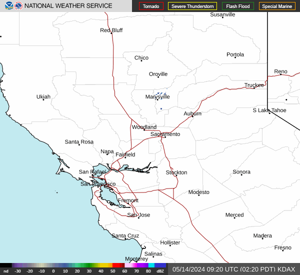
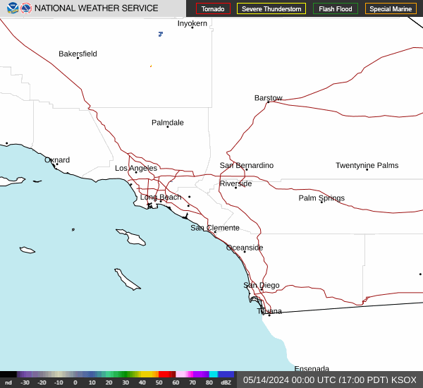
** Position cursor over link to view thumbnail images of base reflectivity, or select link to view individual radar imagery.
Northern California Radar Sites Link to Pacific NW Radar Loop
Radar Status Message
Eureka Eureka
Medford Medford
Reno Reno
Beale AFB Beale AFB
Sacramento Sacramento
San Francisco San Francisco
San Joaquin Valley San Joaquin Valley


Southern California Radar Sites Link to Pacific SW Radar Loop
Radar Status Message
Edwards AFB Edwards AFB
Las Vegas Las Vegas
Santa Ana Mountains Santa Ana Mountains
San Diego San Diego
Vandenberg AFB Vandenberg AFB
Sulphur Mountain Sulphur Mountain
Yuma Yuma


Relative Humidity And Dew Point Tables

** Click on the table you'd like to view. It will show up in the space below.

0-500 ASL | 501-1900 ASL | 1901-3900 ASL | 3901-6100 ASL | 6101-8500 ASL | 8501-11000 ASL | 11001-13500 ASL


Convert
Temperature

Enter temperature in one blank to convert to the other scale.

Fahrenheit:
Celsius:
Kelvin:
 

Calculate
Wind Chill

Enter temperature and wind speed to compute wind chill.

Temperature:
    F C
Wind Speed:
    MPH Knots
Wind Chill:
 

Calculate
Heat Index

Enter temperature and relative humidity below to calculate heat index

Temperature:
    F C
Relative Humidity:
Heat Index:
 

Wind Speed
Conversions

Enter a speed into any blank to convert to all other wind speeds.

MPH:
Km/h:
Knots:
Meters/Second:
 

Calculate
Relative Humidity

Enter temperature and dewpoint below to calculate relative humidity

Temperature:
    F C
Dewpoint:
Relative Humidity:
 

Convert
Pressure

Enter a pressure in one blank to convert to the other pressures.

Millibars:
Inches:
Millimeters:
 

Convert
Precipitation

Enter a depth into any blank to convert to other units .

Inches (hundredths) :
Inches:
Millimeters:
Centimeters:
 

Convert
Meters to Feet
or
Feet to Meters

Enter value (Meters or Feet) to convert:

Meters:
Feet:


RH and Dew Point
Dry-Bulb Temperature: °F
Wet-Bulb Temperature: °F
Relative Humidity: %
Dew Point: °F


This page is an interagency effort providing convenient access to Emergency Command Center Dispatch Area (ECCDA) Radio forecasts, specific National Weather Service Fire Weather Planning Forecasts (FWZ) and National Weather Service Red Flag Warnings and Fire Weather Watches for California. The information available here is targeted for fire suppression, land management and emergency response agencies and their staff. Information about the current wildfires burning in California can be obtained from Cal Fire or the National Interagency Fire Center.

Please email the webmaster for any comments or problems with the page.

Bookmarks for a particular area are at:
ECCDA: weather.gov/wrh/CAFW?area=ECC0##, where ## is the ECCDA number
County: weather.gov/wrh/CAFW?area=CAC###, where ### is the CA County FIPS code
FW Zone: weather.gov/wrh/CAFW?area=CAZ###, where ### is NWS Fire Weather Zone number