Temperatures will rise well above normal with high temperatures peaking at 108 to 113 degrees expected Friday and Saturday across much of the southeastern Arizona desert. Cochise and Santa Cruz counties will be 100 to 105 degrees. An Extreme Heat Warning is in effect Thursday through Sunday.


 Forecast Discussion
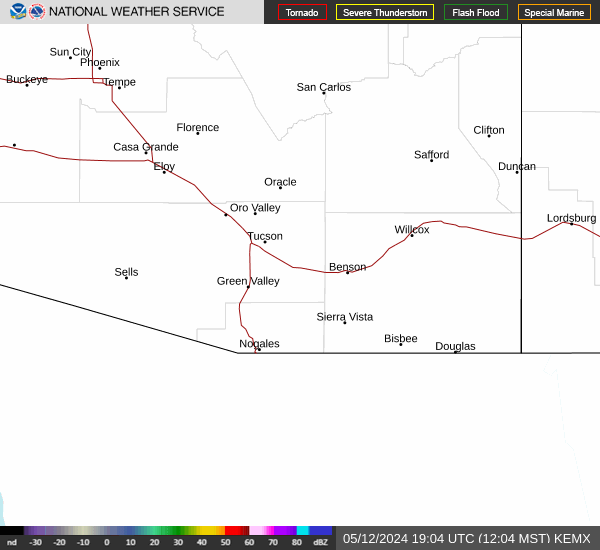 Tucson Radar
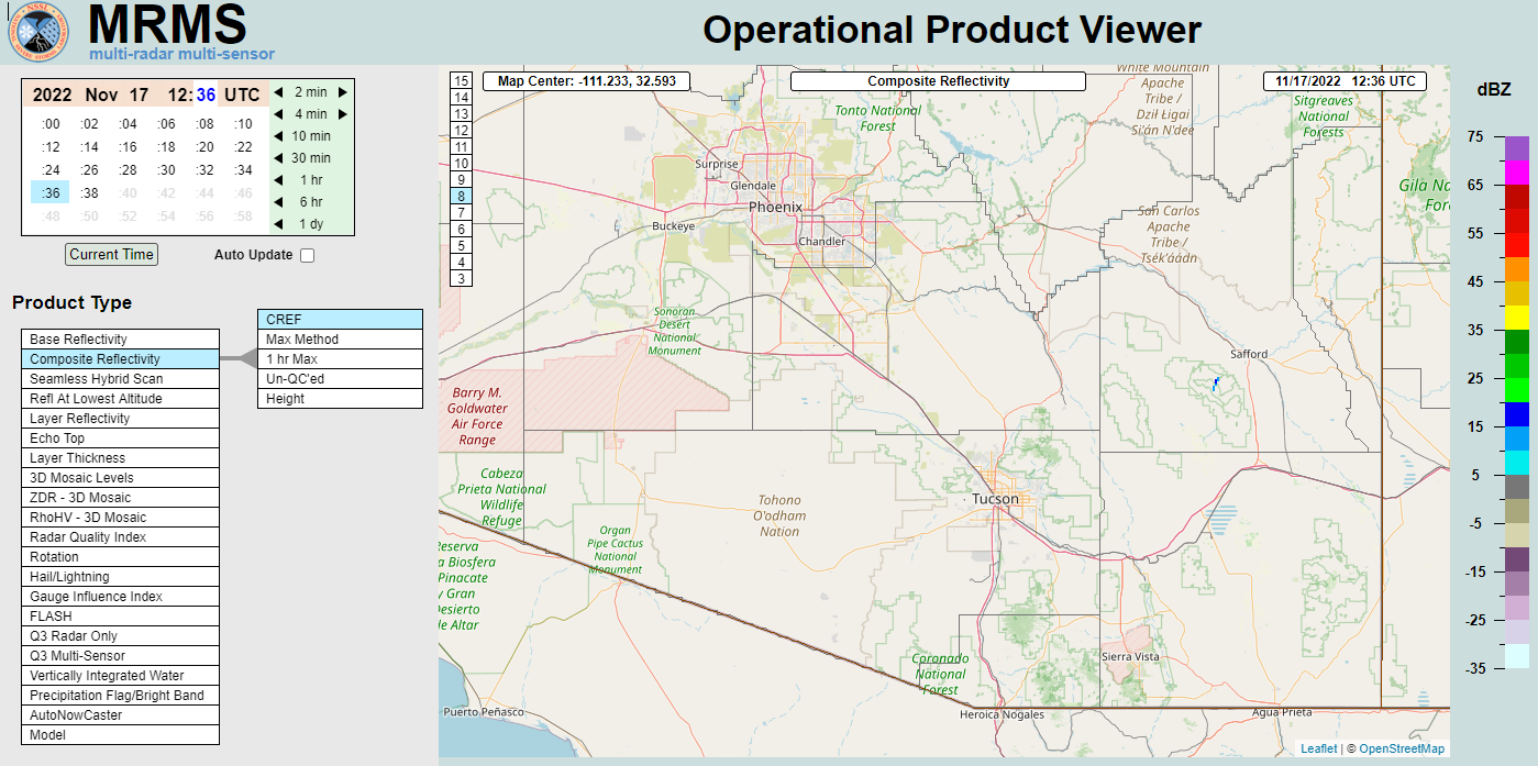 MRMS radar imagery
 GOES-18 Satellite
 Southern Arizona
 Detailed Hazards
 Weather Map
 Graphical Forecasts
 Heat Risk
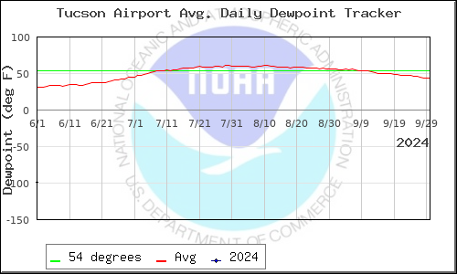 Monsoon
 Climate Graphs & Charts
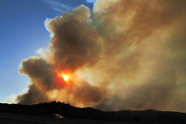 Fire Weather
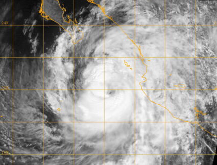 Tropical
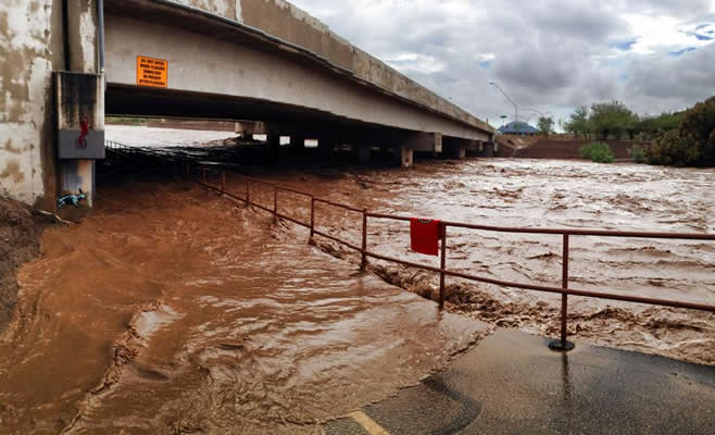 Hydrology
 Skywarn
 Drought Page
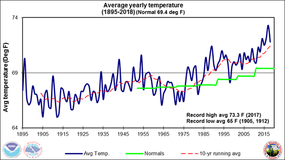 Past Tucson Climate reports
 Hourly Forecasts