
Wildfire smoke continues to result in poor air quality from the Upper Midwest into the Northeast. Dangerous heat and fire weather concerns for portions of the Four Corners region into the central Great Basin. Heavy rainfall and flash flooding possible for the Southeast through Monday. For Hawaii, gusty trade winds a drier weather could result in any fires that start to spread rapidly. Read More >

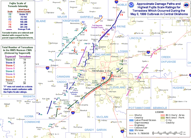
IntroductionOn May 3, 1999, multiple supercell thunderstorms produced many large and damaging tornadoes in central Oklahoma during the late afternoon and evening hours. Some of these storms were killers, including the twisters which moved through and/or near Dover, Shawnee, Perry and Bridge Creek, and the Moore and southern Oklahoma City metropolitan areas. Additional tornadoes also hit areas in south central Kansas, eastern Oklahoma and northern Texas, with over 70 tornadoes being observed across the region, and some tornadoes occurring the during the morning and early afternoon hours of May 4, 1999. The total tornado count in Oklahoma makes the May 3-4, 1999 tornado outbreak the largest ever recorded in the state. A total of 40 people in Oklahoma were killed by the tornadoes on May 3-4, 1999 and another 675 persons were injured. Many homes and businesses were damaged or destroyed throughout the affected areas and the total damage estimate was $1.2 billion. Five deaths, 100 injuries and heavy damage were reported from the Wichita, Kansas metro area. The map below shows the approximate location and paths of the most damaging tornadoes which occurred on May 3-4, 1999. The official storm data report from May 1999 for NWS Norman forecast area can be found here. The official storm data report from May 1999 for NWS Tulsa forecast area can be found here. Frequently asked questions about the F5 tornado that went through Bridge Creek, Moore and the OKC metro area can be found in the Fast Facts section. GIS Users: A KML file depicting the damage paths for tornadoes that occurred in central Oklahoma on May 3, 1999 is available. The outlines and areas of the damage paths are color coded with relation to the parent supercell that spawned each tornado. |
 |
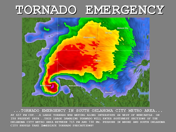


Q: Was the Bridge Creek/Moore/OKC area tornado on May 3, 1999, rated F6?
A: No. The tornado has been rated F5 (minimal F5, in fact), and will not be "upgraded" to F6.
There was some speculation in the media of an F6 rating after "Doppler on Wheels" (DOW) researchers announced that their radar measured 318-mph winds in the tornado while it was near Bridge Creek. However, the jump in reasoning to rating this tornado F6 can not be made, for many reasons:
Q: Was the May 3 tornado the strongest, most violent tornado ever?:
A: Probably not, but we really have no way of knowing. It is impossible to make direct, objective comparisons between the May 3 tornado and most other violent tornadoes of the past. Factors such as inflation, varying population and property density over time and space, and the lack of direct wind speed measurements from all but a very few other tornadoes, prevent such comparisons.
We do know that other tornadoes have been wider, many have been more deadly, some have been longer lived, and many have produced longer damage tracks. So the May 3 tornado was *not* the "biggest" tornado. Nor was it the widest, the deadliest, the longest lived, or the longest track tornado on record.
The May 3 tornado currently is the most expensive tornado ever recorded. The damage estimate (roughly $1 billion) exceeds that of all other past tornadoes, even when inflation is taken into account. If we adjust our damage figures from other violent tornadoes in the past to account for inflation, we find that several (Lubbock,TX - May 11, 1970; Omaha, NE - May 6, 1975; Wichita Falls, TX - April 10, 1979, to name a few) were very close to the May 3 tornado in terms of dollar amount of damage. But to make such comparisons truly representative, we must also account for population growth, and the fact that people generally own more today than they used to. (So not only is property worth more today, but there also is more of it.) It's impossible to adjust for these factors objectively, and hard to even estimate their impact. But efforts to account for these factors suggest that the May 3 tornado probably was *not* the most damaging, at least in terms of material losses.
The May 3 tornado likely does have the highest recorded tornado wind speeds. But since typical wind measuring equipment does not survive a strong tornado, there are about three dozen tornadoes on record from which wind speeds have been obtained. Those measurements usually have been obtained from special research projects, such as the Doppler on Wheels (DOW) project, and have been obtained from only a dozen or so tornadoes (less than 0.1 percent of all tornadoes). So while the DOW data indicate the highest *recorded* tornado wind speed, there have been tens of thousands of tornadoes throughout history for which no wind speeds were ever obtained. Some of them easily could have had stronger winds than the May 3 tornado.
Without wind measurements, tornado wind speeds can only be estimated by examining the damage that was done. If we compare damage caused by the May 3 tornado with that of other tornadoes in the past, we find that several other F5 tornadoes have produced damage comparable to, or even more severe than, the May 3 tornado. Some famous examples of other F5 tornadoes that produced comparable or worse damage - and therefore may have been stronger than the May 3 tornado - include the "Tri-state" Tornado of March 18, 1925, the Woodward, OK tornado of April 9, 1947, the Xenia, OH tornado of April 3, 1974, and the Andover, KS tornado of April 26, 1991.
It's also important to know that although the tornado was rated F5, very few areas affected by this tornado actually experienced F5 damage. There were only a few small, narrow areas near the center of the damage path where intermittent F5 damage was found: in the Bridge Creek area (Grady County), and in a few parts of south Oklahoma City and Moore (Cleveland County). This is less than 1 percent of the approximately 15 square miles of damage that this tornado produced. The maximum damage in Oklahoma and McClain Counties was rated F4 (which, of course, is still very devastating damage).


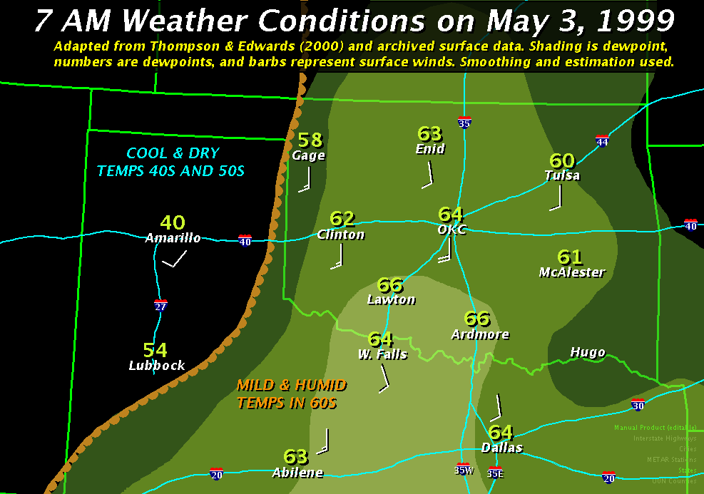
As daylight broke on May 3rd of 1999, across Oklahoma, skies were generally cloudy with a deck of low stratus clouds spread over much of the state. The only exception was along and west of a dryline that stretched from near Gage, Oklahoma to near Childress, Texas at dawn. The stratus clouds were the result of significant moisture return that occurred overnight, as morning dewpoints were in the low to mid 60s. Not surprisingly, the air was quite humid at the surface, with temperatures only in the mid to upper 60s.
Meanwhile, the threat for severe weather was being closely monitored by the Storm Prediction Center and the National Weather Service forecast office in Norman, Oklahoma. The Storm Prediction Center had posted a "slight risk" (image courtesy of SPC publication) on their early morning outlooks for most of Kansas, Oklahoma, and north Texas. The Slight Risk was indicative of the general consensus by forecasters that there was a severe weather threat over the Southern Plains, including the risk of some supercells. However, the precise location of the greatest threat area was a bit uncertain that early in the morning.
The forecasters at the forecast office in Norman agreed about the threat of severe weather, and mentioned the risk in a 6:30 AM CDT Thunderstorm Outlook. It mentioned the increasing low-level moisture, dryline and approaching upper-level low pressure trough would combine to cause a threat of large hail, damaging winds and tornadoes. It also cautioned emergency managers and spotter groups to be prepared for possible activation in the afternoon. In fact, the threat of severe thunderstorms was mentioned in most of the zone forecasts for the counties in Oklahoma at the 4:30 AM CDT issuance.
Through the morning hours, forecasters became progressively more certain of a significant severe weather episode. The low cloud cover began to break up in advance of the dryline as daytime heating commenced. Although high cirrus clouds would overspread the area later, into the afternoon hours, at least some filtered sunshine was observed in most spots for most of the day. The sunshine and heating, combined with abundant low-level moisture, would combine to produce a very unstable air mass. As forecasters modified 1200Z (7:00 AM CDT) upper air balloon sounding data with expected afternoon conditions, they noticed the potential for a weakening cap and CAPE values potentially exceeding 4000 j/kg. Such instability levels are climatologically favorable for severe supercells and tornadoes when combined with the strong directional shear that was also forecast.
Accordingly, the risk of severe thunderstorms was upgraded to moderate (graphic: courtesy SPC) in a new outlook at 11:15 AM CDT. Here is an excerpt of the text from that outlook: "...will provide sufficient shear for a few strong or violent tornadic supercells given the abundant low level moisture and the high instability." Forecasters at the NWS forecast office in Norman mentioned the increasing threat of a severe weather outbreak from late in the afternoon and into the evening in a Thunderstorm Outlook at 12:30 PM CDT. The threat for tornadoes was again mentioned.
As the early afternoon wore on, the potential for a significant severe weather outbreak appeared more and more likely. Special weather balloon launches around 1 PM suggested wind profiles highly conducive for tornado development - speeding up with height, and changing directions with height. They also showed a very unstable atmosphere. As this special article on the Norman Weather Partners website points out, "it became more obvious something major was looming." Therefore, at 3:49 PM CDT, the risk of severe weather was upgraded to a high risk (graphic) for all of the NWS Norman forecast area.
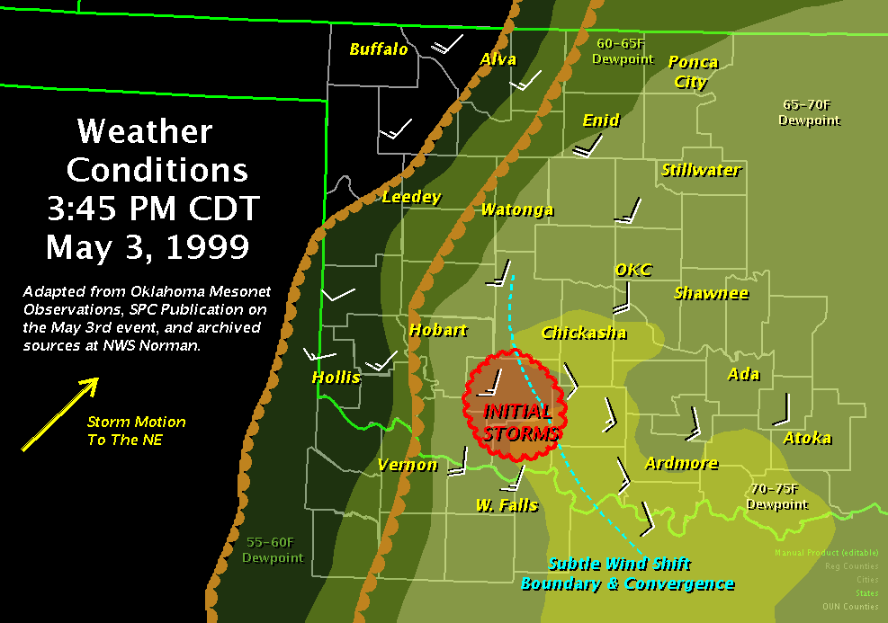
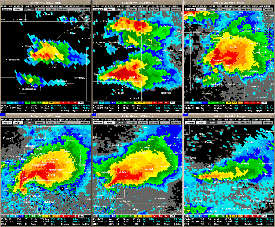
The first cumulus towers developed, but quickly dissipated between 3:00PM and 3:15PM CDT in northwestern Texas. However, renewed cumulus development occurred between 3:30PM and 4:00PM CDT over southwest Oklahoma. A few of these cumulus towers developed into significant supercells by 5:00PM CDT before moving northeast towards the Oklahoma City metropolitan area. The first Severe Thunderstorm Warning was issued at 4:15PM CDT for Comanche County, and five minutes later quarter sized hail was falling in Lawton.
At 4:47 PM CDT, the first Tornado Warning was issued for Comanche, Caddo and Grady Counties. Four minutes later the first tornado report was received at the NWS office in Norman, from a spotter 7 miles east-northeast of Medicine Park. Just beyond the 5 o'clock hour, it became obvious that a significant outbreak was unfolding, and that tornadoes would threaten the Oklahoma City metropolitan area. Forecasters at the NWS office in Norman noticed that the thunderstorms continued to gain strength in a very unstable and moist air mass.
At 5:41 PM CDT, the NWS in Norman issued a Short Term Forecast that discussed the potential for tornadic supercells to track northeastward into the Oklahoma City metropolitan area. It cautioned people to remain alert through the evening hours. By 6:30PM CDT, the tornadic supercells were expected to threaten the outer reaches of the Oklahoma City metropolitan area within the next hour. A new Short Term Forecast discussed the ongoing supercells and forecasted that the threat of tornadoes "will continue to be high through the evening".
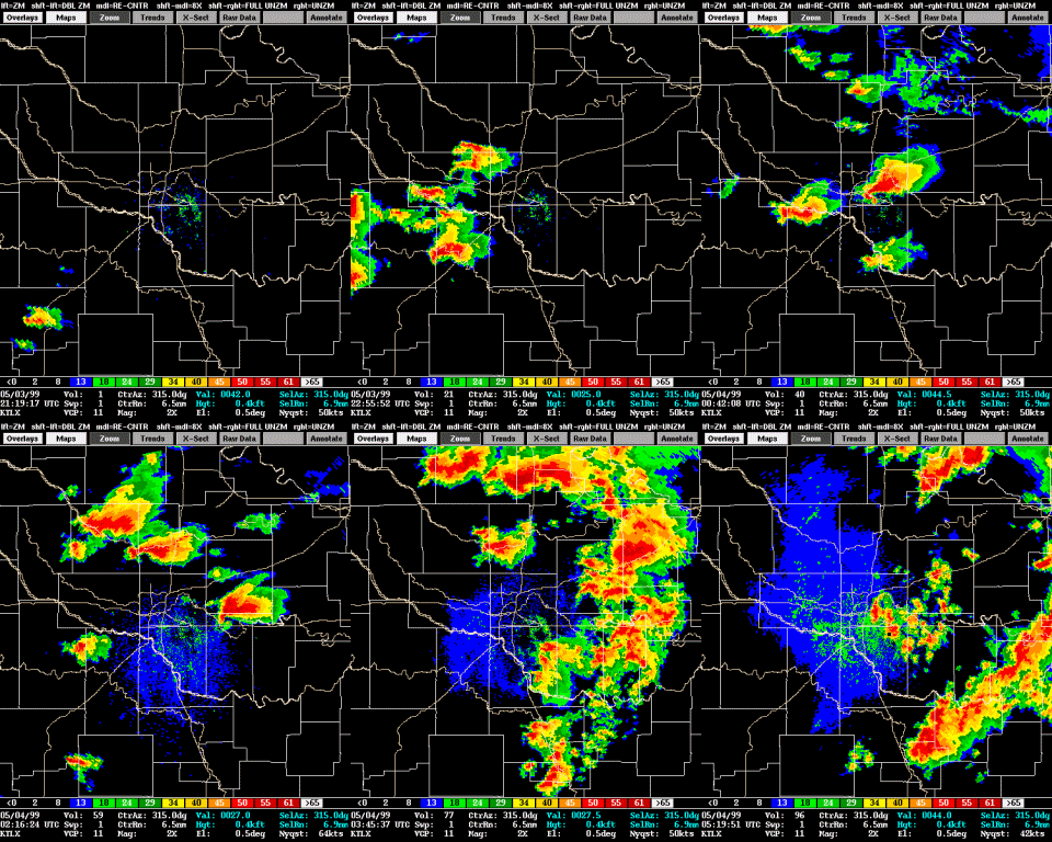
The tornadic supercells then continued to move northeast into the Oklahoma City metro area, and across Central Oklahoma. For information about individual storms, click on the links provided at the top of this writeup. Here is a map of the supercell tracks across the NWS Norman county warning area, as adapted from radar data and the SPC publication previously referenced:
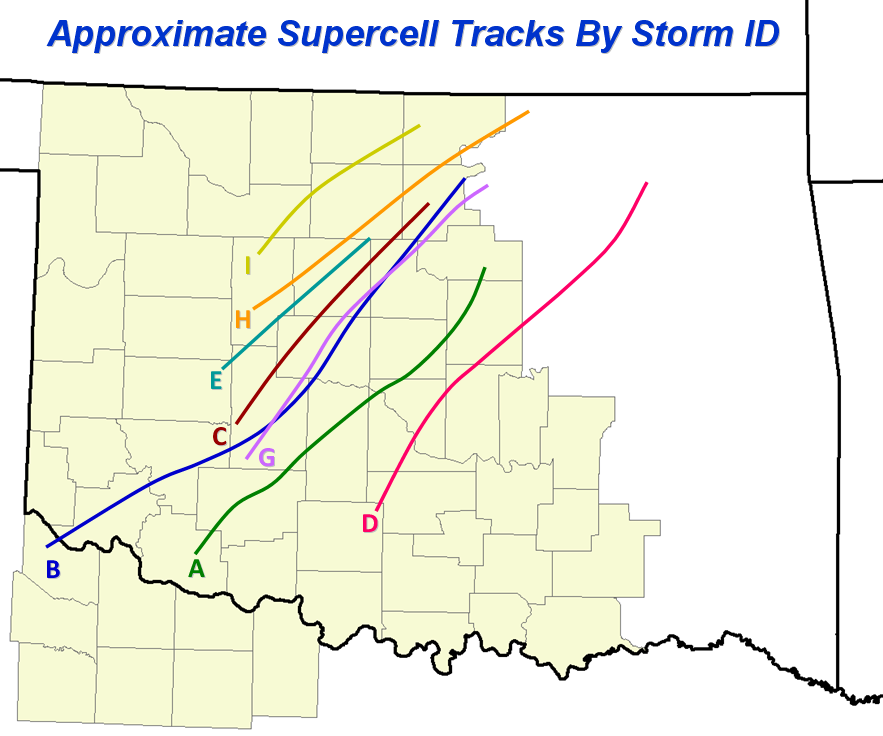


 Storm A (see the Storm Data tab) produced 14 tornadoes over a period of about 3.5 hours and was eventually responsible for the F5 tornado (A9) that struck Bridge Creek, Oklahoma City, and Moore. The storm began around 3:30 PM CDT (2:30 PM CST) in Tillman County, OK. It moved to the northeast and once it reached parts of Comanche County it produced its first tornado at 4:51 PM CDT, 7 miles east-northeast of Medicine Park, Oklahoma (A1). As the storm crossed from Comanche County into Caddo County, it produced four other tornadoes, one of which was rated an F3 (A3). The F3 tornado struck a rural area just east of Apache. The sixth tornado that the storm produced crossed from Caddo County into Grady County and was rated a strong F3 tornado (A6). This tornado ended shortly after striking the northwest sides of Chickasha.
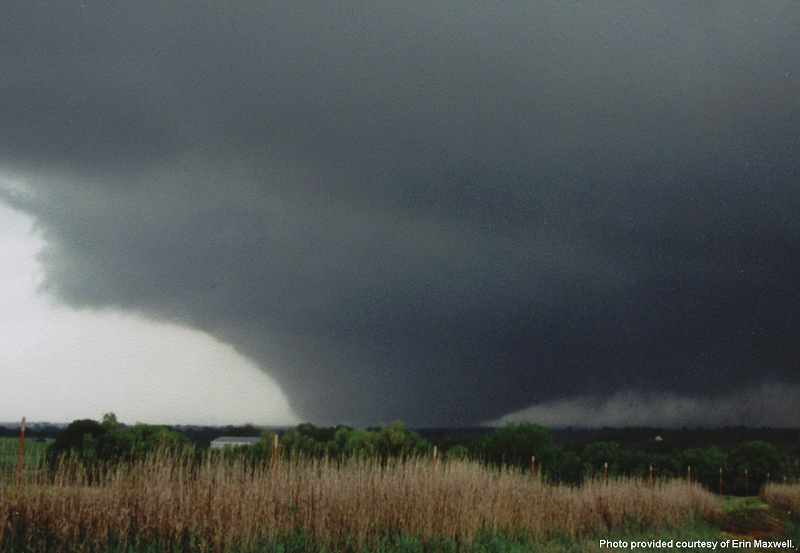
The storm gained intensity and became better organized as it moved into Grady County. As it moved into the Amber area in Central Grady County, it produced a tornado that would become the most famous tornado of the entire outbreak, and one of the most famous tornadoes in U.S. history (A9). The track of the tornado is detailed below, but in general it tracked from near Amber, to the far northern sections of Newcastle, through the southern sections of Oklahoma City, to the northern sections of Moore, through OKC again, to Del City, and on into Midwest City. It was rated an F5 on the Fujita Scale, the highest rating that a tornado can achieve. Two satellite tornadoes rotated around this main tornado, which was a large, wedge-shaped tornado along portions of its track. The storm produced three more tornadoes in eastern Oklahoma County, and the last tornado produced by Storm A ended at 8:25 PM CDT.
Storm A produced 5 strong or violent tornadoes (rated F2 or higher) during its lifespan. The combined damage path length of all 14 tornadoes that the storm produced is over 70 miles.
The 9th tornado, A9, was a violent and long-tracked tornado, and eventually produced F5 damage in Bridge Creek, Oklahoma City, and Moore.
This tornado developed in Grady County about two miles south-southwest of Amber, and quickly intensified as it crossed OK State Highway 92. F4 damage was first discovered about 4 miles east-northeast of Amber, and extended for 6½ miles as the tornado continued to move northeast.
Two areas of F5 damage were observed in the Bridge Creek area. The first was in the Willow Lake Addition, a rural subdivision of mobile homes and some concrete slab homes in Bridge Creek, in far eastern Grady County. Two homes were completely swept from their concrete slabs, and about one dozen automobiles were carried about ¼ mile. All mobile homes in this area in the direct path of the tornado were obliterated, resulting in a high concentration of fatalities. Asphalt pavement about 1 inch thick was also peeled from a section of rural road EW125. The second area of F5 damage was observed about 1 mile west of the Grady/McClain County line and consisted of a cleanly swept slab home with foundation anchor bolts and another vehicle lofted ¼ mile. The maximum width of damage in Bridge Creek was estimated to be 1 mile.
Approximately 200 mobile homes/houses were destroyed, and hundreds of other structures were damaged. The Ridgecrest Baptist Church in Bridge Creek was also destroyed. Twelve people died in Bridge Creek, nine in mobile homes. All fatalities and the majority of injuries were concentrated in the Willow Lake Addition, Southern Hills Addition, and Bridge Creek Estates, which consisted mostly of mobile homes. Compared to sections of Oklahoma and Cleveland Counties, which were also in the path of this tornado, eastern Grady County, including the Bridge Creek area, was rural and sparsely populated.
The tornado maintained a nearly straight path to the northeast, paralleling Interstate 44 as it entered McClain County. An exception was when it made a slight jog to the right and moved directly over the 16th Street overpass in Newcastle, where a woman was killed when she was blown out from under the overpass. The tornado continued into northern sections of rural Newcastle and crossed the interstate again just north of the US 62 Newcastle interchange.
While this tornado was moving through the northern portion of Newcastle, a weak satellite tornado (A10), touched down in a field in rural north Newcastle. Two areas of F4 damage were observed in McClain County, associated with tornado A9. The first area overlapped the Grady/McClain County line and extended to about 3 miles northwest of Newcastle, ending just west of the 16th St. overpass on Interstate 44, while the other area was observed 2 miles northwest of Newcastle. In McClain County, 38 homes and 2 businesses were destroyed, and 40 homes were damaged.
Damage then diminished to F2 intensity as the tornado crossed the Canadian River into northern Cleveland County. The tornado entered Cleveland County between Portland and May Avenues, and between SW 164th and SW 179th in south Oklahoma City. Damage was rated F2 in this area with a path width averaging ½ mile.
The first major housing development to be struck in Cleveland County was Country Place Estates, located just west of Pennsylvania Ave., where about 50 homes were damaged. One dozen of these homes received F4 damage. One slab home was cleanly swept from its foundation, and several vehicles were picked up from the subdivision and tossed across Pennsylvania Ave., a distance of approximately ¼ mile. One vehicle was found under a bridge just east of the intersection of Pennsylvania and SW 134th. This particular area of damage has been rated high F4/low F5. Oklahoma City Police indicated that part of an airplane wing, believed to have originated from Chickasha Municipal Airport in Grady County, landed in this area.
The tornado then tracked through Eastlake Estates, a densely populated housing development, located north of SW 134th and between Pennsylvania and Western, where 3 fatalities occurred. Entire rows of homes were flattened to piles of rubble. Four adjacent homes on one street were nearly cleaned off their foundations leaving only concrete slabs, which earned an F5 rating. Three other homes in this housing division also received F5 damage, with the remaining destruction rated high F4. Three people also died in the 600-unit Emerald Springs Apartments on Western Ave., across the street from Eastlake Estates. One 2-story apartment building on the north end of the apartment complex was virtually flattened, and received an F5 rating.
Westmoore High School, just north of Eastlake Estates, was also heavily damaged. Although a well-attended awards ceremony was being held at the school during the tornado, no one was injured, however dozens of vehicles in the school parking lot were either damaged or destroyed. F4 damage continued northeast into another residential area east of Western Ave. and south of 119th St.
The tornado then entered the western city limits of Moore (Cleveland County) along Santa Fe and near NW 12th, and produced damage ½ to ¾ mile wide. Maximum damage, rated high F4/low F5, extended northeast to near Janeway with several large groups of homes flattened. Four people died in this residential area. F4 damage continued to South Shields, just north of the junction with Interstate 35. A woman was also killed when she was blown out from under the Shields overpass of Interstate 35.
The tornado appeared to weaken just slightly after crossing Interstate 35, however it remained a formidable storm with widespread high F3/low F4 damage observed in Highland Park, a residential area south of the First Baptist Church on 27th St. in Moore. Escaping with relatively minor damage, and being located near the halfway point of the tornado path, the First Baptist Church in Moore eventually served as the primary coordination center for most tornado relief efforts.
The tornado then continued northeast and entered the southern portion of a sparsely populated industrial district. F4 damage continued through this area to near SE 89th St., the Cleveland/Oklahoma County border. Moving into Oklahoma County, the tornado curved northward, through the remaining industrial district north of Interstate 240, where 2 businesses were destroyed. This damage was rated F4. Two people were also killed at a trucking company near the intersection of S. Bryant Ave. and Interstate 240.
A freight car, with an approximate weight of 18 tons, was picked up intermittently and blown ¾ mile across an open field. The body of the freight car was deposited southeast of the intersection of S. Sunnylane Rd. and SE 59th. Gouge marks were observed in the field every 50 to 100 yards, suggesting the freight car had been airborne for at least a short distance. While tornado A9 was moving through southeast Oklahoma City, another tornado A11) touched down briefly near the intersection of SE 80th and Sooner Rd. (Oklahoma County). Tornado A9 then entered residential neighborhoods between SE 59th and SE 44th, where a woman was killed in her house.
Crossing SE 44th into Del City (Oklahoma County), the tornado moved through the highly populated Del Aire housing addition killing 6 people and damaging or destroying hundreds of homes, many with F3/F4 damage. The tornado then crossed Sooner Rd., where it damaged an entry gate and several costly structures at Tinker Air Force Base.
Tornado A9 then crossed 29th St. into Midwest City (Oklahoma County), destroying 1 building in the Boeing Complex and damaging 2 others. Widespread F3/F4 damage continued as the tornado moved across Interstate 40, affecting a large business district. Approximately 800 vehicles were damaged at Hudiburg Auto Group, located just south of Interstate 40. Hundreds of the vehicles were moved from their original location, and dozens of vehicles were picked up and tossed northward across Interstate 40 into several motels, a distance of approximately 0.2 miles. Numerous motels and other businesses including Hampton Inn, Comfort Inn, Inn Suites, Clarion Inn, Cracker Barrel, and portions of Rose State College, were destroyed. Some of the damage through this area was rated high F4, however low F5 was considered.
The tornado then continued into another residential area between SE 15th and Reno Ave., where 3 fatalities occurred. High F4 damage was inflicted to 4 homes in this area. Two of these homes were located between SE 12th and SE 11th, near Buena Vista, and the other 2 homes were located on Will Rogers Rd., just south of SE 15th. Damage then diminished rapidly to F0/F1 as the tornado crossed Reno Ave. The tornado dissipated 3 blocks north of Reno Ave., between Sooner Rd. and Air Depot Blvd.
The Oklahoma State Department of Health in Oklahoma City recorded 36 direct fatalities. In addition, 5 people died of illness or accident during or shortly after the tornado, and were not considered in the direct fatality total. The number of injuries was estimated at 583, based on numbers provided from the Oklahoma Department of Health, which were then adjusted to account for people assumed to be unaccounted for. Injuries which resulted from removing debris, conducting search and rescue efforts, and taking shelter from the tornado, were not considered in the injury total. An estimated 1,800 homes were destroyed, and 2,500 homes were damaged, resulting in approximately $1 billion in damage.


Surveys conducted by teams in the NWS Norman and NWS Tulsa forecast areas in early to mid May 1999 revealed that 63 tornadoes occurred during the afternoon and evening of May 3, 1999, and the early morning hours of May 4, 1999 in the state of Oklahoma. A total of 58* tornadoes occurred in the NWS Norman forecast area in Oklahoma, Logan, Cleveland, Pottawatomie, and Lincoln Counties in central Oklahoma. A total of 6* tornadoes occurred in the NWS Tulsa forecast area in Okfuskee and Creek Counties in central Oklahoma. *The 52nd tornado of this large tornado outbreak began in the NWS Norman forecast area in Lincoln County, and then crossed over into NWS Tulsa forecast area and traveled through Creek County.
As the weather system that spawned the earlier tornadoes progressed through the region, additional thunderstorms developed during the mid to late morning hours of May 4, 1999 and produced an additional 9 tornadoes mainly in eastern Oklahoma. Since less than 6 hours occurred between the end of the original 63 tornadoes and start of the additional 9 tornadoes, the latter tornadoes have been included in the list as part of this severe weather/tornado outbreak. Note: The first 63 tornadoes in the event include a color-coded tornado ID based on the parent supercell that spawned the particular tornado in Oklahoma on May 3 and the early morning hours of May 4, 1999. These IDs match those on the expanded outbreak map for the May 3-4, 1999 event.
| Tornadoes by Intensity | ||||||
|---|---|---|---|---|---|---|
| F0 | F1 | F2 | F3 | F4 | F5 | Total |
| 33 | 21 | 8 | 7 | 2 | 1 | 72 |
| # | Tornado ID |
Date | Time (CST) |
Length of Path (miles) |
Width of Path (yards) |
F-Scale | Killed | Injured | County | Location |
|---|---|---|---|---|---|---|---|---|---|---|
| 1 | A1 | 05/03/1999 | 1551-1552 | 0.5 | 25 | F0 | 0 | 0 | Comanche | 7 ENE Medicine Park |
| 2 | A2 | 05/03/1999 | 1555 | 0.1 | 25 | F0 | 0 | 0 | Comanche | 3 W Elgin |
| 3 | A3 | 05/03/1999 | 1620-1635 | 6 | 100 | F3 | 0 | 3 | Caddo | 3 E Apache - 2 NE Stecker |
| 4 | A4 | 05/03/1999 | 1626 | 0.1 | 25 | F0 | 0 | 0 | Caddo | 3 NW Cyril |
| 5 | B1 | 05/03/1999 | 1636 | 0.1 | 25 | F0 | 0 | 0 | Kiowa | Just W of Tom Steed Lake/3 S Roosevelt |
| 6 | A5 | 05/03/1999 | 1638 | 0.1 | 25 | F0 | 0 | 0 | Caddo | 2 S Anadarko (Indian City Hill) |
| 7 | A6 | 05/03/1999 | 1646-1710 | 9 | 880 | F3 | 0 | 9 | Caddo/ Grady | 2 WSW Laverty - 4 S Verden - 2.5 WNW Downtown Chickasha |
| 8 | A7 | 05/03/1999 | 1707-1708 | 1 | 75 | F0 | 0 | 0 | Grady | 5 W Downtown Chickasha |
| 9 | A8 | 05/03/1999 | 1712-1721 | 4 | 500 | F2 | 0 | 0 | Grady | 2.5 NW Downtown Chichasha - Chickasha Airport (NW edge of Chicakasha) - 4 NNE Downtown Chickasha |
| 10 | B2 | 05/03/1999 | 1720-1724 | 2 | 25 | F0 | 0 | 0 | Caddo | 12 WNW Apache |
| 11 | A9 | 05/03/1999 | 1726-1848 | 38 | 1760 | F5 | 36 | 583 | Grady/ McClain/ Cleveland/ Oklahoma | 2 SSW Amber - far N Newcastle - SW Oklahoma City - N Moore-S Del City-W Midwest City |
| 12 | B3 | 05/03/1999 | 1738-1759 | 7 | 150 | F1 | 0 | 0 | Caddo | 8 S Fort Cobb - 1 W Washita |
| 13 | B4 | 05/03/1999 | 1756 | 0.1 | 100 | F0 | 0 | 0 | Caddo | 5 W Anadarko |
| 14 | C1 | 05/03/1999 | 1758-1807 | 4 | 100 | F0 | 0 | 0 | Canadian/ Kingfisher | 1.5 W Okarche - 4 N Okarche |
| 15 | C2 | 05/03/1999 | 1800 | 0.1 | 25 | F0 | 0 | 0 | Canadian/ Kingfisher | Okarche |
| 16 | A10 | 05/03/1999 | 1810 | 0.2 | 20 | F0 | 0 | 0 | McClain | North Newcastle |
| 17 | B5 | 05/03/1999 | 1812-1813 | 1 | 25 | F0 | 0 | 0 | Caddo | 4 NNW - 5 NNW Anadarko |
| 18 | B6 | 05/03/1999 | 1820 | 0.1 | 25 | F0 | 0 | 0 | Caddo | Near north part of Lake Chickasha (4 ESE Gracemont) |
| 19 | A11 | 05/03/1999 | 1831-1832 | 0.5 | 60 | F0 | 0 | 0 | Oklahoma | SE 80th and Sooner Road (.4 S of I-240) |
| 20 | B7 | 05/03/1999 | 1834 - 1835 | 0.5 | 25 | F0 | 0 | 0 | Caddo | 9 E - 10 ENE Gracemont |
| 21 | B8 | 05/03/1999 | 1837-1840 | 2 | 300 | F1 | 0 | 0 | Grady | 8 WSW - 6 WSW Minco |
| 22 | B9 | 05/03/1999 | 1837-1848 | 5 | 50 | F1 | 0 | 0 | Caddo | 5 S - 1 E Cogar |
| 23 | B10 | 05/03/1999 | 1847-1900 | 4 | 60 | F1 | 0 | 0 | Grady | 5 W - 4 NW Minco |
| 24 | A12 | 05/03/1999 | 1853-1907 | 7 | 220 | F2 | 0 | 2 | Oklahoma | 3 SW Choctaw - Choctaw - 4 SE Jones (near NE 50th/Triple XXX) |
| 25 | B11 | 05/03/1999 | 1855 | 0.1 | 50 | F1 | 0 | 0 | Grady | 5 SW Minco |
| 26 | B12 | 05/03/1999 | 1903 | 0.1 | 25 | F0 | 0 | 0 | Canadian | ~2.5 WNW Union City |
| 27 | A13 | 05/03/1999 | 1909-1915 | 2 | 50 | F0 | 0 | 0 | Oklahoma | 4 ESE - 3 E Jones (just NE of 63rd/Triple XXX - just NW of Britton/Triple XXX) |
| 28 | B13 | 05/03/1999 | 1913-1914 | 0.75 | 100 | F0 | 0 | 0 | Canadian | 2 NNE Union City |
| 29 | B14 | 05/03/1999 | 1916-1918 | 1 | 75 | F0 | 0 | 0 | Canadian | 4 NNE Union City - 5 NNE Union City |
| 30 | A14 | 05/03/1999 | 1917-1925 | 4 | 50 | F1 | 0 | 0 | Oklahoma | 4 ENE - 6 NE Jones (~.5 SSW of 122nd/Triple XXX - I-404/ Triple XXX) |
| 31 | E1 | 05/03/1999 | 1921 | 0.1 | 25 | F0 | 0 | 0 | Blaine | 3 W Geary |
| 32 | B15 | 05/03/1999 | 1925 | 0.1 | 25 | F0 | 0 | 0 | Canadian | 3 ESE El Reno |
| 33 | E2 | 05/03/1999 | 1929-1941 | 9 | 150 | F1 | 0 | 0 | Canadian/ Blaine/ Kingfisher | 10 WNW Calumet - 7 SSE Omega |
| 34 | B16 | 05/03/1999 | 1934-1946 | 6 | 150 | F1 | 0 | 0 | Canadian | 6 WNW Yukon - 3 W Piedmont |
| 35 | D1 | 05/03/1999 | 1934-1952 | 9 | 30 | F1 | 0 | 0 | Cleveland/ Pottawatomie | 1 N Etowah - Pink - 1.5 N Pink |
| 36 | E3 | 05/03/1999 | 1941-2006 | 12 | 450 | F3 | 0 | 2 | Kingfisher | 7 S Omega (1 S Altona) - 6 SSE Omega (2 ENE Altona) - 11 WSW Kingfisher (3 ENE Altona) - 7 NW Kingfisher |
| 37 | B17 | 05/03/1999 | 1948-2000 | 8.1 | 200 | F2 | 0 | 0 | Canadian/ Kingfisher | 1.5 W Piedmont - 6 NNW Piedmont |
| 38 | E4 | 05/03/1999 | 1955-1956 | 0.5 | 50 | F0 | 0 | 0 | Kingfisher | 6 W Kingfisher |
| 39 | B18 | 05/03/1999 | 1958-2022 | 10 | 150 | F1 | 0 | 0 | Canadian/ Kingfisher | 4 NNE Piedmont - 6 SW Cashion - 4 NW Cashion |
| 40 | E5 | 05/03/1999 | 2003 | 0.1 | 25 | F0 | 0 | 0 | Kingfisher | 6 WNW Kingfisher |
| 41 | D2 | 05/03/1999 | 2005-2020 | 7 | 250 | F2 | 1 | 10 | Pottawatomie | 2 N Bethel Acres - NW Shawnee (Clarks Heights Addition at I-40/US-177) - 7 E McLoud (Acme Rd/Mocassin Trail) |
| 42 | B19 | 05/03/1999 | 2010-2012 | 1 | 100 | F1 | 0 | 0 | Logan | 2 SSE - 1 SE Cashion |
| 43 | E6 | 05/03/1999 | 2010-2038 | 15 | 880 | F4 | 1 | 11 | Kingfisher | 4 SSW Dover - Dover - 3 NE Dover - 7 ESE Hennessey |
| 44 | D3 | 05/03/1999 | 2020-2045 | 11 | 100 | F1 | 0 | 0 | Pottawatomie/ Lincoln | 6 NNW Downtown Shawnee (just outside Shawnee City Limits; Wolverine Rd/ Leo St) - SE Meeker - 4 NE Meeker |
| 45 | H1 | 05/03/1999 | 2022-2024 | 0.8 | 50 | F0 | 0 | 0 | Kingfisher | 2 ESE Omega |
| 46 | B20 | 05/03/1999 | 2025-2145 | 39 | 1760 | F4 | 2 | 26 | Logan/ Payne/ Noble | 3 SW Cimarron City - Cimarron City - Mulhall - 3 ENE Perry |
| 47 | E7 | 05/03/1999 | 2030-2037 | 4 | 440 | F1 | 0 | 0 | Kingfisher | 3 NE Dover - 4 SE Hennessey |
| 48 | H2 | 05/03/1999 | 2050 | 0.2 | 30 | F0 | 0 | 0 | Kingfisher | 3 NW Dover |
| 49 | G1 | 05/03/1999 | 2056-2058 | 1 | 50 | F0 | 0 | 0 | Canadian | 3 SW - 2 SW El Reno |
| 50 | H3 | 05/03/1999 | 2057-2102 | 1 | 150 | F2 | 0 | 0 | Kingfisher | 1 ESE Hennessey |
| 51 | G2 | 05/03/1999 | 2103-2137 | 22 | 350 | F3 | 0 | 0 | Canadian/ Kingfisher | 1 NNE El Reno - 8 SE Kingfisher |
| 52 | D4 | 05/03/1999 | 2110-2150 | 16 | 750 | F3 | 0 | 13 | Lincoln/ Creek | 3 NNE Sparks - Davenport - Stroud - 1 S Stroud Lake - 1 NW Milfay |
| 53 | H4 | 05/03/1999 | 2118-2128 | 8 | 440 | F2 | 0 | 0 | Logan/ Garfield | 3 SW Marshall - 9 SSE Covington (5 NE Marshall) |
| 54 | I1 | 05/03/1999 | 2128-2130 | 1 | 200 | F1 | 0 | 0 | Major | 6 S Ringwood |
| 55 | G3 | 05/03/1999 | 2138-2144 | 3 | 150 | F0 | 0 | 0 | Kingfisher/ Logan | 2 SW - 0.5 N Cashion |
| 56 | G4 | 05/03/1999 | 2140-2141 | 0.5 | 50 | F0 | 0 | 0 | Kingfisher | 8 E - 8 ESE Kingfisher |
| 57 | G5 | 05/03/1999 | 2156-2218 | 13 | 880 | F3 | 0 | 13 | Logan | 2.5 S Crescent - 4 E Crescent - 4 SW Mulhall |
| 58 | G6 | 05/03/1999 | 2233-2236 | 2 | 440 | F2 | 0 | 0 | Logan | 3 SSW - 2 S Mulhall |
| 59 | D5 | 05/03/1999 | 2258-2300 | 2 | 50 | F0 | 0 | 0 | Creek | 2 WSW Sapulpa - Sapulpa |
| 60 | D6 | 05/03/1999 | 2308-2321 | 7 | 150 | F1 | 0 | 0 | Creek/ Tulsa | 2 NE Sapulpa - 6 NE Sapulpa - Tulsa |
| 61 | J1 | 05/04/1999 | 0059 | 0.5 | 50 | F0 | 0 | 0 | Muskogee | 1 S - 1 SW Boynton |
| 62 | L1 | 05/04/1999 | 0100-0101 | 3 | 100 | F1 | 0 | 0 | Cherokee | 2.5 WNW - 3 N Hulbert |
| 63 | L2 | 05/04/1999 | 0211 | 0.5 | 50 | F1 | 0 | 0 | Adair | 4 NE Proctor |
| 64 | 05/04/1999 | 0600-0603 | 2 | 50 | F0 | 0 | 0 | Cleveland | Southeast OKC (near SE149/Midwest Blvd) | |
| 65 | 05/04/1999 | 0630 | 0.5 | 50 | F0 | 0 | 0 | Osage | 4 N Hominy | |
| 66 | 05/04/1999 | 0950-0951 | 1.0 | 50 | F1 | 0 | 0 | Pushmataha/ Pittsburg | 13 W Clayton - 18 S Hartshorne | |
| 67 | 05/04/1999 | 1030-1050 | 14 | 100 | F1 | 0 | 0 | Latimer/ Haskell | 2 S Panola - 7 N Red Oak - 3SSW - 2S Lequire | |
| 68 | 05/04/1999 | 1100-1115 | 9 | 80 | F0 | 0 | 0 | Haskell | 2 SW McCurtain - 3 SW Keota | |
| 69 | 05/04/1999 | 1121 | 0.5 | 75 | F1 | 0 | 0 | Le Flore | Cowlington | |
| 70 | 05/04/1999 | 1134-1137 | 2 | 80 | F1 | 0 | 0 | Sequoyah | Hanson - 2 S Akins | |
| 71 | 05/04/1999 | 1148-1210 | 14.6 | 100 | F2 | 0 | 0 | Red River TX/ McCurtain | 15.3 N Clarksville TX - 12 WSW - 10.1 NW Idabel | |
| 72 | 05/04/1999 | 1154-1237 | 39 | 175 | F3 | 0 | 0 | Sequoyah/ Adair/ Crawford AR/ Washington AR | 4 W Short - 5 N Short - 10 SE Stilwell - 7 SW Fayetteville AR |


| Storm A | Storm B | Storm C | Storm D | Storm E | Storm G | Storm H | Storm I |
 |
 |
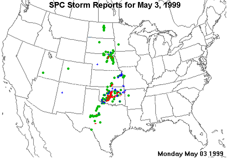
|
NOTE: This is only a preliminary and incomplete listing of severe thunderstorm and tornado reports based on LSRs (local storm reports) received at SPC. For the "final word" on severe weather events, refer to the publication Storm Data, available from the National Climatic Data Center.
TTAA00 KMKC 041333
STADTS
SPC TORNADO AND SEVERE THUNDERSTORM REPORTS
UNOFFICIAL - FOR OFFICIAL REPORTS, SEE PUBLICATION 'STORM DATA'
FOR 06CST MON MAY 3 1999 THRU 06CST TUE MAY 4 1999
EVENT LOCATION REMARKS (CST)TIME
.....TORNADO REPORTS..........TORNADO REPORTS..........TORNADO REPORTS.....
2 *TORN 5 NE LAWTON OK (4 ENE FSI) 3/1551
OKC/LSR 3467 9832
1 *TORN 3 W ELGIN OK (9 NNE FSI) 3/1551
BRIEF TOUCHDOWN OKC/LSR 3478 9834
3 *TORN 3 W CYRIL OK (17 NNE FSI) 3/1622
OKC/LSR 3488 9826
4 *TORN 3 S ROOSEVELT OK (17 ENE LTS) 3/1635
OKC/LSR 3479 9901
5 *TORN 6 NE BOONE OK (21 N FSI) 3/1740
OKC/LSR 3497 9838
6 *TORN 10 SW ANADARKO OK (19 N FSI) 3/1750
OKC/LSR 3494 9839
7 *TORN NEWCASTLE OK (10 S OKC) 3/1751
OKC/LSR 3525 9759
8 *TORN DAVENPORT OK (50 ENE OKC) 3/9399
MAJOR DAMAGE IN DAVENPORT FROM TORNAKDO OKC/LSR 3569 9676
10 *TORN 5 N APACHE OK (20 N FSI) 3/1800
OKC/LSR 3496 9836
9 *TORN 1 W OKARCHE OK (29 NW OKC) 3/1800
OKC/LSR 3571 9800
11 *TORN 1 W OKARCHE OK (29 NW OKC) 3/1801
OKC/LSR 3571 9800
12 *TORN 5 W MOORE OK (4 S OKC) 3/1811
OKC/LSR 3533 9760
13 *TORN 5 N ANADARKO OK (34 NNE FSI) 3/1814
OKC/LSR 3514 9825
14 *TORN TUTTLE OK (13 SW OKC) 3/1817
HOUSE DAMAGED MULTIPLE INJURIES OKC/LSR 3528 9780
15 *TORN 7 S TUTTLE OK (19 SW OKC) 3/1817
HOUSE DAMAGED MULTIPLE INJURIES OKC/LSR 3516 9780
16 *TORN OKLAHOMA CITY OK (13 NE OKC) 3/1834
OKC/LSR 3553 9741
17 *TORN MAYFIELD KS (27 SSW ICT) 3/1840
ICT/LSR 3726 9755
18 *TORN TINKER AFB OK (11 E OKC) 3/1843
3.00 INCH HAIL OKC/LSR 3541 9738
19 *TORN 10 W MINCO OK (29 WSW OKC) 3/1847
OKC/LSR 3531 9813
20 *TORN 2 E DEL CITY OK (11 ENE OKC) 3/1850
OKC/LSR 3544 9740
21 *TORN 3 NW WELLINGTON KS (24 S ICT) 3/1856
REPORTED BY SUMNER COUNTY E ICT/LSR 3730 9744
22 *TORN 3 N MINCO OK (18 W OKC) 3/1857
OKC/LSR 3536 9793
23 *TORN CHOCTAW OK (19 ENE OKC) 3/1904
OKC/LSR 3549 9726
24 *TORN CHOCTAW OK (19 ENE OKC) 3/1910
OKC/LSR 3549 9726
25 *TORN MARYNEAL TX (44 WSW ABI) 3/1911
REPORTED BY HAM RADIO OPERATORS SPC/LSR 322610044
26 *TORN 4 N WELLINGTON KS (21 S ICT) 3/1913
REPORTED RELAYED BY SUMNER EOC. TORNADO TORNADOICT/LSR 3733 9739
REPORTED BY SEDGWIC EO
29 *TORN 5 NE UNION CITY OK (13 W OKC) 3/1915
OKC/LSR 3544 9786
28 *TORN 3 SE JONES OK (21 ENE OKC) 3/1915
OKC/LSR 3553 9723
27 *TORN 3 W AUGUSTA KS (20 E ICT) 3/1915
REPORTED BY BUTLER COUNTY E HAM RADIO. ICT/LSR 3768 9704
31 *TORN 2 SW AUGUSTA KS (21 E ICT) 3/1925
REPORTED BY BUTLER COUNTY E HAM RADIO. ICT/LSR 3765 9701
30 *TORN 2 E EL DORADO KS (34 ENE ICT) 3/1925
REPORTED BY BUTLER COUTNY E ICT/LSR 3781 9682
33 *TORN 3 SSW ORCHARD NE (47 WNW OFK) 3/1927
FIRE DEPT. REPORTED TORNADO 3 MILES SOUTH AND 1OMA/LSR 4228 9827
MILE WEST OF ORCHARD
32 *TORN EWING NE (49 WNW OFK) 3/1927
TORNADO JUST SOUTH AND EAST OF EWING REPORTED LBF/LSR 4226 9834
BY THE FIRE CHIEF
34 *TORN 3 W GEARY OK (40 SW END) 3/1930
OKC/LSR 3588 9837
35 *TORN 5 NW YUKON OK (16 NW OKC) 3/1934
OKC/LSR 3555 9782
36 *TORN HAYSVILLE KS (6 SSE ICT) 3/1935
71ST AND SENECA INTERSECTIO OUT. REPORTED BY ICT/LSR 3756 9736
SEDGWICK C EOC.
37 *TORN 2 W ORCHARD NE (49 WNW OFK) 3/1940
TORNADO REPORTED 2 TO 3 MILES WEST OF ORCHARD OMA/LSR 4233 9829
AT 840 PM. LIFTED AT
38 *TORN 6 N YUKON OK (14 NNW OKC) 3/1941
OKC/LSR 3559 9774
39 *TORN 8 W KINGFISHER OK (35 SSW END) 3/1943
OKC/LSR 3584 9809
40 *TORN WICHITA KS (5 ENE ICT) 3/1944
*** 6 DEAD, 44 INJ *** 30 TO 35 MOBILE HOMES ICT/LSR 3769 9733
DESTR REPORTED BY SEDG
41 *TORN 11 WSW VERDIGRE NE (51 WSW YKN) 3/1948
REPORTED 6 MILES SOUTH AND 9 WEST VERDIGRE OMA/LSR 4252 9826
TORNADO POWER LINES D
43 *TORN 8 W TECUMSEH OK (29 ESE OKC) 3/1950
OKC/LSR 3524 9709
42 *TORN 1 NE PIEDMONT OK (18 NNW OKC) 3/1950
REPORTED BY HIGHWAY PATROL OKC/LSR 3566 9773
44 *TORN EL DORADO RES KS (35 ENE ICT) 3/1953
REPORTED BY BUTLER COUNTY E HAM RADIO. ICT/LSR 3786 9681
45 *TORN WICHITA KS (5 ENE ICT) 3/1954
*** 2 INJ *** MAJOR DAMAGE REPORTED AROUN ICT/LSR 3769 9733
SENECA AND HYDROLIC AR
46 *TORN 13 SW VERDIGRE NE (51 NW OFK) 3/2000
OMA/LSR 4244 9824
47 *TORN HAYSVILLE KS (6 SSE ICT) 3/2003
71 ST AND GRAND PEOPLE TRAP COLLAPSED BUILDING.ICT/LSR 3756 9736
REPORTE SEDGWICK COUNT
48 *TORN 8 SW VERDIGRE NE (48 SW YKN) 3/2005
TORNADO REPORTED 6 SOUTH AND 6 WEST VERDIGRE. OMA/LSR 4250 9816
POWER LINE DAMAGE.
49 *TORN 1 SW AUGUSTA KS (23 E ICT) 3/2019
REPORTED BY BUTLER COUNTY E ICT/LSR 3767 9699
50 *TORN 2 NW CASHION OK (28 NNW OKC) 3/2022
OKC/LSR 3582 9771
51 *TORN VERDIGRE NE (39 SW YKN) 3/2024
TORNADO REPORTED NW OF VERDIGRE MOVING NORTH.OMA/LSR 4259 9803
52 *TORN 4 S BELDEN NE (27 NNE OFK) 3/2025
TWO TORNADOES REPORTED ABOUT 5 MILES NORTH OF OMA/LSR 4234 9719
CARROLL BY PUBLIC.
53 *TORN BLOOMFIELD NE (25 SSW YKN) 3/2026
TORNADO REPORTED EAST OF BLOOMFIELD OR NORTH OFOMA/LSR 4259 9763
WAUSA. BRIEF TOUCHDO
54 *TORN VERDEL NE (41 W YKN) 3/2032
TORNADO REPORTED BETWEEN VERDEL AND NIOBRARA. OMA/LSR 4281 9819
55 *TORN 1 NE BLOOMFIELD NE (24 SSW YKN) 3/2035
TORNADO TORNADO TOUCHDOWN REPORTED NEAR OMA/LSR 4261 9761
JUNCTION OF HIGHWAYS
57 *TORN 2 SE CRESCENT OK (34 SSE END) 3/2036
OKC/LSR 3592 9757
56 *TORN 5 S AUGUSTA KS (24 E ICT) 3/2036
REPORTED BY SHERIFF'S OFFIC ICT/LSR 3759 9698
58 *TORN 1 E EL DORADO KS (33 ENE ICT) 3/2049
REPORTED BY BUTLER COUNTY E ICT/LSR 3781 9684
59 *TORN 9 E HARTINGTON NE (26 SE YKN) 3/2051
TORNADO TOUCHDOWN REPORTED NEAR JUNCTION OF OMA/LSR 4261 9706
HIGHWAYS 85 AND 57.
60 *TORN 2 NW SPRINGFIELD SD (26 W YKN) 3/2100
FSD/LSR 4287 9791
61 *TORN 2 SE HENNESSEY OK (18 S END) 3/2102
OKC/LSR 3607 9787
62 *TORN 10 SE GREENWOOD SD (42 WSW YKN) 3/2103
FSD/LSR 4279 9822
63 *TORN MULHALL OK (35 SE END) 3/2117
MILE WIDE SPC/LSR 3606 9739
64 *TORN 7 E OKARCHE OK (24 NNW OKC) 3/2125
LARGE TORNADO OKC/LSR 3571 9783
65 *TORN DAVENPORT OK (50 ENE OKC) 3/2143
OKC/LSR 3569 9676
66 *TORN STROUD OK (52 SW TUL) 3/2145
HOSPITAL RECIEIVED MAJOR DAMAGE OKC/LSR 3575 9666
67 *TORN STROUD OK (52 SW TUL) 3/2150
REPORTED BY OK HIGHWAY PATROL SPC/LSR 3575 9666
68 *TORN 1 SW MILFAY OK (50 SW TUL) 3/2154
TUL/LSR 3573 9658
69 *TORN 7 NE CRESCENT OK (32 SE END) 3/2237
12-15 HOUSES DESTROYED OKC/LSR 3603 9749
70 *TORN 7 WNW KELLYVILLE OK (29 WSW TUL) 3/2245
NEAR HEYBURN LAKE TUL/LSR 3599 9635
71 *TORN SAPULPA OK (17 SW TUL) 3/2258
TORNADO REPORTED ON U.S. HIGHWAY 66 TUL/LSR 3600 9609
72 *TORN RENO TX (4 ESE MWL) 3/2310
MOBILE HOME DESTROYED ON OVERLAND TRAIL ROAD FTW/LSR 3276 9798
73 *TORN 4 NE SAPULPA OK (13 SW TUL) 3/2312
TORNADO REPORTED ON THE GROUND JUST EAST OF TUL/LSR 3604 9604
TURNER TURNPIKE GATE
74 *TORN WEST TULSA OK (6 WSW TUL) 3/2315
TORNADO REPORTED NEAR 33RD WEST AVE AND 71ST TUL/LSR 3615 9601
STREET
75 *TORN RHOME TX (16 NNW FTW) 3/2340
RACES STORM SPOTTERS REPORT TORNADO ON THE FTW/LSR 3304 9748
GROUND 1 MILE E OF RHO
76 *TORN 1 S BOYNTON OK (14 W MKO) 4/0059
TUL/LSR 3563 9564
.......LRG HAIL/STRONG WIND RPTS.............LRG HAIL/STRONG WIND RPTS......
78 A175 5 N LAWTON OK (2 NNE FSI) 3/1535
OKC/LSR 3469 9839
80 A175 2 S APACHE OK (12 N FSI) 3/1557
OKC/LSR 3484 9836
81 A200 4 W ELGIN OK (9 NNE FSI) 3/1558
OKC/LSR 3478 9836
82 A450 5 N ALTUS OK (4 NW LTS) 3/1613
OKC/LSR 3471 9933
84 A450 5 S MINCO OK (21 WSW OKC) 3/1724
OKC/LSR 3523 9793
87 A275 WASHITA OK (29 N FSI) 3/1804
OKC/LSR 3509 9833
88 A275 4 W MOORE OK (4 SSE OKC) 3/1815
OKC/LSR 3533 9758
89 A150 8 E DAVID CITY NE (24 SE OLU) 3/1830
OMA/LSR 4124 9695
91 A175 WALDRON KS (29 SE P28) 3/1834
REPORTED BY HARPER COUNTY E ICT/LSR 3700 9818
93 A175 6 N ASPERMONT TX (64 NNW ABI) 3/1840
SPC/LSR 332510023
94 A175 STERLING CITY TX (39 SE BGS) 3/1850
GOLFBALL SIZE HAIL SJT/LSR 318310100
96 A150 ROGERS NE (20 E OLU) 3/1856
OMA/LSR 4146 9693
95 A175 WICHITA KS (5 ENE ICT) 3/1856
ICT/LSR 3769 9733
101 A125 PILGER NE (19 E OFK) 3/1918
OMA/LSR 4201 9704
102 A175 ASPERMONT TX (58 NNW ABI) 3/1925
GOLF BALL HAIL REPORTED IN ASPERMONT BY LBB/LSR 331510023
SHERIFF'S OFFICE
156 G 64 NORTH PLATTE NE (4 WNW LBF) 3/1925
LBF/LSR 411510078
104 A400 9 NW STERLING CITY TX (29 SE BGS) 3/1930
GRAPEFRUIT SIZE HAIL SJT/LSR 319310112
106 A175 2 W EDITH TX (35 NNW SJT) 3/1940
GOLFBALL SIZE HAIL SJT/LSR 318910063
105 A175 ASPERMONT TX (58 NNW ABI) 3/1940
MARBLE TO GOLF BALL SIZE HAIL IN ASPERMONT FROMLBB/LSR 331510023
2035 TO 2040 BY SHERI
107 A175 WAUKOMIS OK (4 SSE END) 3/1944
OKC/LSR 3628 9790
112 A175 STERLING CITY TX (39 SE BGS) 3/2015
GOLFBALL SIZE HAIL SJT/LSR 318310100
115 A175 TAYLOR COUNTY TX (13 WSW ABI) 3/2020
SPC/LSR 3231 9988
121 A450 8 W STERLING CITY TX (33 SE BGS) 3/2030
SPC/LSR 318310115
157 G 52 BUFFALO GAP TX (11 SW ABI) 3/2040
SJT/LSR 3228 9981
124 A175 ROBERT LEE TX (35 N SJT) 3/2045
GOLF BALL SIZE HAIL SJT/LSR 318910048
158 G 60 FREDERICK OK (23 SE LTS) 3/2108
OKC/LSR 3438 9901
159 G 55 3 SE MARSHALL OK (25 SE END) 3/2130
OKC/LSR 3611 9757
130 A175 LAWN TX (19 S ABI) 3/2137
GOLF BALL SIZE HAIL SJT/LSR 3213 9974
160 G 59 3 NW GRANDFIELD OK (23 NNW SPS) 3/2150
OKC/LSR 3426 9872
161 G 65 3 SW SCRANTON KS (24 SSW TOP) 3/2155
COOPERATIVE OBSERVER TOP/LSR 3874 9577
133 A175 VIBORG SD (21 NE YKN) 3/2205
FSD/LSR 4316 9708
162 G 56 4 N CLINTON KS (13 ESE TOP) 3/2205
NEAR CLINTON PARK TOP/LSR 3898 9538
151 WNDG LINWOOD KS (18 WNW OJC) 3/2230
4 INCH LIMBS DOWNED/POWER OUTAGES MCI/LSR 3900 9503
163 G 57 MEDICINE PARK OK (6 NW FSI) 3/2230
RECORDED BY MESONET OKC/LSR 3473 9850
152 WNDG BRIAR TX (4 ESE MWL) 3/2245
3 INCH TREE LIMBS DOWN. WINDOWS BLOWN OUT OF FTW/LSR 3276 9798
PICKUP. DUMPSTER MOVED
137 A250 DRASCO TX (28 SW ABI) 3/2245
TENNIS BALL SIZE HAIL SJT/LSR 3208 9998
153 WNDG WESTON MO (2 N FLV) 3/2250
3 FT DIAMETER, 60 FOOT TREE DOWN AT MAIN & MCI/LSR 3941 9491
WALNUT ST
154 WNDG BOYD TX (20 NW FTW) 3/2328
POWER LINES DOWN IN BOYD. FTW/LSR 3308 9758
143 A125 LEES SUMMIT MO (18 SE MKC) 3/2330
MCI/LSR 3891 9438
155 WNDG 2 S BASEHOR KS (17 W MKC) 3/2330
2 FT DIAMETER TREES UPROOTED, HOUSES DAMAGED, MCI/LSR 3909 9493
OUTBUILDINGS MISSING
164 G 52 2 N HOMINY OK (29 SW BVO) 3/2344
TUL/LSR 3644 9639
165 G 52 COLUMBUS KS (17 W JLN) 3/2358
SGF/LSR 3716 9483
166 G 58 7 ENE COLUMBUS KS (10 WNW JLN) 4/0028
SGF/LSR 3721 9469
.........OTHER SEVERE REPORTS..................OTHER SEVERE REPORTS.........
77 A 88 LAWTON OK (2 SSE FSI) 3/1520
OKC/LSR 3461 9839
79 A100 4 S ANADARKO OK (24 NNE FSI) 3/1556
OKC/LSR 3499 9825
83 A 88 HOBART OK (21 SSE CSM) 3/1626
OKC/LSR 3501 9909
85 A100 20 S LA PLANT SD (33 NNW PIR) 3/1725
ABR/LSR 447910066
86 A 75 ENOCH UT (5 NE CDC) 3/1750
SPOTTER REPORT SLC/LSR 377611301
90 A100 BARTLETT NE (31 ENE BUB) 3/1830
LBF/LSR 4188 9855
92 A 75 HOWELLS NE (25 NE OLU) 3/1838
OMA/LSR 4171 9700
98 A100 12 E GUTHRIE TX (57 S CDS) 3/1900
QUARTER SIZE HAIL REPORTED 12 E OF GUTHRIE BY LBB/LSR 336110009
KING COUNTY SHERIFF
97 A100 BENJAMIN TX (64 SSE CDS) 3/1900
OKC/LSR 3358 9980
99 A100 4 SSW WISNER NE (24 E OFK) 3/1908
OMA/LSR 4192 9696
100 A100 ROTAN TX (52 WNW ABI) 3/1915
QUARTER SIZE HAIL SJT/LSR 328410046
103 A 75 BOWDON ND (54 SSW DVL) 3/1925
ONE INCH DEEP AND TWO MILES LONG. MOSTLY PEA TOBIS/LSR 4746 9956
DIME SIZE HAIL.
108 A 88 WAYNE NE (26 NE OFK) 3/1945
OMA/LSR 4223 9701
109 A100 MADDOCK ND (29 WSW DVL) 3/1950
HAIL COVERED GROUND FAR/LSR 4796 9953
110 A100 WICHITA KS (5 ENE ICT) 3/1953
31ST AND BROADWAY. REPORTED SEDGWICK COUNTY ICT/LSR 3769 9733
EOC.
111 A 88 2 E ESMOND ND (36 W DVL) 3/2005
FAR/LSR 4803 9971
113 A 75 5 N WILSEY KS (28 S MHK) 3/2015
COOPERATIVE OBSERVER TOP/LSR 3871 9666
114 A100 BLOOMFIELD NE (25 SSW YKN) 3/2016
OMA/LSR 4259 9763
116 A100 CAMP TX (35 SW TXK) 3/2020
QUARTER SIZE HAIL SJT/LSR 3315 9451
117 A100 PERTH KS (33 S ICT) 3/2023
REPORTED BY AGTAP SPOTTER. ICT/LSR 3716 9750
119 A 75 VERDIGRE NE (39 SW YKN) 3/2025
OMA/LSR 4259 9803
118 A 75 4 W YORK ND (35 WNW DVL) 3/2025
FAR/LSR 4831 9966
120 A100 COLERIDGE NE (31 SSE YKN) 3/2028
OMA/LSR 4249 9719
122 A100 BROOME TX (33 NW SJT) 3/2035
QUARTER SIZE HAIL SJT/LSR 317610086
123 A100 2 E EL DORADO KS (34 ENE ICT) 3/2040
REPORTED BY AGTAP SPOTTER. ICT/LSR 3781 9682
125 A100 LESTERVILLE SD (12 NW YKN) 3/2055
FSD/LSR 4303 9759
127 A100 1 S ROBERT LEE TX (34 N SJT) 3/2102
QUARTER SIZE HAIL SJT/LSR 318810048
126 A100 TABOR SD (12 W YKN) 3/2102
SPC/LSR 4294 9764
128 A 88 14 W YANKTON SD (16 WSW YKN) 3/2114
FSD/LSR 4286 9770
129 A100 SHAMROCK OK (43 WSW TUL) 3/2122
DIME TO QUARTER SIZE HAIL TUL/LSR 3591 9658
131 A 75 4 SW AUBURN KS (19 SW TOP) 3/2140
TOP/LSR 3885 9587
132 A 75 SAPULPA OK (17 SW TUL) 3/2202
TUL/LSR 3600 9609
134 A 75 1 N BRONTE TX (36 NNE SJT) 3/2205
DIME SIZE HAIL SJT/LSR 318910030
135 A100 BRIDGEPORT TX (34 NNE MWL) 3/2233
FTW/LSR 3321 9776
136 A 75 10 W SIOUX FALLS SD (9 NNW FSD) 3/2242
FSD/LSR 4371 9683
139 A100 BRIAR TX (4 ESE MWL) 3/2245
FTW/LSR 3276 9798
138 A100 RIVER OAKS TX (2 SSW FTW) 3/2245
FTW/LSR 3278 9739
140 A100 RHOME TX (16 NNW FTW) 3/2303
FTW/LSR 3304 9748
141 A100 BUCYRUS KS (9 S OJC) 3/2318
MCI/LSR 3871 9471
142 A100 BOYD TX (20 NW FTW) 3/2328
REPORTED BY RACES STORM SPOTTERS. FTW/LSR 3308 9758
144 A100 3 N CLEVELAND MO (10 SE OJC) 3/2330
MCI/LSR 3873 9459
145 A 75 10 NW ADA OK (41 NNE ADM) 3/2335
OKC/LSR 3488 9681
146 A100 SEMINOLE OK (52 ESE OKC) 3/2344
OKC/LSR 3523 9668
147 A 75 WEST TULSA OK (6 WSW TUL) 4/0002
NEAR I44 AND ARKANSAS RIVER TUL/LSR 3615 9601
148 A 88 MULVANE KS (14 SE ICT) 4/0004
1 MILE SOUTH OF THE SEDGWIC SUMNER COUNTY LINE ICT/LSR 3748 9725
NEAR THE AT MULVANE. R
149 A 75 4 W HOMINY OK (34 SW BVO) 4/0032
TUL/LSR 3641 9648
150 A 75 GRANITE FALLS MN (40 WNW RWF) 4/0305
MSP/LSR 4471 9588
NNNN
|
|
The following are severe weather reports received and issued as local storm reports (LSRs) by the NWS Norman staff for the May 3-4, 1999 tornado outbreak. These were the preliminary reports received by the NWS. For the final severe weather documentation, refer to the Storm Data links above. |
| (A) ELGIN - CHICKASHA - BRIDGE CREEK - MOORE - CHOCTAW STORM | |||||||||
|---|---|---|---|---|---|---|---|---|---|
| Storm ID |
Date | Time (CDT) |
Length of Path (miles) |
Width of Path (yards) |
F- Scale |
Killed | Injured | County | Location |
Storm AStorm A produced 14 tornadoes over a period of about 3 and a half hours and was eventually responsible for the F5 tornado (A9) that struck Bridge Creek, Oklahoma City, and Moore. The storm began around 3:30 PM in Tillman County. It moved to the northeast and once it reached parts of Comanche County it produced its first tornado at 4:51 PM CDT 7 miles east-northeast of Medicine Park, Oklahoma (A1). As the storm crossed from Comanche County into Caddo County, it produced four other tornadoes, one of which was rated an F3 (A3). The F3 tornado struck a rural area just east of Apache. The sixth tornado that the storm produced crossed from Caddo County into Grady County and was rated a strong F3 tornado (A6). This tornado ended shortly after striking the northwest sides of Chickasha. The storm gained intensity and became better organized as it moved into Grady County. As it moved into the Amber area in Central Grady County, it produced a tornado that would become the most famous tornado of the entire outbreak, and one of the most famous tornadoes in US history (A9). The track of the tornado is detailed below, but in general it tracked from near Amber, to the far northern sections of Newcastle, to the northern sections of Moore, to Del City and on into Midwest City. It was rated an F5 on the Fujita Scale, the highest rating that a tornado can achieve. Two satellite tornadoes rotated around this main tornado, which was a large, wedge-shaped tornado along portions of its track. The storm produced three more tornadoes in Eastern Oklahoma County, and the last tornado produced by Storm A ended at 8:25 PM. Storm A produced 5 strong or violent tornadoes (rated F2 or higher) during its lifespan. The combined damage path length of all 14 tornadoes that the storm produced is over 70 miles. |
|||||||||
| A1 | 05/03/1999 | 1651-1652 | 0.5 | 25 | F0 | 0 | 0 | Comanche | 7 ENE Medicine Park |
|
The 1st tornado of the outbreak, A1, touched down on US 62, 2 miles north of Interstate 44 in Comanche County at 1641 CST. No damage is believed to have occurred. |
|||||||||
| A2 | 05/03/1999 | 1655 | 0.1 | 25 | F0 | 0 | 0 | Comanche | 3 W Elgin |
|
The 2nd tornado, A2, formed approximately 3 miles west of Elgin in Comanche County. Several witnesses confirmed this tornado, however no damage was observed. |
|||||||||
| A3 | 05/03/1999 | 1720-1735 | 6 | 100 | F3 | 0 | 4 | Caddo | 3 E Apache - 2 NE Stecker |
|
The 3rd tornado, A3, touched down in a rural area 3 miles east of Apache in Caddo County. As the tornado moved north to near Anadarko, one house was destroyed near the town of Stecker, with its roof ripped off and several walls knocked down (F3). Three people inside the house were injured. |
|||||||||
| A4 | 05/03/1999 | 1726 | 0.1 | 25 | F0 | 0 | 0 | Caddo | 3 NW Cyril |
|
Several witnesses reported the 4th tornado, A4, 3 miles northwest of Cyril in Caddo County, just west of SH 8. No damage was reported. |
|||||||||
| A5 | 05/03/1999 | 1738 | 0.1 | 25 | F0 | 0 | 0 | Caddo | 2 S Anadarko (Indian City Hill) |
|
The 5th tornado, A5, formed 2 miles south of Anadarko in Caddo County. Two witnesses reported the tornado to be brief, and no damage was observed. |
|||||||||
| A6 | 05/03/1999 | 1746-1810 | 9 | 880 (max) |
F3 | 0 | 9 | Caddo/ Grady | 2 WSW Laverty - 4 S Verden - 2.5 WNW Downtown Chickasha |
|
The 6th tornado, A6, developed about 3 miles north-northeast of Cement near the Caddo/Grady County border, and quickly intensified to a strong tornado with associated damage rated at the high end of the F3 scale. The tornado tracked northeast for 9 miles before dissipating 2.5 miles west-northwest of downtown Chickasha. Two homes had just a few interior walls standing (F3), one located near US 62 on the northwest side of Chickasha; and several wooden high tension power lines were downed. Several people were injured south of Verden near the Caddo/Grady County border. |
|||||||||
| A7 | 05/03/1999 | 1807-1808 | ~1 | 75 | F0 | 0 | 0 | Grady | 5 W Downtown Chickasha |
|
The 7th tornado, A7, has been referred to as a satellite tornado, and rotated around A6 for a short period of time, 5 miles west of Chickasha in Grady County. Damage from this satellite tornado was not discovered and was therefore rated F0. |
|||||||||
| A8 | 05/03/1999 | 1812-1821 | 4 | 500 (max) |
F2 | 0 | 0 | Grady | 2.5 NW Downtown Chichasha - Chickasha Airport (NW edge of Chicakasha) - 4 NNE Downtown Chickasha |
|
The 8th tornado, A8, developed 2.5 miles northwest of downtown Chickasha, just north of US 62, and tracked northeast, striking the Chickasha Municipal Airport, resulting in high-end F2 damage to two hangar buildings and destroying several aircraft. An aircraft wing, believed to have originated from this airport was eventually carried airborne approximately 45 miles and dropped in southwest Oklahoma City. Approximately 20 mobile homes near the airport were either damaged or destroyed with several people injured. The tornado then crossed US 81, about 2 miles north of its intersection with US 62, destroying a large building, then dissipated 4 miles north-northeast of downtown Chickasha. |
|||||||||
| A9 | 05/03/1999 | 1823-1948 | 38 | 1760 (max) |
F5 | 36 | 295 | Grady/ McClain/ Cleveland/ Oklahoma | 2 SSW Amber - far N Newcastle - SW Oklahoma City - N Moore - S Del City - W Midwest City |
|
The 9th tornado, A9, was a violent and long-tracked tornado, and eventually produced F5 damage in Bridge Creek, Oklahoma City, and Moore. Early StagesThis tornado developed in Grady County about two miles south-southwest of Amber, and quickly intensified as it crossed State Highway 92. F4 damage was first discovered about 4 miles east-northeast of Amber, and extended for 6½ miles as the tornado continued to move northeast. Bridge CreekTwo areas of F5 damage were observed in the Bridge Creek area. The first was in the Willow Lake Addition, a rural subdivision of mobile homes and some concrete slab homes in Bridge Creek, in far eastern Grady County. Two homes were completely swept from their concrete slabs, and about one dozen automobiles were carried about ¼ mile. All mobile homes in this area in the direct path of the tornado were obliterated, resulting in a high concentration of fatalities. Asphalt pavement about 1 inch thick was also peeled from a section of rural road EW125. The second area of F5 damage was observed about 1 mile west of the Grady/McClain County line and consisted of a cleanly swept slab home with foundation anchor bolts and another vehicle lofted ¼ mile. The maximum width of damage in Bridge Creek was estimated to be 1 mile. Approximately 200 mobile homes/houses were destroyed, and hundreds of other structures were damaged. The Ridgecrest Baptist Church in Bridge Creek was also destroyed. Twelve people died in Bridge Creek, nine in mobile homes. All fatalities and the majority of injuries were concentrated in the Willow Lake Addition, Southern Hills Addition, and Bridge Creek Estates, which consisted mostly of mobile homes. Compared to sections of Oklahoma and Cleveland Counties, which were also in the path of this tornado, eastern Grady County, including the Bridge Creek area, is rural and sparsely populated. NewcastleThe tornado maintained a nearly straight path to the northeast, paralleling Interstate 44 as it entered McClain County. An exception was when it made a slight jog to the right and moved directly over the 16th Street overpass in Newcastle, where a woman was killed when she was blown out from under the overpass. The tornado continued into northern sections of rural Newcastle and crossed the interstate again just north of the US 62 Newcastle interchange. While this tornado was moving through the northern portion of Newcastle, a weak satellite tornado (A10), touched down in a field in rural north Newcastle. Two areas of F4 damage were observed in McClain County, associated with tornado A9. The first area overlapped the Grady/McClain County line and extended to about 3 miles northwest of Newcastle, ending just west of the 16th St. overpass on Interstate 44, while the other area was observed 2 miles northwest of Newcastle. In McClain County, 38 homes and 2 businesses were destroyed, and 40 homes were damaged. South Oklahoma City, West of MooreDamage then diminished to F2 intensity as the tornado crossed the Canadian River into northern Cleveland County. The tornado entered Cleveland County between Portland and May Avenues, and between SW 164th and SW 179th in south Oklahoma City. Damage was rated F2 in this area with a path width averaging ½ mile. The first major housing development to be struck in Cleveland County was Country Place Estates, located just west of Pennsylvania Ave., where about 50 homes were damaged. One dozen of these homes received F4 damage. One slab home was cleanly swept from its foundation, and several vehicles were picked up from the subdivision and tossed across Pennsylvania Ave., a distance of approximately ¼ mile. One vehicle was found under a bridge just east of the intersection of Pennsylvania and SW 134th. This particular area of damage has been rated high F4/low F5. Oklahoma City Police indicated that part of an airplane wing, believed to have originated from Chickasha Municipal Airport in Grady County, landed in this area. The tornado then tracked through Eastlake Estates, a densely populated housing development, located north of SW 134th and between Pennsylvania and Western, where 3 fatalities occurred. Entire rows of homes were flattened to piles of rubble. Four adjacent homes on one street were nearly cleaned off their foundations leaving only concrete slabs, which earned an F5 rating. Three other homes in this housing division also received F5 damage, with the remaining destruction rated high F4. Three people also died in the 600-unit Emerald Springs Apartments on Western Ave., across the street from Eastlake Estates. One 2-story apartment building on the north end of the apartment complex was virtually flattened, and received an F5 rating. Westmoore High School, just north of Eastlake Estates, was also heavily damaged. Although a well-attended awards ceremony was being held at the school during the tornado, no one was injured, however dozens of vehicles in the school parking lot were either damaged or destroyed. F4 damage continued northeast into another residential area east of Western Ave. and south of 119th St. MooreThe tornado then entered the western city limits of Moore (Cleveland County) along Santa Fe and near NW 12th, and produced damage ½ to ¾ mile wide. Maximum damage, rated high F4/low F5, extended northeast to near Janeway with several large groups of homes flattened. Four people died in this residential area. F4 damage continued to South Shields, just north of the junction with Interstate 35. A woman was also killed when she was blown out from under the Shields overpass of Interstate 35. The tornado appeared to weaken just slightly after crossing interstate 35, however it remained a formidable storm with widespread high F3/low F4 damage observed in Highland Park, a residential area south of the First Baptist Church on 27th St. inMoore. Escaping with relatively minor damage, and being located near the halfway point of the tornado path, the First Baptist Church in Moore eventually served as the primary coordination center for most tornado relief efforts. South Oklahoma City, northeast of MooreThe tornado then continued northeast and entered the southern portion of a sparsely populated industrial district. F4 damage continued through this area to near SE 89th St., the Cleveland/Oklahoma County border. Moving into Oklahoma County, the tornado curved northward, through the remaining industrial district north of Interstate 240, where 2 businesses were destroyed. This damage was rated F4. Two people were also killed at a trucking company near the intersection of S. Bryant Ave. and Interstate 240. A freight car, with an approximate weight of 18 tons, was picked up intermittently and blown ¾ mile across an open field. The body of the freight car was deposited southeast of the intersection of S. Sunnylane Rd. and SE 59th. Gouge marks were observed in the field every 50 to 100 yards, suggesting the freight car had been airborne for at least a short distance. While tornado A9 was moving through southeast Oklahoma City, another tornado (A11) touched down briefly near the intersection of SE 80th and Sooner Rd. (Oklahoma County). Tornado A9 then entered residential neighborhoods between SE 59th and SE 44th, where a woman was killed in her house. Del City and Tinker AFBCrossing SE 44th into Del City (Oklahoma County), the tornado moved through the highly populated Del Aire housing addition killing 6 people and damaging or destroying hundreds of homes, many with F3/F4 damage. The tornado then crossed Sooner Rd., where it damaged an entry gate and several costly structures at Tinker Air Force Base. Midwest City and the Storm's DemiseTornado A9 then crossed 29th St. into Midwest City (Oklahoma County), destroying 1 building in the Boeing Complex and damaging 2 others. Widespread F3/F4 damage continued as the tornado moved across Interstate 40, affecting a large business district. Approximately 800 vehicles were damaged at Hudiburg Auto Group, located just south of Interstate 40. Hundreds of the vehicles were moved from their original location, and dozens of vehicles were picked up and tossed northward across Interstate 40 into several motels, a distance of approximately 0.2 miles. Numerous motels and other businesses including Hampton Inn, Comfort Inn, Inn Suites, Clarion Inn, Cracker Barrel, and portions of Rose State College, were destroyed. Some of the damage through this area was rated high F4, however low F5 was considered. The tornado then continued into another residential area between SE 15th and Reno Ave., where 3 fatalities occurred. High F4 damage was inflicted to 4 homes in this area. Two of these homes were located between SE 12th and SE 11th, near Buena Vista, and the other 2 homes were located on Will Rogers Rd., just south of SE 15th. Damage then diminished rapidly to F0/F1 as the tornado crossed Reno Ave. The tornado dissipated 3 blocks north of Reno Ave., between Sooner Rd. and Air Depot Blvd. SummaryThe Oklahoma State Department of Health in Oklahoma City recorded 36 direct fatalities. In addition, 5 people died of illness or accident during or shortly after the tornado, and were not considered in the direct fatality total. The number of injuries was estimated at 583, based on numbers provided from the Department of Health, which were then adjusted to account for people assumed to be unaccounted for. Injuries which resulted from removing debris, conducting search and rescue efforts, and taking shelter from the tornado, were not considered in the injury total. An estimated 1,800 homes were destroyed, and 2,500 homes were damaged, resulting in approximately $1 billion in damage. |
|||||||||
| A10 | 05/03/1999 | 1910 | 0.2 | 20 | F0 | 0 | 0 | McClain | (Far north Newcastle) |
|
The 10th tornado, A10, occurred as a satellite to the extremely strong A9 tornado. While A9 was moving through the northern portion of Newcastle, A10 touched down in a field in rural north Newcastle, and caused no damage. |
|||||||||
| A11 | 05/03/1999 | 1931-1932 | 0.5 | 60 | F0 | 0 | 0 | Oklahoma | SE 80th and Sooner Road (.4 S of I-240) |
|
The 11th tornado, A11, was the second satellite to form in association with the devastating A9 tornado. While A9 was moving through southeast Oklahoma City, A11 touched down briefly about ½ mile south of Interstate 240 (Oklahoma County), near the intersection of SE 80th and Sooner Rd. Damage from tornado A11 included fences being blown down and minor roof damage inflicted to a couple of houses. |
|||||||||
| A12 | 05/03/1999 | 1953-2007 | 7 | 220 | F2 | 0 | 2 | Oklahoma | 3 SW Choctaw - Choctaw - 4 SE Jones (near NE 50th/Triple XXX) |
|
The 12th tornado, A12, formed about 3 miles southwest of Choctw in Oklahoma County, and produced F2 damage to 2 homes and lesser damage to many others in the southwest part of Choctaw. The tornado moved into the center of town where a car was thrown over the canopy at a drive-in-restaurant. The business strip located on the north side of NE 23rd was especially affected with several businesses destroyed, including Pizza Hut, Sonic, and Tri-City Youth and Family Shelter. Damage was mainly F1 as it moved northeast, except for F2 damage at a nursing home where one woman was injured. The tornado continued to weaken in rural areas and dissipated near the intersection of NE 50th and Triple XXX Road. In total, damage estimates are near $3.2 million, with 8 businesses destroyed, 130 businesses damaged, 14 homes destroyed, and 23 homes damaged. |
|||||||||
| A13 | 05/03/1999 | 2009-2015 | 2 | 50 | F0 | 0 | 0 | Oklahoma | 4 ESE - 3 E Jones (just NE of 63rd/Triple XXX - just NW of Britton/Triple XXX) |
|
The 13th tornado, A13, formed about 4 miles east-southeast of Jones in Oklahoma County, near the intersection of NE 63rd and Triple XXX Rd., and was captured on video. Only minor damage was observed as the tornado tracked north along Triple XXX Rd. for 2 miles before dissipating near Britton. |
|||||||||
| A14 | 05/03/1999 | 2017-2025 | 3 | 50 | F1 | 0 | 0 | Oklahoma | 4 ENE - 5 NE Jones (~.5 SSW of 122nd/Triple XXX - I-44/ Triple XXX) |
|
The 14th and final tornado produced by storm A, A14, formed bout 3 miles east-northeast of Jones in Oklahoma County, just west of Triple XXX Rd. and between Hefner and 122nd, then tracked north for 4 miles before dissipating near Interstate 44. A ground survey concluded F1 damage occurred to several homes south of the intersection of Memorial and Triple XXX Rd. |
|||||||||
| (B) ANADARKO-MINCO-UNION CITY-PIEDMONT-MULHALL-PERRY STORM | |||||||||
|---|---|---|---|---|---|---|---|---|---|
| Storm ID |
Date | Time (CDT) |
Length of Path (miles) |
Width of Path (yards) |
F- Scale |
Killed | Injured | County | Location |
Storm BStorm B was responsible for producing 20 tornadoes in about 5 hours. One of these tornadoes, (B20), hit the Mulhall area, was rated F4, caused 1 fatality, and produced a damage path 39 miles long and up to 1 mile wide. This storm initially developed around 4:20PM CDT in western North Texas near the town of Quanah. It moved to the northeast, crossing the Red River and passing over Altus, OK. Near Altus it began to split, and Storm B was the "right split" storm, or the southernmost cell. The "left split" storm cell moved north-northeast and didn't produce any tornadoes. The storm then tracked over Kiowa County, and produced its first tornado, a brief F0, at 5:36 PM CDT near Tom Steed Lake. For the next 3 hours and 8 minutes it would track over mainly rural areas of Caddo, Grady, and Canadian Counties, producing an additional 15 weak (F0 or F1) tornadoes. At 8:44 PM CDT, Storm B spawned its first strong tornado (B17) - rated an F2 - in the Piedmont area of Canadian and Kingfisher Counties. This tornado stayed in contact with the ground for approximately 16 minutes before it lifted. The storm produced two more F1 tornadoes as it tracked from Canadian County into Kingfisher County, and eventually Logan County. The last tornado that Storm B produced turned out to be the most violent tornado of any in the entire storm's path. In fact, tornado B20 was one of the most significant tornadoes of the entire outbreak. The tornado developed at 9:25 PM CDT 3 miles southwest of Cimarron City and remained on the ground for a full hour and 20 minutes as it tracked to the northeast, clipping parts of western Payne County, and eventually ending in Noble County. Parts of the damage path were as wide as one mile. The combined damage path length of all 20 tornadoes attributed to Storm B is over 87 miles in length and the tornadoes were on the ground for a combined total of nearly 200 minutes. |
|||||||||
| B1 | 05/03/1999 | 1736 | 0.1 | 25 | F0 | 0 | 0 | Kiowa | Just west of Tom Steed Lake/ 3 S Roosevelt |
|
The first tornado, B1, formed about 3 miles south of Roosevelt in Kiowa County near Tom Steed Lake. Touchdown was brief with no damage reported. |
|||||||||
| B2 | 05/03/1999 | 1820-1824 | ~2 | 25 | F0 | 0 | 0 | Caddo | 12 WNW Apache |
|
The 2nd tornado, B2, formed in southwest Caddo County about 12 miles west-northwest of Apache. The tornado was captured on video and remained on the ground for approximately 4 minutes before dissipating. No damage was reported. |
|||||||||
| B3 | 05/03/1999 | 1838-1859 | 7 | 150 | F1 | 0 | 0 | Caddo | 8 S Fort Cobb - 1 W Washita |
|
The 3rd tornado, B3, formed about 8 miles south of Fort Cobb and remained on the ground for 21 minutes, covering a distance of 7 miles. Damage, mainly F1, consisted of a destroyed barn 7 miles south of Fort Cobb, a stock trailer which was thrown about 100 yards, a destroyed house garage 6 miles south-southeast of Fort Cobb, and sporadic areas of downed trees and power lines. |
|||||||||
| B4 | 05/03/1999 | 1856 | 0.1 | 25 | F0 | 0 | 0 | Caddo | 5 W Anadarko |
|
The 4th tornado, B4, was short-lived and developed about 5 miles west of Anadarko in Caddo County. No significant damage was observed. |
|||||||||
| B5 | 05/03/1999 | 1912-1913 | 1 | F0 | 0 | 0 | Caddo | 4 NNW - 5 NNW Anadarko | |
|
The 5th tornado, B5, was short-lived and formed about 4 miles north-northwest of Anadarko in Caddo County. No significant damage was observed. |
|||||||||
| B6 | 05/03/1999 | 1920 | 0.1 | 25 | F0 | 0 | 0 | Caddo | Near north part of Lake Chickasha ( ~ 4 ESE Gracemont ) |
|
A storm chaser observed the 6th tornado, B6, about 4 miles east-southeast of Gracemont in Caddo County. Touchdown was brief with no significant damage. |
|||||||||
| B7 | 05/03/1999 | 1934-1935 | 0.5 | 25 | F0 | 0 | 0 | Caddo | 9 E - 10 ENE Gracemont |
|
The 7th tornado, B7, was reported by a storm chaser, and formed about 9 miles east-southeast of Gracemont in Caddo County. The tornado was brief and produced no significant damage. |
|||||||||
| B8 | 05/03/1999 | 1937-1940 | 2 | 300 | F1 | 0 | 0 | Grady | 8 WSW - 6 WSW Minco |
|
The 8th and 9th tornadoes, B8 and B9, formed nearly simultaneously. Tornado B8 developed about 8 miles west-southwest of Minco in Grady County, and was approximately 300 yards wide. The tornado tracked northeast for 2 miles before dissipating. This tornado moved over rural areas with only extensive tree damage observed. |
|||||||||
| B9 | 05/03/1999 | 1937-1948 | 5 | 50 | F1 | 0 | 0 | Caddo | 5 S - 1 E Cogar |
|
The 8th and 9th tornadoes, B8 and B9, formed nearly simultaneously. Tornado B9 formed 5 miles south of Cogar in Caddo County, and tracked north for 5 miles. This tornado moved over rural areas with only extensive tree damage observed. |
|||||||||
| B10 | 05/03/1999 | 1947-2000 | 4 | 60 | F1 | 0 | 0 | Grady | 5 W - 4 NW Minco |
|
The 10th tornado, B10, was captured on video. It formed about 5 miles west of Minco and tracked northeast for 4 miles before dissipating. Maximum damage, rated F1, consisted of a small house moved slightly off its foundation with most of its roof blown off. Trees and road signs were also damaged near the end of the tornado track. |
|||||||||
| B11 | 05/03/1999 | 1955 | 0.1 | 50 | F1 | 0 | 0 | Grady | 5 SW Minco |
|
The 11th tornado, B11, formed about 5 miles southwest of Minco in Grady County and was observed by off-duty Storm Prediction Center forecasters. The roof was ripped off a house, which would normally warrant an F2 rating, however the structure was considered somewhat unstable, so an F1 rating was assigned. |
|||||||||
| B12 | 05/03/1999 | 2003 | 0.1 | 25 | F0 | 0 | 0 | Canadian | (~2.5 WNW Union City) |
|
The 12th tornado, B12, formed about 2.5 miles west-northwest of Union City in Canadian County and was captured on video. No significant damage was observed. |
|||||||||
| B13 | 05/03/1999 | 2013-2014 | .75 | 100 | F0 | 0 | 0 | Canadian | 2 NNE Union City |
|
The 13th tornado, B13, formed about 2 miles north-northeast of Union City in Canadian County and was captured on video. No significant damage was reported. |
|||||||||
| B14 | 05/03/1999 | 2016-2018 | 1 | 75 | F0 | 0 | 0 | Canadian | 4 NNE Union City - 5 NNE Union City |
|
The 14th tornado, B14, formed about 4 miles north-northeast of Union City in Canadian County and was captured on video. No significant damage was reported. |
|||||||||
| B15 | 05/03/1999 | 2025 | 0.1 | 25 | F0 | 0 | 0 | Canadian | 3 ESE El Reno |
|
The 15th tornado, B15, was captured on video as it formed about 3 miles east-southeast of El Reno in Canadian County. No significant damage was reported. |
|||||||||
| B16 | 05/03/1999 | 2034-2046 | 6 | 150 | F1 | 0 | 0 | Canadian | 6 WNW Yukon - 3 W Piedmont |
|
The 16th tornado, B16, developed about 6 miles west-northwest of Yukon (Canadian County) and tracked north for 6 miles before dissipating near Piedmont, also in Canadian County. Two witnesses caught this tornado on video. The majority of damage consisted of mangled and downed trees and downed power poles. However, 2 mobile homes sustained heavy damage (F1), a barn was destroyed, and 1 cow was killed. |
|||||||||
| B17 | 05/03/1999 | 2048-2100 | 8 | 200 | F2 | 0 | 0 | Canadian/ Kingfisher | 1.5 W Piedmont - 6 NNW Piedmont |
|
The 17th tornado, B17, developed about 1.5 miles west of Piedmont in Canadian County and tracked north for 8 miles in a zigzag pattern, ending in far southern Kingfisher County. Again the majority of damage consisted of downed trees and power poles. However, F2 damage was observed about 4 miles northwest of Piedmont, where a garage, attached to the house, was destroyed. In addition, a barn and mobile home were completely demolished, with debris from the mobile home, mostly corrugated metal, scattered along a 2-mile stretch of road. F1 damage, consisting of large downed trees and leaning power poles, was observed in southern Kingfisher County. |
|||||||||
| B18 | 05/03/1999 | 2058-2122 | 10 | 150 | F1 | 0 | 0 | Canadian/ Kingfisher | N side of Piedmont (~4 N center of town) - 2 W Cashion - 4 NW Cashion |
|
The 18th tornado, B18, developed about 4 miles north-northeast of Piedmont in northeast Canadian County and tracked northward for 10 miles before dissipating about 4 miles northwest of Cashion in Kingfisher County. F1 damage was observed in northeast Canadian County, where large trees were uprooted, and numerous power poles were felled or were leaning. F1 damage was also observed 2 miles west of Cashion in Kingfisher County, where telephone/utility poles were downed for approximately 100 feet, and an oil storage tank was knocked off its mount. |
|||||||||
| B19 | 05/03/1999 | 2110-2112 | 1 | 100 | F1 | 0 | 0 | Logan | 2 SSE - 1 SE Cashion |
|
The 19th tornado, B19, formed about 12 miles south-southwest of Crescent in Logan County, and was confirmed by an aerial survey. Damage, rated high F0/low F1, was observed for a distance of 1 mile and consisted mostly of downed power poles and strewn-about bales of hay. |
|||||||||
| B20 | 05/03/1999 | 2125-2245 | 39 | 1760 | F4 | 2 | 26 | Logan/ Payne/ Noble | 3 SW Cimarron City - Cimarron City - Mulhall - 3 ENE Perry |
|
A very unusual event took place in Logan County where 2 tornadoes, B20 and G5, produced by different thunderstorms, affected much of the same area between Crescent and Mulhall in Logan County. Assessment of damage from the individual tornadoes was difficult, and in some areas nearly impossible, due to overlapping damage paths. The 1st tornado, B20, formed about 7 miles southwest of Crescent and tracked northeast for 39 miles before dissipating east of Perry in Noble County. The 2nd tornado, G5, formed about 2½ miles south of Crescent and tracked northeast for 13 miles before dissipating 4 miles southwest of Mulhall. Damage paths were nearly parallel in Logan County with damage from the 2nd tornado displaced ½ mile or less to the north of damage from the 1st tornado. Damage from B20 was first observed about 2 miles west of the intersection of SH33 and SH74 near Twin Lakes Rd., where 2 homes and other businesses were damaged. The width of damage is believed to have increased to nearly 1 mile as it tracked east of Crescent where numerous homes suffered major damage. Damage to 1 brick residence 3 miles east-southeast of Crescent was rated F4. All walls were knocked down, and part of the foundation was removed. The tornado then tracked through the small community of Abell (6 miles southwest of Mulhall), where 1 woman was killed in her home, and 6 people were injured, and then finally through Mulhall. Approximately 60%-70% of Mulhall's 130 homes were severely damaged or destroyed. In addition, Mulhall's primary water source, a water tower, and the Mulhall/Orlando Elementary School were destroyed. Lesser damage continued to about ½ mile west of the Logan/Payne County border where tombstones and fences were blown over. Along Interstate 35 in northwest Payne County, a semi-truck trailer was overturned, and 2 cars were flipped. The driver of one of the cars was killed when his vehicle, parked under the Interstate 35 overpass at mile-marker 176.5, was picked up and dropped on its top. In Noble County, major structural damage was observed in the Boonsboro Addition, a mobile home park located along State Highway 86, 6 miles south of Perry. Approximately 20 mobile homes were destroyed, and dozens of others were damaged. Damage continued northward to a location 3 miles east of Perry, where 3 homes suffered major damage on US 64 and 1 critical injury was reported. In total, approximately 25 homes were destroyed in Noble County, and 50 homes were damaged. The 2nd tornado, G5, occurred about 1 hour and 20 minutes after tornado B20, and also produced widespread damage. |
|||||||||
| (C) OKARCHE STORM | |||||||||
|---|---|---|---|---|---|---|---|---|---|
| Storm ID |
Date | Time (CDT) |
Length of Path (miles) |
Width of Path (yards) |
F- Scale |
Killed | Injured | County | Location |
Storm CStorm C spawned just 2 tornadoes. Both produced minimal damage in Canadian and Kingfisher Counties. |
|||||||||
| C1 | 05/03/1999 | 1858-1907 | 4 | 100 | F0 | 0 | 0 | Kingfisher | 1.5 W Okarche - 4 N Okarche |
|
The first tornado, C1, formed about 1.5 miles east of Okarche near the Canadian/Kingfisher County border and stayed on the ground for approximately 4 miles, moving north-northeast. One barn was destroyed, while another was damaged. The structural integrity of the destroyed barn warranted only an F0 rating. |
|||||||||
| C2 | 05/03/1999 | ~1900 | 0.1 | 25 | F0 | 0 | 0 | Canadian/ Kingfisher | Okarche |
|
Tornado C2 touched down within the town of Okarche, which is on the Canadian/Kingfisher County border, and was photographed by Okarche residents. No damage was reported. |
|||||||||
| (D) PINK-SHAWNEE-STROUD STORM | |||||||||
|---|---|---|---|---|---|---|---|---|---|
| Storm ID |
Date | Time (CDT) |
Length of Path (miles) |
Width of Path (yards) |
F- Scale |
Killed | Injured | County | Location |
Storm DStorm D produced 4 tornadoes in the Norman National Weather Service warning area, however several tornadoes also formed from this thunderstorm in the Tulsa National Weather Service warning area. |
|||||||||
| D1 | 05/03/1999 | 2034-2052 | 9 | 30 | F1 | 0 | 0 | Cleveland/ Pottawatomie | 1 N Etowah - Pink - Far SW Bethel Acres |
|
The first tornado, D1, formed 1 mile north of the community of Etowah (15 miles south-southeast of Norman) in eastern Cleveland County, and moved to the north-northeast, damaging primarily trees (F0). The tornado then moved into Pottawatomie County and struck the community of Pink where the Pink Baptist Church, located on the south side of State Highway 9, 1.5 miles to the east of the Cleveland/Pottawatomie County line, was significantly damaged. The roof was taken off a new portion of the church, while the roof collapsed on the south side of the older portion of the church over the sanctuary, leading to significant water damage. The church was primarily of a cinder block construction with a brick exterior. An F1 rating was applied at the church. A detached large, metal "gymnasium" building to the south of the church was also damaged with the southwest corner of the building caved in and support beams bent. The tornado continued to the northeast before dissipating just inside the city limits of Bethel Acres near Stevens Road, between Waco Road and Hardesty Road. With the exception of the church buildings, damage was limited to trees and power lines. |
|||||||||
| D2 | 05/03/1999 | 2105-2120 | 7 | 250 | F2 | 1 | 10 | Pottawatomie | 2 N Bethel Acres - NW Shawnee (Clarks Heights Addition at I-40/US-177) - 7 E McLoud (Acme Rd/Mocassin Trail) |
|
The second tornado, D2, formed in rural Pottawatomie County near Independence Road and Drummond Road, or about 6 miles west-northwest of Downtown Shawnee. A few trees were damaged as the tornado moved northeast into the Clarks Heights addition, along US-270, just south of Interstate 40. At 45th Street, a portion of a roof was blown off; a nursery was damaged; awnings were destroyed, and trees were downed. As the tornado crossed US-270, the air conditioner was taken off the roof of the El Charro restaurant. Continuing northeast into the West Gate neighborhood, 15 homes suffered significant damage. Three homes were completely unroofed, warranting an F2 rating, and a number of others were partially unroofed. Other homes suffered shingle damage; a number of large trees were downed, and a garage collapsed. Signs were also downed along the interstate adjacent to this neighborhood. The next area of significant damage was along the 38800 block of Garrett's Lake Road where a mobile home was destroyed. The frame of the home was blown 50 to 75 yards to the northwest. The disintegration of the mobile home indicated a high F1 or borderline F2 intensity in this area. A few hundred yards to the northeast, the warehouse of Shawnee Light Systems was damaged; one large metal storage building was unroofed, and other buildings were damaged. The tornado crossed Acme Road and struck a number of double-wide mobile homes along Valley View Drive, where one fatality and one serious injury occurred in the same home. The mobile homes most heavily damaged in this area were destroyed, but not disintegrated. To the north, a barn was destroyed, and trees were damaged as the tornado crossed Wolverine Road. The tornado then curved to the north-northwest crossing Acme Road damaging more trees before dissipating. |
|||||||||
| D3 | 05/03/1999 | 2120-2145 | 11 | 100 | F1 | 0 | 0 | Pottawatomie/ Lincoln | 6 NNW Downtown Shawnee (just outside Shawnee City Limits; Wolverine Rd/ Leo St) - SE Meeker - 4 NE Meeker |
|
The third tornado, D3, touched down about a mile southeast of where D2 dissipated, or along Wolverine Road and ½ mile east of Acme Road just outside the Shawnee city limits in Pottawatomie County. There, it destroyed an outbuilding and damaged trees. The tornado then moved northeast, continuing to damage large trees before striking the Country Meadow housing addition in far north Shawnee. A number of homes in this neighborhood were damaged, two partially unroofed. The homes in this neighborhood appeared to be well-constructed and were approximately two to five years old. Damage here was consistent with high-end F1 damage. The tornado continued northeast, downing power lines as it moved into Lincoln County, 3 miles south-southwest of Meeker. At a point two miles south-southwest of Meeker, a double-wide mobile home was destroyed; a fifth wheel was tossed, and a large apple tree and a very large blackjack oak tree were destroyed. The tornado then moved northeast into the eastern sections of Meeker. Along US Highway 62 a couple of buildings suffered shingle and roof damage; a business sign was destroyed; a shed was destroyed and carried north over the adjacent house, and trees were downed. Scattered tree damage continued to a point four miles northeast of Meeker. Damage in Lincoln County was also rated F1. |
|||||||||
| D4 | 05/03/1999 | 2210-(2248) | 15 | 750 | F3 | 0 | 7 | Lincoln/ Creek | 3 NNE Sparks - Davenport - Stroud - 1 S Stroud Lake |
|
The final tornado (D4) produced by storm D formed 3 miles north-northeast of Sparks in Lincoln County. From this point extending north-northeast toward Davenport, only sporadic tree damage was observed. The tornado then inflicted scattered and mostly minor damage to houses and businesses in southeast portions of Davenport, consistent with a high F0/low F1 rating, however a house just south of Davenport did lose more than half its roof. The tornado then continued northeast toward Stroud, remaining nearly parallel with Interstate 44 and State Route 66. In Stroud, the city's three largest employers were heavily damaged. On the west side of Stroud along State Highway 66, the tornado hit the Sygma food distribution warehouse. The southeast section of the warehouse, a large free-span structure, suffered significant damage. Three semi-trucks at the warehouse were overturned. Some of the girders and siding from the warehouse were thrown to the northwest across State Highway 66. Farther east along State Highway 66, the Stroud Municipal Hospital suffered significant roof damage, which then caused significant water damage within the hospital. The pattern of the trees that were felled adjacent to the hospital suggested a multiple-vortex structure to the tornado at this point. Damage is estimated to be F2 along State Highway 66. As the tornado continued to move northeast along the turnpike, a McDonald's restaurant received minor damage, while an adjacent gas station had all its windows blown out. Semi-trucks parked in the gas station parking lot were also destroyed. On the north side of the turnpike on Old Stroud Road, a group of seven mobile homes was completely destroyed, three of which were lived in, however none were occupied when the tornado struck. The degree of destruction of these mobile homes indicated an F2 rating in this area. To the north, a large house being built (although most of the exterior of the house was completed) suffered roof and siding damage, especially on the east side. Much of the newly-laid interior wood flooring was destroyed by water. A number of homes in a neighborhood on the south side of the turnpike were damaged. At least 2 houses lost roofs with more minor roof and siding damage to others. Some of the worst damage, rated F3, occurred near the Tanger Outlet Mall, which was hit next by the tornado. Almost all of the stores suffered at leas roof damage, however a section of 7 storefronts was destroyed. This section included 4 stores: Dress Barn, Corning, Mikasa, and a housewares store. At the easternmost section of the building, the exterior walls of the Levi's store collapsed inward. This store was a couple hundred yards away from the other destroyed section. Local officials from Stroud had evacuated the mall before the tornado struck (approximately 2139 CST), and thus there were no fatalities or injuries in this area. Just south of the outlet mall, a Best Western motel lost part of its roof, and a Wendy's restaurant suffered a partially collapsed roof and broken windows. North of the outlet mall, a number of homes were damaged or destroyed in the Midway mobile home park. As the tornado moved northeast out of Stroud, a number of high-tension electrical towers were downed, and a few trees were downed before the tornado moved into Creek County (Tulsa National Weather Service warning area) about one mile north of the turnpike, dissipating south of Stroud Lake. |
|||||||||
| ((E) GEARY-DOVER STORM | |||||||||
|---|---|---|---|---|---|---|---|---|---|
| Storm ID |
Date | Time (CDT) |
Length of Path (miles) |
Width of Path (yards) |
F- Scale |
Killed | Injured | County | Location |
Storm EStorm E produced 7 tornadoes, including an F4 tornado (E6) that caused extensive damage to Dover in Kingfisher County. |
|||||||||
| E1 | 05/03/1999 | 2021 | 0.1 | 25 | F0 | 0 | 0 | Blaine | 3 W Geary |
|
The 1st tornado, E1, was very brief and caused no damage as it formed about 3 miles west of Geary in Blaine County. |
|||||||||
| E2 | 05/03/1999 | 2029-2041 | 9 | 150 | F1 | 0 | 0 | Canadian/ Blaine/ Kingfisher | 10 WNW Calumet - 7 SSE Omega |
|
The 2nd tornado, E2, formed in extreme northwest Canadian County and tracked northeast for 11 miles, clipping the southeast corner of Blaine County, before entering southwest Kingfisher County, eventually dissipating 7 miles south-southeast of Omega. Structural damage was confined mainly to outbuildings and roofs of a mobile home and house, however extensive tree damage with some large uprooted trees occurred along much of the tornado path, warranting an F1 rating in each county. |
|||||||||
| E3 | 05/03/1999 | 2041-2106 | 12 | 450 | F3 | 0 | 2 | Kingfisher | 7 S Omega (1 S Altona) - 6 SSE Omega (2 ENE Altona) - 11 WSW Kingfisher (3 ENE Altona) - 7 NW Kingfisher |
|
The 3rd tornado, E3, formed 7 miles south-southeast of Omega in Kingfisher County and tracked northeast for 12 miles before dissipating 7 miles northwest of Kingfisher. Extensive tree damage and damage to 1 farmstead occurred during the first 2.5 miles of its path. The tornado then reached its maximum width of about ¼ mile, 5 miles west-northwest of Kingfisher, where a large, well-built brick home was severely damaged. Although anchored to the foundation, half the walls were collapsed or missing, and the roof was gone, warranting an F3 rating. Along the remainder of the path, a handful of other homes had minor damage, and 7 mobile homes and numerous outbuildings were destroyed or severely damaged. There was also damage to trees, telephone poles, and farm equipment. |
|||||||||
| E4 | 05/03/1999 | 2055-2056 | 0.5 | 50 | F0 | 0 | 0 | Kingfisher | 6 W Kingfisher |
|
The 4th tornado, E4, was short-lived and small, and has been referred to as a satellite tornado, and formed about 6 miles west of Kingfisher while tornado E3 was most intense. This tornado rotated around E3 for a short period of time before dissipating. No damage was observed. |
|||||||||
| E5 | 05/03/1999 | 2103 | 0.1 | 25 | F0 | 0 | 0 | Kingfisher | 6 WNW Kingfisher |
|
The second satellite tornado to E3, tornado E5 formed 6 miles west-northwest of Kingfisher and rotated briefly around E3. Its life span was short, and there was no damage. |
|||||||||
| E6 | 05/03/1999 | 2110-2138 | 15 | 880 | F4 | 1 | 6 | Kingfisher | 4 SSW Dover - Dover - 3 NE Dover - ~ 7 ESE Hennessey |
|
The 6th tornado, E6, produced a damage path 15 miles long and ½ mile wide as it tracked through Kingfisher County. The city of Dover took a direct hit. About one-third of Dover's structures were destroyed. The tornado formed 4 miles south-southwest of Dover, and traveled north-northeast crossing route 81 on the north side of Dover, dissipating about 7 miles east-southeast of Hennessey. F4 damage was observed on the west side of Dover where a steel-reinforced concrete building only had a few walls remaining; large vehicles were rendered apart; mobile homes' frames were wrapped around tree trunks; and trees lost all their branches and most of their bark. One woman was killed inside a large frame home that collapsed. Approximately 34 mobile homes and houses were either damaged or destroyed in Dover. Outside of Dover, damage was rated primarily F1 and was confined to trees, telephone poles, farm equipment, and outbuildings. |
|||||||||
| E7 | 05/03/1999 | 2130-2137 | 4 | 440 | F1 | 0 | 0 | Kingfisher | 3 NE Dover - 4 SE Hennessey |
|
While tornado E6 continued moving northeast of Dover, another tornado, E7, formed about 3 miles northeast of Dover. This tornado formed near tornado E6 and tracked north-northeast for 4 miles over open country. F1 damage to trees, telephone poles, farm equipment, and outbuildings was observed. |
|||||||||
| (G) EL RENO-CASHION-CRESCENT-MULHALL #2 STORM | |||||||||
|---|---|---|---|---|---|---|---|---|---|
| Storm ID |
Date | Time (CDT) |
Length of Path (miles) |
Width of Path (yards) |
F- Scale |
Killed | Injured | County | Location |
Storm GTo avoid confusion with F-scale ratings, no storm F was assigned. The fifth tornadic supercell, Storm G, produced 6 tornadoes, 2 of which produced F3 damage. |
|||||||||
| G1 | 05/03/1999 | 2156-2158 | 1 | 50 | F0 | 0 | 0 | Canadian | SW Edge of El Reno |
|
The 1st tornado, G1, formed near the southwest edge of El Reno in Canadian County just southwest of Interstate 40 and Country Club Rd. Minor damage was confined to trees, ball-field equipment at Redlands Community College, and a few roofs. |
|||||||||
| G2 | 05/03/1999 | 2203-2237 | 22 | 350 | F3 | 0 | 0 | Canadian/ Kingfisher | 1 NNE El Reno - 8 SE Kingfisher |
|
The 2nd tornado, G2, formed about 1 mile northeast of El Reno in Canadian County and tracked north for 22 miles, varying in width from 100 to 500 yards, before dissipating 8 miles south-southwest of Kingfisher in Kingfisher County. Two mobile homes were destroyed, and 3 other homes received F1 damage. The remainder of damage was confined to telephone poles, trees, and outbuildings. About 2.5 miles into the path of the tornado, F2 damage occurred, and the top of a 500-ft. transmission tower was blown off. Near the end of the tornado path, F3 damage occurred about 9 miles southeast of Kingfisher, where a 3,000-pound oil storage tank was moved for ½ mile. While the tank rolled for some distance, it was clear the tank was airborne. Trees in this area were also partially debarked. |
|||||||||
| G3 | 05/03/1999 | 2238-2244 | 3 | 150 | F0 | 0 | 0 | Kingfisher/ Logan | 2 SW - 0.5 N Cashion |
|
The 3rd tornado, G3, formed 2 miles southwest of Cashion in Kingfisher County, and produced only minor damage as it tracked northeast for 3 miles to near the Kingfisher/Logan County border. |
|||||||||
| G4 | 05/03/1999 | 2240-2241 | 0.5 | 50 | F0 | 0 | 0 | Kingfisher | 8 E - 8 ESE Kingfisher |
|
The 4th tornado, G4, was very short-lived and formed about 8 miles east of Kingfisher in Kingfisher County. The tornado was less than 50 yards wide and damaged outbuildings and trees as it moved northeast across Highway 33. |
|||||||||
| G5 | 05/03/1999 | 2256-2318 | 13 | 880 | F3 | 0 | 13 | Logan | 2.5 S Crescent - 4 E Crescent - 4 SW Mulhall |
|
A description of the 5th tornado, G5, was listed above with tornado B20. Tornado G5 tracked over nearly the same portion of Logan County as tornado B20. At times, damage caused by tornado B20 was indistinguishable from damage caused by tornado G5. Twenty-five homes were destroyed near Crescent, and 30 homes were damaged (F3). Damage here is believed to have been produced by both tornadoes, and near the end of this tornado track, along portions of EW68 Rd. and EW69 Rd., another house received significant roof damage. |
|||||||||
| G6 | 05/03/1999 | 2333-2336 | 2 | 440 | F2 | 0 | 0 | Logan | 3 SSW - 2 S Mulhall |
|
The 6th and final tornado produced by Storm G, G6, formed about 3 miles south-southwest of Mulhall in Logan County, just south of the damage track produced by another tornado (B20) that moved through Mulhall earlier in the evening. Although somewhat difficult to determine, due to possible damage from tornado B20, the most extensive damage (F2) from this tornado is believed to have consisted of major structural damage to a brick house near the intersection of Highway 77 and EW 68, where the majority of the roof was ripped off, and one exterior wall was partially knocked down. Additional damage occurred to a railroad crossing, trees, and power poles. |
|||||||||
| (H) ELGIN - CHICKASHA - BRIDGE CREEK - MOORE - CHOCTAW STORM | |||||||||
|---|---|---|---|---|---|---|---|---|---|
| Storm ID |
Date | Time (CDT) |
Length of Path (miles) |
Width of Path (yards) |
F- Scale |
Killed | Injured | County | Location |
(H) OMEGA-HENNESSEY-MARSHALL STORMStorm H spawned 4 tornadoes. |
|||||||||
| H1 | 05/03/1999 | ~2122 | 0.8 | 50 | F0 | 0 | 0 | Kingfisher | 2 ESE Omega |
|
The first tornado, H1, formed 2 miles east-southeast of Omega in Kingfisher County, and was reported by a storm chaser. No significant damage is believed to have occurred. |
|||||||||
| H2 | 05/03/1999 | 2150 | 0.2 | 30 | F0 | 0 | 0 | Kingfisher | 3 NW Dover |
|
The second tornado, H2, formed about 3 miles northwest of Dover in Kingfisher County and was determined from storm chaser accounts and a damage survey. Damage consisted of snapped and uprooted trees. |
|||||||||
| H3 | 05/03/1999 | 2157-2202 | 1 | 150 | F2 | 0 | 0 | Kingfisher | 1 ESE Hennessey |
|
The third tornado, H3, formed about 1 mile east-southeast of Hennessey in Kingfisher County and moved to the east-southeast for 1 mile. Major damage, rated high-end F2, was inflicted to one farmhouse and an old abandoned house near the beginning of the tornado track; and a handful of outbuildings were completely destroyed. Additionally, heavy farm equipment was moved several hundred yards, and trees sustained major damage. |
|||||||||
| H4 | 05/03/1999 | (2218-2228) | 8 | 440 | F2 | 0 | 0 | Logan/ Garfield | 3 SW Marshall - 9 SSE Covington (5 NE Marshall) |
|
The fourth and final tornado, H4, formed 3 miles southwest of Marshall in Logan County and tracked over mostly rural land, affecting 2 residences before dissipating in southeast Garfield County. An old, abandoned house near Marshall in northwest Logan County was completely destroyed (F2). Damage at another residence in southeast Garfield County included 3 destroyed grain bins, 1 of which was tossed about a ½ mile. A pole barn was also destroyed with the remnants strewn about a 150-yard-wide area, and an addition to a house was ripped off. Massive trees some with trunk diameters the size of a small car where also ripped completely out of the ground and tossed up to 200 yards. This tree damage occurred over an area covering several miles and overlapped the Logan/Garfield County border. |
|||||||||
| (I) FAIRVIEW STORM | |||||||||
|---|---|---|---|---|---|---|---|---|---|
| Storm ID |
Date | Time (CDT) |
Length of Path (miles) |
Width of Path (yards) |
F- Scale |
Killed | Injured | County | Location |
Storm IThe final tornado-producing thunderstorm, storm I, produced just one tornado. |
|||||||||
| I1 | 05/03/1999 | 2228-2230 | 1 | 200 | F1 | 0 | 0 | Major | 6 S Ringwood |
|
This tornado, I1, formed 6 miles south of Ringwood in Major County and unroofed an office building of a feedlot, while also damaging an irrigation system. |
|||||||||


Conditions on 3 May were favorable for severe weather across much of the Plains region. The flow aloft was characterized by a large-scale trough over the western United States (Fig #1), with several smaller-scale (shortwave) troughs within the larger-scale flow. A key element on 3 May was a very intense upper-level jet stream diving southeastward from the Oregon coast toward Arizona, with maximum wind speeds in excess of 130 knots along the coast. This allowed shortwaves to “dig” well south into the southwestern states, and move rapidly as they ejected eastward into the central states. At low levels, a surface dry line extended from the Dakotas south through western Oklahoma into Texas. Warm, moist, and unstable air moved north to the east of the dry line, aided by a low-level jet stream with southerly winds in excess of 40 knots.
By late in the day, the ingredients for a significant severe weather outbreak began to come together over the southern half of the Plains. The upper-level jet turned east across New Mexico and then northeast across Oklahoma and Kansas by early evening, with a local 75-knot speed maximum near the Kansas-Oklahoma border. Thus, the strongest lower- and upper-tropospheric winds were superimposed in the area from western Oklahoma into central and eastern Kansas. Daytime heating shifted the axis of warmest surface air west to near the dry line, while the axis of maximum moisture moved slightly east into eastern Texas, Oklahoma, and Kansas. The zone of maximum instability was positioned between the two axes, and directly beneath the low-level jet axis from western Oklahoma into central and eastern Kansas. Thus initial storm formation in southwest Oklahoma, and subsequent tornadic supercell development north and northeastward into central Oklahoma and southern Kansas, occurred where both instability and vertical wind shear were maximized.
In Fig #2, an analysis of surface and upper level features over Oklahoma and southern Kansas is shown. The features represented on this map correlate to the time period where tornadic thunderstorms initiated and traveled across the area. Solid dark red (open) arrows indicate upper (low-level) jet stream axes at 00Z (7 PM CDT), while the corresponding dark red isotachs are indicated by long (short) dashed lines. The thin solid dark blue lines are 500-mb height contours at 00Z, with heavy dark blue dash-dot lines depicting axes of 500-mb shortwave troughs. The axes of maximum surface temperature and dew point at 20Z (3 PM CDT, which is just before initiation of the first supercell in southwest Oklahoma) is indicated by lines of open red circles and solid green circles (dew point). Surface low pressure centers and fronts (dry line) which were present at 20Z are indicated by lines with solid black barbs (fronts) and open brown barbs (dry line).


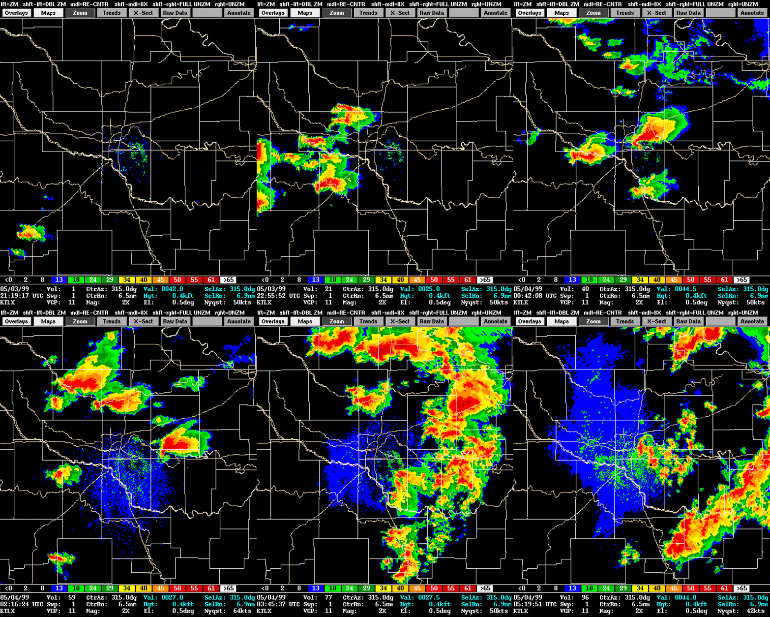
Select the links or images in the table below in order to access radar imagery for particular storms from the tornado outbreak on May 3, 1999. Images from the Twin Lakes, OK radar (KTLX) are available for "Storm A" and "Storm B". Images from the Terminal Doppler Weather Radar (TDWR) for the Will Rogers World Airport are also available for "Storm A" as it passed through the Oklahoma City metropolitan area.
| Storm A | Storm B | Terminal Doppler |
 |
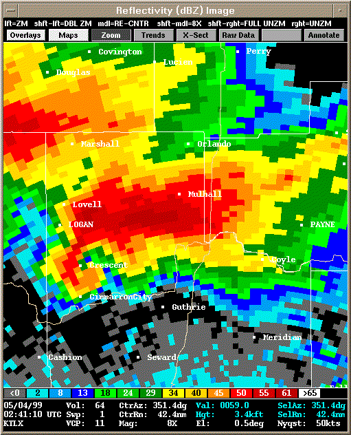 |
 |
| Reflectivity | Velocity |
|---|---|
| 2119Z | |
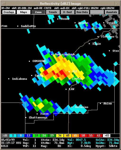 Reflectivity |
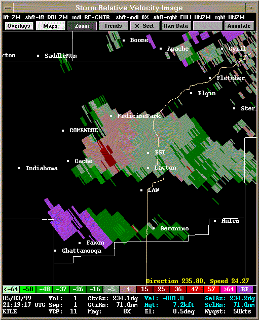 Storm Relative Velocity |
| 2124Z | |
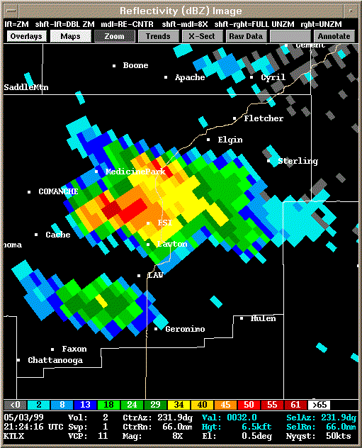 Reflectivity |
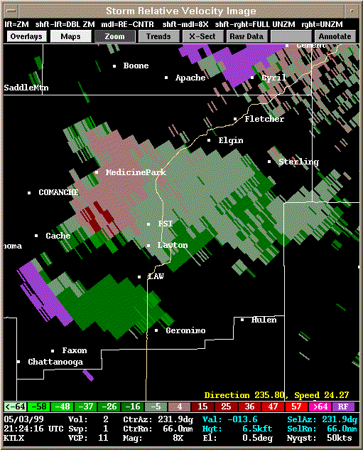 Storm Relative Velocity |
| 2129Z | |
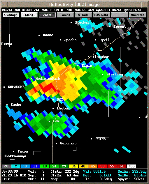 Reflectivity |
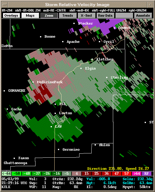 Storm Relative Velocity |
| 2134Z | |
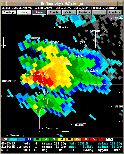 Reflectivity |
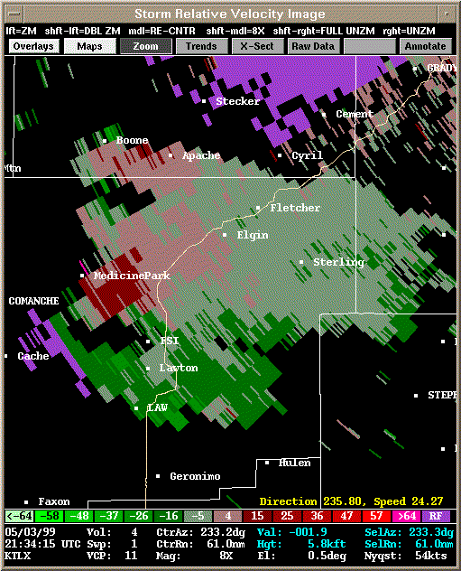 Storm Relative Velocity |
| 2139Z | |
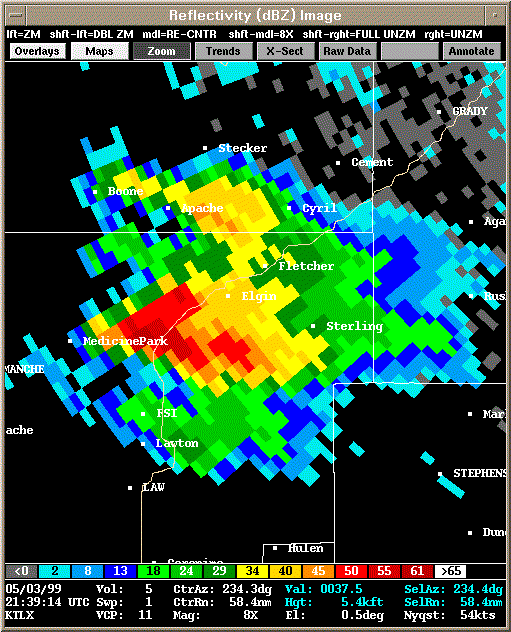 Reflectivity |
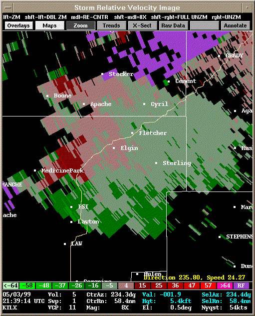 Storm Relative Velocity |
| 2144Z | |
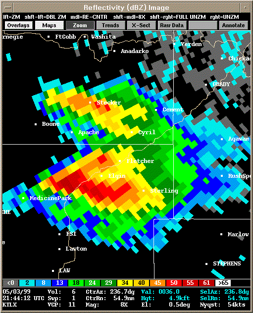 Reflectivity |
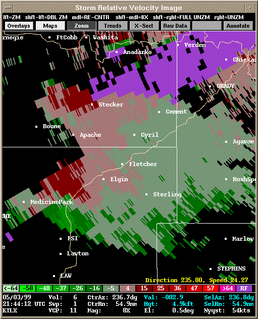 Storm Relative Velocity |
| 2149Z: About to produce tornado A1 | |
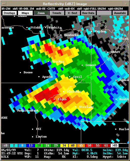 Reflectivity |
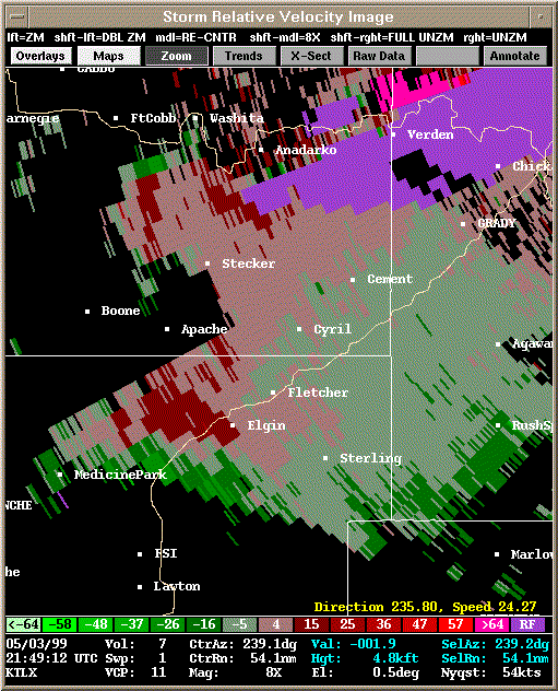 Storm Relative Velocity |
| 2154Z: Tornado A1 already dissipated, about to produce tornado A2 | |
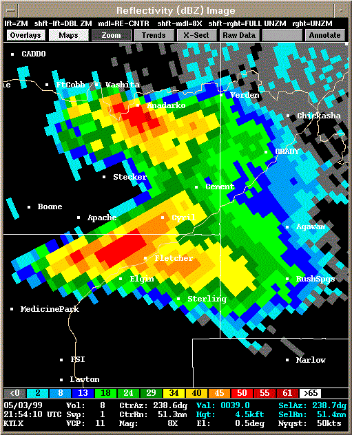 Reflectivity |
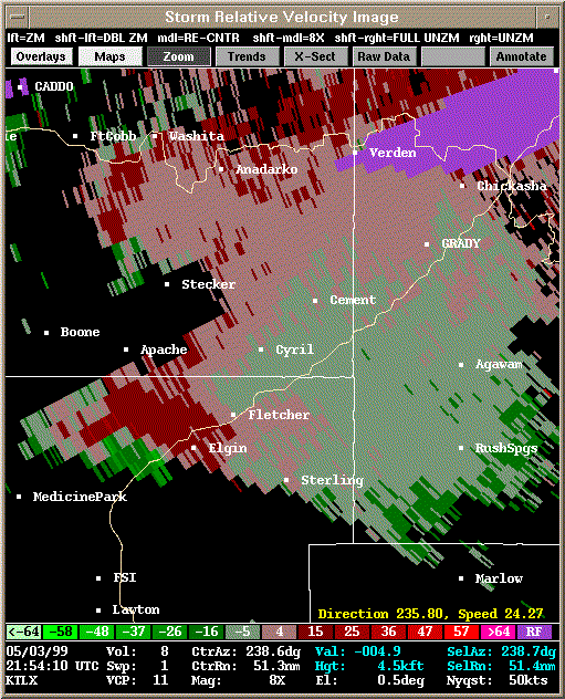 Storm Relative Velocity |
| 2159Z: Tornado A2 already dissipated | |
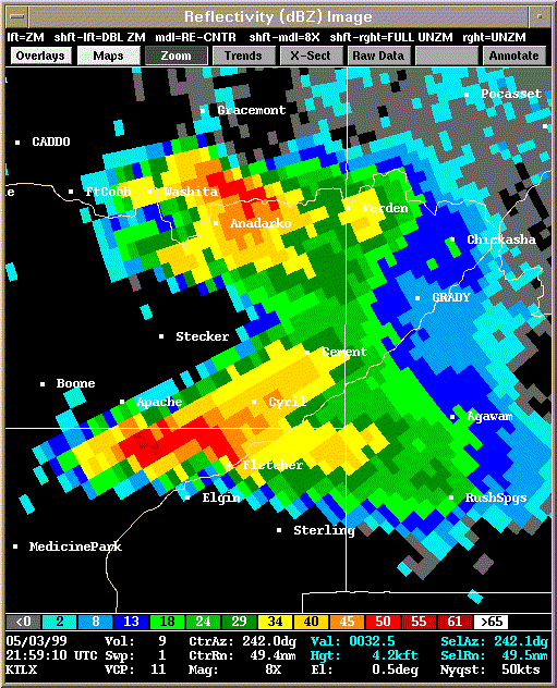 Reflectivity |
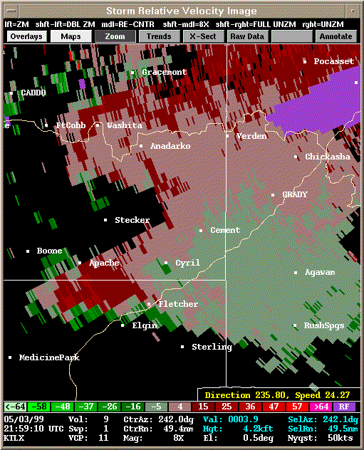 Storm Relative Velocity |
| 2204Z | |
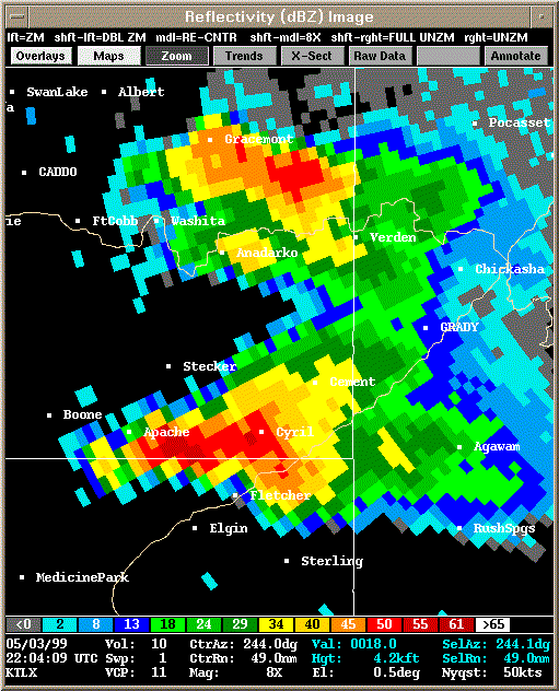 Reflectivity |
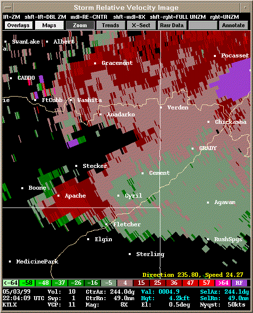 Storm Relative Velocity |
| 2209Z | |
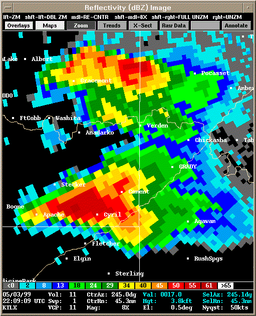 Reflectivity |
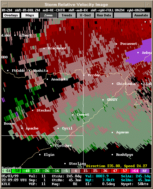 Storm Relative Velocity |
| 2214Z | |
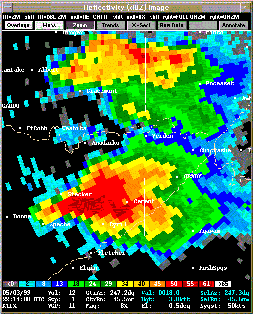 Reflectivity |
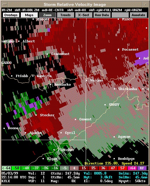 Storm Relative Velocity |
| 2219Z: About to produce tornado A3 | |
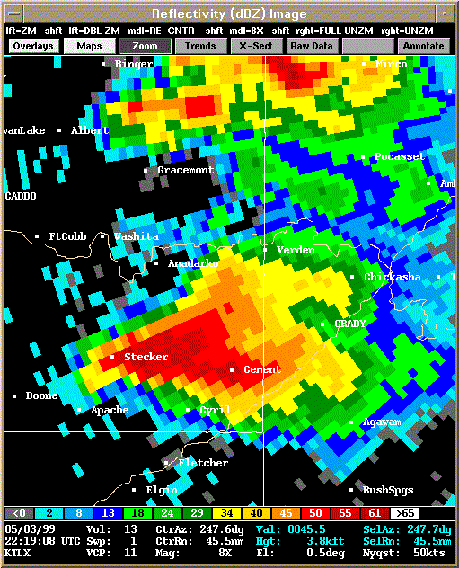 Reflectivity |
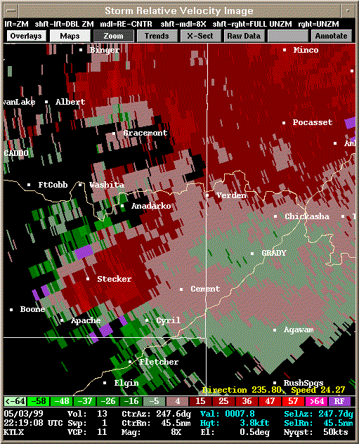 Storm Relative Velocity |
| 2224Z: Tornado A3 on the ground, weak satellite tornado A4 about to briefly touch down (2226Z) | |
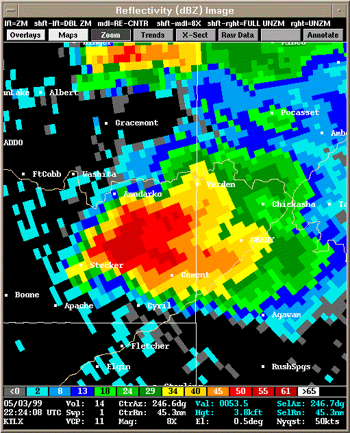 Reflectivity |
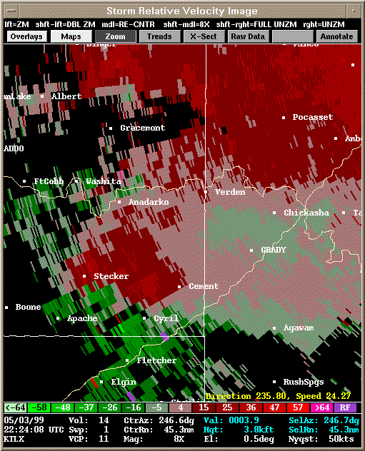 Storm Relative Velocity |
| 2229Z: Tornado A3 still on the ground | |
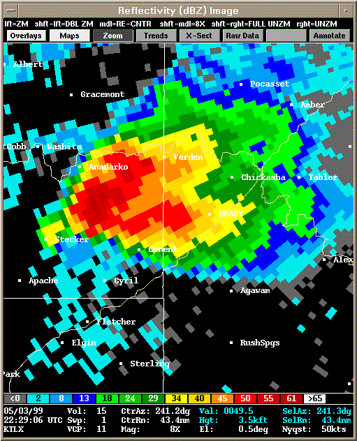 Reflectivity |
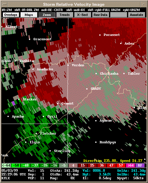 Storm Relative Velocity |
| 2234Z: Tornado A3 still on the ground | |
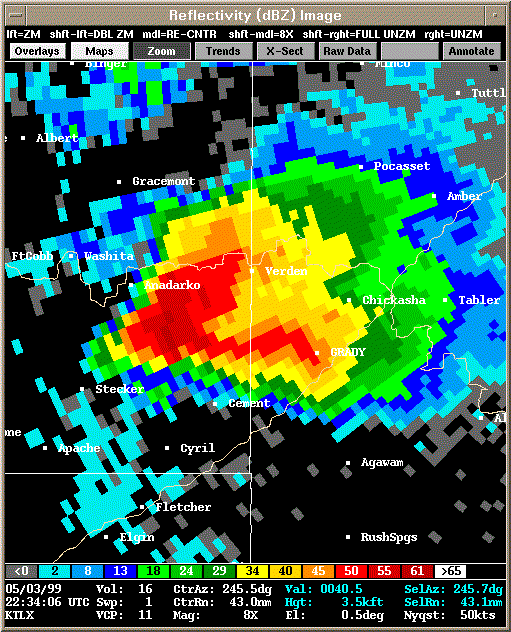 Reflectivity |
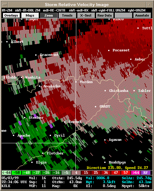 Storm Relative Velocity |
| 2239Z: Tornado A3 already dissipated (2235Z). Tornado A5 briefly touched down and lifted (2238Z) |
|
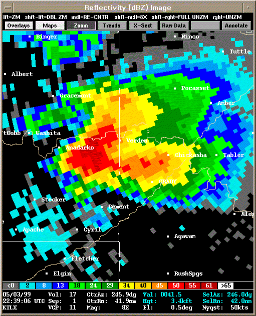 Reflectivity |
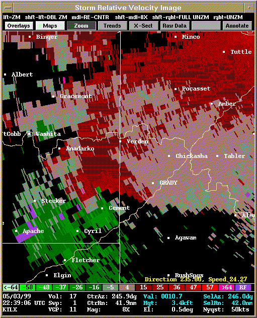 Storm Relative Velocity |
| 2245Z: About to produce tornado A6 | |
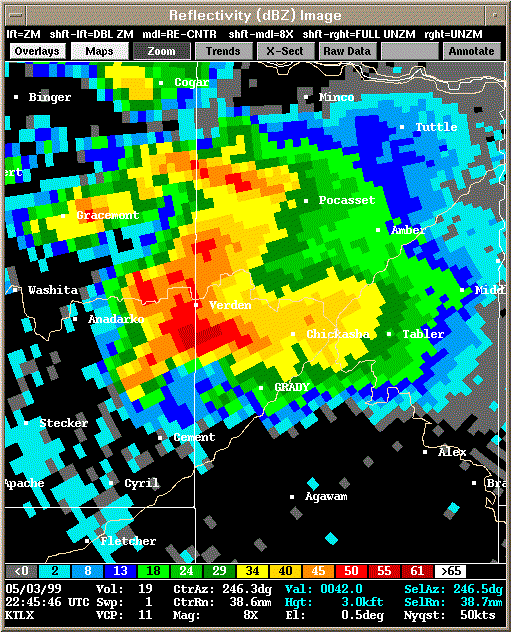 Reflectivity |
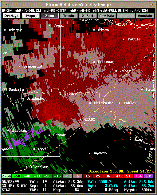 Storm Relative Velocity |
| 2250Z: Tornado A6 on the ground | |
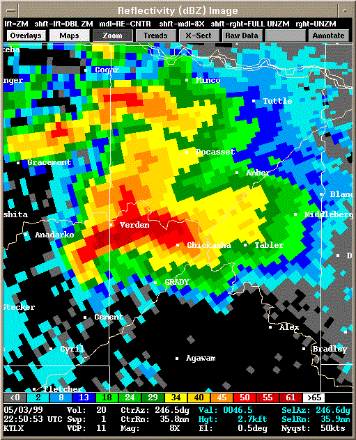 Reflectivity |
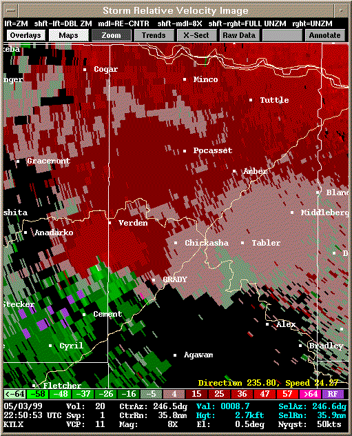 Storm Relative Velocity |
| 2255Z: Tornado A6 on the ground | |
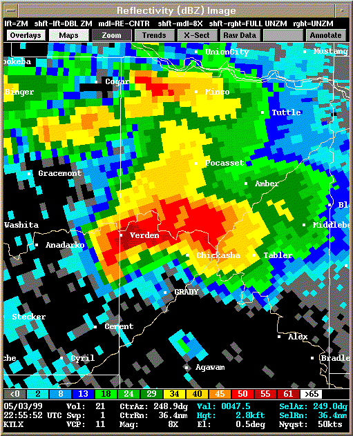 Reflectivity |
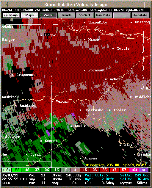 Storm Relative Velocity |
| 2321Z: Gap in data, storm has already finished producing tornadoes A6, A7, and A8... about to produce A9 - the F5 tornado |
|
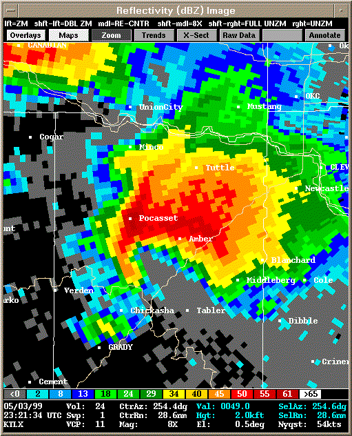 Reflectivity |
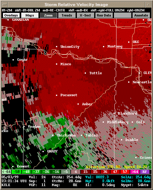 Storm Relative Velocity |
| 2326Z: Tornado A9 on the ground | |
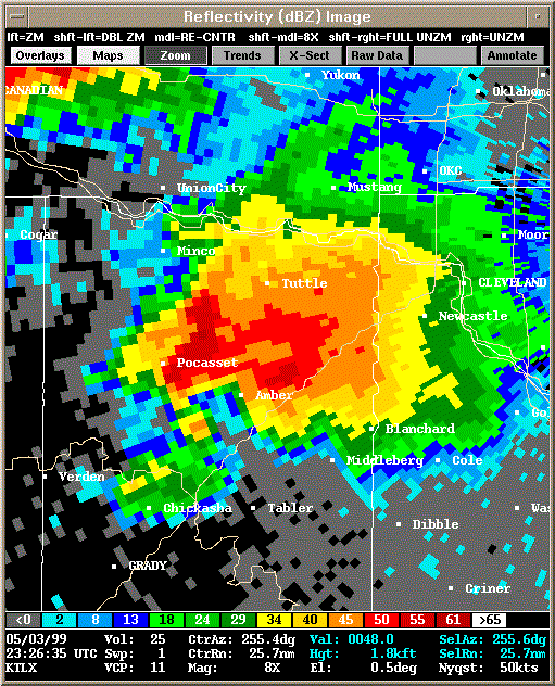 Reflectivity |
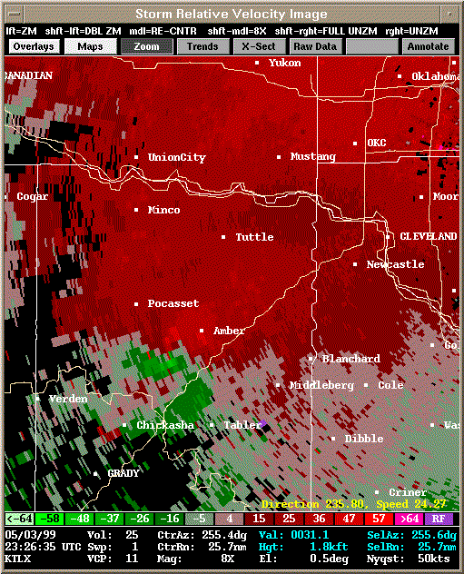 Storm Relative Velocity |
| 2331Z: Tornado A9 still on the ground | |
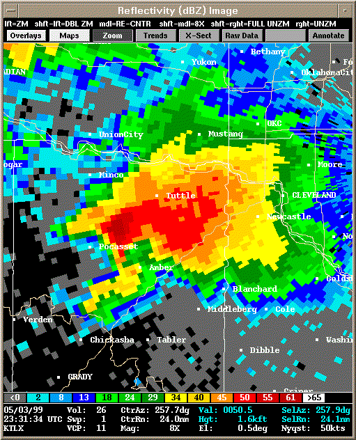 Reflectivity |
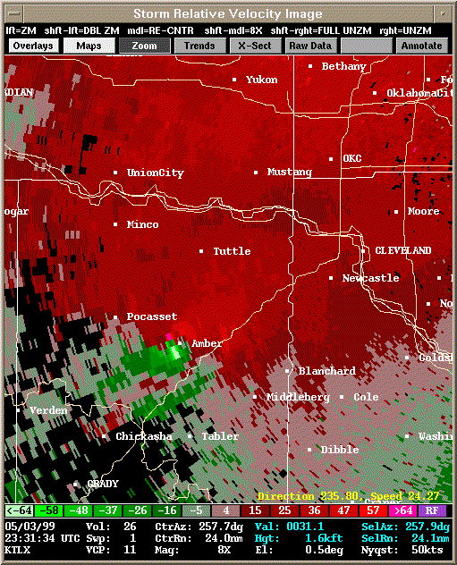 Storm Relative Velocity |
| 2336Z: Tornado A9 still on the ground | |
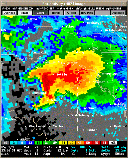 Reflectivity |
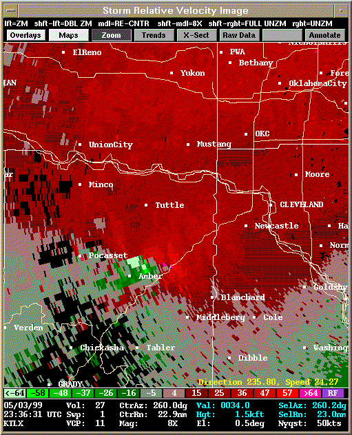 Storm Relative Velocity |
| 2341Z: Tornado A9 still on the ground | |
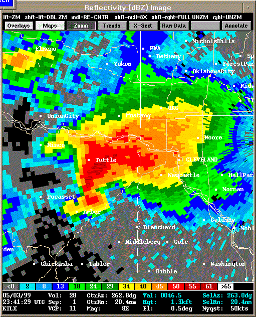 Reflectivity |
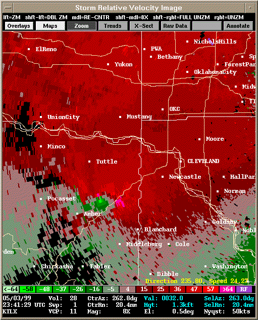 Storm Relative Velocity |
| 2346Z: Tornado A9 still on the ground | |
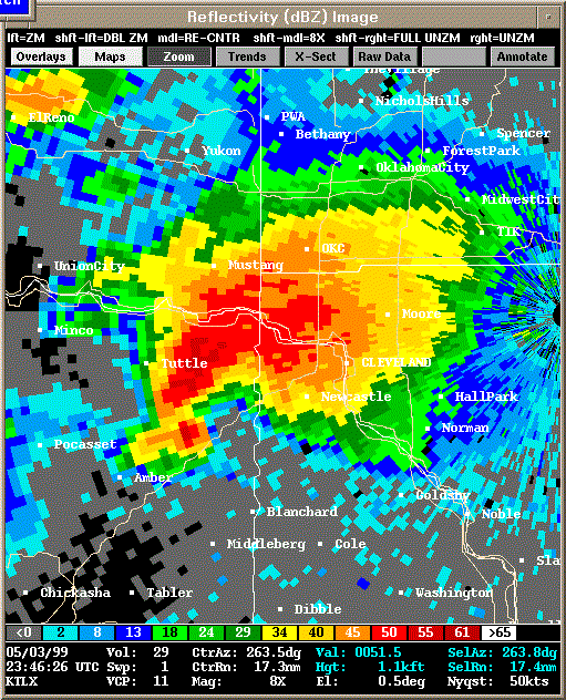 Reflectivity |
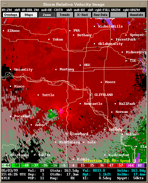 Storm Relative Velocity |
| 2351Z: Tornado A9 still on the ground | |
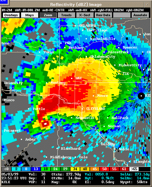 Reflectivity |
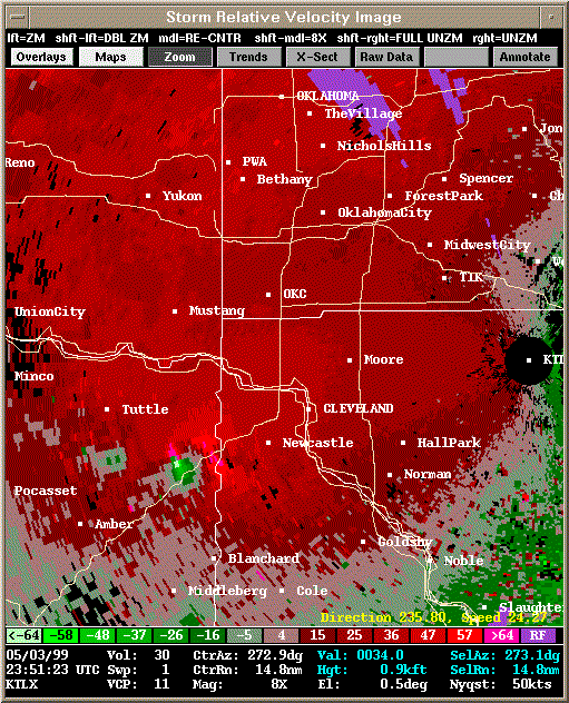 Storm Relative Velocity |
| 2356Z: Tornado A9 still on the ground, impacting Bridge Creek area | |
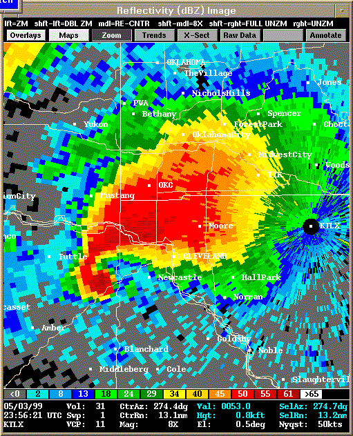 Reflectivity |
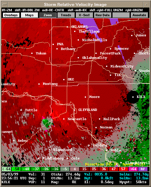 Storm Relative Velocity |
| 0002Z: Tornado A9 still on the ground, impacting Bridge Creek area | |
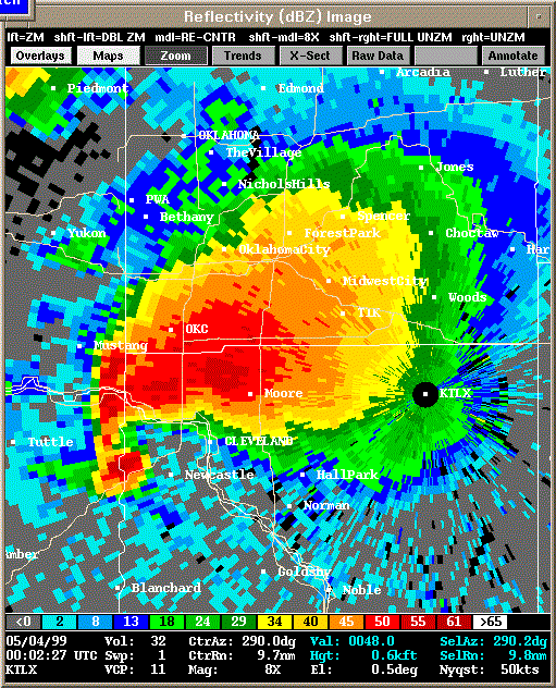 Reflectivity |
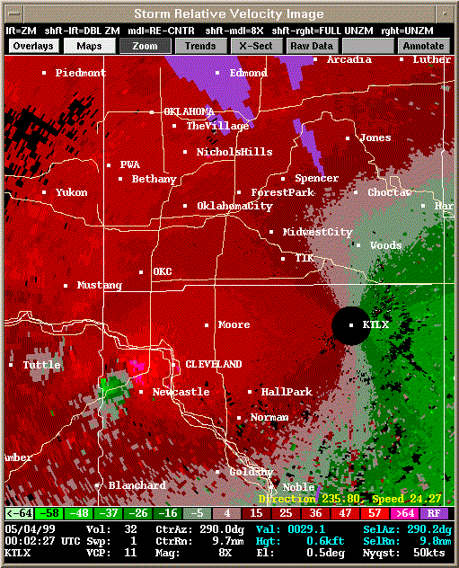 Storm Relative Velocity |
| 0007Z: Tornado A9 still on the ground, impacting Newcastle area | |
 Reflectivity |
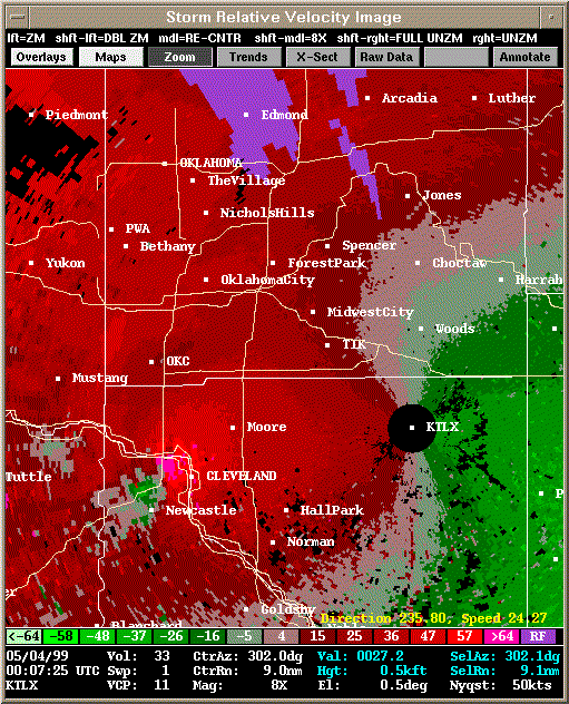 Storm Relative Velocity |
| 0012Z: Tornado A9 still on the ground, satellite tornado A10 briefly touched down at 0010Z |
|
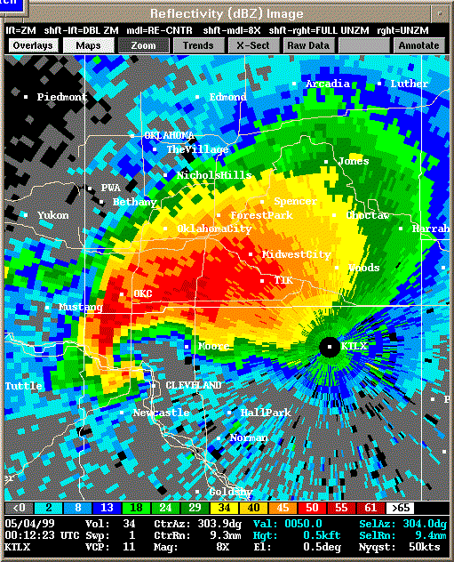 Reflectivity |
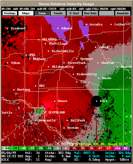 Storm Relative Velocity |
| 0017Z: Tornado A9 still on the ground, impacting Moore area | |
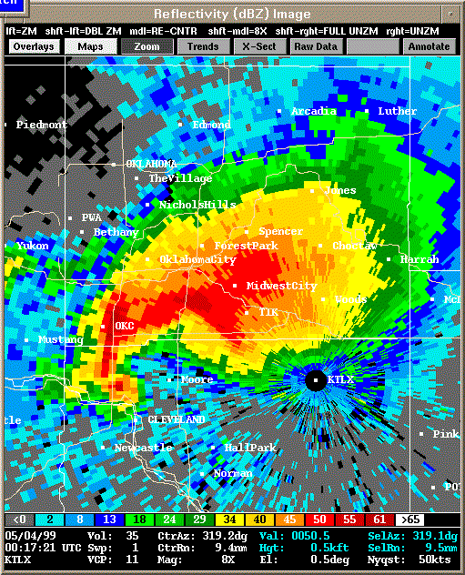 Reflectivity |
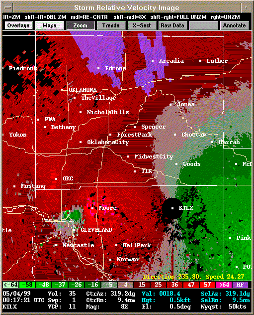 Storm Relative Velocity |
| 0022Z: Tornado A9 still on the ground, impacting Moore area | |
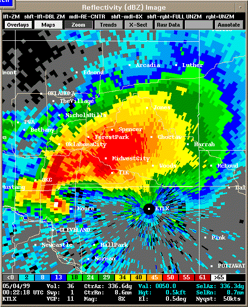 Reflectivity |
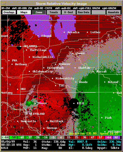 Storm Relative Velocity |
| 0027Z: Tornado A9 still on the ground, impacting Moore area | |
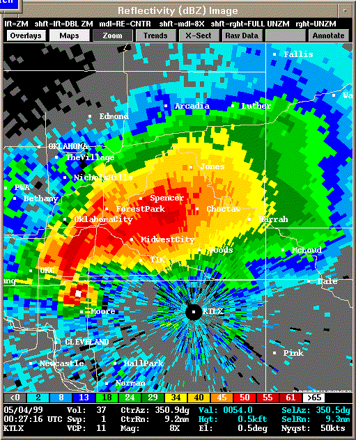 Reflectivity |
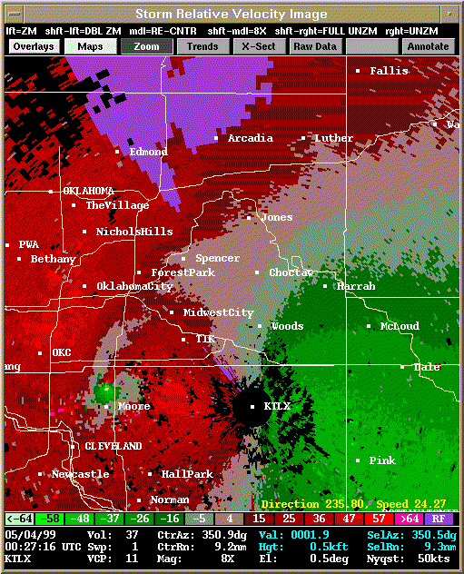 Storm Relative Velocity |
| 0032Z: Tornado A9 still on the ground, satellite tornado A11 touches down briefly (0031-0032Z) in south Oklahoma City |
|
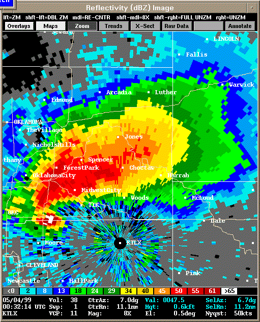 Reflectivity |
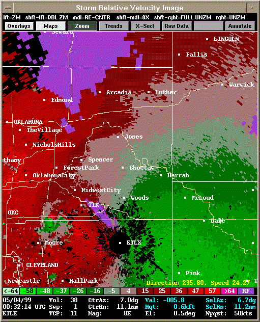 Storm Relative Velocity |
| 0037Z: Tornado A9 still on the ground, impacting Del City area | |
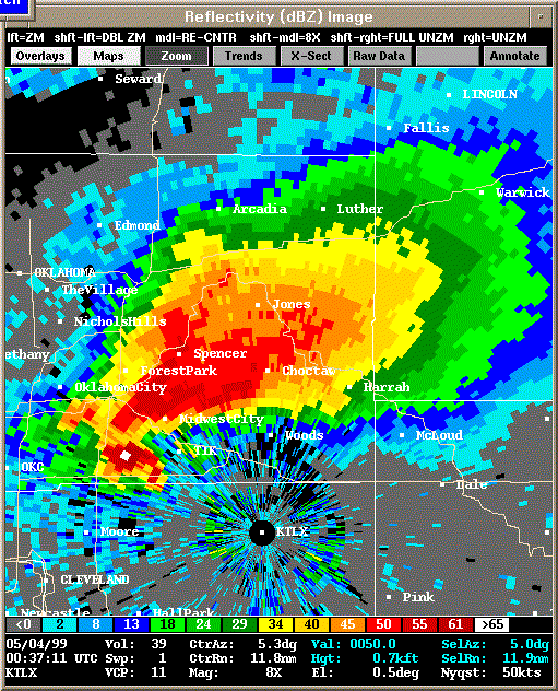 Reflectivity |
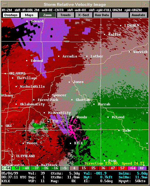 Storm Relative Velocity |
| 0042Z: Tornado A9 still on the ground, impacting Midwest City area | |
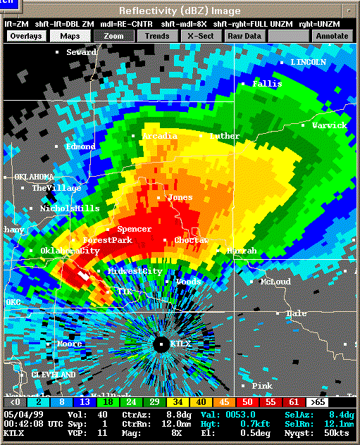 Reflectivity |
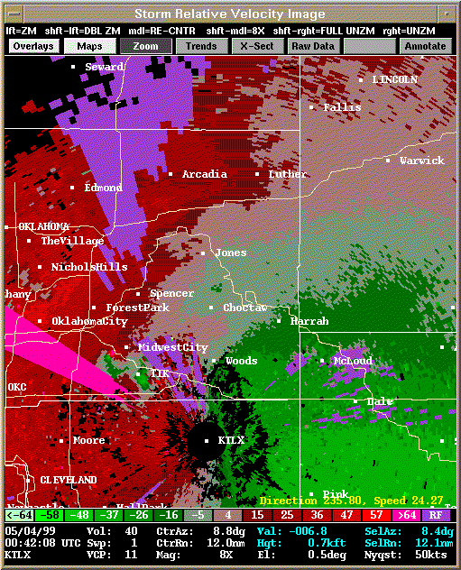 Storm Relative Velocity |
| 0047Z: Tornado A9 about to dissipate in Midwest City | |
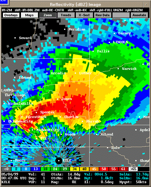 Reflectivity |
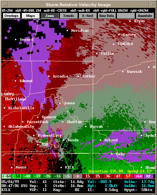 Storm Relative Velocity |
| 0052Z: Tornado A9 already dissipated (0048Z), Tornado A12 about to form (0053Z) | |
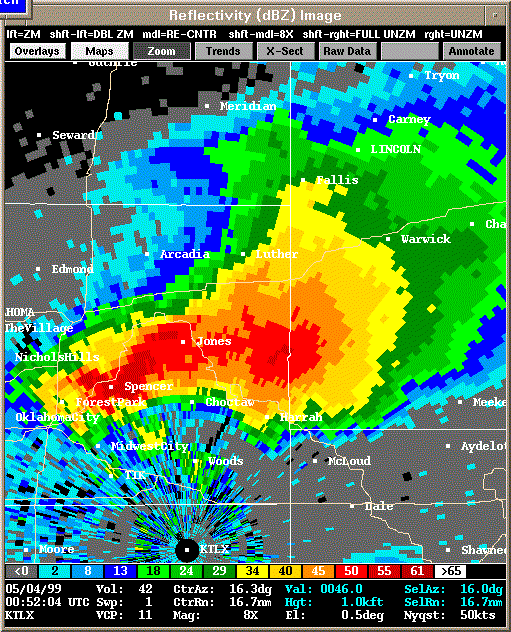 Reflectivity |
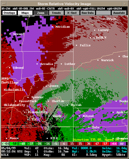 Storm Relative Velocity |
| 0057Z: Tornado A12 on the ground | |
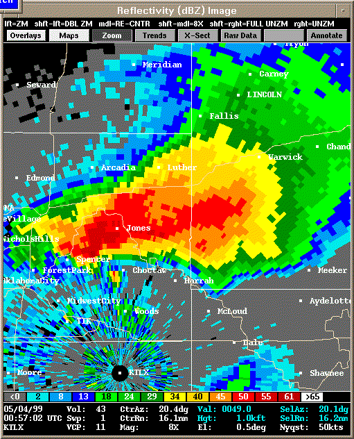 Reflectivity |
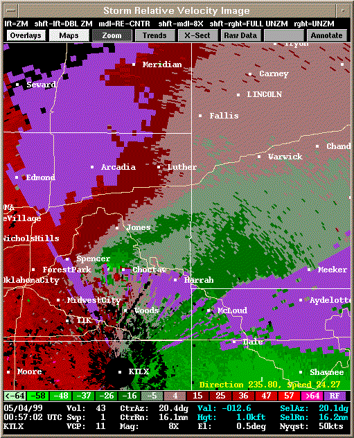 Storm Relative Velocity |
| 0102Z: Tornado A12 still on the ground | |
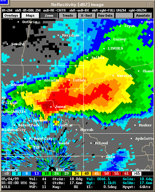 Reflectivity |
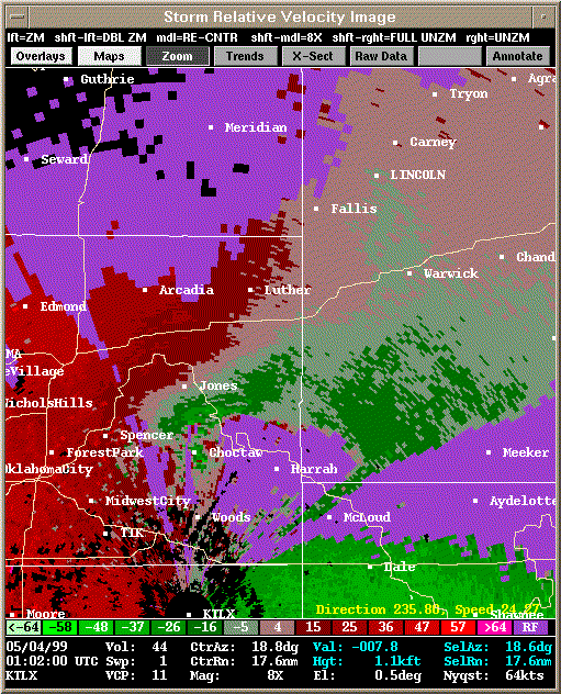 Storm Relative Velocity |
| 0106Z: Tornado A12 about to dissipate (0107Z) | |
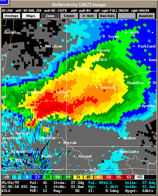 Reflectivity |
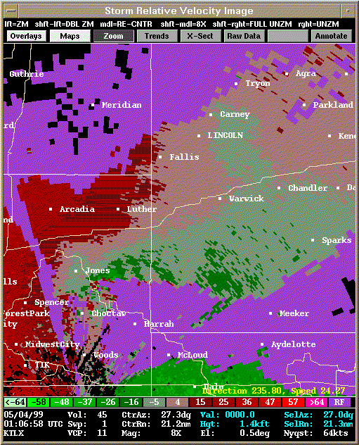 Storm Relative Velocity |
| 0111Z: Tornado A13 already formed (0109Z), still on the ground | |
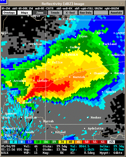 Reflectivity |
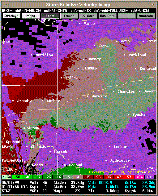 Storm Relative Velocity |
| 0116Z: Tornado A13 just dissipated (0115Z) | |
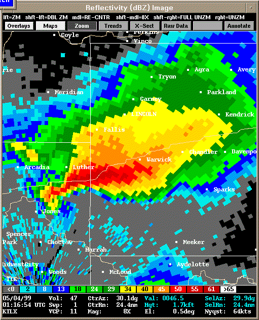 Reflectivity |
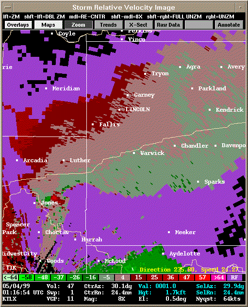 Storm Relative Velocity |
| 0116Z: Tornado A13 just dissipated (0115Z), Tornado A14 about to form (0117Z) | |
 Reflectivity |
 Storm Relative Velocity |
| 0121Z: Tornado A14 on the ground | |
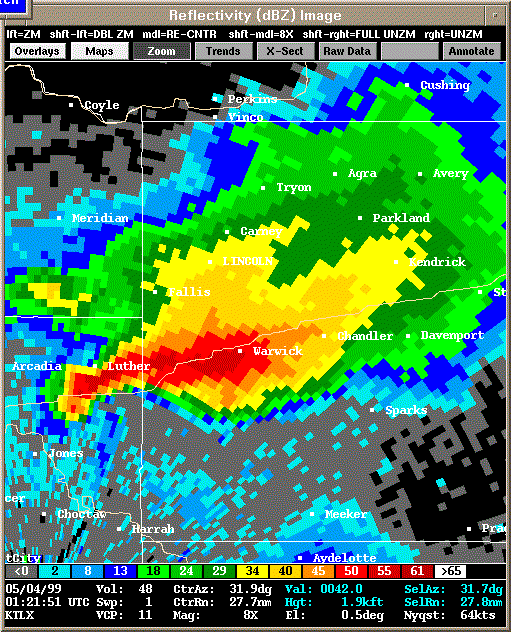 Reflectivity |
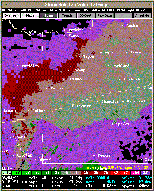 Storm Relative Velocity |
| 0126Z: Tornado A14 just dissipated (0125Z) | |
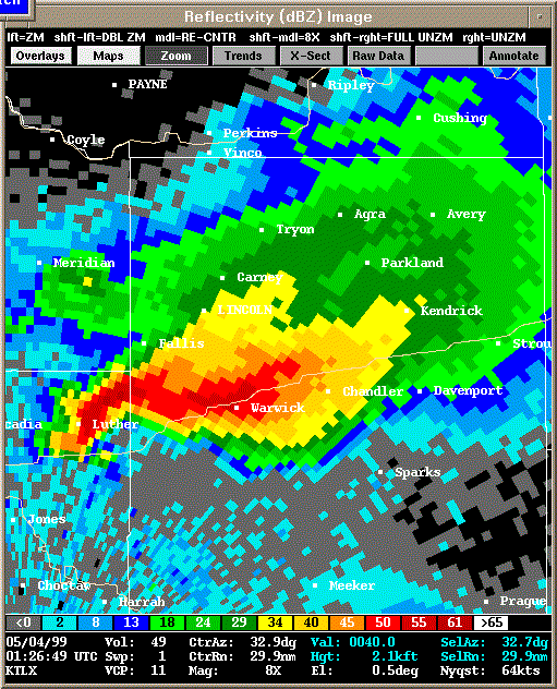 Reflectivity |
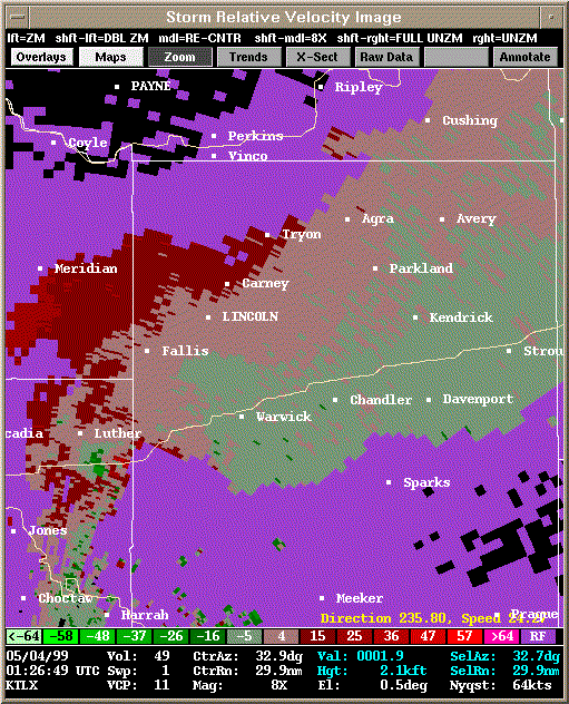 Storm Relative Velocity |
| 0131Z | |
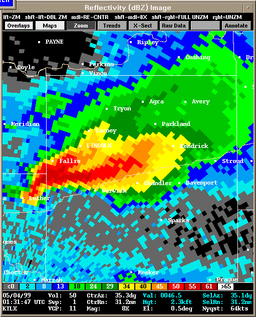 Reflectivity |
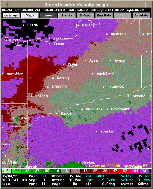 Storm Relative Velocity |
| 0136Z | |
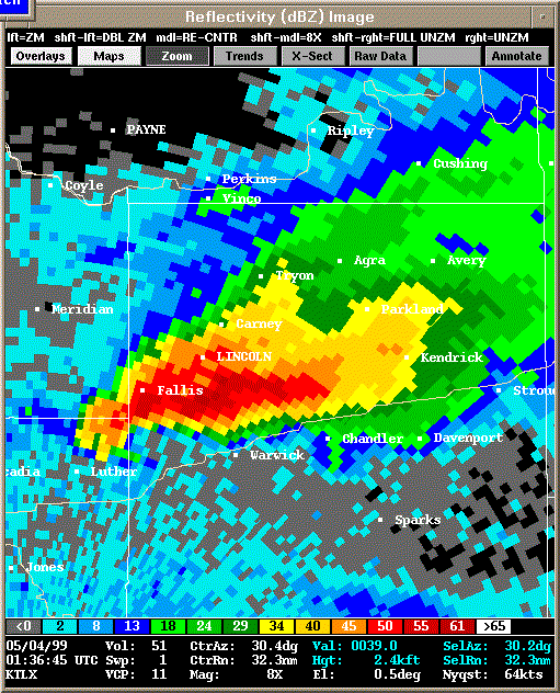 Reflectivity |
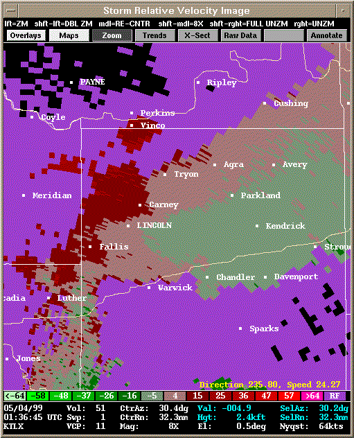 Storm Relative Velocity |
| 0141Z | |
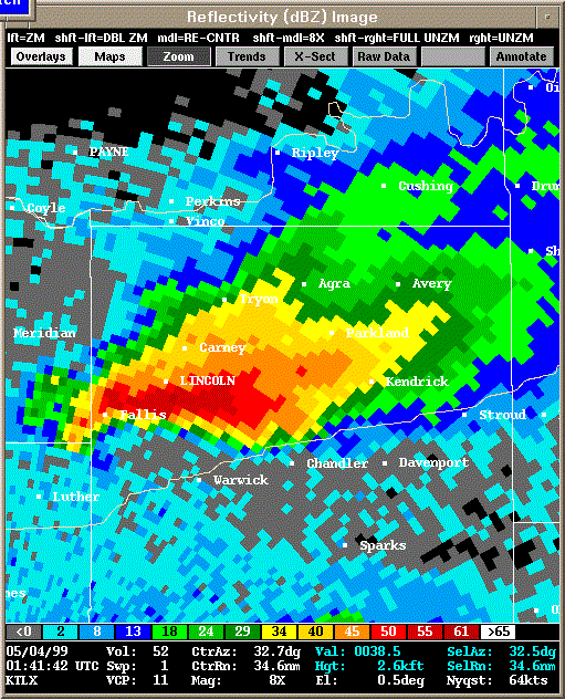 Reflectivity |
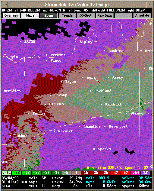 Storm Relative Velocity |
| 0146Z | |
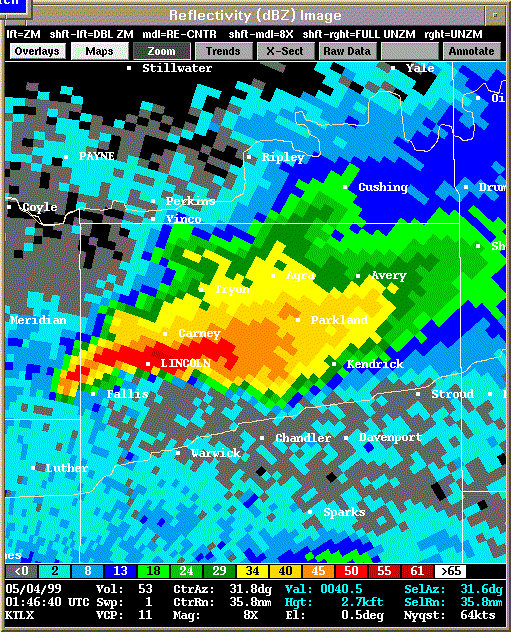 Reflectivity |
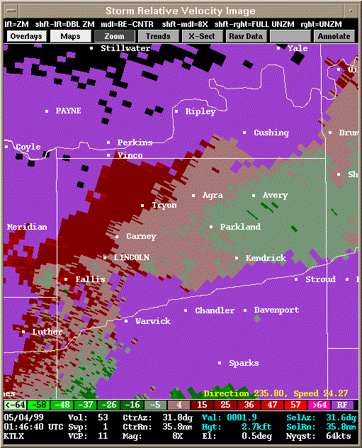 Storm Relative Velocity |
| 0151Z | |
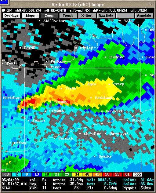 Reflectivity |
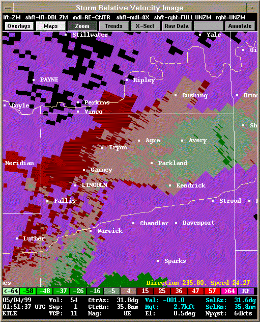 Storm Relative Velocity |
| 0156Z | |
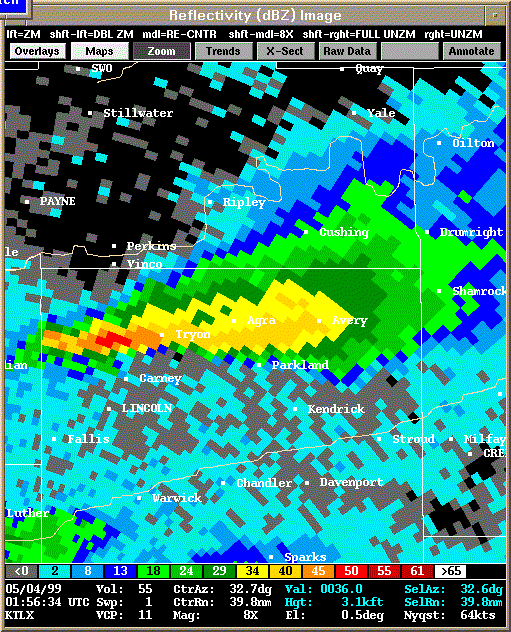 Reflectivity |
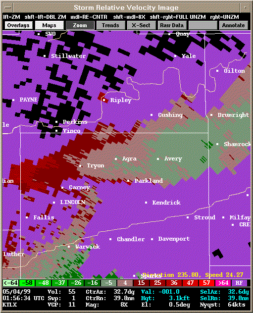 Storm Relative Velocity |
| 0201Z | |
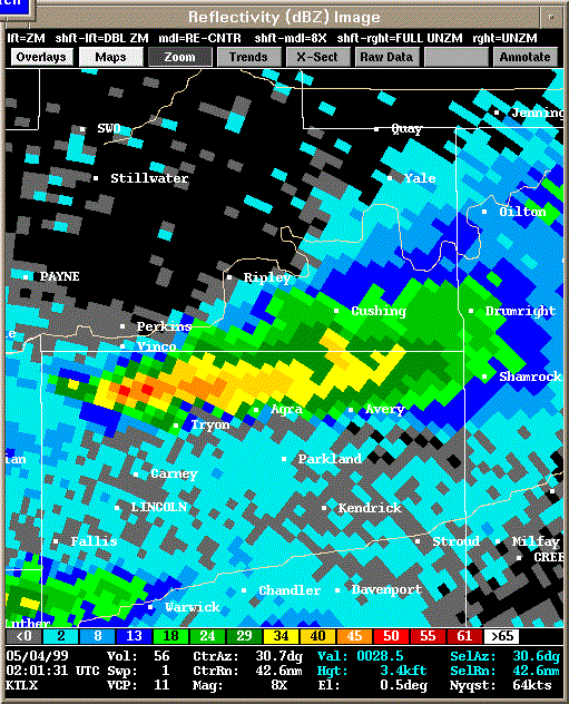 Reflectivity |
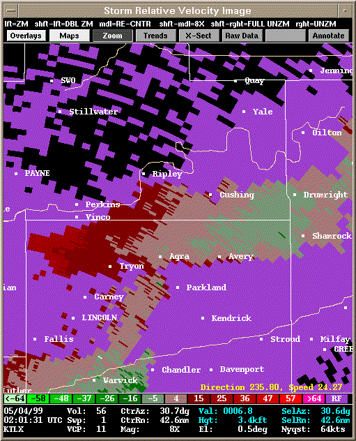 Storm Relative Velocity |
| Reflectivity | Storm Relative Velocity |
|---|---|
| 2129Z | |
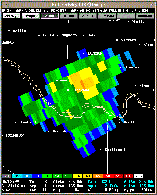 Reflectivity |
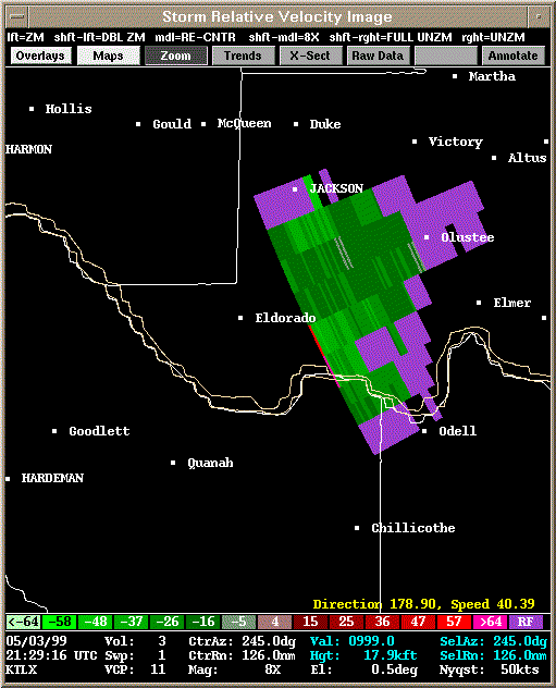 Storm Relative Velocity |
| 2134Z | |
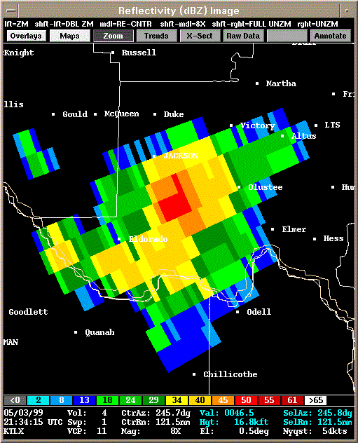 Reflectivity |
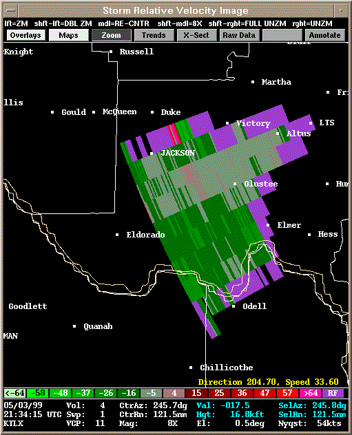 Storm Relative Velocity |
| 2139Z | |
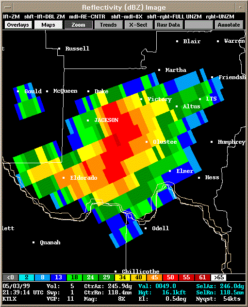 Reflectivity |
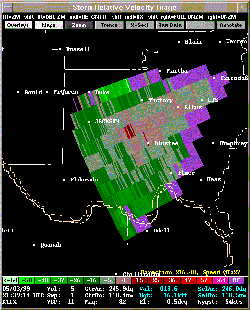 Storm Relative Velocity |
| 2144Z | |
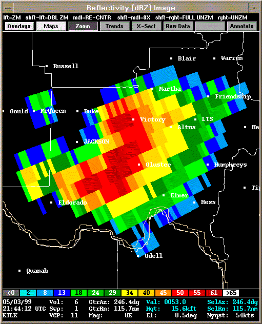 Reflectivity |
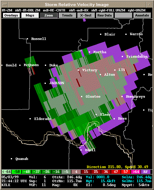 Storm Relative Velocity |
| 2149Z | |
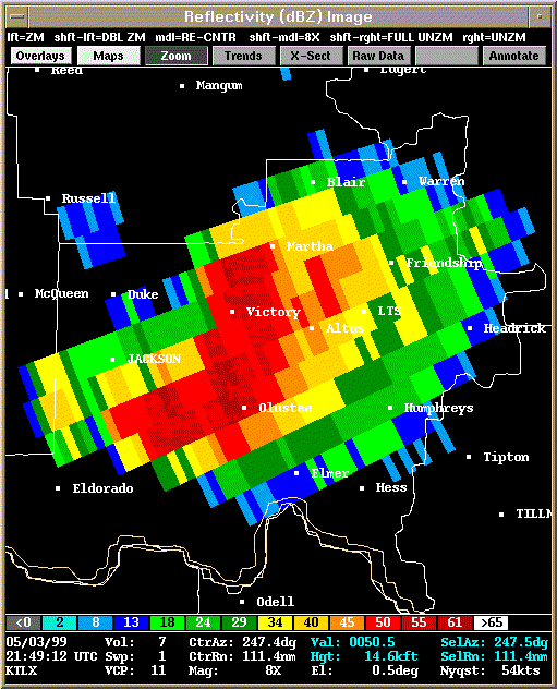 Reflectivity |
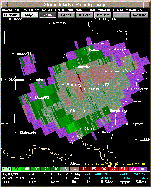 Storm Relative Velocity |
| 2154Z | |
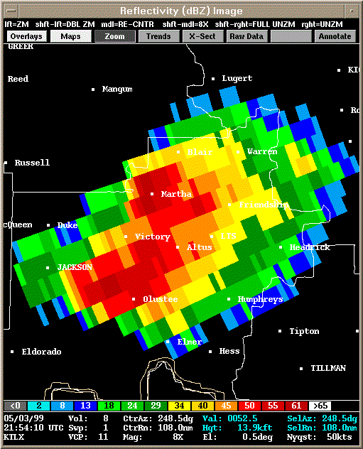 Reflectivity |
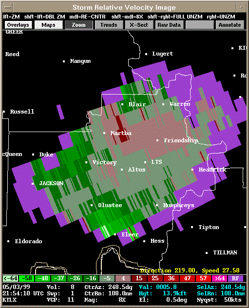 Storm Relative Velocity |
| 2159Z | |
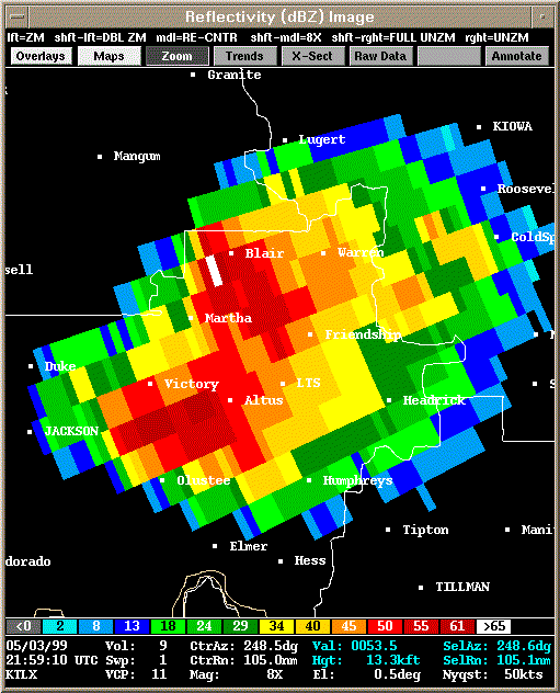 Reflectivity |
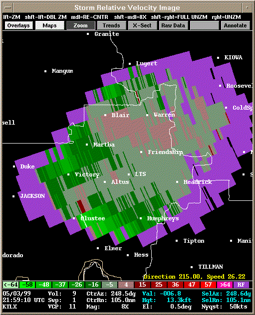 Storm Relative Velocity |
| 2204Z | |
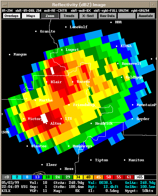 Reflectivity |
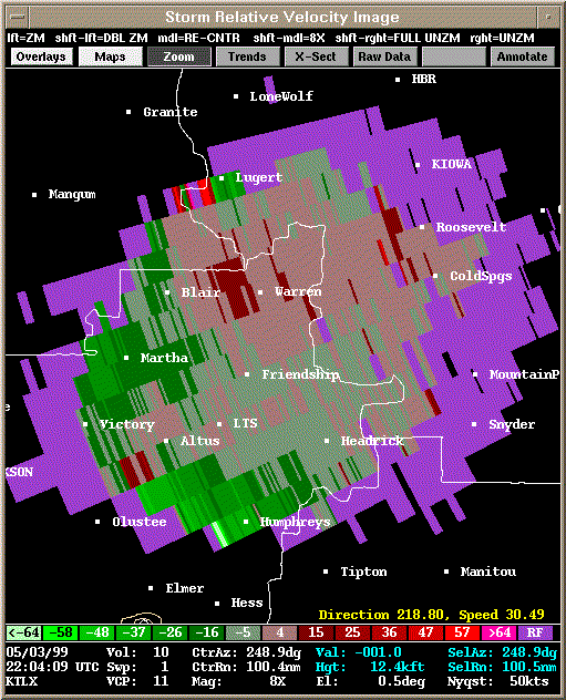 Storm Relative Velocity |
| 2209Z | |
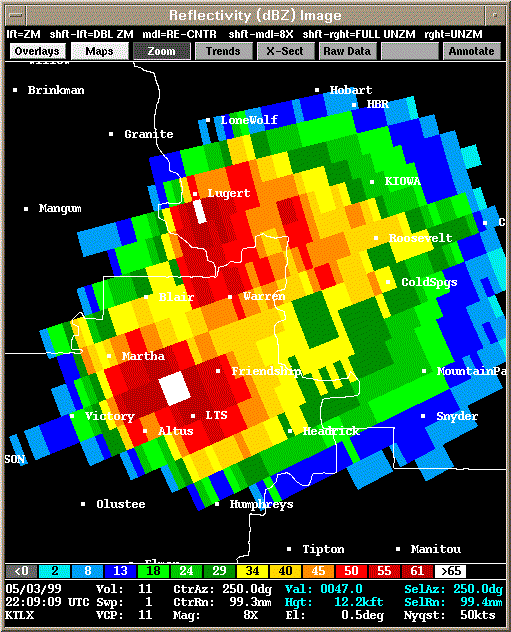 Reflectivity |
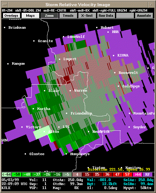 Storm Relative Velocity |
| 2214Z | |
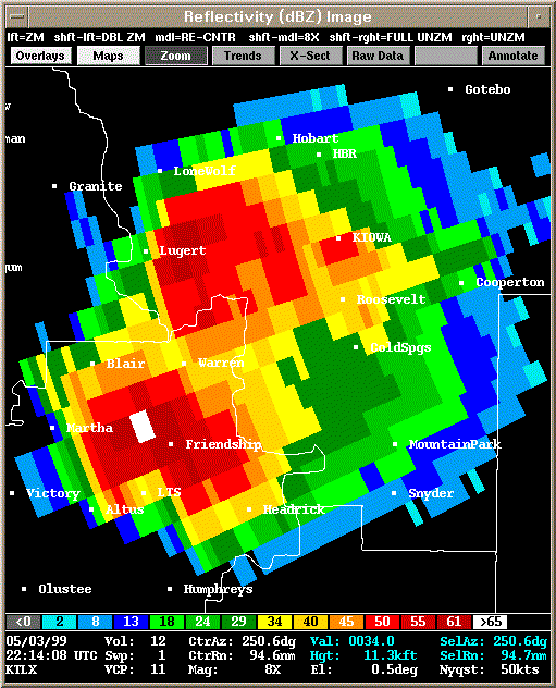 Reflectivity |
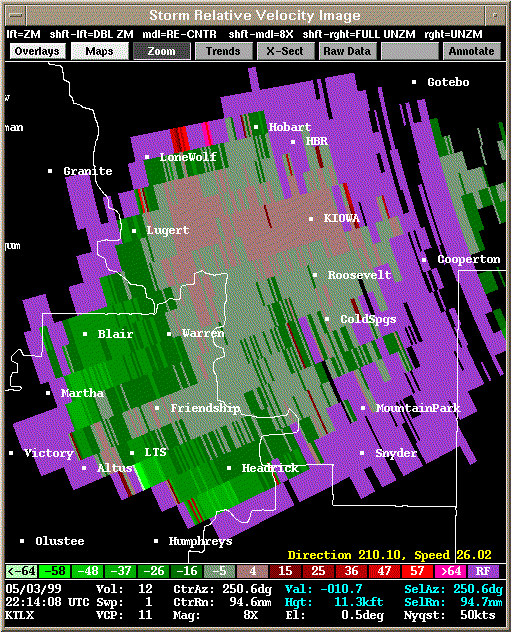 Storm Relative Velocity |
| 2219Z | |
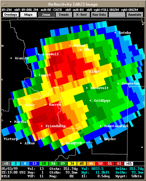 Reflectivity |
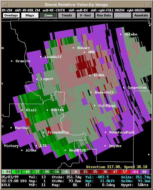 Storm Relative Velocity |
| 2224Z | |
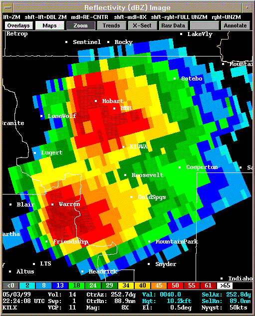 Reflectivity |
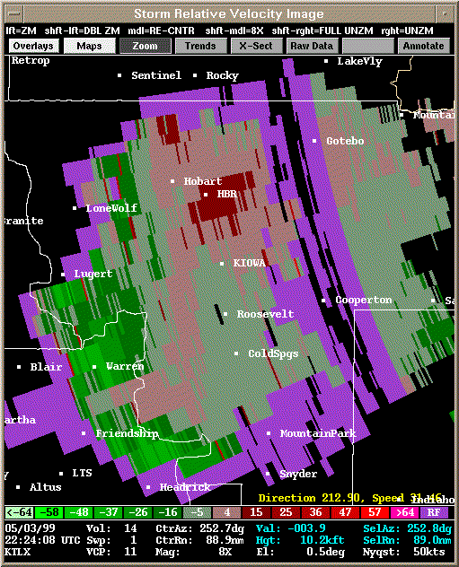 Storm Relative Velocity |
| 2229Z | |
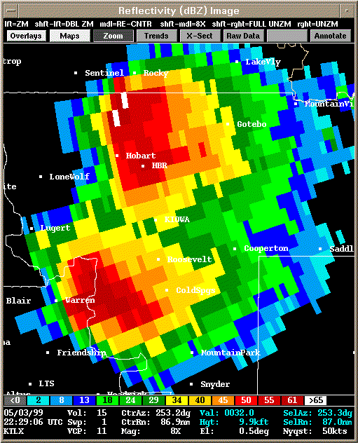 Reflectivity |
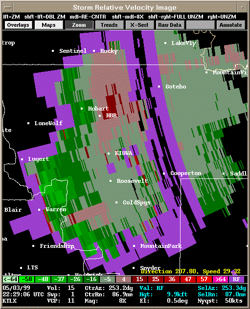 Storm Relative Velocity |
| 2234Z: About to produce tornado B1 (2236Z) - brief spin up | |
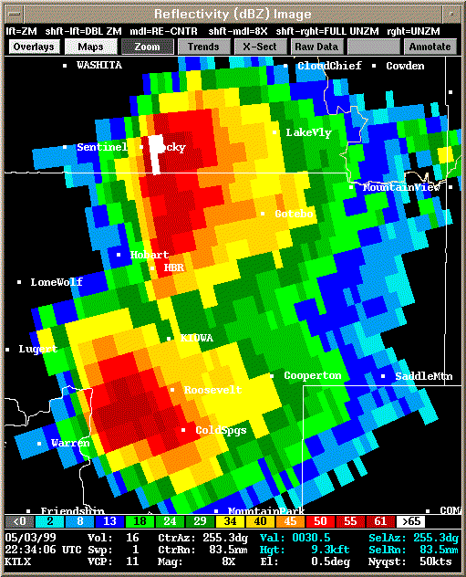 Reflectivity |
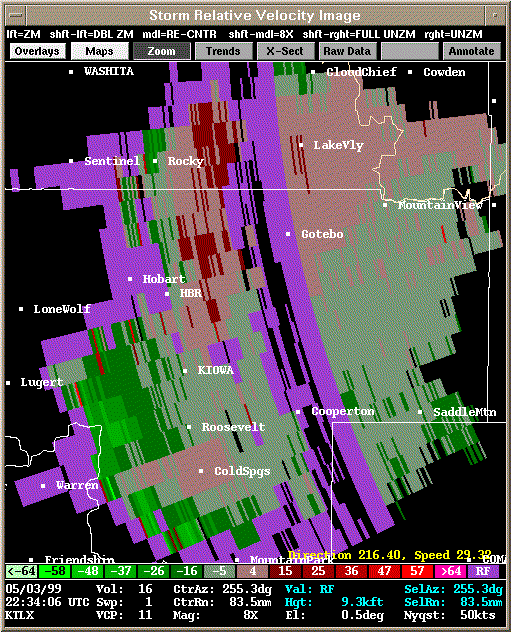 Storm Relative Velocity |
| 2239Z | |
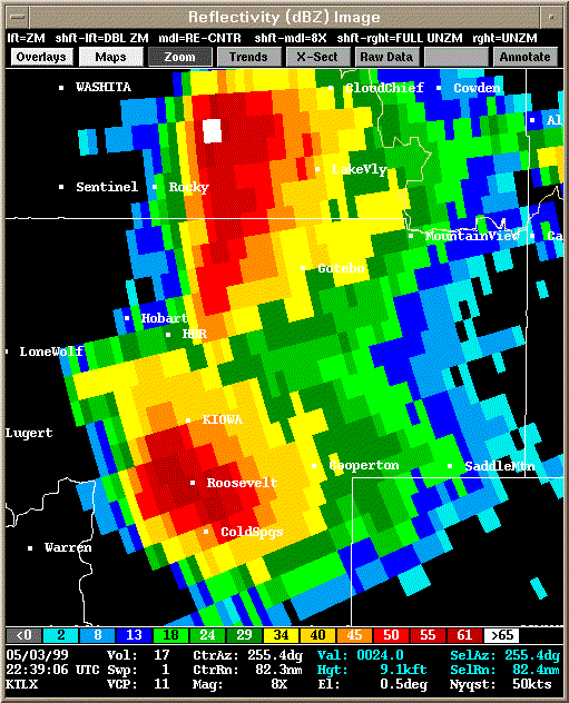 Reflectivity |
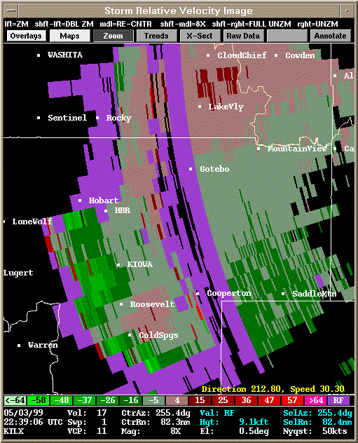 Storm Relative Velocity |
| 2245Z | |
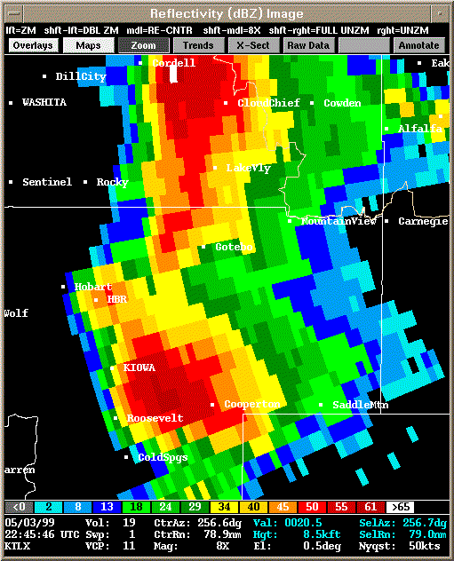 Reflectivity |
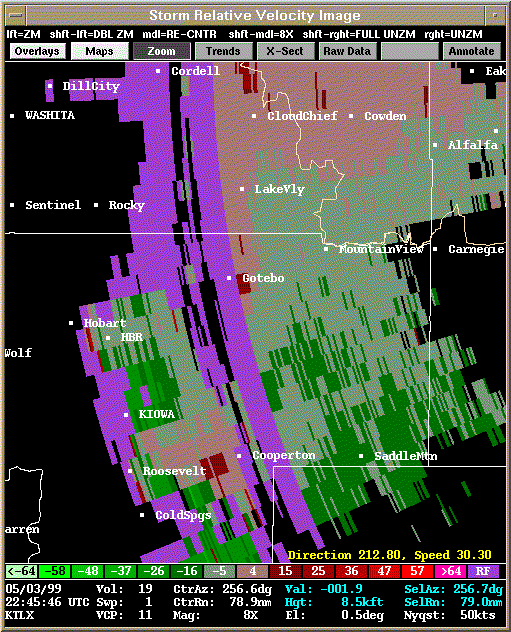 Storm Relative Velocity |
| 2250Z | |
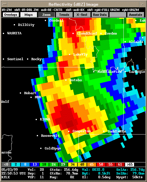 Reflectivity |
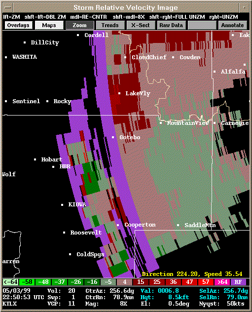 Storm Relative Velocity |
| 2255Z | |
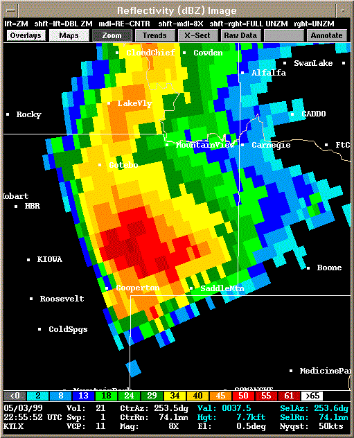 Reflectivity |
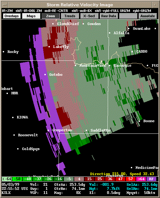 Storm Relative Velocity |
| 2300Z | |
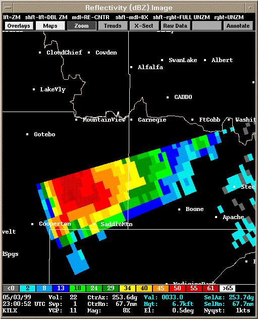 Reflectivity |
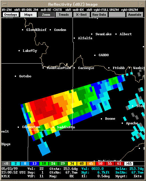 Storm Relative Velocity |
| 2321Z: Tornado B2 on the ground. | |
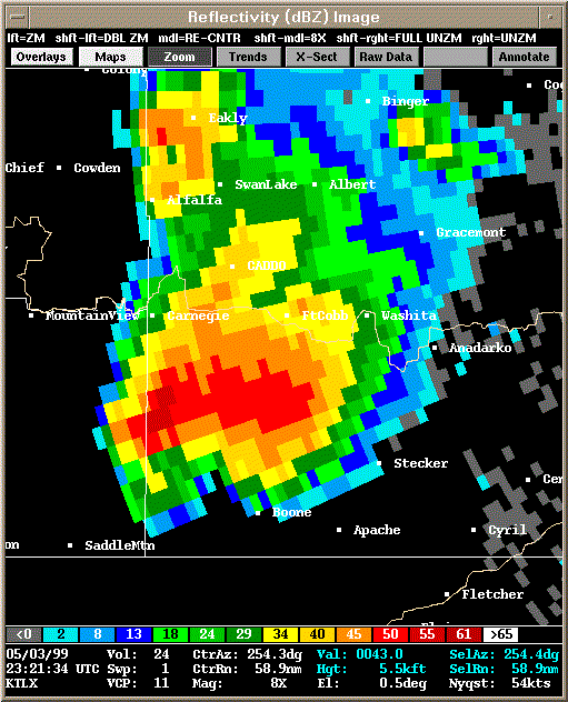 Reflectivity |
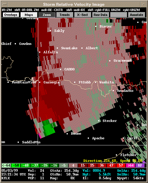 Storm Relative Velocity |
| 2326Z: Tornado B2 dissipated at 2324Z. | |
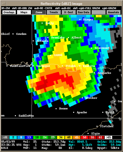 Reflectivity |
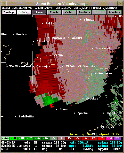 Storm Relative Velocity |
| 2331Z | |
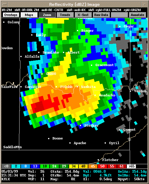 Reflectivity |
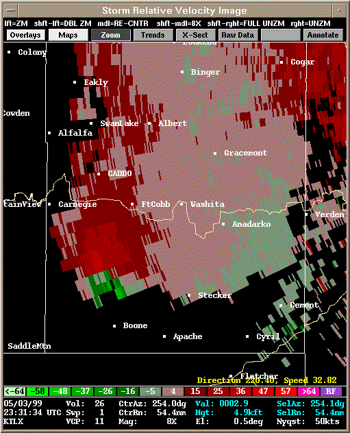 Storm Relative Velocity |
| 2336Z: Tornado B3 about to develop (2338Z) | |
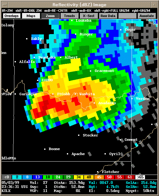 Reflectivity |
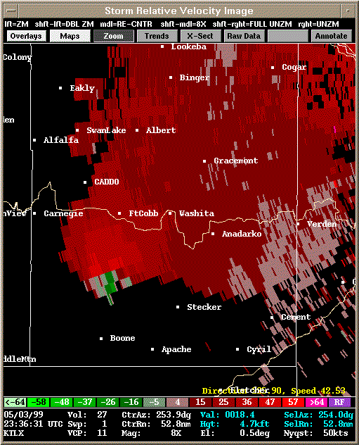 Storm Relative Velocity |
| 2341Z: Tornado B3 on the ground. | |
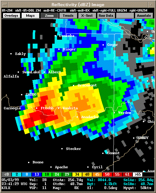 Reflectivity |
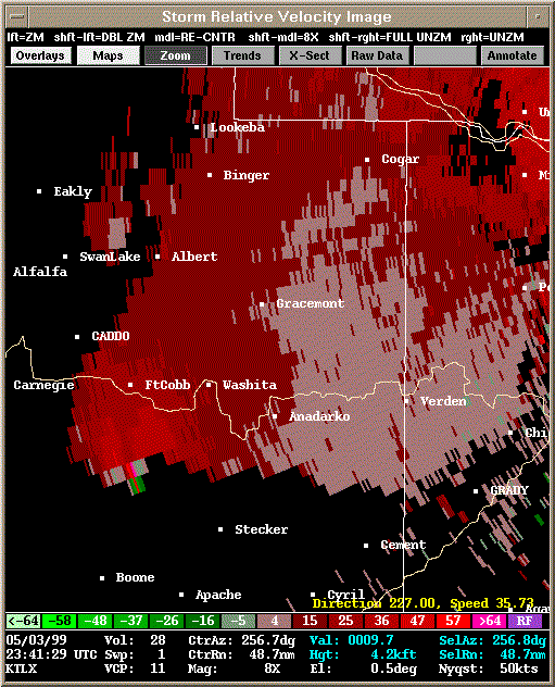 Storm Relative Velocity |
| 2346Z: Tornado B3 still on the ground. | |
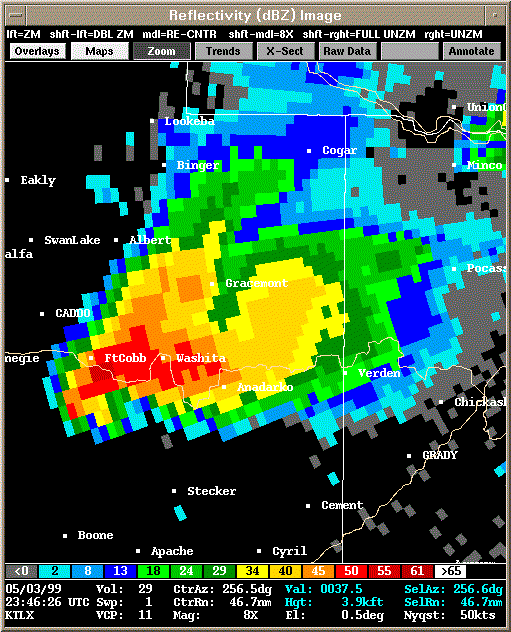 Reflectivity |
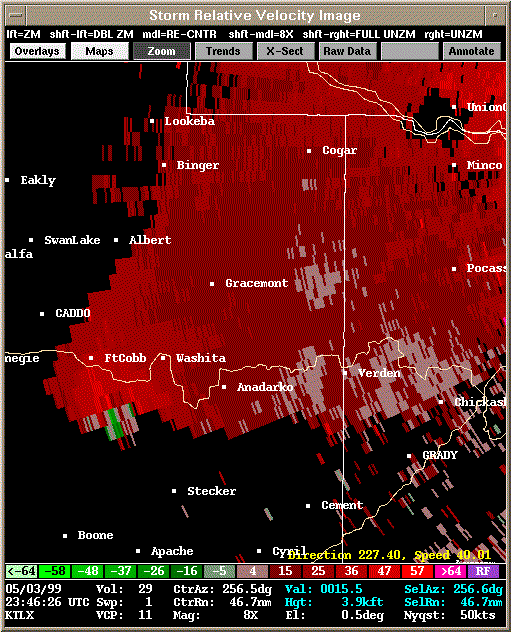 Storm Relative Velocity |
| 2351Z: Tornado B3 still on the ground. | |
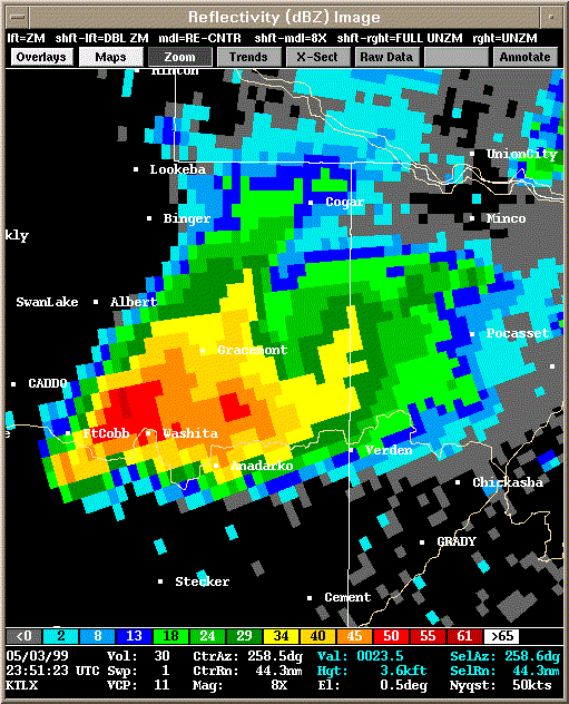 Reflectivity |
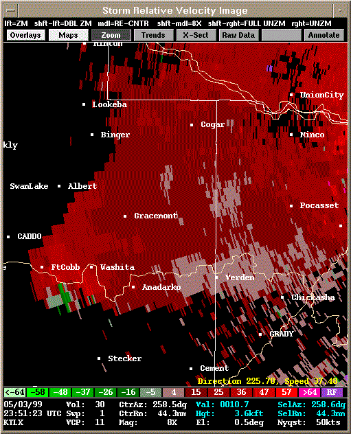 Storm Relative Velocity |
| 2356Z: Tornado B3 about to dissipate; satellite tornado B4 forms briefly. | |
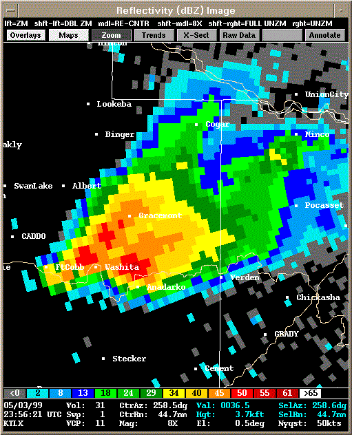 Reflectivity |
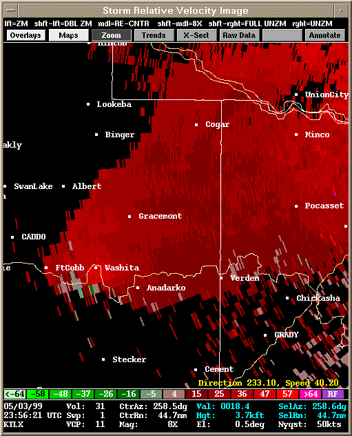 Storm Relative Velocity |
| 0002Z | |
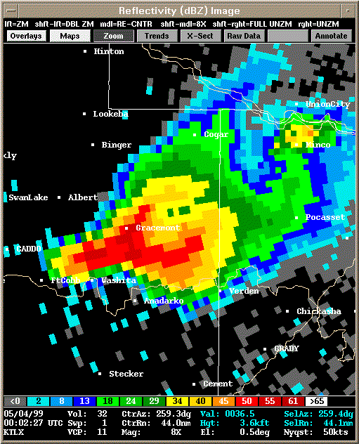 Reflectivity |
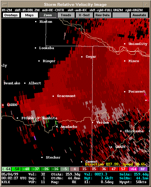 Storm Relative Velocity |
| 0007Z | |
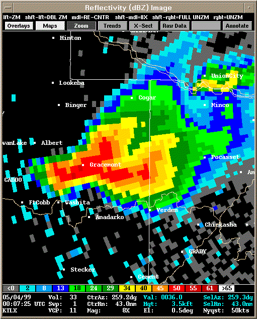 Reflectivity |
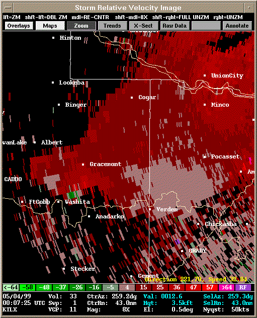 Storm Relative Velocity |
| 0012Z: Tornado B5 quickly forms and then dissipates. | |
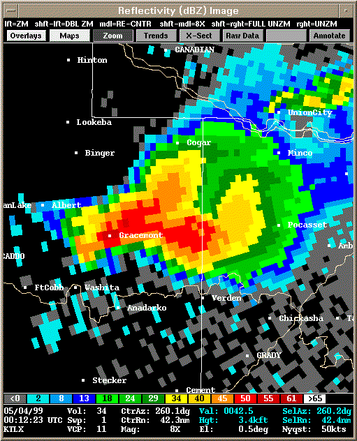 Reflectivity |
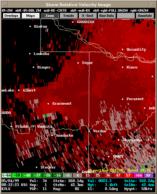 Storm Relative Velocity |
| 0017Z: Tornado B6 about to form (0020Z) - brief spin up. | |
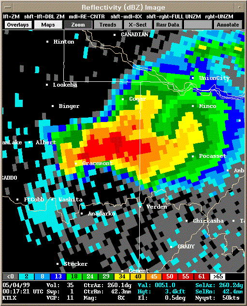 Reflectivity |
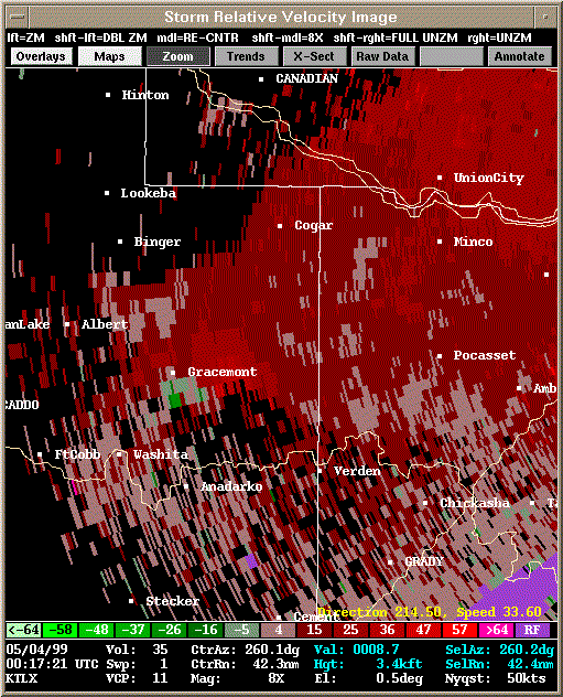 Storm Relative Velocity |
| 0022Z | |
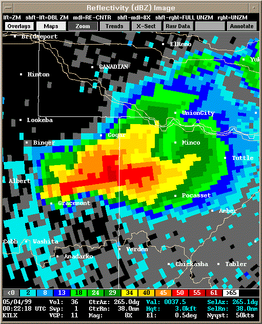 Reflectivity |
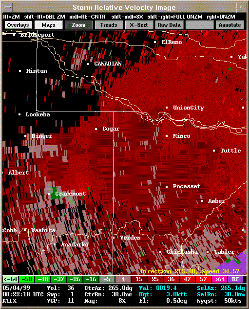 Storm Relative Velocity |
| 0027Z | |
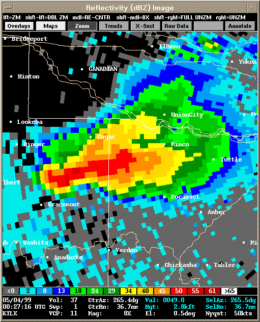 Reflectivity |
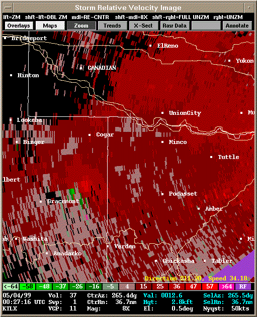 Storm Relative Velocity |
| 0032Z: Tornado B7 about to form - brief tornado (0034-0035Z). | |
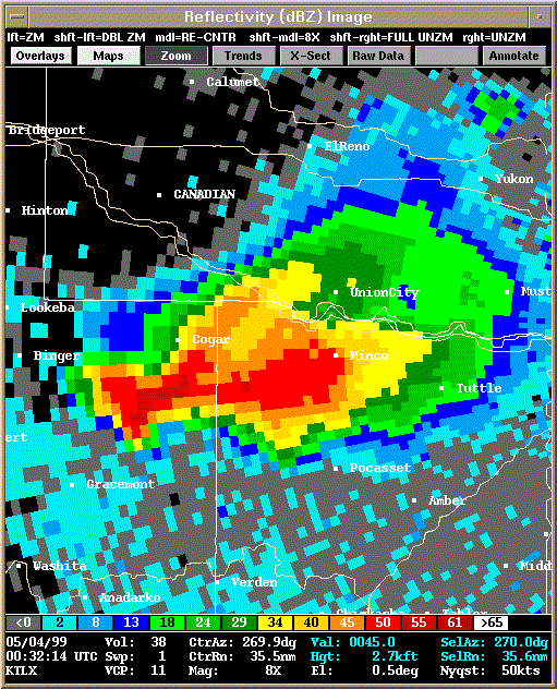 Reflectivity |
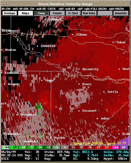 Storm Relative Velocity |
| 0037Z: Tornado B8 and tornado B9 just formed. | |
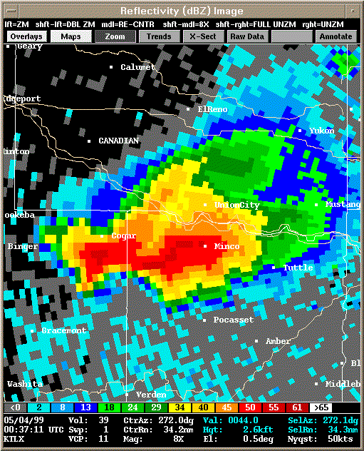 Reflectivity |
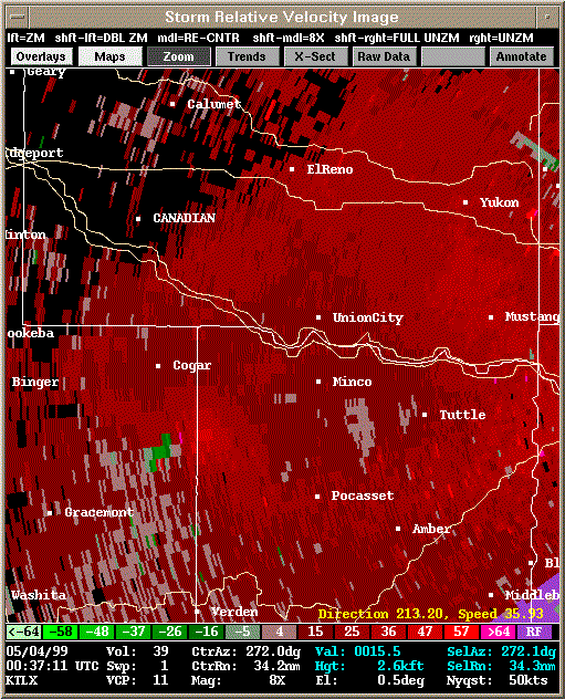 Storm Relative Velocity |
| 0042Z: Tornado B8 already dissipated; B9 still on the ground. | |
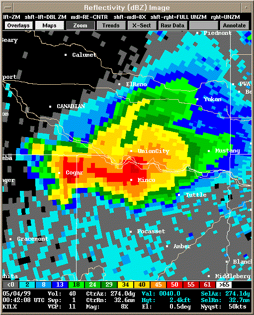 Reflectivity |
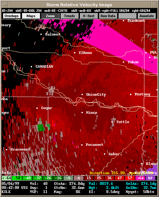 Storm Relative Velocity |
| 0047Z: Tornado B9 about to dissipate; Tornado B10 just formed. | |
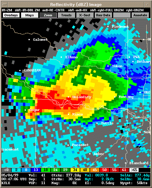 Reflectivity |
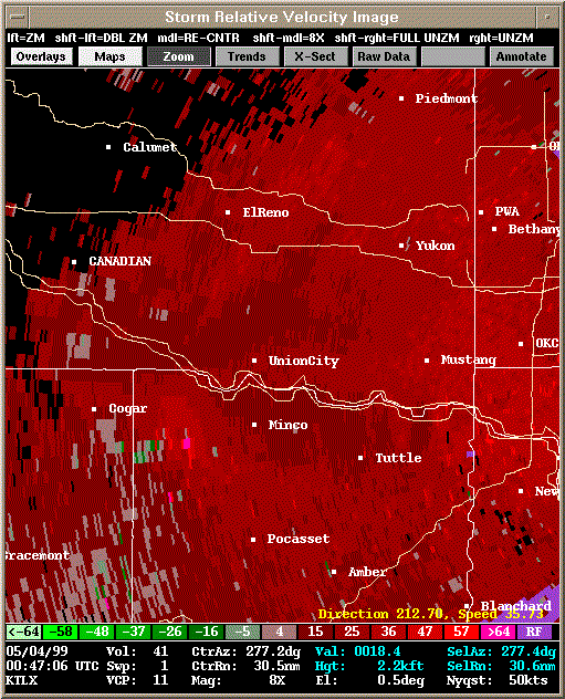 Storm Relative Velocity |
| 0052Z: Tornado B10 still on the ground. Satellite tornado B11 forms briefly in a few minutes at 0055Z. | |
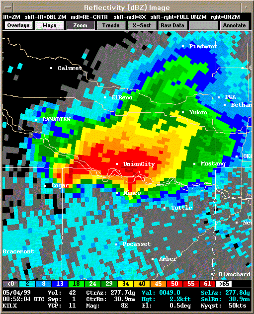 Reflectivity |
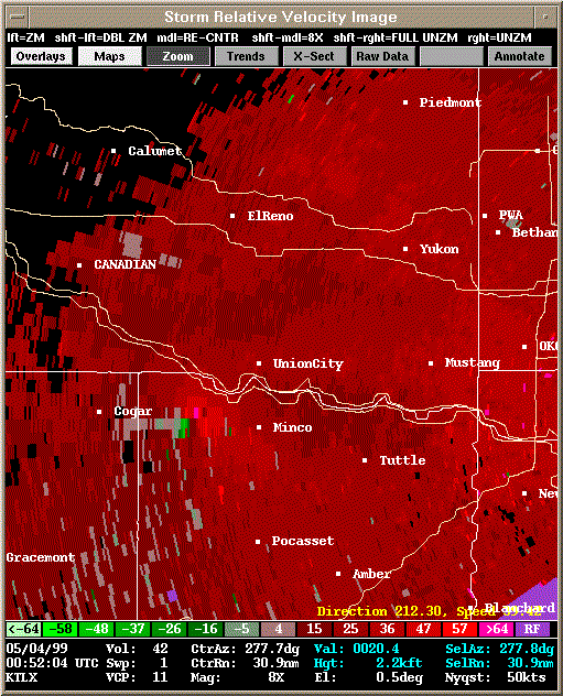 Storm Relative Velocity |
| 0057Z: Tornado B10 still on the ground, dissipates at 0100Z. | |
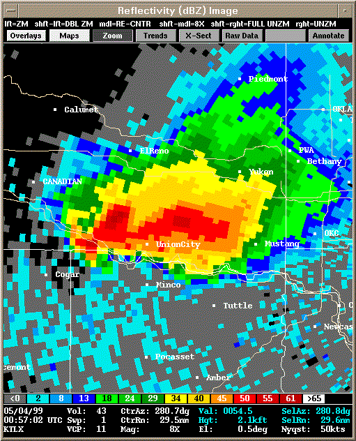 Reflectivity |
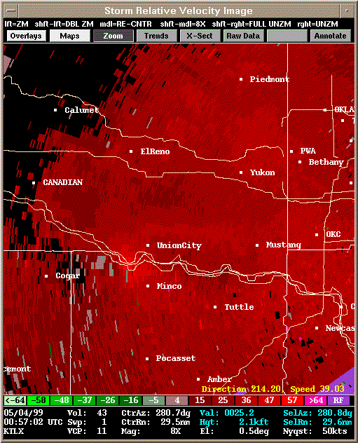 Storm Relative Velocity |
| 0102Z: Tornado B12 forms briefly at 0103Z. | |
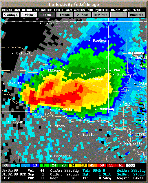 Reflectivity |
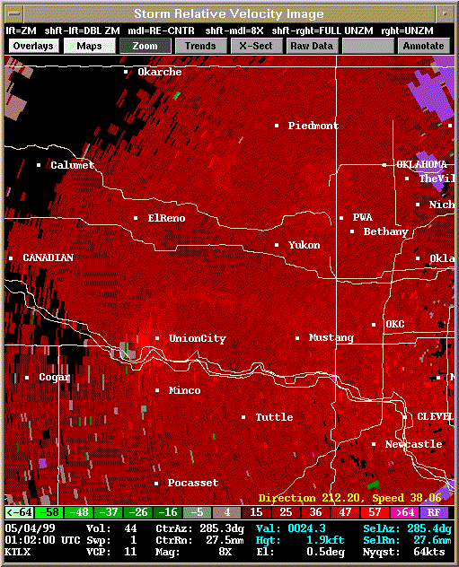 Storm Relative Velocity |
| 0106Z | |
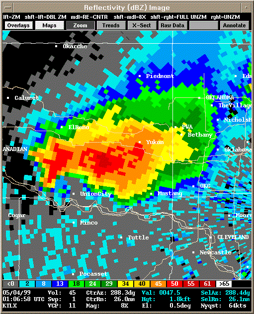 Reflectivity |
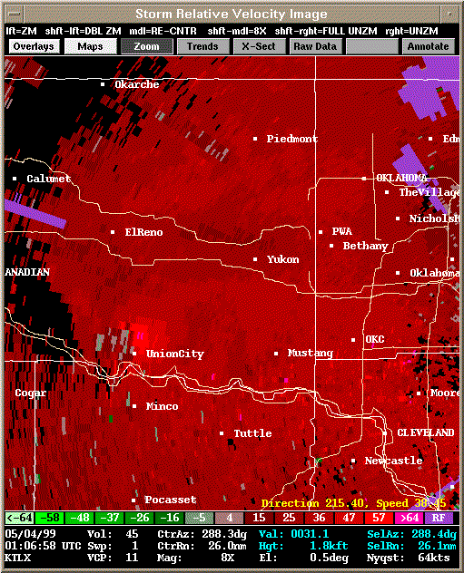 Storm Relative Velocity |
| 0111Z: Tornado B13 about to form briefly 0113-0114Z. | |
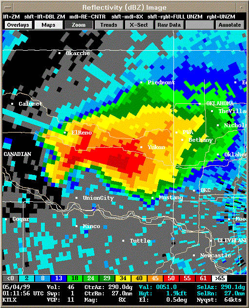 Reflectivity |
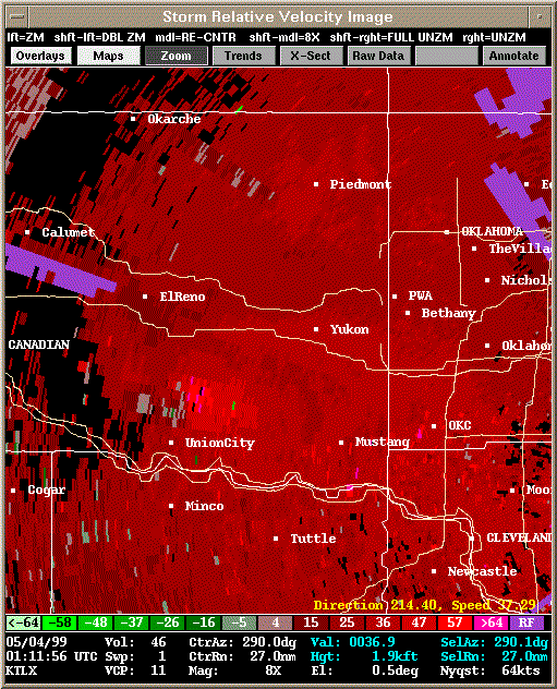 Storm Relative Velocity |
| 0116Z: Tornado B14 about to form briefly 0116-0118Z. | |
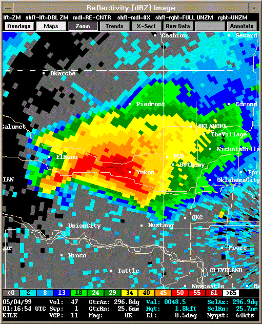 Reflectivity |
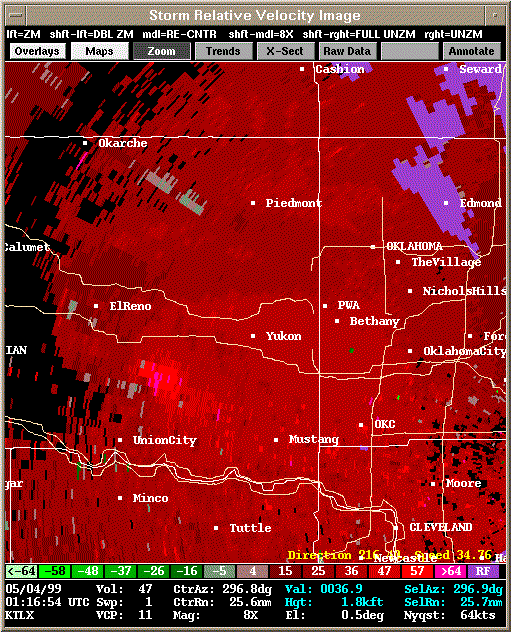 Storm Relative Velocity |
| 0121Z | |
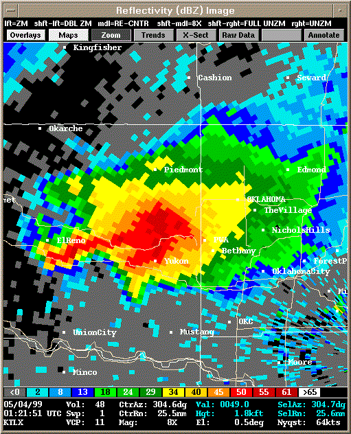 Reflectivity |
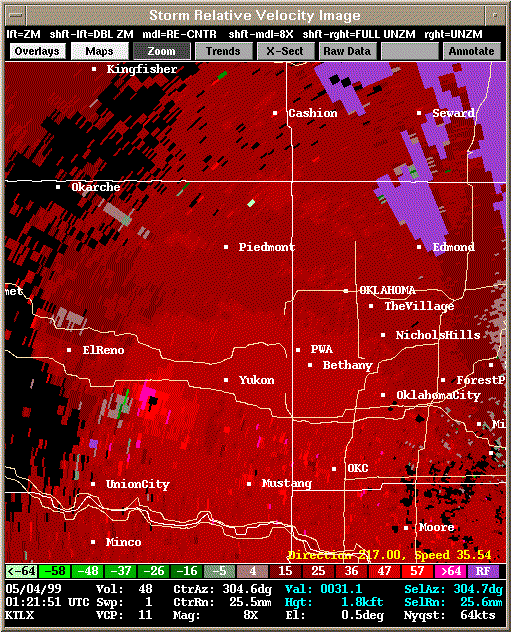 Storm Relative Velocity |
| 0126Z: Tornado B15 formed briefly at 0125Z. | |
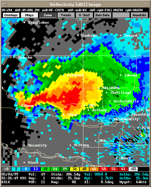 Reflectivity |
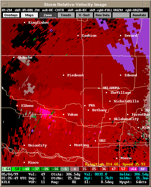 Storm Relative Velocity |
| 0131Z: Tornado B16 about to form at 0134Z. | |
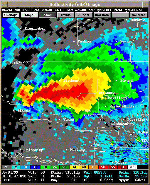 Reflectivity |
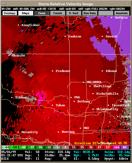 Storm Relative Velocity |
| 0136Z: Tornado B16 still on the ground. | |
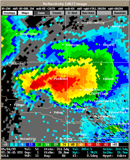 Reflectivity |
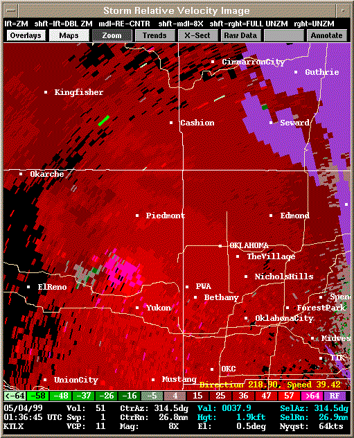 Storm Relative Velocity |
| 0141Z: Tornado B16 still on the ground. Tornado B17 about to form at 0144Z. | |
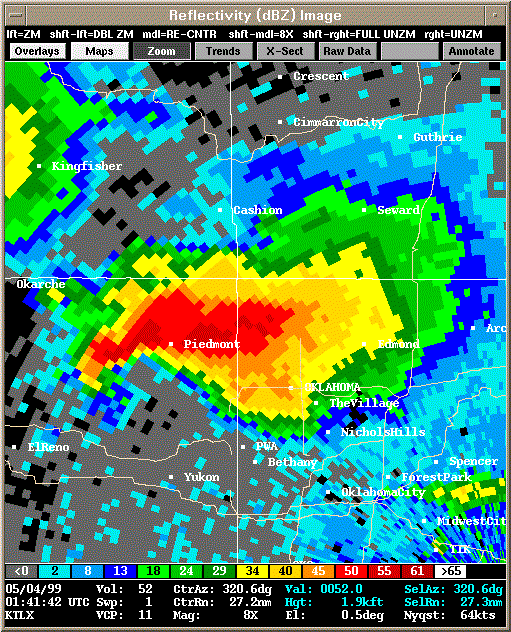 Reflectivity |
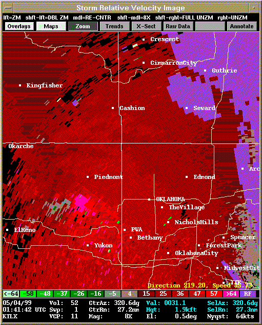 Storm Relative Velocity |
| 0146Z: Tornado B16 dissipates. Tornado B17 on the ground. | |
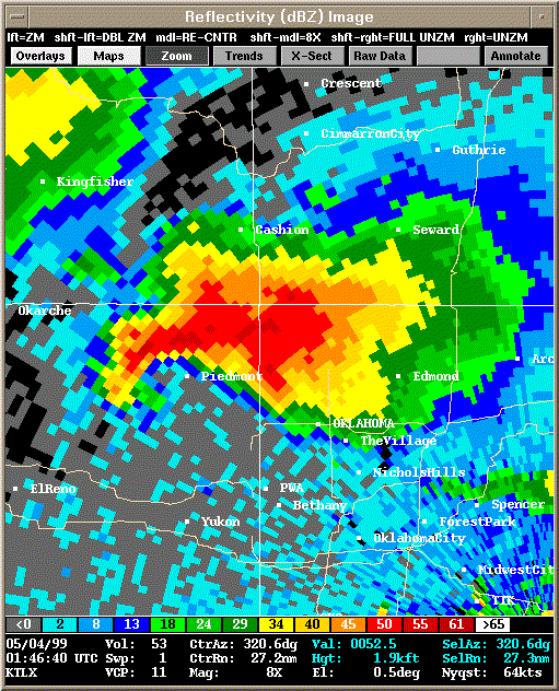 Reflectivity |
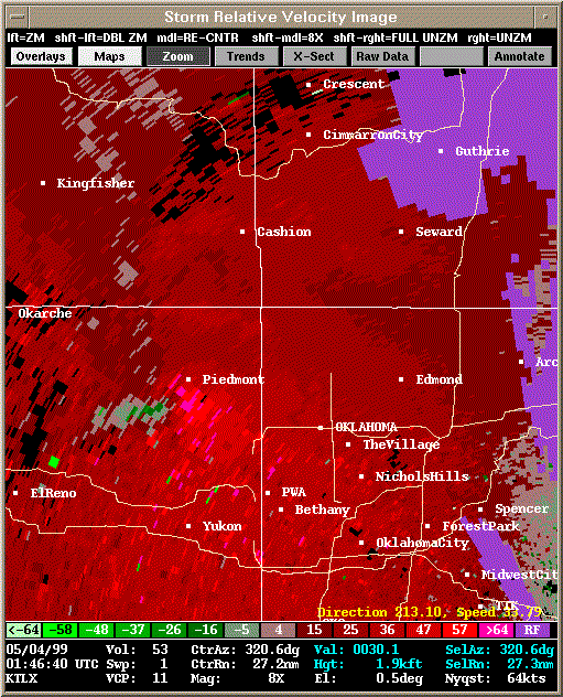 Storm Relative Velocity |
| 0151Z: Tornado B17 still on the ground. | |
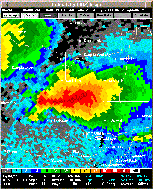 Reflectivity |
|
| 0156Z: Tornado B17 still on the ground. Tornado B18 about to form at 0158Z. | |
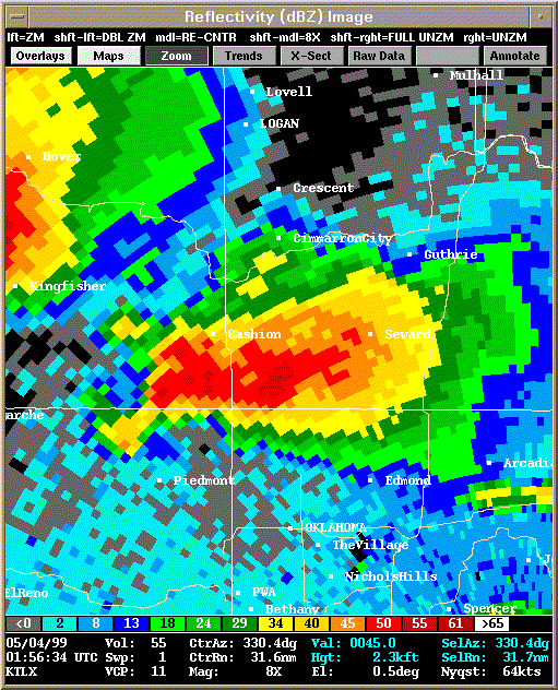 Reflectivity |
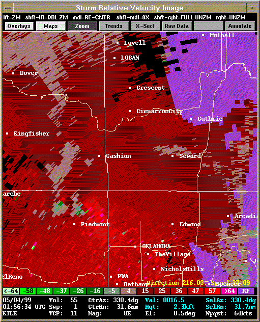 Storm Relative Velocity |
| 0201Z: Tornado B17 dissipated at 0200Z. Tornado B18 on the ground. | |
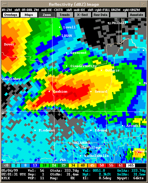 Reflectivity |
|
| 0206Z: Tornado B18 still on the ground. | |
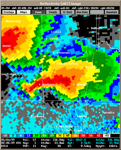 Reflectivity |
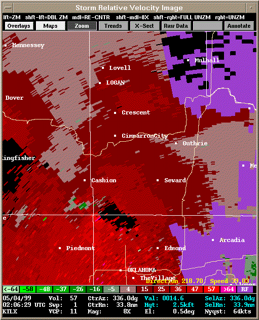 Storm Relative Velocity |
| 0211Z: Tornado B18 still on the ground. Satellite tornado B19 forms briefly 0210-0212Z. | |
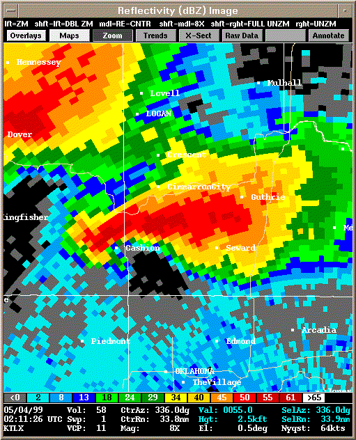 Reflectivity |
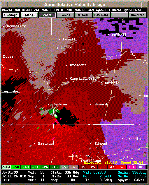 Storm Relative Velocity |
| 0216Z: Tornado B18 still on the ground. | |
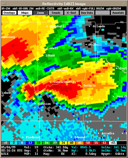 Reflectivity |
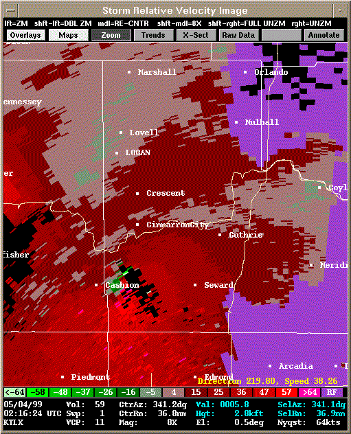 Storm Relative Velocity |
| 0221Z: Tornado B18 about to dissipate at 0222Z. | |
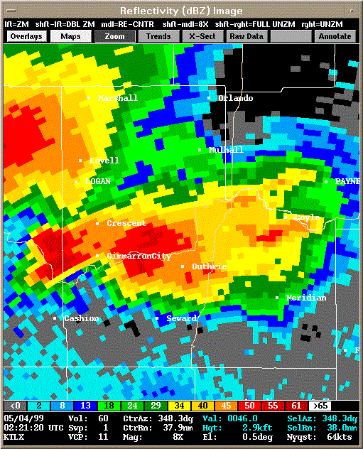 Reflectivity |
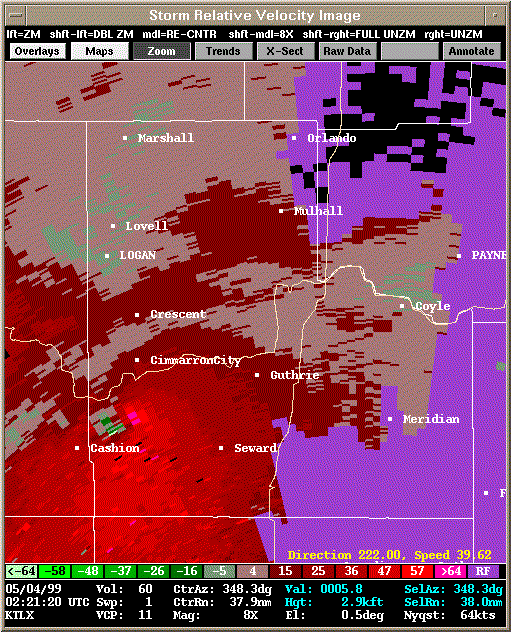 Storm Relative Velocity |
| 0226Z: Tornado B20 (Mulhall Tornado) formed at 0225Z. | |
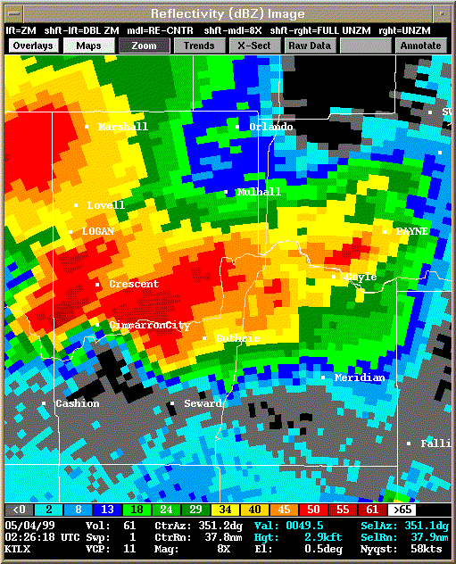 Reflectivity |
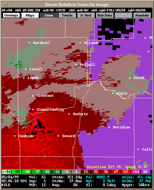 Storm Relative Velocity |
| 0231Z: Tornado B20 still on the ground. | |
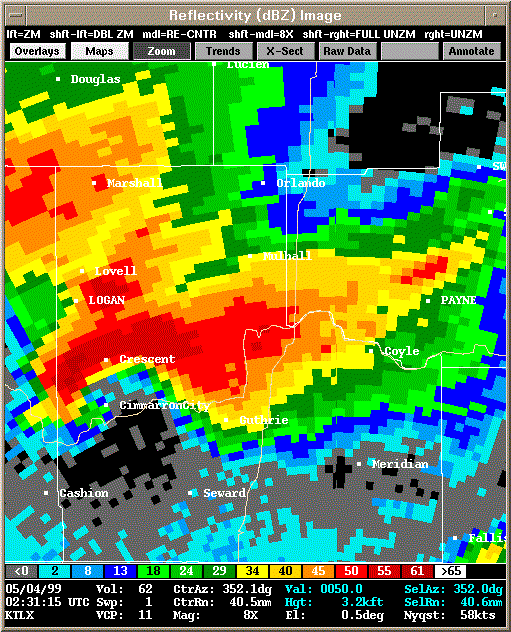 Reflectivity |
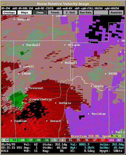 Storm Relative Velocity |
| 0236Z: Tornado B20 still on the ground. | |
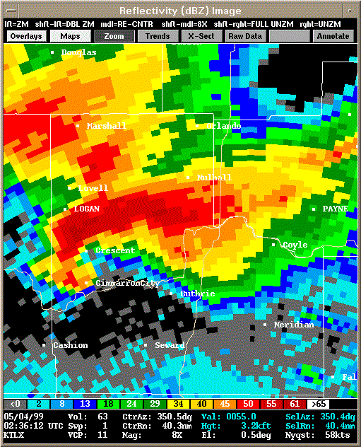 Reflectivity |
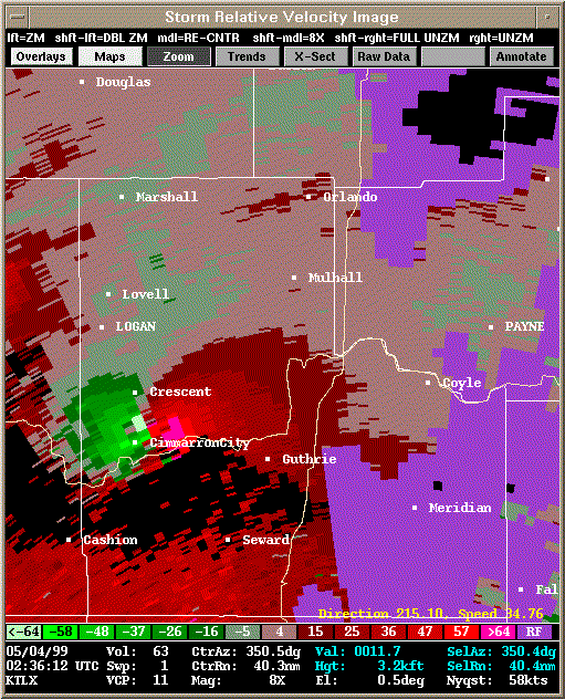 Storm Relative Velocity |
| 0241Z: Tornado B20 still on the ground. | |
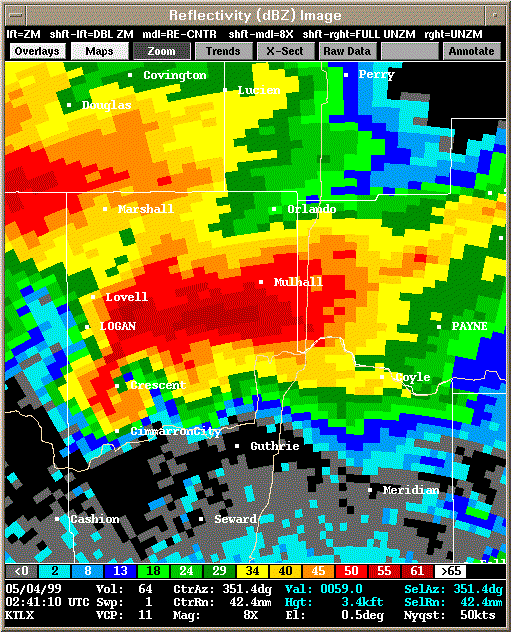 Reflectivity |
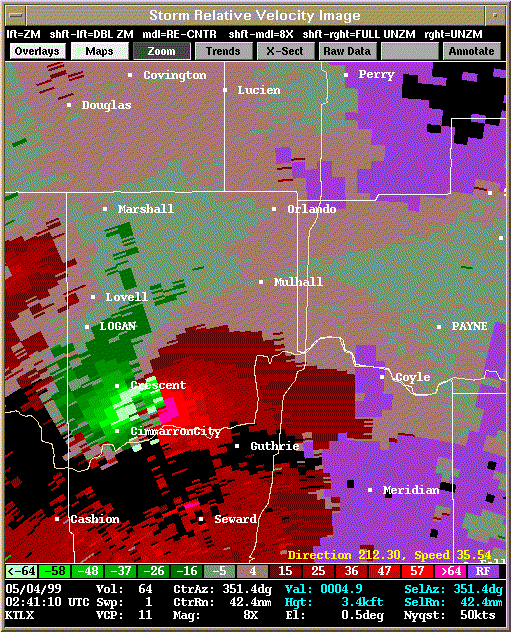 Storm Relative Velocity |
| 0246Z: Tornado B20 still on the ground. | |
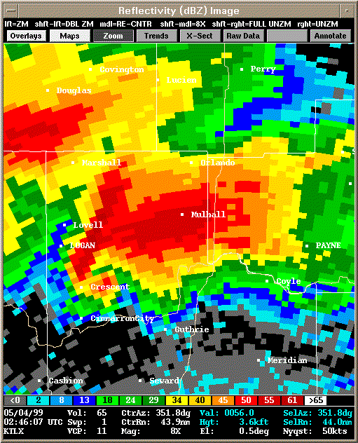 Reflectivity |
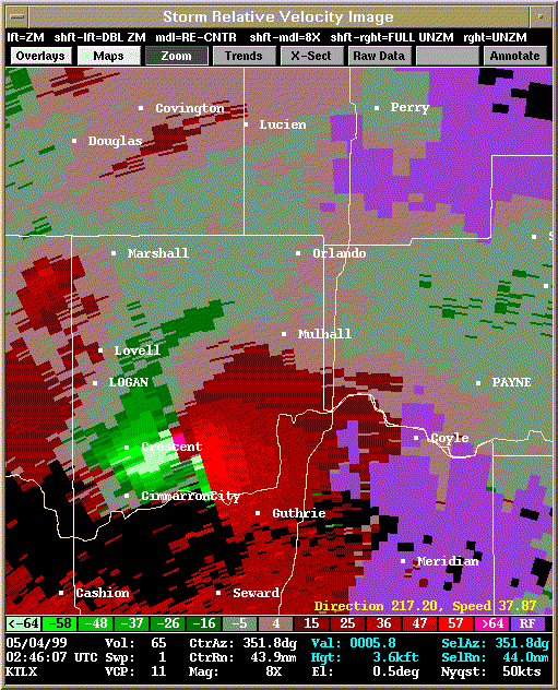 Storm Relative Velocity |
| 0251Z: Tornado B20 still on the ground. | |
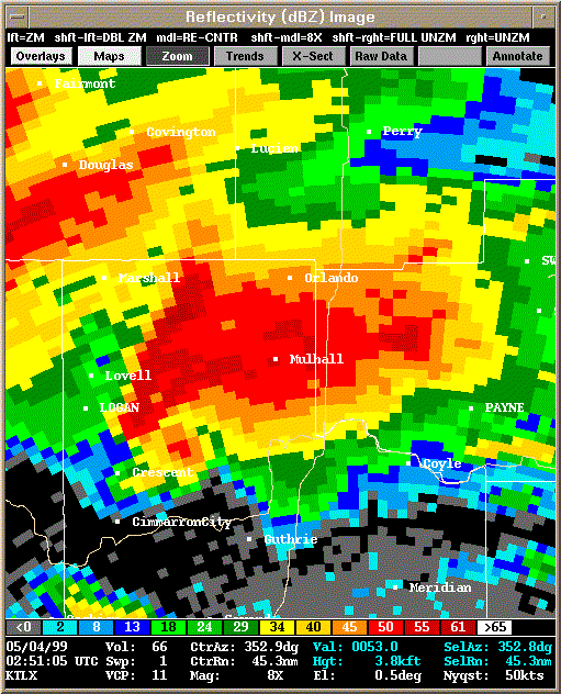 Reflectivity |
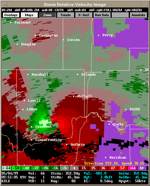 Storm Relative Velocity |
| 0256Z: Tornado B20 still on the ground. | |
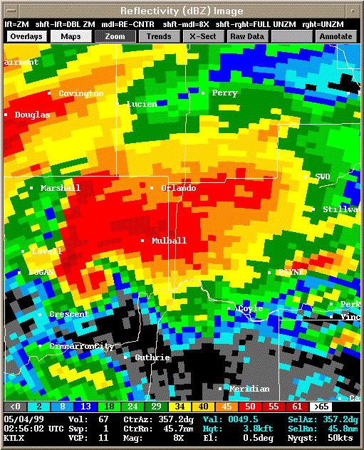 Reflectivity |
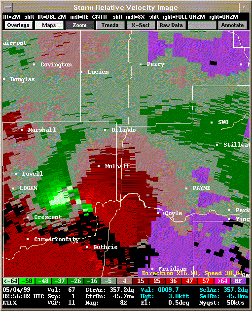 Storm Relative Velocity |
| 0301Z: Tornado B20 still on the ground. | |
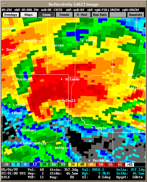 Reflectivity |
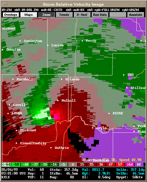 Storm Relative Velocity |
| 0305Z: Tornado B20 still on the ground. | |
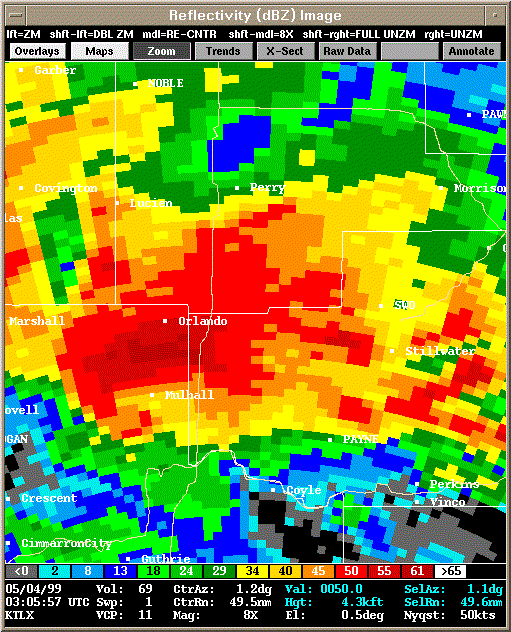 Reflectivity |
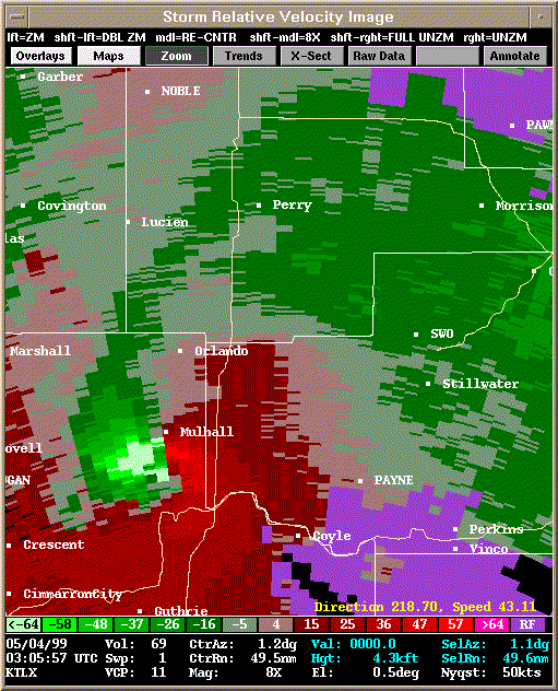 Storm Relative Velocity |
| 0310Z: Tornado B20 still on the ground. | |
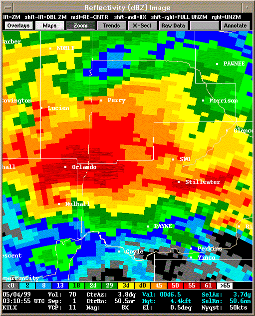 Reflectivity |
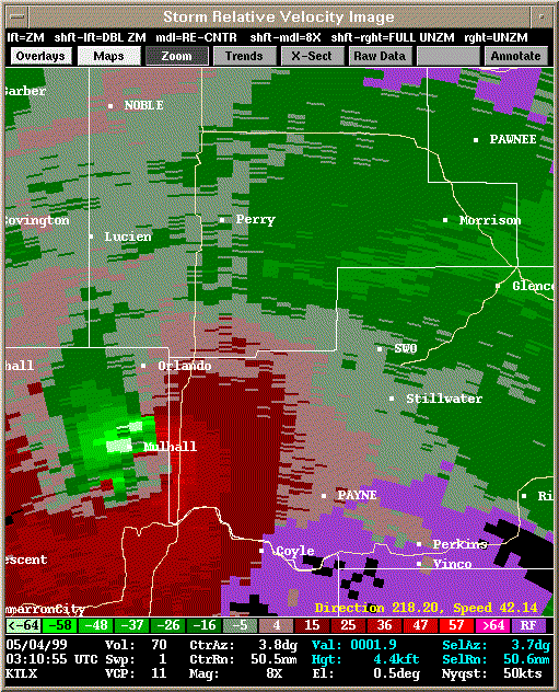 Storm Relative Velocity |
| 0315Z: Tornado B20 still on the ground. | |
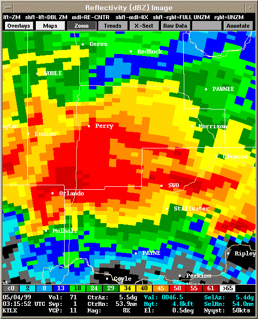 Reflectivity |
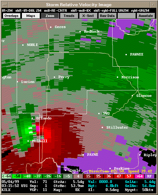 Storm Relative Velocity |
| 0320Z: Tornado B20 still on the ground. | |
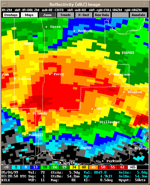 Reflectivity |
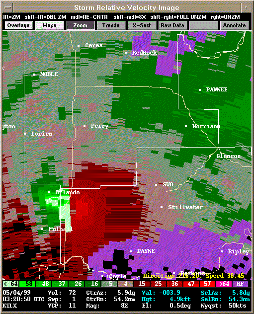 Storm Relative Velocity |
| 0325Z: Tornado B20 still on the ground. | |
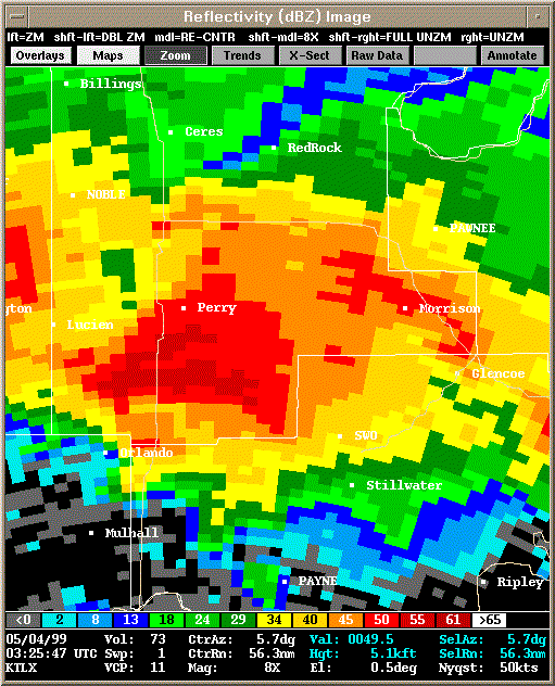 Reflectivity |
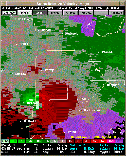 Storm Relative Velocity |
| 0330Z: Tornado B20 still on the ground. | |
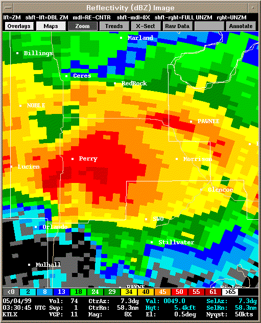 Reflectivity |
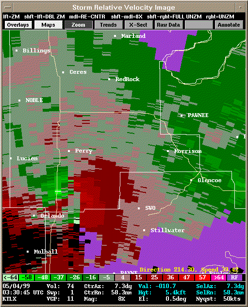 Storm Relative Velocity |
| 0335Z: Tornado B20 still on the ground. | |
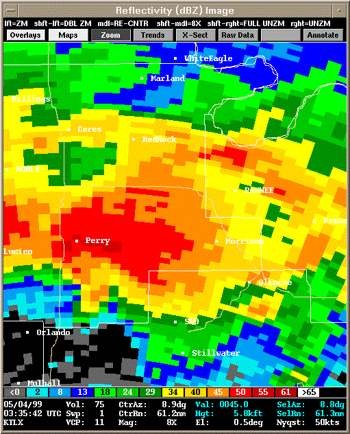 Reflectivity |
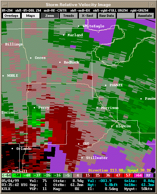 Storm Relative Velocity |
| 0340Z: Tornado B20 still on the ground. | |
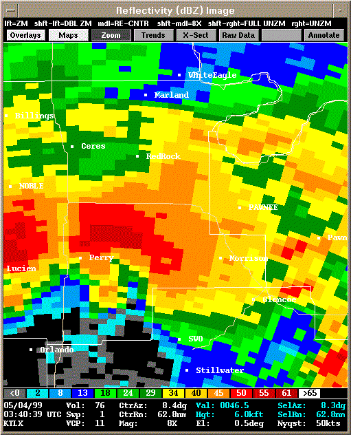 Reflectivity |
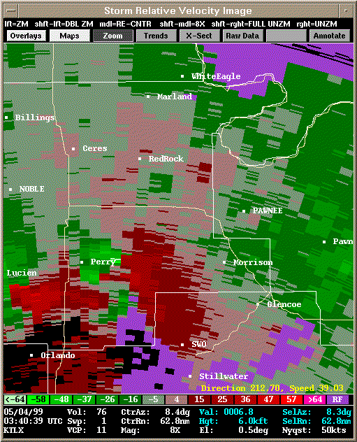 Storm Relative Velocity |
| 0345Z: Tornado B20 dissipates. | |
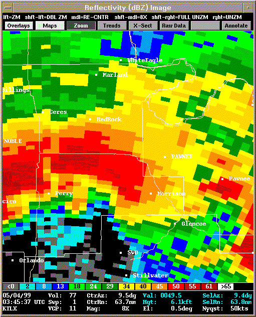 Reflectivity |
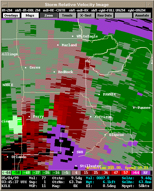 Storm Relative Velocity |
| 0350Z | |
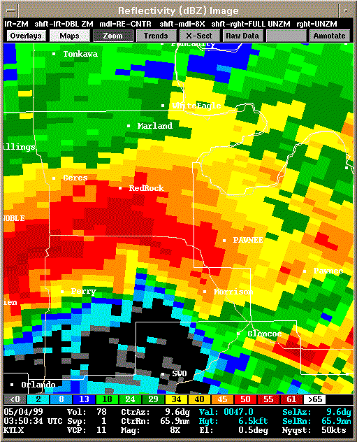 Reflectivity |
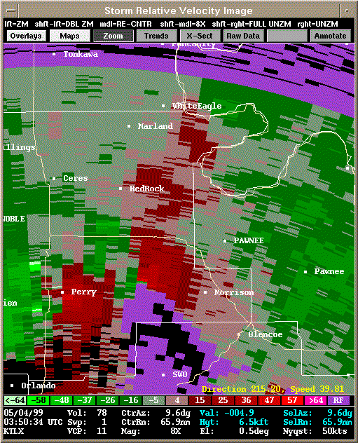 Storm Relative Velocity |
| 0355Z | |
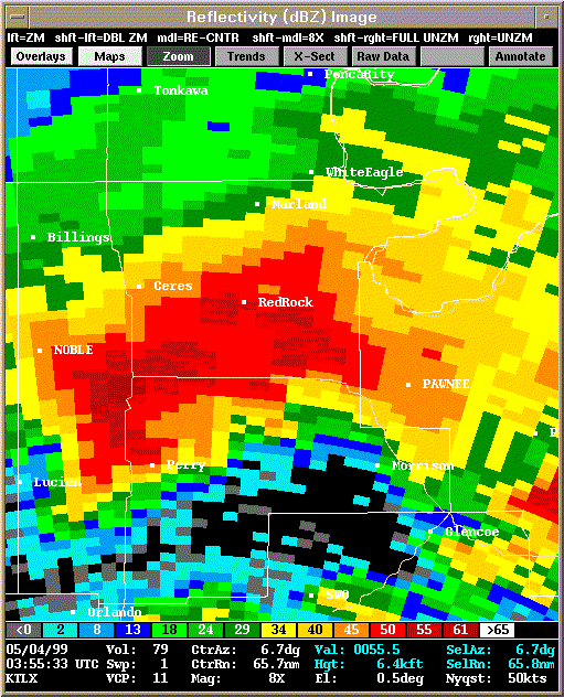 Reflectivity |
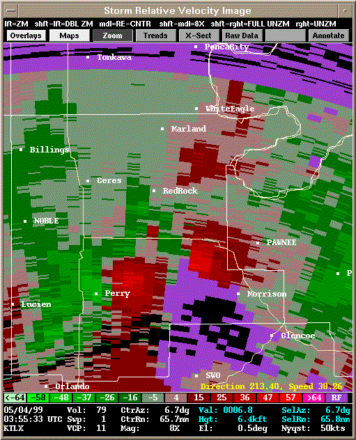 Storm Relative Velocity |
| 0400Z | |
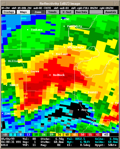 Reflectivity |
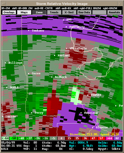 Storm Relative Velocity |
| 0405Z | |
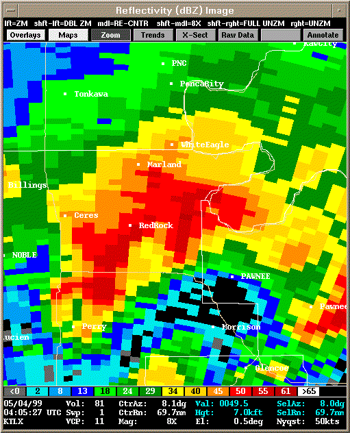 Reflectivity |
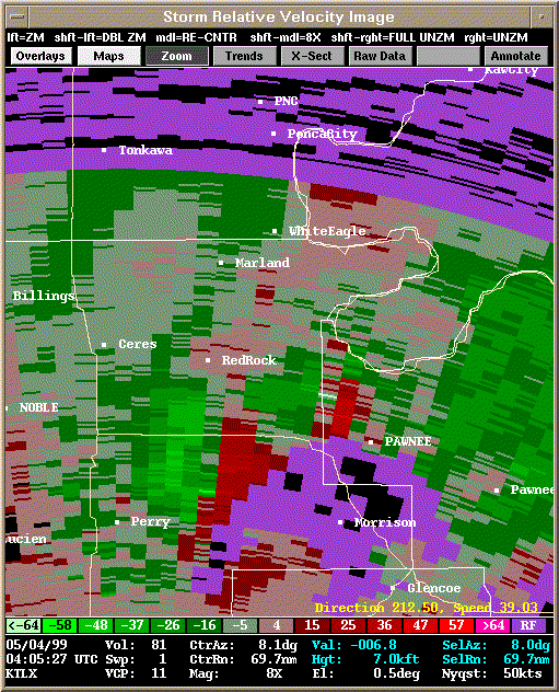 Storm Relative Velocity |
| 0410Z | |
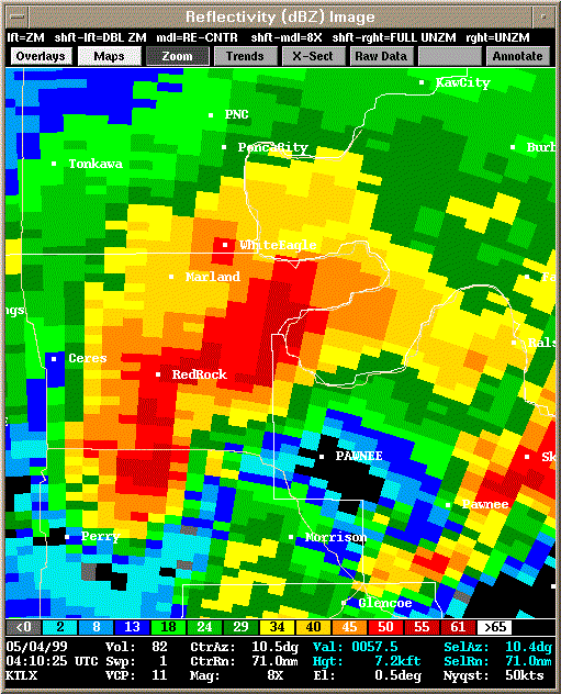 Reflectivity |
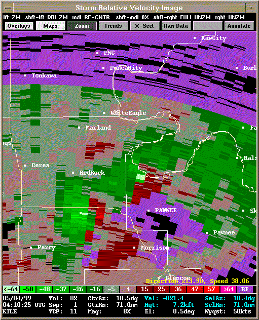 Storm Relative Velocity |
| 0415Z | |
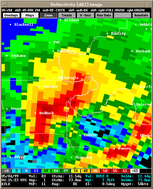 Reflectivity |
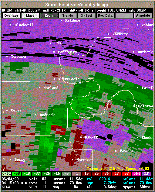 Storm Relative Velocity |
| 0420Z | |
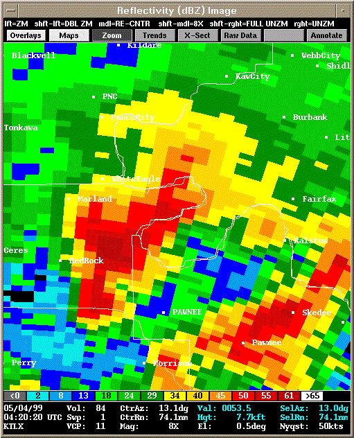 Reflectivity |
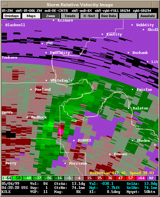 Storm Relative Velocity |
| 0425Z | |
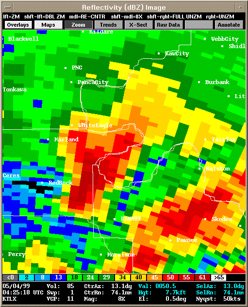 Reflectivity |
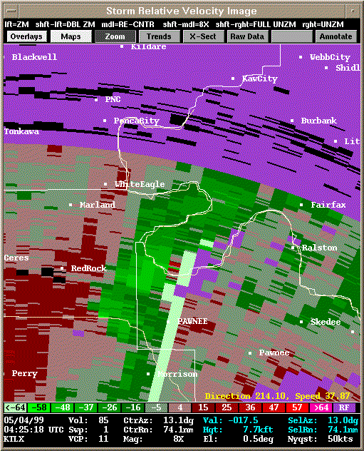 Storm Relative Velocity |
| 0430Z | |
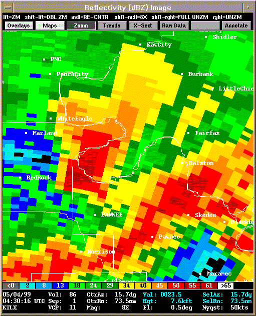 Reflectivity |
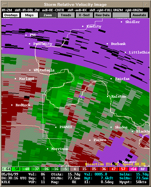 Storm Relative Velocity |
| Reflectivity | Storm Relative Velocity |
|---|---|
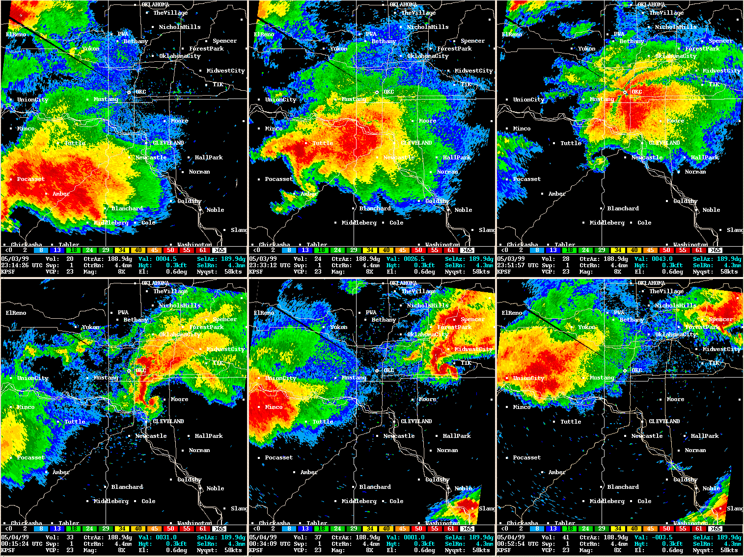 OKC TDWR Reflectivity Loop |
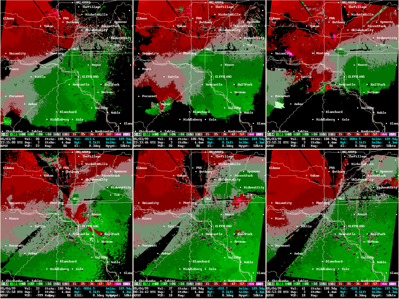 OKC TDWR Storm Relative Velocity Loop |
| Reflectivity | Storm Relative Velocity |
|---|---|
| 2314Z | |
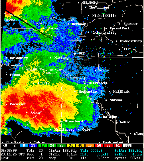 Reflectivity |
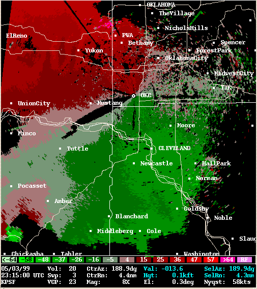 Storm Relative Velocity |
| 2319Z | |
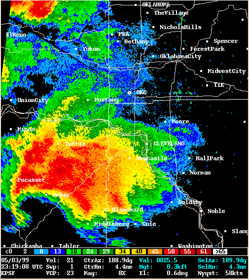 Reflectivity |
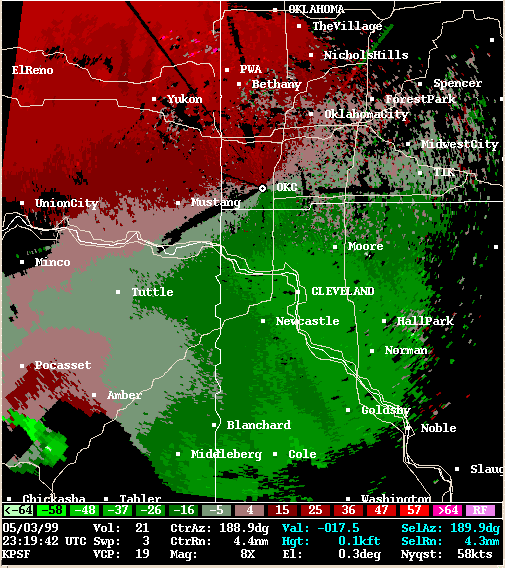 Storm Relative Velocity |
| 2323Z | |
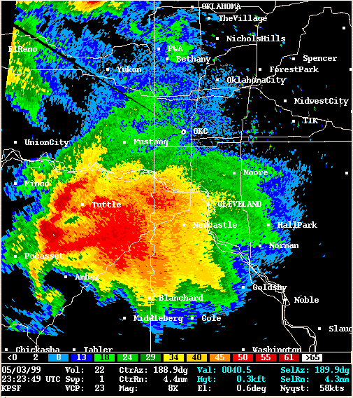 Reflectivity |
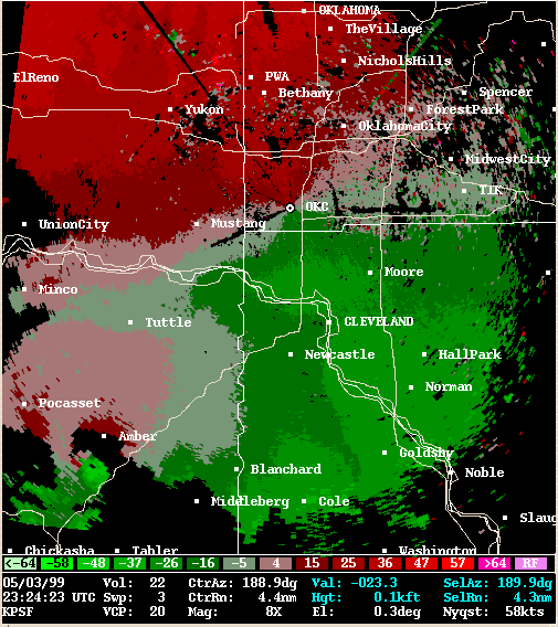 Storm Relative Velocity |
| 2328Z | |
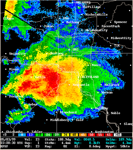 Reflectivity |
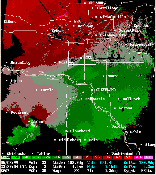 Storm Relative Velocity |
| 2333Z | |
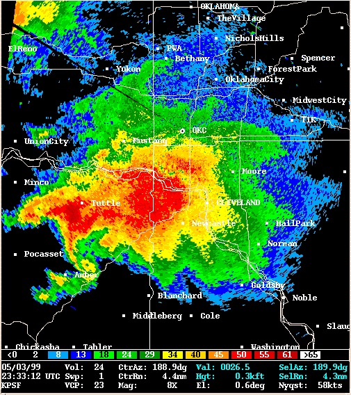 Reflectivity |
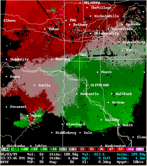 Storm Relative Velocity |
| 2337Z | |
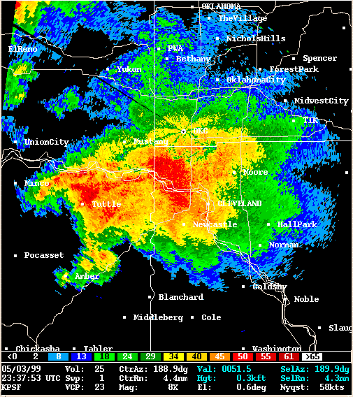 Reflectivity |
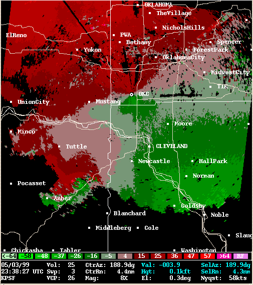 Storm Relative Velocity |
| 2342Z | |
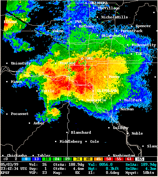 Reflectivity |
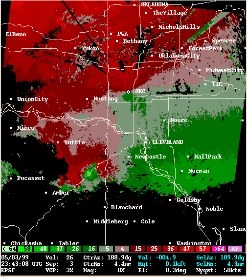 Storm Relative Velocity |
| 2347Z | |
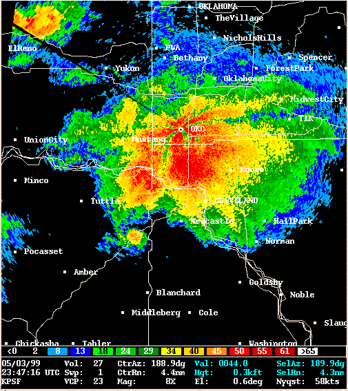 Reflectivity |
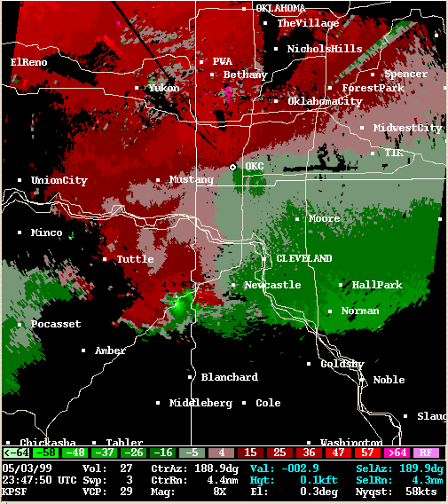 Storm Relative Velocity |
| 2351Z | |
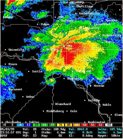 Reflectivity |
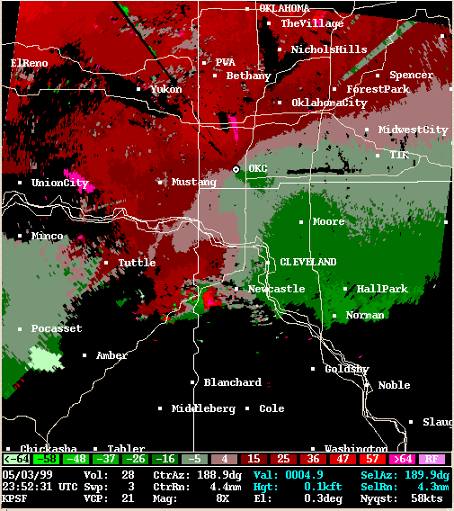 Storm Relative Velocity |
| 2356Z | |
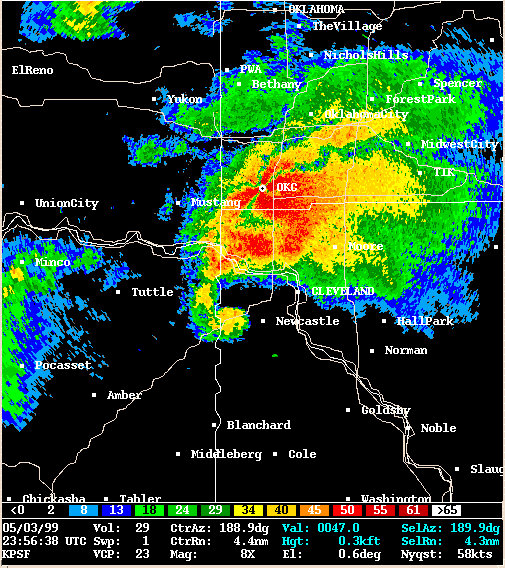 Reflectivity |
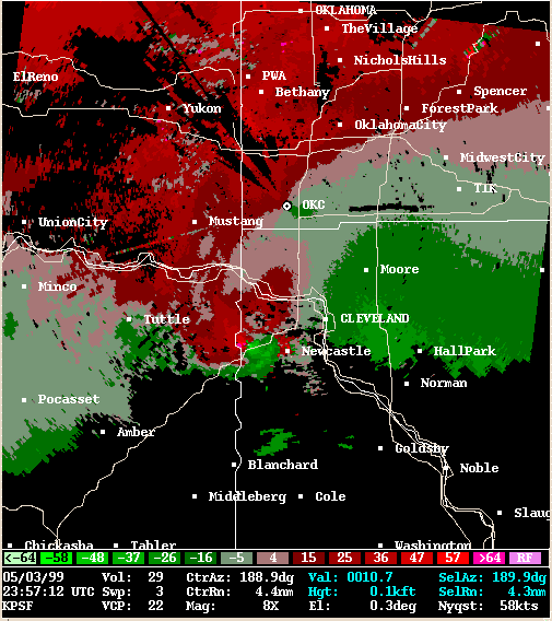 Storm Relative Velocity |
| 0001Z | |
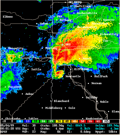 Reflectivity |
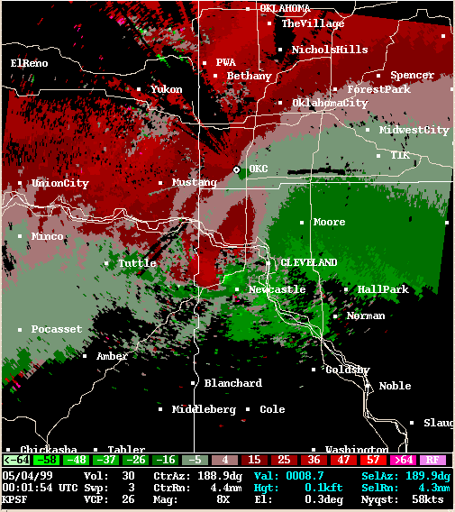 Storm Relative Velocity |
| 0006Z | |
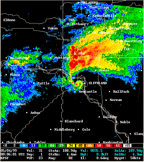 Reflectivity |
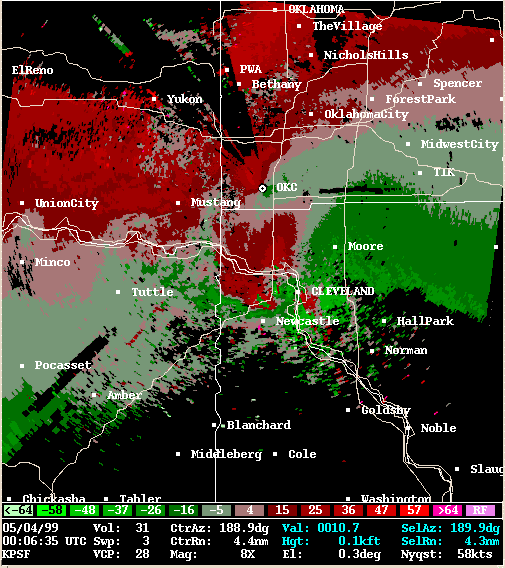 Storm Relative Velocity |
| 0010Z | |
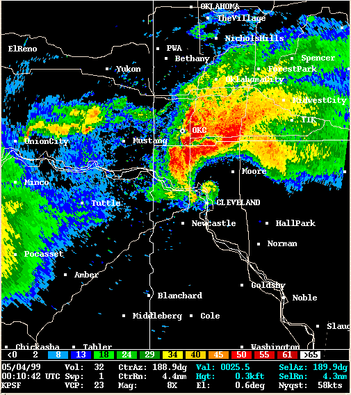 Reflectivity |
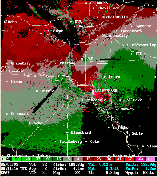 Storm Relative Velocity |
| 0015Z | |
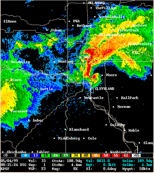 Reflectivity |
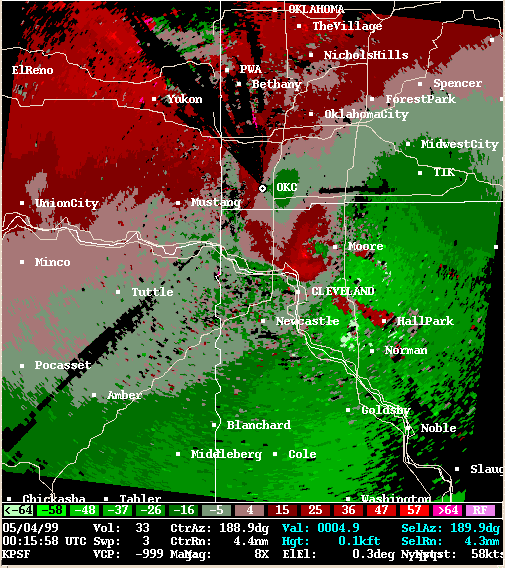 Storm Relative Velocity |
| 0020Z | |
 Reflectivity |
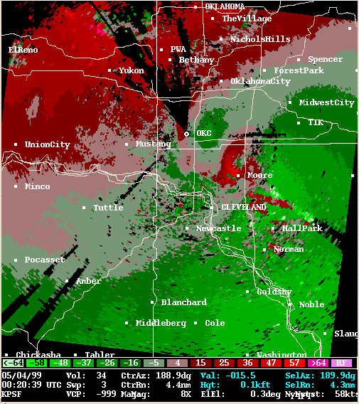 Storm Relative Velocity |
| 0024Z | |
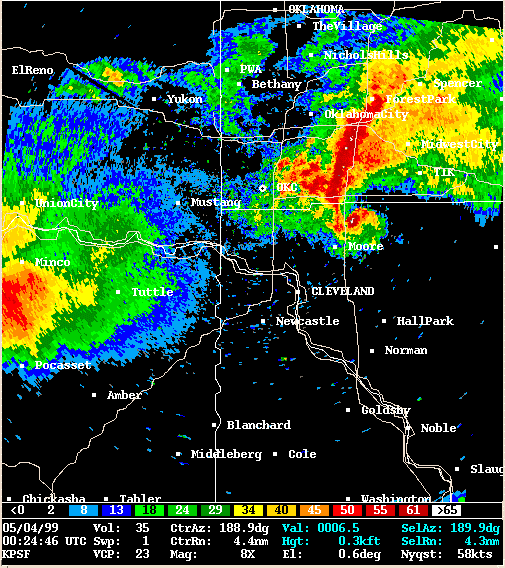 Reflectivity |
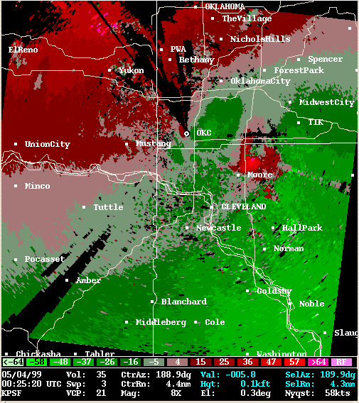 Storm Relative Velocity |
| 0029Z | |
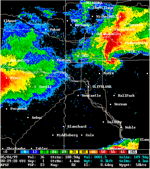 Reflectivity |
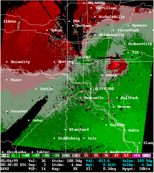 Storm Relative Velocity |
| 0034Z | |
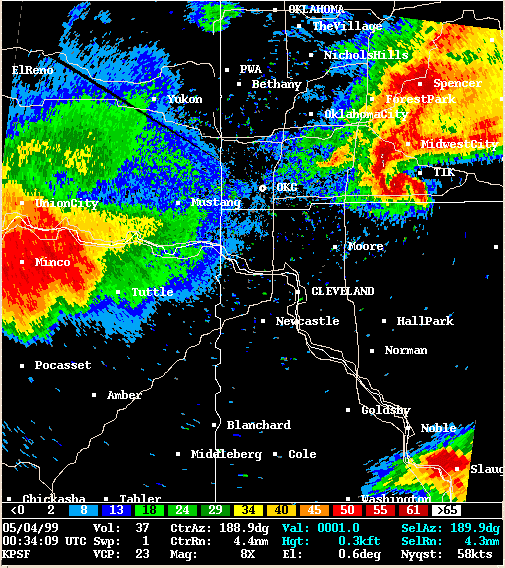 Reflectivity |
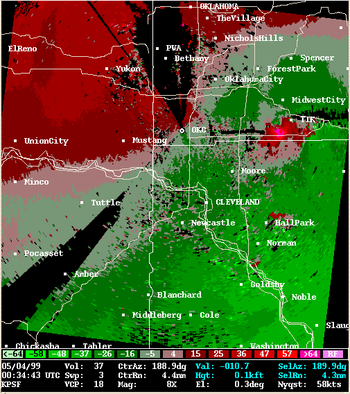 Storm Relative Velocity |
| 0038Z | |
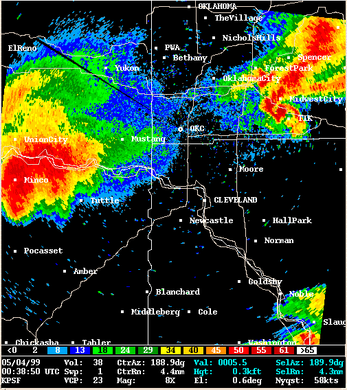 Reflectivity |
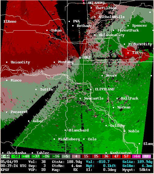 Storm Relative Velocity |
| 0043Z | |
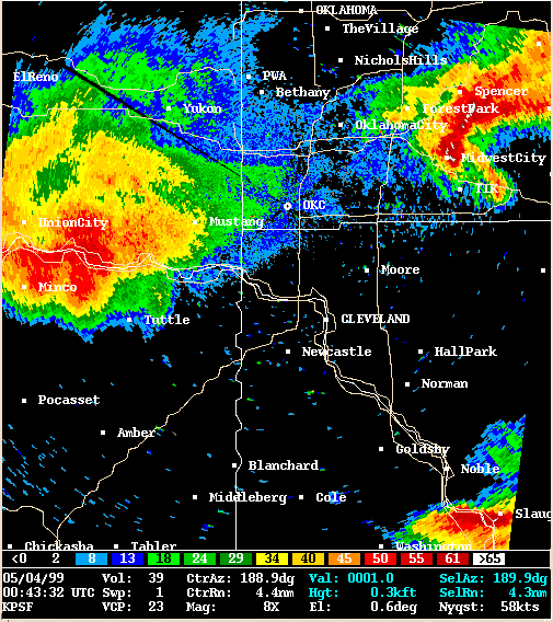 Reflectivity |
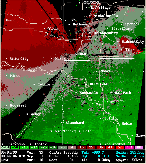 Storm Relative Velocity |
| 0048Z | |
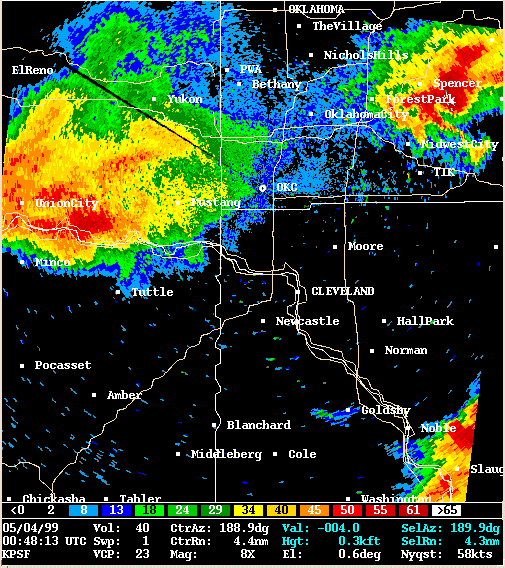 Reflectivity |
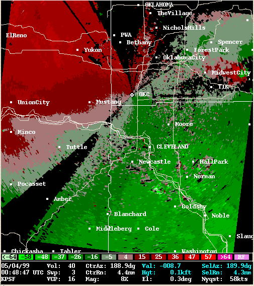 Storm Relative Velocity |
| 0052Z | |
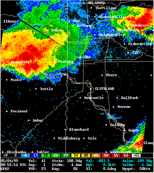 Reflectivity |
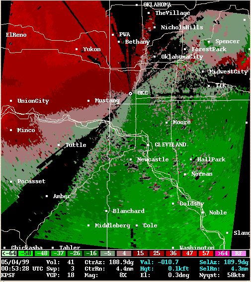 Storm Relative Velocity |


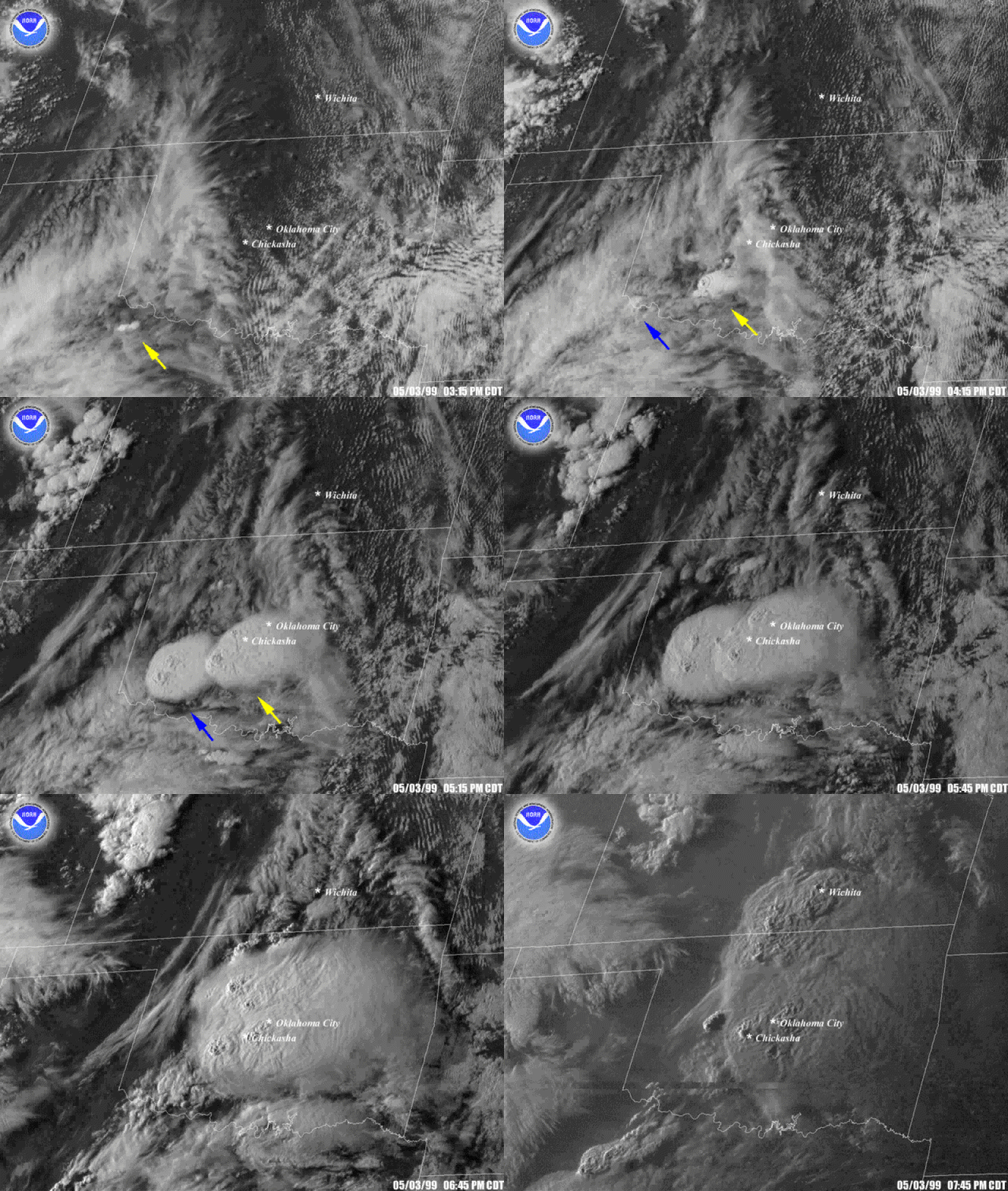
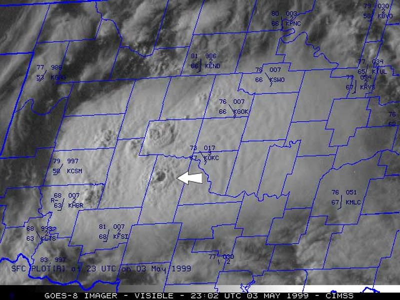
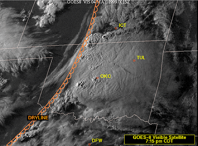

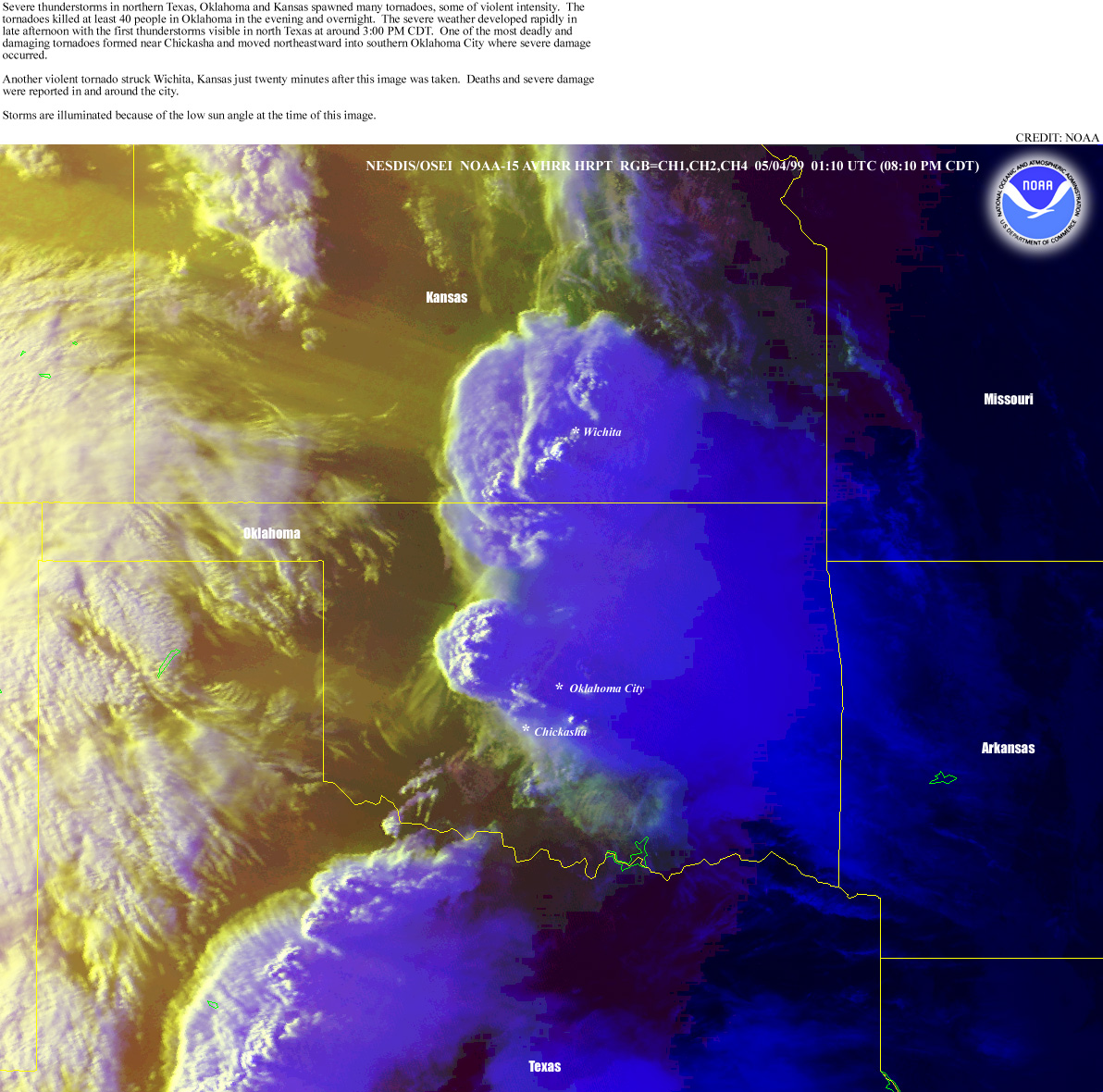

The following satellite loops were created using imagery provided courtesy of the Cooperative Institute Meteorological Satellite Studies (CIMSS) which is located at the University of Wisconsin-Madison (UW-Madison). Satellite images are still available from the original May 3, 1999 web page on the CIMSS GOES Gallery web page. This web page has since been replaced by the CIMSS Satellite Blog.
From the CIMSS web page: "GOES-8 visible and InfraRed (IR) imagery above show the explosive development of convection across southwestern Oklahoma after 3:45 PM CDT on May 3, 1999. Several overshooting tops are evident on the visible imagery, and an "Enhanced-V" signature was exhibited on the 10.7 micrometer IR imagery. A loop of 6.7 micrometer IR (water vapor) imagery shows the approach of an upper-level shortwave trough during the afternoon hours, and strong upper level divergence indicated that synoptic-scale upward vertical velocities were being enhanced as a jet streak moved across Oklahoma."
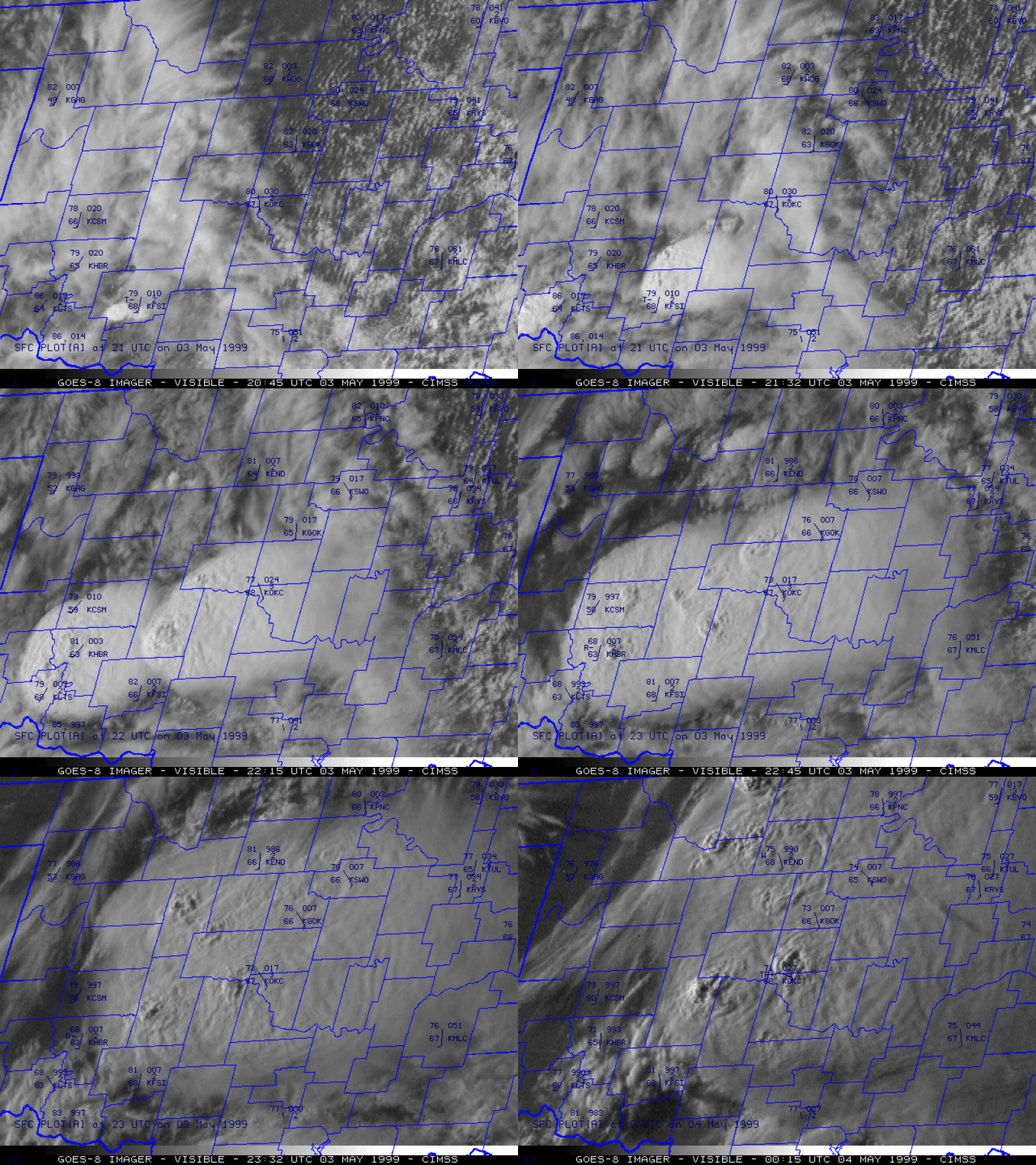
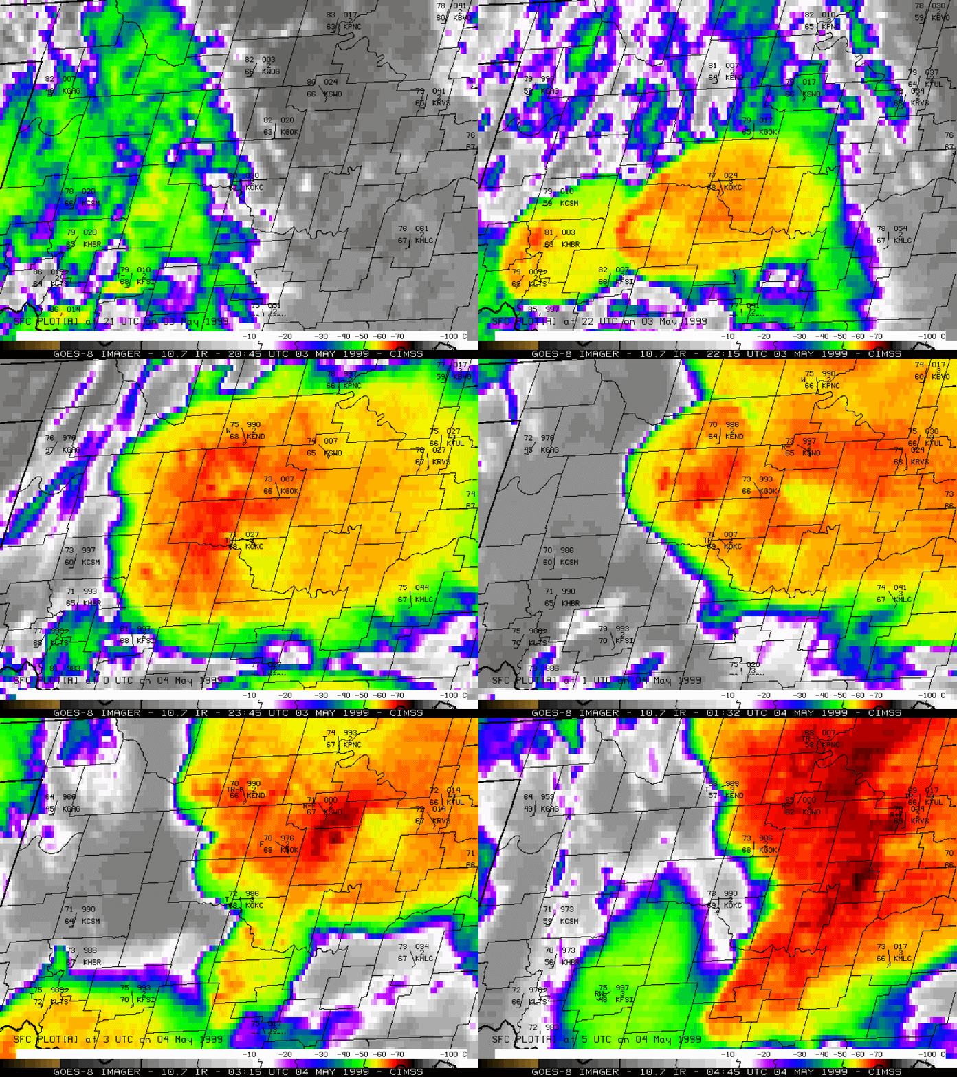
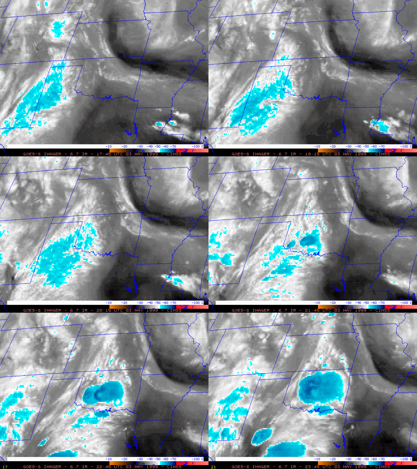


 |
 |
 |
 |
 |
 |
 |
 |
 |
 |
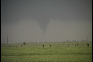 |
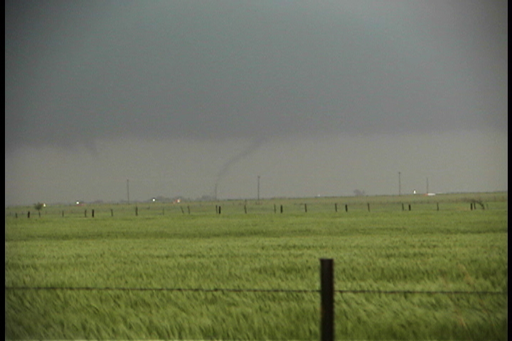 |
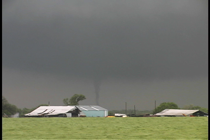 |
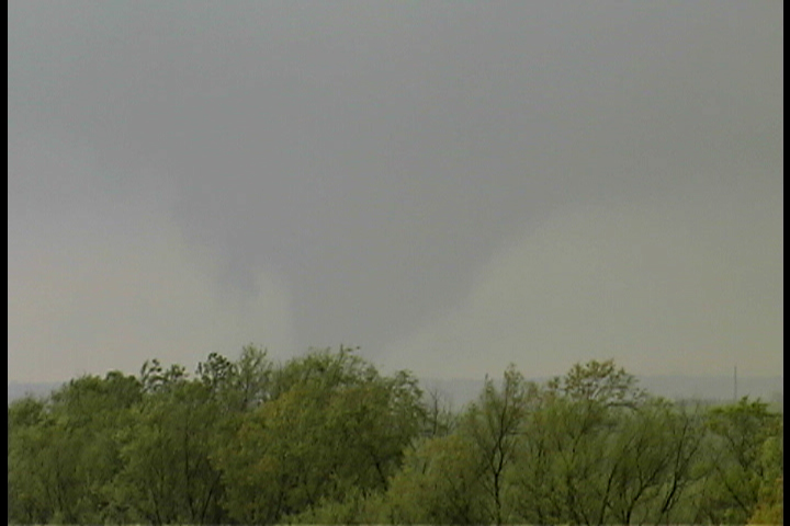 |
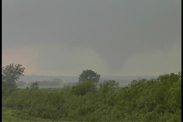 |
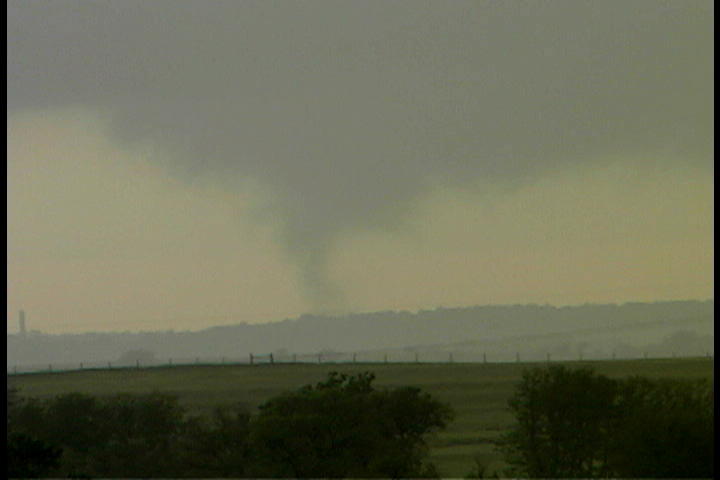 |
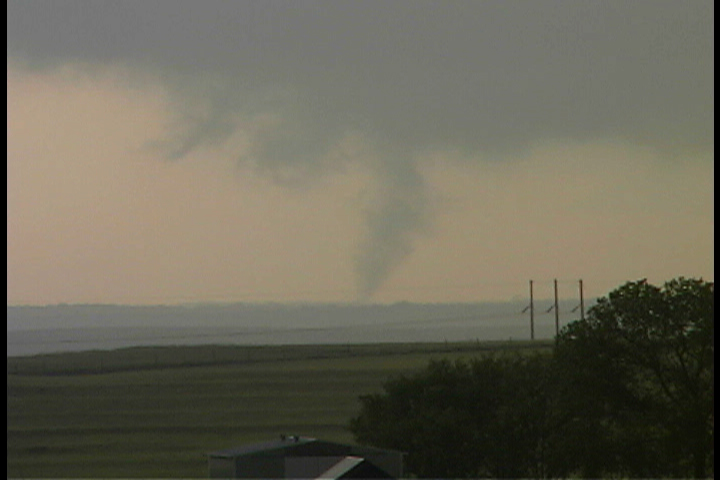 |
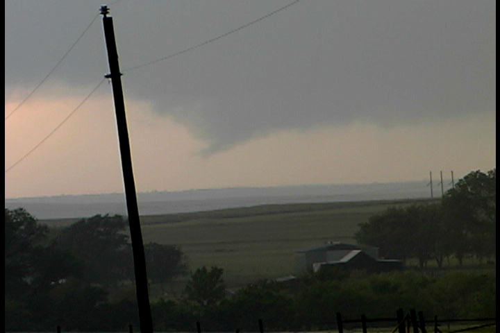 |
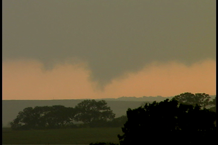 |
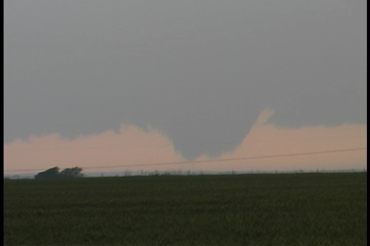 |
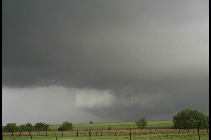 |
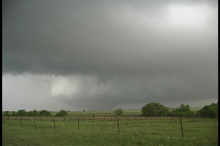 |
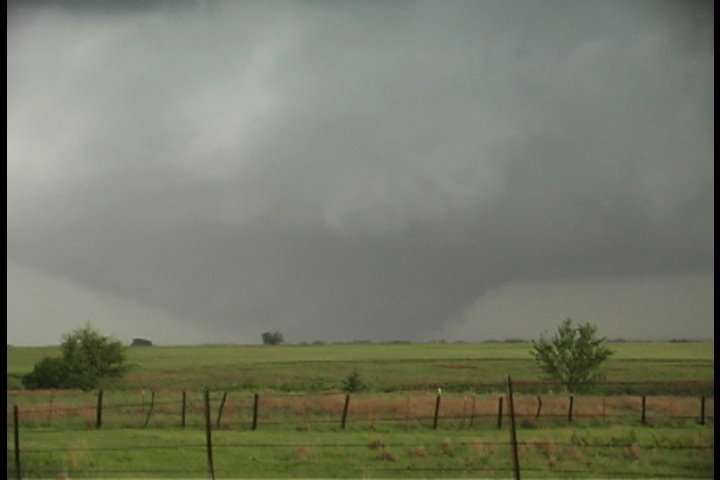 |
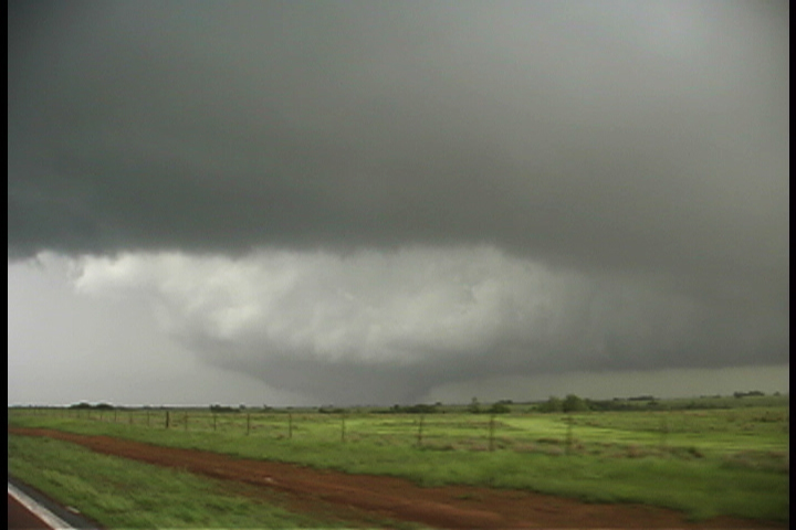 |
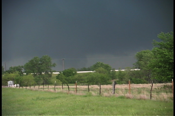 |
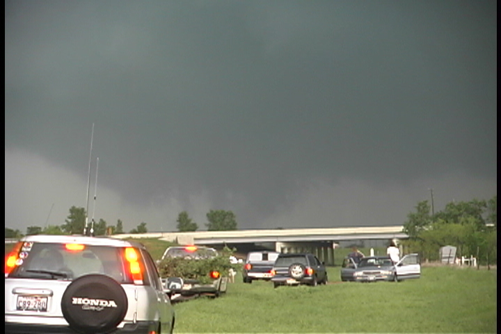 |
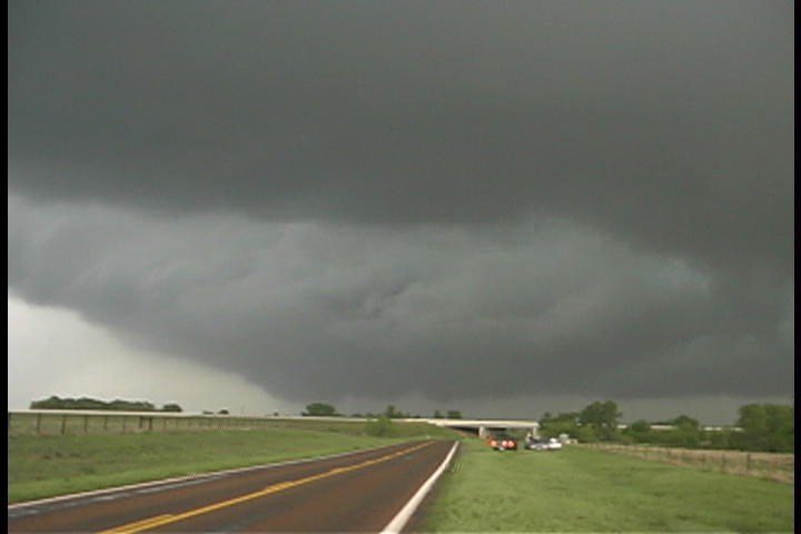 |


 Aerial Photos, Doug Crowley |
 NWS Norman Forecast Office |
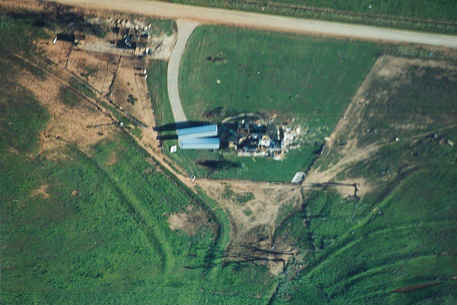 |
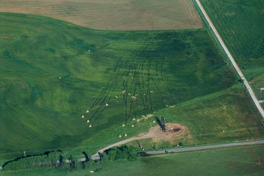 |
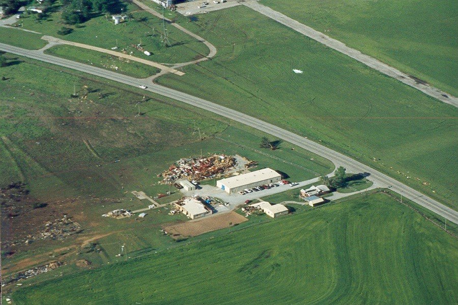 |
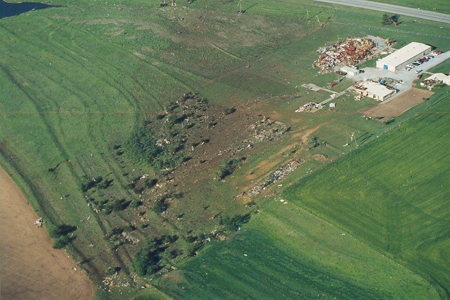 |
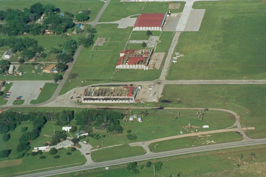 |
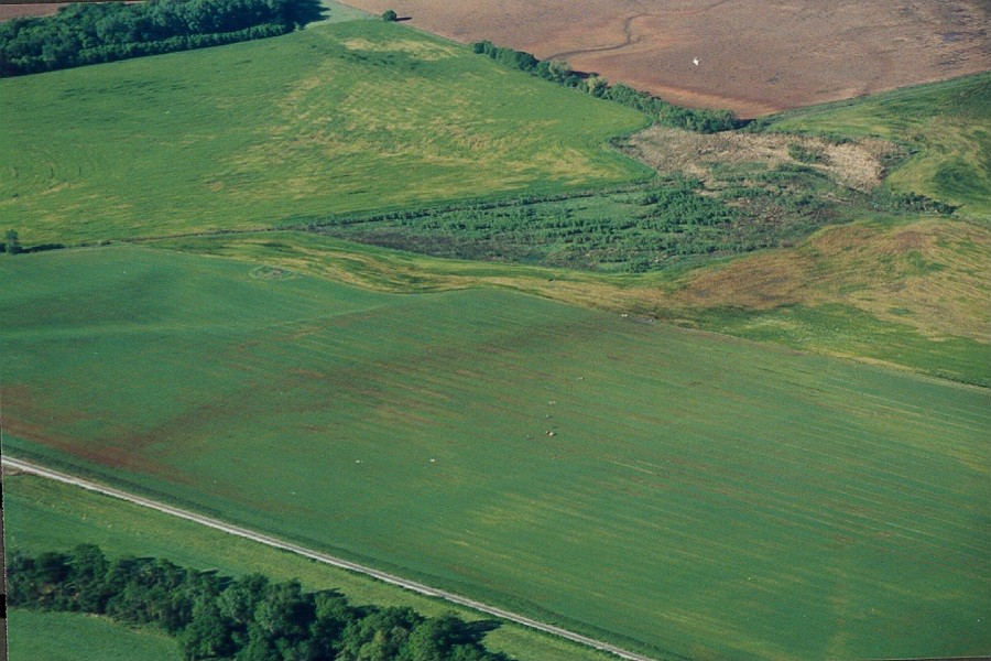 |
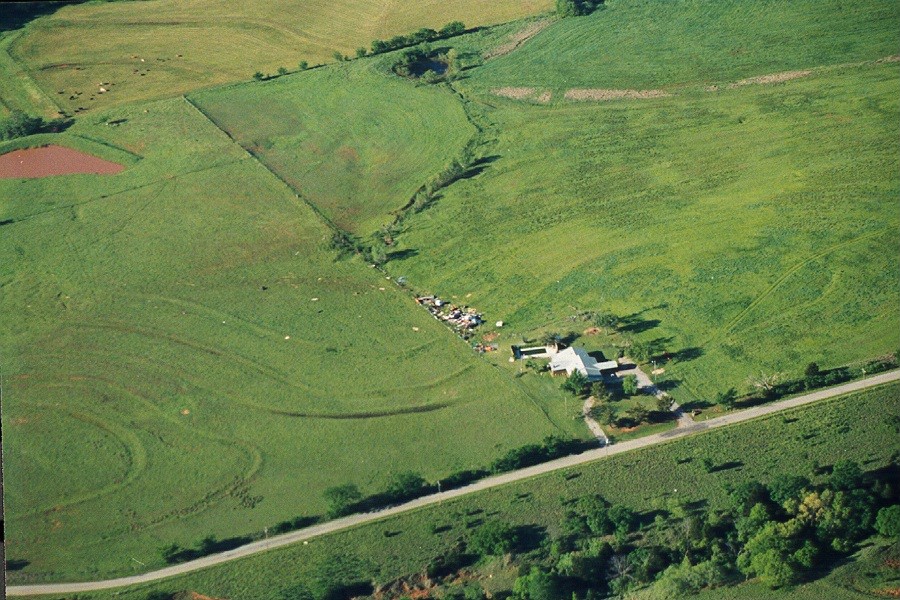 |
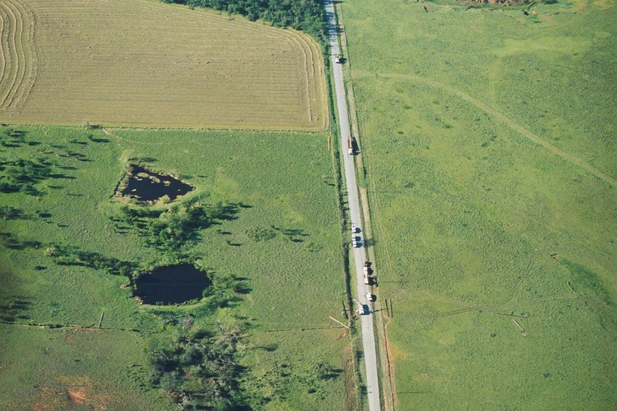 |
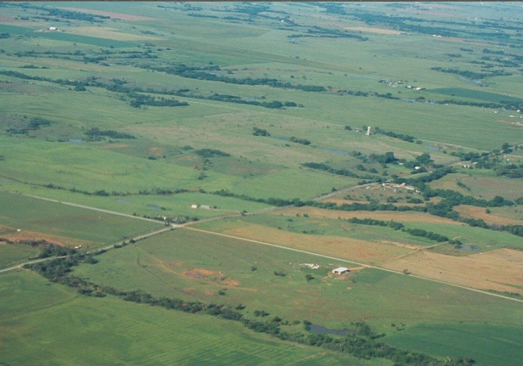 |
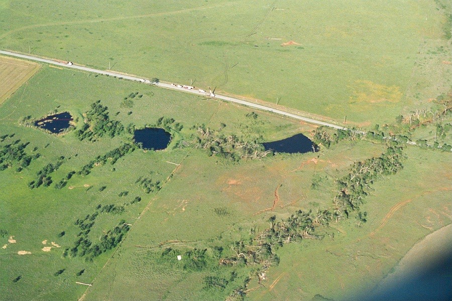 |
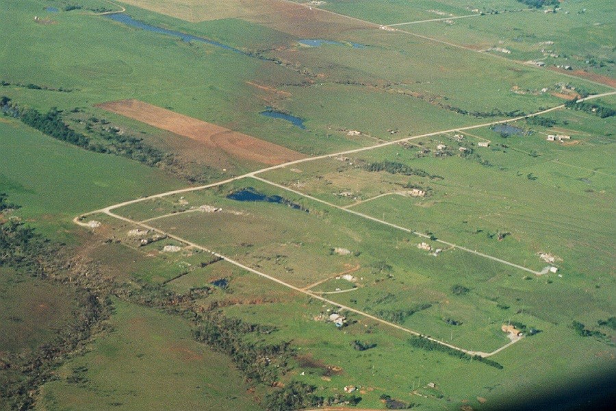 |
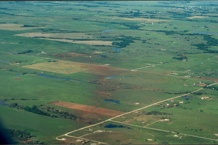 |
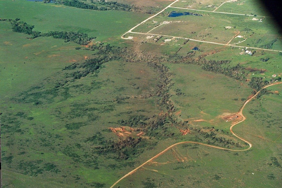 |
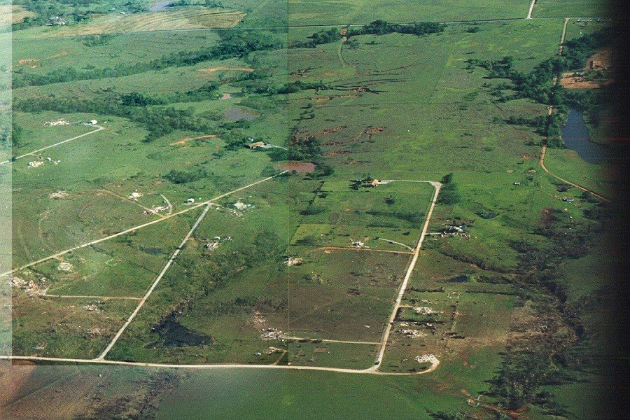 |
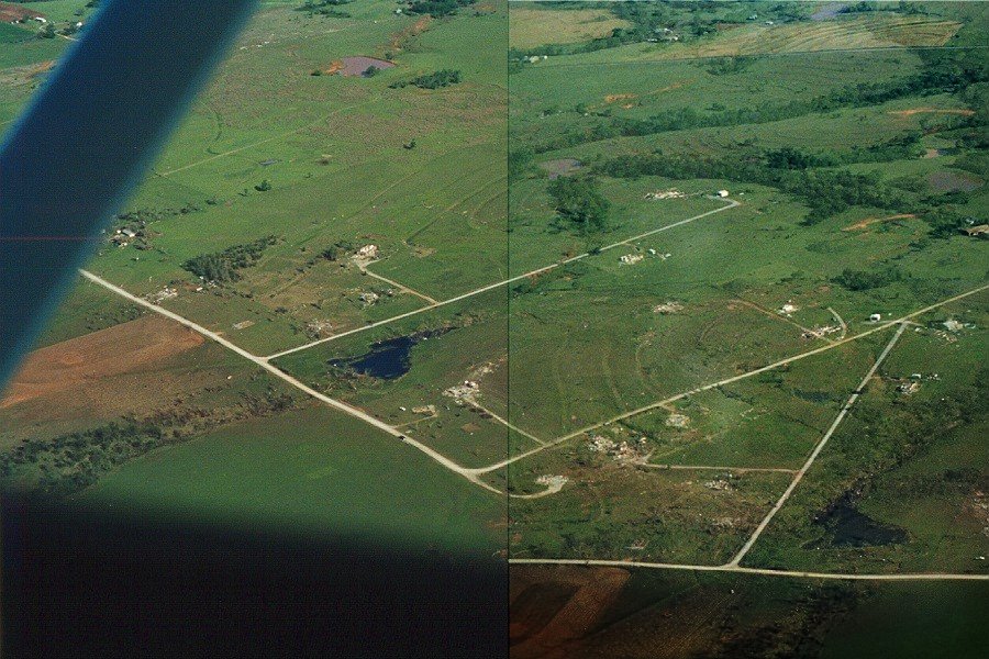 |
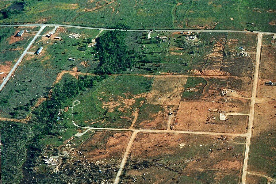 |
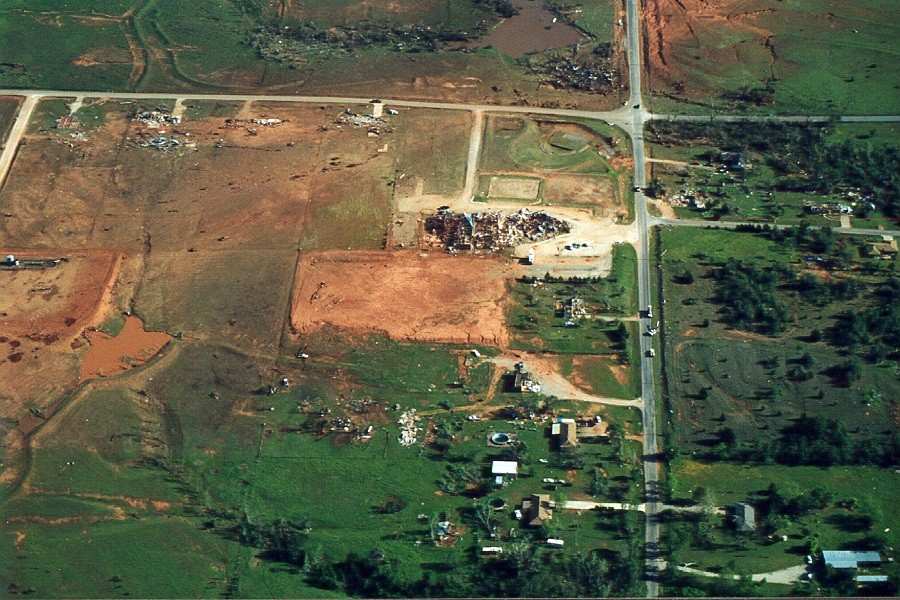 |
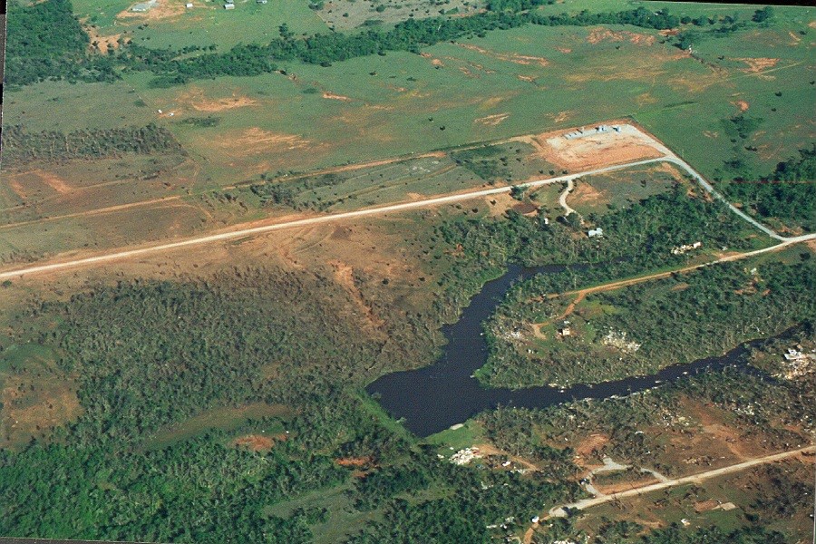 |
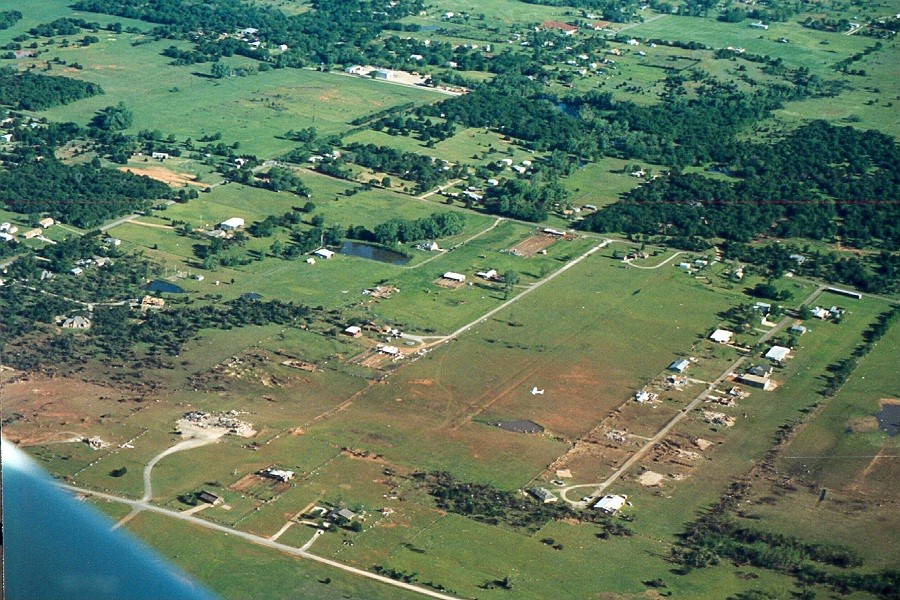 |
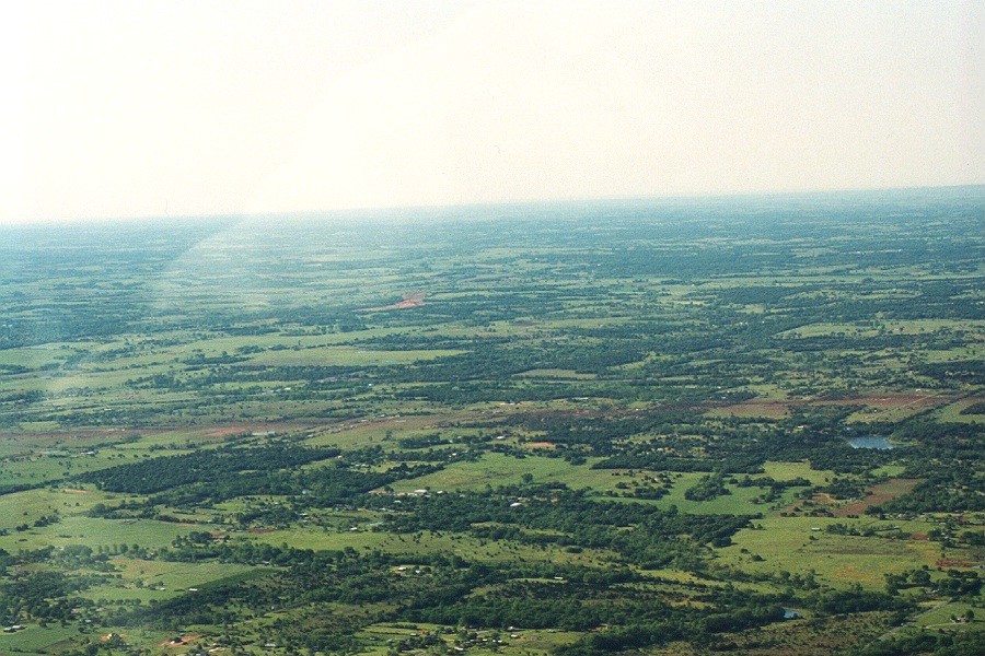 |
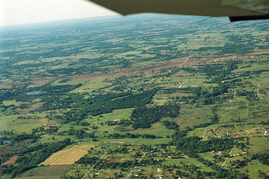 |
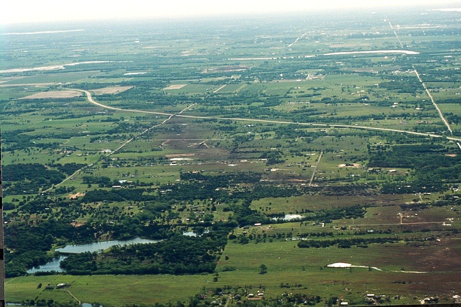 |
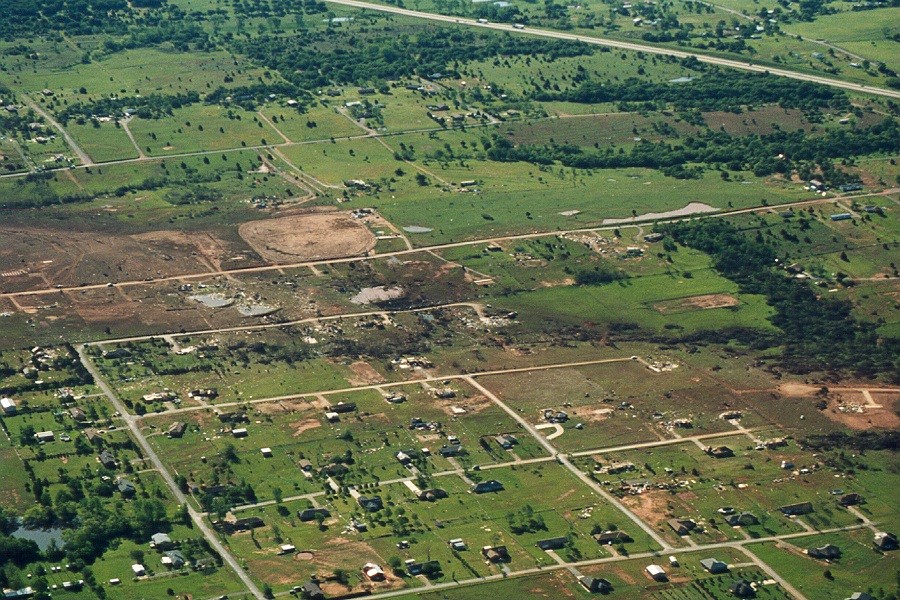 |
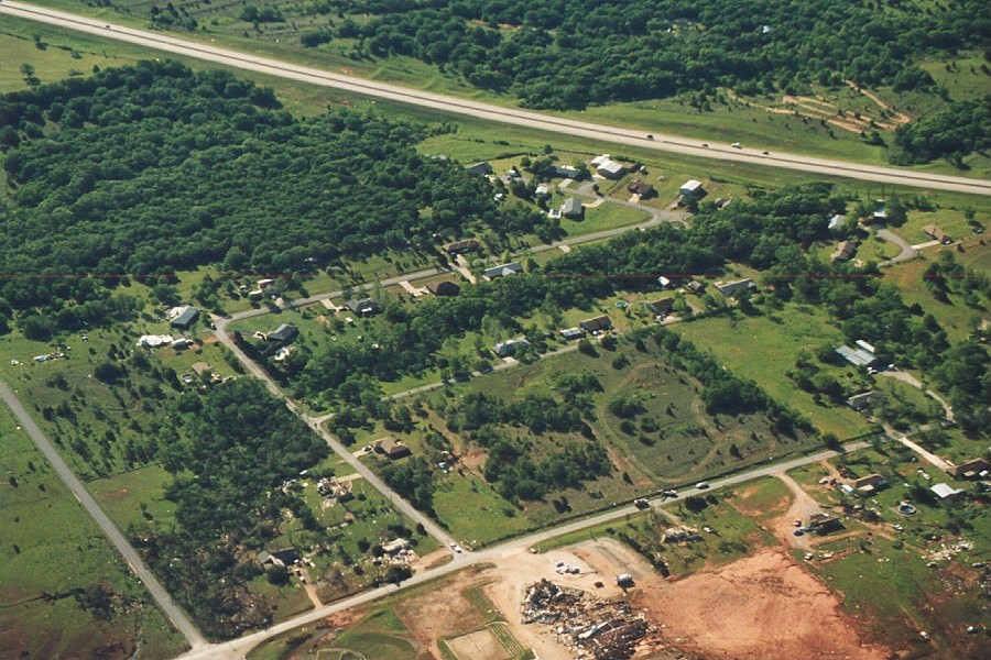 |
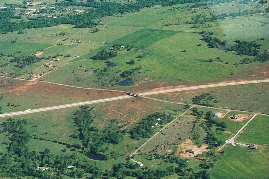 |
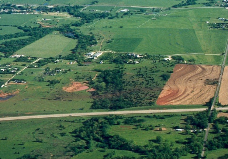 |
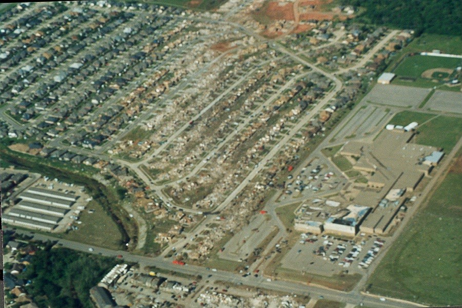 |
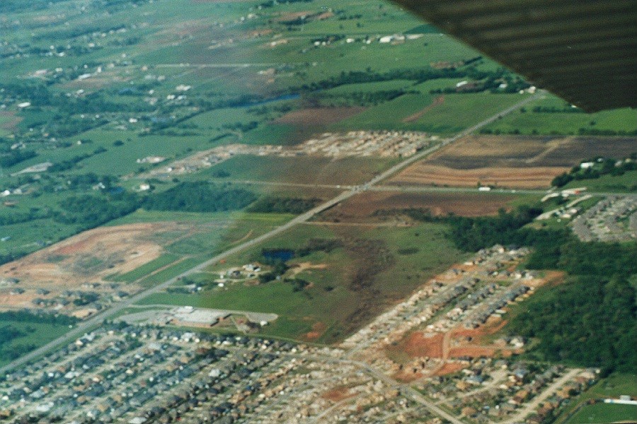 |
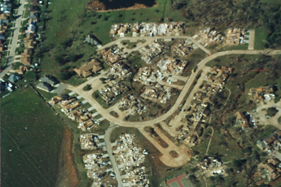 |
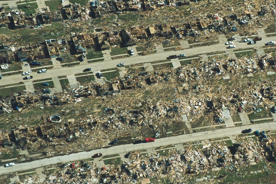 |
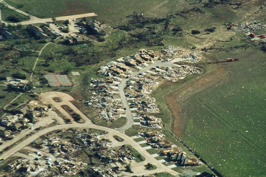 |
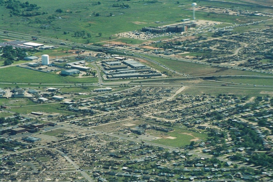 |
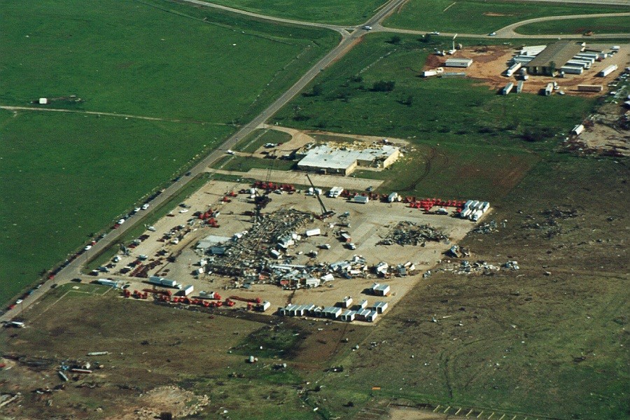 |
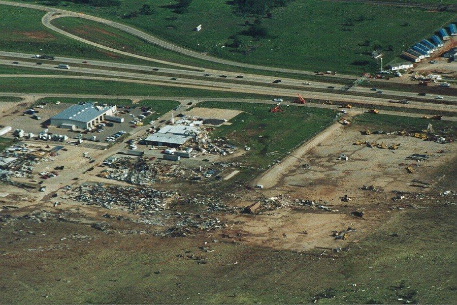 |
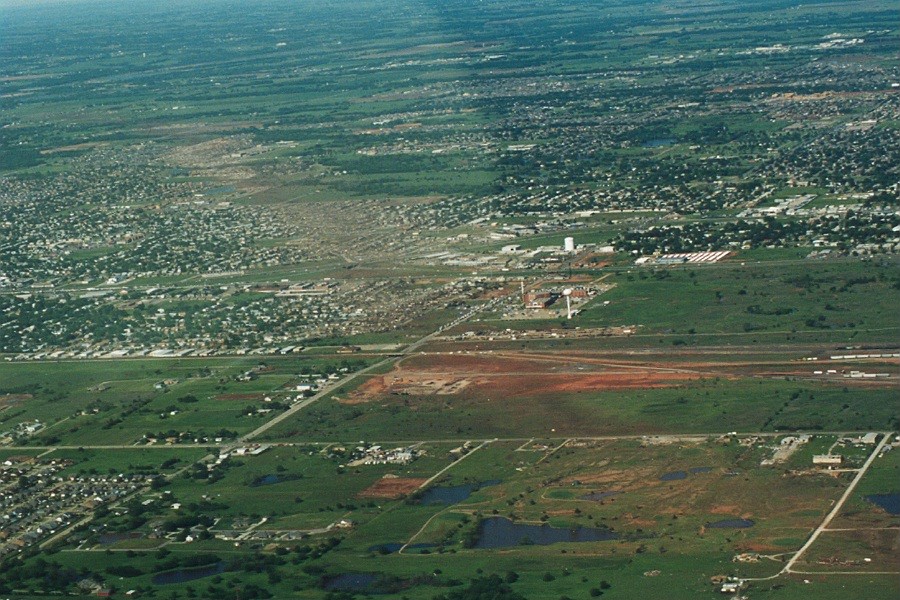 |
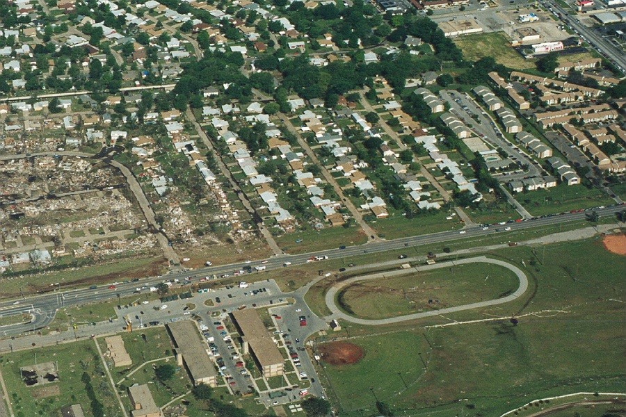 |
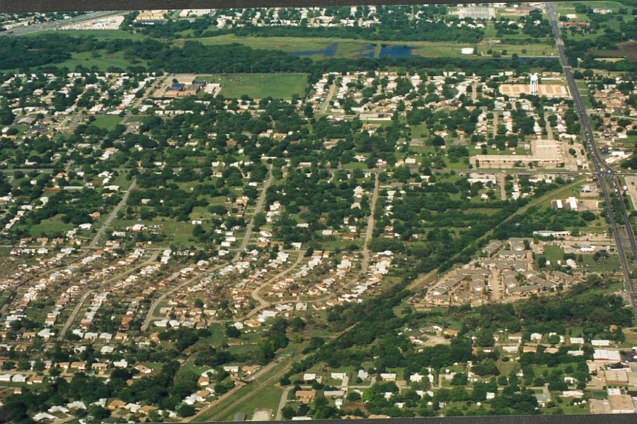 |
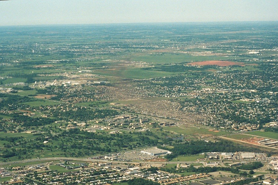 |
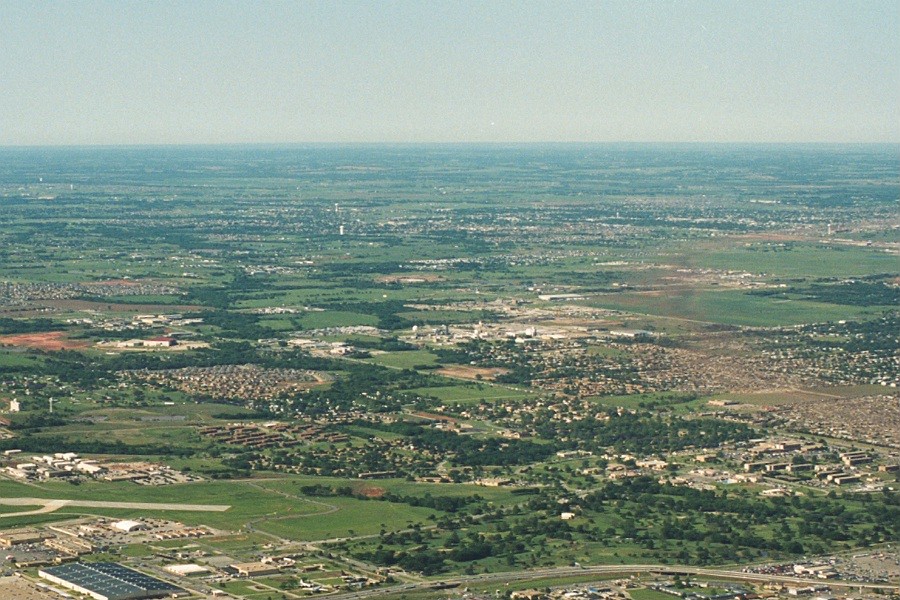 |
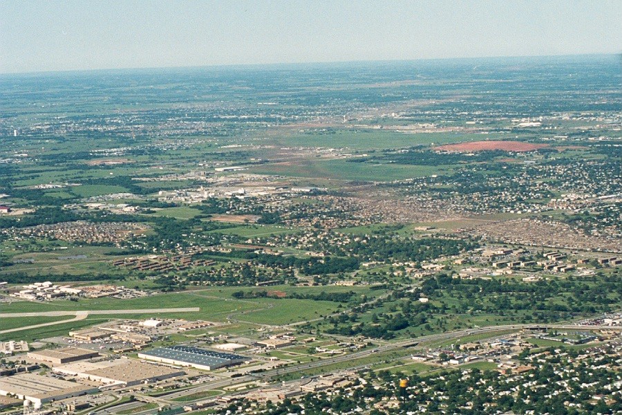 |
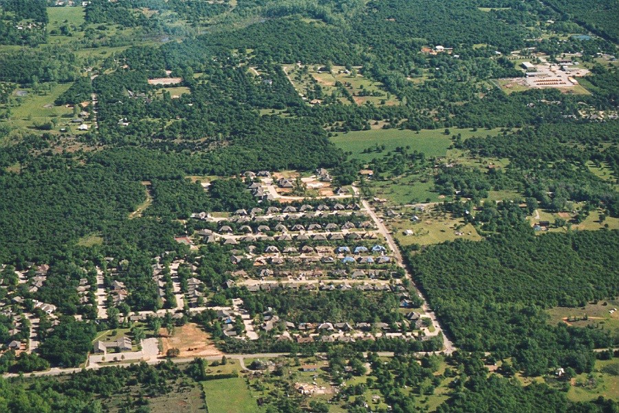 |
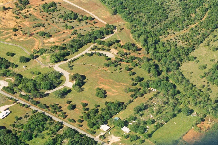 |
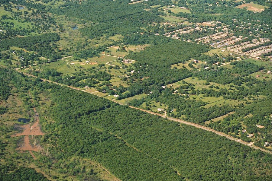 |
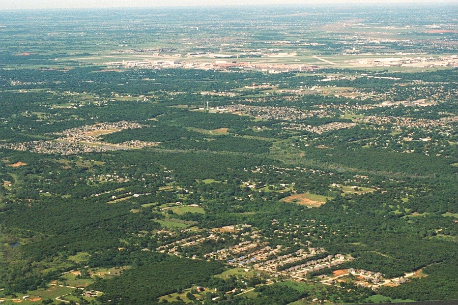 |
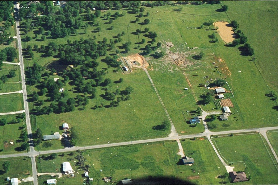 |
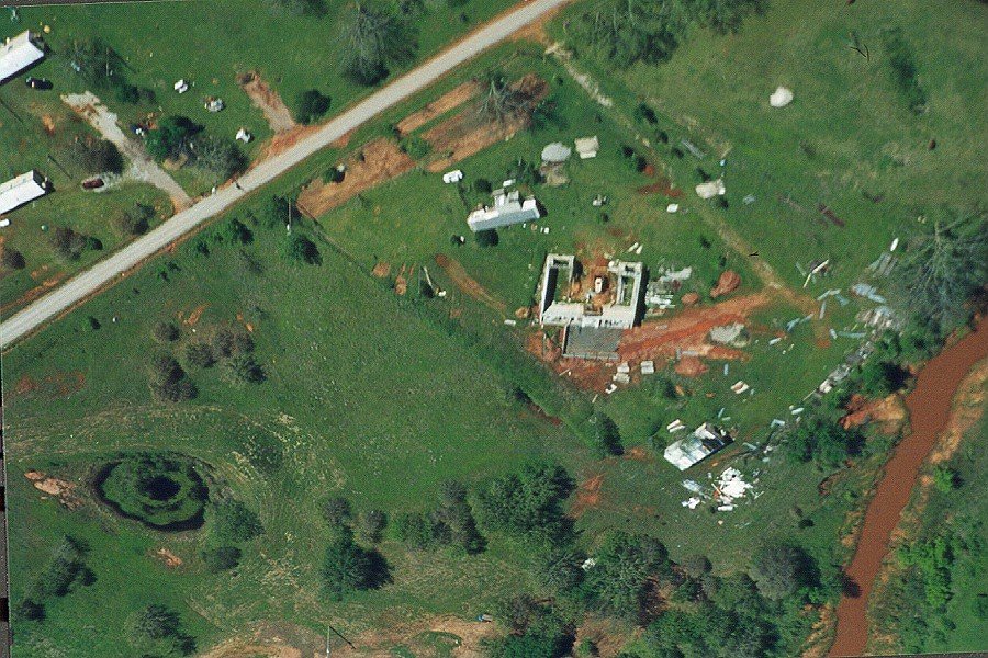 |
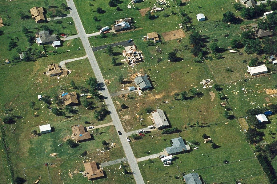 |
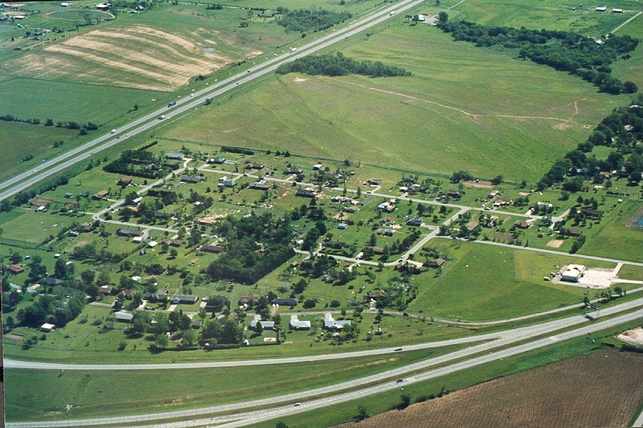 |
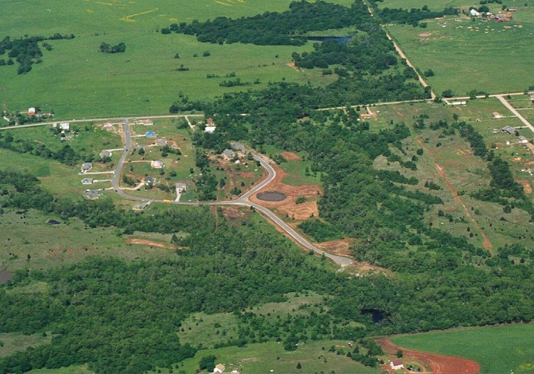 |
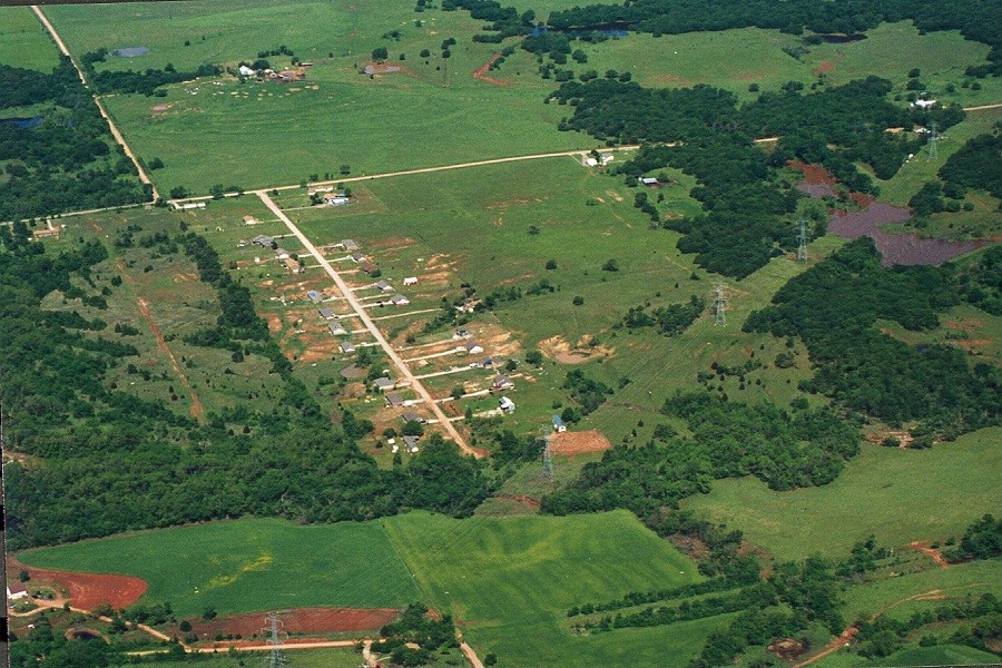 |
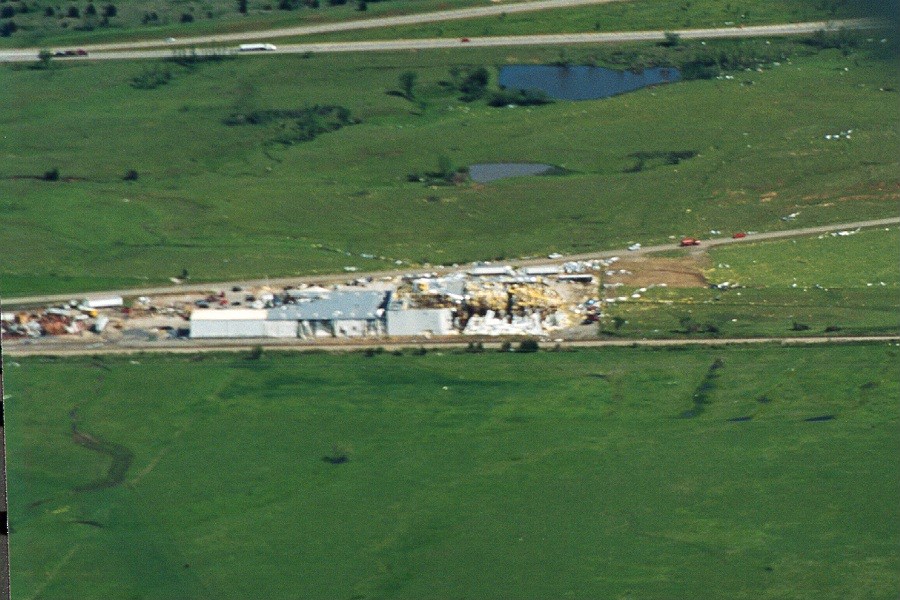 |
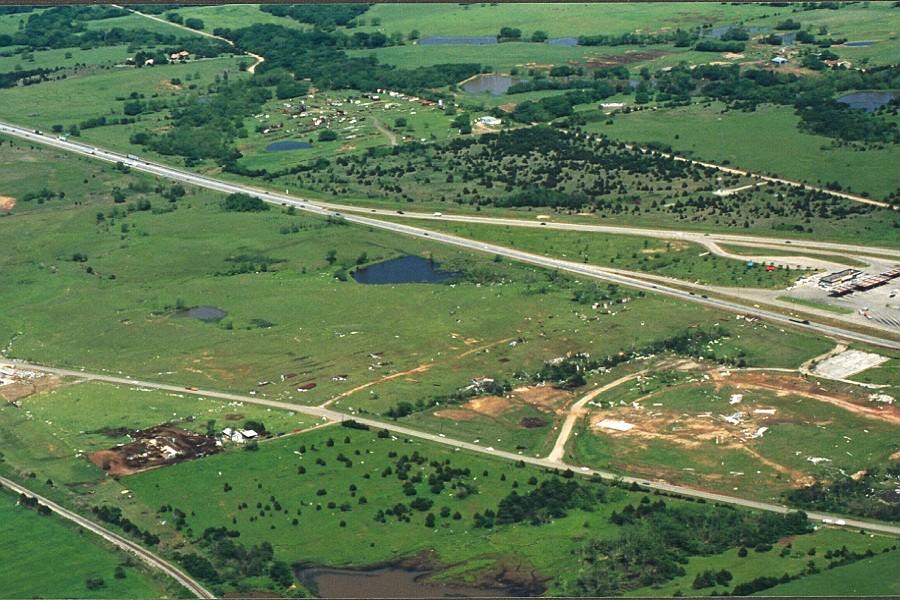 |
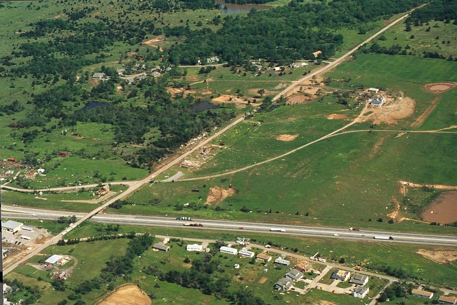 |
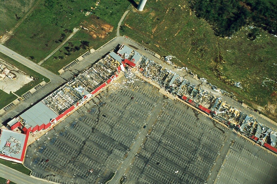 |
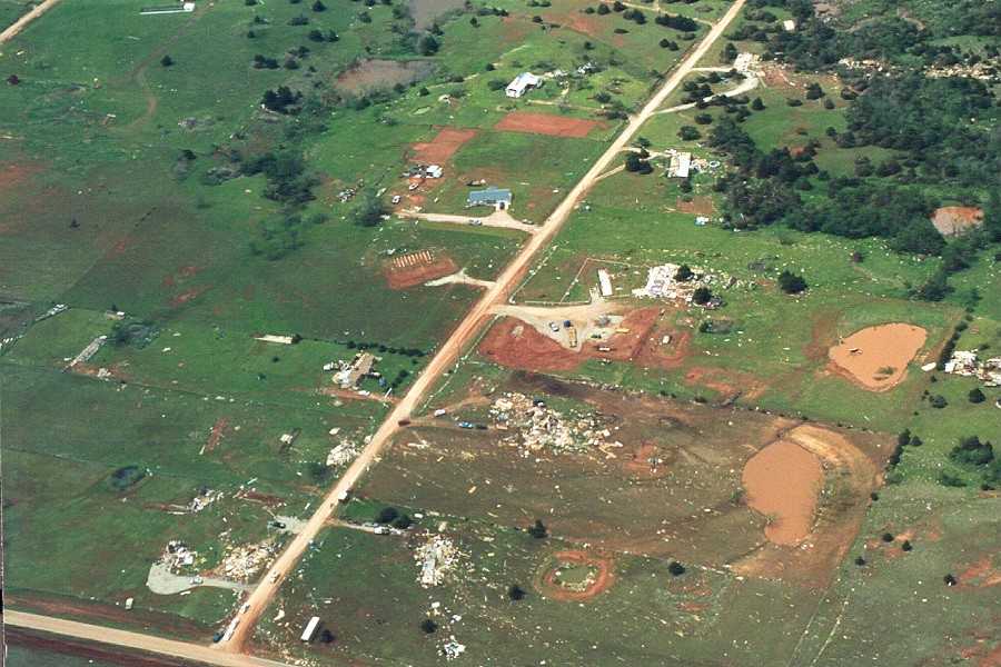 |
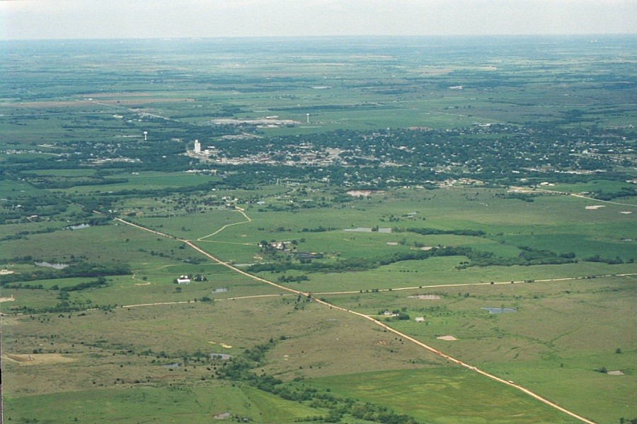 |
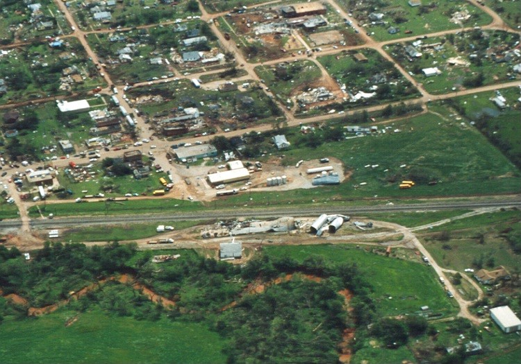 |
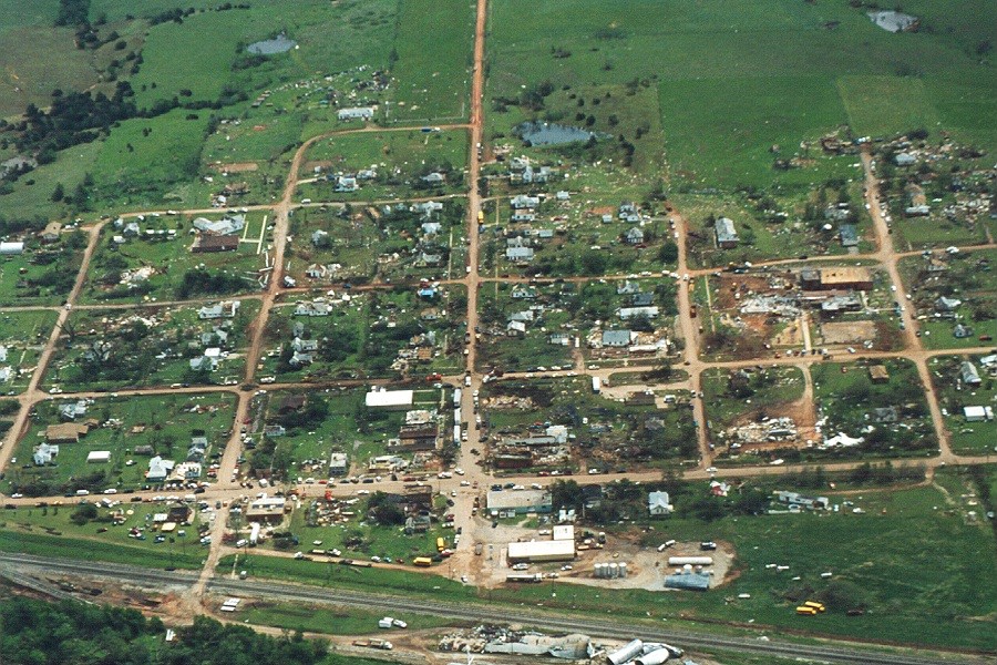 |
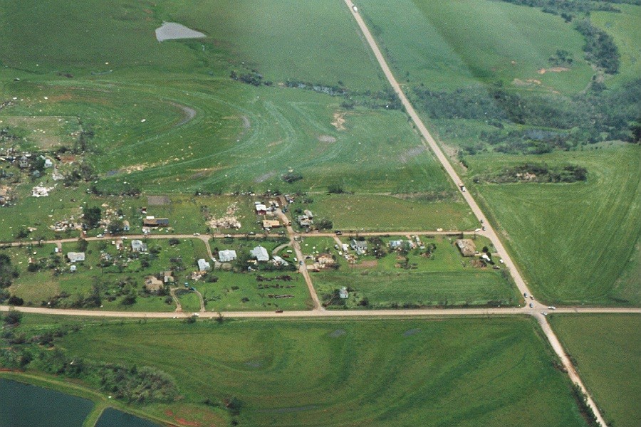 |
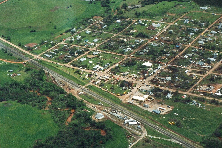 |
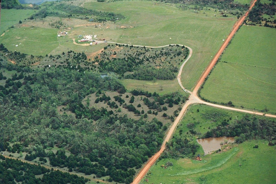 |
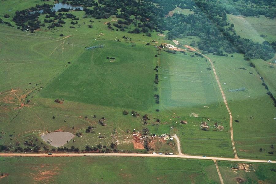 |
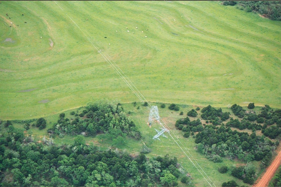 |
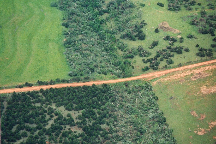 |
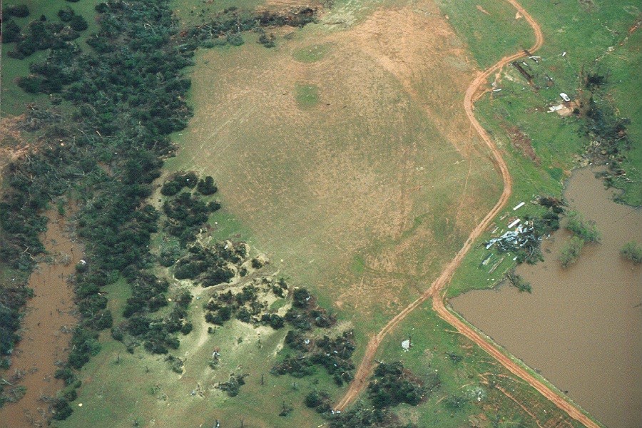 |
 |
 |
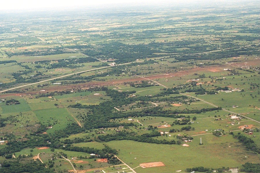 |
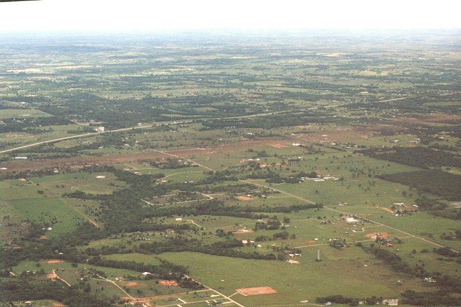 |
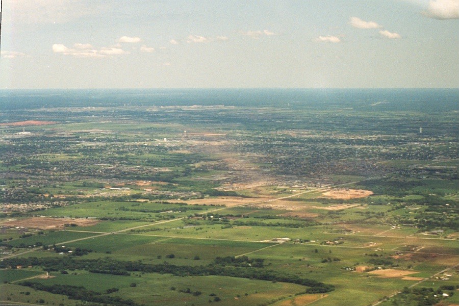 |
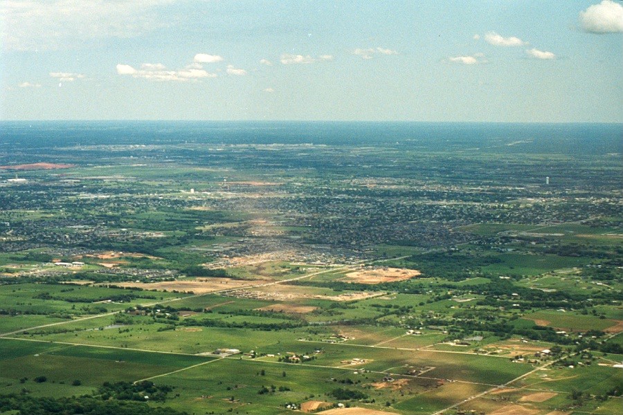 |
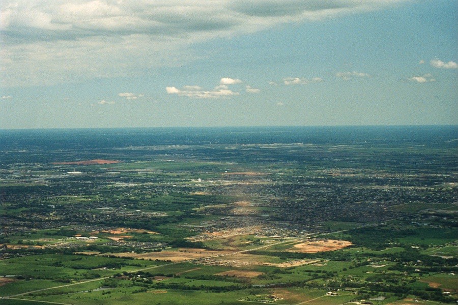 |
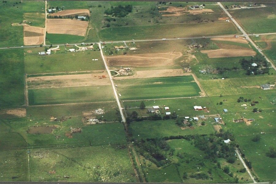 |
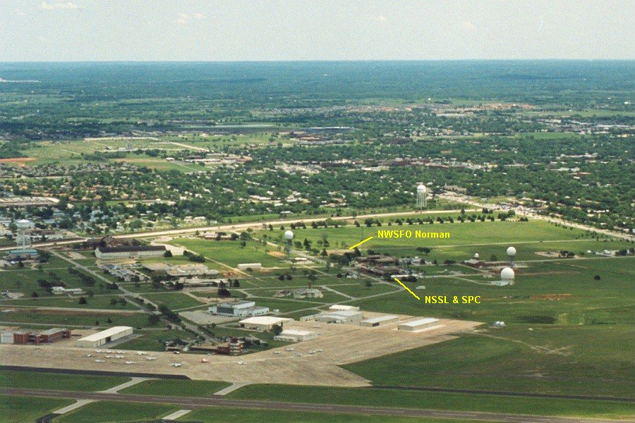 |
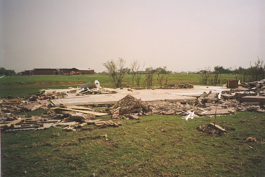 |
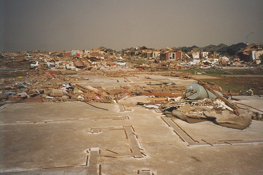 |
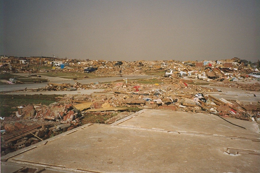 |
 |
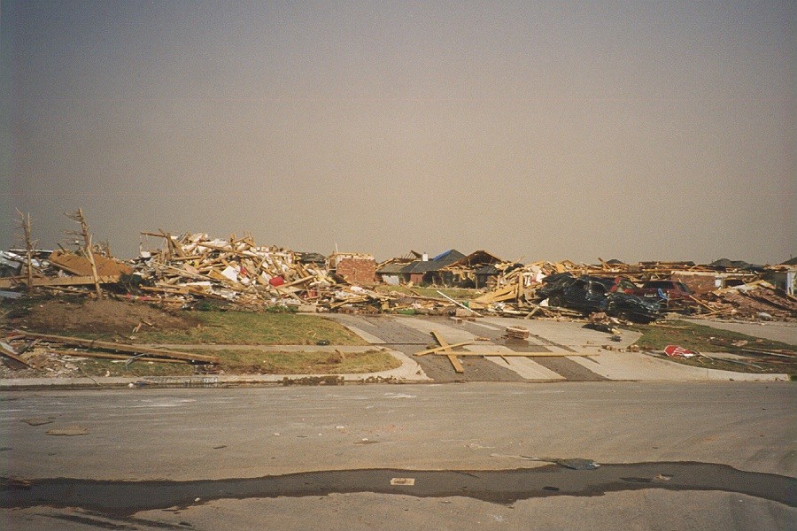 |
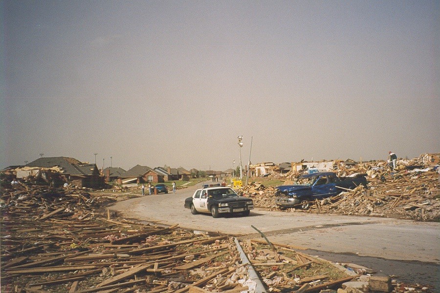 |
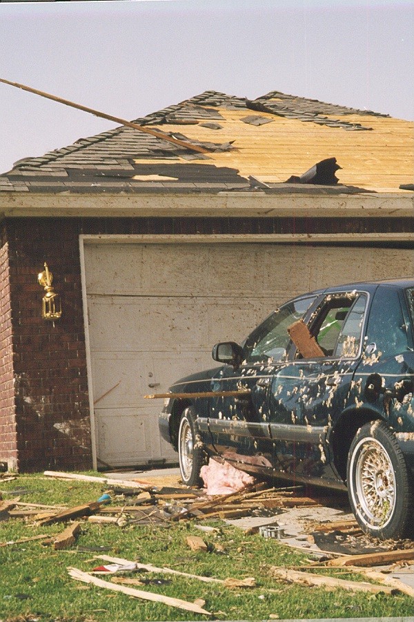 |
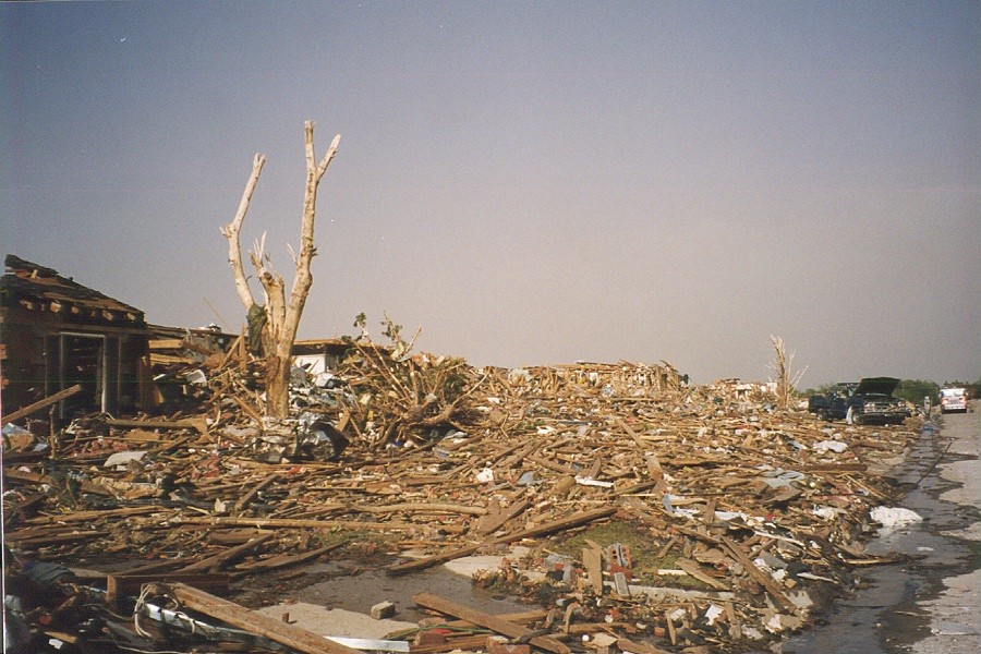 |
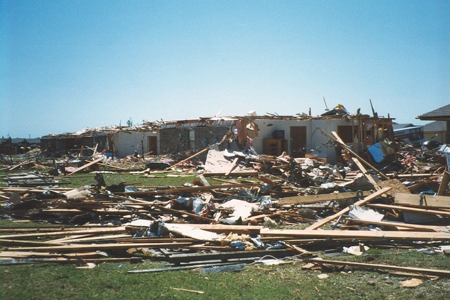 |
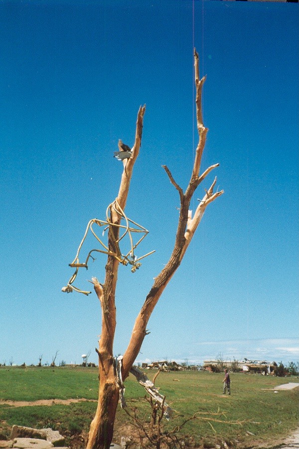 |
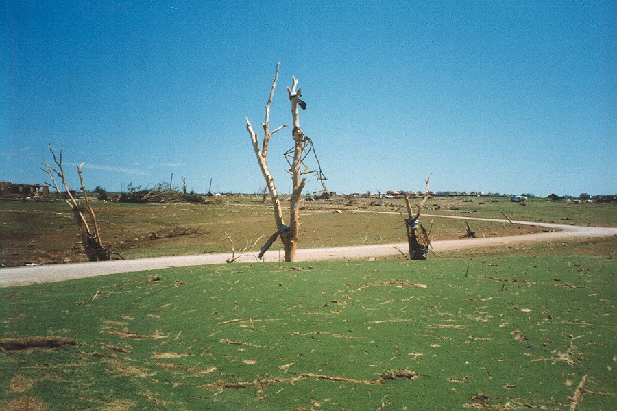 |
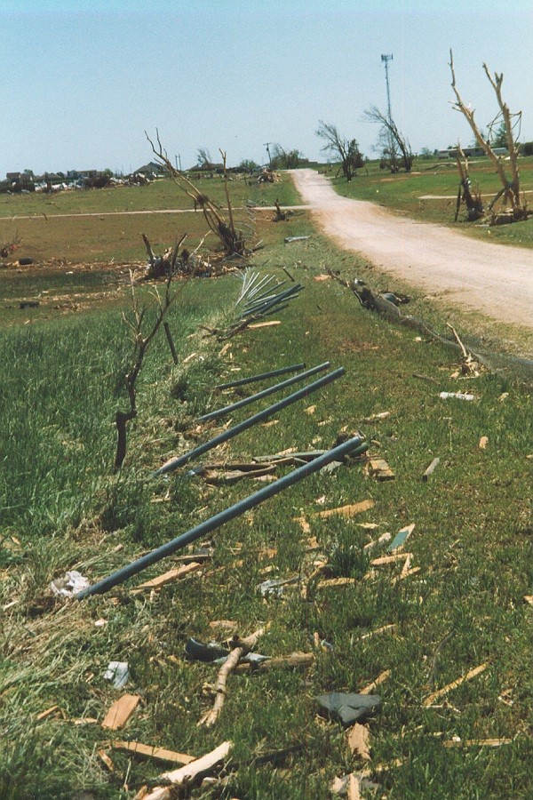 |
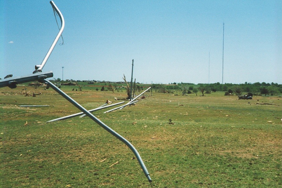 |
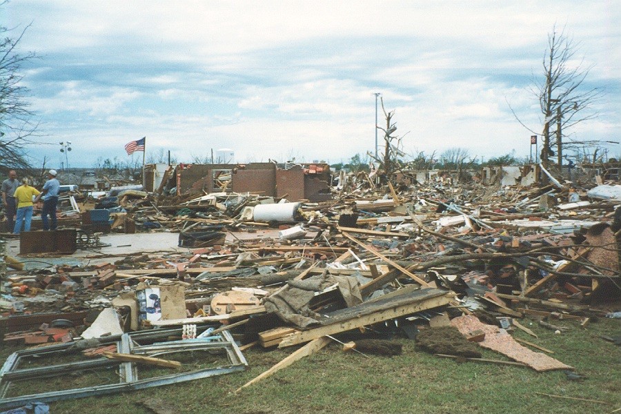 |
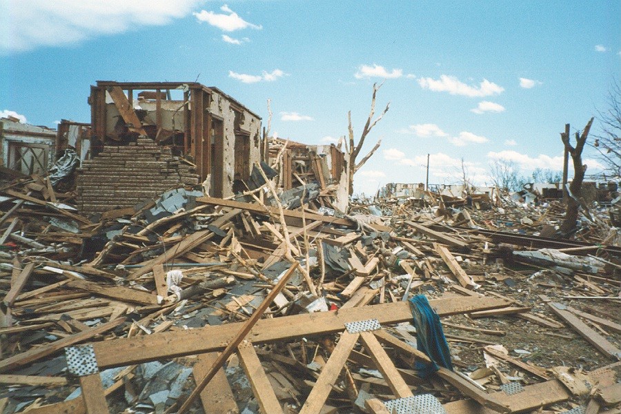 |
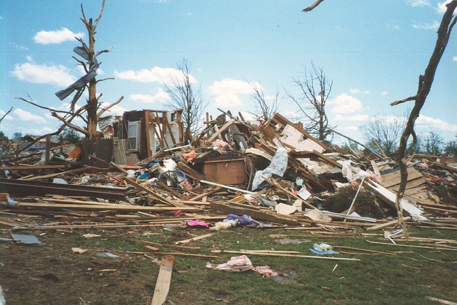 |
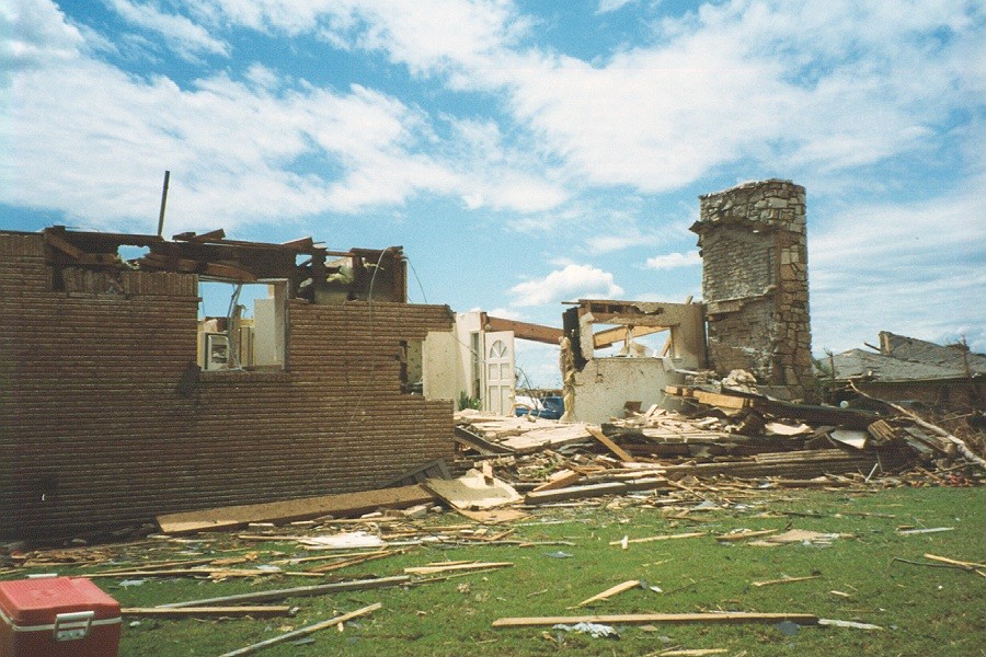 |
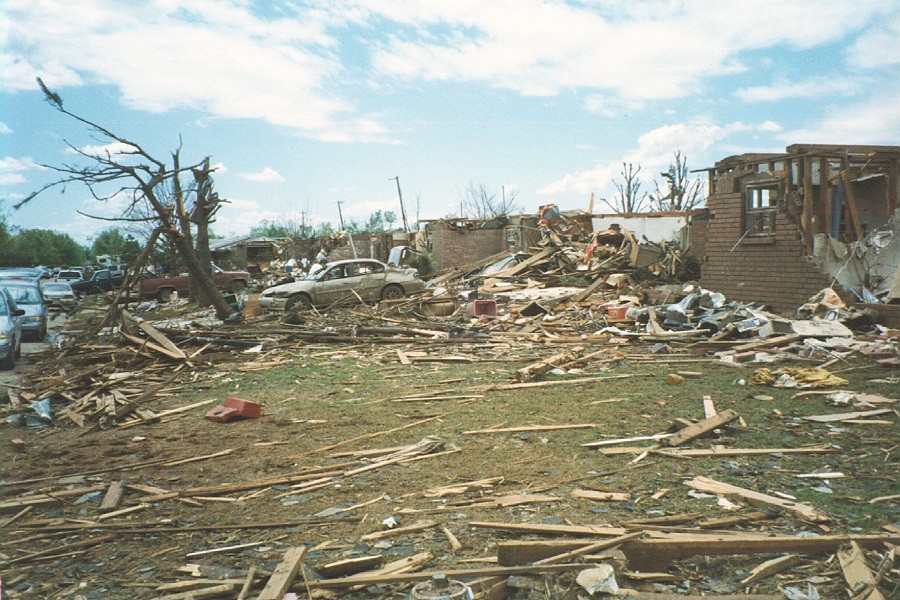 |
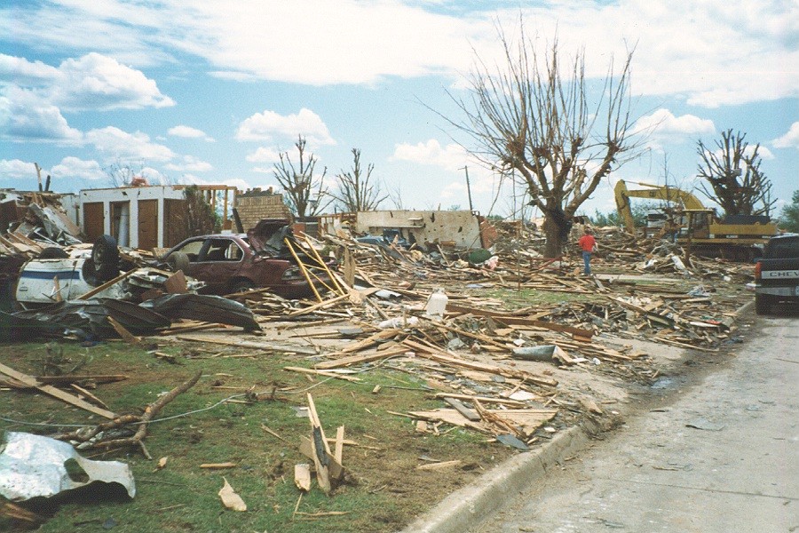 |
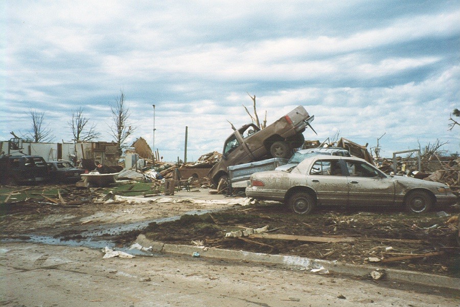 |
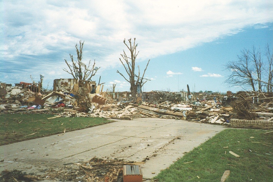 |
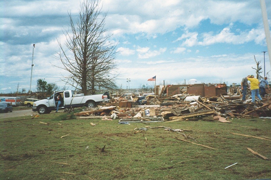 |
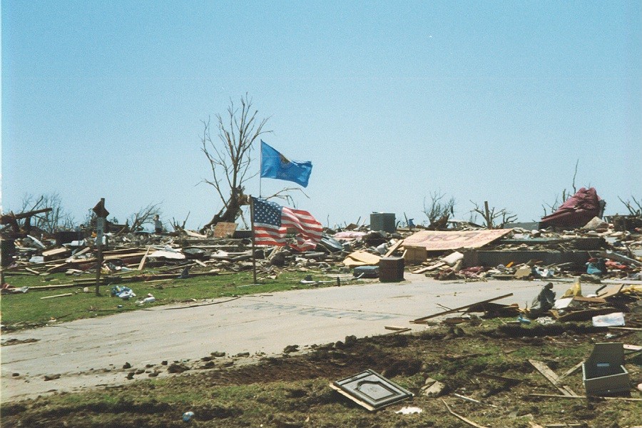 |
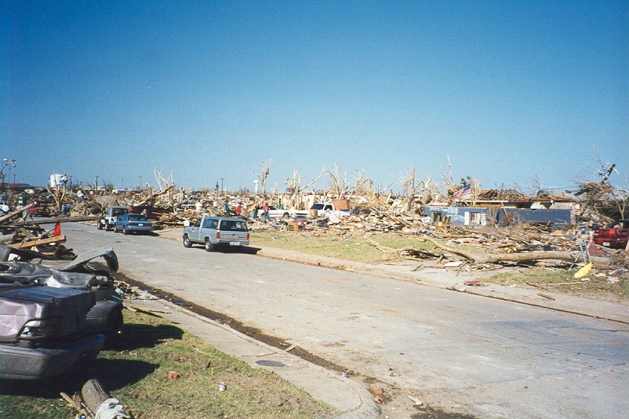 |
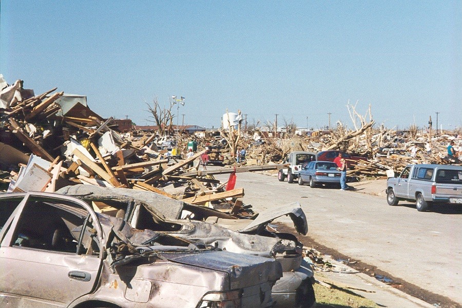 |
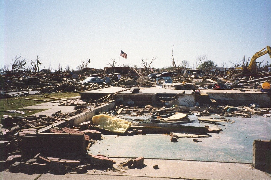 |
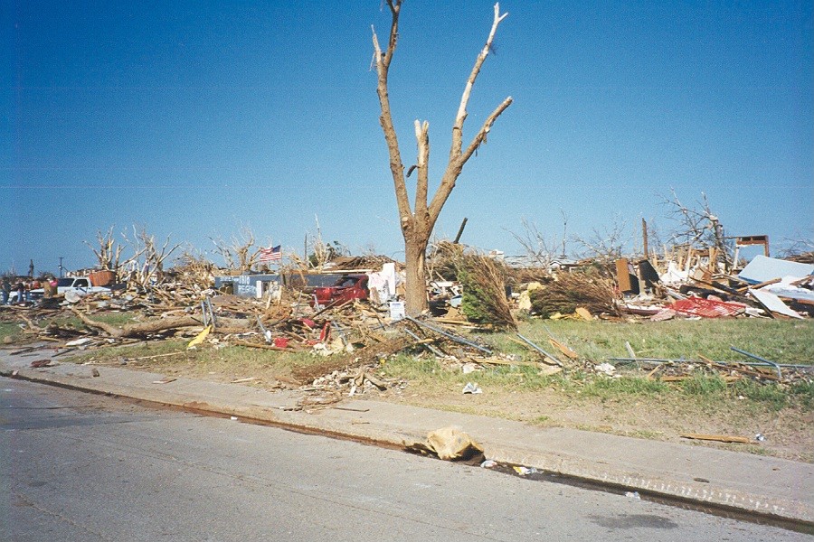 |
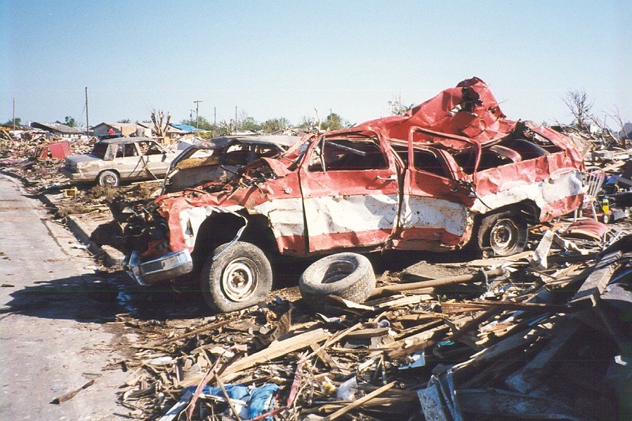 |
 |
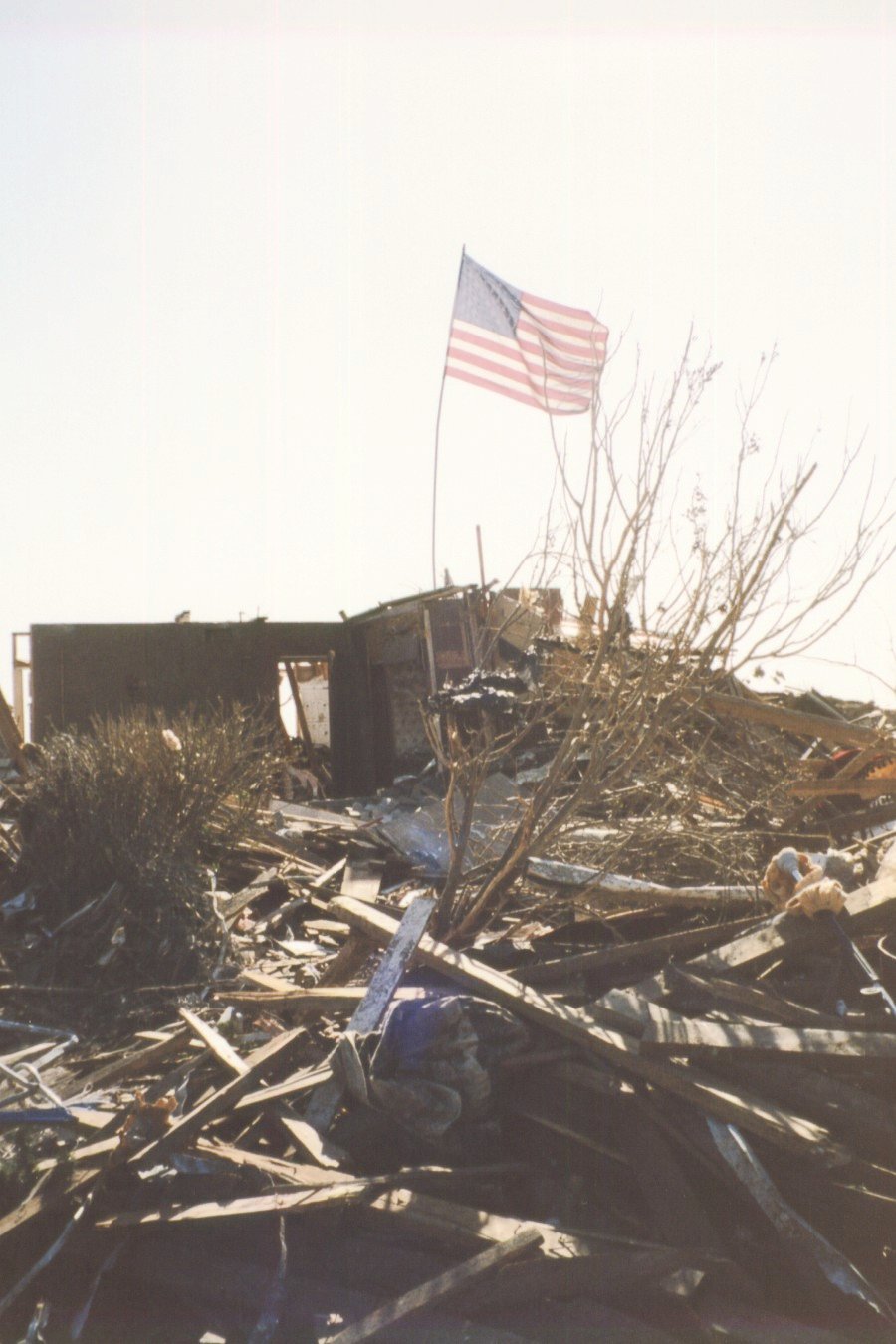 |
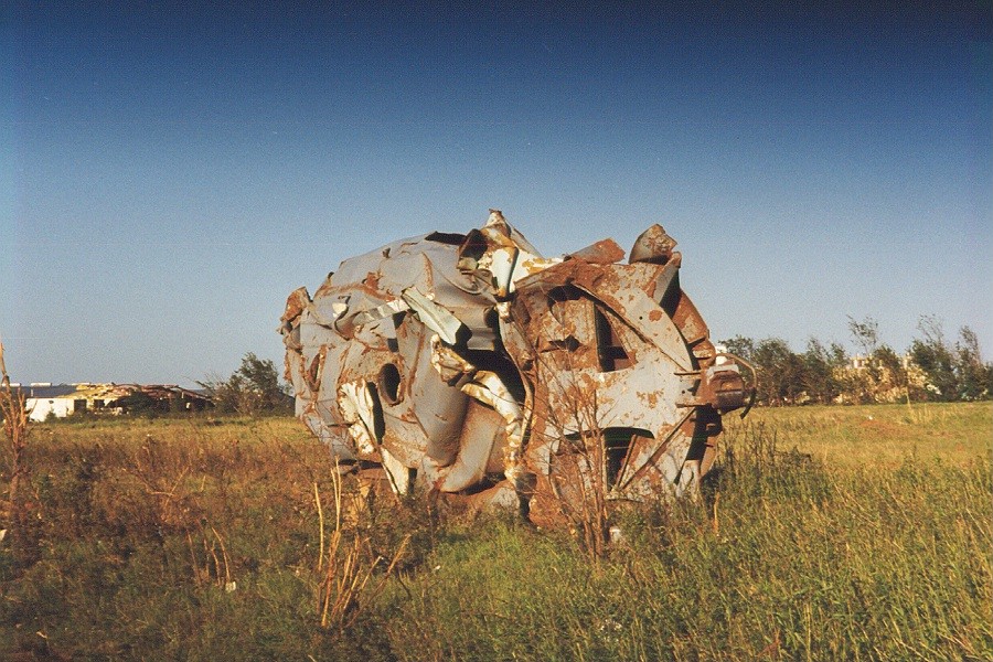 |
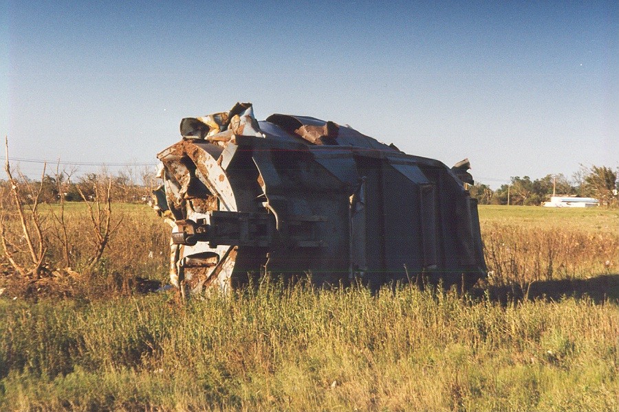 |
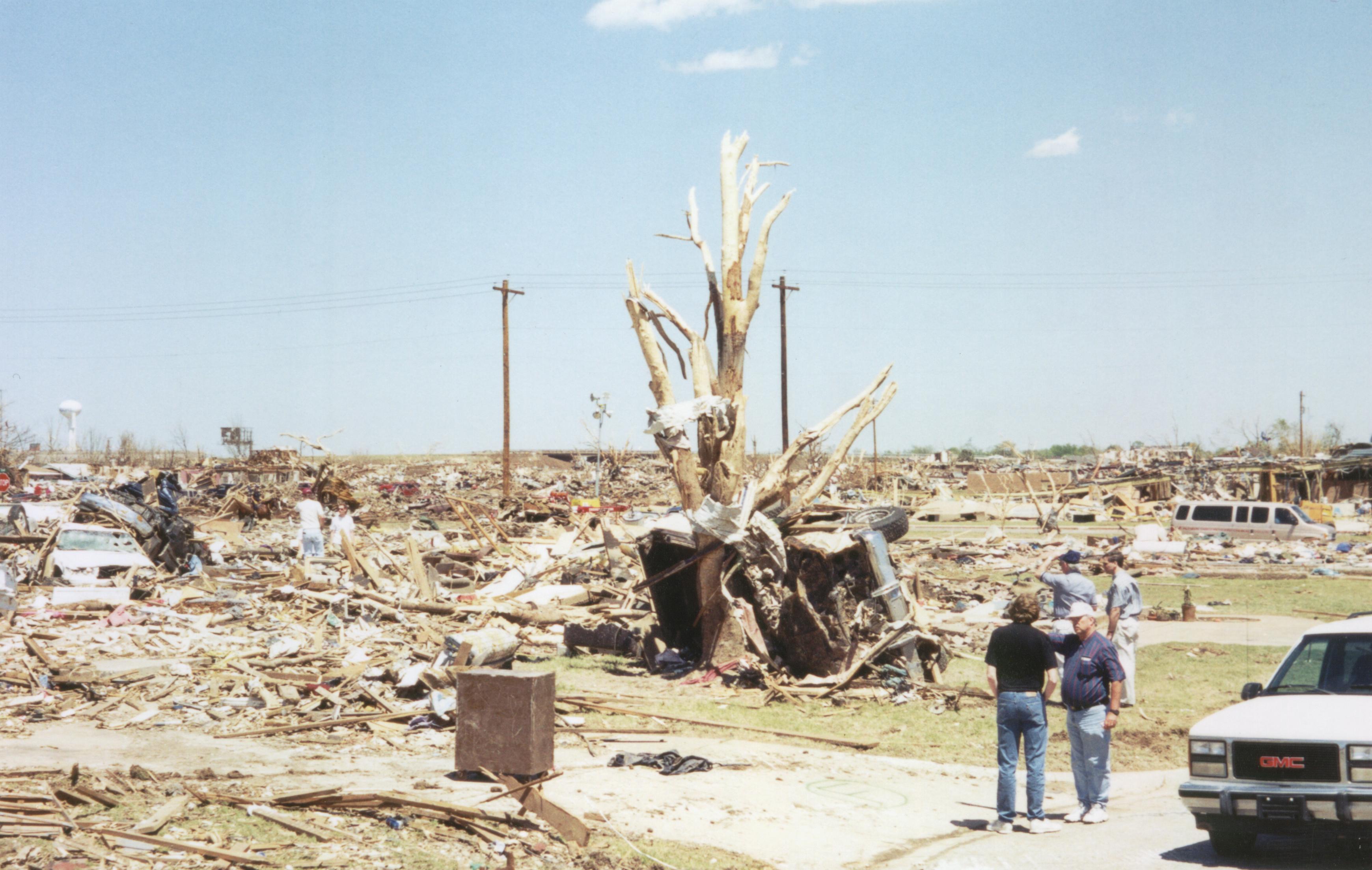 |
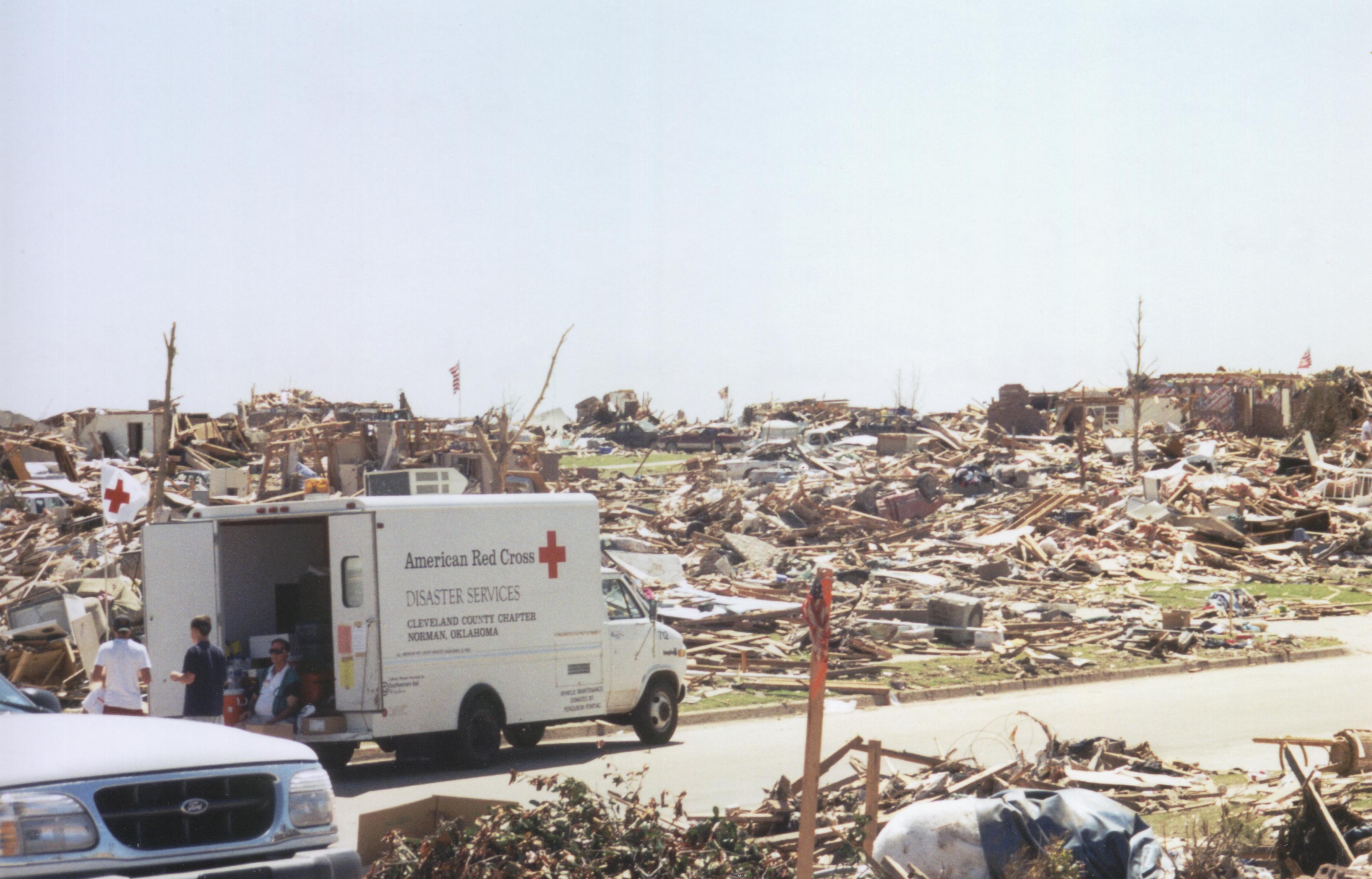 |
 |
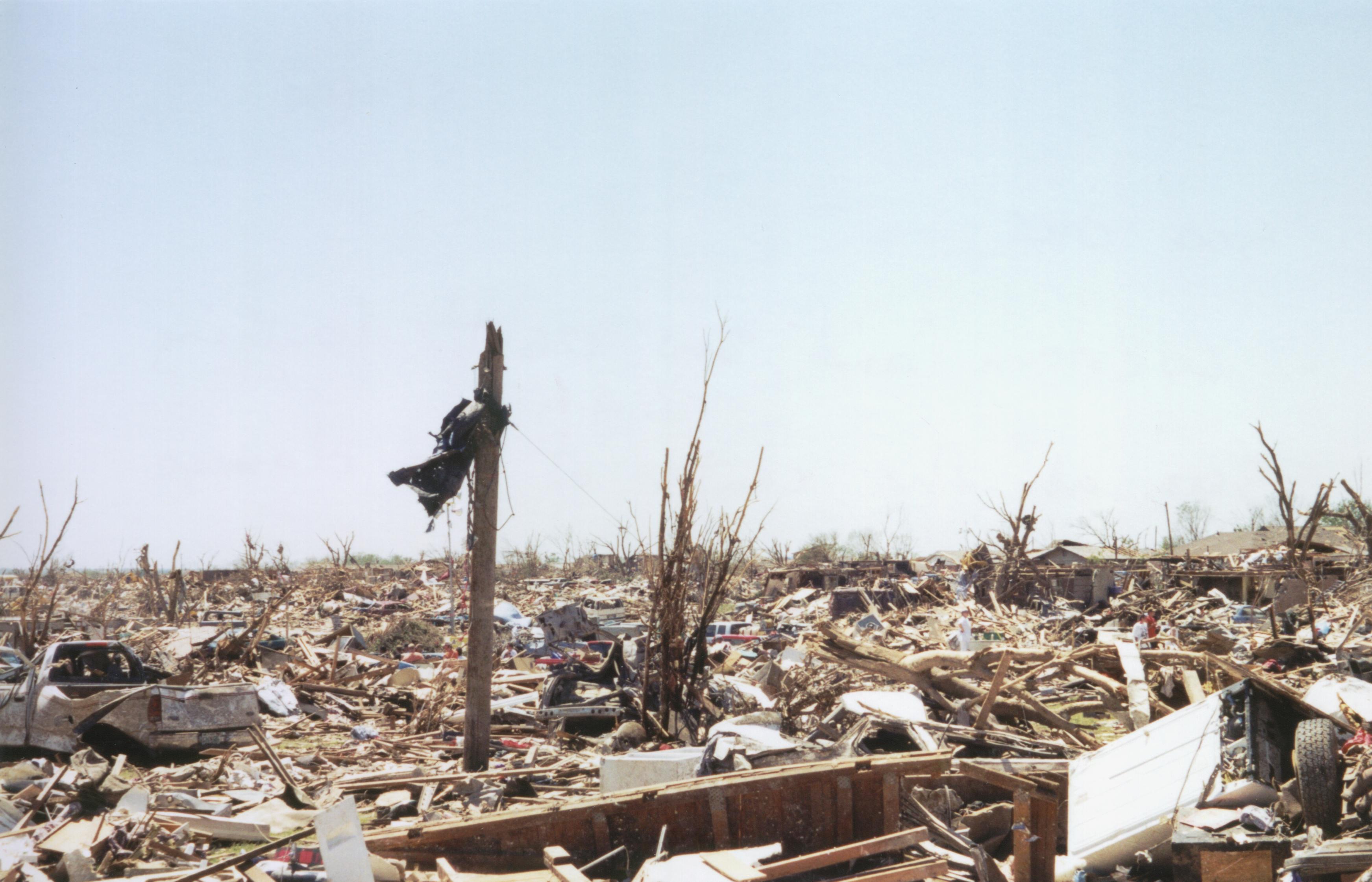 |
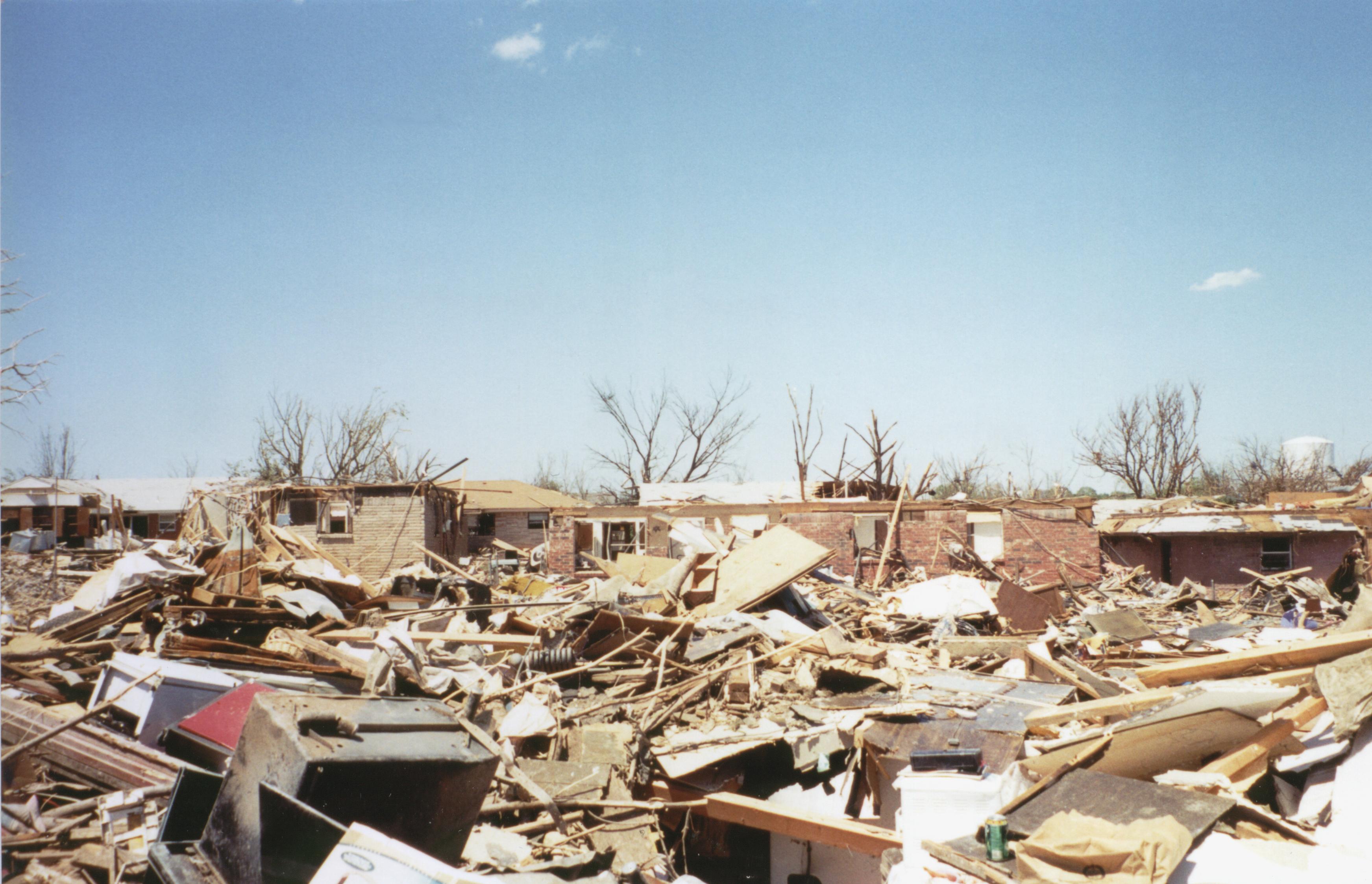 |
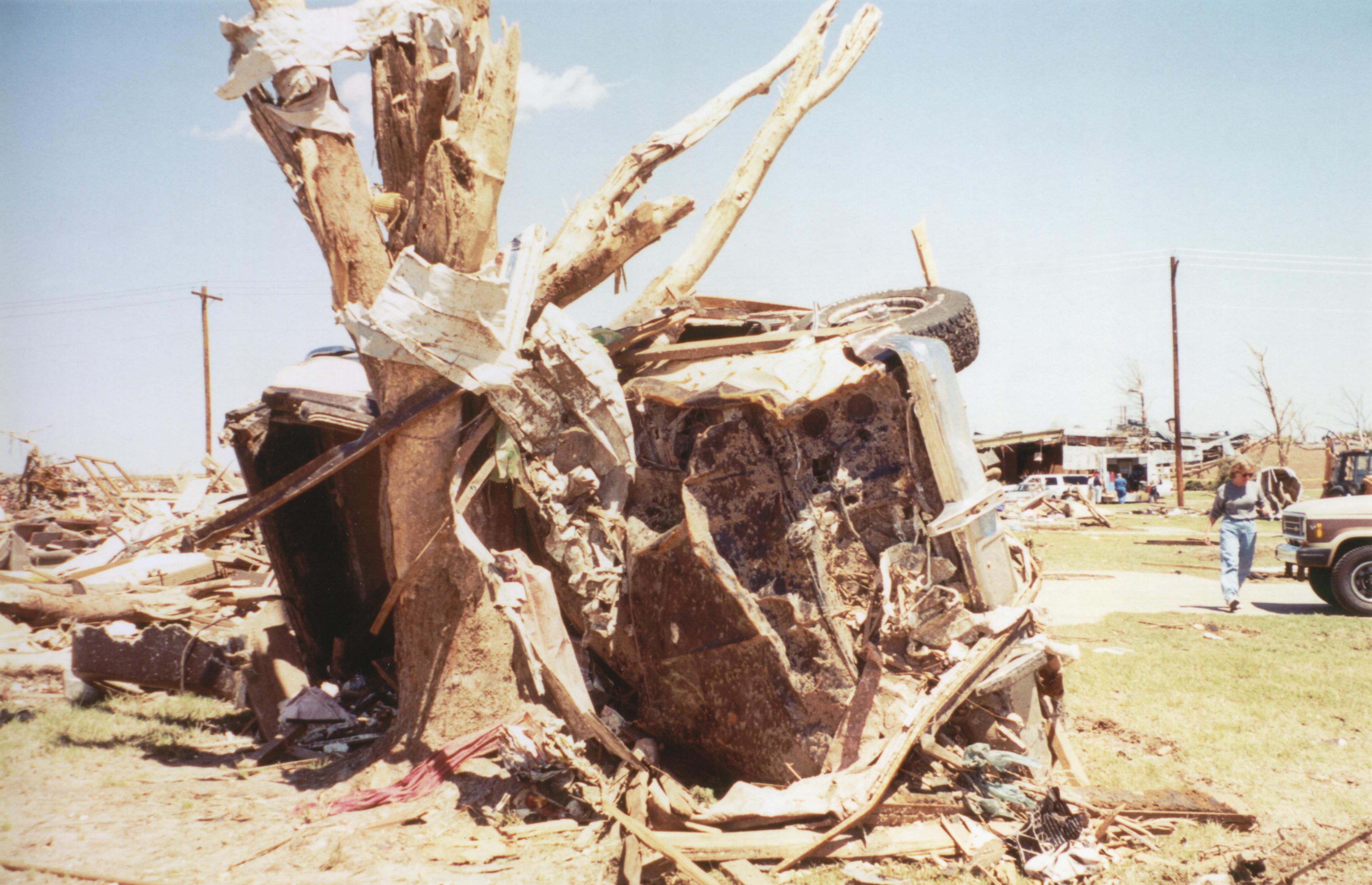 |


This web page includes an outline from a talk that was originally presented at the 24th annual meeting of the National Weather Association. The meeting was held at the Capri Crown Plaza Resort in Biloxi, MS from October 15-22, 1999. The presenter was Dan Miller, the lead author and former forecaster at the National Weather Service Forecast Office in Norman, OK.
A reproduction of the original presentation can be found at: https://www.weather.gov/oun/safety-overpass
| Slide 1 | Introduction and Abstract |
|---|---|
| Slide 2 | Associated Press Photo |
| Slide 3 | A Brief History |
| Slide 4 | Schematic of the Kansas Turnpike Video from 4/26/1991 |
| Slide 5 | Events in Oklahoma on 3 May 1999 |
| Slide 6 | Meteorological Reasons Why Highway Overpasses Are Inadequate Tornado Sheltering Areas |
| Slide 7 | 16th Street Overpass – Newcastle, Oklahoma |
| Slide 8 | Shields Boulevard Overpass - Moore Part I |
| Slide 9 | Shields Boulevard Overpass - Moore Part II |
| Slide 10 | The Crescent/Mulhall/Perry Tornado |
| Slide 11 | A Tornado and an Overpass - What is Reality? |
| Slide 12 | Misconception of Tornadic Winds - Part I |
| Slide 13 | Misconception of Tornadic Winds - Part II |
| Slide 14 | A More Realistic Conception of Tornadic Winds - Part I |
| Slide 15 | A More Realistic Conception of Tornadic Winds - Part II |
| Slide 16 | Other Severe Weather Threats in Addition to Tornadoes |
| Slide 17 | Examples of Other Severe Weather Threats - Gainesville TX – 26 April 1994 and Jarrell TX – 27 May 1997 |
| Slide 18 | Examples of Other Severe Weather Threats - Lancaster TX – 25 April 1994 |
| Slide 19 | Examples of Other Severe Weather Threats - Minneapolis/St. Paul Hail/Windstorm and Flash Flood – 1 July 1997 |
| Slide 20 | How Can Meteorologists Assist in Solving This Problem? |
| Slide 21 | Current Safety Guidelines for Well Constructed Buildings are Extremely Effective |
| Slide 22 | Close Examination of the Current Open-Country Safety Guidelines |
| Slide 23 | Non-Meteorological Reasons Why Highway Overpasses Are Dangerous Severe Storm and Tornado Sheltering Areas |
| Slide 24 | How Do We Minimize the Use of Overpasses as Sheltering Areas? |
| Slide 25 | Acknowledgments |
