
A late season winter storm will produce a combination of heavy snow and disruptive ice starting this evening in the Northern Plains and moving into the Upper Midwest and Great Lakes by tonight continuing through Thursday. Severe thunderstorms will likely produce severe wind gusts, large hail, a few tornadoes, and heavy rainfall across the southern and central Plains today. Read More >
Click on any of the stations on the map below to get the latest weather conditions, and the last 3 days of observations. The locations are given by their three character identifier. For a list of identifiers by their station name, reference the chart below the map.

| Station Names | |||
|---|---|---|---|
| Central and Western Oklahoma | |||
| Abbrev. | Full Station Name | Abbrev. | Full Station Name |
| 1F0 | Ardmore Downtown Executive Airport | HBR | Hobart Municipal Airport (Hobart, OK) |
| ADH | Ada Municipal Airport (Ada, OK) | HSD | Sundance Airport (Oklahoma City, OK) |
| ADM | Ardmore Municipal Airport (Ardmore, OK) | JWG | Watonga Airport (Watonga, OK) |
| AVK | Alva Regional Airport (Alva, OK) | LAW | Lawton-Fort Sill Regional Airport (Lawton, OK) |
| AXS | Altus/Quartz Mountain Regional Airport | LTS | Altus Air Force Base (Altus, OK) |
| BKN | Blackwell-Tonkawa Municipal Airport | OJA | Thomas P. Stafford Airport (Weatherford, OK) |
| CHK | Chickasha Municipal Airport (Chickasha, OK) | OKC | Will Rogers World Airport (Oklahoma City, OK) |
| CLK | Clinton Regional Airport (Clinton, OK) | OUN | Max Westheimer Airport (Norman, OK) |
| CQB | Chandler Municipal Airport (Chandler, OK) | PVJ | Pauls Valley Municipal Airport (Pauls Valley, OK) |
| CSM | Clinton-Sherman Airport (Clinton, OK) | PNC | Ponca City Municipal Airport (Ponca City, OK) |
| CUH | Cushing Municipal Airport (Cushing, OK) | PWA | Wiley Post Airport (Oklahoma City, OK) |
| DUA | Eaker Field Airport (Durant, OK) | RCE | Yukon-Page Municipal Airport (Yukon, OK) |
| DUC | Halliburton Field Airport (Duncan, OK) | RQO | El Reno Regional Airport (El Reno, OK) |
| ELK | Elk City Regional Business Airport (Elk City, OK) | SNL | Shawnee Municipal Airport (Shawnee, OK) |
| END | Vance Air Force Base (Enid, OK) | SRE | Seminole Municipal Airport (Seminole, OK) |
| FDR | Frederick Municipal Airport (Frederick, OK) | SWO | Stillwater Regional Airport (Stillwater, OK) |
| FSI | Henry Post Army Field (Fort Sill, OK) | TIK | Tinker Air Force Base (Oklahoma City, OK) |
| GAG | Gage Airport (Gage, OK) | WDG | Enid Woodring Regional Airport (Enid, OK) |
| GOK | Guthrie Municipal Airport (Guthrie, OK) | WWR | West Woodward Airport (Woodward, OK) |
| Western North Texas | |||
| Abbrev. | Full Station Name | Abbrev. | Full Station Name |
| CWC | Kickapoo Downtown Airport (Wichita Falls, TX) | SPS | Sheppard Air Force Base (Wichita Falls, TX) |
| F05 | Wilbarger County Airport (Vernon, TX) | ||
Use the table below to select various observations from around the region either by a 3-day observation history, or a 7-day observation history that includes several graphs.
| Region | 3-Day Observation History | 7-Day Observation History |
|---|---|---|
| Central Oklahoma | ||
| Northwestern and Northern Oklahoma | ||
| Southwestern and Western Oklahoma | ||
| South Central Oklahoma | ||
| Eastern Oklahoma | ||
| North Texas | ||
| Texas Panhandle | ||
| Kansas, Colorado, New Mexico | ||
| Arkansas, Missouri |
| View An Hourly Weather Roundup | ||||
|---|---|---|---|---|
| Oklahoma | North Texas | West Texas | South Texas | Kansas |
| Arkansas | Colorado | Louisiana | Missouri | New Mexico |
 Oklahoma Mesonet |
 West Texas Mesonet |
|
 AWC Weather Observation Maps |
||

| View A Surface Weather Map frokm the Weather Prediction Center | ||||
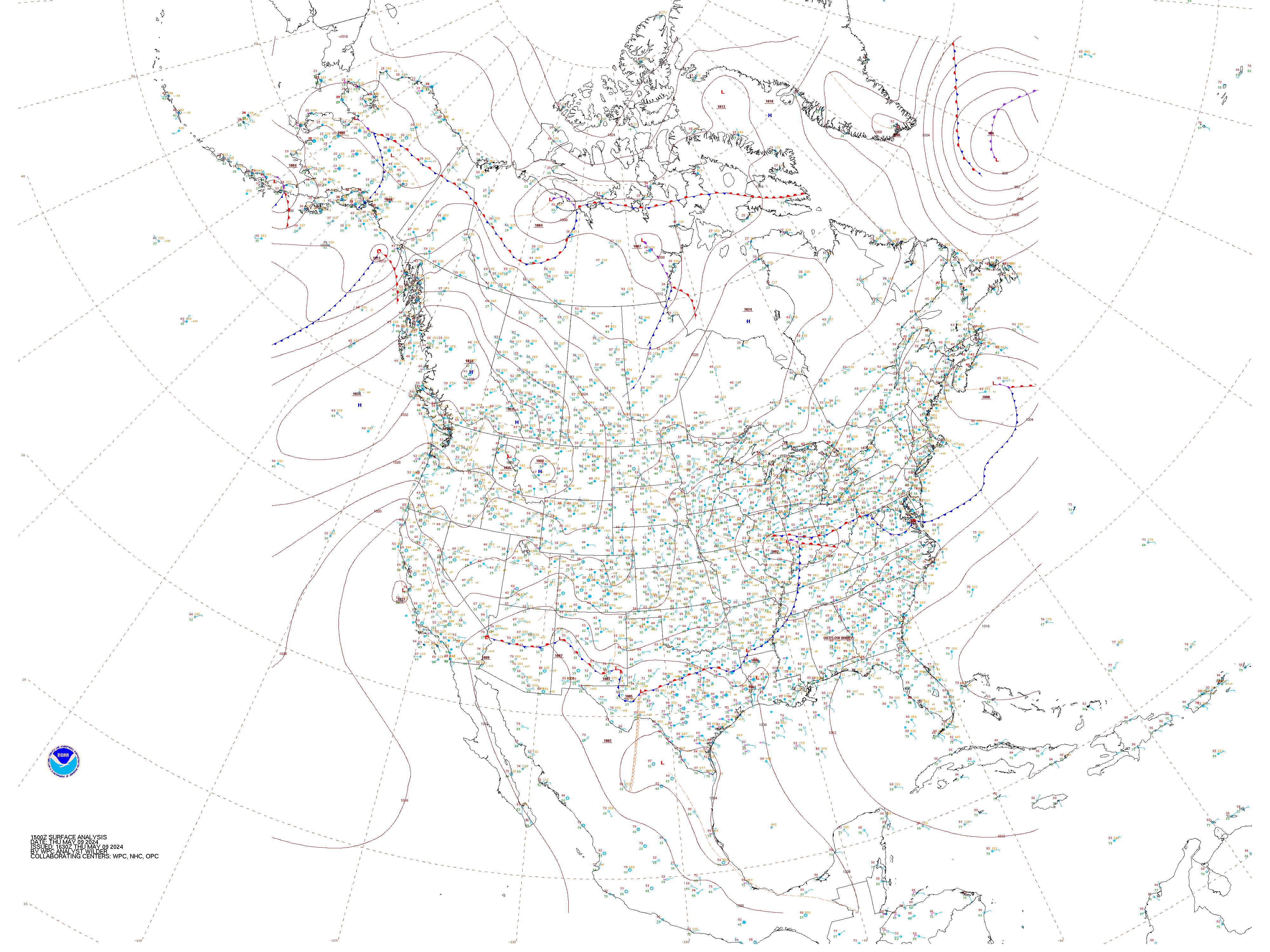
 United States (Fronts Only) |
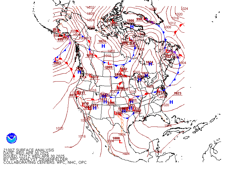 North America (Fronts Only) |
 United States (With Obs) |
||
 North America (With Obs) |
 Southern Plains |
North America High-Resolution |
||
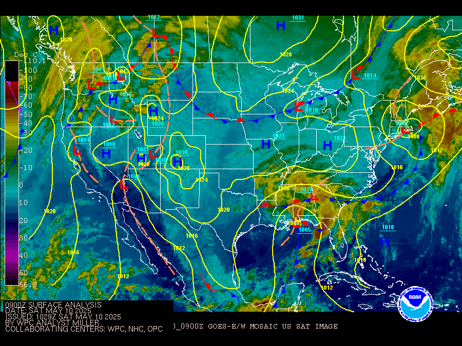 United States (With Satellite) |
 North America (With Satellite) |
|||
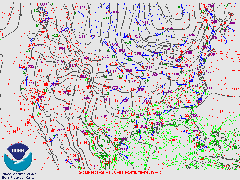
The upper air maps are updated twice a day. They are updated once in the morning (typically between 7am and 9am central time) - these are called the 12z maps. They are also updated once in the evening (typically between 7pm and 9pm central time) - these are called the 00z maps.
| Morning Maps | ||
|---|---|---|
| 925 mb | 850 mb | 700 mb |
 |
 |
 |
| 500 mb | 300 mb | 250 mb |
 |
 |
 |
| Evening Maps | ||
| 925 mb | 850 mb | 700 mb |
 |
 |
 |
| 500 mb | 300 mb | 250 mb |
 |
 |
 |
Click on an image to proceed to more images for each regional or national satellite view.
| U.S. Map - GOES EAST | |
|---|---|
 |
|
| U.S. Map - GOES WEST | |
 |
|
| Southern Plains Region | Upper Mississippi Valley Region |
 |
 |
| Northern Rockies Region | Southern Rockies Region |
 |
 |
|
|
Click on an image to proceed to more images for each regional or national radar view.
| National Radar Map | |
|---|---|
 |
|
| Southern Plains Regional Map | Upper Mississippi Valley Regional Map |
 |
 |
| Northern Rockies Regional Map | Southern Rockies Regional Map |
 |
 |
| Central Oklahoma Regional Map | Northern Oklahoma Regional Map |
 |
 |
| SW OK/North TX Regional Map | Northeast Oklahoma Regional Map |
 |
 |
| OK/TX Panhandles Regional Map | North Texas Regional Map |
 |
 |

