|
About the Database
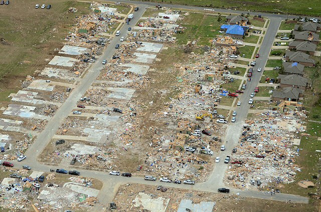
This is a series of ArcGIS maps documenting significant tornadoes and tornado outbreaks affecting Arkansas since comprehensive tornado rating and tracking began in 1950. Additional cases are planned that pre-date the official NCEI Storm Data database. Included maps show estimated tornado tracks and damage indicator points (2013 or later), and supplemental photos, radar data (if available), and historical data are provided.
How the Database was Compiled
For cases 2013 or later, damage tracks and indicators are pulled directly from the Damage Assessment Toolkit Public Database, and supplemented with published NCEI Storm Data and WFO Damage Survey Public Information Statements.
For cases between 1950 and 2012, damage tracks are based on published NCEI Storm Data. It should be noted that the presented tracks will not be completely representative of the true tornado track as a linear interpolation is applied between tornado beginning and end points.
For cases that pre-date NCEI Storm Data (prior to 1950), determining damage tracks is significantly more difficult as most event analyses are based entirely on historical documents, newspapers, and recorded eyewitness reports.
How the Database is Divided:
What is Not in the Database
The database documents numerous significant events in Arkansas history, but not all events are represented.
Point of Contact
Erik Green
National Weather Service
Little Rock, Arkansas
Erik.Green@noaa.gov
|