|
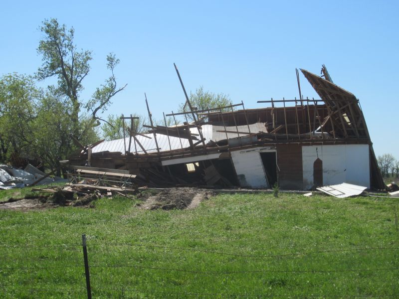
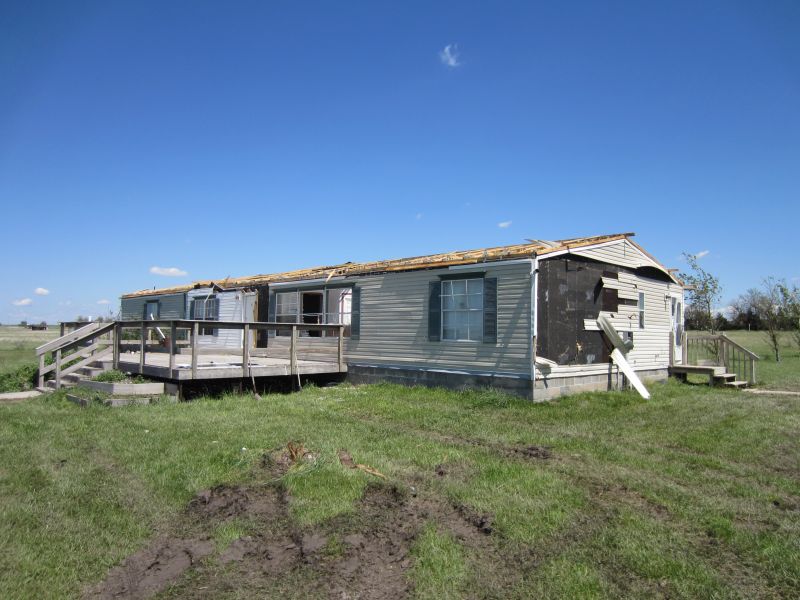
EF1 damage around 2 miles south of Pilsen.
|
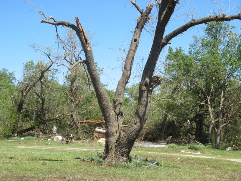
EF1 damage around 2 miles south of Pilsen.
|
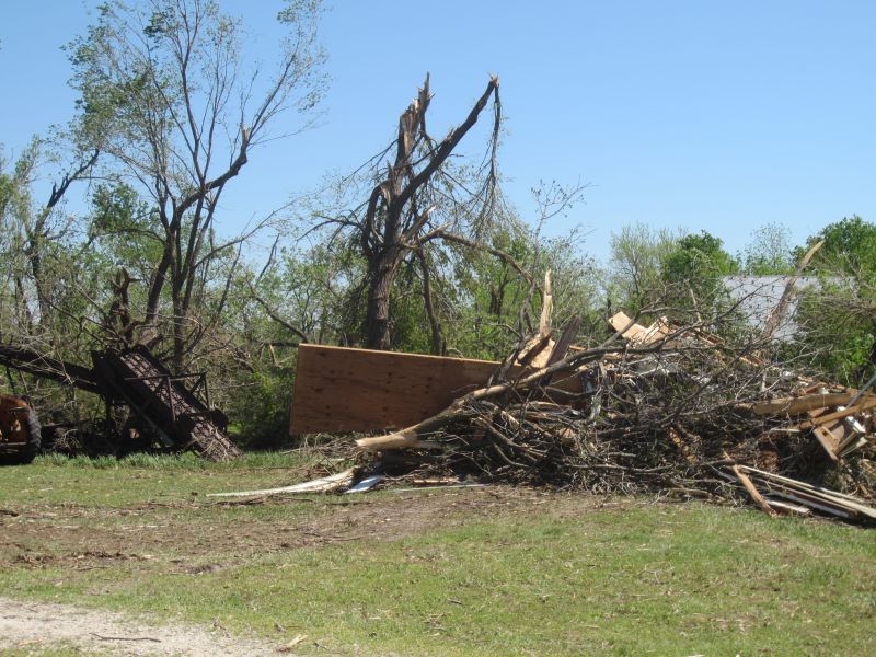
EF1 damage around 2 miles south of Pilsen.
|
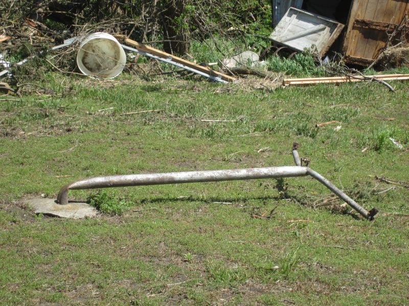
EF1 damage around 2 miles south of Pilsen.
|
|
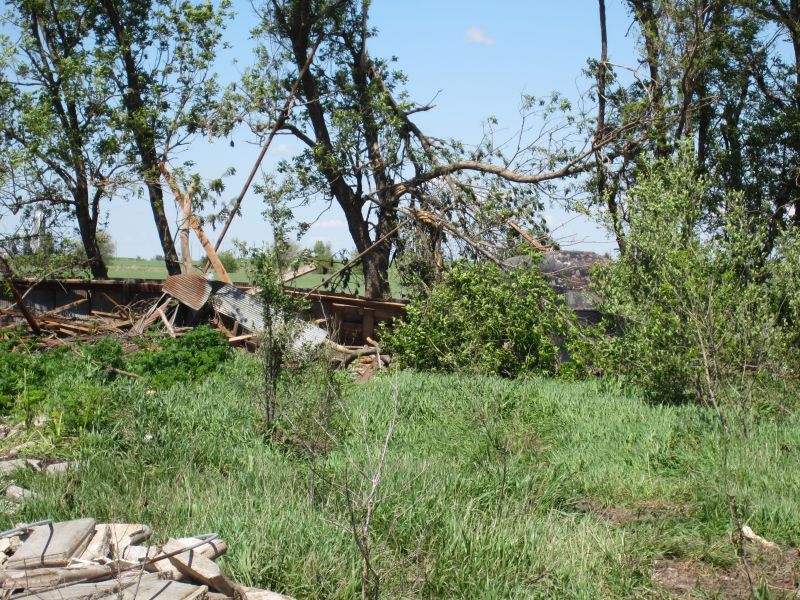
EF0-EF1 damage around 1 mile southeast of Lost Springs
|

EF0-EF1 damage around 1 mile southeast of Lost Springs
|

EF1 damage around 2 miles east of Lost Springs.
|
EF0-EF1 damage around 2 miles east of Lost Springs.
|