Wichita, Kansas
Weather Forecast Office
Current conditions |
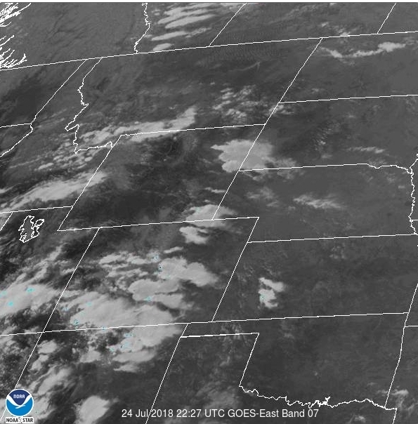
Satellite(for fire detection) |
||||
|
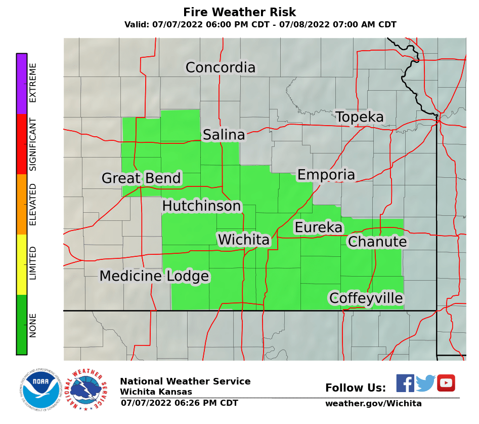
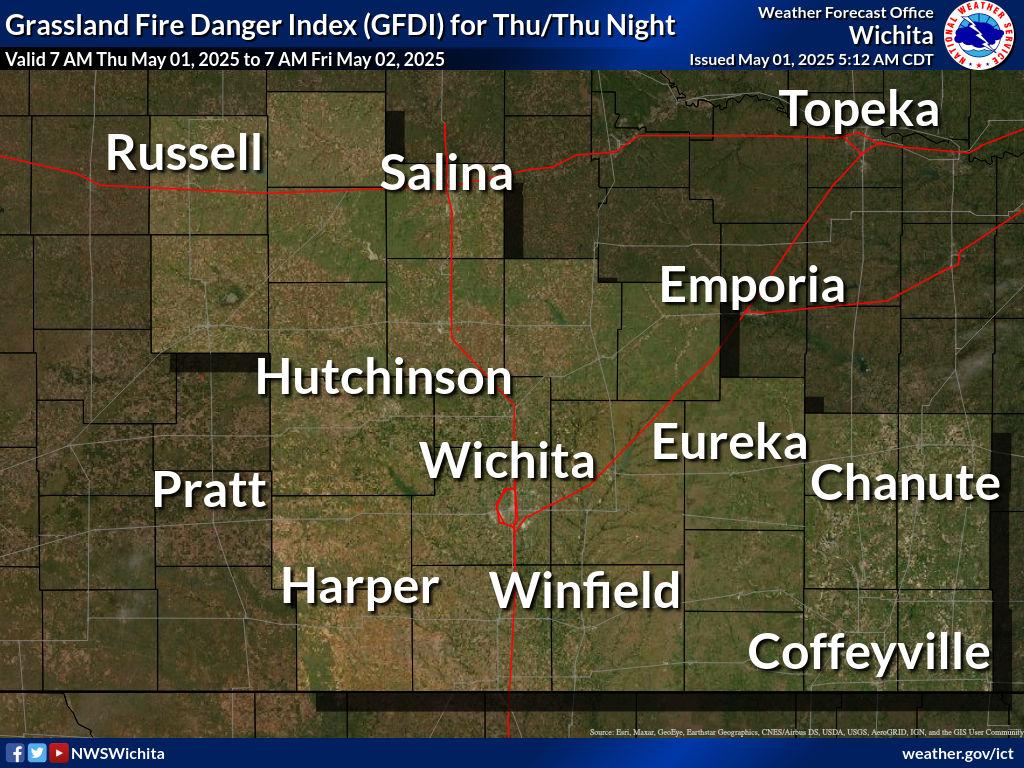
Day 1 Grassland Fire Danger Index
|
|||||
Click map below for point specific hourly forecast
|
Click here to view the entire fire weather planning forecast |
|
|
Oklahoma Mesonet Smoke Impacts
Location of Current Fires Greenness Drought Indices Upper Air Soundings Rocky Mountain Area Coordination Center RMA Annual Operating Plan 2018 (pdf file) |
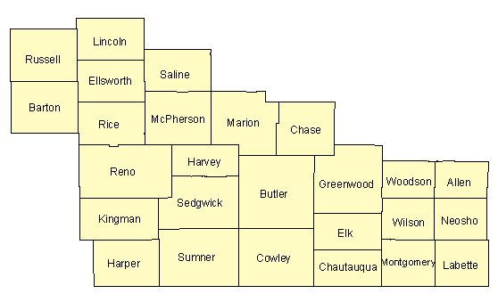
Click on county below for Grassland Fire Danger Index Click here to view the entire grassland fire danger index
|
| Agencies Served | ||||
|---|---|---|---|---|
| USDA Forest Service | National Park Service | Tallgrass Prairie National Preserve | Kansas Forest Service | US Army Corps of Engineers |
Hazards
Briefing pages
Local weather story
Submit a storm report
Storm Prediction Center
Enhanced Hazardous Weather Outlook
Current Conditions
Local Radar
National Radar
Satellite
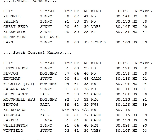
Hourly weather(text)
Precip Analysis
Snowfall analysis
This day in weather history
7 Day Lightning Archive
Forecasts
Forecast Discussion
Weather Story
Fire Weather
Activity Planner
Aviation Weather
Soaring Forecast
Hurricane Center
Graphical Forecasts
Regional Weather Summary
Probabilistic Snow
Probabilistic QPF
Wet Bulb Globe temp
Climate
Local Climate Page
Daily/Monthly data(F6)
Daily Records
Climate Normals
Local drought page
Latest Climate Report(ICT)
Latest Climate Report(SLN)
Latest Climate Report(CNU)
CoCoRaHS
7 Day Lightning Archive
US Dept of Commerce
National Oceanic and Atmospheric Administration
National Weather Service
Wichita, Kansas
2142 S. Tyler Road
Wichita, KS 67209-3016
316-942-3102
Comments? Questions? Please Contact Us.


