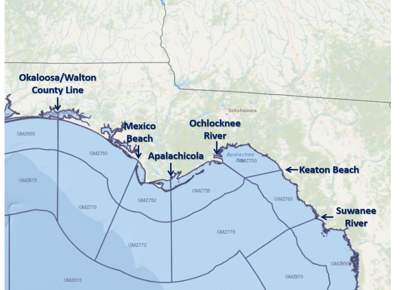
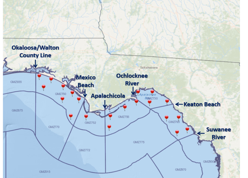
For a graphical forecast, visit weather.gov/beach/tae or see the county based surf zone forecast below:
Detailed Surf Zone Forecast
315
FZUS52 KTAE 020639
SRFTAE
Surf Zone Forecast
National Weather Service Tallahassee FL
239 AM EDT Wed Apr 2 2025
.THE SURF ZONE FORECAST GENERAL OUTLOOK...
Foggy conditions can be expected this morning along the coast. A high
risk for rip currents exists today for our area beaches as
southeasterly flow increases through the day, creating surf heights of
2 to 3 feet. Hazardous beach conditions will continue into the
weekend as winds maintain 15 to 20 mph and surf heights increasing to
4 to 5 feet.
FLZ108-022015-
South Walton-
Including the beaches of Sandestin, Santa Rosa Beach,
and Turquoise Beach
139 AM CDT Wed Apr 2 2025
...HIGH RIP CURRENT RISK IN EFFECT THROUGH THIS EVENING...
.TODAY...
Rip Current Risk............High.
Surf Height.................Around 3 feet.
UV Index**..................Very High.
Water Temperature...........71 degrees.
Weather.....................Mostly cloudy until 1 PM, then mostly
sunny. Widespread dense fog.
High Temperature............In the mid 70s.
Winds.......................Southeast winds 15 to 20 mph.
Tides...
Panama City..............High at 12:42 PM CDT.
Sunrise.....................7:32 AM.
Sunset......................8:04 PM.
.THURSDAY...
Rip Current Risk............High.
Surf Height.................Around 5 feet.
Weather.....................Mostly sunny until 11 AM, then mostly
cloudy. Patchy fog.
High Temperature............In the mid 70s.
Winds.......................Southeast winds around 20 mph.
Tides...
Panama City..............High at 01:40 PM CDT.
Sunrise.....................7:31 AM.
Sunset......................8:05 PM.
.FRIDAY...High rip current risk*. Surf height around 5 feet. Mostly
sunny. Highs in the mid 70s. Southeast winds around 15 mph.
.SATURDAY...High rip current risk*. Partly sunny. Highs in the mid
70s. Southeast winds around 20 mph.
.SUNDAY...High rip current risk*. Mostly cloudy. Scattered showers
and thunderstorms. Highs in the mid 70s. South winds around 15 mph.
&&
Rip Current Risk Category
* Low Risk - The risk for rip currents is low, however,
life-threatening rip currents often occur in the vicinity of groins,
jetties, reefs, and piers.
* Moderate Risk - Life-threatening rip currents are possible in the
surf zone.
* High Risk - Life-threatening rip currents are likely in the surf
zone.
** For lightning, waterspout, and UV definitions see:
https://www.weather.gov/beach/tae
$$
FLZ112-022015-
Coastal Bay-
Including the beaches of Panama City Beach and Magnolia Beach
139 AM CDT Wed Apr 2 2025
...HIGH RIP CURRENT RISK IN EFFECT THROUGH THIS EVENING...
.TODAY...
Rip Current Risk............High.
Surf Height.................Around 4 feet.
UV Index**..................Very High.
Water Temperature...........71 degrees.
Weather.....................Mostly cloudy until 12 PM, then mostly
sunny. Widespread dense fog.
High Temperature............In the mid 70s.
Winds.......................Southeast winds 15 to 20 mph.
Tides...
Panama City..............High at 12:42 PM CDT.
Sunrise.....................7:30 AM.
Sunset......................8:02 PM.
.THURSDAY...
Rip Current Risk............High.
Surf Height.................Around 5 feet.
Weather.....................Mostly sunny until 11 AM, then partly
sunny. Patchy fog.
High Temperature............In the upper 70s.
Winds.......................Southeast winds around 20 mph.
Tides...
Panama City..............High at 01:40 PM CDT.
Sunrise.....................7:29 AM.
Sunset......................8:03 PM.
.FRIDAY...High rip current risk*. Surf height around 4 feet. Mostly
sunny. Highs in the mid 70s. Southeast winds around 15 mph.
.SATURDAY...High rip current risk*. Partly sunny. Highs in the mid
70s. Southeast winds around 20 mph.
.SUNDAY...High rip current risk*. Mostly cloudy. Scattered showers
with isolated thunderstorms. Highs in the mid 70s. South winds around
20 mph.
&&
Rip Current Risk Category
* Low Risk - The risk for rip currents is low, however,
life-threatening rip currents often occur in the vicinity of groins,
jetties, reefs, and piers.
* Moderate Risk - Life-threatening rip currents are possible in the
surf zone.
* High Risk - Life-threatening rip currents are likely in the surf
zone.
** For lightning, waterspout, and UV definitions see:
https://www.weather.gov/beach/tae
$$
FLZ114-022015-
Coastal Gulf-
Including the beaches of Saint Joe Beach
239 AM EDT Wed Apr 2 2025 /139 AM CDT Wed Apr 2 2025/
...HIGH RIP CURRENT RISK IN EFFECT THROUGH THIS EVENING...
.TODAY...
Rip Current Risk...
W Facing Beaches.........Moderate.
S Facing Beaches.........Moderate.
State Park Beaches.......High.
Surf Height...
W Facing Beaches.........Around 2 feet.
S Facing Beaches.........Around 2 feet.
State Park Beaches.......Around 3 feet.
UV Index**..................Very High.
Water Temperature...........71 degrees.
Weather.....................Mostly cloudy until 1 PM, then mostly
sunny. Widespread dense fog.
High Temperature............In the upper 70s.
Winds.......................Southeast winds 15 to 20 mph.
Tides...
Apalachicola.............High at 10:11 AM EDT.
Low at 01:02 PM EDT.
Sunrise.....................7:29 AM.
Sunset......................8:00 PM.
.THURSDAY...
Rip Current Risk...
W Facing Beaches.........High.
S Facing Beaches.........High.
State Park Beaches.......High.
Surf Height...
W Facing Beaches.........Around 3 feet.
S Facing Beaches.........Around 3 feet.
State Park Beaches.......Around 4 feet.
Weather.....................Partly sunny.
High Temperature............In the mid 70s.
Winds.......................Southeast winds around 20 mph.
Tides...
None.
Sunrise.....................7:28 AM.
Sunset......................8:01 PM.
.FRIDAY...High rip current risk*. Surf height around 4 feet. Mostly
sunny. Highs in the mid 70s. Southeast winds around 15 mph.
.SATURDAY...High rip current risk*. Partly sunny. Highs in the mid
70s. Southeast winds around 20 mph.
.SUNDAY...High rip current risk*. Partly sunny. Scattered showers.
Highs in the mid 70s. South winds around 20 mph.
&&
Rip Current Risk Category
* Low Risk - The risk for rip currents is low, however,
life-threatening rip currents often occur in the vicinity of groins,
jetties, reefs, and piers.
* Moderate Risk - Life-threatening rip currents are possible in the
surf zone.
* High Risk - Life-threatening rip currents are likely in the surf
zone.
** For lightning, waterspout, and UV definitions see:
https://www.weather.gov/beach/tae
$$
FLZ115-022015-
Coastal Franklin-
Including the beaches of Apalachicola
239 AM EDT Wed Apr 2 2025
...HIGH RIP CURRENT RISK IN EFFECT THROUGH THIS EVENING...
.TODAY...
Rip Current Risk............High.
Surf Height.................Around 2 feet.
UV Index**..................Very High.
Water Temperature...........71 degrees.
Weather.....................Mostly cloudy until 1 PM, then partly
sunny. Widespread dense fog.
High Temperature............In the mid 70s.
Winds.......................Southeast winds around 15 mph.
Tides...
Apalachicola.............High at 10:11 AM EDT.
Low at 01:02 PM EDT.
Sunrise.....................7:27 AM.
Sunset......................7:58 PM.
.THURSDAY...
Rip Current Risk............High.
Surf Height.................Around 3 feet.
Weather.....................Mostly sunny. Patchy fog.
High Temperature............In the mid 70s.
Winds.......................Southeast winds around 15 mph.
Tides...
None.
Sunrise.....................7:26 AM.
Sunset......................7:59 PM.
.FRIDAY...High rip current risk*. Surf height around 4 feet. Mostly
sunny. Highs in the lower 70s. Southeast winds around 15 mph.
.SATURDAY...High rip current risk*. Mostly sunny. Highs in the mid
70s. Southeast winds around 15 mph.
.SUNDAY...High rip current risk*. Partly sunny. Isolated showers.
Highs in the mid 70s. South winds around 15 mph.
&&
Rip Current Risk Category
* Low Risk - The risk for rip currents is low, however,
life-threatening rip currents often occur in the vicinity of groins,
jetties, reefs, and piers.
* Moderate Risk - Life-threatening rip currents are possible in the
surf zone.
* High Risk - Life-threatening rip currents are likely in the surf
zone.
** For lightning, waterspout, and UV definitions see:
https://www.weather.gov/beach/tae
$$