| Winter Storm of January 28-29, 2014 |
The third winter storm to impact the NWS Tallahassee County warning area in five years brought a wintry mix of precipitation to virtually the entire forecast area. The predominant precipitation types were sleet and freezing rain, although snow did fall across our northwestern zones. Figure 1 shows all of the winter weather reports that were received by this office. Ice was observed all the way to the coast, a very rare occurrence indeed! The event resulted in the closing of area schools as well as many bridges and overpasses and even a large stretch of Interstate 10. Figure 2 shows a visible satellite image taken at 9:30 AM EST on January 30 when the clouds finally cleared. Snow and ice can still clearly be seen on the ground across our far northwestern zones. A detailed summary of this storm is available here.

Figure 1. Local storm reports of freezing rain (ice), sleet and snow across the region from the winter storm of January 28-29, 2014.

Figure 2. Visible satellite image dated 930 AM EST January 30, 2014 showing snow and ice still on the ground from the winter storm that had occurred the previous two days.
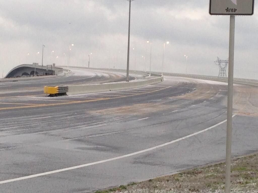
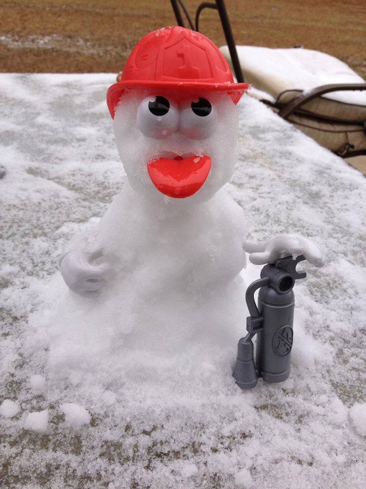
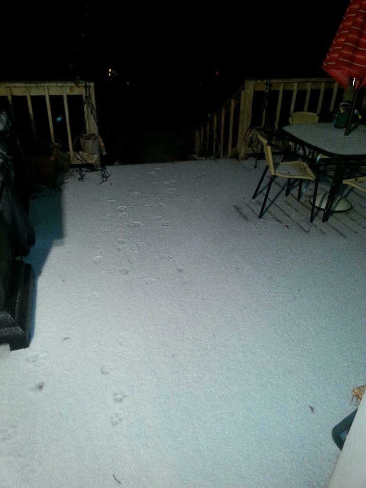
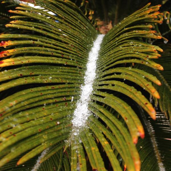
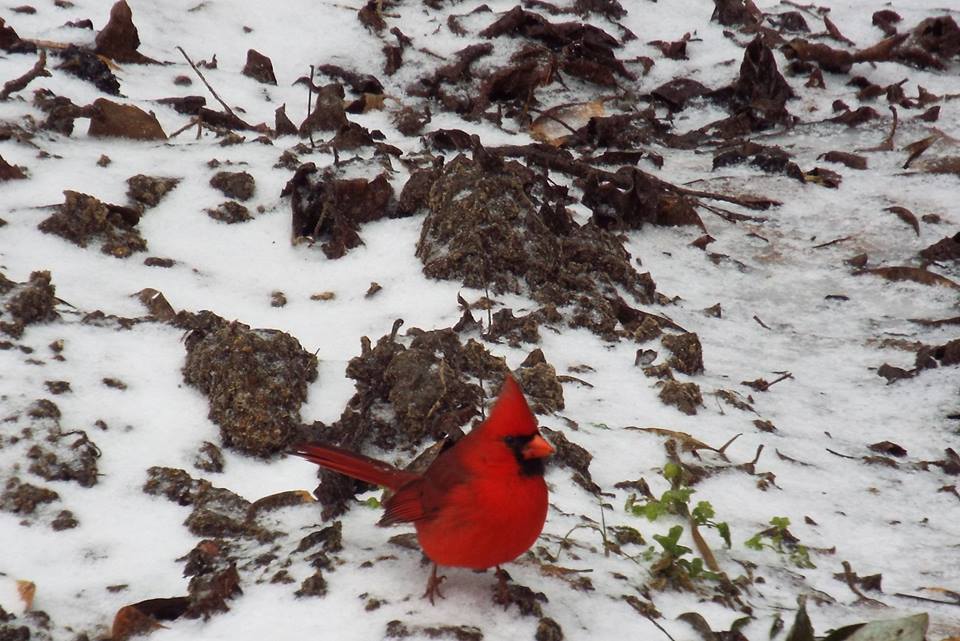
This gallery includes images of snow, sleet and ice that occurred across the NWS Tallahassee County Warning Area on January 28-29, 2014. If you have any additional photos you would like to submit for this page, please send them to our webmaster. Click on each image for a larger view.
 |
 |
 |
 |
 |
 |
 |
 |
 |
 |
 |
 |
 |
 |
 |
 |
 |
 |
 |
 |
 |
 |
 |
 |
 |
 |
 |
 |
 |
 |
 |
 |
 |
 |
 |
 |
 |
 |
 |
This page was authored by Mark Wool. The linked event summary document was written by Jeff Fournier. The map of winter reports was created by Don Van Dyke. Photos were gathered with the assistance of Katie Moore and Alex Lamers.

