National Weather Service United States Department of Commerce
Click a location below for detailed forecast.

Last Map Update: Fri, May 9, 2025 at 6:44:30 am EDT

A couple rounds of locally heavy rain are forecast to move through the area over the next couple of days. This could lead to isolated instances of flash flooding. There is a Marginal Risk (Level 1 of 4) for Excessive Rainfall across the area both Friday and Saturday.
A few strong to severe storms are possible this afternoon into tonight as an area of low pressure moves toward our area. Isolated damaging wind gusts and hail are the primary concerns, but a tornado or two cannot be ruled out across the Florida Panhandle.
Forecast high temperatures and precipitation chances for today.
Forecast low temperatures and precipitation chances for tonight.
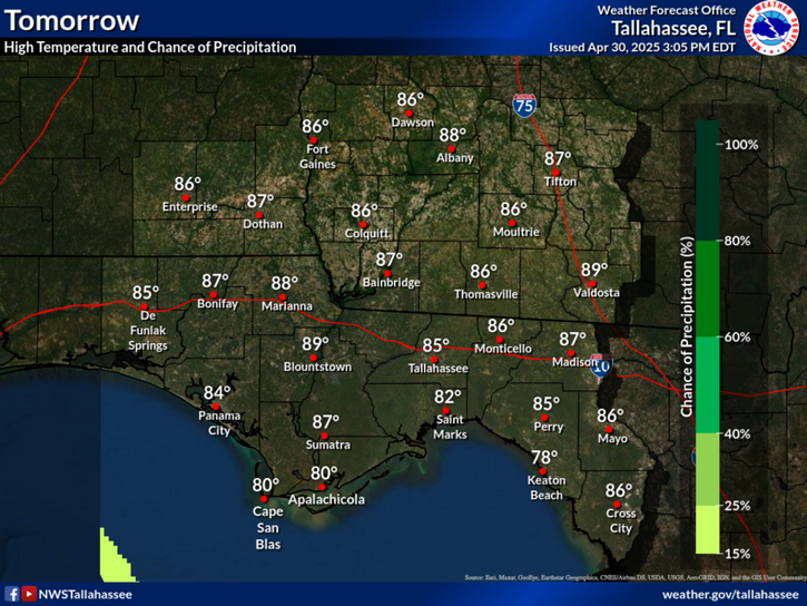
Forecast high temperatures and precipitation chances for tomorrow.


Text Product Selector