Strong to severe thunderstorms will continue tonight across portions of the Ohio Valley into the Mid-Atlantic. Heavy rains may bring an isolated flash flooding threat over the central Appalachians, particularly in West Virginia. Moderate to heavy snow will continue over portions of northern Minnesota and the Upper Peninsula of Michigan through Tuesday morning. Read More >
Salt Lake City, UT
Weather Forecast Office
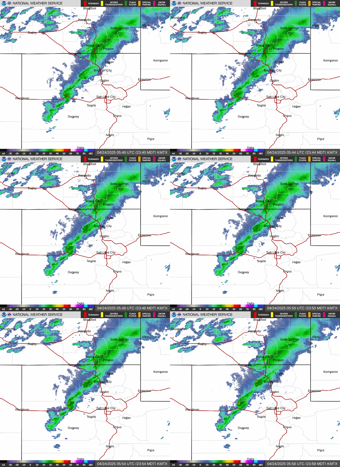
Our office operates and maintains two WSR-88D Doppler RADAR stations. One covers much of northern Utah, and is located near Promontory Point. Another covers southwestern Utah, and is located near Cedar Breaks National Monument.
Salt Lake City, UT Radar |
Cedar City, UT Radar |
 |
 |
| Link to Salt Lake City, UT Standard Radar (low bandwidth) | Link to Cedar City, UT Standard Radar (low bandwidth) |
| Link to Salt Lake City, UT Enhanced Radar | Link to Cedar City, UT Enhanced Radar |
| * Radar Status messages only available for the last 7 days | |
US Dept of Commerce
National Oceanic and Atmospheric Administration
National Weather Service
Salt Lake City, UT
2242 W. North Temple
Salt Lake City, UT 84116
801-524-5133
Comments? Questions? Please Contact Us.

