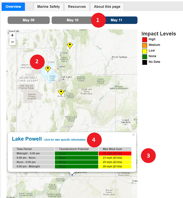
Ultimately, boating safety begins ashore with planning and training. Before setting out, monitor NOAA Weather Radio All Hazards, your favorite news source, weather apps, and/or National Weather Service websites and/or social media feeds for vital weather information.
Communications are critical! Strongly consider purchasing a marine VHF transceiver with built-in NOAA Weather Radio All Hazards channels. Also, consider purchasing a satellite phone.

Thunderstorms
Thunderstorms can be a mariner's worst nightmare. They can develop quickly and create dangerous wind and wave conditions. Thunderstorms can bring shifting and gusty winds, lightning, waterspouts, and torrential downpours which can turn a day's pleasure into a nightmare of distress. A lightning strike to a vessel or surrounding waters can be catastrophic. In addition to potential loss of life or injury, vessels may catch fire and electronics may be damaged.
- Disconnect electronic equipment, including the radio, throughout the duration of the storm.
- Lower, remove or tie down the radio antenna and other protruding devices if they are not part of a lightning protection system.
- If your boat has a cabin, then stay inside and avoid touching metal or electrical devices. If your boat doesn't have a cabin, stay as low as you can in the boat.
- Do not venture out if thunderstorms are a possibility.
- Keep an eye on the sky. Look for darkening skies, flashes of lightning, and/or increasing wind, that may be signs of an approaching thunderstorm.
- Listen for the sound of thunder.
- If you do venture out and recognize thunderstorms nearby, head to port or safe shelter as quickly as possible.
- If someone is struck by lightning, perform CPR immediately if needed.
- If your boat has been struck by lightning, check the electrical system ensure that no damage has occurred.

Synoptic Winds
A sudden change in wind speed and/or direction, such as from a cold front moving across the region, may have a significant impact on boaters. A change in wind direction and/or increase in speed will affect waves.
- Do not venture out if strong winds are in the forecast.
- If you do get caught on the water, head to port or safe shelter as quickly as possible.
Fog
Chances are when you are on the water, you will occasionally encounter fog, making navigation a challenge. Visibility can be reduced to less than a quarter of a mile, disorienting boaters.
- Learning to navigate through fog is critical to safe boating.
- Slow down to avoid collisions.
- Turn on all of your running lights, even in daytime.
- Listen for sounds of other boats that may be near you
- Use GPS or a navigation chart to help obtain a fix on your location.

Cold Waters
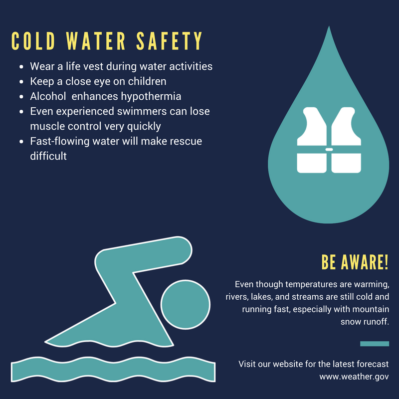
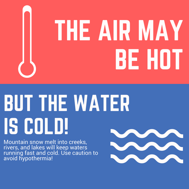
Lakes and reservoirs fed by snowmelt runoff are extremely cold during spring and early summer. If in the water, hypothermia may set in quickly.
- If on or near the water, monitor children at all times.
- Always Wear Your PFD
- Always Dress For The Water Temperature
- Field-Test Your Gear
- Swim-Test Your Gear Every Time You Go Out
- Imagine The Worst That Could Happen and Plan For It
- Learn more about cold water safety from weather.gov
- Learn more about cold water safety from coldwatersafety.org

