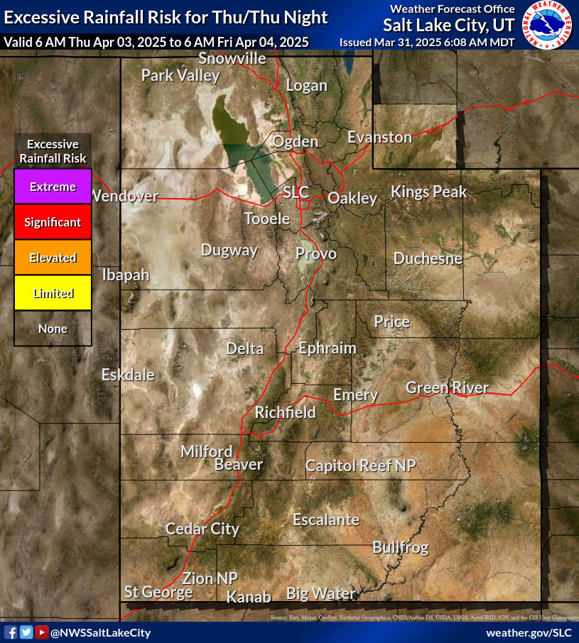
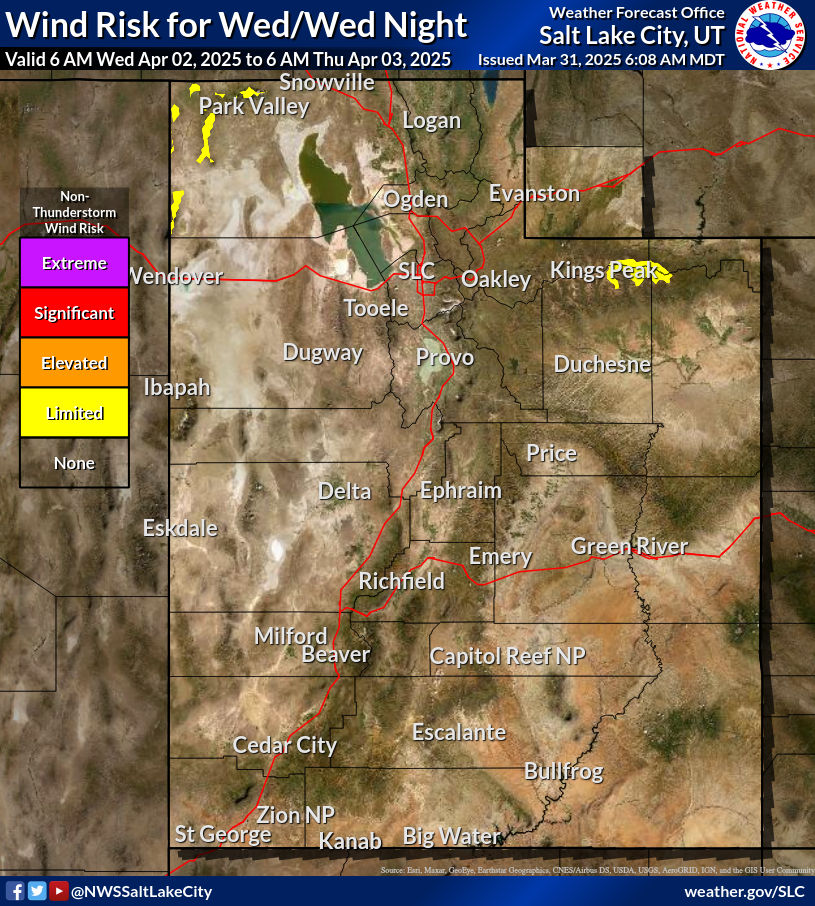
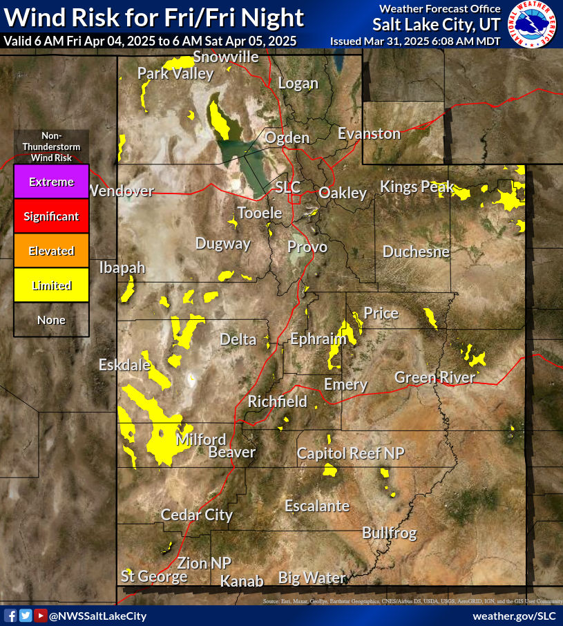
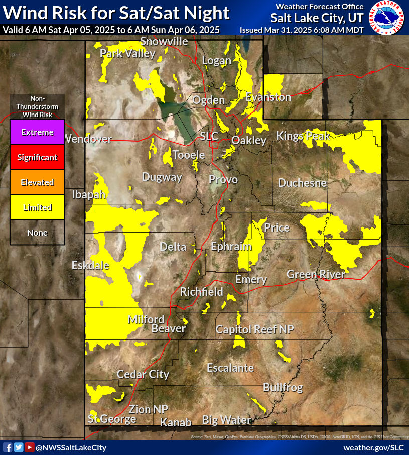
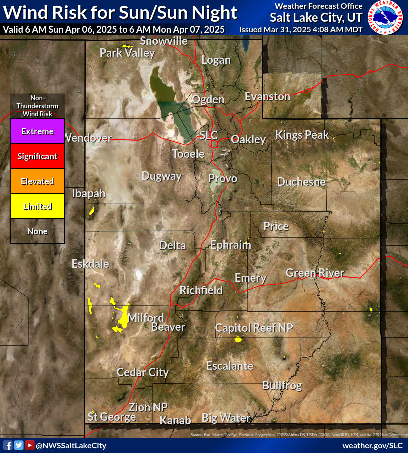
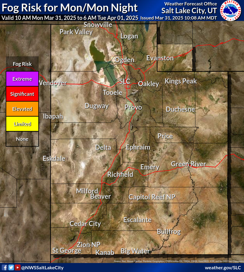
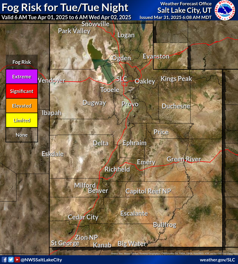
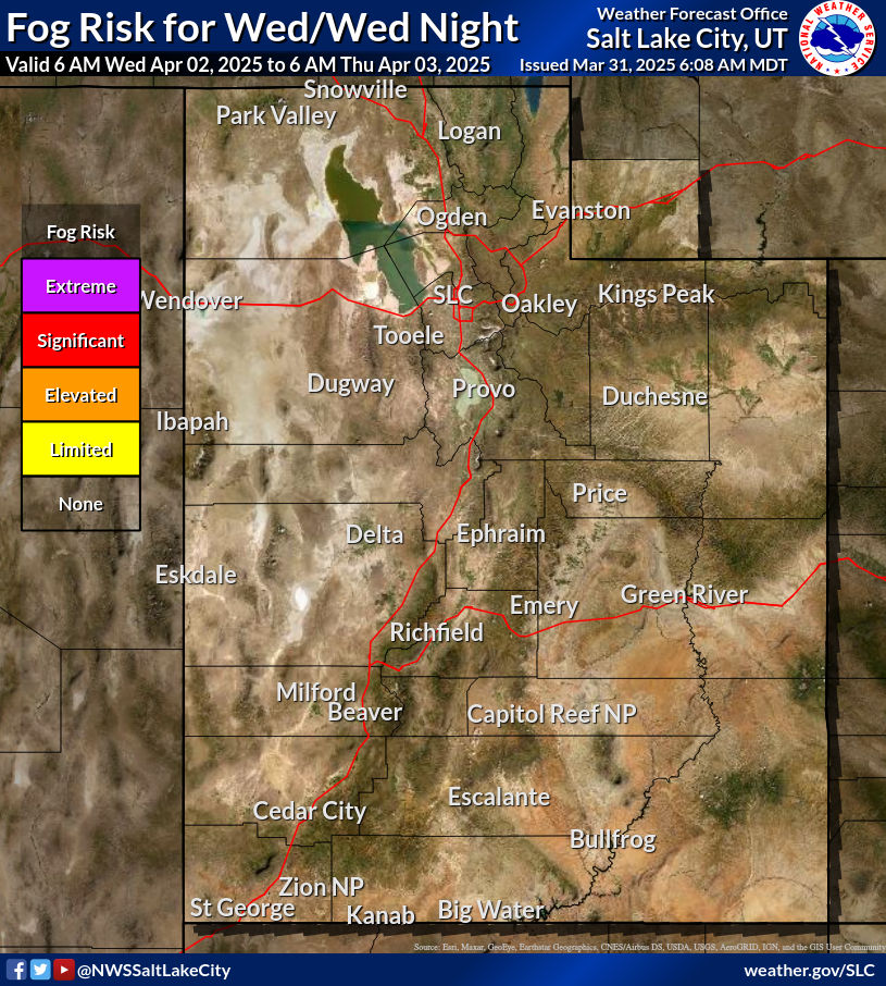
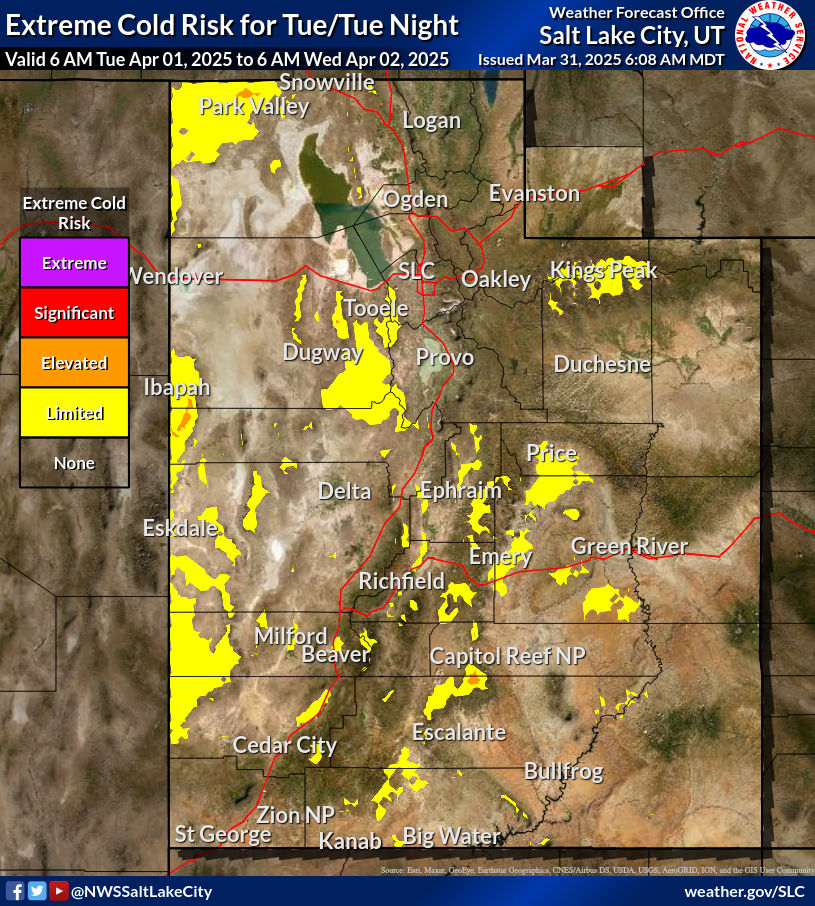
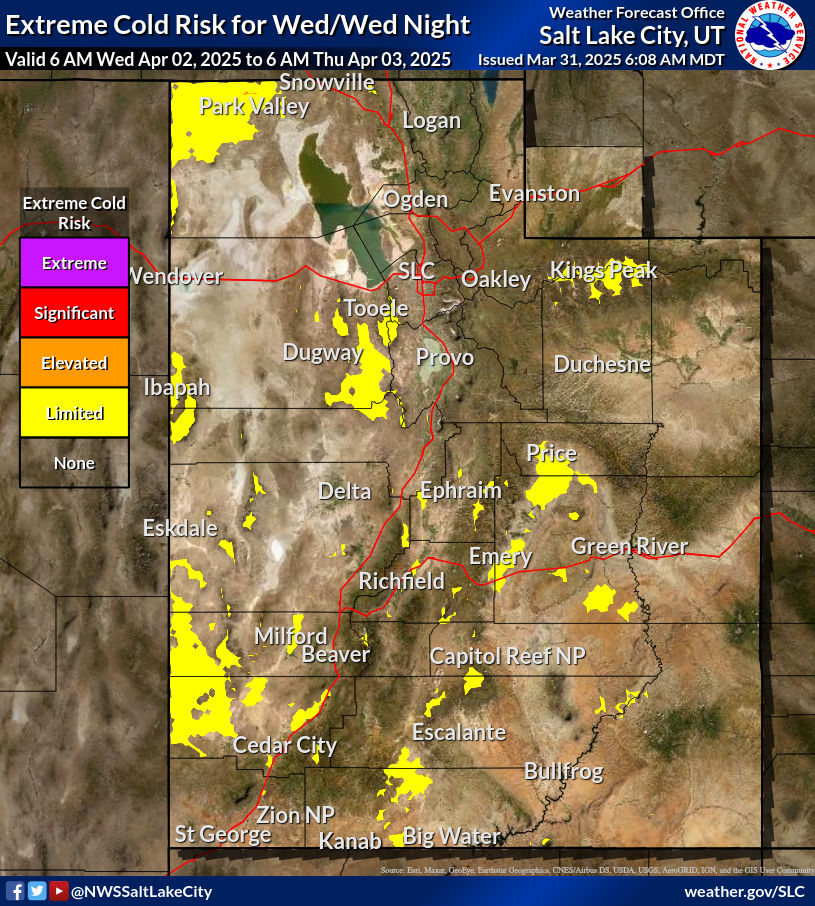
Winter Hazards Across the North; Heavy Rainfall Across the Gulf Coast; Severe Weather Outlook
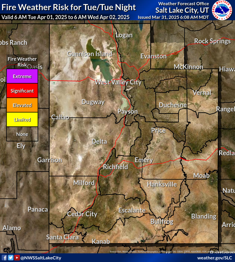
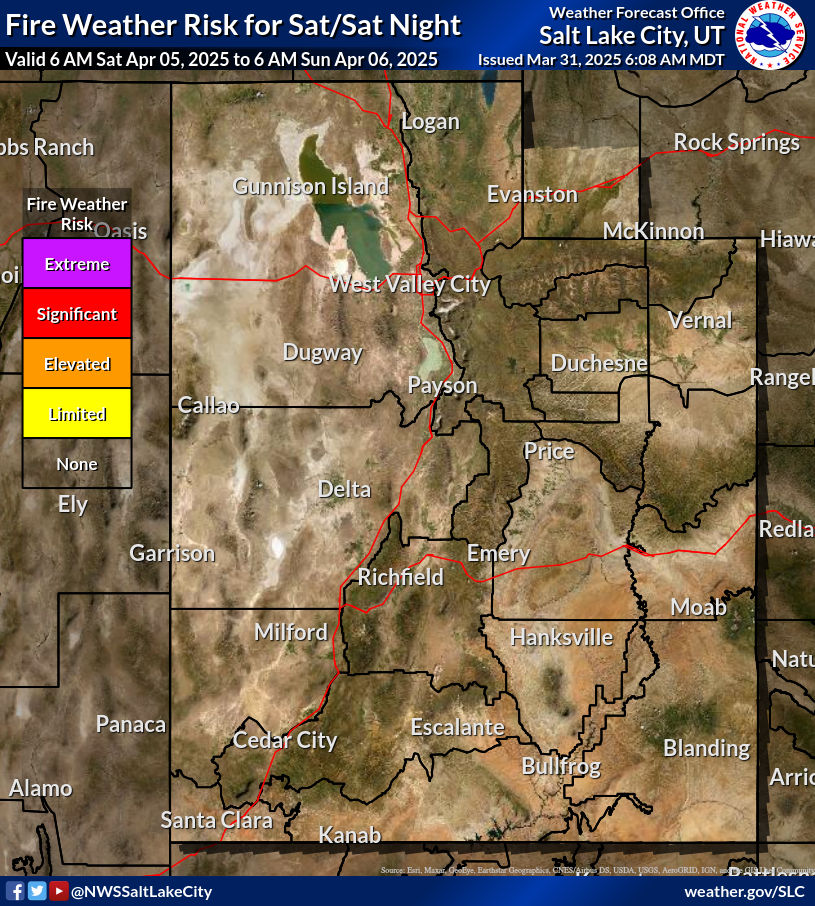
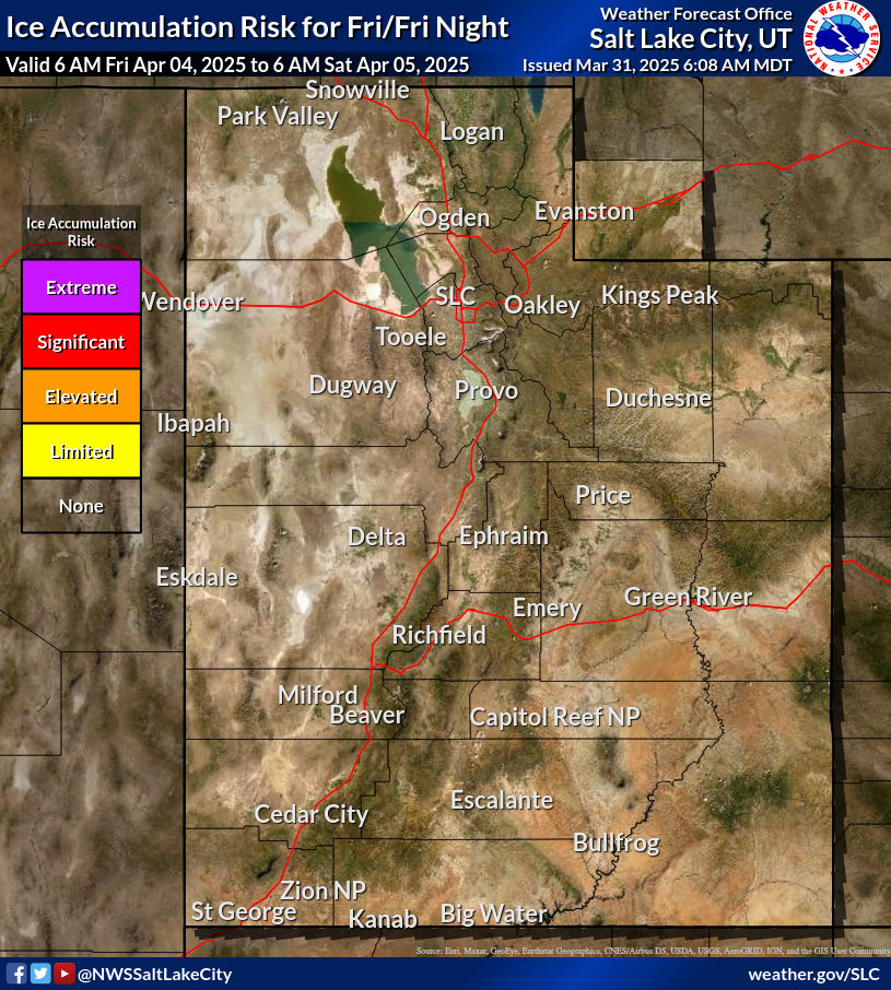
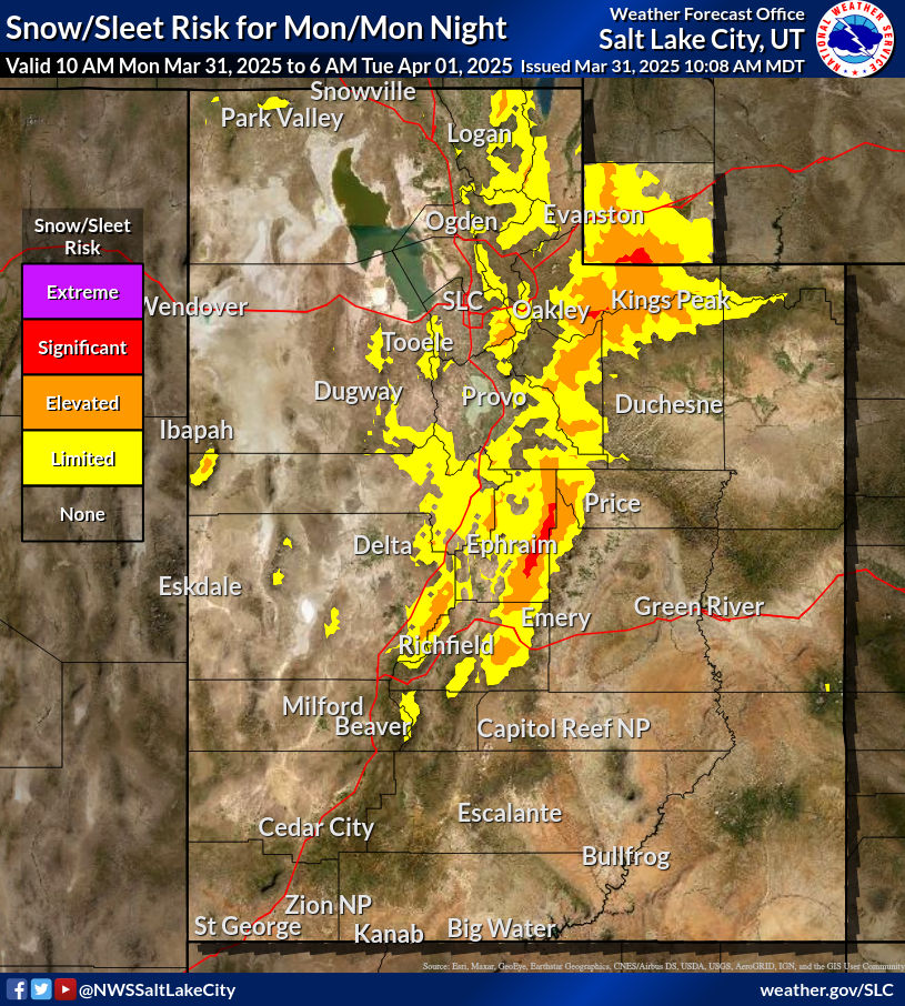
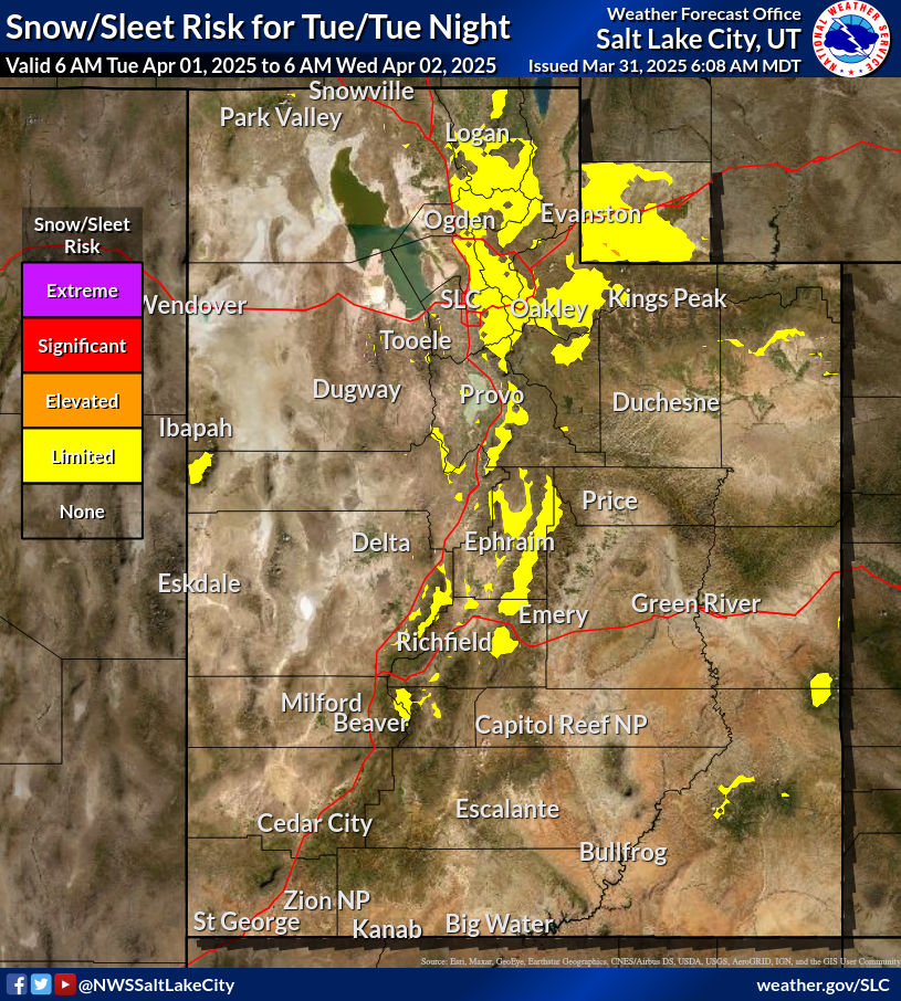
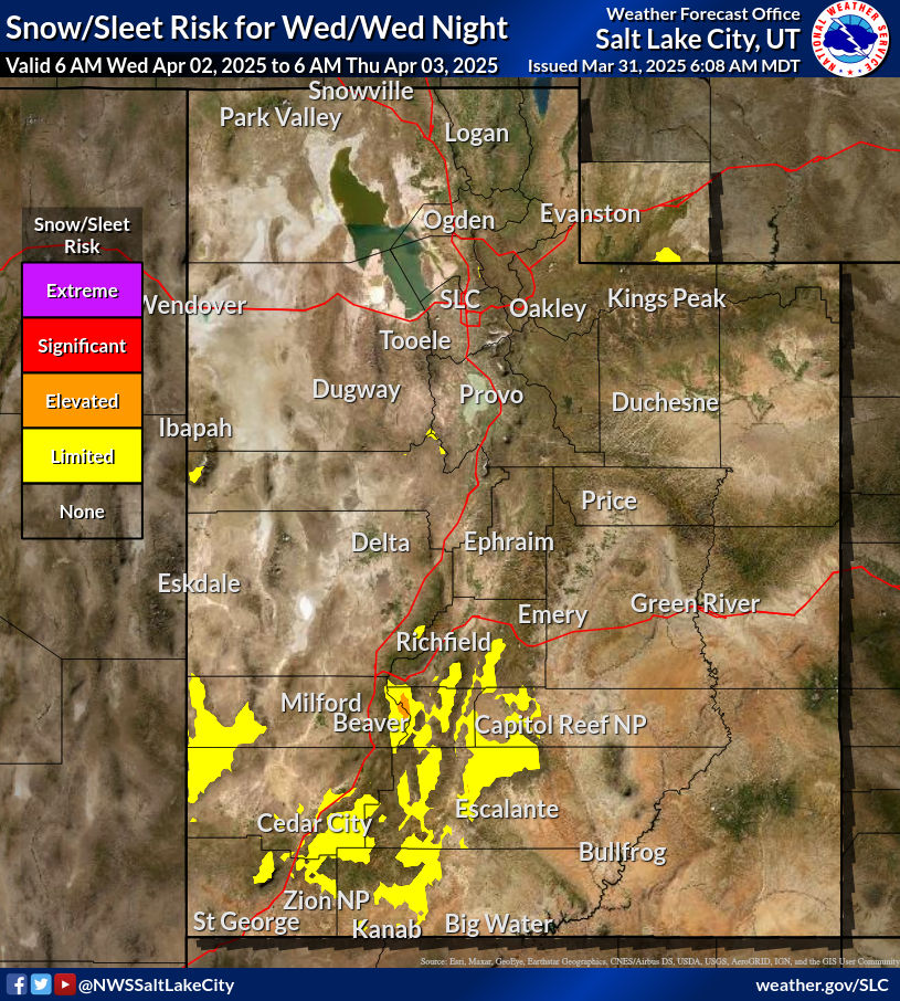
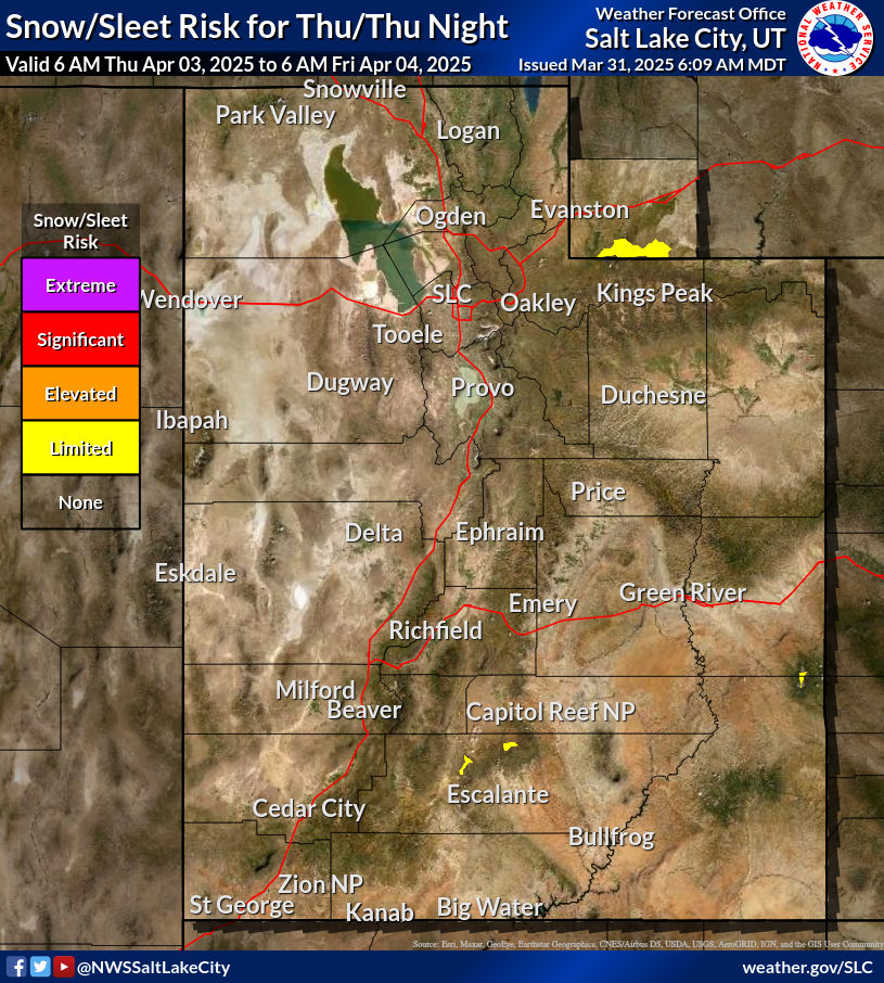
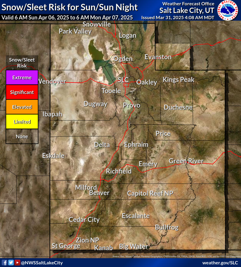
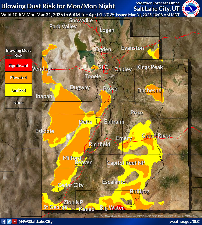
Moisture across the northern Plains, upper Great Lakes into northern New England will likely bring a period of snow, sleet and freezing rain through this weekend. Meanwhile, heavy rainfall continues along the Gulf Coast with areas of flooding. Fire weather conditions continue for the areas of the Plains, southern Appalachians into portions of Florida. Severe thunderstorm potential increasing.
Read More >


