If you're wondering where the monsoon went...it'll likely be back. The Climate Prediction Center 8-14 Day Outlook suggests greater chances for above-normal precipitation by the second week of August.
Increasing winds will combine with very low relative humidity values to bring areas of critical fire weather conditions to a large portion of Utah Sunday afternoon and evening. Avoid activities that cause sparks!

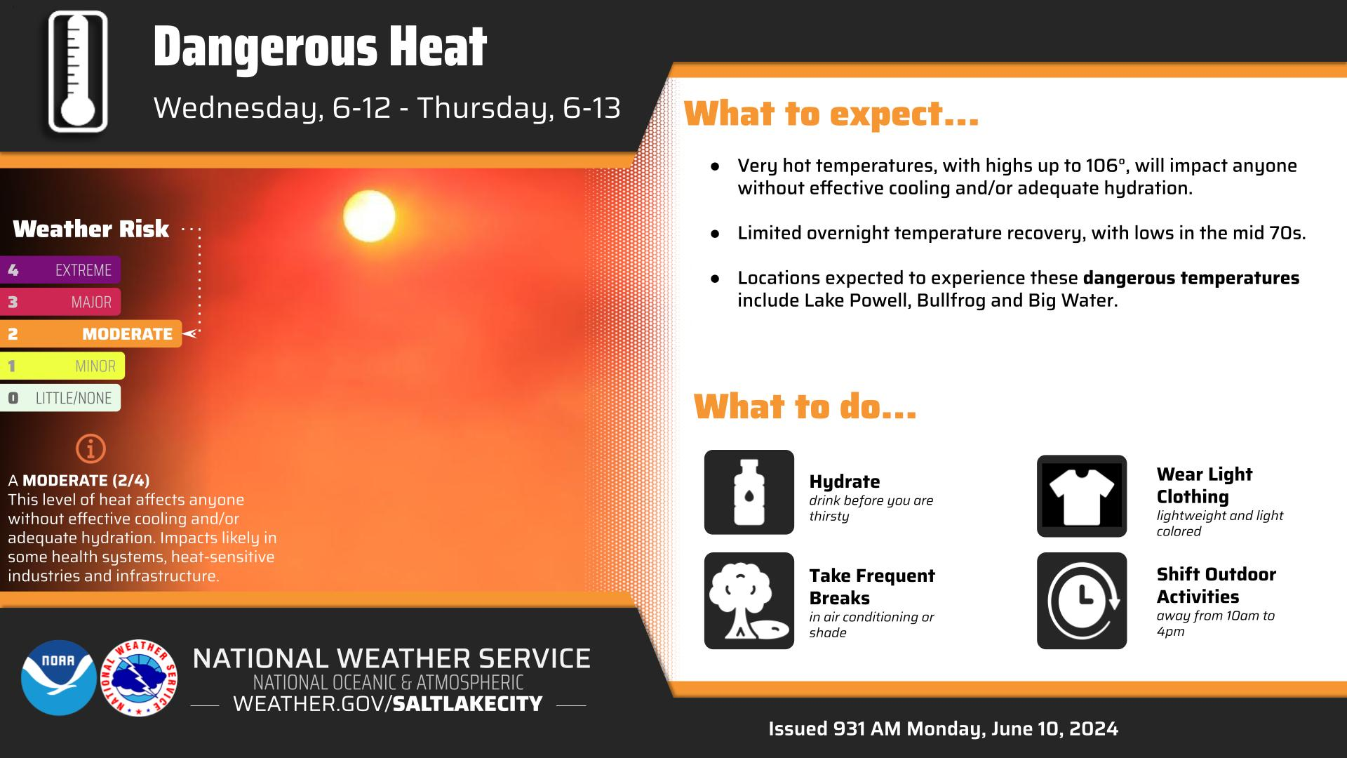


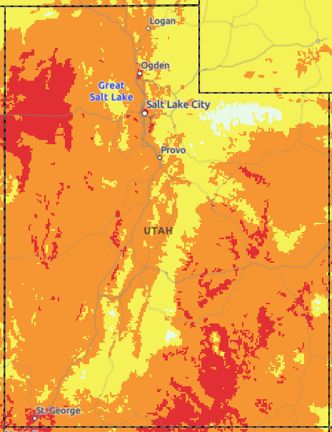 HeatRisk
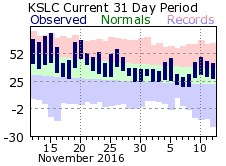 Monthly Climate Data