National Weather Service United States Department of Commerce

Critical Fire Weather in the High Plains; Heavy Snow in the Western Mountains and Northern Plains

Gusty winds and low relative humidity will bring critical fire weather to the central and southern High Plains Wednesday. Two Pacific storms will continue impacting the mountains of the western U.S. into Thursday with gusty winds and heavy snow. Heavy snow and gusty winds will continue to impact the northern Plains into the central Great Lakes Wednesday. Read More >

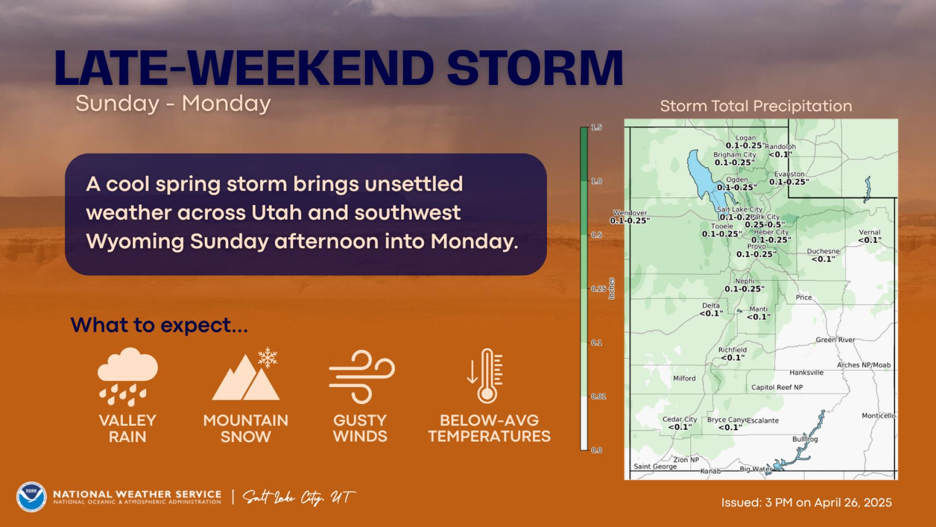
A winter storm will bring significant accumulating snow to most Utah Valleys starting late this evening across southwestern Utah and Bryce Canyon, early Thursday morning across the Cache Valley, Wasatch Front, the Grand Staircase, upper Sevier Valleys and Zion National Park. Snow will be heavy at times after 3-5 AM Wednesday, shifting to a more showery mode Wednesday afternoon.
Snow will redevelop tonight across Utah's mountains. Snow will be heavy at times after midnight into Wednesday morning, transitioning to a showery mode Wednesday afternoon. Expect winter driving conditions on all mountain routes, including Parleys Canyon during the Wednesday morning commute.
Another round of strong, gusty winds will impact the western valleys of Utah tonight into early Wednesday morning. Expect gusts up to 55 mph ahead of a cold front. Winds will shift to northwest behind the cold front between 3-7 AM and remain strong for 1-2 hours.


Text Product Selector (Selected product opens in current window)