Severe thunderstorms are forecast through this weekend along a slow moving cold front and secondary storm system that will impact areas from the southern Plains to the Great Lakes. Large hail and isolated damaging wind gusts are the main threats with these storms along with a risk for heavy to excessive rainfall which could bring flooding. Read More >
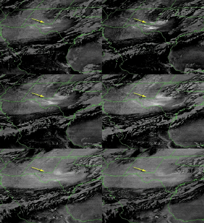
In the following infrared satellite loop, you can see blowing dust that blew into the west Texas and southeast New Mexico behind a strong cold front on March 11, 2002.

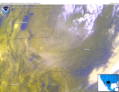
The infrared satellite image (with false coloration) below also shows the dust as it blew through west Texas.

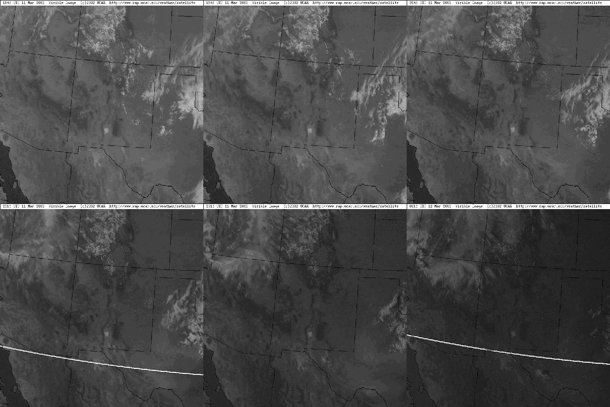
The dust can also be faintly discerned in the following visible satellite loop.

NOUS44 KMAF 120516
PNSMAF

PUBLIC INFORMATION STATEMENT
NATIONAL WEATHER SERVICE MIDLAND/ODESSA TX
1116 PM CST MON MAR 11 2002

A STRONG UPPER LEVEL DISTURBANCE PASSING NORTH OF THE PERMIAN
BASIN...AND A TIGHTENING PRESSURE GRADIENT AT THE SURFACE PRODUCED
STRONG WINDS ACROSS THE REGION ON MONDAY.  IN ADDITION TO THE
WINDS...BLOWING DUST REDUCED VISIBILITIES ACROSS MANY LOCALITIES OF
THE WEST TEXAS AND SOUTHEAST NEW MEXICO.  IN GENERAL...VISIBILITIES
AT MANY LOCALITIES DURING THE MIDDLE TO LATE AFTERNOON HOURS WERE
REDUCED TO 5-6 MILES.  HOWEVER...SOME LOCALITIES INCLUDING THE
MIDLAND INTERNATIONAL AIRPORT HAD VISIBILITIES REDUCED TO TWO MILES
AT TIMES.  EVEN LOWER VISIBILITIES WERE NOTED DOWNWIND OF PLOWED
OPEN FIELDS AND CONSTRUCTION SITES AROUND THE REGION.  THE BLOWING
DUST WAS NOTED VIA LATE AFTERNOON SATELLITE IMAGERY.

BELOW ARE SOME PEAK GUSTS RECORDED AT WEATHER SITES LOCATED IN
SOUTHEAST NEW MEXICO AND WEST TEXAS ON MONDAY MARCH 11 2002...

...WIND EVENT REPORTS...

...NEW MEXICO...
LOCATION                      WIND GUSTS MPH
ARTESIA                             53
BAT DRAW RAWS                       49
CARLSBAD                            51
CAPROCK RAWS                        44
HOBBS                               52
PADUCAH RAWS                        49
TATUM                               55

...TEXAS...
LOCATION                      WIND GUSTS MPH
CHISOS BASIN                        27
DRYDEN                              44
FORT STOCKTON                       54
GAIL                                53
GUADALUPE NP BOWL                   67
GUADALUPE NP PINERY                 45
GUADALUPE PASS                      60
LAMESA                              46
MARFA                               54
MIDLAND                             46
MOUNT LOCKE                         74
ODESSA                              46
O DONNELL                           56
PANTHER JUNCTION                    35
WINK                                46

$$

RSB