
High winds and very dry conditions will continue to produce elevated to critical fire weather conditions over portions of New Mexico and far western Texas through Saturday. Heavy snow will continue in the Central Rockies Heavy rain, flooding, and severe thunderstorm risks increase from the Southern Plains into the Lower Missouri Valley this weekend. Read More >
![]()
December 1-7, 2024 is Winter Weather Awareness Week in Kentucky. The winter season can bring many different hazards and impacts to the region. Winter Weather Awareness week is your reminder that you need to be Weather Ready for all types of hazards, such as winter storms, snow squalls, ice storms, heavy rain and flooding, high winds, and even severe weather. All week long, the National Weather Service office in Jackson, KY will be sharing information on how to prepare for winter, which will be viewable on our social media platforms (Facebook and X). Please Share/Retweet to share this knowledge with others.
Winter Weather Headlines Issued by NWS Jackson, KY
Winter Weather Advisory: For impactful snow accumulations up to 4 inches, or a combination of impactful snow, sleet, or freezing rain amounts less than Winter Storm Warning criteria, expected to occur in the next 2 to 3 days.
Winter Storm Watch: At least 50% confidence that any combination of snow, sleet, or freezing rain averaging 4 inches or more expected to occur in the next 2 to 3 days.
Winter Storm Warning: Any combination of snow, sleet, or freezing rain averaging 4 inches or more for an event, or at least 1/2 inch of sleet in an event (an event being up to 48 hours in length). Winter Storm Warnings can also be issued for high impact frozen precipitation events outside of the normal winter season, or during a critical situations for amounts less than 4 inches during a period up to 48 hours.
Ice Storm Warning: A freezing rain event is expected in the next 24 to 48 hours that will produce ice accumulations of 1/4 inch of an inch or more.
Blizzard Warning: A combination of sustained winds or frequent wind gusts of at least 35 mph and visibilities of less than 1/4 of a mile due to snow and/or blowing snow for at least three straight hours. This is expected to occur in the next 24 to 48 hours.
Snow Squall Warning: Intense bursts of snow with gusty winds causing whiteout conditions and the risk of a flash freeze.
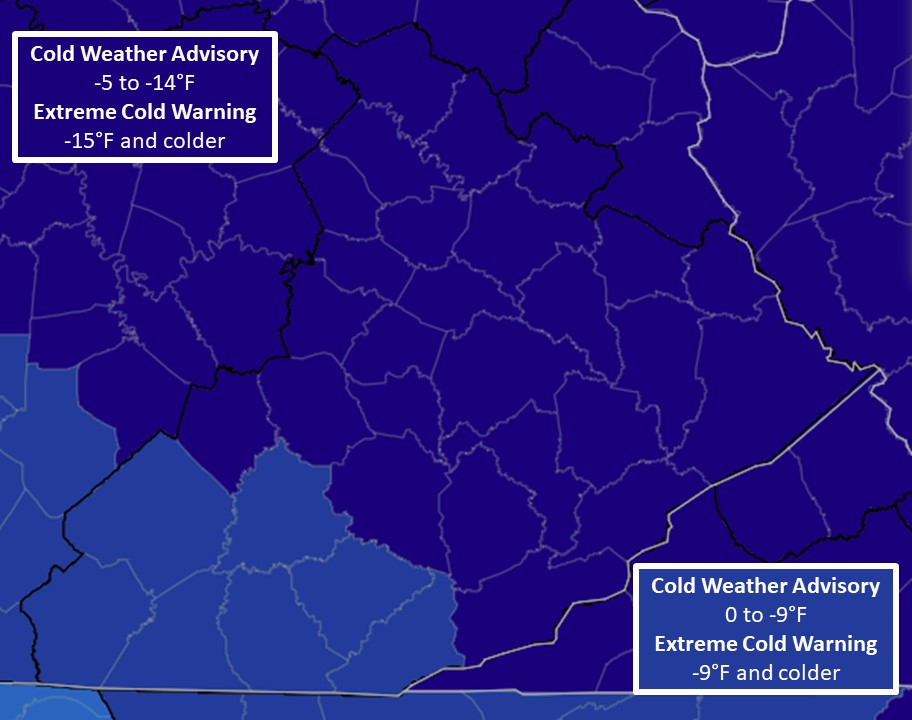
Extreme Cold Watch: Air temperatures or wind chill values reaching or exceeding the county-level warning criteria in the next 2 to 3 days.
Extreme Cold Advisory: Air temperatures or wind chill values reaching or exceeding the county-level warning criteria in the next 24 to 36 hours.
Extreme Cold Warning: Air temperatures or wind chill values reaching or exceeding the county-level warning criteria in the next 24 to 48 hours.
Know Before You Go!
Don't let impactful weather sneak up on you. Check the latest NWS forecast for your zip code at weather.gov before you head out the door each day. Get the information you need, either in the detailed forecast that outlines the next several days, or in the hour-by-hour forecast if you need finer detailed weather information.
 Winter Weather Preparedness: Stay Safe Before, During and After the Storm
  Build an Emergency Preparedness Kit
  Getting Traction: Tips for Traveling in Winter Weather
  Snow Squalls
  A Look Back at Past East Kentucky Winter Storms


