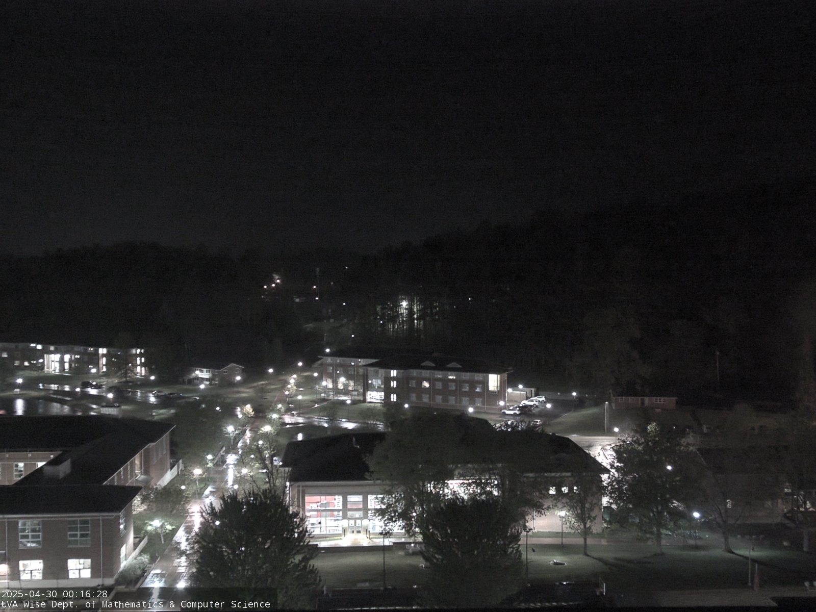
Lake effect snow will impact the Great Lakes region through the day. Gusty winds will pick up across the Midwest, Northeast and Mid-Atlantic beginning this afternoon following a cold front. Elevated fire weather conditions will persist across the Desert Southwest today, with critical fire weather conditions developing Wednesday and Thursday in the Southern Plains. Read More >
Jackson, KY
Weather Forecast Office
| Current Conditions |
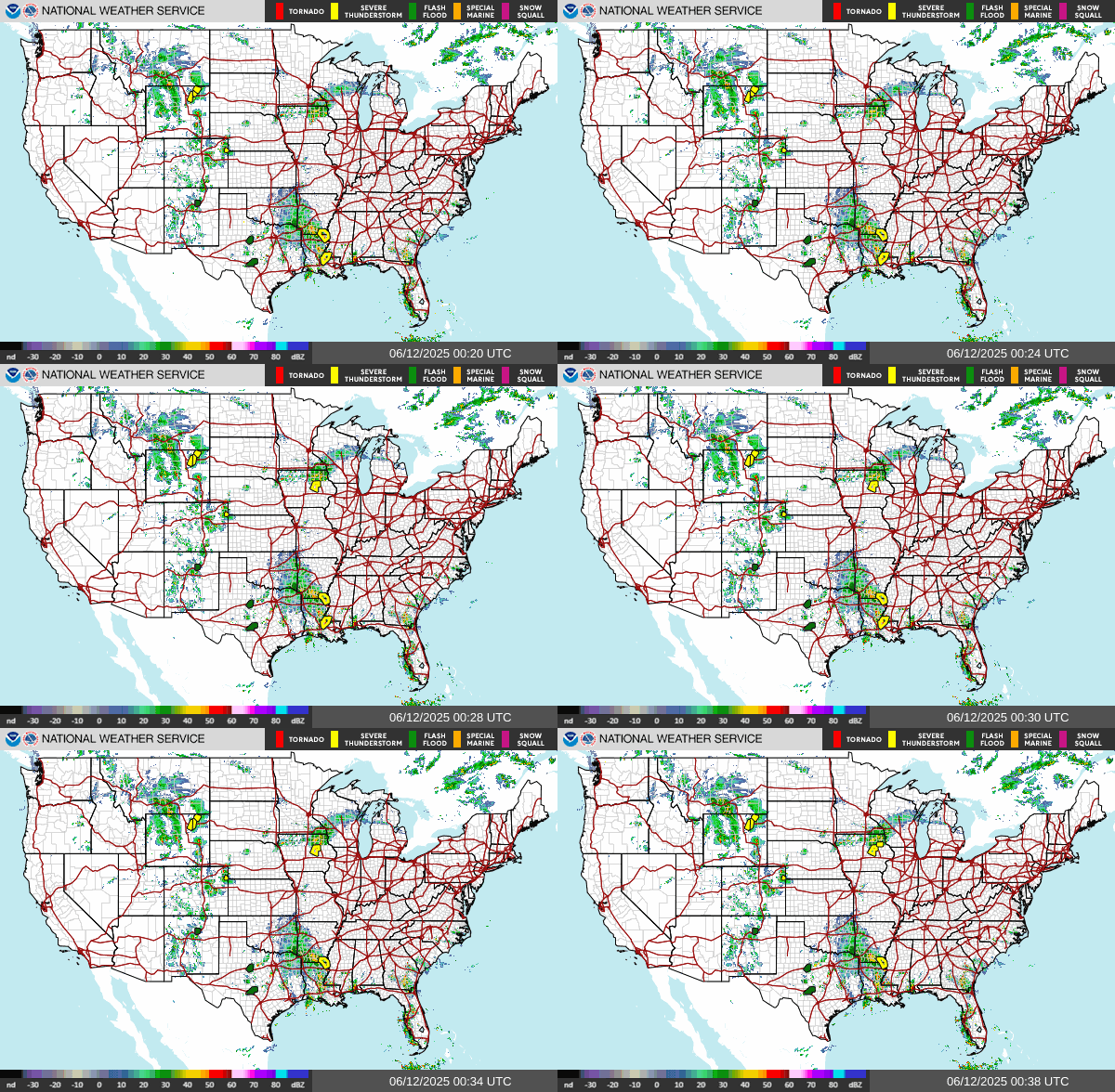 US Radar |
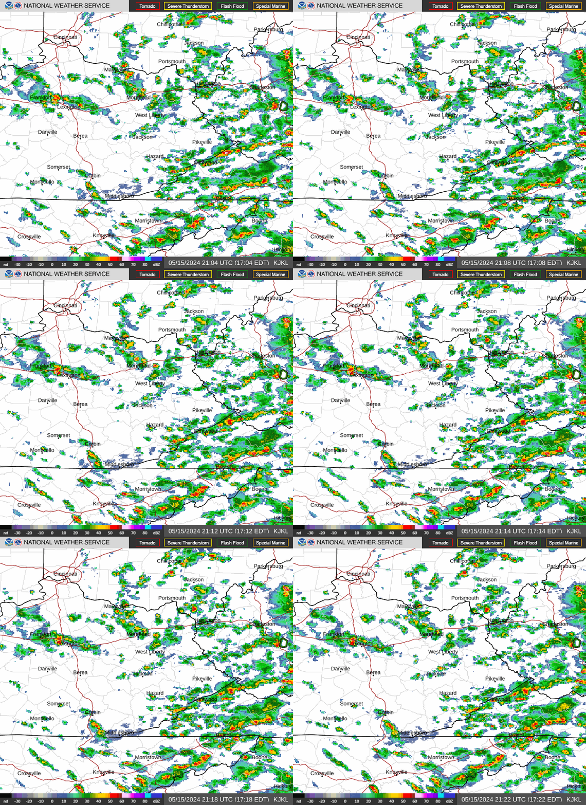 East Kentucky Radar Loop |
 Louisville |
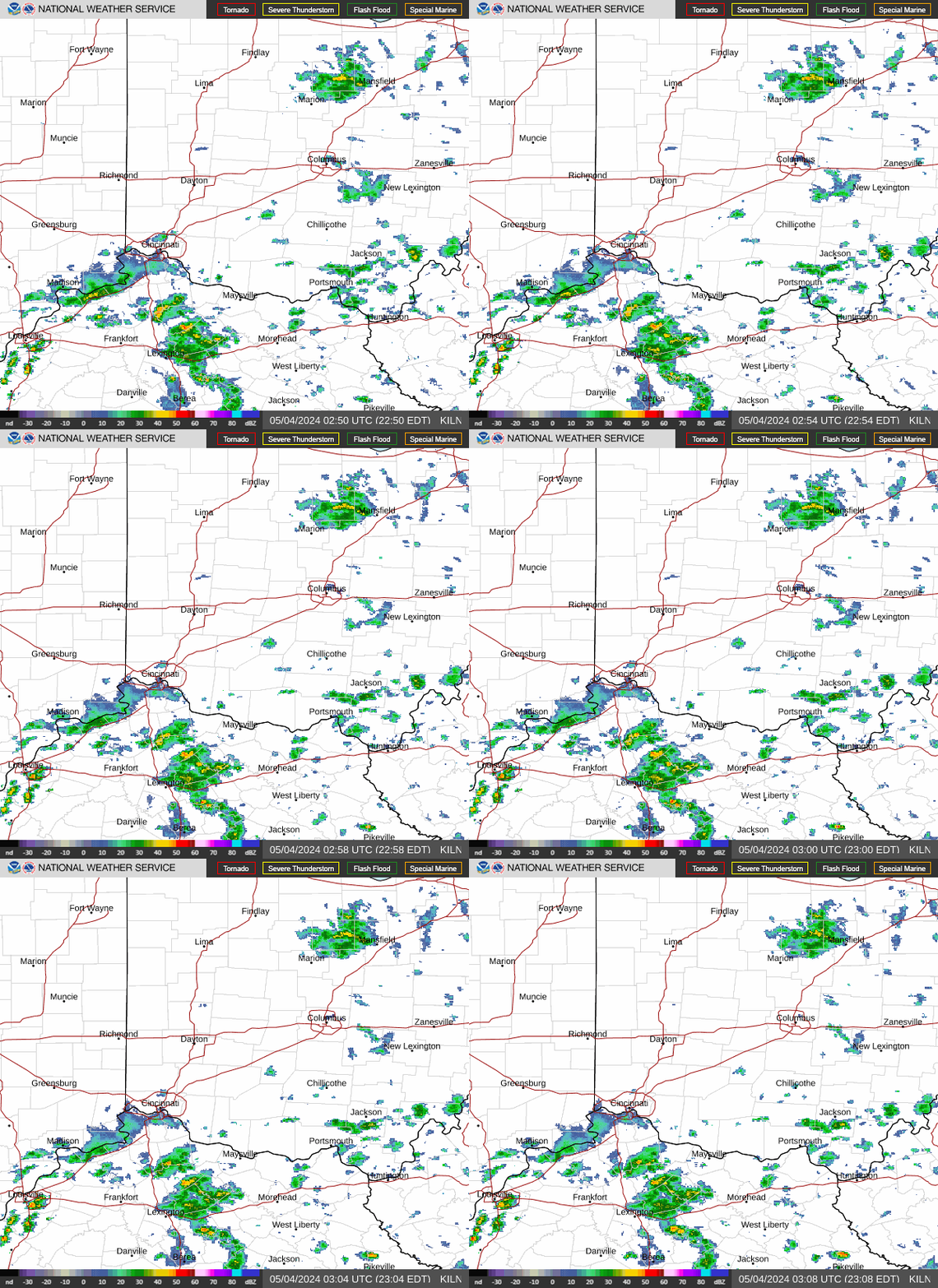 Wilmington, OH |
 Charleston, WV |
 Morristown, TN |
 Ohio Valley Visible Satellite Image (Loop) |
 Ohio Valley Infrared Satellite Image (Loop) |
 Ohio Valley Water Vapor Satellite Image (Loop) |
US Visible (Loop) |  |
| US Infrared (Loop) |  |
|||
| US Water Vapor (Loop) |  |
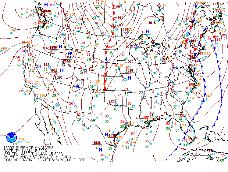 United States Surface Analysis |
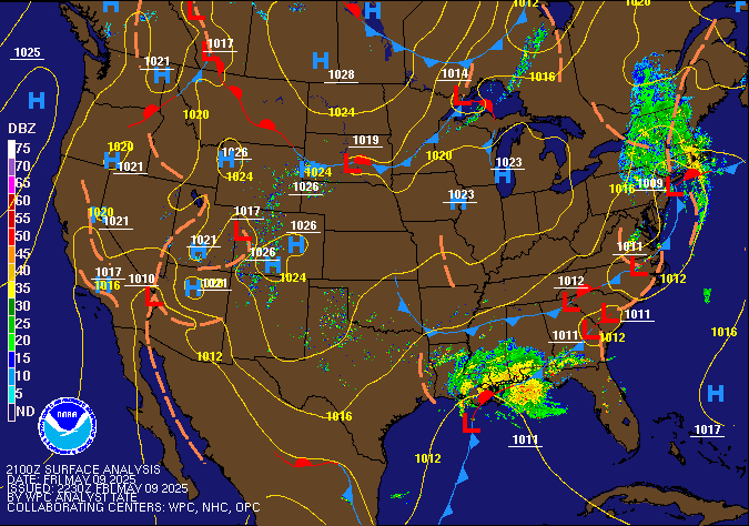 United States Surface Analysis with Radar |
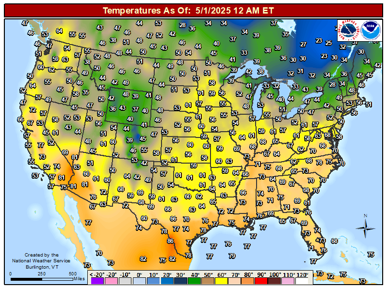 United States Current Surface Temperatures |
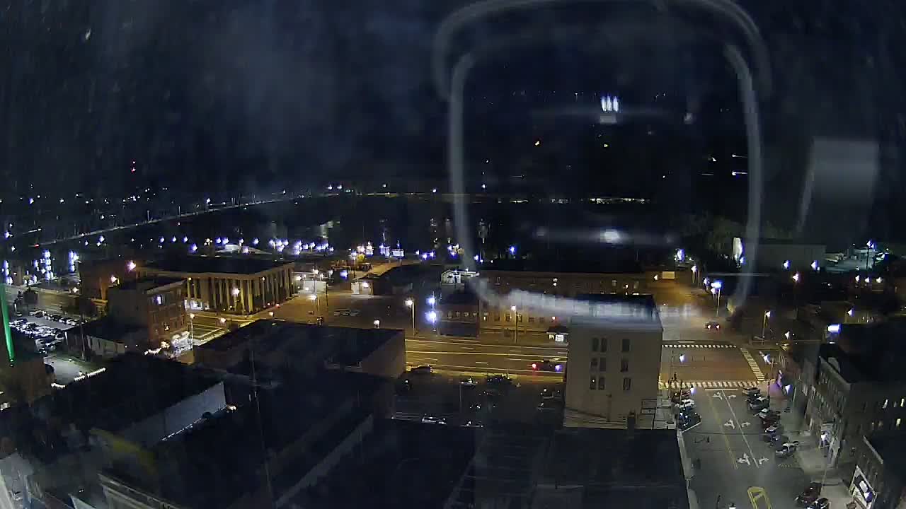
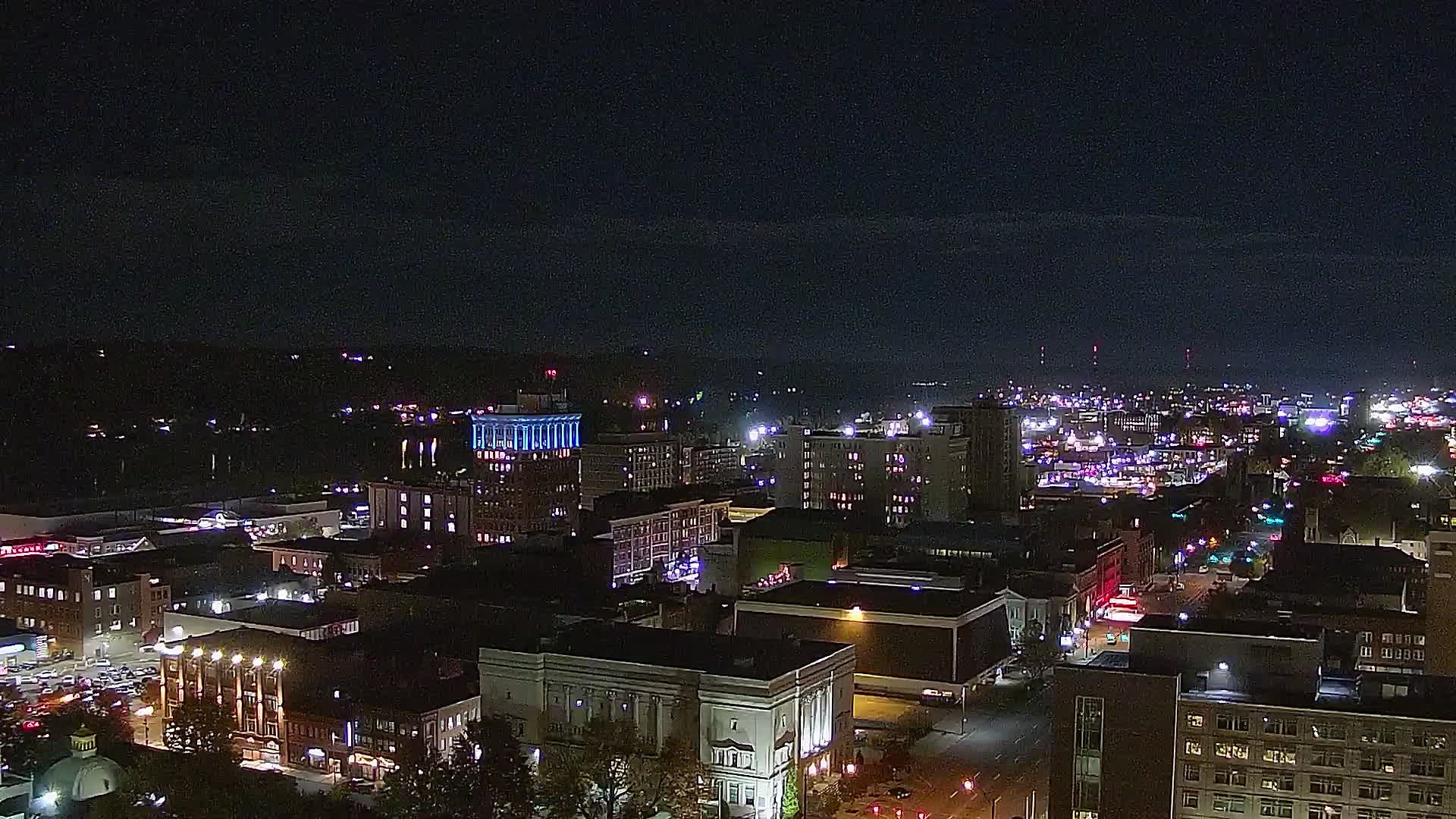
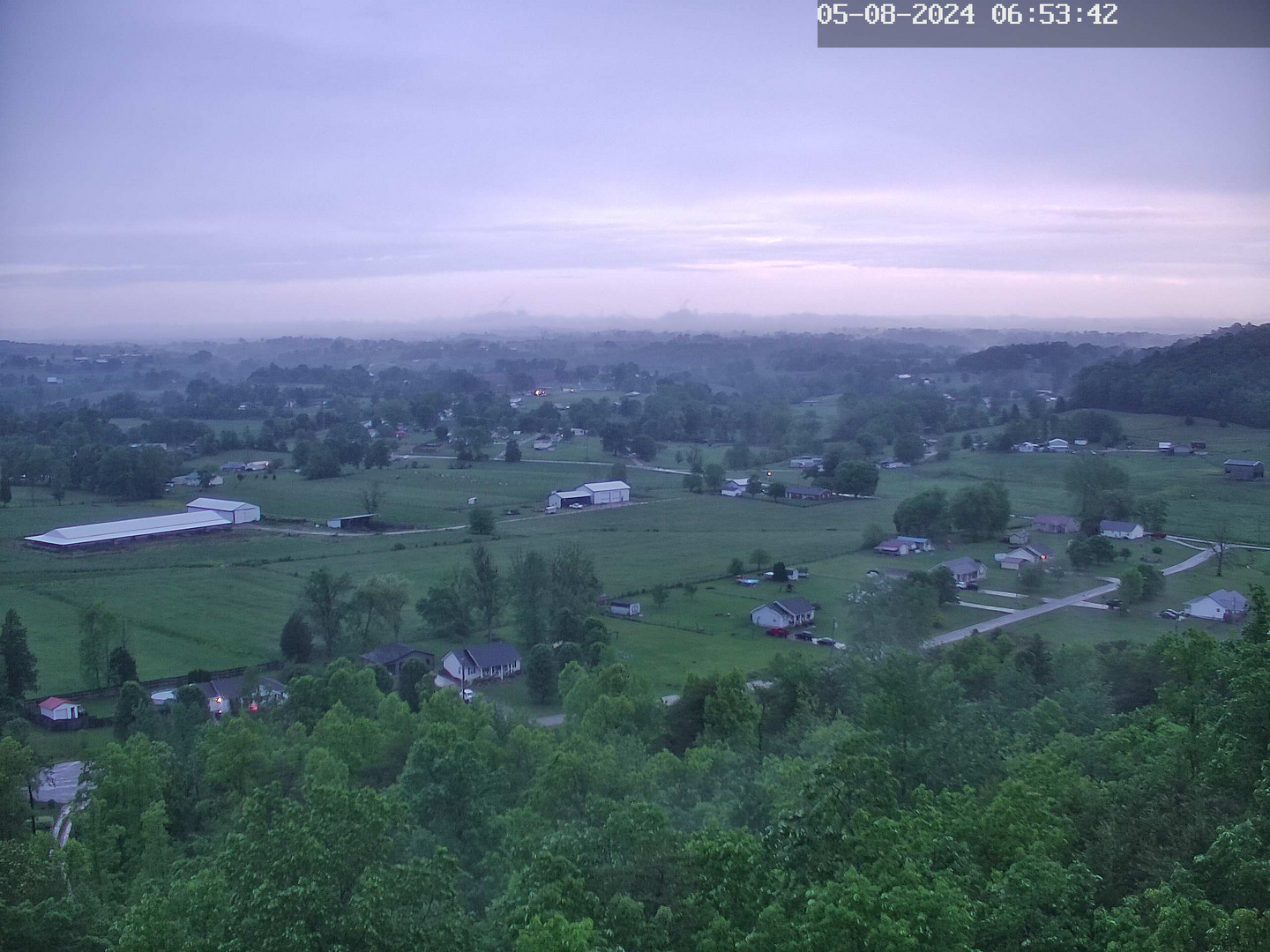
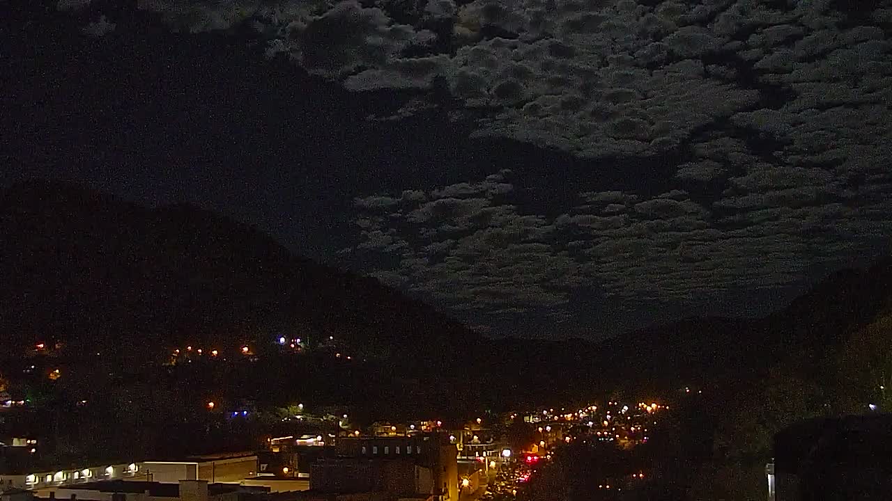
Note: Webcams are provided through third parties and may not always be up to date. Please check the time stamp on each image to ensure the image is current.
| Click on a Point for the Latest Conditions - Station Locations are Not Accurate to Street Level |
 Airport ASOS/AWOS Airport ASOS/AWOS  DOT RWIS DOT RWIS  Fire RAWS Fire RAWS  KY Mesonet KY Mesonet |
|
|
| Hourly Weather Roundups | Current Cooperative Observer Reports | Miscellaneous Links |
| East Kentucky | Eastern KY | Kentucky Mesonet |
| Rest of Kentucky | Kentucky | CoCoRaHS - Kentucky |
| Indiana | Indiana | IFLOWS | Tabular Summary |
| Ohio | Ohio | Kentucky Roadway Weather Information |
| West Virginia | West Virginia | Weather Calculator |
| Virginia | Virginia | National Precip Map |
| Tennessee | Tennessee | National Snowfall Map |
Warnings/Hazards
Decision Support - Outlooks
Current Weather Hazards
Hazards Criteria
Weather Story Graphic
Recent Storm Reports
Submit a Report
Forecasts
Decision Support - Forecast
Aviation Forecasts
Fire Weather Forecasts
Hourly Weather Forecast
Activity Planner
River Forecasts
Forecast Discussion
Current Conditions
Regional Radar
Decision Support - Current
Rivers and Lakes
Hourly Airport Weather
Local Radar
Satellite
Kentucky Mesonet
Past Weather
Local Climate Info
Temp/Precip Summary
How Much Rain Fell?
How Much Snow Fell?
Past Weather Events
Drought Information
Local Coop Observers
US Dept of Commerce
National Oceanic and Atmospheric Administration
National Weather Service
Jackson, KY
1329 Airport Road
Jackson, KY 41339
606-666-8000
Comments? Questions? Please Contact Us.


