Jackson, KY
Weather Forecast Office
Overview
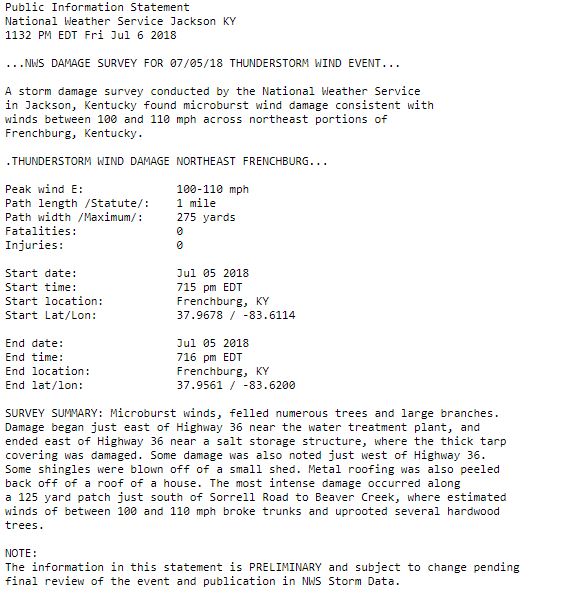
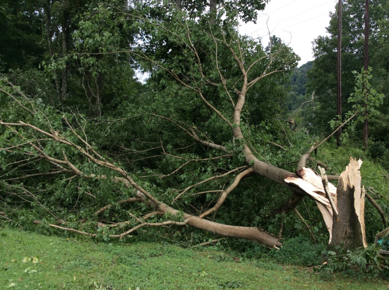
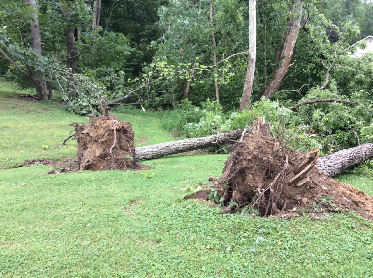
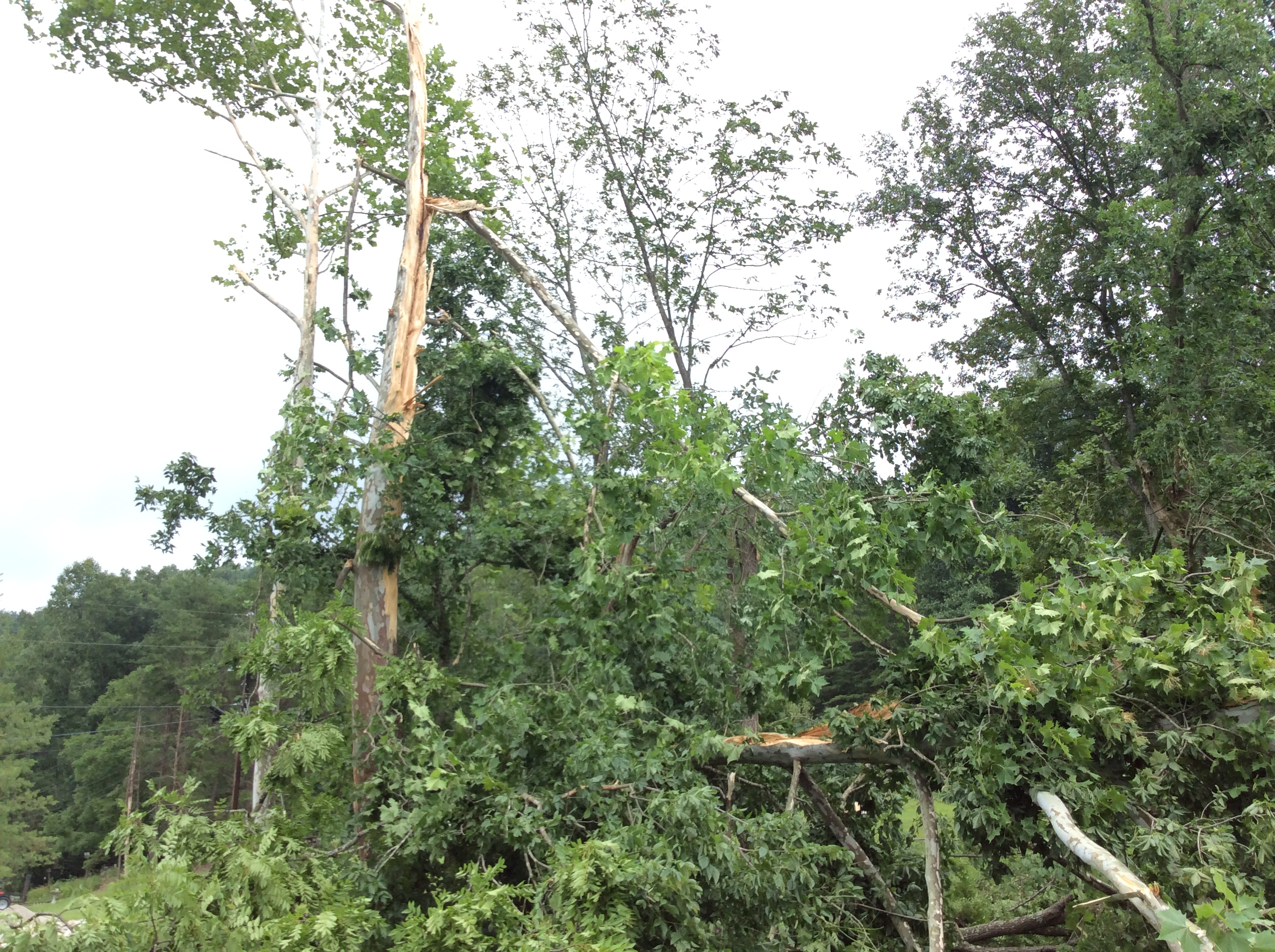
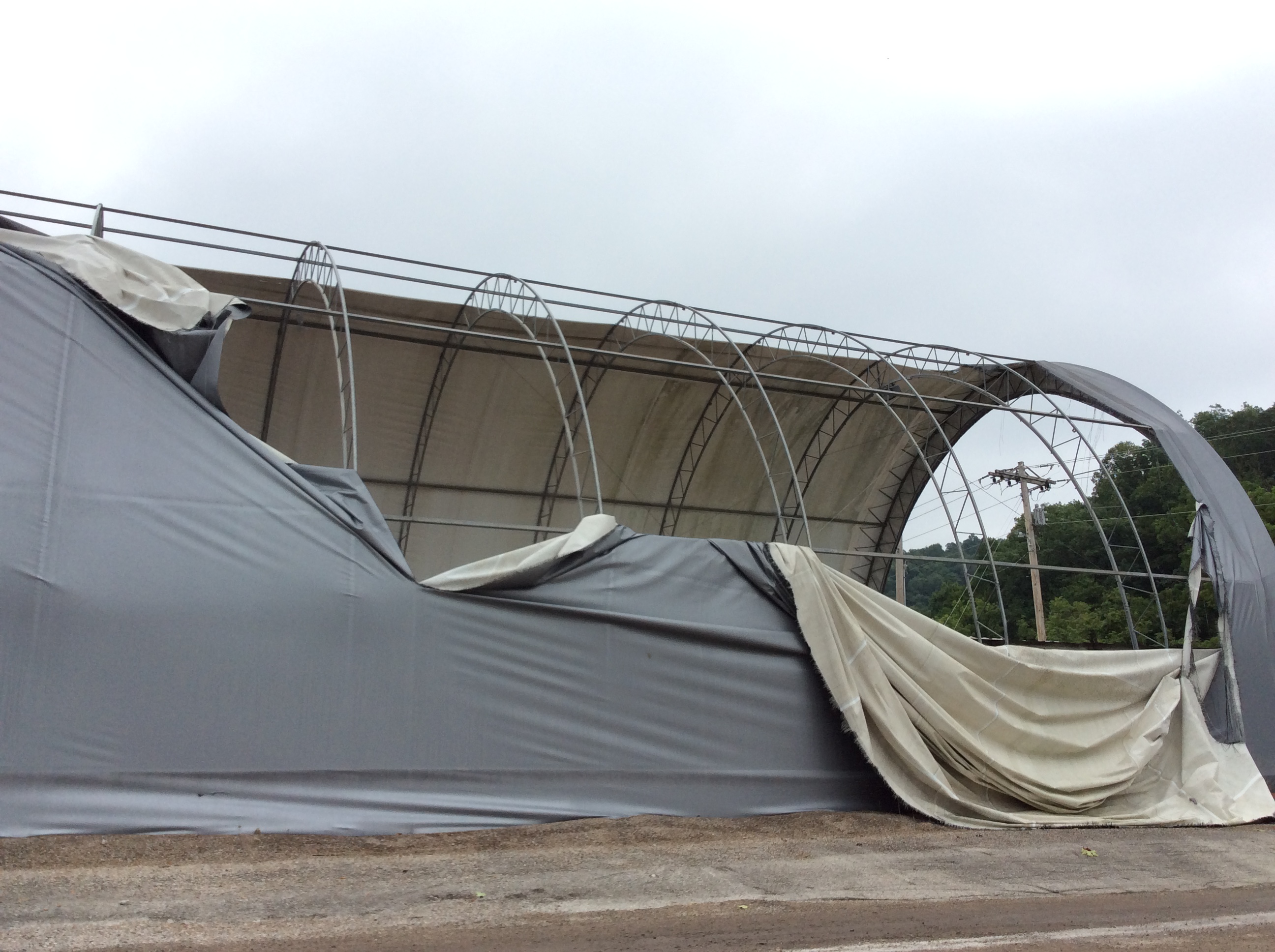
Microburst winds, peaking at 100 to 110 mph, produced damage over about a mile stretch of Highway 36 north of the center of Frenchburg, KY early Thursday evening, July 5th, 2018. The damage began just east of the highway near the water treatment plant and ended east of Highway 36 near a salt storage structure, where the thick tarp covering was torn. Some damage was also noted just west of Highway 36 where some shingles were blown off of a small shed. Metal roofing was also peeled back off of a residential roof and numerous trees were felled or damaged. The most intense damage occurred along a 125 yard patch just south of Sorrell Road to Beaver Creek, where the winds broke trunks and uprooted several hardwood trees. The winds were most likely enhanced by the terrain as they descended from the west down a hollow. They were then directed to the south by a mountain barrier, creating an intense clockwise rotating eddy.
Public Information Statement
 |
| Event Public Information Statement |
Photos
 |
 |
 |
 |
| Hardwood Tree Snapped | Multiple Hardwood Trees Uprooted |
Hardwood Tree Trunk Snapped |
Salt Storage Facility Cover Torn |
Radar
 |
| Radar Loop from 6:30-8:00pm July 5, 2018 |
 |
Media use of NWS Web News Stories is encouraged! Please acknowledge the NWS as the source of any news information accessed from this site. |
|
Warnings/Hazards
Decision Support - Outlooks
Current Weather Hazards
Hazards Criteria
Weather Story Graphic
Recent Storm Reports
Submit a Report
Forecasts
Decision Support - Forecast
Aviation Forecasts
Fire Weather Forecasts
Hourly Weather Forecast
Activity Planner
River Forecasts
Forecast Discussion
Current Conditions
Regional Radar
Decision Support - Current
Rivers and Lakes
Hourly Airport Weather
Local Radar
Satellite
Kentucky Mesonet
Past Weather
Local Climate Info
Temp/Precip Summary
How Much Rain Fell?
How Much Snow Fell?
Past Weather Events
Drought Information
Local Coop Observers
US Dept of Commerce
National Oceanic and Atmospheric Administration
National Weather Service
Jackson, KY
1329 Airport Road
Jackson, KY 41339
606-666-8000
Comments? Questions? Please Contact Us.

