Jackson, KY
Weather Forecast Office
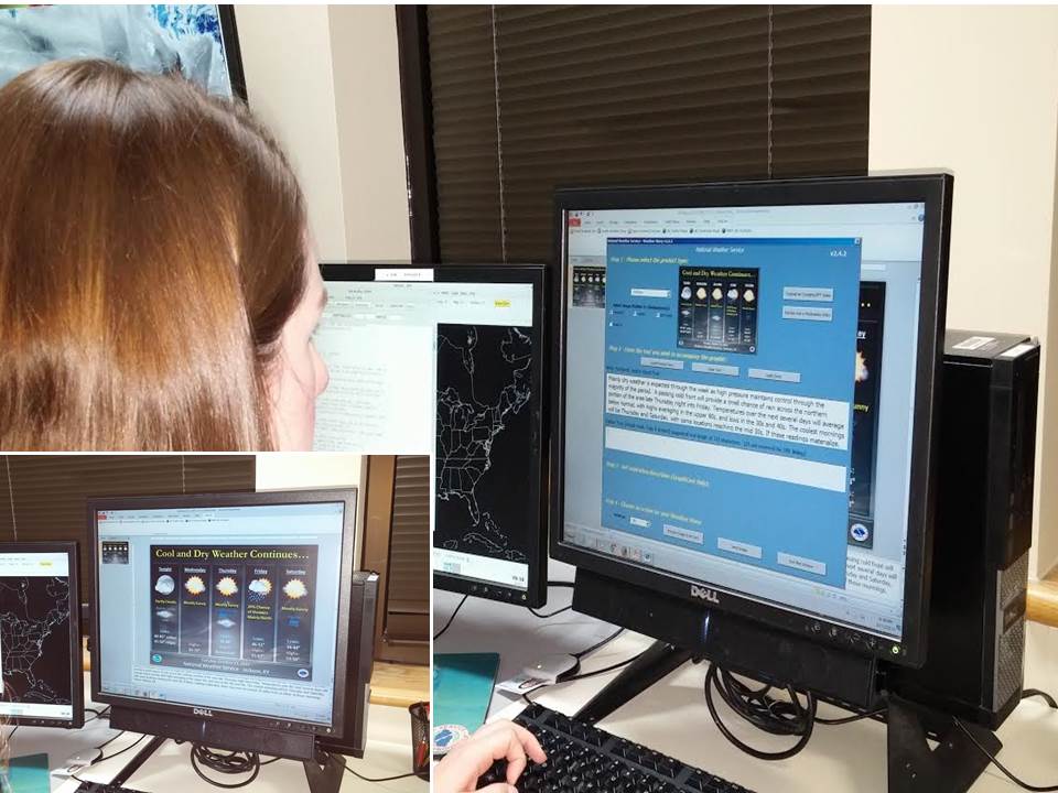
In effort to supplement the forecast package that we send out multiple times a day, forecasters will also put together a summary weather story which we post to our social media platforms, as well as to our JKL homepage (www.weather.gov/jkl). We use specialized PowerPoint software to compile these weather stories, with a goal of highlighting the most important/impactful weather information for the next several days. We also send out Graphical NowCast images, which highlight the most significant weather (if any weather is occurring) for the next few hours. These are typically made on the fly and updated multiple times throughout an event to include information such as timing and impacts.
Day 4: Issuing Severe Weather Warnings
Warnings/Hazards
Decision Support - Outlooks
Current Weather Hazards
Hazards Criteria
Weather Story Graphic
Recent Storm Reports
Submit a Report
Forecasts
Decision Support - Forecast
Aviation Forecasts
Fire Weather Forecasts
Hourly Weather Forecast
Activity Planner
River Forecasts
Forecast Discussion
Current Conditions
Regional Radar
Decision Support - Current
Rivers and Lakes
Hourly Airport Weather
Local Radar
Satellite
Kentucky Mesonet
Past Weather
Local Climate Info
Temp/Precip Summary
How Much Rain Fell?
How Much Snow Fell?
Past Weather Events
Drought Information
Local Coop Observers
US Dept of Commerce
National Oceanic and Atmospheric Administration
National Weather Service
Jackson, KY
1329 Airport Road
Jackson, KY 41339
606-666-8000
Comments? Questions? Please Contact Us.

