Overview
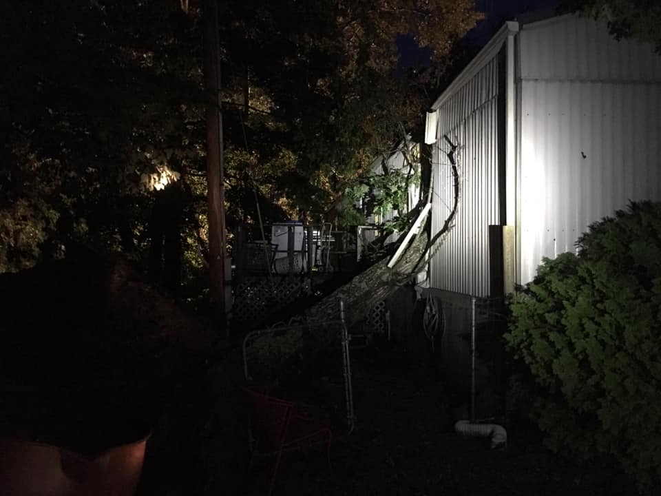
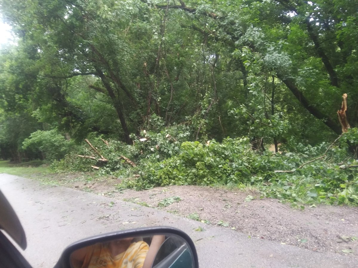
A series of Mesoscale Convective Systems (MCS) tracked across eastern Kentucky on June 21st, 23rd, and 24th, producing damaging wind gusts. The result of these 3 rounds of storms were many power outages and lots of tree damage. The event on the 24th saw many trees landing on residences, causing some damage to buildings. Fortunately, no injuries were reported with all 3 events.Photos
June 21st:
|
|
 |
 |
 |
| Tree Damage on Highway 90 near Monticello - Photo courtesy of Collin Bell | Snapped trees on Highway 90 near Monticello - Photo courtesy of Collin Bell | Collapsed Firework Tent in Monticello - Photo courtesy of WYMT | Snapped tree on Highway 90 near Monticello - Photo courtesy of WYMT |
June 23rd:
 |
 |
 |
 |
| East Bernstadt - Photo courtesy of East Bernstadt Fire & Rescue | East Bernstadt - Photo courtesy of East Bernstadt Fire & Rescue | East Bernstadt - Photo courtesy of East Bernstadt Fire & Rescue |
East Bernstadt - Photo courtesy of East Bernstadt Fire & Rescue |
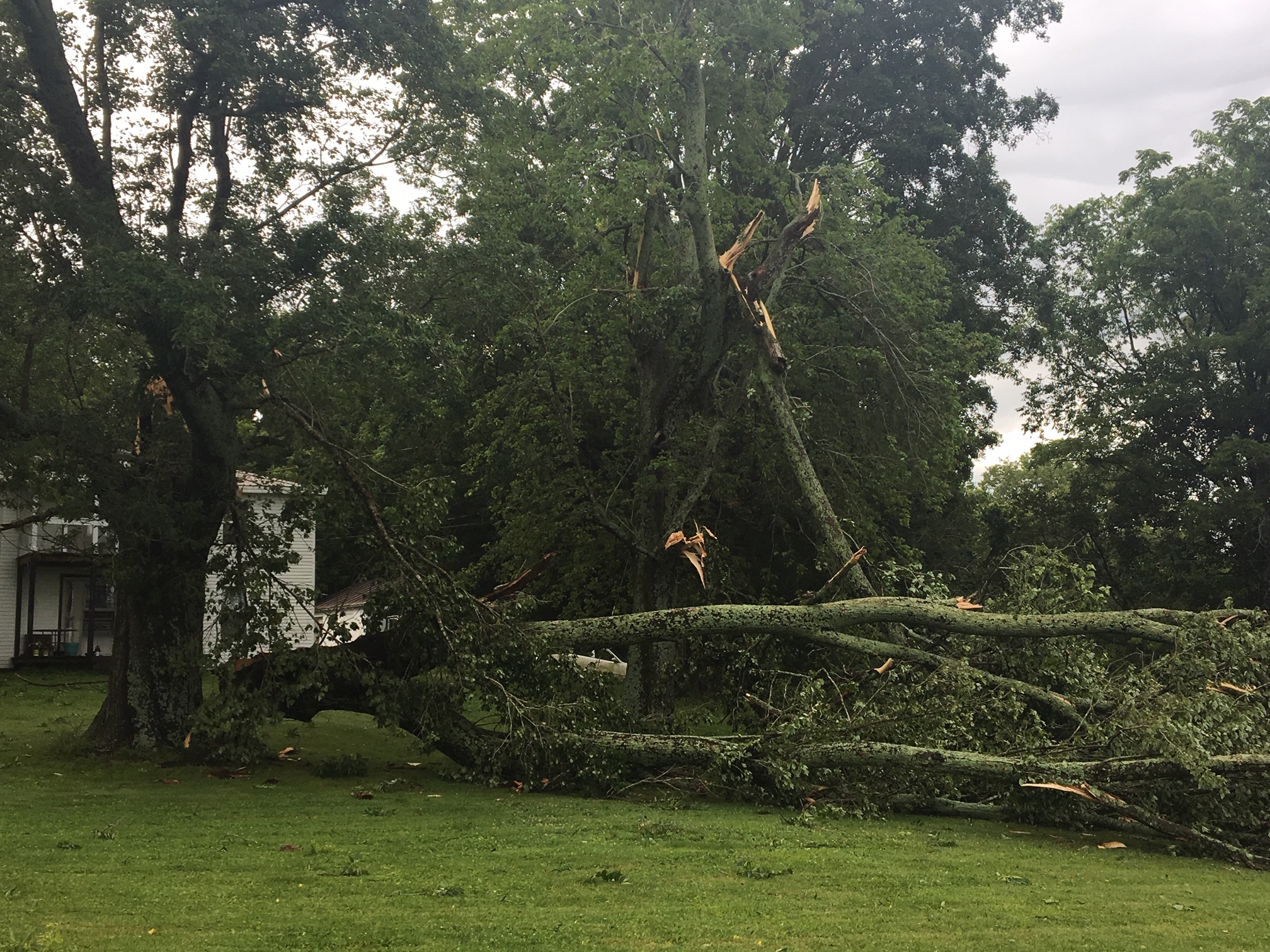
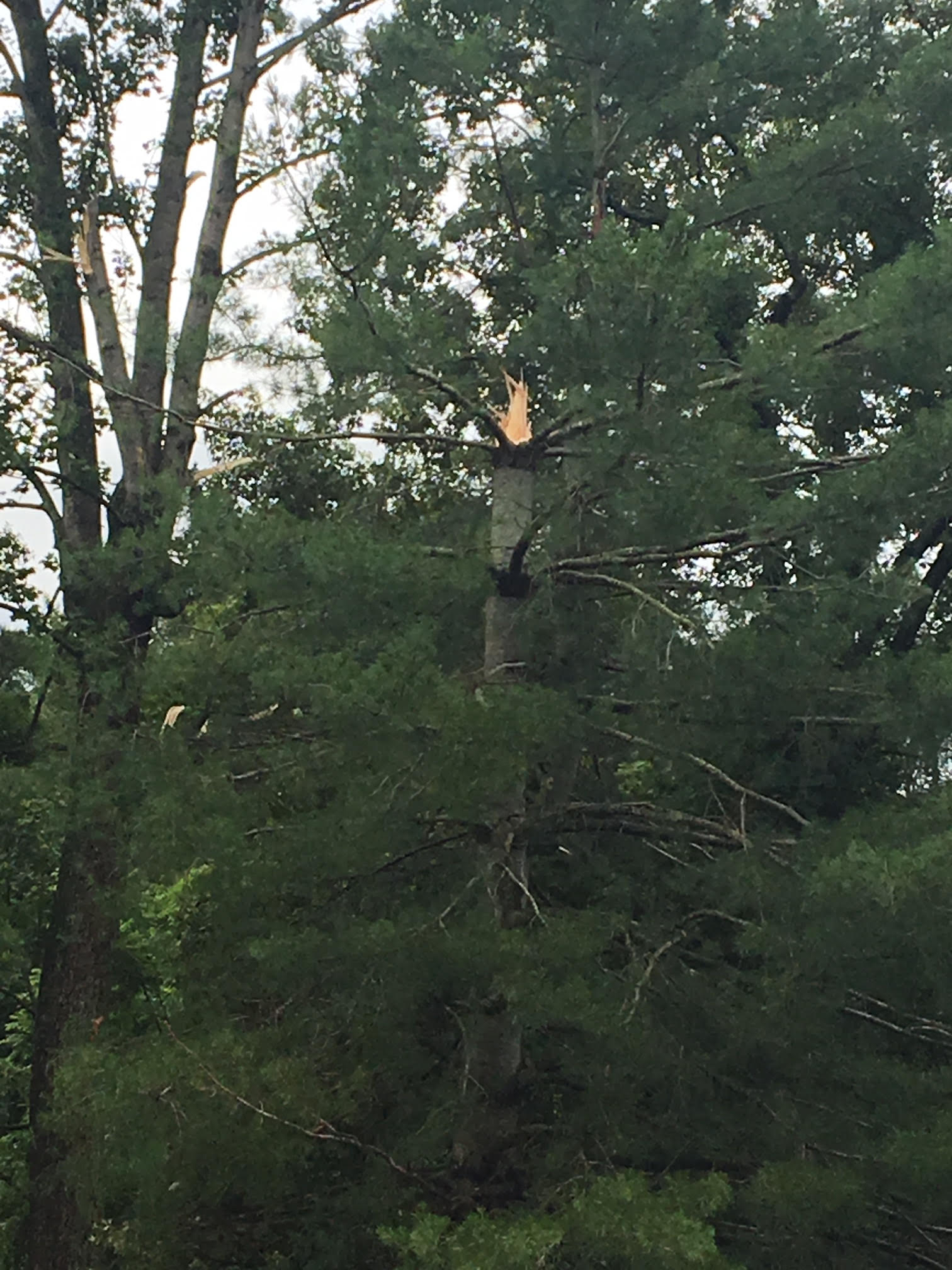
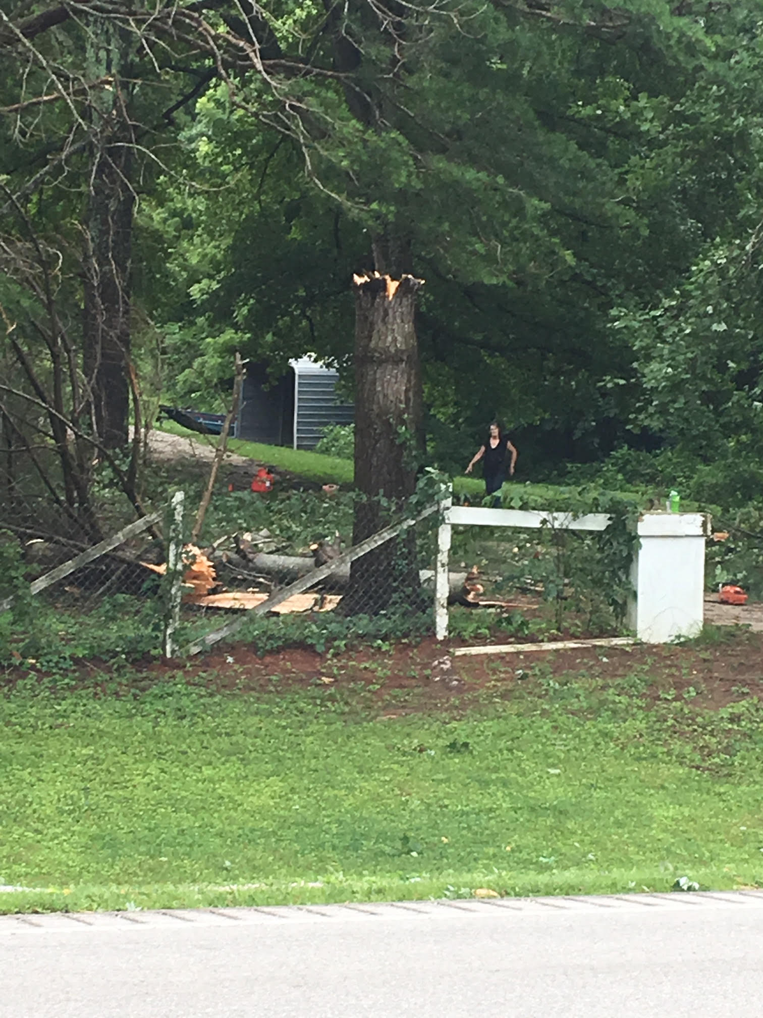
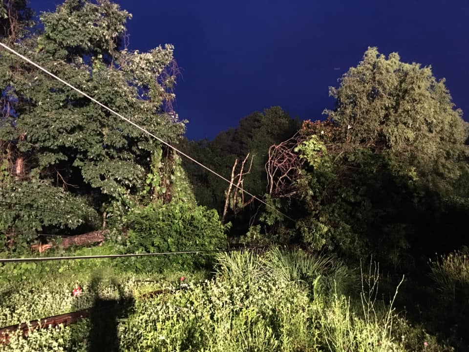
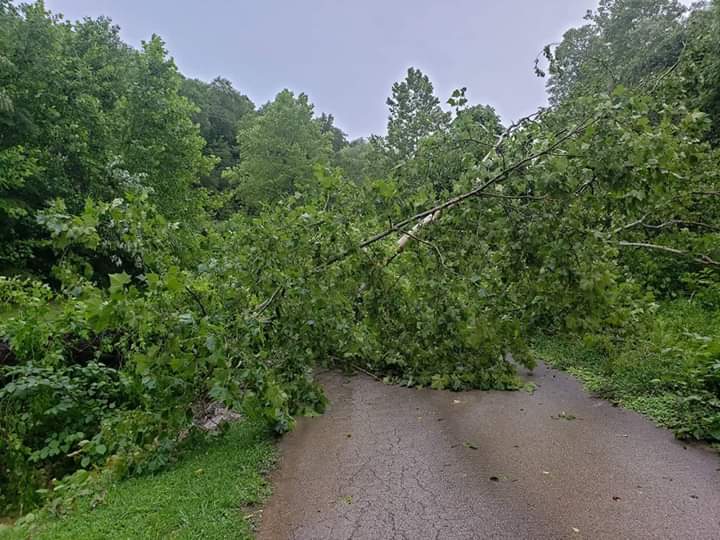
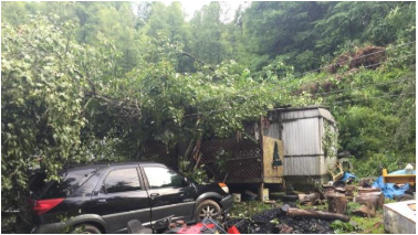
June 24th:
 |
 |
 |
 |
| Trees downed on Old Buck Road near Turkey - Photo courtesy of Johnny Ray Feltner | A tree and powerlines blown onto a home in Island City - Photo courtesy of WKYT | Tree on a house in Rousseau in Breathitt County - Photo courtesy of WYMT | Downed trees on Wolverine Road near Jackson - Photo courtesy of Johnny Ray Feltner |
Radar
Radar loops from all 3 storm systems:
| 9 pm, June 21st - 2 am June 22nd | 5 - 11 pm, June 23rd | 2 - 8 pm, June 24th |
Storm Reports
| Local Storm Reports received from June 21-24, 2019 | ||
 |
||
 |
Media use of NWS Web News Stories is encouraged! Please acknowledge the NWS as the source of any news information accessed from this site. |
|