
Showers and thunderstorms will continue along and ahead of a cold front for the eastern third of the country. The rainfall for the Great Lakes region could prolong the ongoing flooding. Much cooler weather will filter in behind this cold front along and east of the Rockies. Where the rain is needed, the Southern High Plains, critical fire weather concerns through this weekend. Read More >
Overview
|
The first significant winter storm of 2025 brought snow and ice to all of Kentucky, January 5th and 6th of 2025. A deep surface low tracked across southern Kentucky, bringing snow, some sleet, freezing rain and rain to all of eastern Kentucky. As the morning unfolded on the 5th, temperatures were in the low to mid 20 across the area. Snow began to fall across western counties first, such as Rockcastle, Jackson, Estill, Powell as early as 9 am. Bands were intense with snowfall rates up to 1 inch per hour which quickly covered roadways. By 10 am reports of freezing rain began coming out of Whitley county, as a layer of above freezing air aloft nosed in and led to snow transitioning to freezing rain and eventually rain at most locations. As the system progressed eastward, temperatures remained in the upper 20s to low 30s through the overnight, except briefly surging into the 40s along and south of the Hal-Rogers/KY-80 corridor. Through the evening and overnight, freezing rain continued to fall further north with the heaviest icing occurring along the US-460 corridor. Highest icing amounts were observed across Menifee and Morgan counties where 0.50-0.75 inches of flat ice accretion were reported. The icing led to significant impacts, with many thousands of customers losing power. The most power outages were across a narrow corridor extending through Menifee, Morgan, Johnson, and Martin counties. Power was not fully restored in the hardest hit areas until Saturday, January 11th. Many trees were unrooted, snapped or damaged due to ice accretion. Accumulating snow was observed across all of eastern Kentucky, with the highest amounts seen northeast of US-421, where generally 3-7 inches of snow were observed. |
.jpg) Sun Rays Illuminating Ice Accretion On Trees In Montgomery County (Courtesy of Mike Ginnick) |
Snow Reports
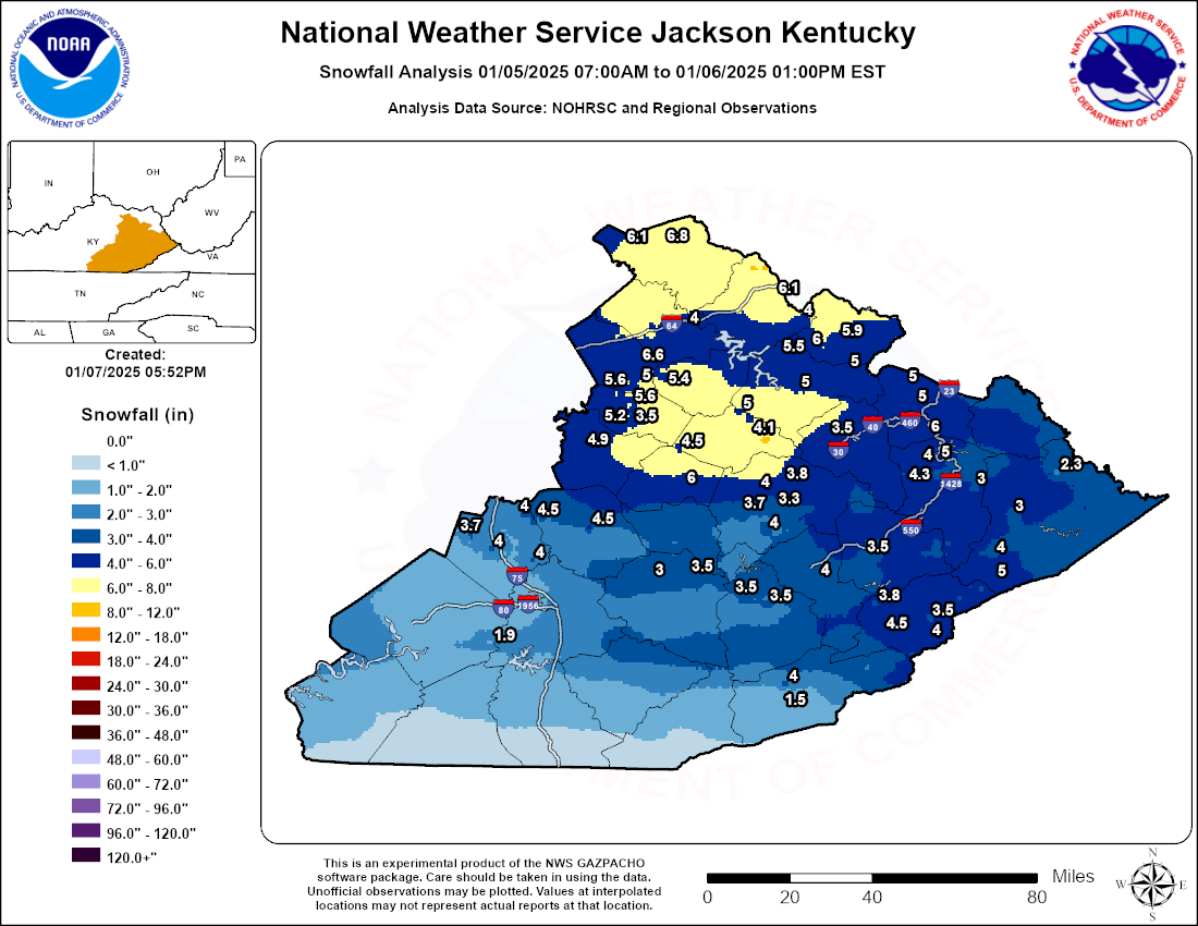
...SNOWFALL REPORTS...

Location                     Amount    Time/Date       Lat/Lon

...Kentucky...

...Bath County...
Polksville                   4.0 in    0143 PM 01/05   38.14N/83.66W

...Breathitt County...
Whick                        4.0 in    0100 PM 01/05   37.42N/83.38W
Jackson                      4.0 in    0125 PM 01/05   37.56N/83.38W
Quicksand                    3.3 in    0348 PM 01/05   37.53N/83.35W

...Clay County...
1 SE Sacker Gap              3.0 in    0400 PM 01/05   37.25N/83.78W

...Elliott County...
Sandy Hook                   5.9 in    0920 PM 01/05   38.09N/83.12W
3 W Little Sandy             5.5 in    0517 PM 01/05   38.07N/83.23W

...Estill County...
Weedon                       4.9 in    0345 PM 01/05   37.71N/84.02W

...Floyd County...
1 SW Prestonsburg            5.0 in    0508 PM 01/05   37.67N/82.77W
2 ENE Dotson                 4.0 in    0219 PM 01/05   37.66N/82.83W

...Jackson County...
Mckee                        4.5 in    1200 PM 01/05   37.43N/84.00W

...Johnson County...
Paintsville                  6.0 in    0320 PM 01/05   37.82N/82.81W
Staffordsville               6.0 in    0530 PM 01/05   37.83N/82.84W
Wittensville                 5.0 in    0339 PM 01/05   37.87N/82.80W
1 WSW Wittensville           5.0 in    0341 PM 01/05   37.86N/82.81W
Flatgap                      5.0 in    1000 PM 01/05   37.93N/82.89W

...Knott County...
Carrie                       3.5 in    0115 PM 01/05   37.34N/83.03W

...Lee County...
1 ESE Maloney                6.0 in    0800 PM 01/05   37.58N/83.66W
Zachariah                    4.5 in    0200 PM 01/05   37.70N/83.68W

...Leslie County...
Hyden                        3.5 in    1245 PM 01/05   37.16N/83.37W
Thousandsticks               3.5 in    0137 PM 01/05   37.19N/83.43W

...Letcher County...
1 SSW Carcassonne            3.8 in    0150 PM 01/05   37.17N/82.99W
1 SSW Ermine                 3.5 in    1231 PM 01/05   37.11N/82.80W

...Magoffin County...
Salyersville                 3.5 in    0130 PM 01/05   37.75N/83.06W

...Menifee County...
Wellington                   7.0 in    0629 PM 01/05   37.92N/83.50W

...Montgomery County...
2 SSW Bean                   5.6 in    0300 PM 01/05   37.92N/83.85W
Jeffersonville               5.0 in    0415 PM 01/05   37.97N/83.83W
1 S Oggs Station             5.0 in    0430 PM 01/05   38.01N/83.82W

...Morgan County...
Crockett                     5.0 in    0400 PM 01/05   37.99N/83.09W
West Liberty                 5.0 in    0419 PM 01/05   37.91N/83.27W

...Perry County...
Hazard                       4.0 in    0100 PM 01/05   37.25N/83.20W

...Pike County...
Dorton                       5.0 in    0346 PM 01/05   37.28N/82.58W
Virgie                       4.0 in    0120 PM 01/05   37.33N/82.58W
Pikeville                    3.0 in    0220 PM 01/05   37.48N/82.51W
Sidney                       2.3 in    0346 PM 01/05   37.63N/82.35W

...Powell County...
Clay City                    4.5 in    0400 PM 01/05   37.86N/83.93W
1 SSE Stanton                3.5 in    1243 PM 01/05   37.83N/83.85W

...Rockcastle County...
Gauley                       4.0 in    1138 AM 01/05   37.32N/84.20W
Climax                       4.0 in    0232 PM 01/05   37.47N/84.23W
1 SSE Mount Vernon           4.0 in    0500 PM 01/05   37.35N/84.34W

...Rowan County...
1 E Wagner Store             4.0 in    0330 PM 01/05   38.17N/83.25W

...Wolfe County...
1 S Maytown                  5.0 in    0407 PM 01/05   37.84N/83.47W
1 SSW Murphyfork             4.1 in    0424 PM 01/05   37.81N/83.43W

Observations are collected from a variety of sources with varying
equipment and exposures. We thank all volunteer weather observers
for their dedication. Not all data listed are considered official.
Ice Reports
...FREEZING RAIN REPORTS...

Location                     Amount    Time/Date       Lat/Lon

...Kentucky...

...Breathitt County...
NWS Office/Julian Carroll Ai 0.47 in   0953 AM 01/06   37.59N/83.32W
1 NNW Quicksand              0.16 in   0747 AM 01/06   37.54N/83.35W

...Elliott County...
3 W Little Sandy             0.32 in   0940 AM 01/06   38.07N/83.23W

...Fleming County...
Elizaville                   0.30 in   0700 AM 01/06   38.42N/83.83W

...Laurel County...
London-Corbin Apt            0.27 in   1253 AM 01/06   37.08N/84.07W

...Letcher County...
Whitesburg                   0.10 in   0700 AM 01/06   37.12N/82.83W

...Menifee County...
1 E Rothwell                 0.75 in   0903 PM 01/06   37.96N/83.68W
1 W Wellington               0.75 in   0708 PM 01/06   37.92N/83.51W
2 SE Frenchburg              0.67 in   0728 PM 01/06   37.94N/83.60W
Wellington                   0.67 in   0712 PM 01/06   37.91N/83.51W
1 SE Wellington              0.60 in   0654 PM 01/06   37.91N/83.49W
1 W Cornwell                 0.48 in   0800 PM 01/06   37.96N/83.74W
Frenchburg                   0.32 in   0739 PM 01/06   37.95N/83.63W

...Montgomery County...
2 SW Bean                    0.45 in   0630 AM 01/06   37.93N/83.86W
1 S Oggs Station             0.36 in   1205 PM 01/06   38.01N/83.82W

...Morgan County...
Ezel                         0.71 in   0637 PM 01/06   37.89N/83.45W
1 WSW Greear                 0.60 in   0610 PM 01/06   37.87N/83.32W
1 WSW Mize                   0.52 in   0623 PM 01/06   37.86N/83.39W

...Powell County...
Stanton                      0.36 in   0649 AM 01/06   37.84N/83.86W

...Wolfe County...
1 ESE Jenson                 0.44 in   0715 AM 01/06   37.77N/83.62W

Observations are collected from a variety of sources with varying
equipment and exposures. We thank all volunteer weather observers
for their dedication. Not all data listed are considered official.
Photos
 |
 |
 |
 |
 |
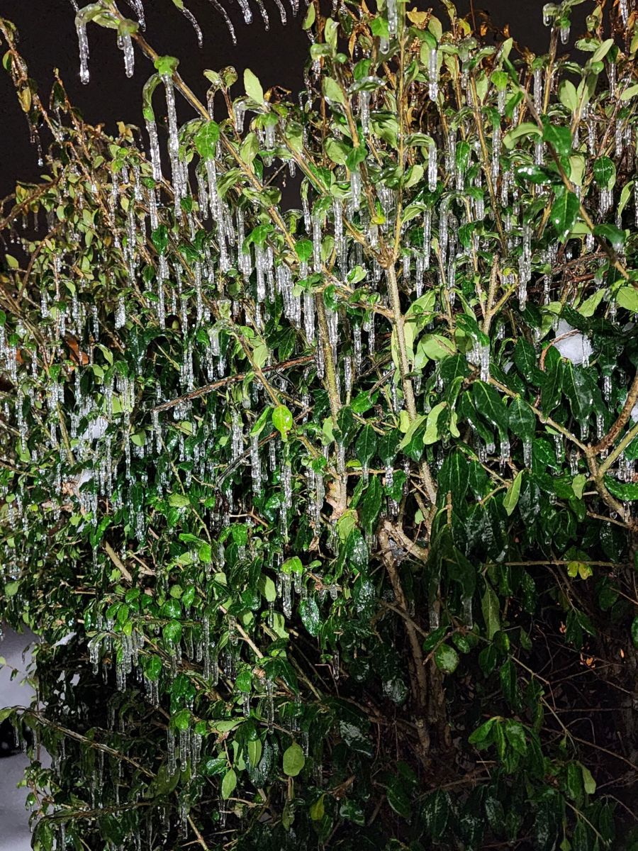
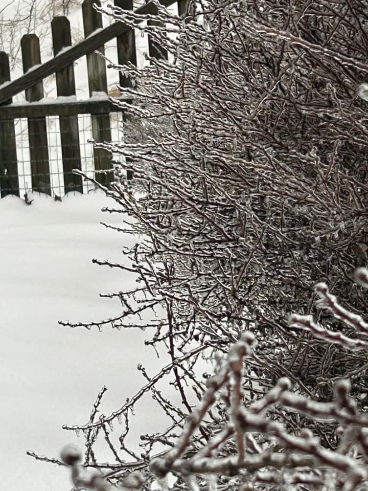
| Freezing Rain On Shrubs (Johnson County) (Courtesy of Angela Lykins) |
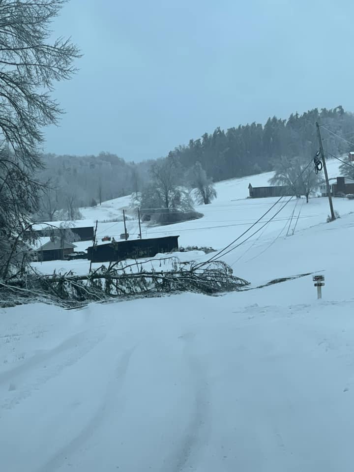
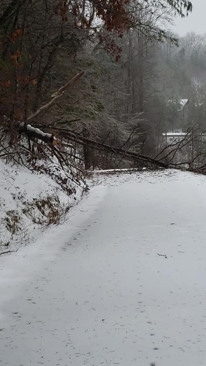
Trees On Powerlines & Over Road (Wolfe County) (Courtesy of Sylvia Peyton) |
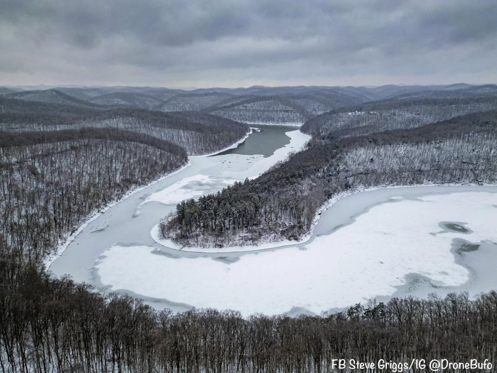
Areal Photo of Cave Run Lake (Rowan County) (Courtesy of Steve Griggs) |
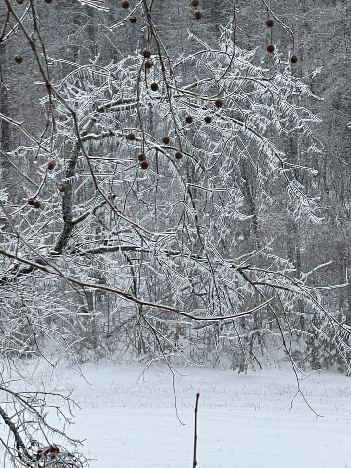
Freezing Rain On Crabapple Tree (Morgan County) (Courtesy of Amanda Adkins) |
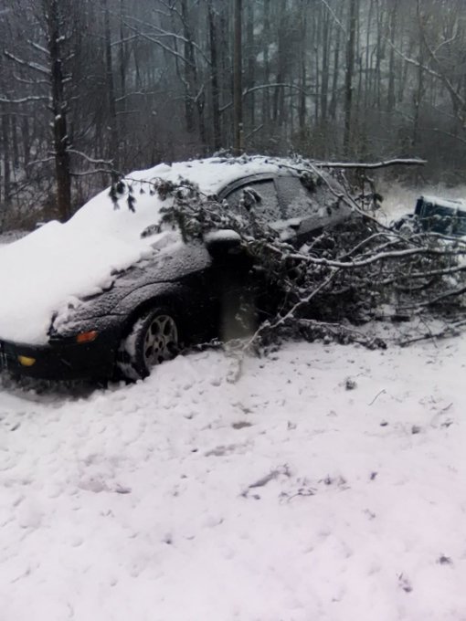
Tree Branches Fell On Car (Breathitt County) (Courtesy of Johnny Ray Feltner) |
 |
 |
 |
 |
 |
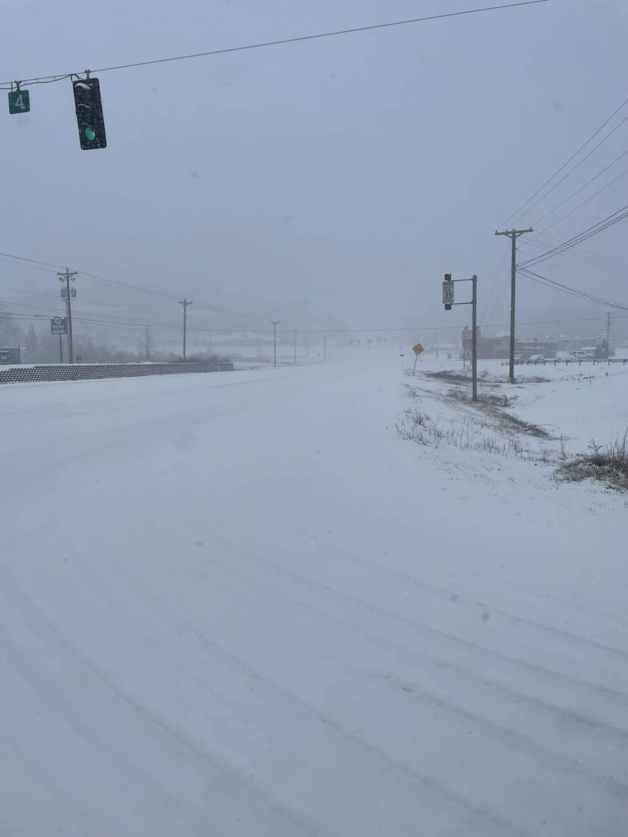
| Snow On KY32 Near Wal-Mart (Rowan County) (Courtesy of Rowan County Sheriff ) |
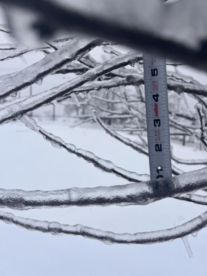
Freezing Rain On Tree Branches In Wellington (Menifee County) (Courtesy of Racquel Menifee) |
Trees Down On Profitt Fork Road (Wolfe County) (Courtesy of Johnny Ray Feltner) |
Ice Accretion On Shrubs In West Liberty (Morgan County) (Courtesy of Kim Standafer) |
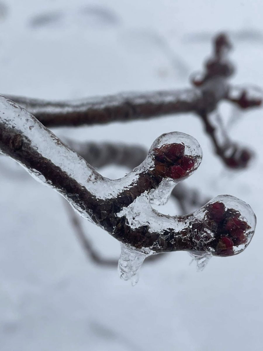
Tree Buds Incased In Ice, Zachariah (Lee County) (Courtesy of Christie Abrams) |
 |
.jpg) |
 |
 |
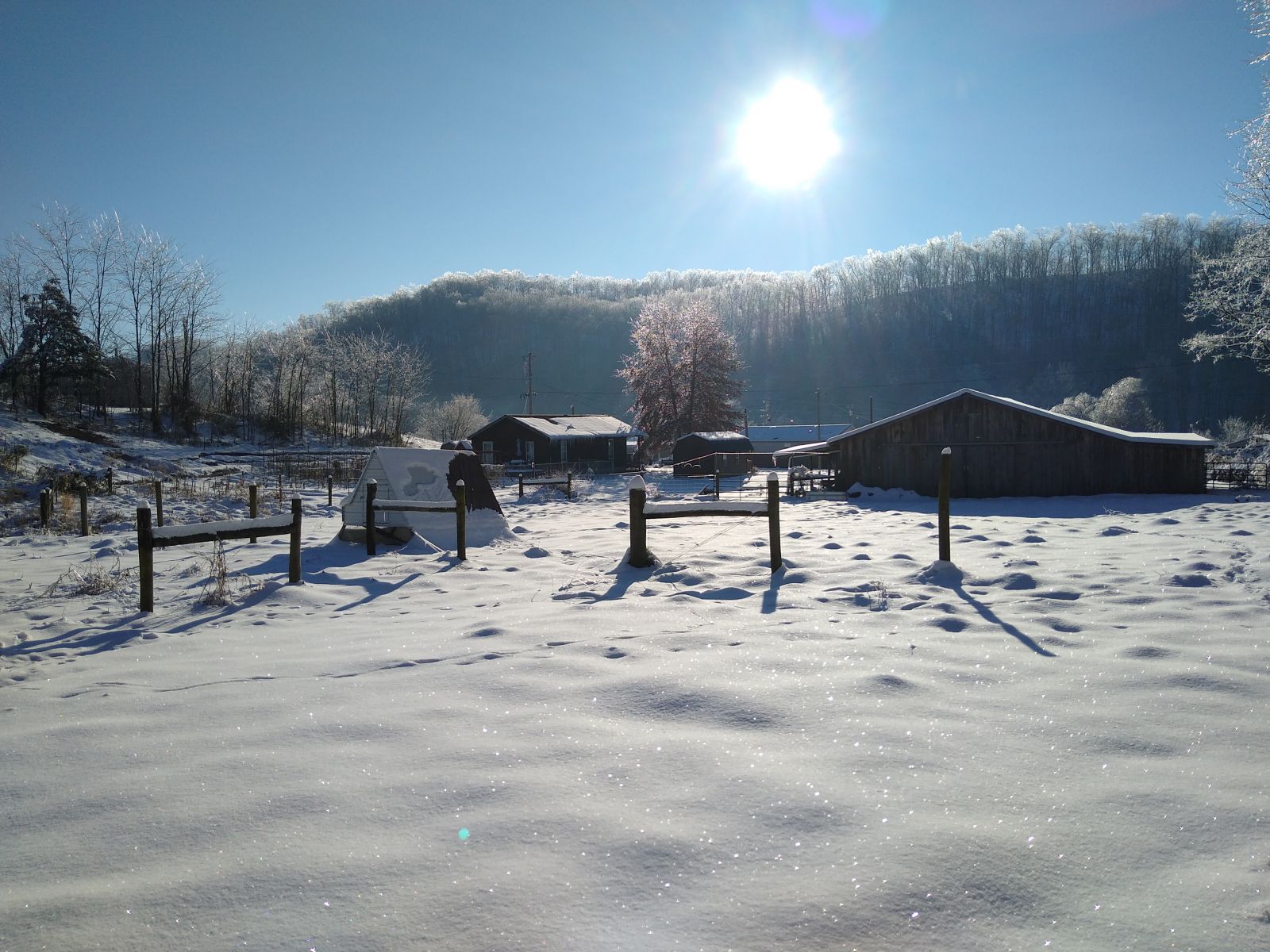
| Icy Farmstead (Menifee County) (Courtesy of Philomon Geertson) |
Ice Encrusted Bird Feeder Furnace Mountain (Powell County) (Courtesy of Koula Collinsworth Knox) |
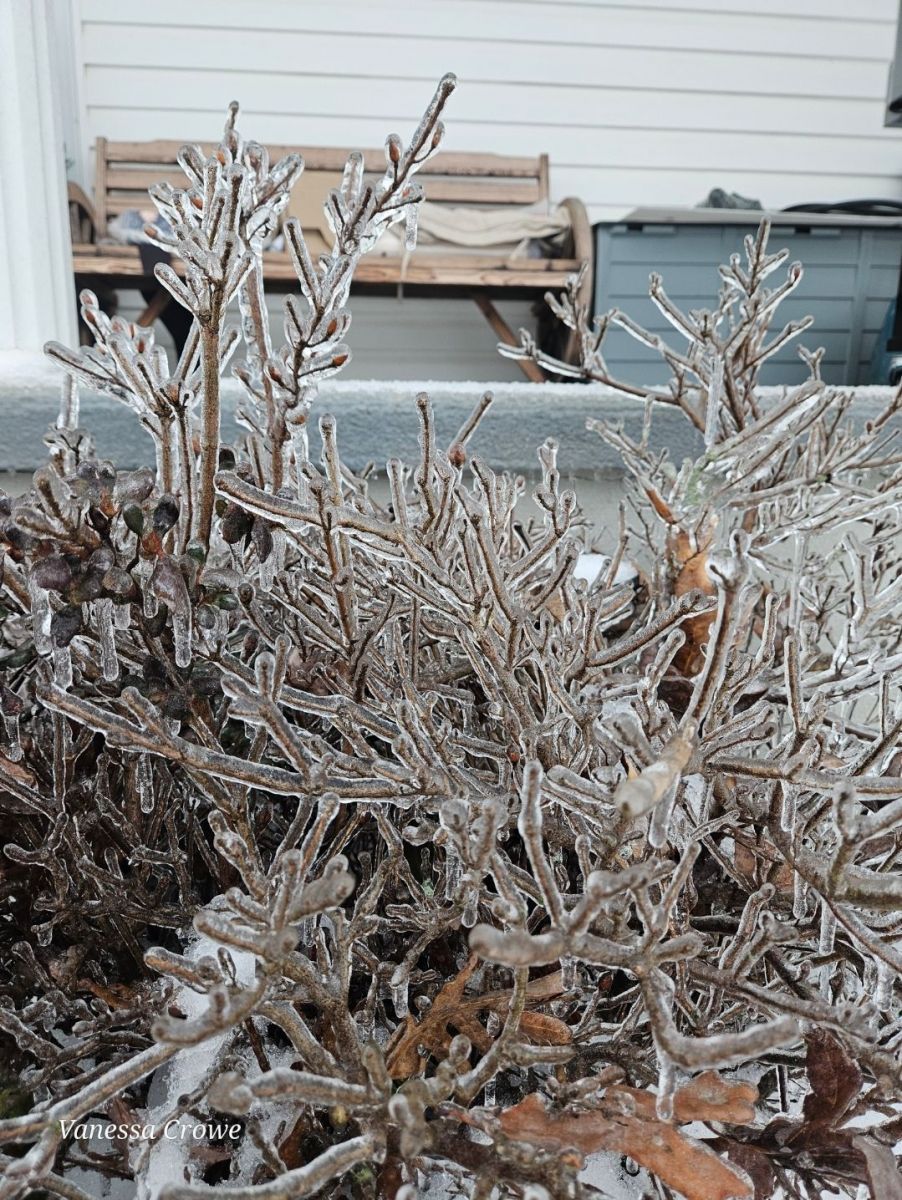
Freezing Rain On Shrubs Jeffersonville (Montgomery County) (Courtesy of Vanessa Crowe) |
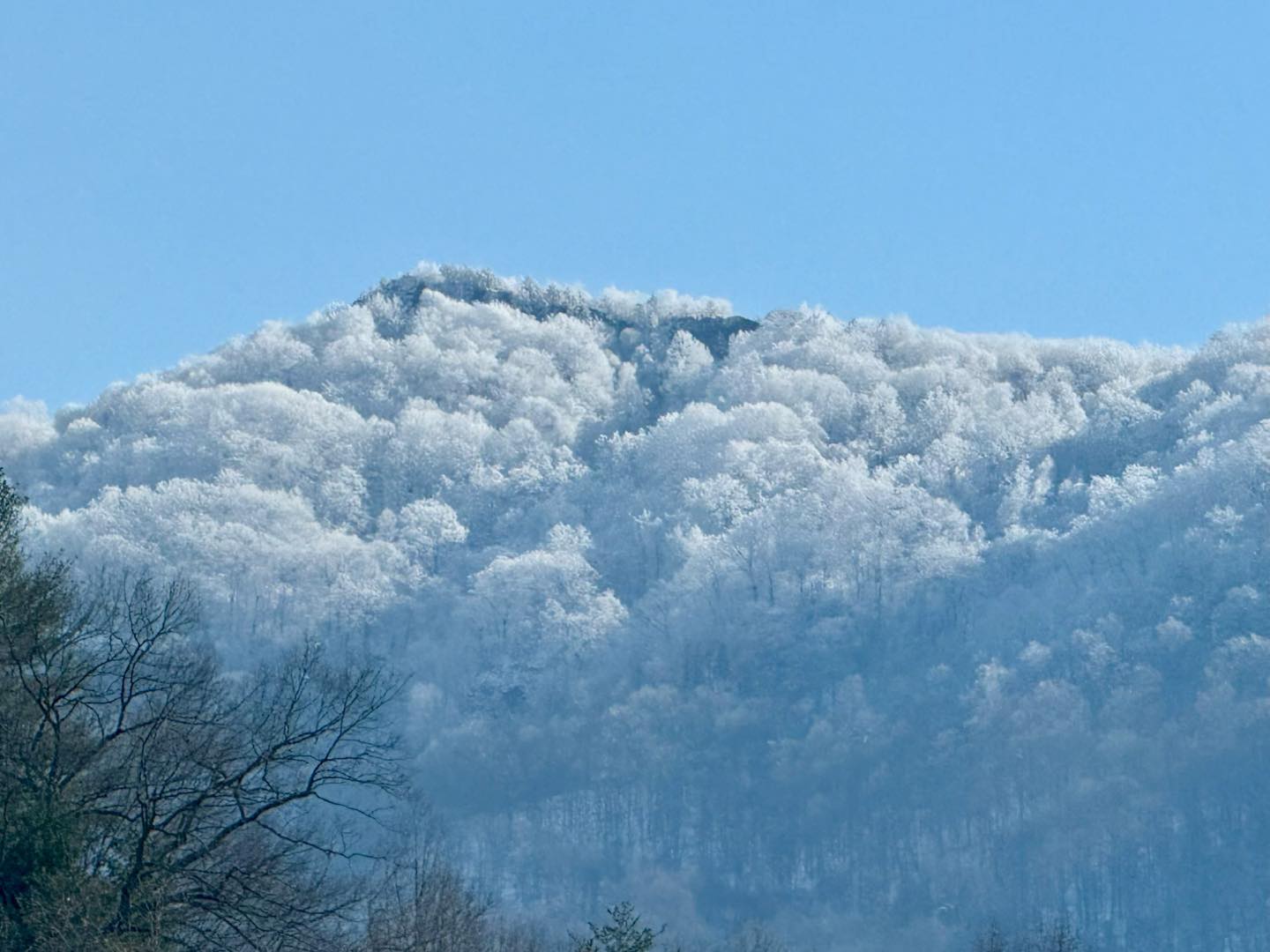
Icy Mountain Scene (Letcher County) (Courtesy of Letcher County Tourism) |
 |
Media use of NWS Web News Stories is encouraged! Please acknowledge the NWS as the source of any news information accessed from this site. |
 |