Dangerous heat will expand from the Gulf Coast into the Southern Plains and Desert Southwest through week's end. Additional extreme heat impacting the Pacific Northwest will shift to the northern Plains by the weekend. Tropical Storm Bertha is expected to continue to impact portions of the northern Gulf Coast from the western Florida Panhandle to southeastern Louisiana through tonight. Read More >
Jackson, KY
Weather Forecast Office
Overview
|
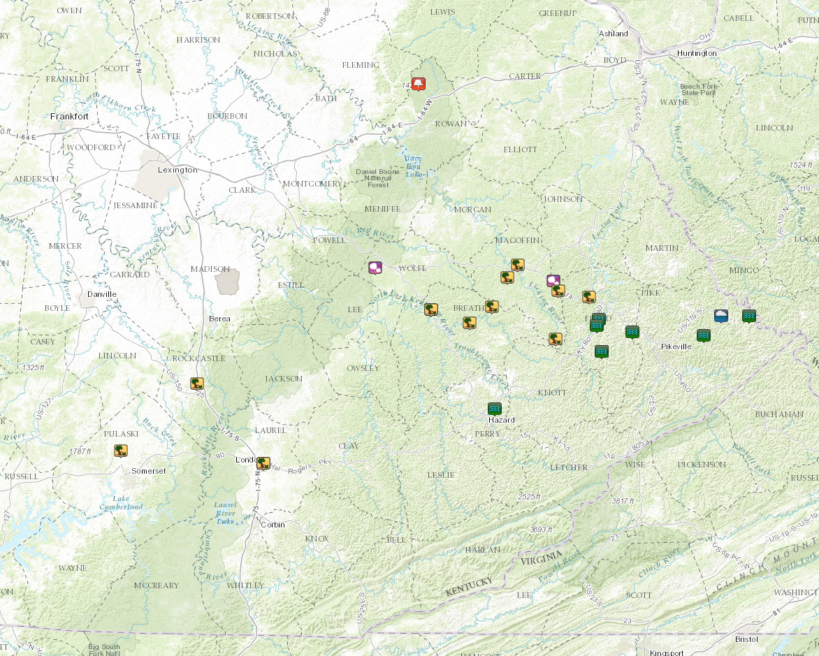
Numerous thunderstorms developed this morning and early afternoon. Training and repeated rounds of rainfall over the same areas led to many reports of flash flooding across portions of Perry, Pike, and Floyd Counties. Later into the evening, a complex of storms moved southeast into eastern Kentucky. These storms produced several reports of damaging wind gusts along with an isolated report of large hail, up to the size of golf balls. Additionally, a funnel cloud was spotted southwest of Waltz in Rowan County. |
 A funnel cloud observed near Waltz, Kentucky, north of Morehead, in Rowan County. Courtesy Bill Meck, WLEX. |
Radar
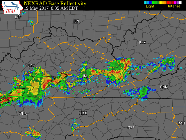 |
| Radar imagery from the morning through evening hours on May 19, 2017. |
 |
Media use of NWS Web News Stories is encouraged! Please acknowledge the NWS as the source of any news information accessed from this site. |
|
Warnings/Hazards
Decision Support - Outlooks
Current Weather Hazards
Hazards Criteria
Weather Story Graphic
Recent Storm Reports
Submit a Report
Forecasts
Decision Support - Forecast
Aviation Forecasts
Fire Weather Forecasts
Hourly Weather Forecast
Activity Planner
River Forecasts
Forecast Discussion
Current Conditions
Regional Radar
Decision Support - Current
Rivers and Lakes
Hourly Airport Weather
Local Radar
Satellite
Kentucky Mesonet
Past Weather
Local Climate Info
Temp/Precip Summary
How Much Rain Fell?
How Much Snow Fell?
Past Weather Events
Drought Information
Local Coop Observers
US Dept of Commerce
National Oceanic and Atmospheric Administration
National Weather Service
Jackson, KY
1329 Airport Road
Jackson, KY 41339
606-666-8000
Comments? Questions? Please Contact Us.