
Severe thunderstorms are forecast through this weekend along a slow moving cold front and secondary storm system that will impact areas from the southern Plains to the Great Lakes. Large hail and isolated damaging wind gusts are the main threats with these storms along with a risk for heavy to excessive rainfall which could bring flooding. Read More >
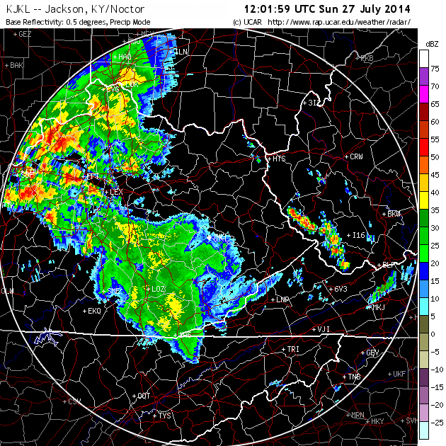
A strong cold front ushering in a fall-like airmass passed through eastern Kentucky late on Sunday July 27th. In advance of this front, several rounds of thunderstorms, including supercell thunderstorms, impacted eastern Kentucky. Impacts from the storms included very large hail, up to the size of baseballs and softballs, scattered wind damage and at least one tornado touchdown in southern Leslie County.
Here are a few of the pictures sent to us after the event. Click on an image to enlarge.
 |
 |
 |
 |
| Large hail at KY/TN line near Jellico (courtesy Rich Michael Williams) | Large hail at Orlando, KY (courtesy Melony Winn) | Large hail at Strunk, KY (courtesy Randy Gilreath) | Wall cloud passing over Lake Cumberland (courtesy of Lake Cumberland State Dock webcam) |
A strong EF-1 tornado also touched down in Leslie County. While the tornado touched down in a remote area, tree damage was extensive and severe. Here are the details:
Leslie County tornado...
Rating: EF-1
Estimated peak wind: 85-95 mph
Path length /statute/: 2.0 miles
Path width /maximum/: 900 yards
Fatalities: 0
Injuries: 0
Start date: July 27, 2014
Start time: 4:24 PM EDT
Start location: 3 E Helton / Leslie County / KY
Start lat/lon: 36.9573 / -83.3506
End date: July 27, 2014
End time: 4:26 PM EDT
End location: 5 ESE Helton / Leslie County / KY
End lat/lon: 36.9541 / -83.3143
Survey summary: A tornado touched down briefly in southern Leslie County visible from Highway 2009 around 425 PM on Sunday afternoon. A consistent path up to a half mile wide of uprooted and snapped hardwood and softwood trees was observed descending down the Upper Double branch creek, crossing Highway 2009 and then ascending back up the adjacent hillside in a west-northwest to east-southeast direction. Uprooted trees damaged a cemetery but no habitable structures were damaged.
The tornado touched down in a remote area and the only access was via Highway 2009, thus tornado specifics are limited to what could be observed from the road and information obtained from a local land owner.
EF scale: the enhanced fujita scale classifies tornadoes into the following categories.
EF0...weak......65 to 85 mph
EF1...weak......86 to 110 mph
EF2...strong....111 to 135 mph
EF3...strong....136 to 165 mph
EF4...violent...166 to 200 mph
EF5...violent...>200 mph
Note:
The information in this statement is preliminary and subject to change pending final review of the event and publication in NWS Storm Data.
Additional storm reports for this event can be found at https://nwschat.weather.gov/lsr/#JKL/201407270400/201407280359/0101.

