Overview
|
Slow moving storms developed during the late afternoon and early evening of June 6th. The slow movement produced locally heavy rainfall which produced some flash flooding in a few communities of eastern Kentucky, including Rockcastle and Powell Counties. In Rockcastle County, at least 6 businesses, a church, and city hall were inundated with water in Brodhead. Several local, county, and state highways were closed during the peak of the flooding. Two storage buildings were washed off of their foundations, while about 10 mobile homes were damaged as nearly 4 inches of rain fell in a 2 1/2 hour window during the late afternoon into the early evening of the 6th. In Powell County, flash flooding occurred in and around the Natural Bridge State Park area, northward to the Slade exit off the Mountain Parkway. Multiple water rescues were performed as many homes became surrounded by water. A water rescue took place at the 5900 block of High Rock Road, where 2 people were trapped in their car surrounded by flood waters. Multiple locations along Highway 11 had flowing water across the road. Several cars were at least partially submerged. Little Abner's Motel near the park was also flooded out. Light to moderate rain continued through June 7, producing additional minor issues. These included mudslides and road closures. |
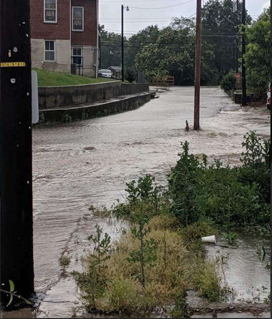 Flash Flooding in Brodhead - Photo courtesy of Brandon Day. |
Photos
 |
 |
 |
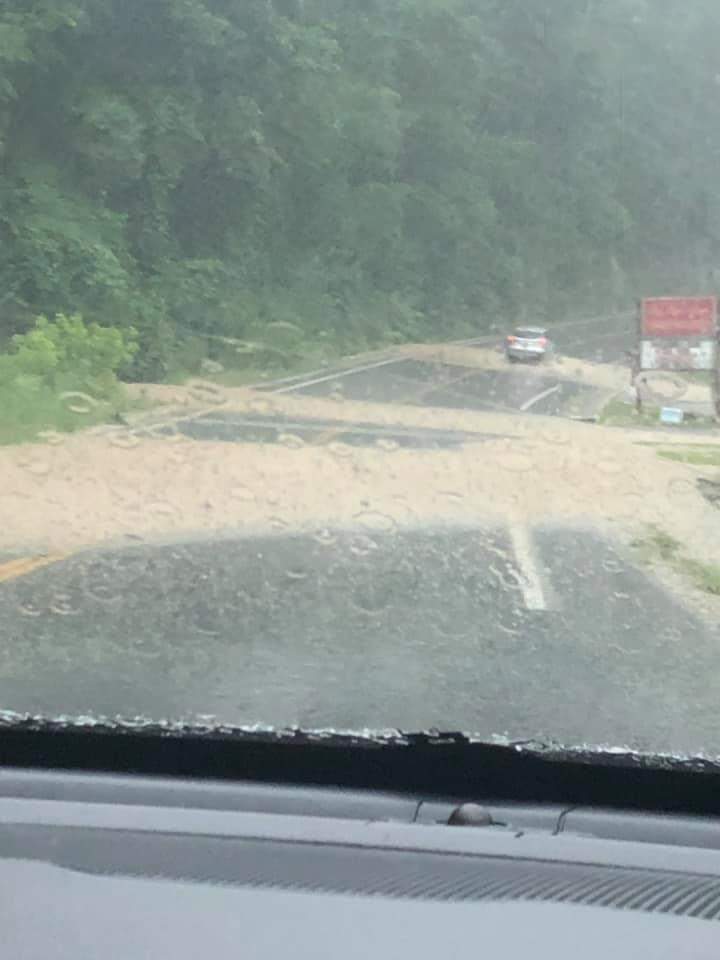 |
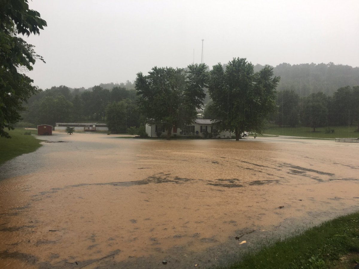
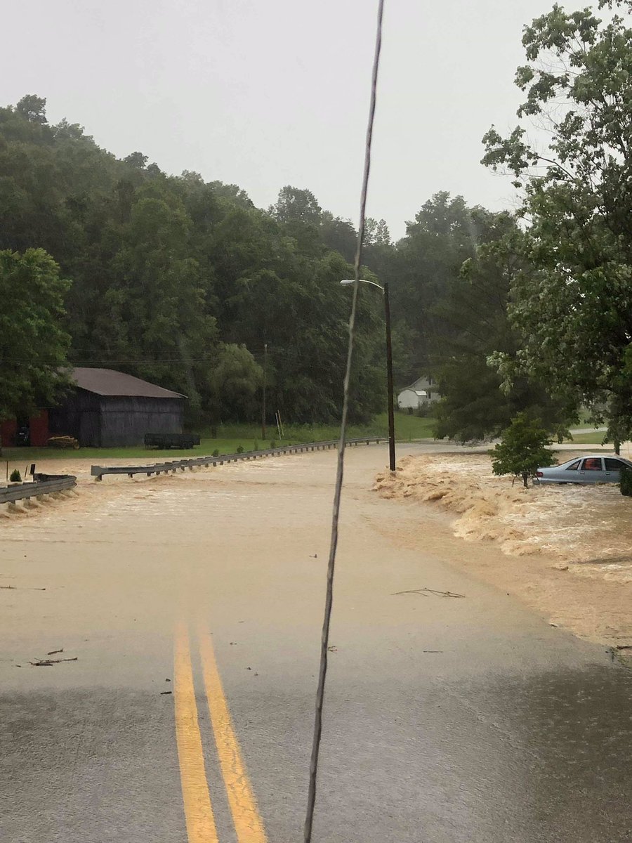
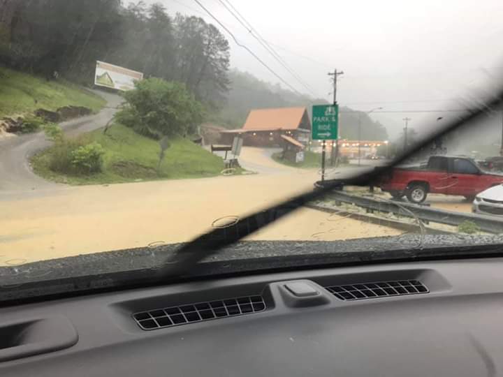
| Freedom School Road near Mount Vernon - Photo courtesy of Jordan Smith. | Highway 1505 in Brodhead - Photo courtesy of Jordan Smith. | Slade Exit on Mountain Parkway - Photo courtesy of Johnny Ray Feltner. | Highway 11 near Thrillville - Photo courtesy of Johnny Ray Feltner. |
 |
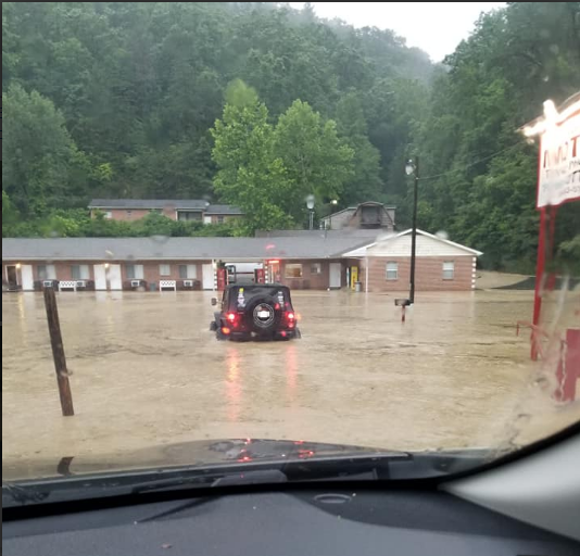 |
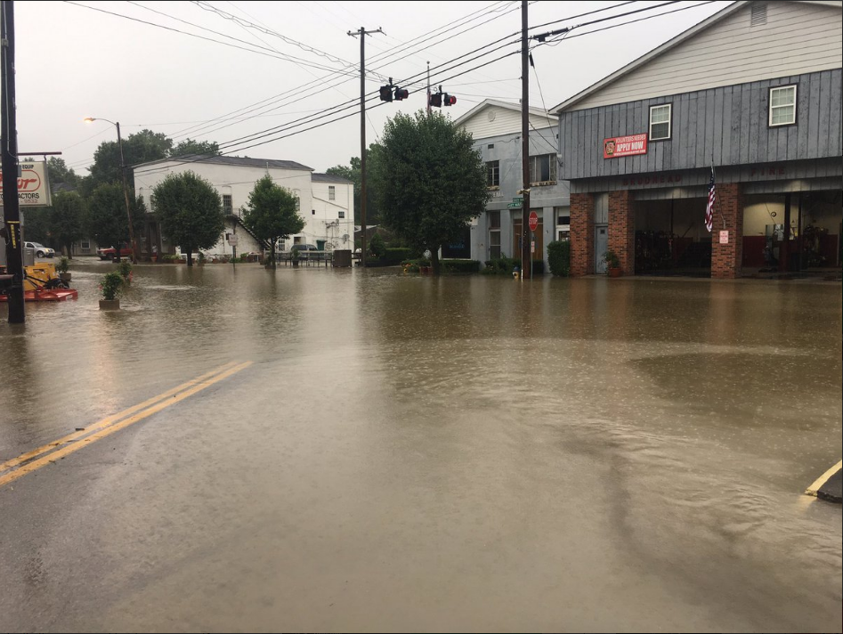
| Downtown Brodhead - Photo courtesy of Jordan Smith. | Little Abner's Motel near Natural Bridge Resort State Park - Photo courtesy of Sonya Smith Adams. |
Radar
| 2 - 10 pm, June 6th, 2019 Radar Loop. |
Storm Reports
| Local Storm Reports received from June 6, 2019 | ||
 |
||
Environment
 |
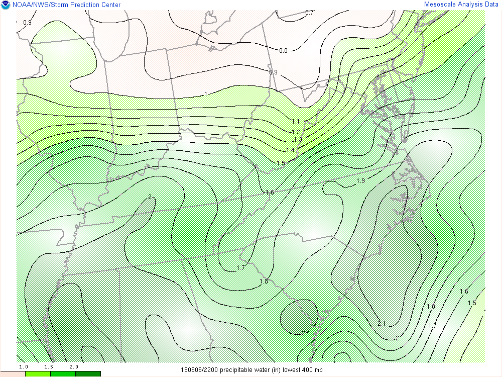 |
 |
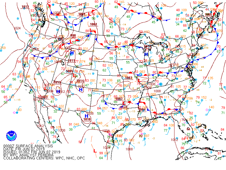
| Surface map analysis at 8 pm on June 6, 2019. | Precipitable water values increasing to high levels across eastern KY at 6 pm on June 6, 2019. | Surfaced-based CAPE depicting instability across eastern KY from 2-8 pm on June 6, 2019. |
 |
Media use of NWS Web News Stories is encouraged! Please acknowledge the NWS as the source of any news information accessed from this site. |
|

