La Crosse, WI
Weather Forecast Office
| Click anywhere on the map for the forecast. Turn "on and off" the various weather parameters using the display options. Hover over a highlighted area to see the hazard. | Map Display Options |
|
Hazardous Weather Outlook Forecast Discussion Latest Conditions |
|
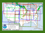
| La Crosse | Other Local Radars | ||||
STANDARD / ENHANCED |
Minneapolis |
Duluth |
Green Bay |
||
Des Moines |
Davenport |
Milwaukee |
|||
National  |
|||||
| Today's reports | Yesterday's reports | |
|
 |
 |
| [Details] | [Details] |
| Storm Prediction Center: Day 1 Severe Outlooks - Details | ||||||
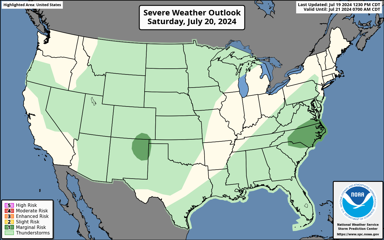
Today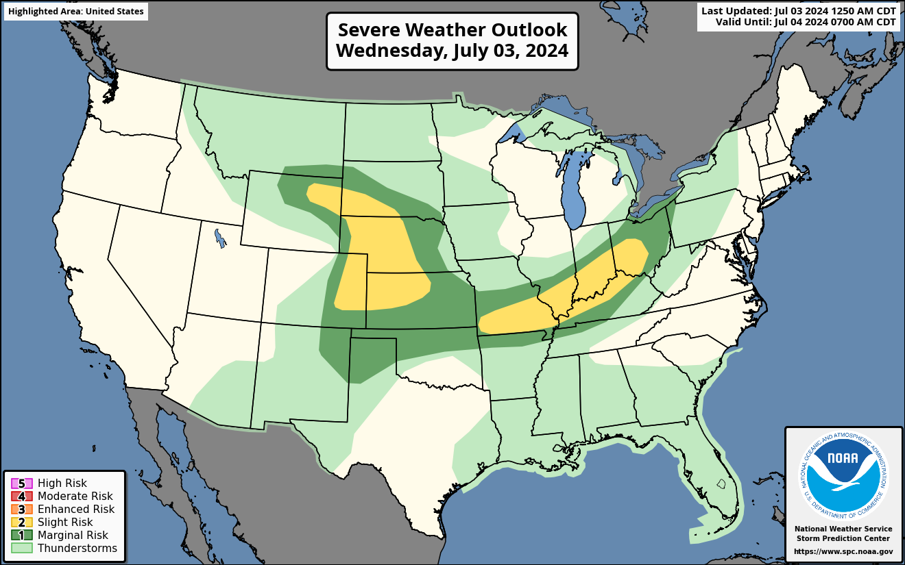 |
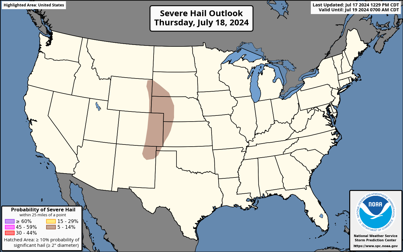
Hail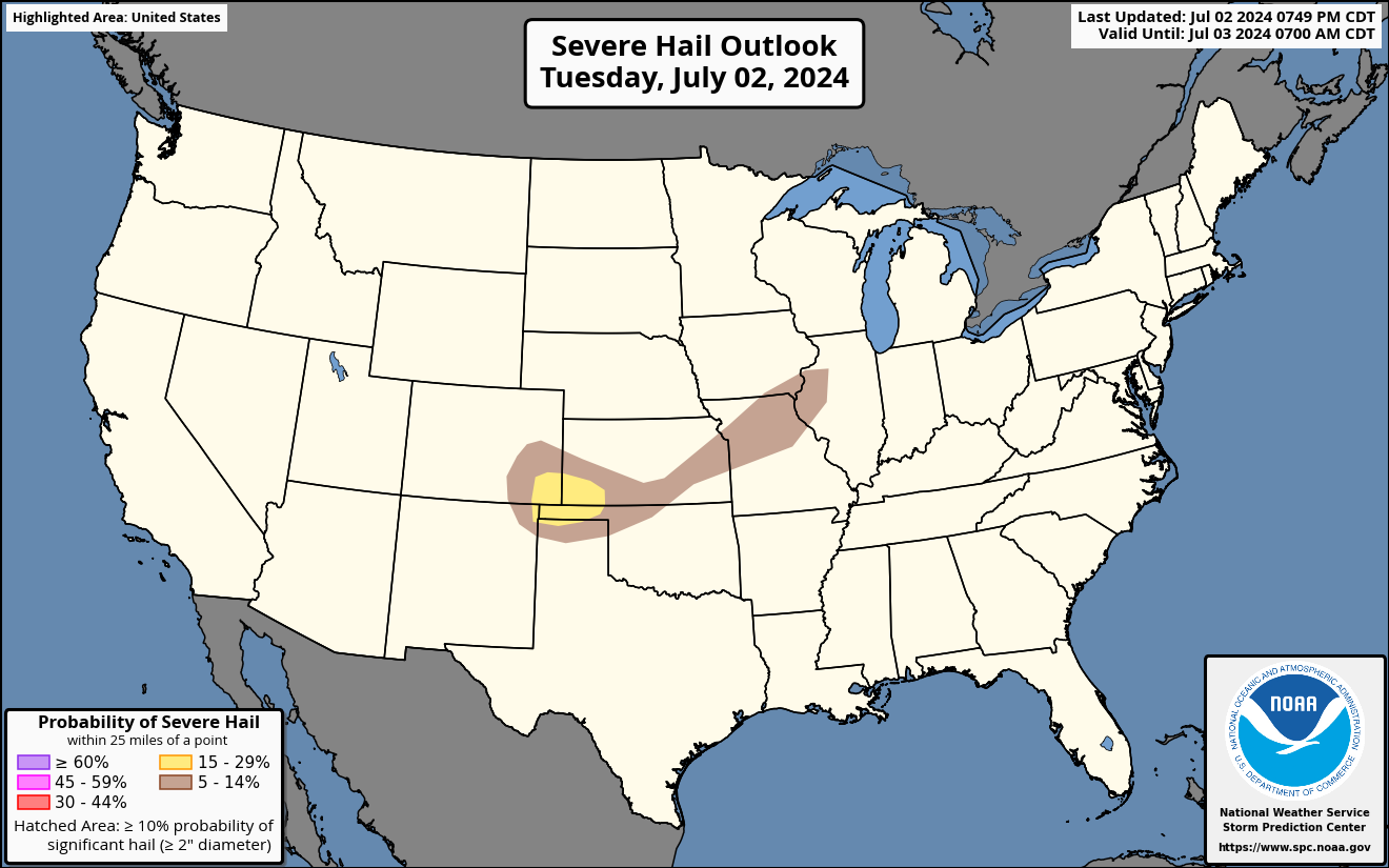 |
Wind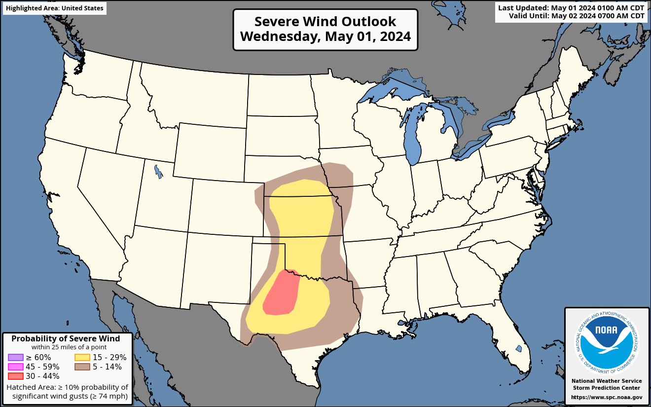 |
Tornado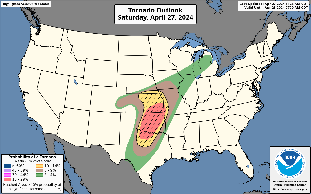 |
|||
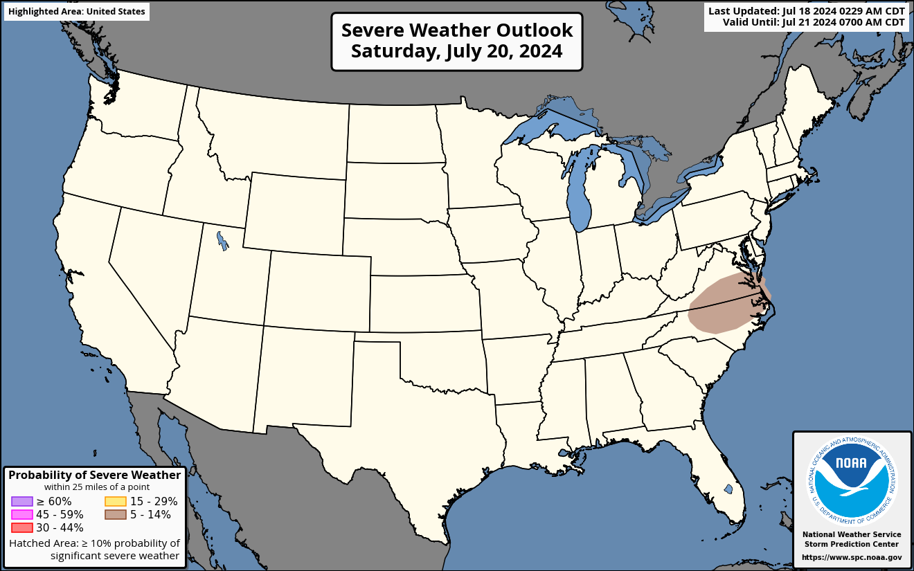
| Storm Prediction Center: Day 2 Severe Outlooks - Details | ||||||
 |
Hail
 |
Wind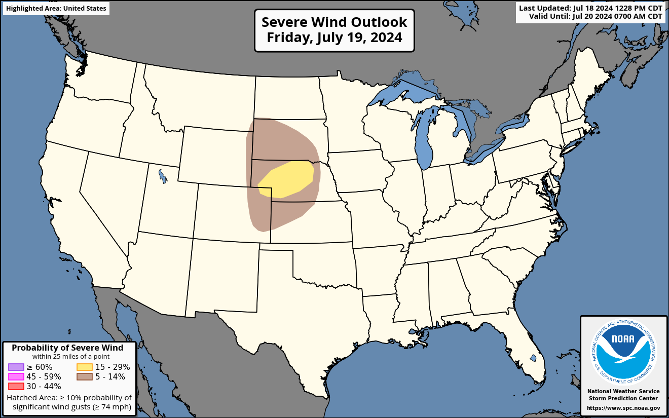 |
Tornado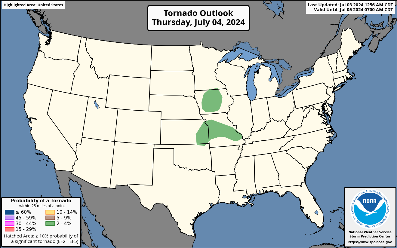 |
|||
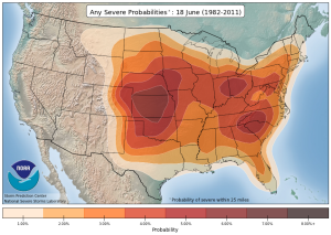
| Storm Prediction Center: Day 3 - 8 Severe Outlooks - Details | ||||||
 [Details] |
Probabilities
 [Details] |
Days 4-8 [Details] |
All Outlooks |
|||
|
||||||||||||||||||||
| Storm Prediction Center: Advanced Tools | ||||||
| Upper Air | Soundings | Short Range Ensemble | SREF Plumes | High Rez Ensemble | Analysis | Climatology |
 |
 |
 |
 |
 |
 |
 |
Our Office
Staff
Community Involvement
Station / Location Info
Follow Us On Social Media
Student Opportunities
Additional Information
Storm Summaries
Cooperative Observers
Educational Resources
Science / Research
Weather Phenomenon
Mayfly Tracking
Latest
Temp/Pcpn Summary
Precipitation Reports
Forecast Discussion
Hazardous Weather Outlook
Hourly Weather
Public Information Statement
Local Storm Report
Lightning Plot Archive
River Stages
Water Temp
Observations
Precipitation Plotter
Soil Temps
US Dept of Commerce
National Oceanic and Atmospheric Administration
National Weather Service
La Crosse, WI
N2788 County Road FA
LaCrosse, WI 54601
608-784-7294
Comments? Questions? Please Contact Us.