La Crosse, WI
Weather Forecast Office
|
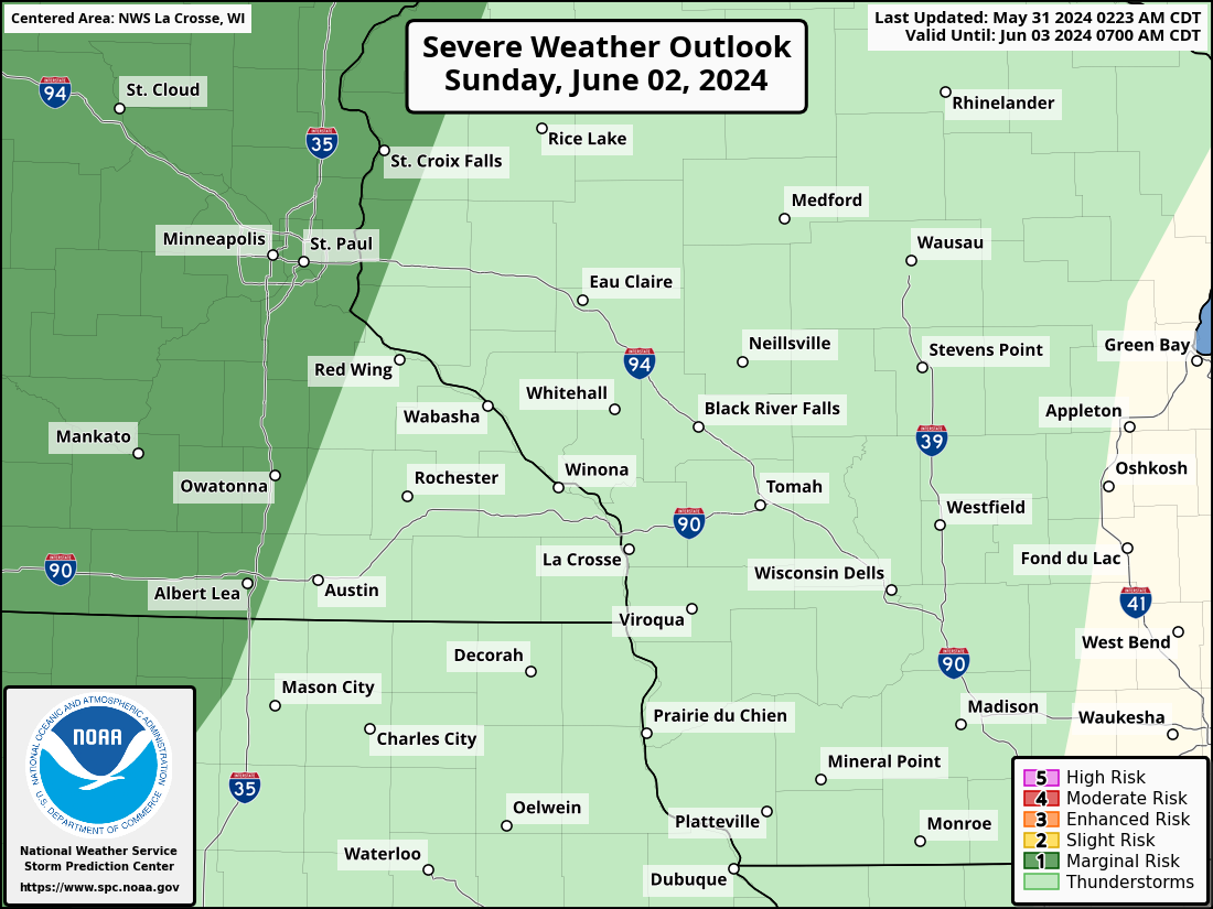
Prepare now for severe storm potential by checking your emergency supplies and having plans for safe places, communication, and evacuation. With the first storm potential of the year, make sure your phone can receive wireless alerts.
Friday Afternoon & Evening: Severe Storm Risk
Additional Information:
|
• Submit Report • Severe Monitor Hazardous Weather Outlook Storm Reports Latest Reports Current Conditions

Radar |
Our Office
Staff
Community Involvement
Station / Location Info
Follow Us On Social Media
Student Opportunities
Additional Information
Storm Summaries
Cooperative Observers
Educational Resources
Science / Research
Weather Phenomenon
Mayfly Tracking
Latest
Temp/Pcpn Summary
Precipitation Reports
Forecast Discussion
Hazardous Weather Outlook
Hourly Weather
Public Information Statement
Local Storm Report
Lightning Plot Archive
River Stages
Water Temp
Observations
Precipitation Plotter
Soil Temps
US Dept of Commerce
National Oceanic and Atmospheric Administration
National Weather Service
La Crosse, WI
N2788 County Road FA
LaCrosse, WI 54601
608-784-7294
Comments? Questions? Please Contact Us.