Overview
|
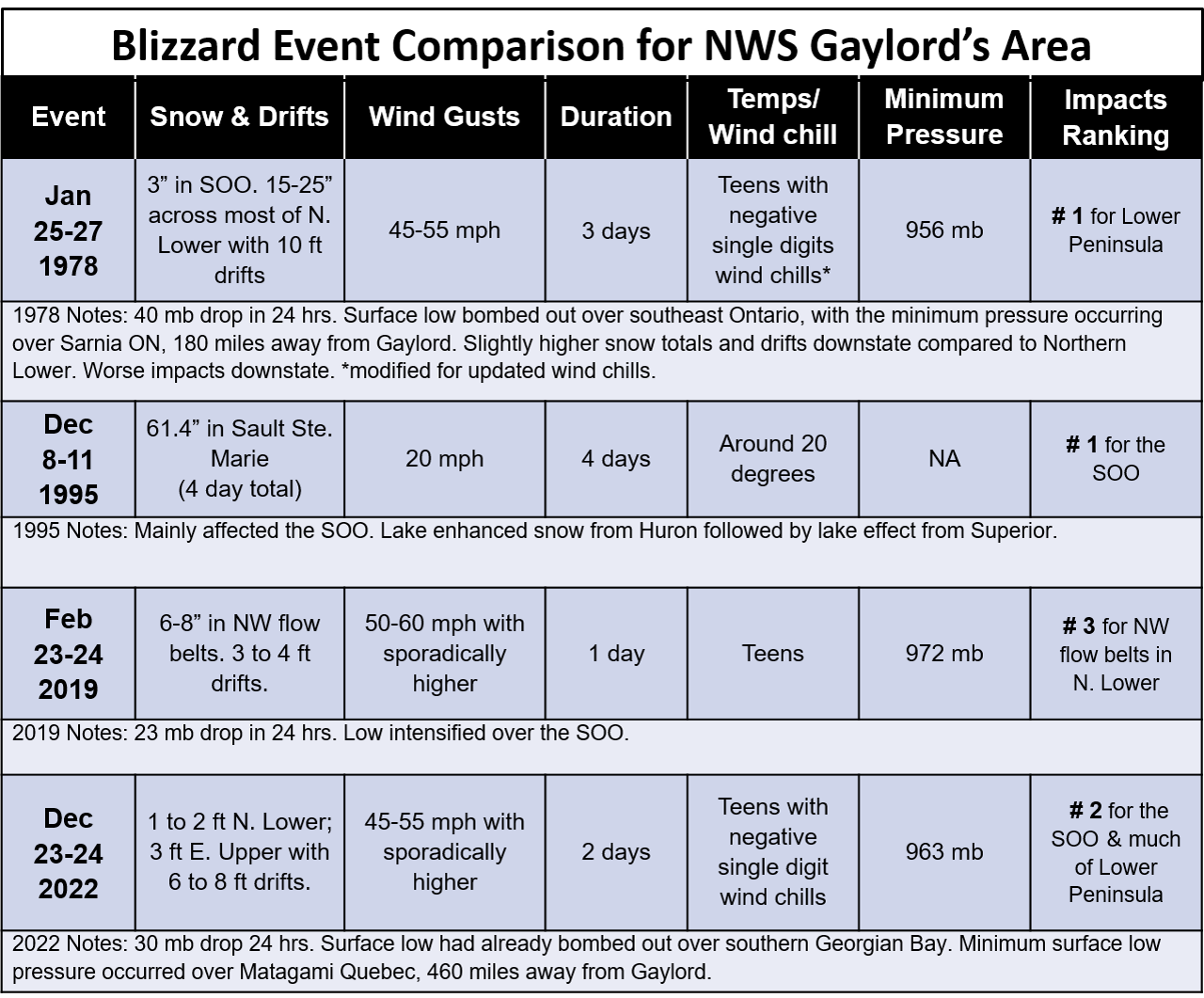
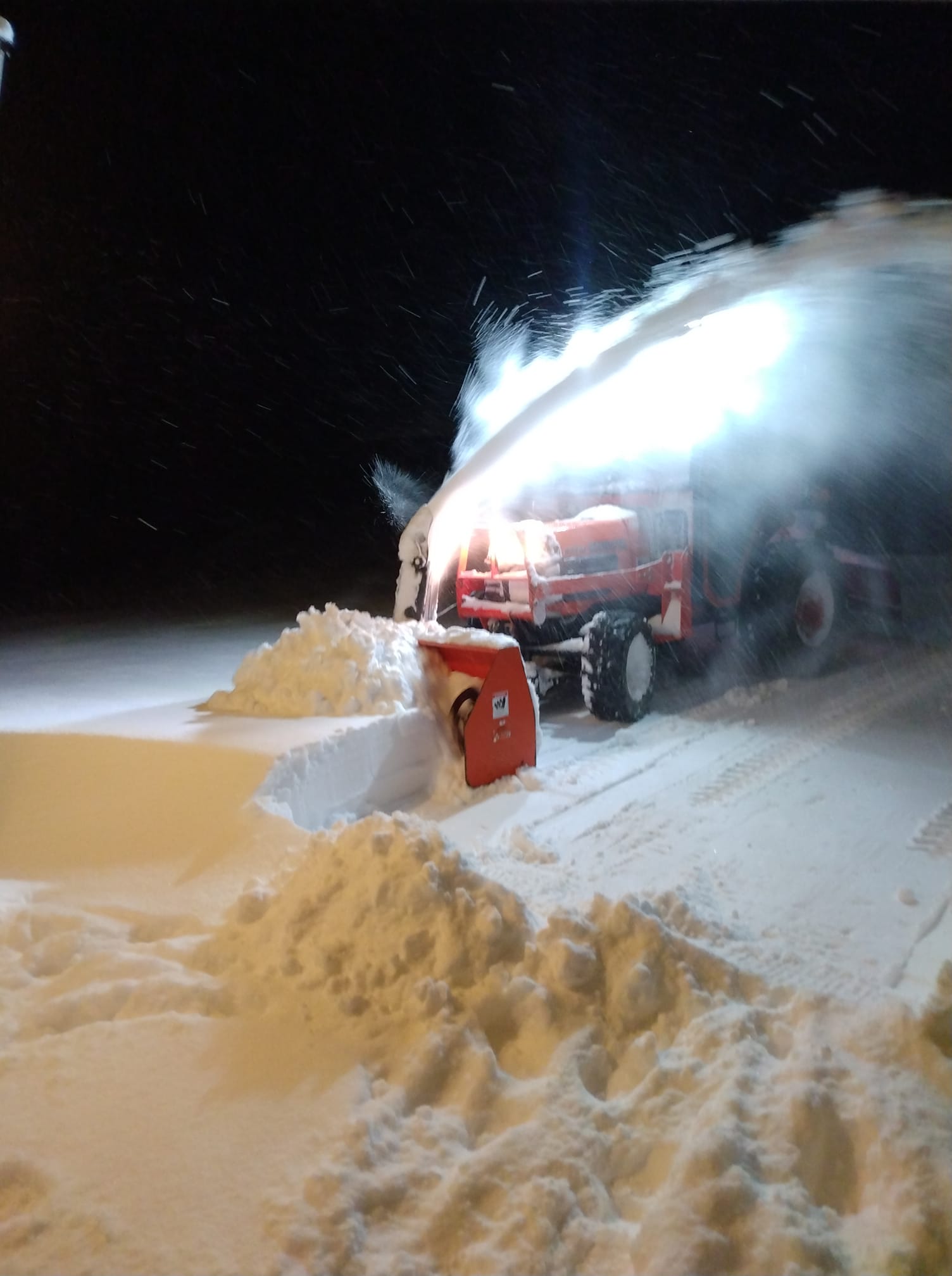
A strong winter storm system with blizzard conditions impacted much of the Great Lakes heading into the Christmas Holiday. Heavy wet snow moved into Northern Michigan Thursday evening, with some drizzle and rain closer to Saginaw Bay and the Lake Huron shoreline. The arctic front blasted through overnight with temperatures falling into the teens and staying there through much of the weekend. As colder air moved into the region lake effect processes kicked into gear. This led to the highest snowfall totals in the typical northwest-flow belts of northern lower and eastern upper Michigan. Storm totals ranged from 2 to 5” closer to Saginaw Bay to a wide swath of 1 to 2 feet in northwest Lower. Eastern Upper received the most with totals around 3 feet in Sault Ste. Marie. Winds gusting into the 45 to 55mph range (with some higher gusts near the Lake Michigan shore) led to significant blowing and drifting snow with white-out conditions across most of the region. Travel was significantly impacted across most of the state through Christmas. First responders, road maintenance crews, and utility crews worked tirelessly through the entire event to keep people safe. |
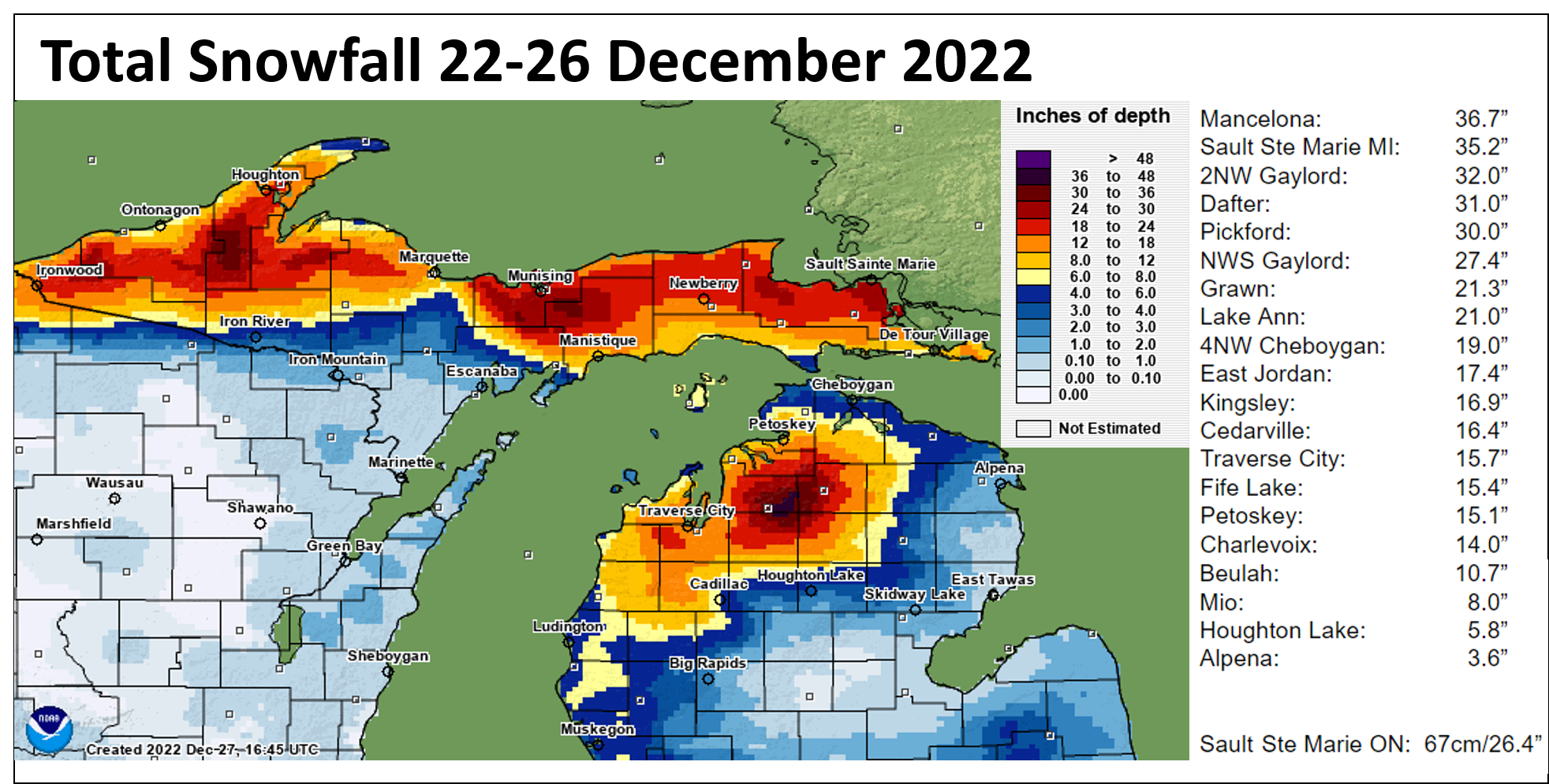 Storm Total Snow |
 |
 |
 |
Meteorological Summary
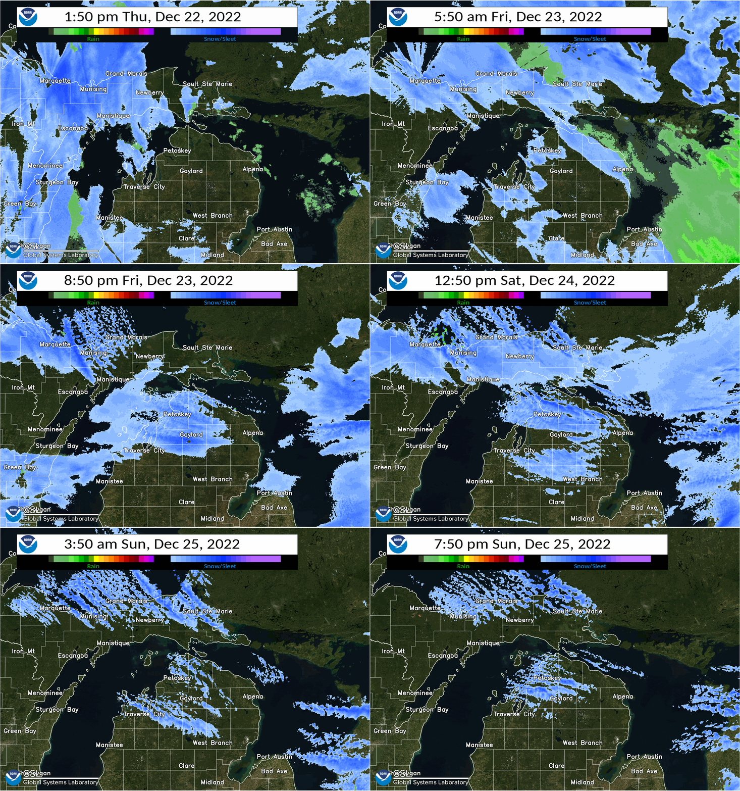
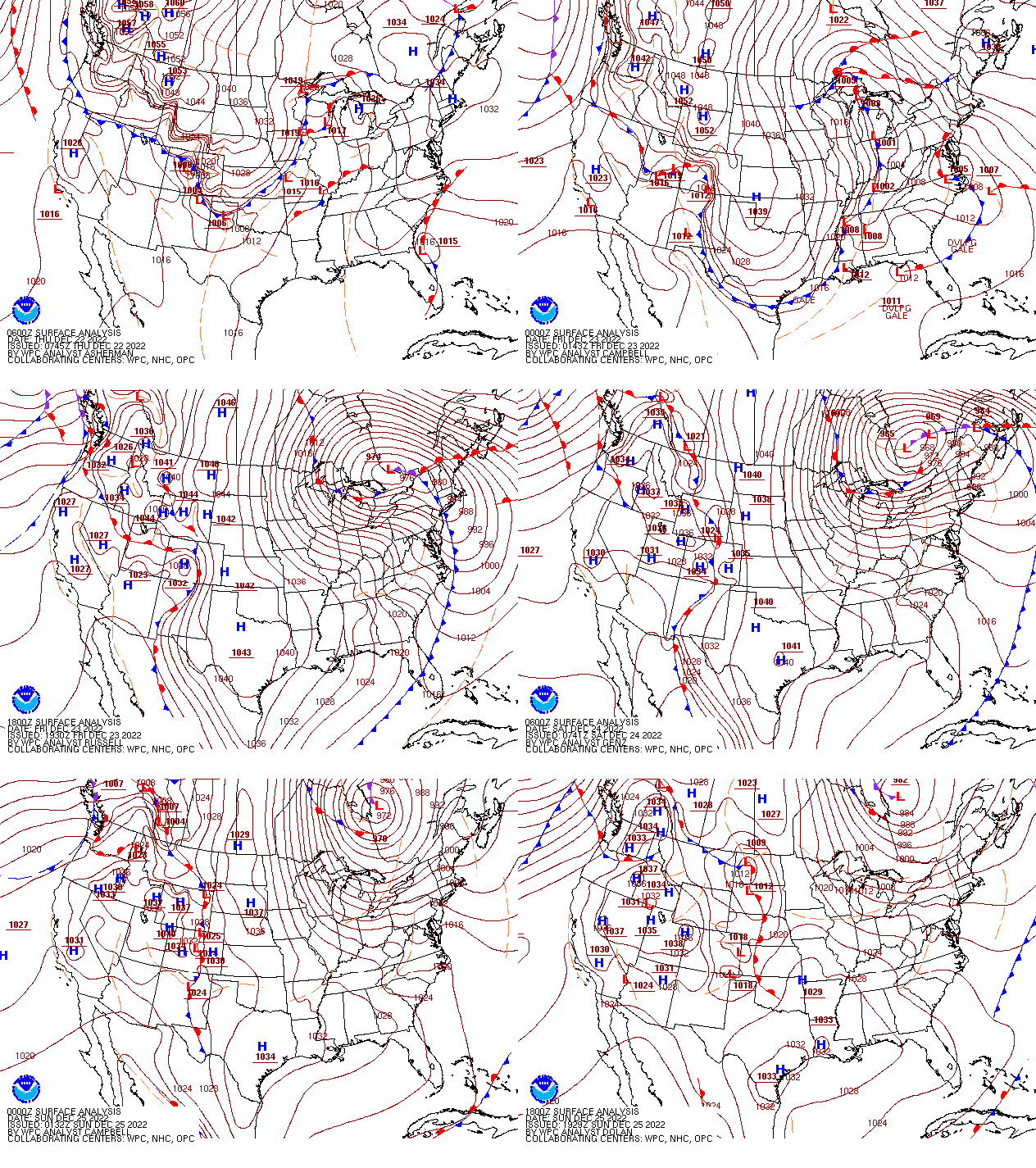
Low pressure rapidly strengthened Thursday into Friday as it moved over the Ohio Valley and into Ontario. Some light snow showers on Thursday morning gave way to a steadier and more widespread wet and dense snowfall across northern lower and eastern upper Michigan by Thursday evening. Most areas saw a general 4-8” of snow by Friday morning, with some spots in the vicinity of Grand Traverse Bay observing 10”+. Lesser snow accumulations, generally 2-4” were observed in the vicinity of Saginaw Bay owing to some rain and drizzle mixing in at the onset of precipitation Thursday evening/night. Winds on Thursday night were generally S to SE at the start, eventually backing more WNW to NW by daybreak Friday.
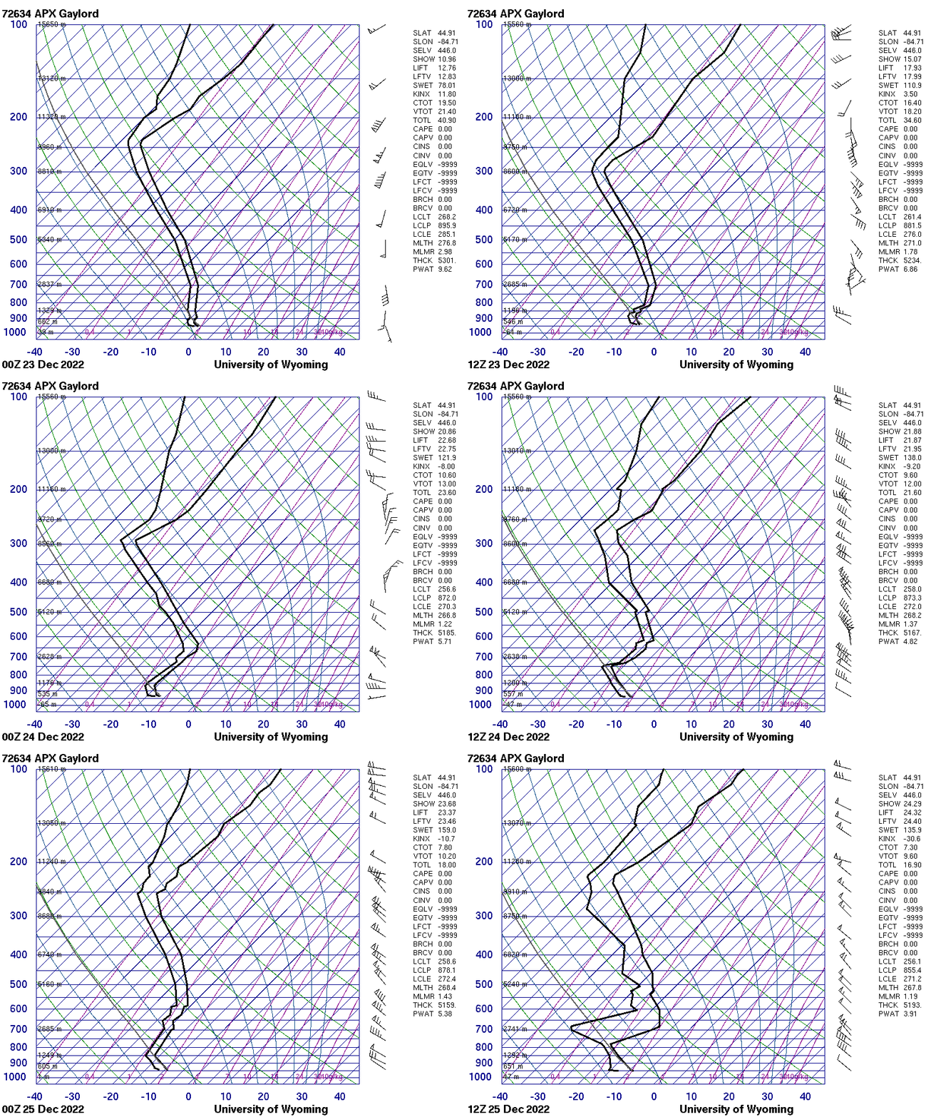
Colder air wrapped in behind the system on Friday, which made snow a much more powdery and fluffy snow. Additionally, as the low pressure over Ontario deepened, sustained winds and wind gusts began to increase dramatically, with most places seeing sustained winds of 20-25 mph, and gusts of 40-50+ mph. While this was happening, synoptic moisture slowly began to slowly exit, and lake enhancement began to really take shape through the afternoon. Typical NW-flow snowbelts across NW lower and parts of the eastern Upper observed efficient lake effect snow bands by late afternoon, with areas outside of these NW-flow bands seeing little new snowfall, but continued blowing and drifting snow. Owing to the open nature of the lakes and cyclonic flow across the region (N off Lake Superior, WNW off Lake Michigan), a few dominant lake effect bands were able to set up across northern lower Michigan that featured multiple lake connections: Lake Nipigon in Ontario, Lake Superior, and Lake Michigan.
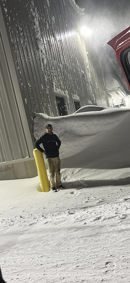
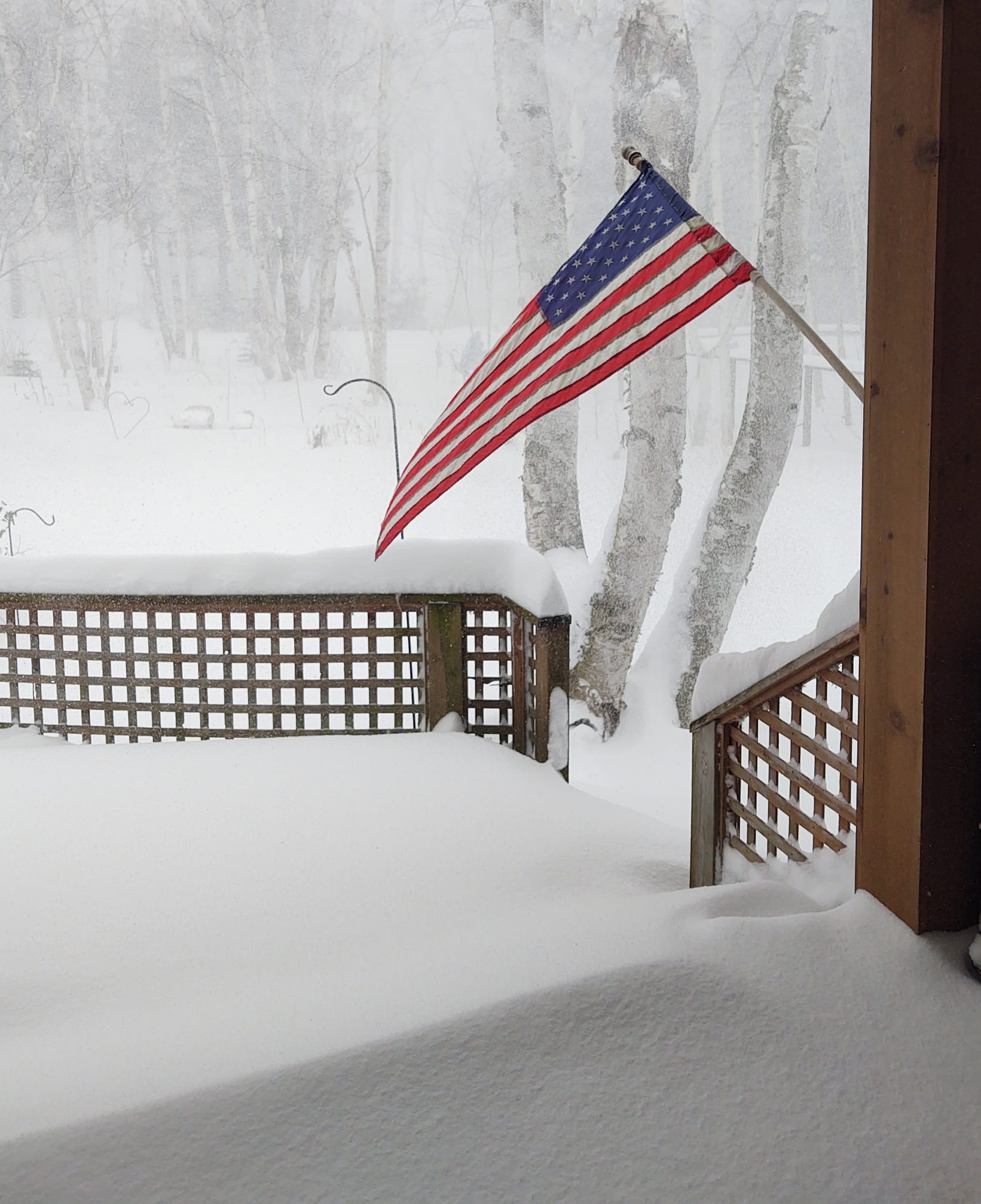
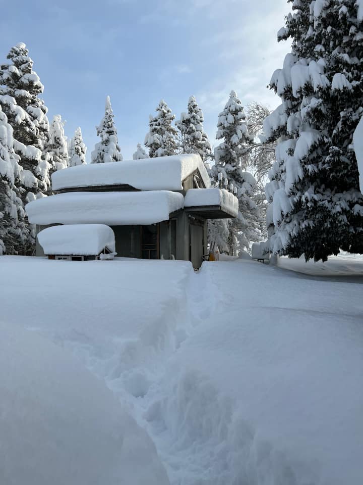
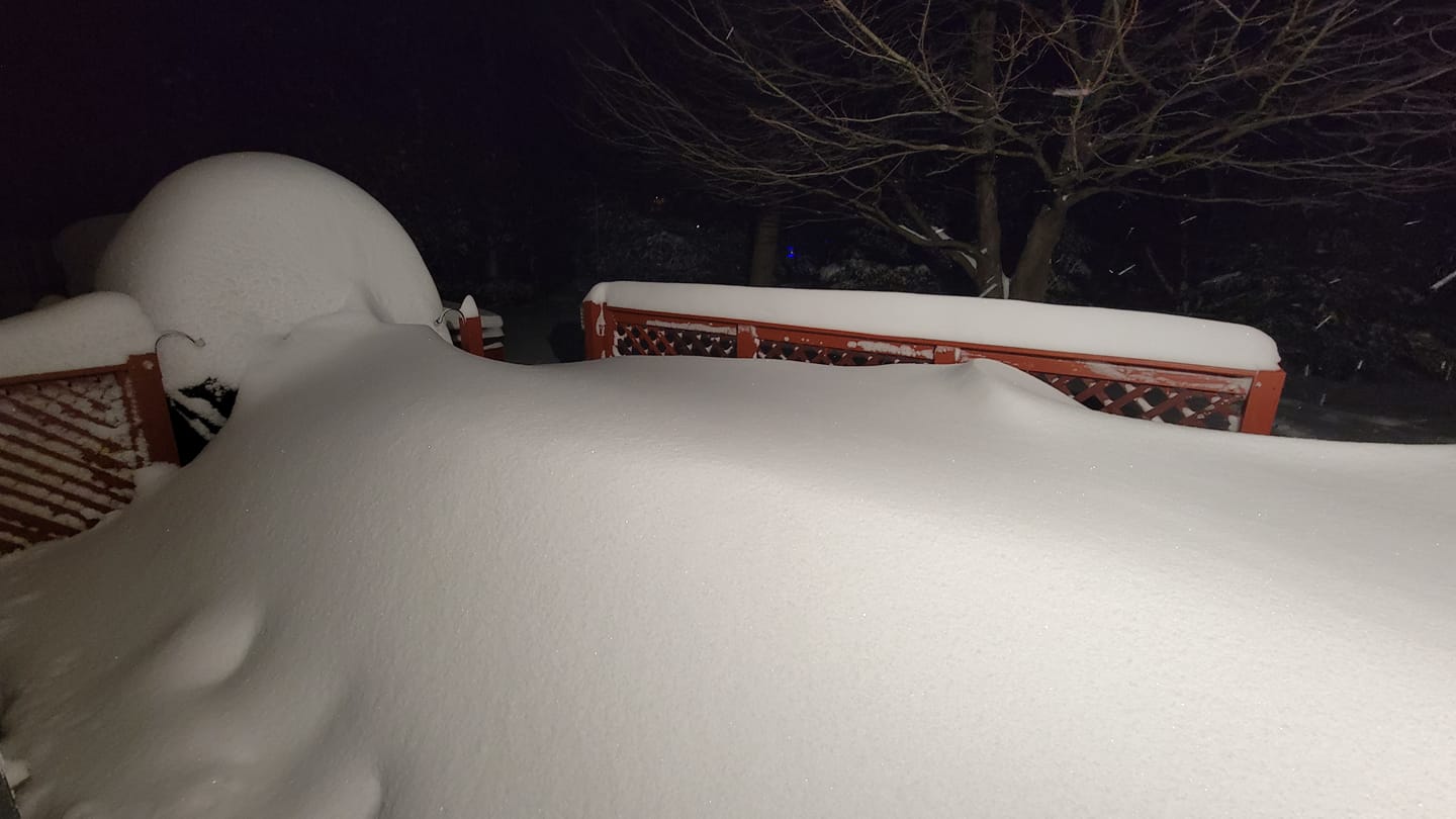
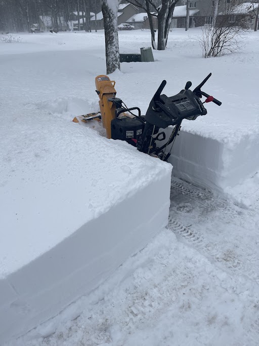
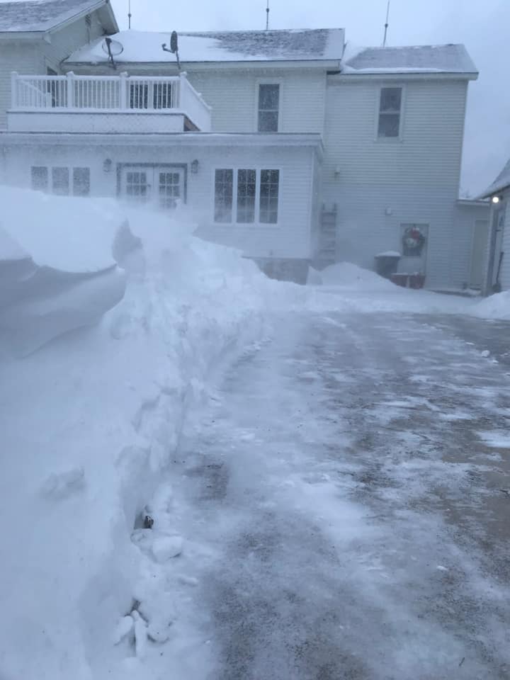
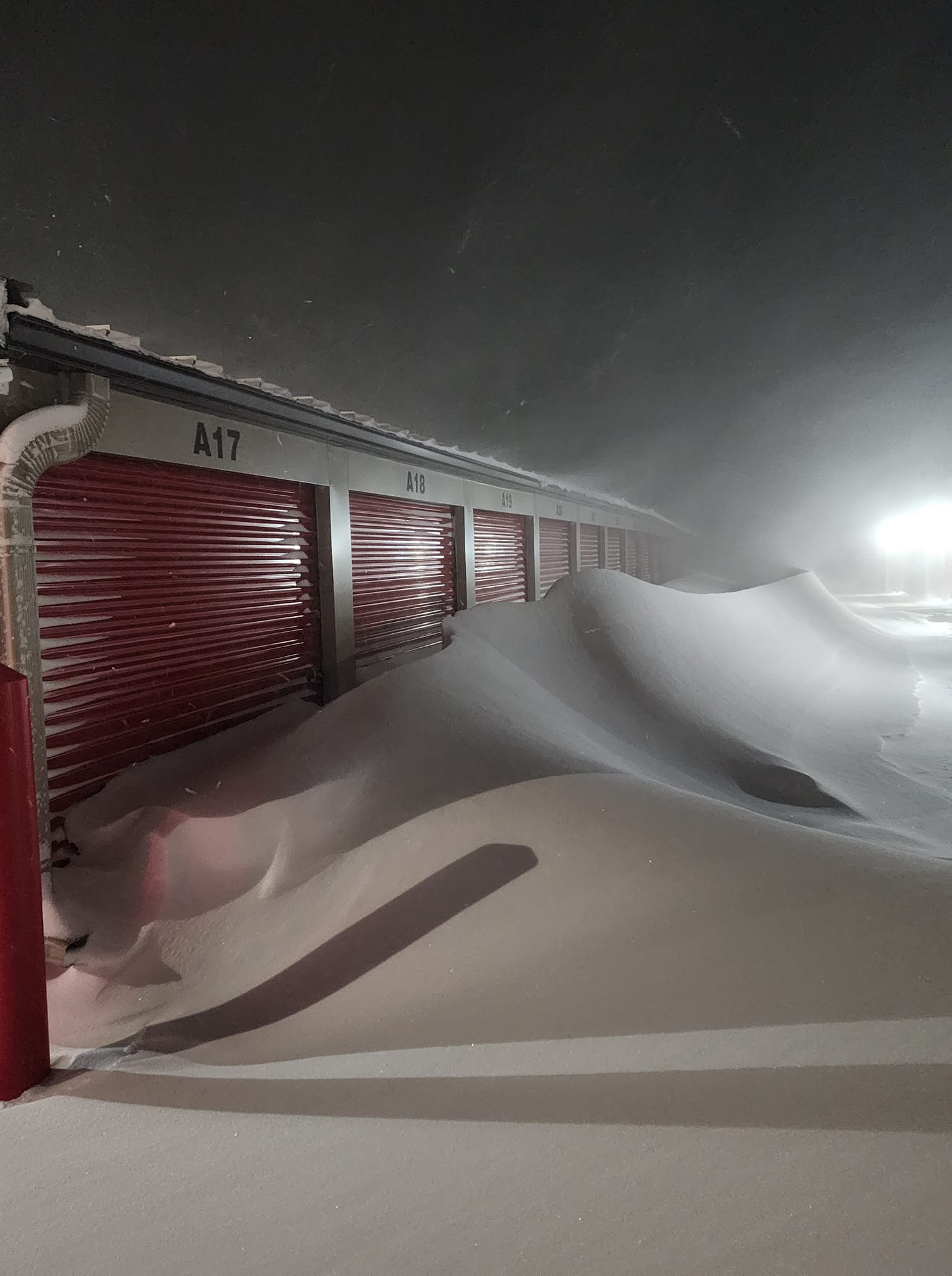
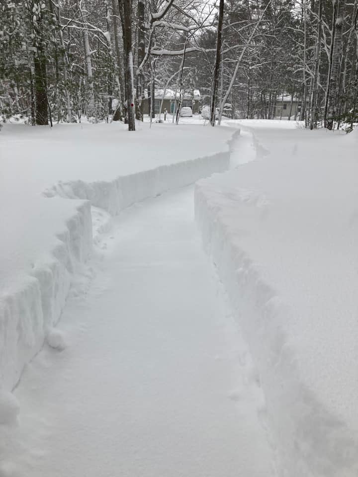
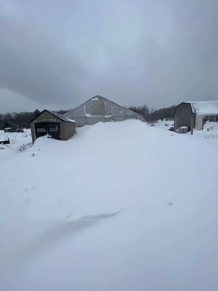
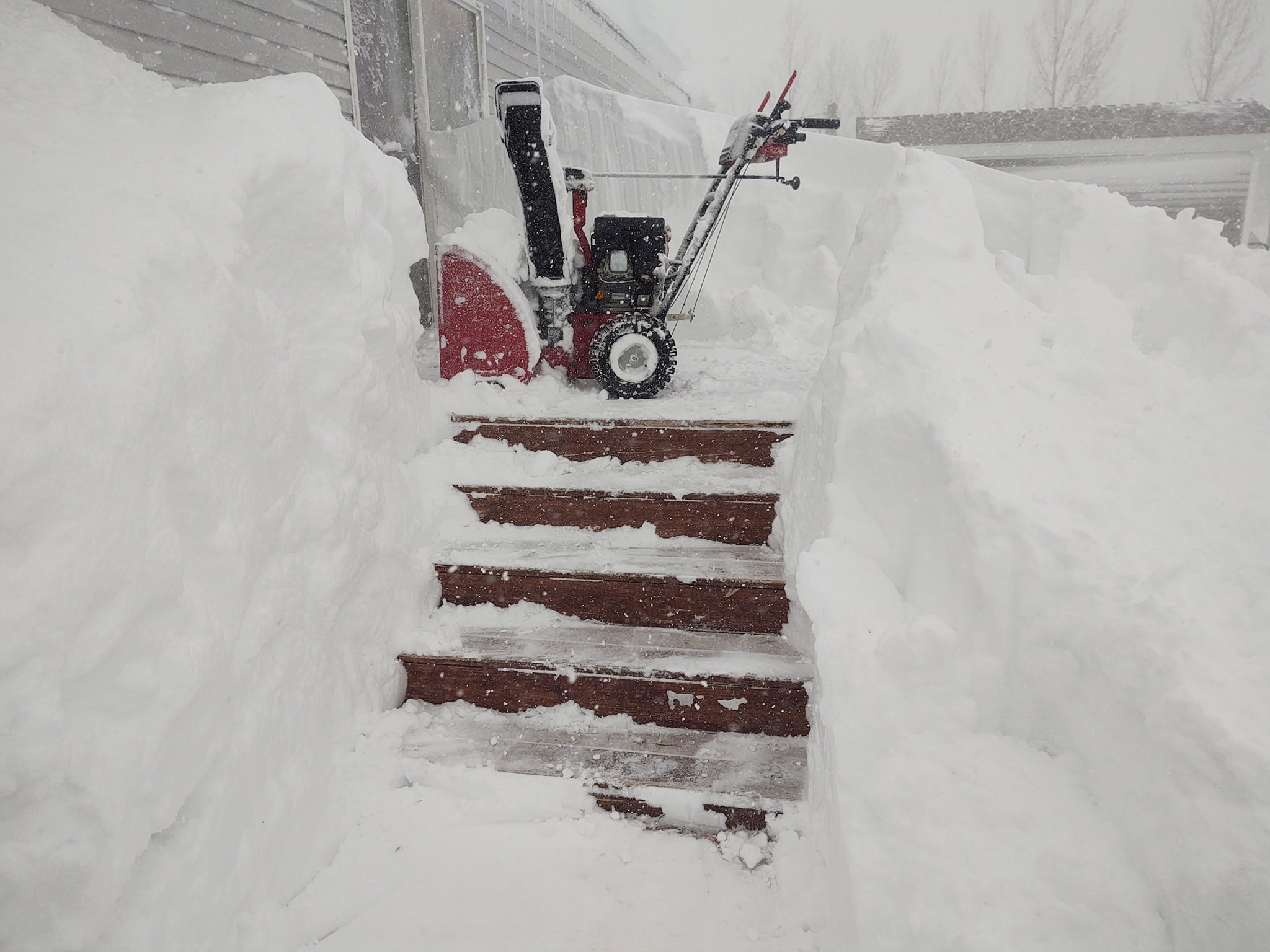
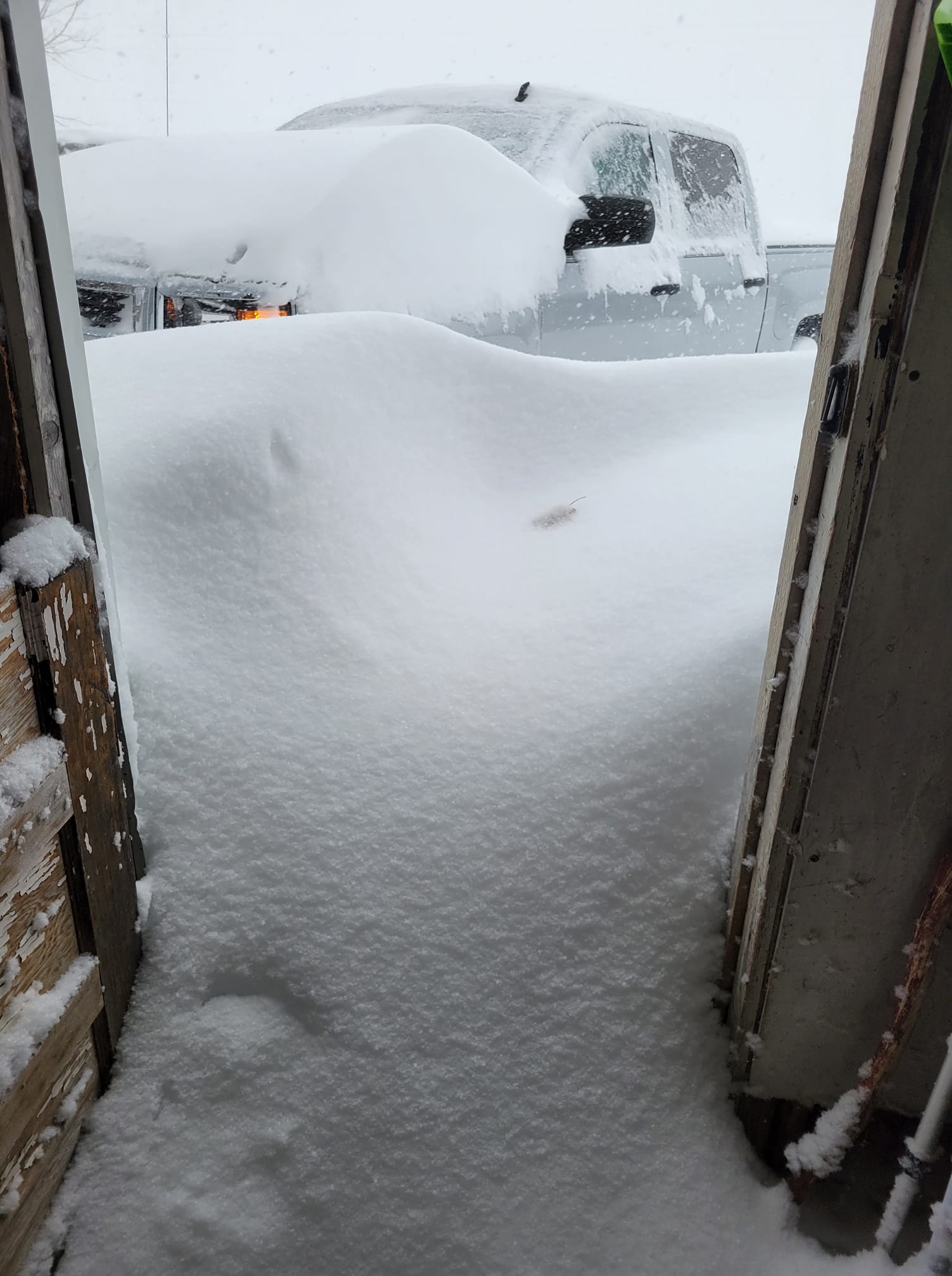
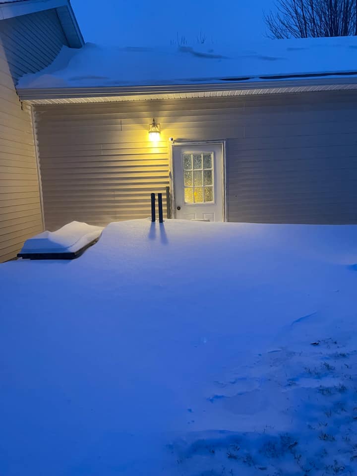
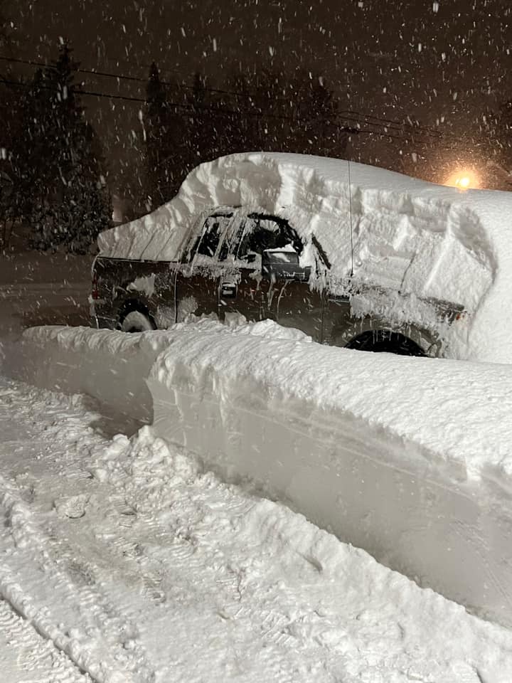
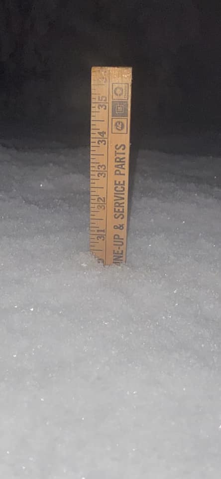
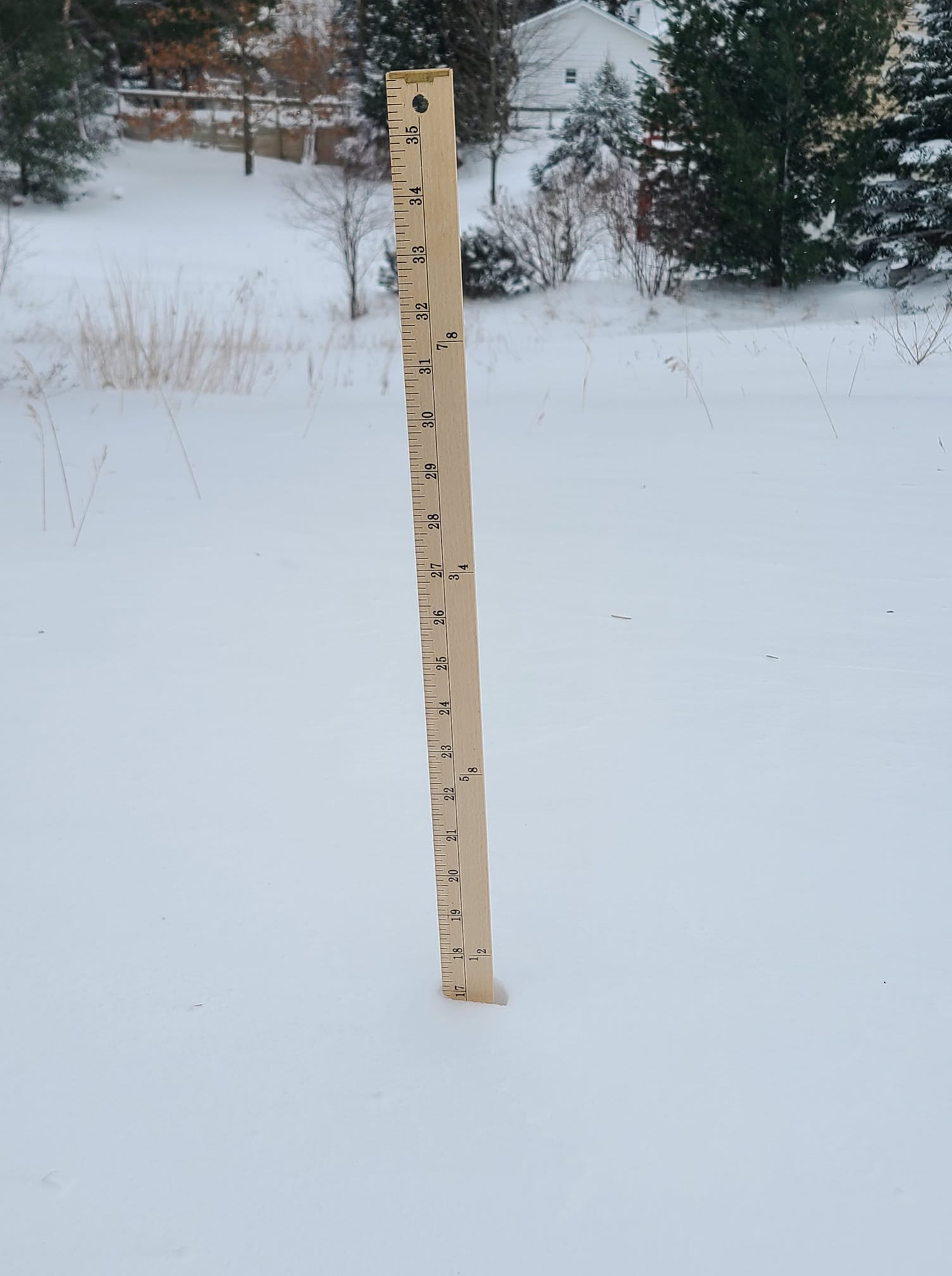
Owing to optimal dynamics, these dominant bands were able to produce extremely efficient snowfall rates, despite fears that winds would disrupt dendritic growth processes. In some instances Friday evening and Friday night, snowfall rates of 2”+/hr were observed across NW lower MI, with the hardest hit areas being southern Emmet and Cheboygan Counties, and into “the Big Five” of Charlevoix, Antrim, Otsego, Kalkaska, and Crawford Counties, where widespread storm totals of 20”+ were observed by midnight Friday night. Measuring the snowfall was exceptionally difficult thanks to the strong winds; some drifts measuring as deep as 4-6ft deep around buildings and on area roads. Accumulating lake effect continued right through Christmas Eve (Saturday) morning, with some spots in eastern Antrim and western Otsego Counties receiving 25” or more of snowfall. Mancelona received the most, observing 31.7”. Gaylord also set a daily snowfall record, with 16.8” observed on Friday (12/23). This was also the second highest snowfall on any given calendar day since records began in 1940.
The surface low reached its minimum pressure reading of 963mb just southeast of James Bay early Saturday morning. Through the day sustained winds continued in the 15-25 mph range, with several widespread gusts of 50+ mph, including a 63 mph gust at Leland Harbor in Leelanau County. Already significant drifting was made worse on Saturday, but in general, new snowfall across NW lower was less owing to the loss of multiple lake connections. As for the eastern U.P., the shift of the wind to a more NW flow allowed for robust snow bands to pass through Chippewa County, producing extremely efficient snowfall, and significant blowing and drifting, with unconfirmed reports of drifts several feet deep on I-75 south of Sault Ste. Marie. All in all, snowfall for Christmas Eve in Sault Ste. Marie totaled to 17.6” for the calendar day, which was the fourth biggest snowfall in a day for them. Lake effect processes continued through Sunday (Christmas Day) although diminishing in intensity and spatial coverage through the day.
Impacts
Local Impacts:
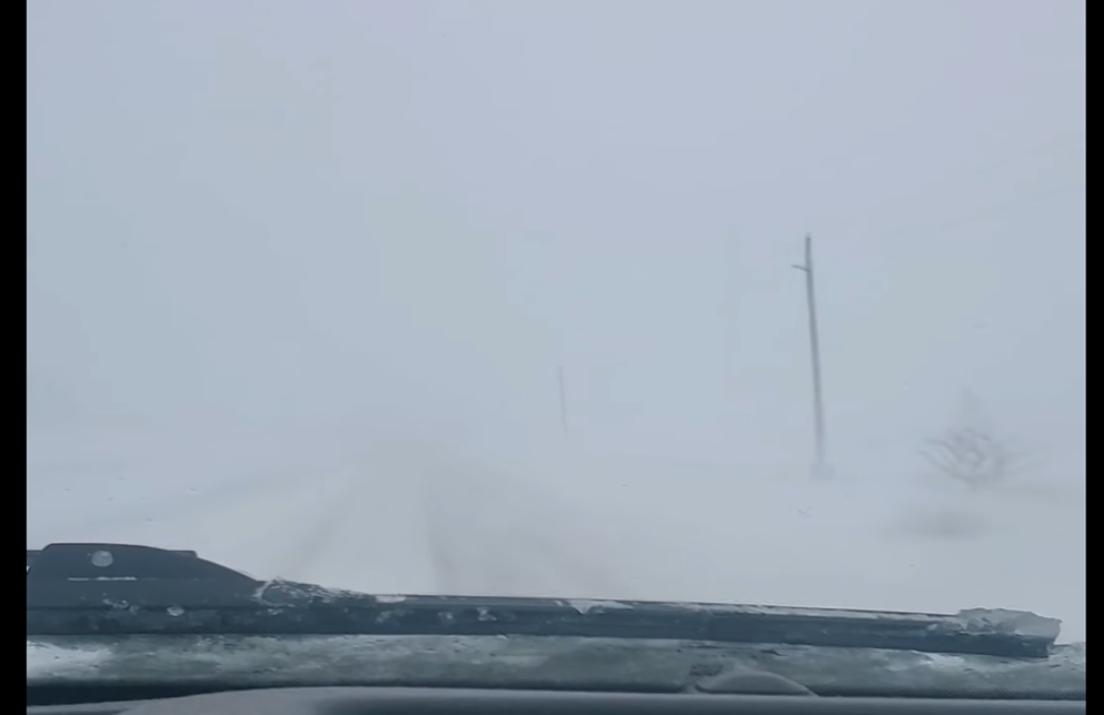
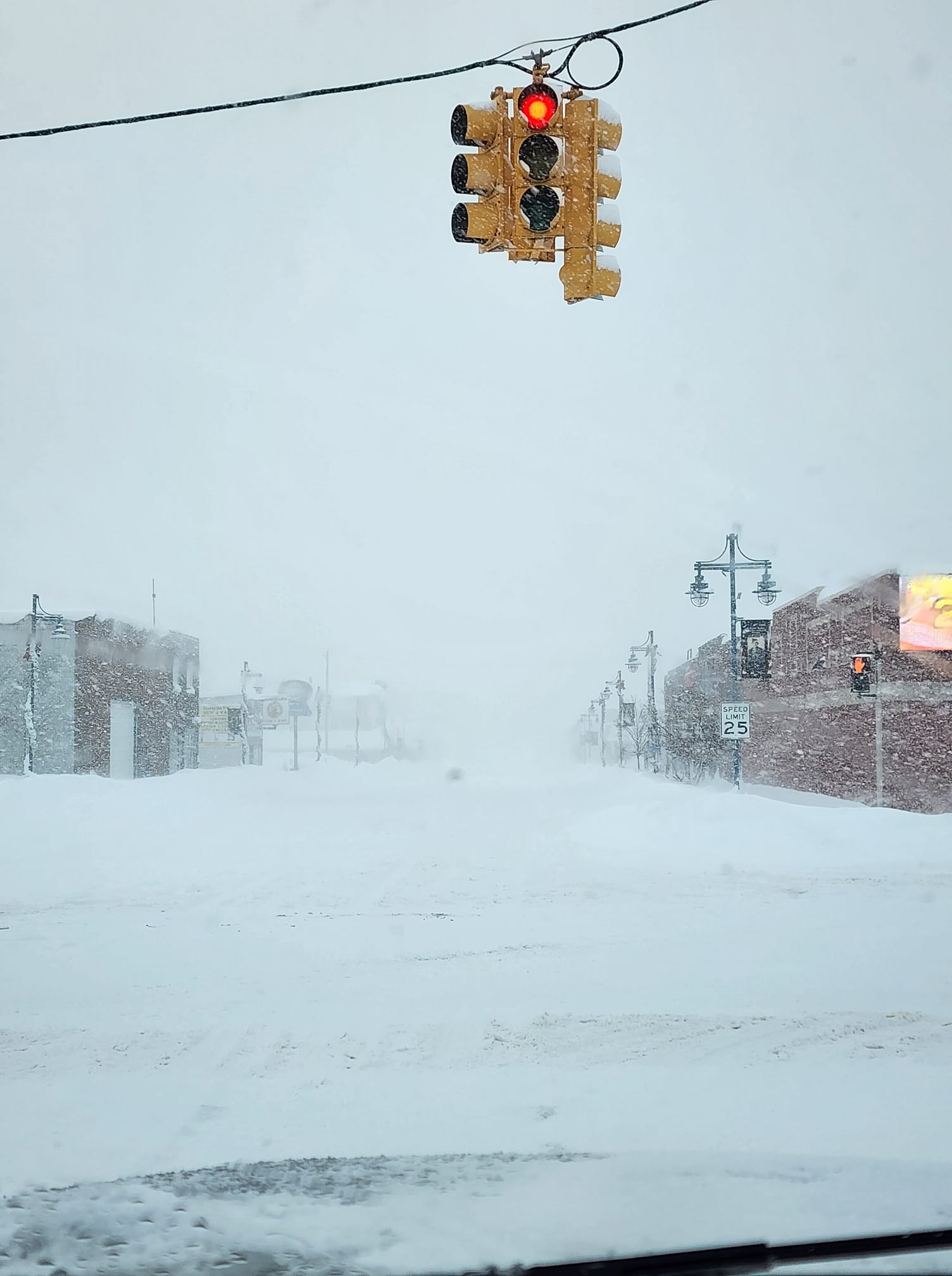
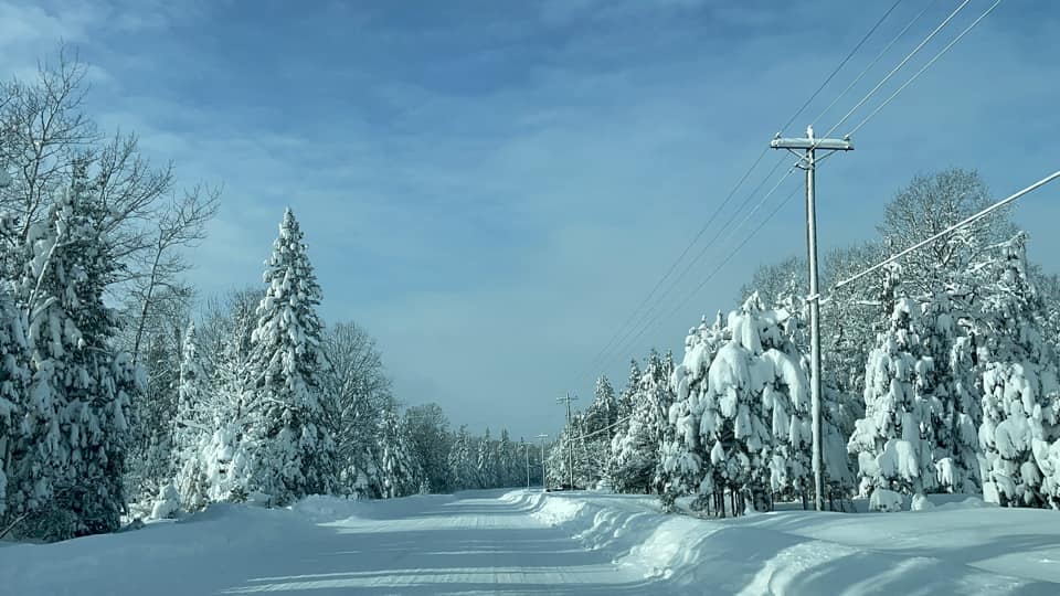
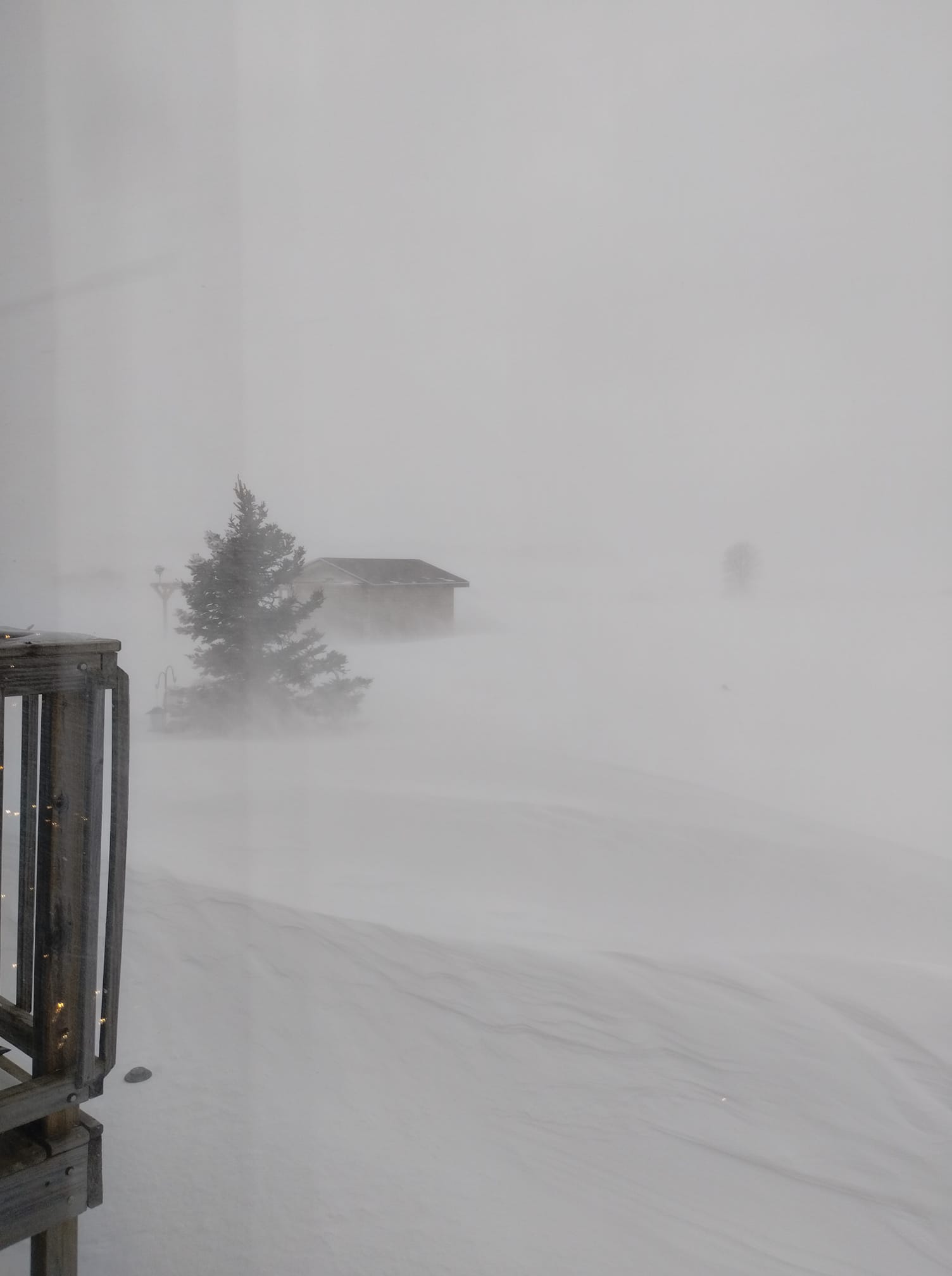
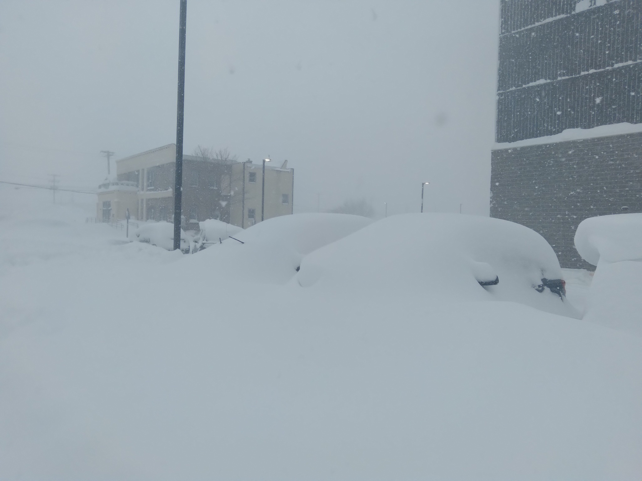
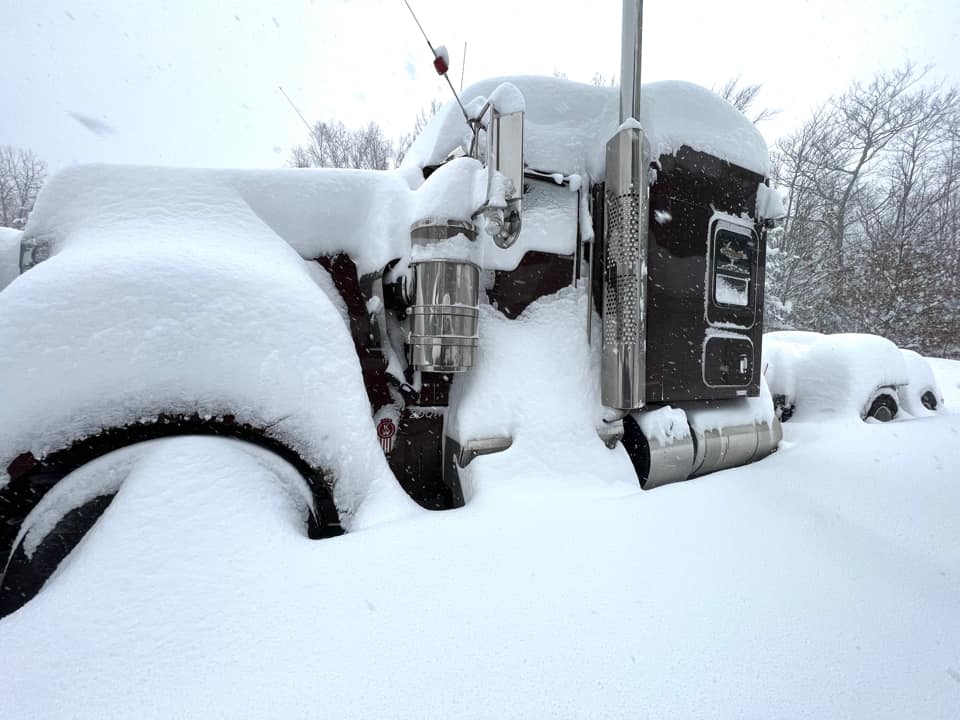
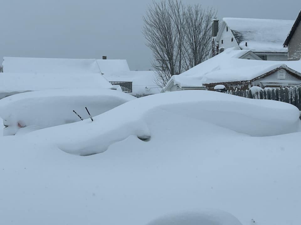
The storm produced accumulations over two feet over a wide swath of northwest lower and eastern upper. This combined with strong winds gusting between 40-50mph created widespread white-out conditions. Visibility was regularly reduced to between 0.25 and 0.50 miles for much of northern lower Friday morning through Saturday morning, and in eastern Upper Saturday morning through early Sunday. Within the heaviest snow visibility was reduced to well less than a quarter mile. This created numerous accidents across the area. Road closures ranged from local city closures near airports in Gaylord and Sault Ste. Marie to hours-long closures on state highways due to snow drifts. The Mackinac Bridge closed numerous times for high-profile vehicles. I-75 and I-94 in downstate Michigan had hours-long closures due to various multiple car/semi pileups. Drifts as high as 6 to 8 feet were common across the region.
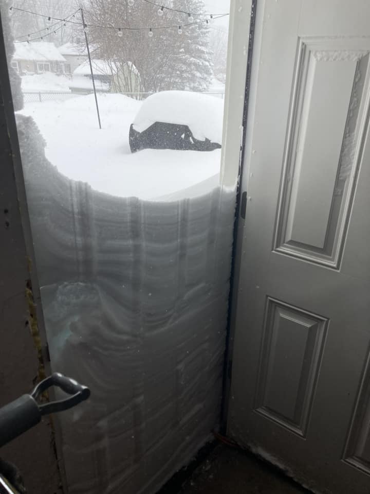
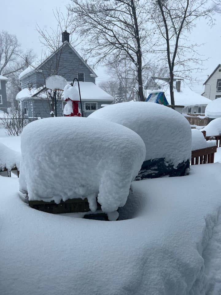
Areas near Sault Ste. Marie were especially hit hard during this event, with three feet of snow falling over northern Chippewa County. Even though the 1995 winter storm gave the SOO about 20 inches more total snow, the wind was worse with this system. Specifically emergency responders reported back to Chippewa county central dispatch that this was ‘one of the worst they had seen regarding travel and visibility’.
Power outages were sporadic and kept in check south of the bridge thanks to the slightly lower wind gusts than originally anticipated, and the dry powdery nature of the snow Friday and Saturday. Eastern Upper was not so lucky, with 2,300 customers (including all of Drummond Island) without power at the peak of outages early Saturday morning. Our region was insulated from the coldest air thanks to Lake Michigan, with temperatures holding in the teens through much of Friday and Saturday. The coldest wind chills were a couple degrees on either side of zero through most of the area, and in the negative teens near Manistee.
National Impacts:
This rapidly strengthening surface low swept a very strong arctic front across the eastern two-thirds of the United States. Northeast Colorado experienced a nearly 47 degree drop in one hour as the front pushed past on Wednesday afternoon. The cold front swept out into the Gulf of America, bringing temperatures some 25-30 degrees below normal for 2 days in the Gulf States. Florida specifically saw a cold Christmas morning, with Tampa falling just below freezing and Miami briefly getting down to 45 degrees with a wind chill of 40. Buffalo NY experienced the worst impacts from this storm system, with 50 inches of snow over 5 days. A very strong and nearly stationary lake effect band combined with near 80mph winds produced a blizzard for the history books Friday into Saturday. Unfortunately there were multiple fatalities with stranded vehicles and prolonged power outages as temperatures plummeted. The National Guard was called in to assist in rescue and recovery efforts as local responders got stranded themselves during the worst of the storm.
Wind Reports
Public Information Statement
National Weather Service Gaylord MI
815 AM EST Tue Dec 27 2022

...HIGHEST WIND REPORTS FROM FRIDAY 12/23/2022 - SATURDAY 12/24/2022...

Location                     Speed     Time/Date       Lat/Lon

...Alcona County...
Barton City                  43 MPH    0446 PM 12/23   44.66N/83.59W

...Alpena County...
Alpena - Phelps Collins      48 MPH    0106 PM 12/23   45.07N/83.57W

...Antrim County...
Central Lake                 52 MPH    1200 PM 12/24   45.12N/85.31W

...Benzie County...
Frankfort - Dow Memorial     44 MPH    0655 PM 12/23   44.63N/86.20W
Bear                         43 MPH    1108 PM 12/24   44.76N/86.06W

...Charlevoix County...
Charlevoix - Municipal Arpt  53 MPH    0115 PM 12/24   45.30N/85.27W
Beaver Island                40 MPH    0255 PM 12/23   45.70N/85.57W

...Cheboygan County...
Cheboygan - Cheboygan County 45 MPH    0835 AM 12/24   45.65N/84.52W
Indian River                 44 MPH    0520 PM 12/23   45.40N/84.61W

...Chippewa County...
Point Iroquois, MI           54 MPH    0654 AM 12/24   46.48N/84.63W
S.W. Pier, MI                45 MPH    1006 AM 12/24   46.50N/84.37W
Sault Ste Marie - Municipal  44 MPH    0958 AM 12/24   46.47N/84.37W
Little Rapids, MI            40 MPH    0724 AM 12/24   46.49N/84.30W

...Crawford County...
Grayling - Army Airfield     41 MPH    1253 PM 12/23   44.68N/84.73W

...Emmet County...
Petoskey                     52 MPH    0438 PM 12/24   45.36N/84.95W
Pellston - Rgnl Airport      46 MPH    0839 PM 12/23   45.57N/84.80W
Ncmc                         45 MPH    0600 AM 12/24   45.36N/84.94W
Harbor Springs - Municipal   41 MPH    1255 PM 12/24   45.43N/84.92W
3.6 SW Petoskey (MAWN)       40 MPH    0600 PM 12/24   45.33N/84.99W

...Grand Traverse County...
Traverse City - Cherry Capit 54 MPH    0154 PM 12/24   44.73N/85.57W
Williamsburg                 43 MPH    0400 AM 12/24   44.82N/85.44W
3.5 S Elk Rapids (MAWN)      40 MPH    1100 PM 12/24   44.84N/85.41W

...Iosco County...
Tawas Point                  55 MPH    0711 PM 12/23   44.25N/83.46W
Oscoda - Wurtsmith AFB       51 MPH    0755 PM 12/23   44.45N/83.40W

...Leelanau County...
1.5 W Northport (MAWN)       44 MPH    0600 PM 12/24   45.14N/85.65W
3.7 NW Suttons Bay (MAWN)    41 MPH    0200 AM 12/24   45.03N/85.67W

...Manistee County...
Manistee - Blacker Airport   49 MPH    0202 AM 12/24   44.27N/86.25W
Onekama                      41 MPH    1100 PM 12/23   44.35N/86.27W

...Ogemaw County...
West Branch                  45 MPH    1055 AM 12/23   44.25N/84.18W

...Oscoda County...
Luzerne                      42 MPH    0115 PM 12/23   44.64N/84.24W
2 NE Luzerne                 40 MPH    1205 PM 12/23   44.64N/84.24W
Mio                          40 MPH    0200 PM 12/23   44.68N/84.13W

...Otsego County...
Gaylord - Otsego County Airp 49 MPH    1211 PM 12/24   45.02N/84.68W

...Presque Isle County...
Rogers City                  41 MPH    0634 PM 12/23   45.40N/83.92W

...Roscommon County...
Houghton Lake - Roscommon Co 48 MPH    0212 PM 12/23   44.35N/84.67W

...Maritime Stations...
Leland Harbor                63 MPH    0708 PM 12/23   45.02N/85.76W
6 NE Northport               60 MPH    0940 AM 12/24   45.21N/85.55W
Mackinac Island              59 MPH    0835 AM 12/24   45.85N/84.63W
Elmwood Township Marina      52 MPH    0139 PM 12/24   44.79N/85.63W
Oscoda Light                 50 MPH    0205 PM 12/23   44.41N/83.32W
19 N Huron Beach             46 MPH    0600 AM 12/24   45.77N/84.14W
Beaver Island                44 MPH    0445 PM 12/24   45.63N/85.61W
Mackinac Island              43 MPH    0435 PM 12/23   45.85N/84.63W
1 SE Alpena                  40 MPH    1200 PM 12/23   45.06N/83.42W
West Neebish Island, MI      40 MPH    0712 AM 12/24   46.28N/84.21W

Observations are collected from a variety of sources with varying
equipment and exposures. We thank all volunteer weather observers
for their dedication. Not all data listed are considered official.
Photos
From NWS Gaylord and the Public
 |
 |
 |
 |
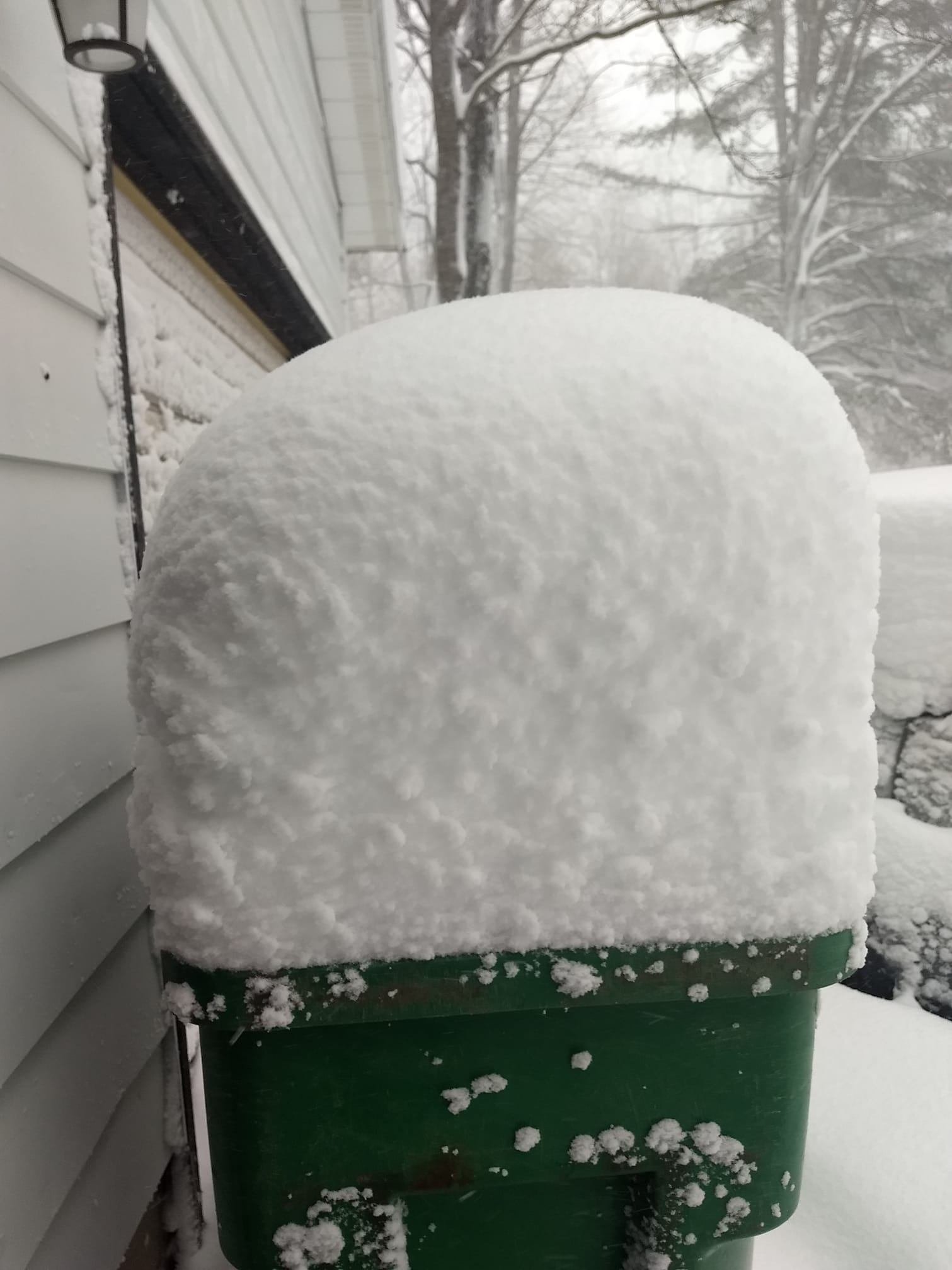
| 5 miles SW Gaylord, MI Stuart Fowler |
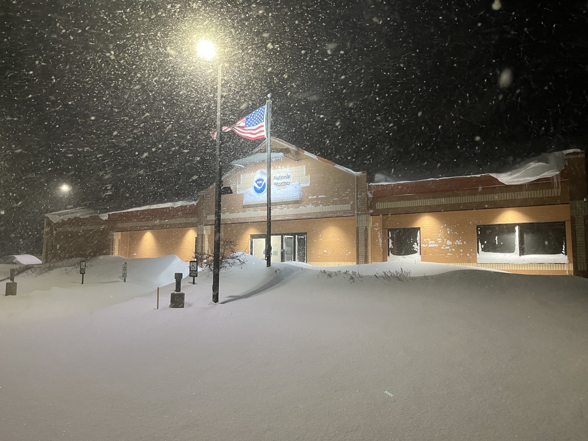
NWS Gaylord Friday night NWS Staff |
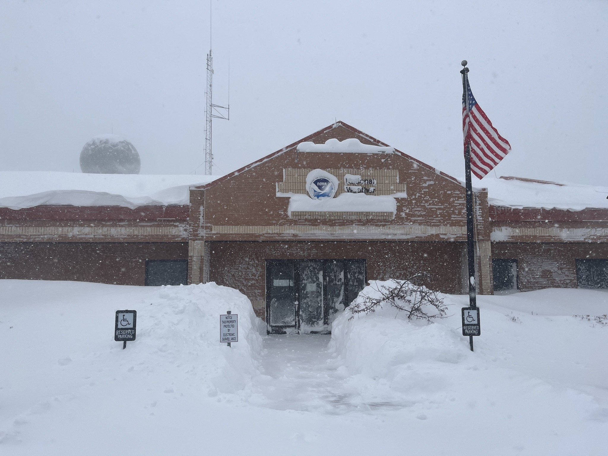
NWS Gaylord Saturday afternoon NWS Staff |
7-8 ft drifts near Cadillac, MI Dan Mcroberts |
 |
 |
 |
 |
| Cheboygan, MI Rose Mary Barrette |
Whiteout near 9 Mile south of SOO Chippewa Co Road Commision | Near Dafter, MI Tiffany Escherich |
Downtown Sault Ste. Marie Jenna Lipponen |
 |
 |
 |
 |
| Drummond Island Danielle Titus |
Drummond Island Aaron Belanger |
Gaylord, MI Ryan Kildee |
Gaylord, MI Tim Locker |
 |
 |
 |
 |
| Near Herron in Alpena Co Meagan Sharp |
7-8 ft drifts near Honor, MI |
Interlochen, MI Mary Ransom |
Mancelona, MI |
 |
 |
 |
 |
| Mancelona, MI Jesse Brendel |
Mancelona, MI Paula Meeker |
Manton, MI Travis Baker |
Near Brimley, MI Terri Cloudman |
 |
 |
 |
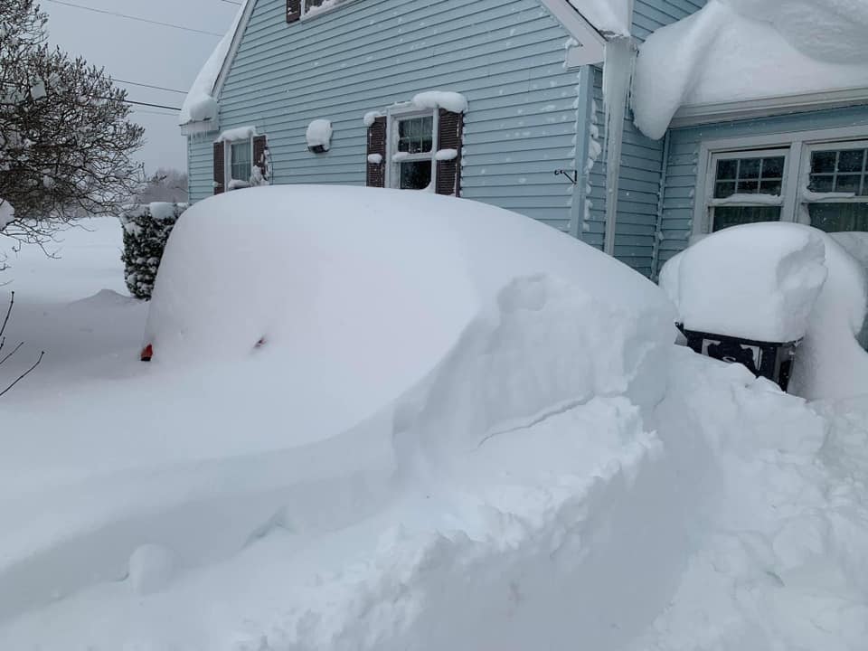 |
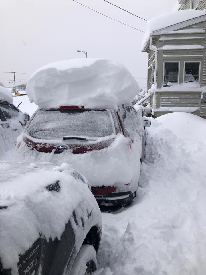
| Buried cars in Sault Ste. Marie, MI Chris Parton |
Sault Ste. Marie, MI Holly Ann |
Buried cars in Sault Ste. Marie, MI Jim Lehocky |
Buried car in Sault Ste. Marie, MI Kathryn Gilbert-Rogers |
 |
 |
 |
 |
| Snow drift in Sault Ste. Marie, MI Kierstin Loomis |
Sault Ste. Marie, MI Marie Barnaby Smith |
Sault Ste. Marie, MI Marlene Oberle |
Sault Ste. Marie, MI Tammy Golf Hazley |
 |
 |
 |
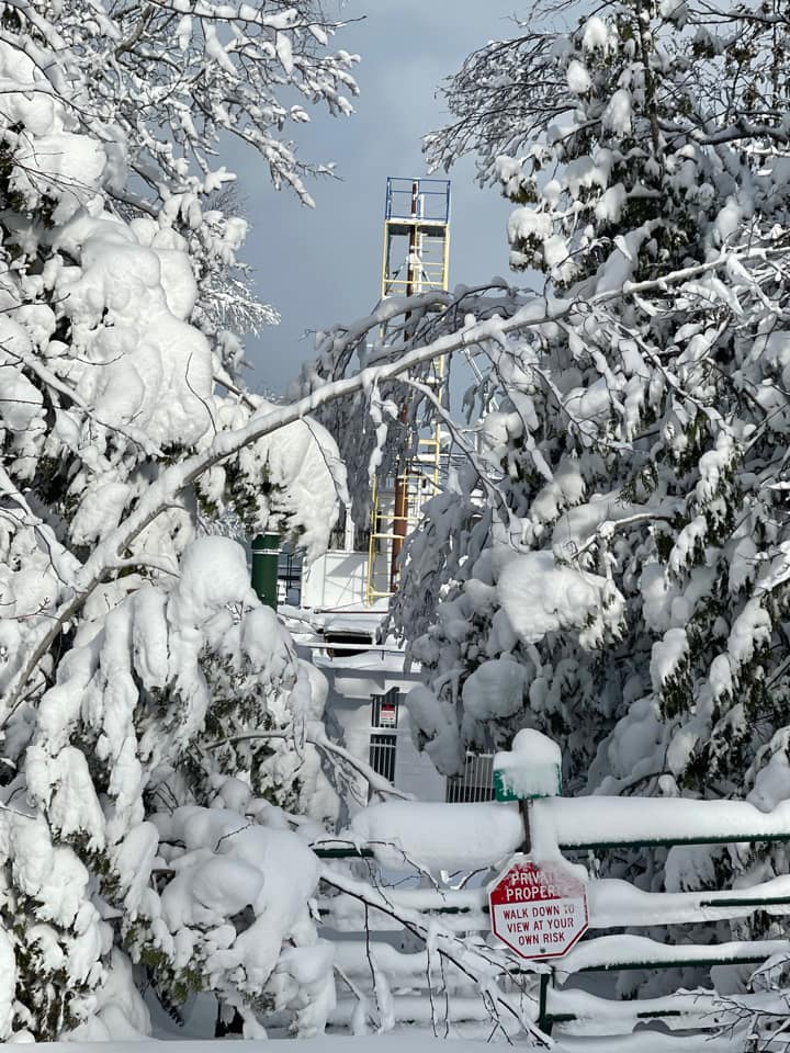 |
| South of Paradise, MI Kim Tunks |
Saturday in Traverse City, MI Sabrina Brandt |
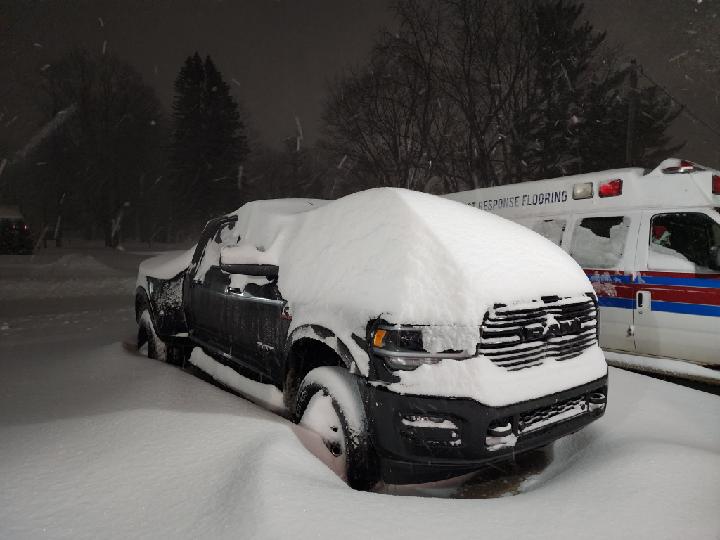
Friday night in Gaylord, MI Sabrina Jauernic |
Detour Villiage Debbie Hudak |
 |
Media use of NWS Web News Stories is encouraged! Please acknowledge the NWS as the source of any news information accessed from this site. |
 |