Wind Tools Review
-by Rob Cox-
NWS Wichita, Kansas
This fall, we have had some good wind events as one would expect. What I would like to do is to show some of the science and technology that was discussed in the recent seminar that will help you make headline decisions with regard to wind.
Basically, forecasting wind speeds for wind advisories can be boiled down to the following:
- Strong winds above the surface.
- A mechanism that will bring these down to the surface. This is typically strong mixing/instability in the boundary layer OR strong downward momentum that will force winds downward (e.g. positive omega).
There are a few tools that will help you do this.
| Here is a combined image of 1000-850mb lapse rate and 850mb windspeed (green dashed lines are 1000-850mb RH). What we are looking for here are areas where strong low level instability coincide with strong low level winds, so these winds can be mixed down to the surface. The brighted RED is where this exists (850mb Windspeed >45 knots and 1000-850mb Lapse rates >7.5 C/km). |
 |
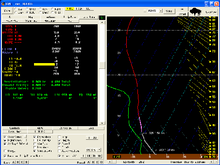
| BUFKIT has another way of assessing wind potential by looking at the soundings and utilizing its ability to calculate a momentum transfer. This image (click to enlarge) is the same 15Z forecast valid at 20Z by the RUC for KRSL. The winds at the top of the mixed layer are 50 knots. The sounding shows nice unidirectional wind and strong low level instability in the mixed layerl. The momentum transfer values are 38 knots. Typically, peak wind gusts will be a bit lower than the wind at the top of the mixed layer (50 knots), but will usually reach with little uncertainty the momemtur transfer values (38 knots). For this case, sustained winds were 20-30 knots with gusts to 45 knots. |

Click Image to Enlarge
|
Remember there are factors that can prohibit this from occurring. Typically, you want very few clouds, as the will decrease mixing. With that said, it can still occur, but the clouds will undoubtedly hinder mixing and therefore transport of winds to the surface.
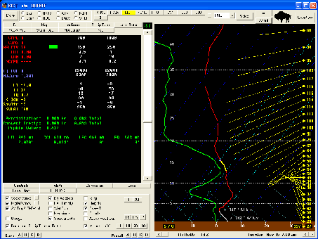
| Here is another case, the November 15th case here we issued a High Wind Watch, then Warning. BUFKIT clearly shows the potential high wind. The image here (click to enlarge) shows the 3 things here we want to see, unidirectional flow, strong instability, and strong winds. |

Click Image to Enlarge
|