Overview
|
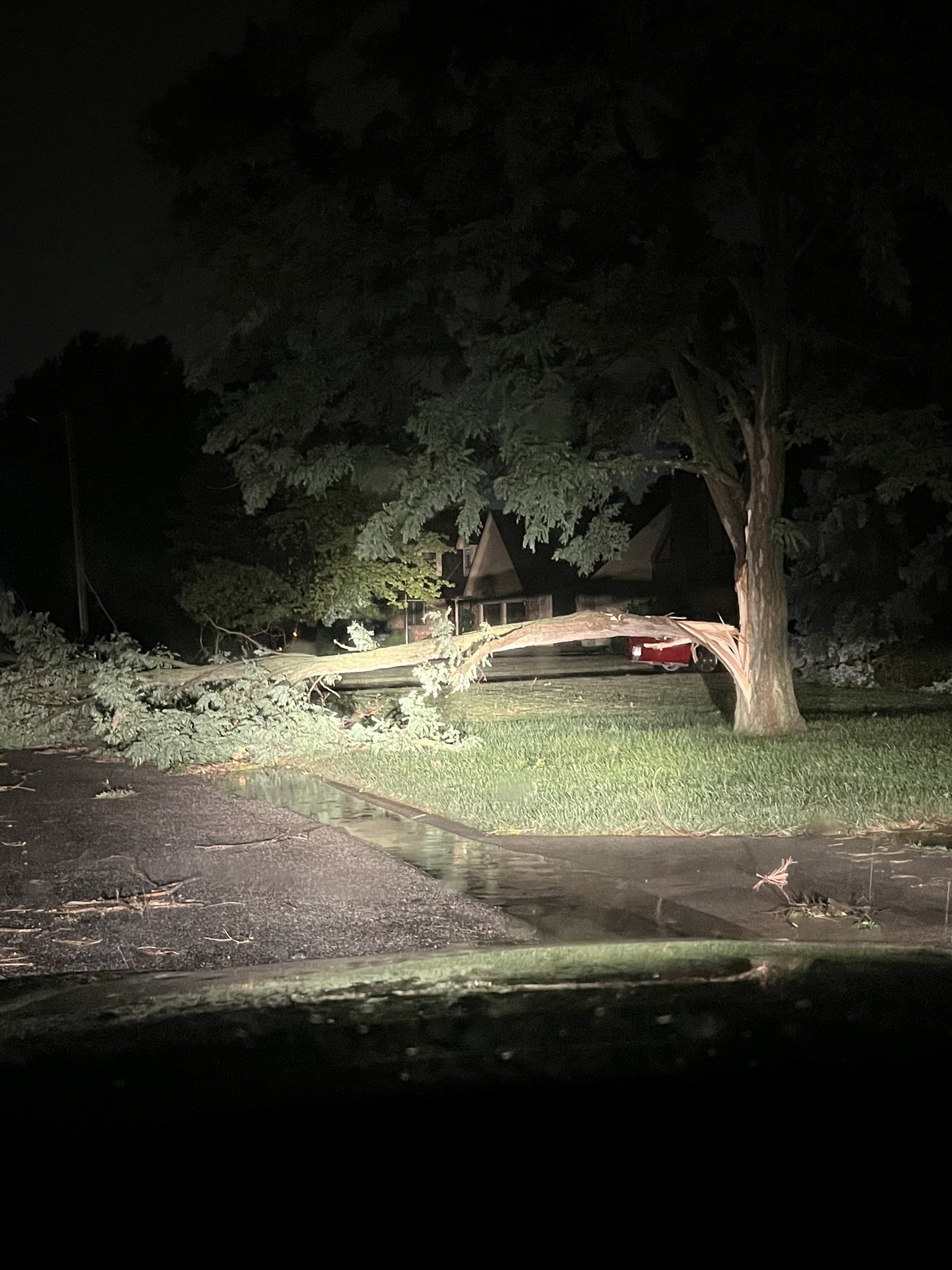
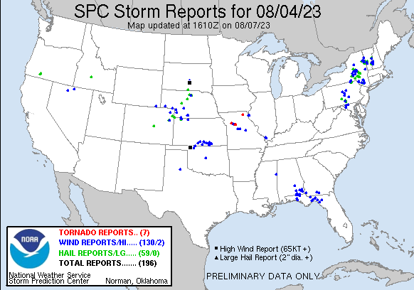
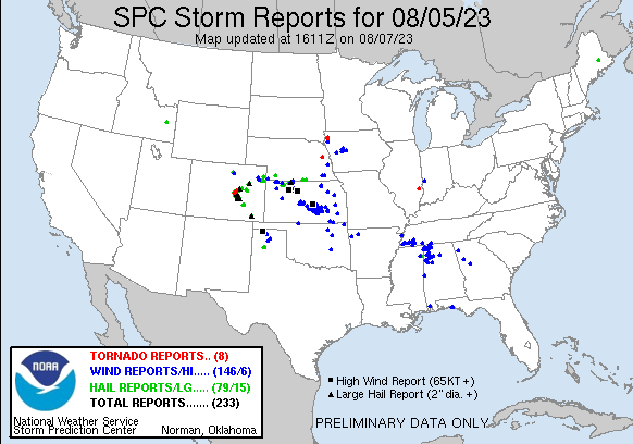
Two rounds of severe storms affected the region through April 5th and 6th. The first was a round of early morning storms that affected mainly South Central Kansas on Saturday August 5th. Hardest hit were the towns of Winfield and Arkansas City where extensive tree damage took place along with some structural damage. In one instance, a two foot diameter tree was toppled along with a semi blown over. Later that evening, another round of storms developed over Northwest Kansas and tracked quickly southeast through the overnight hours. This line of storms produced widespread 70 to 80 mph winds which resulted in numerous power outages along with extensive tree damage. Hardest hit were the towns of Hutchinson, McPherson along with parts of Marion and Butler counties. |
 Wind damage in McPherson. Picture from Bryan Baerg |
Early morning August 5th storms
|
Radar animation from the early morning of Aug 5th |
Infrared satellite image from the early morning of Aug 5th |
 |
|
|
|
|
Late night of August 5th into August 6th
 |
|
|
|
|
 |
Media use of NWS Web News Stories is encouraged! Please acknowledge the NWS as the source of any news information accessed from this site. |
 |