Overview
|
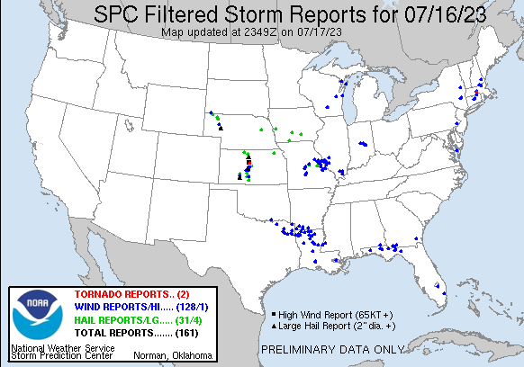
A powerful supercell thunderstorm tracked straight south during the early evening of hours of July 16th. This storm produced extreme wind gusts across Russell and Barton counties. At the Russell Airport, a 77 mph wind gust was recorded. These strong winds continued as the storm moved into Great Bend, which resulted in widespread wind damage throughout town. Wind gusts up to 85 mph were estimated in the western sections of Great Bend where a roof was peeled off a church. In addition to the strong winds, this same storm produced hail up to softball size! |
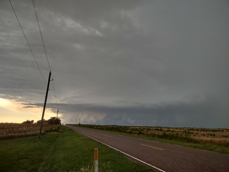
Supercell approaching St. John. Picture by Mark Pata |
Photos & Video
 |
 |
| Radar animation showing the supercell dropping south across central Kansas | Infrared satellite loop showing the same storm tracking south |
|
|
|
|
|
|
|
|
|
 |
Media use of NWS Web News Stories is encouraged! Please acknowledge the NWS as the source of any news information accessed from this site. |
|