Overview
|
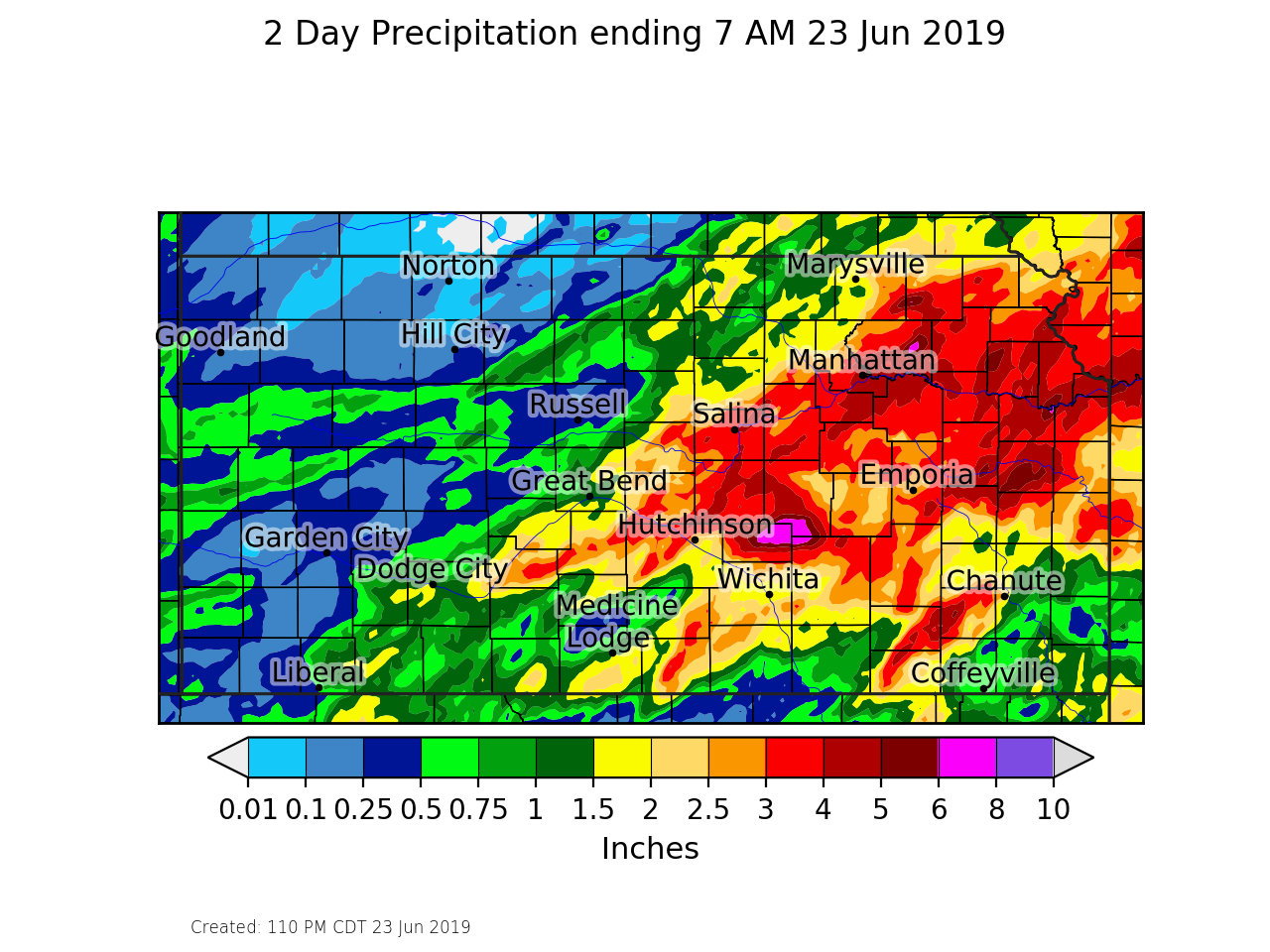
An extremely unstable atmosphere was in place Saturday June 23rd which allowed for two rounds of severe storms across south central Kansas. First round of storms struck around 6 pm and produced 60 to 80 mph winds over western Sedgwick county, causing tree damage and power outages. A second round of storms hit southern Sedgwick county around 4 am and produced winds approaching 100 mph that caused significant damage in and around Derby. Heavy rainfall also caused flash flooding along with sending numerous rivers back into flood across the entire area. |
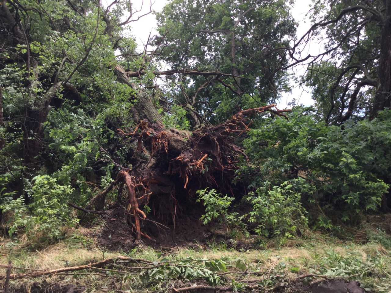
 Tree damage northwest of Peck |
Photos & Video
Saturday early evening damage
|
|
|
|
|
|
Early morning Sunday storms - 4 am to 6 am
Very strong straight-line winds caused extensive damage from northwest of Peck into Derby during the early morning hours on June 23rd. Damage survey estimated that this storm produced 60 to 90 mph straight-line winds.
|
Tree damage 3 miles southwest of Derby |
What is left of an outbuilding that was blown into the garage of a home located around 4 miles sw of Derby |
Tree damage in Derby |
|
Power poles snapped around 3 miles southwest of Derby |
Tree damage around 3 miles nw of Peck |
Map showing the path of the strongest winds and associated damage. |
|
|
|
|
|
Radar and rainfall
|
Radar image from around 6:30pm as damaging winds were starting to move into far west Wichita |
Radar velocity image from around 6:30pm showing strong inbound winds moving into west Wichita. |
|
Radar image from around the time 70 to 90 mph winds were moving into Derby |
Radar velocity image showing strong winds in the Derby area. |
|
|
 |
 |
Media use of NWS Web News Stories is encouraged! Please acknowledge the NWS as the source of any news information accessed from this site. |
 |