Rare Arctic Air Mass to Start the New Year
|
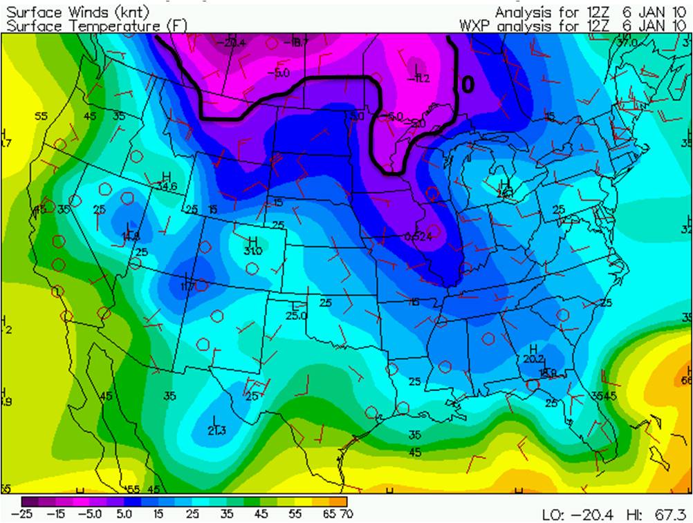
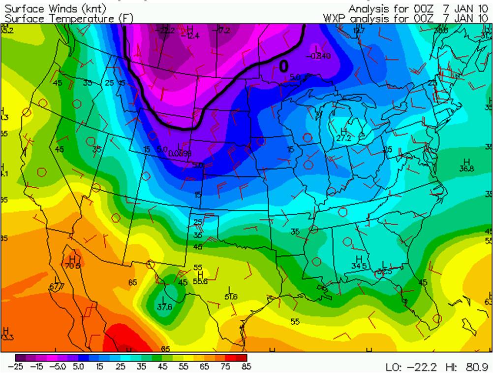
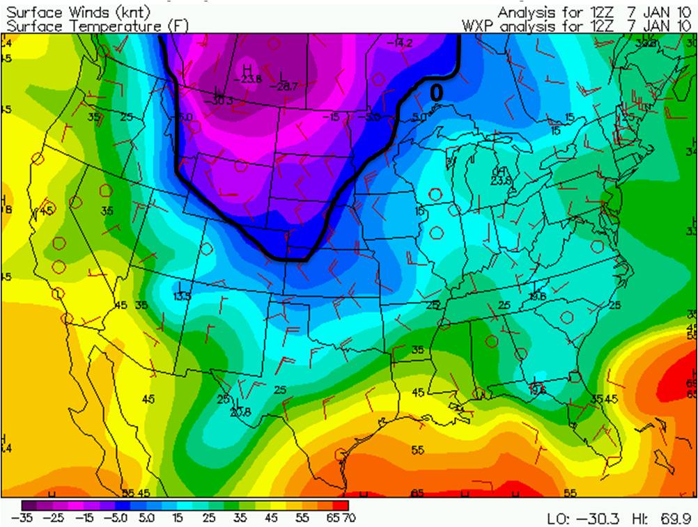
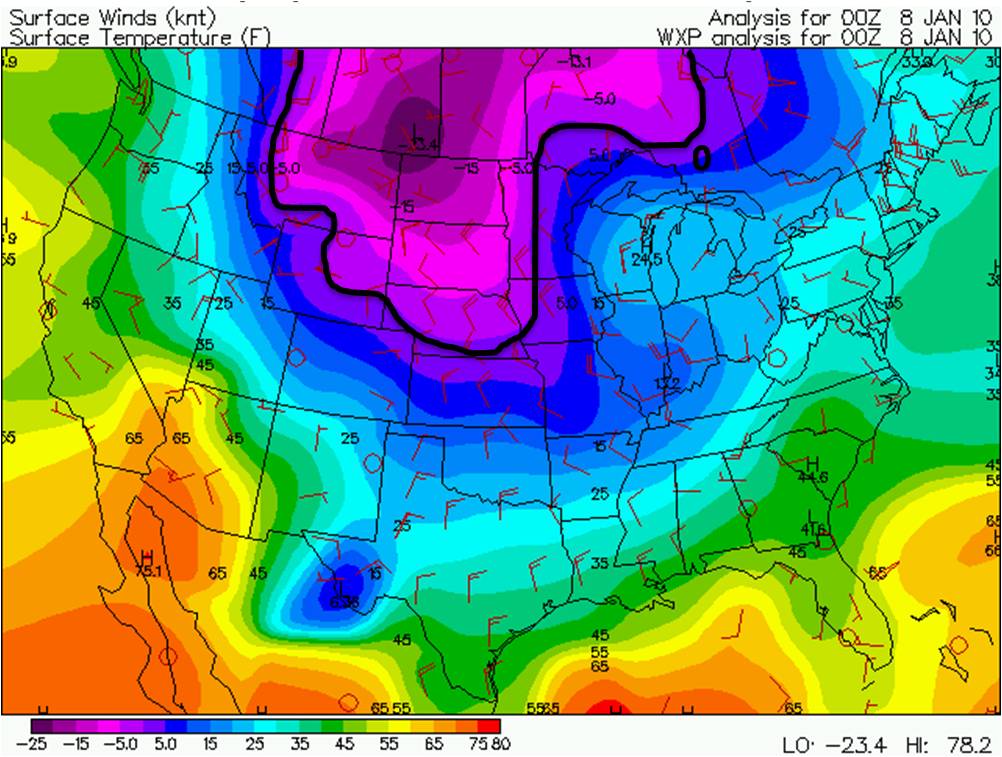
An unusually cold Arctic airmass came across the area on January 6th and stayed through January 9th putting record low temperatures in jeopardy. In the images below you can see that on the morning of January 6th the cold air was mainly over Canada. Throughout the day and even into Thursday January 7th, you can see the cold airmass continuing to drop south into the Plains. This area has not seen a cold airmass like this since December 2005, and even February 1996 before that. So far the Wichita Area has had 9 consecutive days below freezing which is uncommon, especially since the average temperature is 39 F.
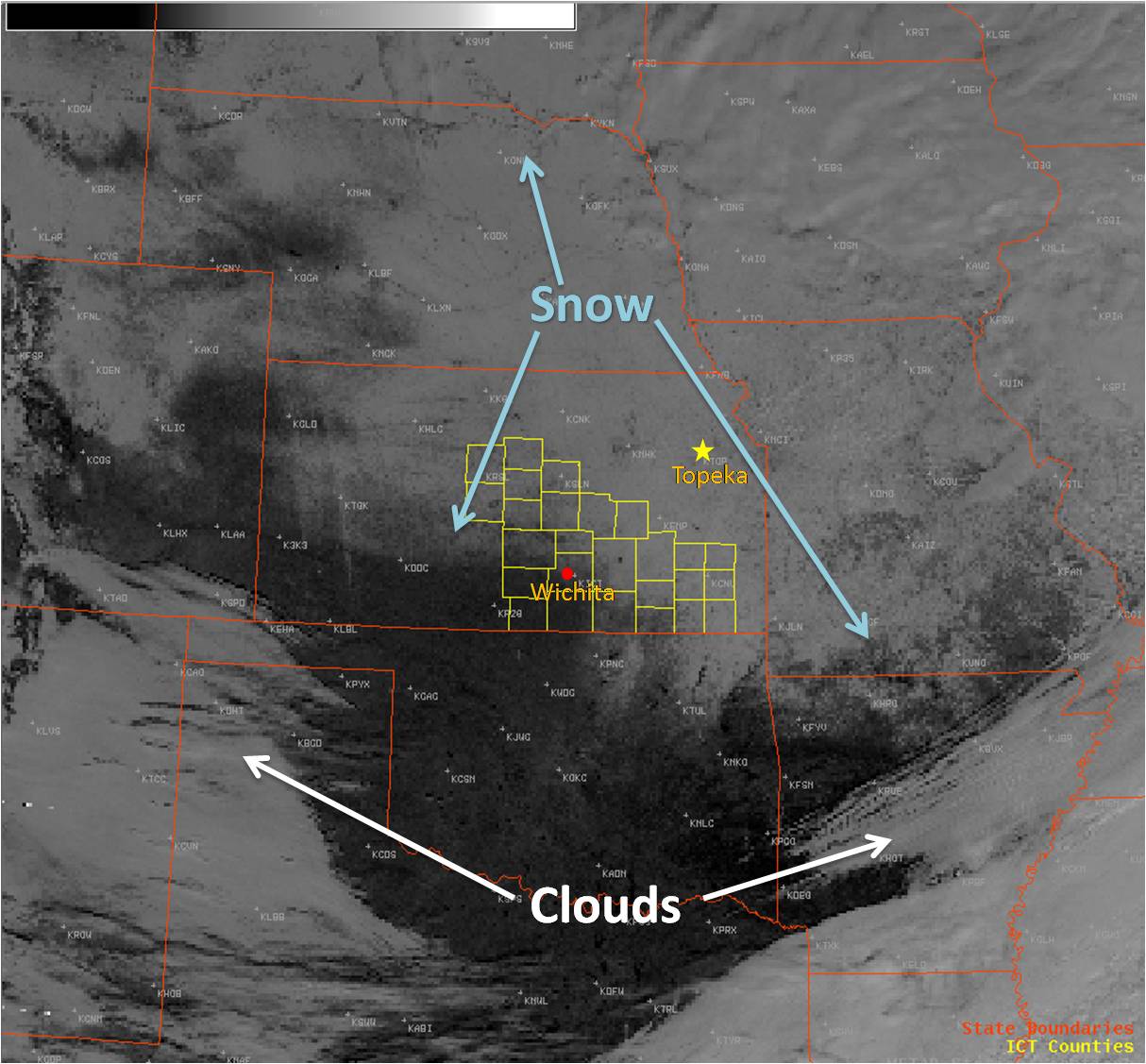
Besides the cold temperatures, this Arctic airmass brought in very strong winds throughout the area on the evening of January 6th and on Thursday the 7th. These strong winds combined with the very cold temperatures created dangerous wind chills. Below are graphs of the strongest winds and the coldest wind chill temperatures. Wind chills through this cold outbreak created dangerous situations for people, animals, and property that were outdoors for a long period of time. Several schools across the area were cancelled or delayed, waterline mains bursted and slick driving conditions were reported. On January 6th an upper level system moved its way across the Northern Plains. The cold front associated with it draped across the area bringing in a few bands of snow through Central, South Central and Southeast KS. Due to lack of moisture snow amounts were roughly around 1-3 inches, yet this combined with strong winds created very low visibilities and therefore dangerous driving condtions. A total snowfall map is below.
|
|||||||||||||||||||||||||||||||||||||||||||||||||||||||||||||||||||||||||||||||
|
Wednesday January 6th, 6 AM Temperatures |
Wednesday January 6th, 6 PM Temperatures |
||||||||||||||||||||||||||||||||||||||||||||||||||||||||||||||||||||||||||||||
|
Thursday January 7th, 6 AM Temperatures |
Thursday January 7th, 6 PM Temperatures |
||||||||||||||||||||||||||||||||||||||||||||||||||||||||||||||||||||||||||||||
|
|
||||||||||||||||||||||||||||||||||||||||||||||||||||||||||||||||||||||||||||||
|
|
|||||||||||||||||||||||||||||||||||||||||||||||||||||||||||||||||||||||||||||||
|
Satellite Image from Jan 7th at Noon |
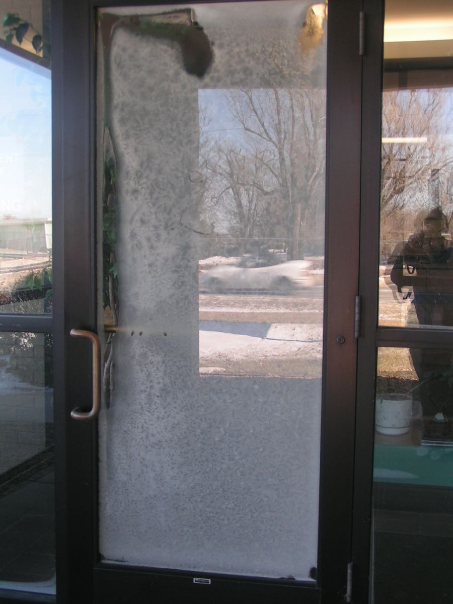
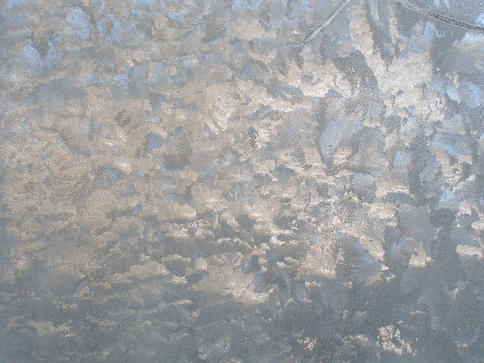
Cold Temperatures covers NWS front door with Ice |
||||||||||||||||||||||||||||||||||||||||||||||||||||||||||||||||||||||||||||||
|
Ice on the NWS front door |
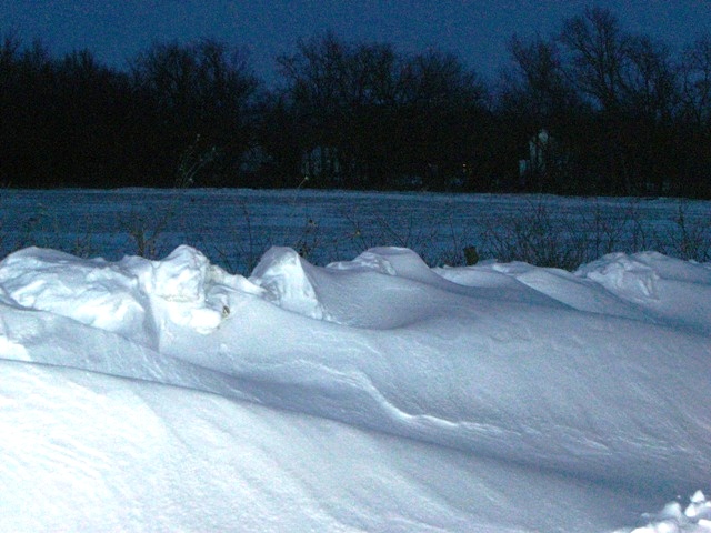
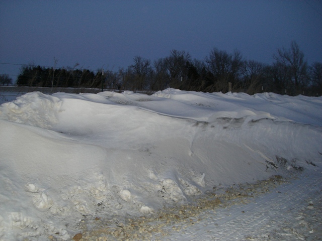
Snow Drift at 6miles N of El Dorado. Picture by Butler Co. EM |
Snow Drift at NW 60th & Havenhill in Butler Co. Picture by Butler Co. EM |
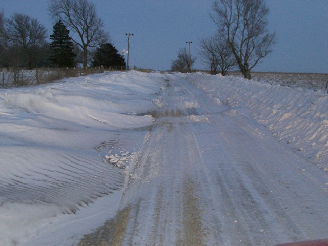
Snow Covered Road 5miles N of El Dorado. Picture by Butler Co. EM |
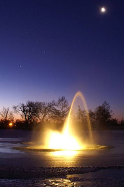
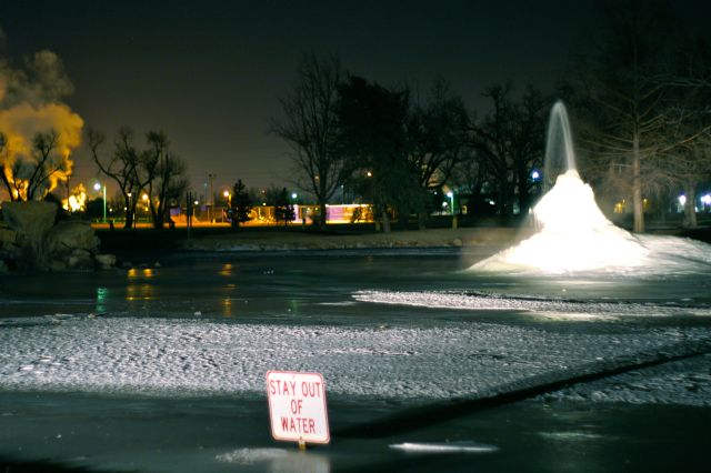 Fountains at Hutchinson's Carey Park. Picture taken by Rob Rose |
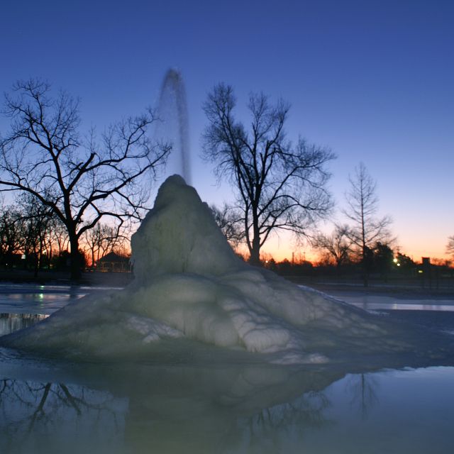
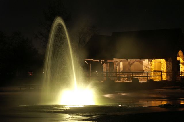 Fountains at Hutchinson's Carey Park. Picture taken by Rob Rose |
 Fountains at Hutchinson's Carey Park. Picture taken by Rob Rose |
 Fountains at Hutchinson's Carey Park. Picture taken by Rob Rose |