Heavy Wet Snow Impacts South Central Kansas, Including Wichita
February 7th - 8th 2010
|
A narrow band of wet-heavy snow developed during the late night hours of February 7th in to the early morning hours of February 8th. This band of heavy snow developed as two areas of low pressure converged on Kansas. You can see from the map below that the heaviest snow occurred in a band extending from Eastern Kingman County, through Wichita and to near El Dorado. Intense lift combined with temperatures at or just above freezing to produce a very wet and heavy snow that fell straight down due to lack of wind.
|
|
Radar loop showing the intense band of snow over Wichita. |
 Water vapor satellite image combined with 500mb heights, showing the two areas of low pressure. |
Heavy snowfall at the National Weather Service Office. |
||

National Weather Service Office. |
National Weather Service Office. |
Across the street from the National Weather Service Office. |
||

Across the street from the National Weather Service Office.
|
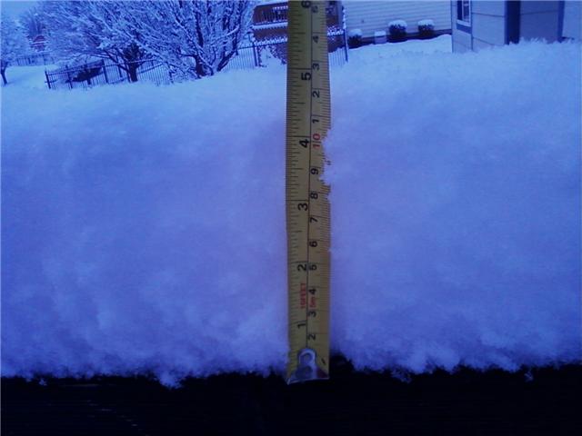 Snow measurement from near Maple and Maize in West Wichita. Photo taken by Chris Jakub. |
 Near 119th and Kellogg. Photo taken by Bryce Kintigh. |
||

Picture was taken in Watson Park in Wichita. Photo by Darrin Hackney.
|
Snowfall from near west 21st and 119th. Photo taken by Brad Ketcham.
|

Snowfall from near west 21st and 119th. Photo taken by Brad Ketcham.
|
||
|
Visible satellite image from the afternoon of February 9th. Note how narrow the band of snowfall was. |
||||
|
Snow from near 21st and Maize in West Wichita. Photo by Janet Spurgeon. |
Heavy wet snow blankets trees in West Wichita. Photo by Janet Spurgeon. |
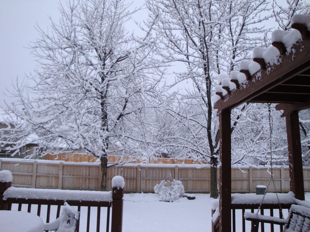
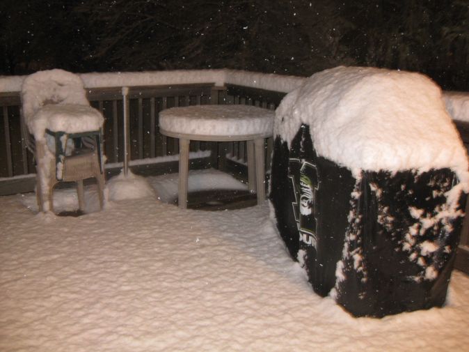
Snow piles up on deck furniture in West Wichita. Photo by Janet Spurgeon. |
||
|
Snow in West Wichita. Photo by Janet Spurgeon. |
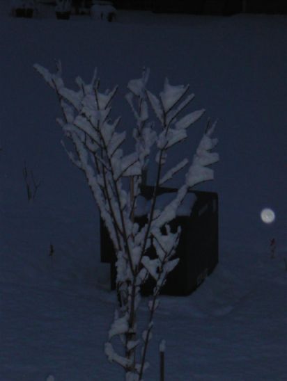
Snow sticks to tree branches because of little wind in West Wichita. Photo by Janet Spurgeon. |
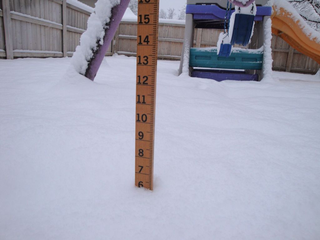
Snow measurement taken near 21st and Maize in Wichita. Photo by Janet Spurgeon. |
||