...WINTER STORM BRINGS A WHITE CHRISTMAS TO THE AREA...
BY: Kevin Darmofal and Stephanie Dunten
|
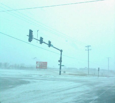
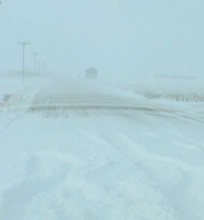
Deep low pressure moved from the southern Plains into the Midwest from Christmas Eve into Christmas Day, producing strong winds, areas of heavy snow, and near blizzard conditions, from Oklahoma, eastern Kansas, and western Missouri, into the upper Midwest. A wintry mix of freezing drizzle, light freezing rain and sleet preceded the snowfall across central and southeast Kansas early on Christmas Eve day. This created some slick roadways across the area. As colder air moved in on strong and gusty north winds, the wintry mix changed to snow by afternoon and evening. The more intense snowfall occurred across the Flint Hills and southeast Kansas during the evening on Christmas Eve, where snowfall amounts ranged from 4 to 8 inches. However, the strong north to northwest winds resulted in blowing snow and very low visibilities, with snow drifts as high as 4 feet. The snow diminished to flurries by Christmas morning, however the winds remained quite gusty from the west to northwest. This combined with very cold temperatures in the teens, to produce wind chills from 5 below to 10 below zero. The image below shows the snow depth totals from this storm
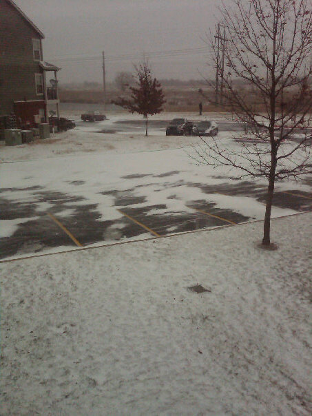
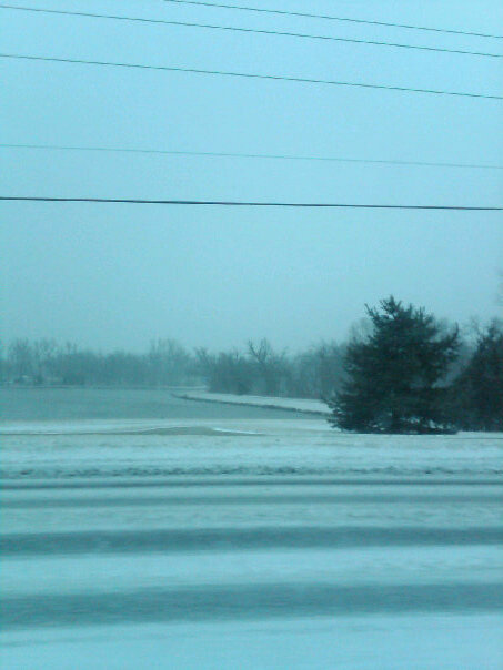
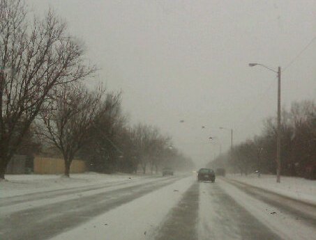
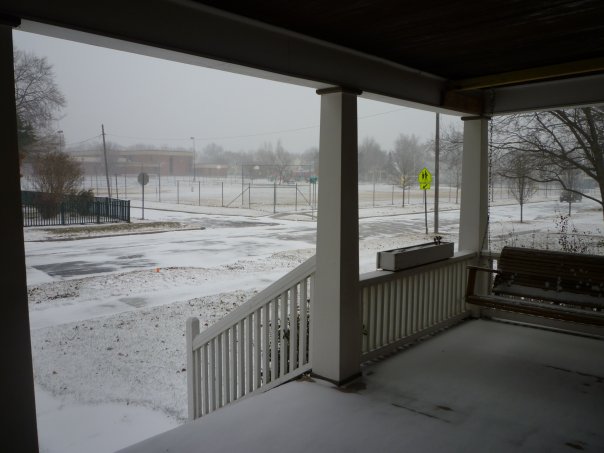
Pictures Across the area... Have any snow Pictures? Send them to Wichita.Stormpics@noaa.gov
|
|||||||||||||