Widespread Severe Weather May 24th 2011
|
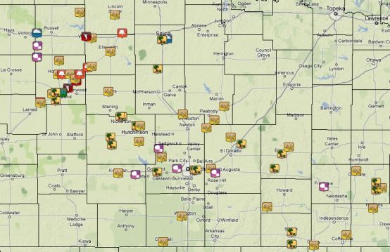
What Happened: A powerful upper level storm system brought widespread severe weather to the region during the afternoon and evening hours of Tuesday, May 24th 2011. Background: The upper level system encountered a very unstable airmass across Kansas on the afternoon of May 24th 2011. Thunderstorms developed rapidly over Oklahoma and Southwest Kansas by mid-afternoon then raced northeast into Central and South Central Kansas by around 4 pm. The storms then spread eastward into Southeast Kansas during the evening hours. Tornadoes touched down in Central Kansas and caused some damage along with some sporadic large hail reports. The main severe weather hazard from this event was numerous reports of damaging and destructive winds. Many locations across the region witnessed wind speeds of 80-100 mph which resulted in several reports of damage.
|
|
(Visible satellite image at 4:40pm showing the big thunderstorms over the Central Plains) |
|
(Bowing storm produces 80mph winds in southeast Kansas) |
(Radar loop of severe storms moving across the region) |
Reports
|
(Severe reports across the country for May 24th 2011) |
 |
Barton County Tornadoes
Southeast Kansas Damage from 80-100 mph Straight-line Winds south of Erie
|
|
|
|
|
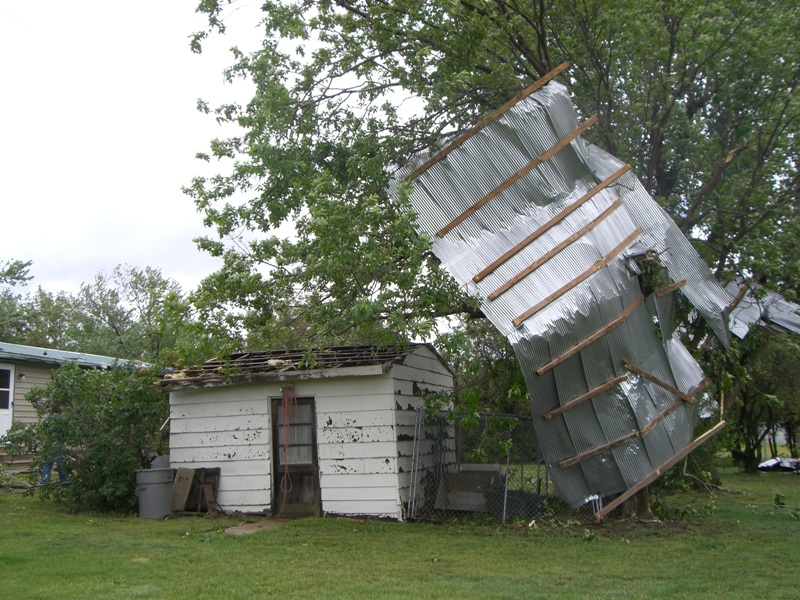
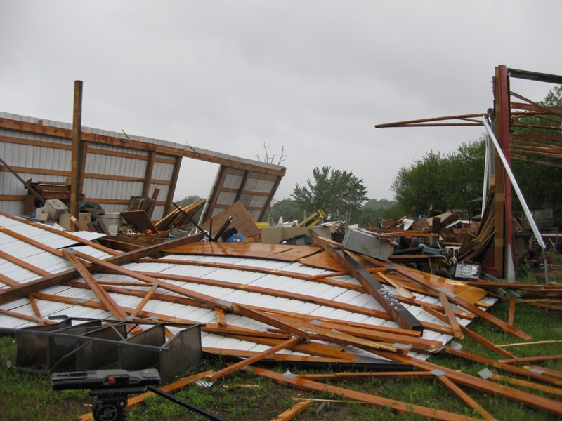
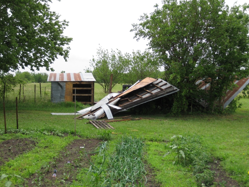
90-100 mph straight-line wind damage east and northeast of Rose Hill
(images courtesy Butler County Emergency Management)
 |
 |
 |
 |
 |
 |
 |
 |
 |
 |