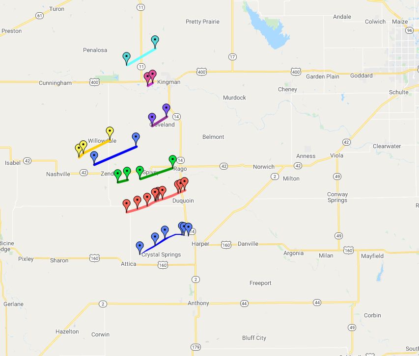
|
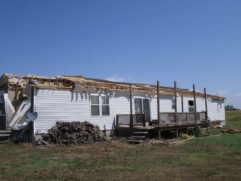
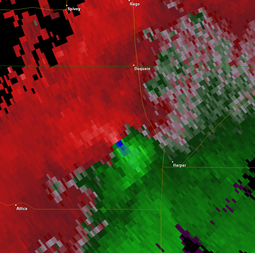
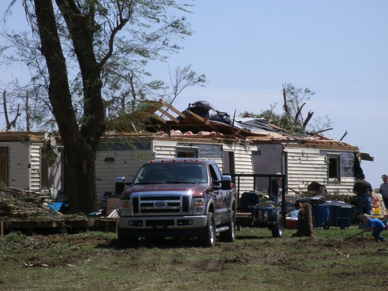
EF1 damage to manufactured home 5 miles west of Harper
|
EF1 damage to manufactured home 5 miles west of Harper |
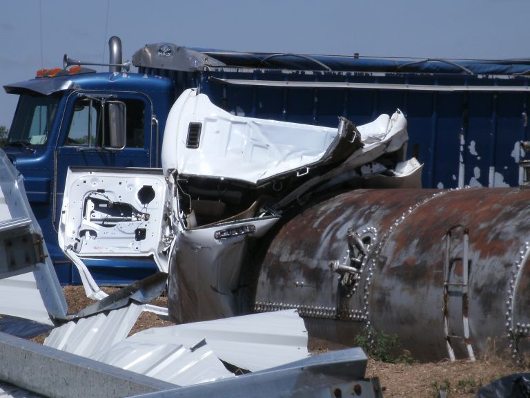
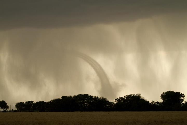
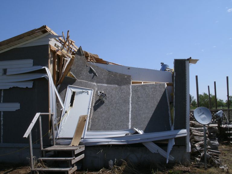
EF3 damage to farmstead 4 miles west and 2 miles north of Harper |
EF3 damage to farmstead 4 miles west and 2 miles north of Harper |
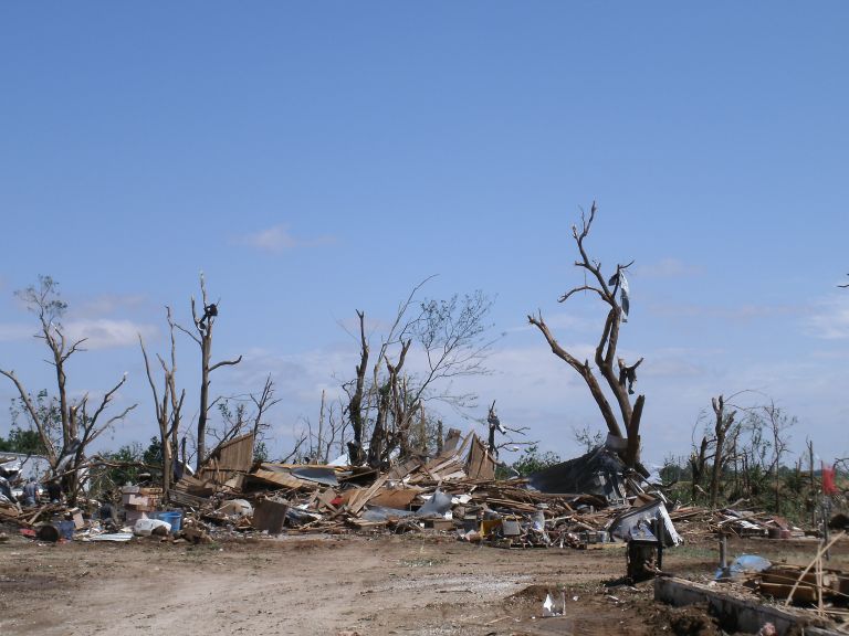
EF3 damage to farmstead 4 miles west and 2 miles north of Harper |
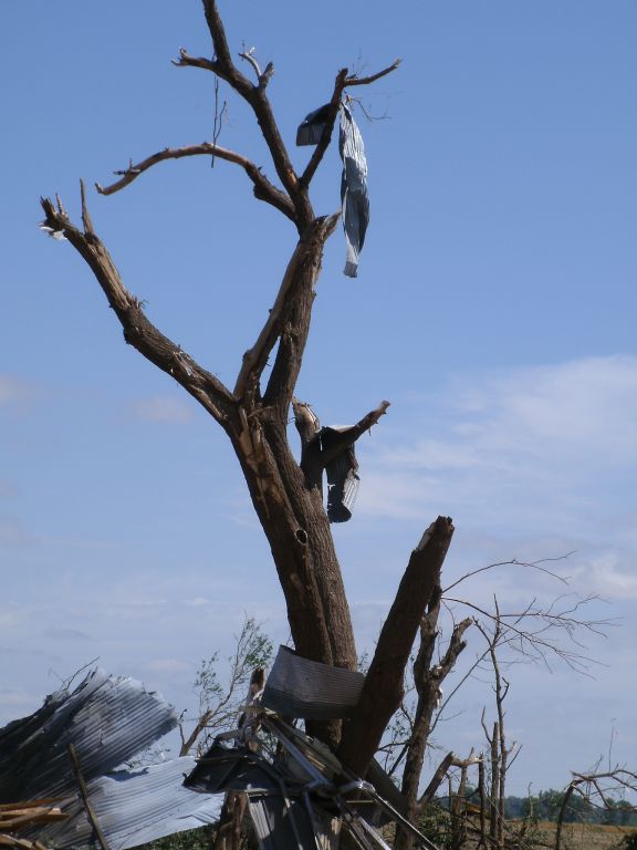
EF3 damage to farmstead 4 miles west and 2 miles north of Harper |
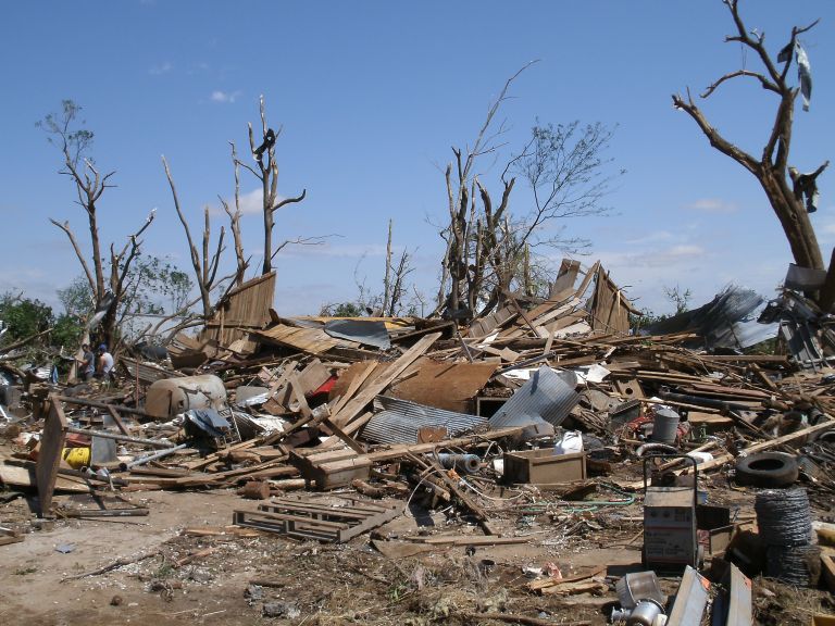
EF3 damage to farmstead 4 miles west and 2 miles north of Harper |
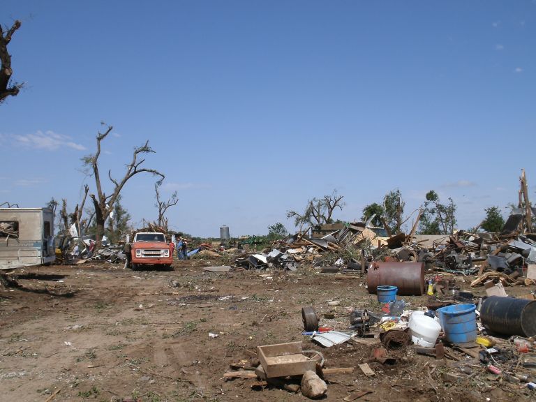
EF3 damage to farmstead 4 miles west and 2 miles north of Harper |
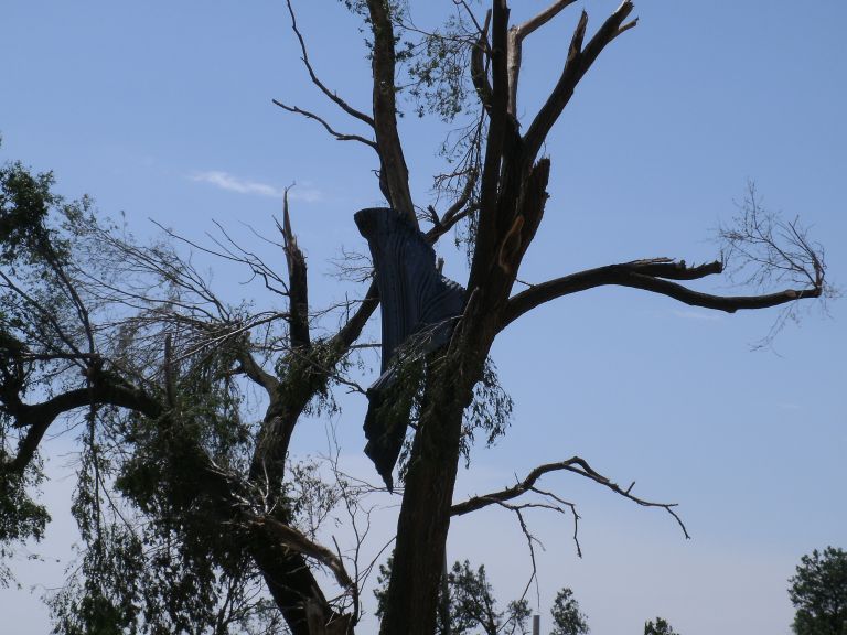
EF3 damage to farmstead 4 miles west and 2 miles north of Harper |

EF3 damage to farmstead 4 miles west and 2 miles north of Harper |
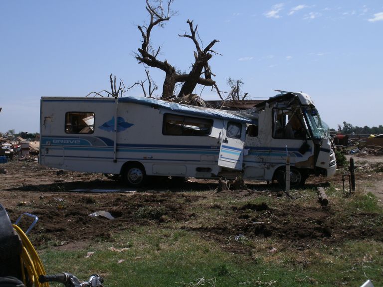
EF3 damage to farmstead 4 miles west and 2 miles north of Harper |
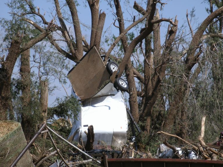
EF3 damage to farmstead 4 miles west and 2 miles north of Harper |
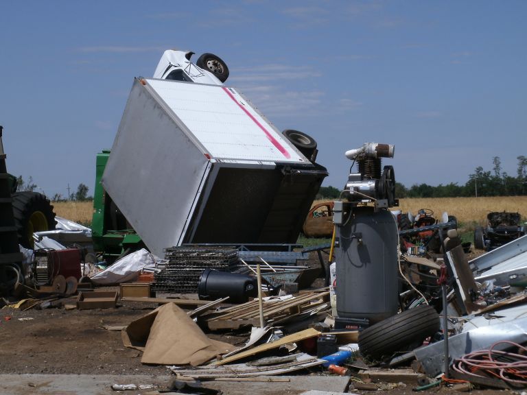
EF3 damage to farmstead 4 miles west and 2 miles north of Harper |
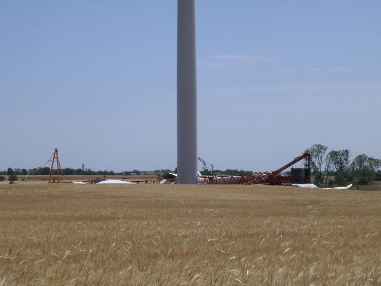
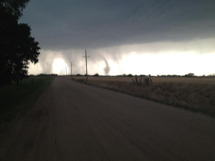
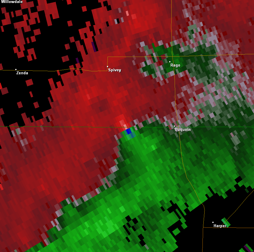
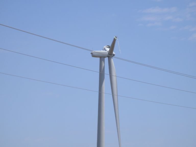
EF1 damage to a wind turbine about 6 miles SW of Spivey |

EF1 damage to a wind turbine about 5 miles S of Spivey |
EF1 damage to a wind turbine about 5 miles S of Spivey |
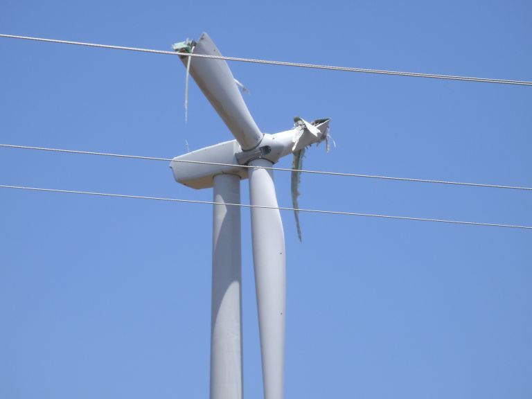
EF1 damage to a wind turbine about 5 miles S of Spivey |
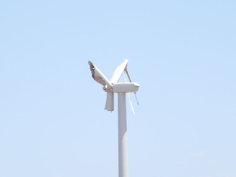
EF1 damage to a wind turbine about 4 miles SE of Spivey |
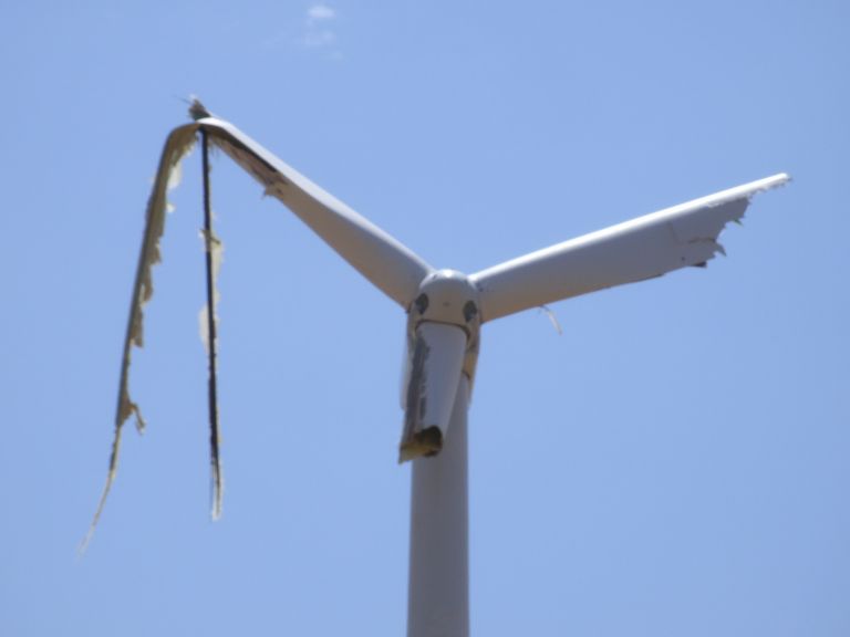
EF1 damage to a wind turbine about 5 miles SE of Spivey |
|