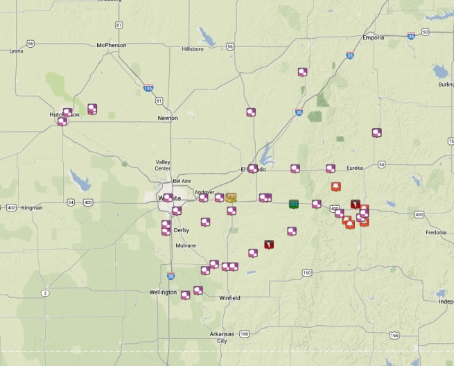
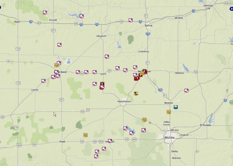
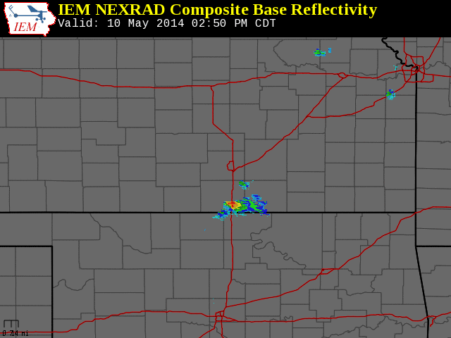
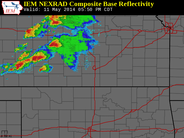
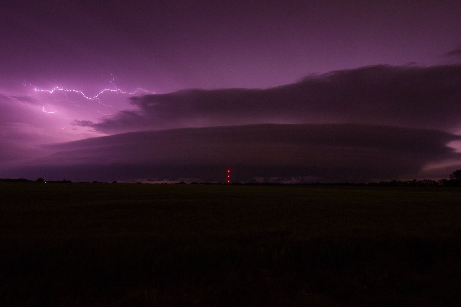
Storms developed during the afternoon hours of Saturday May 10th across the Flint Hills as a dryline retreated to the northwest. These storms produced numerous reports of large hail along with a couple brief tornado touchdowns. On Sunday, storms once again developed along this same dryline, but this time it was over western and central Kansas. These storms slowly tracked east through the evening hours producing damaging winds, large hail and tornadoes over Rice and McPherson counties. Significant damage was not reported with these tornadoes.
Storm reports
Storm reports from May 10th 2014. Click image for more detail.
Storm reports from May 11th 2014. Click image for more detail.