|
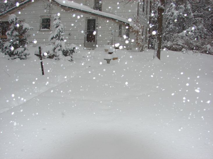
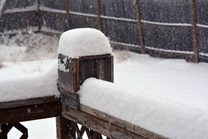
4 miles south of Partridge. Picture taken by Tolly Vaughn.
|
4 miles south of Partridge. Picture taken by Tolly Vaughn.
|
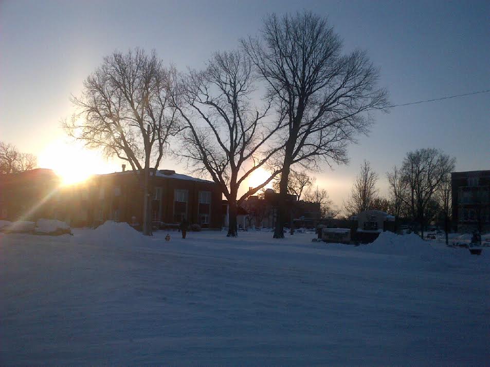
Picture taken near Benton by Robert Johnstone |
|
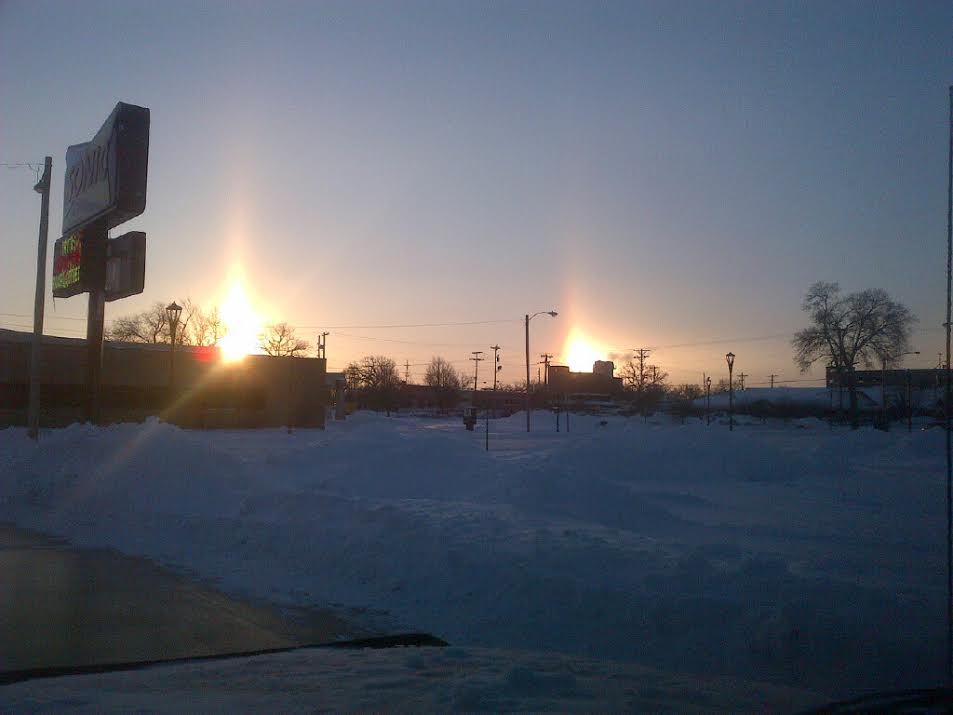
Sun dog picture taken in Salina, KS by Keith Jeffers.
|
Sun dog picture taken in Salina, KS by Keith Jeffers.
|
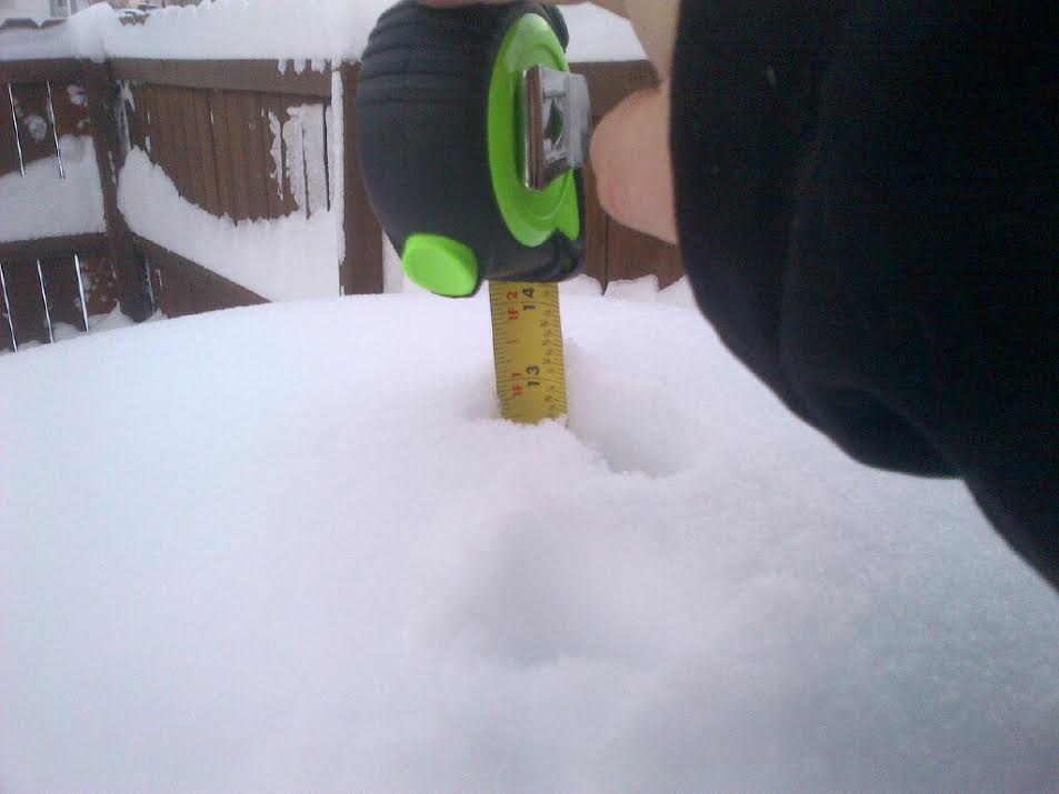
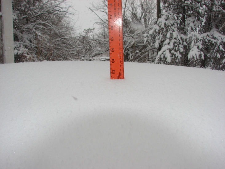
Snow depth in Salina, KS. Picture courtesy of Keith Jeffers.
|