Des Moines, IA
Weather Forecast Office
Overview
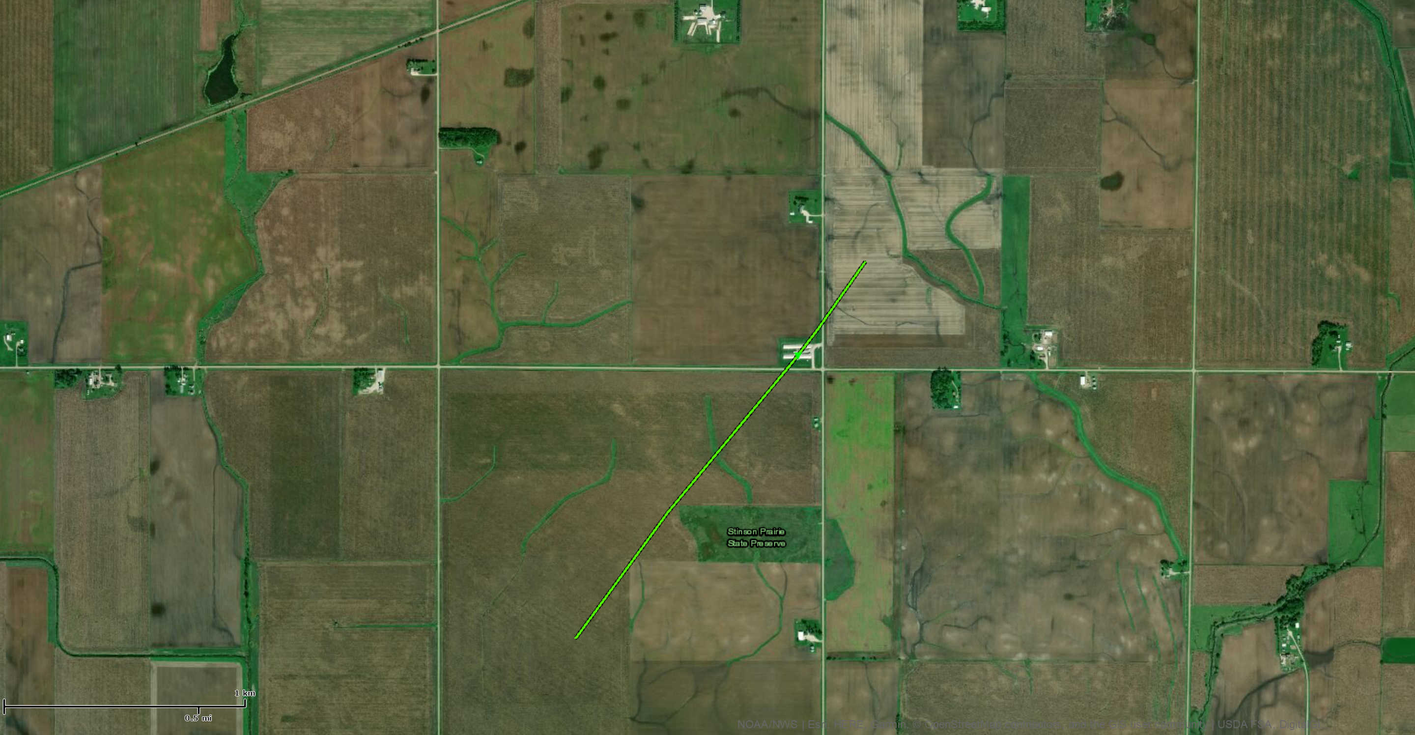
Thunderstorms occurred over western and northern Iowa during the afternoon producing localized heavy rain and a brief tornado west of Algona.Tornadoes:
|
Tornado - 6 WSW Algona
|
||||||||||||||||
The Enhanced Fujita (EF) Scale classifies tornadoes into the following categories:
| EF0 Weak 65-85 mph |
EF1 Moderate 86-110 mph |
EF2 Significant 111-135 mph |
EF3 Severe 136-165 mph |
EF4 Extreme 166-200 mph |
EF5 Catastrophic 200+ mph |
 |
|||||
 |
Media use of NWS Web News Stories is encouraged! Please acknowledge the NWS as the source of any news information accessed from this site. |
|
US Dept of Commerce
National Oceanic and Atmospheric Administration
National Weather Service
Des Moines, IA
9607 NW Beaver Drive
Johnston, IA 50131-1908
515-270-2614
Comments? Questions? Please Contact Us.