Wind and Tornadoes on April 11, 2013
|
|
Event Summary for Central Alabama
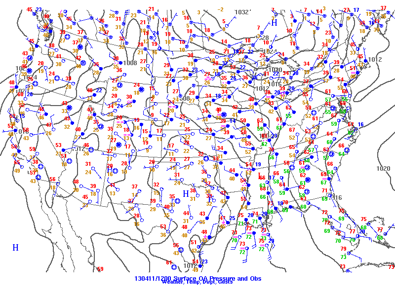
A line of showers and thunderstorm moved through central Alabama during the afternoon and evening hours on April 11. During the early afternoon hours, several discrete supercells moved into central Alabama ahead of the line of storms and produced several areas of damage in west central Alabama. Once the line of storms moved into the area, several segments of the line isolated pockets of damaging winds and downed trees. By late afternoon and early evening several segments along the line of storms began to rotate in a more unstable air mass across southeastern sections of central Alabama. Additional damage occurred along the line as it moved slowly eastward.
The information contained below is the individual tornado events that occurred. The data is PRELIMINARY and may be subject to change.
|
|
Location/Clickable Detailed Summary Link
|
Damage Rating/Estimated Maximum Wind Speeds
|
Injuries/Fatalities
|
Damage Path Length/Width
|
Starting Point/Time
|
Ending Point/Time
|
|
|
EF-1
100-110 mph
|
None
|
12.37 miles
1050 yards
|
33.2654/-88.3072
1248 pm
|
33.4142/-88.1995
106 pm
|
|
|
EF-1
86 mph
|
None
|
5.49 miles
500 yards
|
33.9197/-87.5361
245 pm
|
33.9628/-87.4577
251 pm
|
|
|
EF-1
110 mph
|
None
|
2.63 miles
250 yards
|
34.0128/-87.4332
257 pm
|
34.0346/-87.3940
300 pm
|
|
|
EF-1
105 mph
|
None
|
1.16 mile
300 yards
|
34.1421/-87.3203
310 pm
|
34.1590/-87.3199
313 pm
|
|
|
EF-1
100 mph
|
1 Injury
|
0.38 miles
50 yards
|
34.1931/-87.1196
326 pm
|
34.1984/-87.1218
327 pm
|
|
|
EF-1
90 mph
|
None
|
20.16 miles
800 yards
|
32.8455/-87.1709
418 pm
|
33.0034/-86.8788
441 pm
|
|
|
EF-2
120 mph
|
1 Injury
|
5.08 miles
200 yards
|
32.5327/-85.7365
834 pm
|
32.5967/-85.6934
844 pm
|
|
 |
|
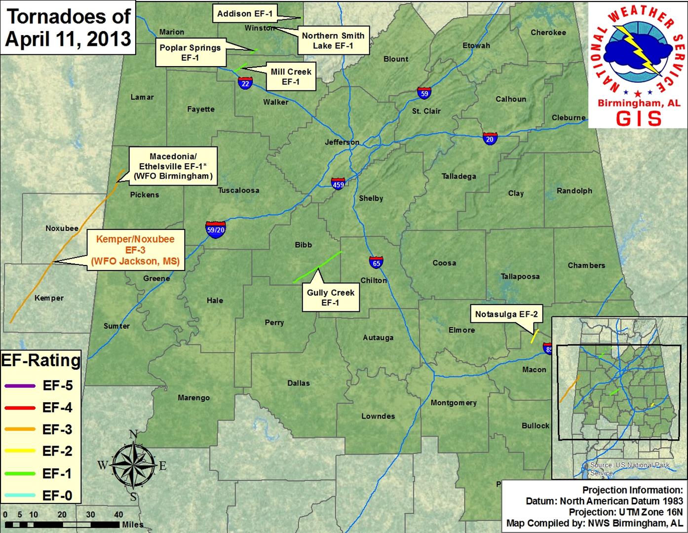
*The Macedonia/Ethelsville EF-1 Tornado is marked with an asterisk because it was a continuation of the Kemper/Noxubee EF-3 Tornado in Mississippi, surveyed by NWS Jackson, Mississippi. The portion of the tornado in Alabama that was surveyed by NWS Birmingham was rated EF-1.
The tornado damage "swaths" as depicted in the image above, and on the individual tornado links, are an estimate of the damage widths along the track. In other words, the track width may not represent the actual damage in all locations, as we interpolate the values between actual surveyed damage points. These maps are soley for the purpose of showing the general track of each tornado. Remember, tornadoes do not always move in straight lines, and the intensity does not remain constant. It is also possible to have other thunderstorm wind-related damage in close proximity to the tornado tracks from such features as inflow and rear flank downdrafts, which can produce tornado-like damage. |
|
Other affected County Warning Areas
|
|
|
Severe Weather Episode Data
|
|
|
| |
|