National Weather Service United States Department of Commerce

Northern Smith Lake (Winston) EF-1 Tornado
April 11, 2013

 
EF-1
Estimated Maximum Wind:
105 mph
Injuries/Fatalities:
None
Damage Path Length:
1.17 mile
Maximum Path Width:
300 yards
Approximate Start Point/Time:
34.1421/-87.3203 at 310 pm
Approximate End Point/Time:
34.1590/-87.3199 at 313 pm
 

National Weather Service meteorologists surveyed the damage between Double Springs and Houston in Winston County and have determined that the damage was due to a brief EF-1 tornado. The tornado touched along Highway 278 just east of the Winston County Airport. The tornado tracked generally north where it snapped and uprooted numerous trees. The tornado then moved along the lake shore and crossed the lake. One boat house was destroyed, and a pontoon boat inside was flipped over. Several hardwood trees fell onto lake homes and sheds along Gary's Road and Spiller Road. The tornado weakened as it approached Robinson Bottom Road. The tornado lifted after it crossed Robinson Bottom Road.

A special thanks to the National Weather Service office in Huntsville for performing this storm survey.


Radar Data 

Radar Image
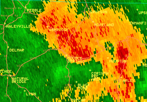
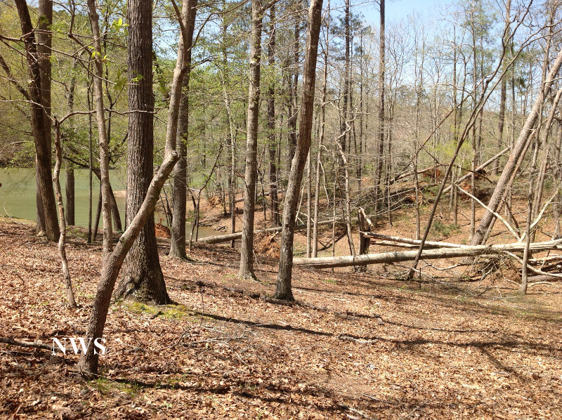
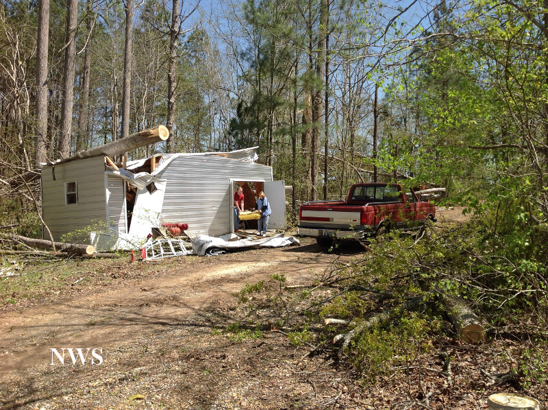
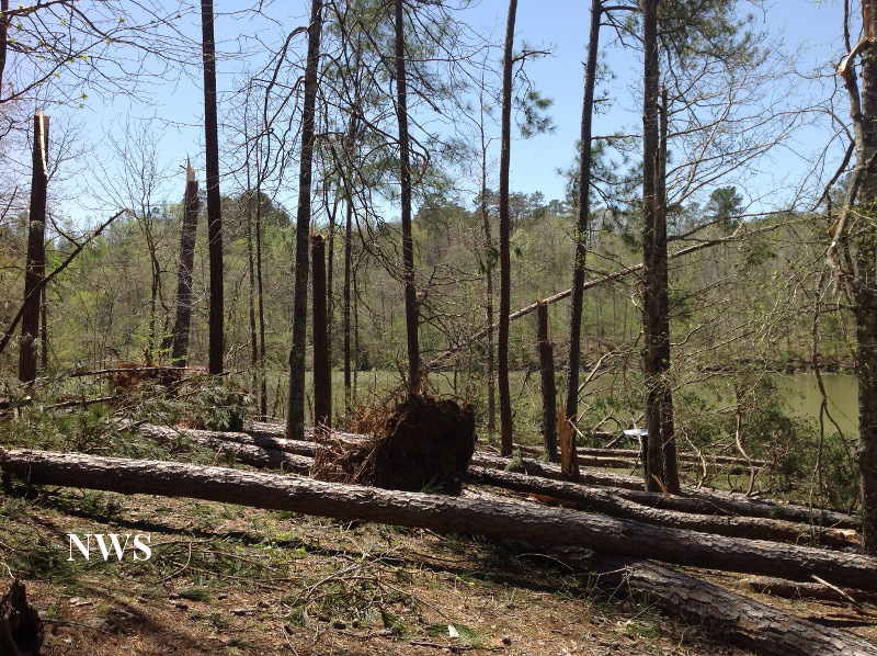
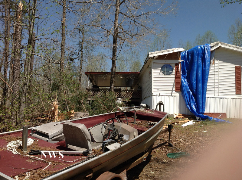
This is reflectivity image from KGWX as the tornado was on the ground. This is the same storm that produced tornadoes in  Winston County, Pickens County, and back into Mississippi.

Radar Image
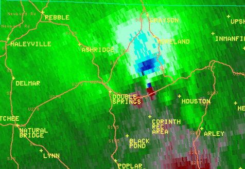
This is an SRM velocity image from KGWX when the tornado was on the ground. This storms produced several tornadoes westward back into Mississippi.

 
Damage Pictures 

Storm Damage
Tree Damage

Storm Damage
Tree & Shed Damage

Storm Damage
Tree Damage

Storm Damage
Home Damage