Terminal Aerodrome Forecast (TAF):
The NWS office in Greenville-Spartanburg, SC issues a Terminal Aerodrome Forecast (TAF) for 6 airports within our county warning area.
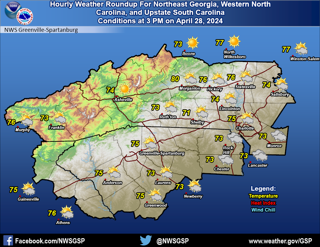
The latest regional METARs
Aviation Weather Center Standard Briefing includes AIRMETs/SIGMETs, weather synopsis, current conditions, en-route and destination forecasts, winds aloft, etc.

