
Lake effect snow will impact the Great Lakes region through the day. Gusty winds will pick up across the Midwest, Northeast and Mid-Atlantic beginning this afternoon following a cold front. Elevated fire weather conditions will persist across the Desert Southwest today, with critical fire weather conditions developing Wednesday and Thursday in the Southern Plains. Read More >
Fort Worth CWSU
Center Weather Service Unit
ZFW CWSU Planning Brief...For ATC planning purposes.Locally produced graphics may not be updated between 2100 & 0500 Central Time. |
|
||||||
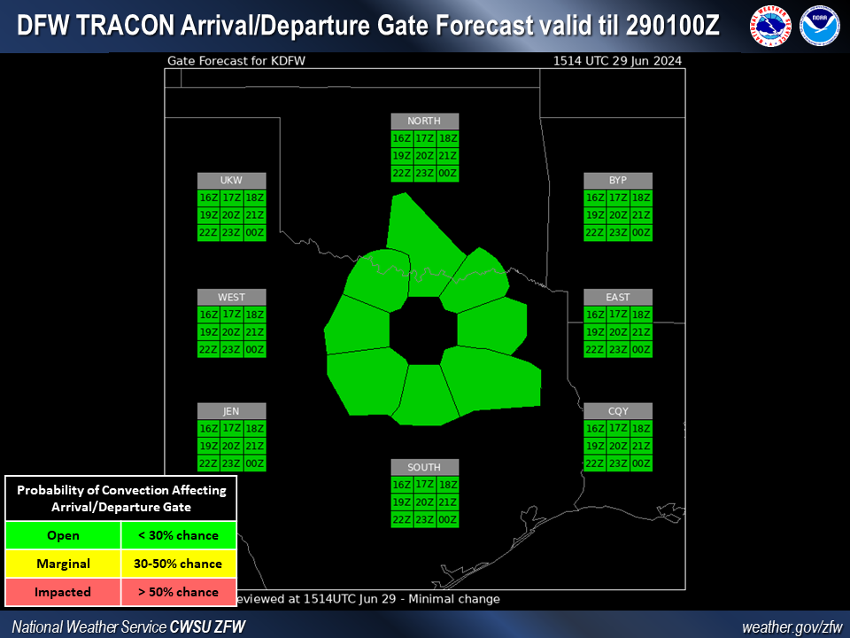
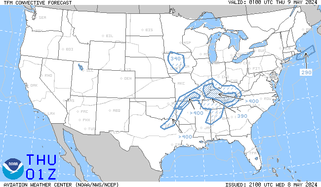
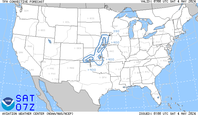
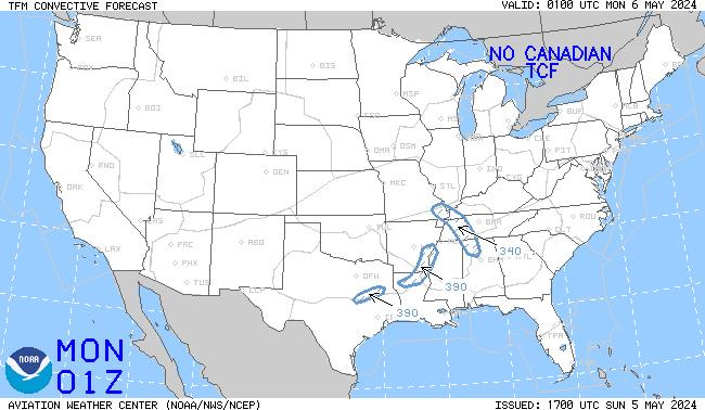
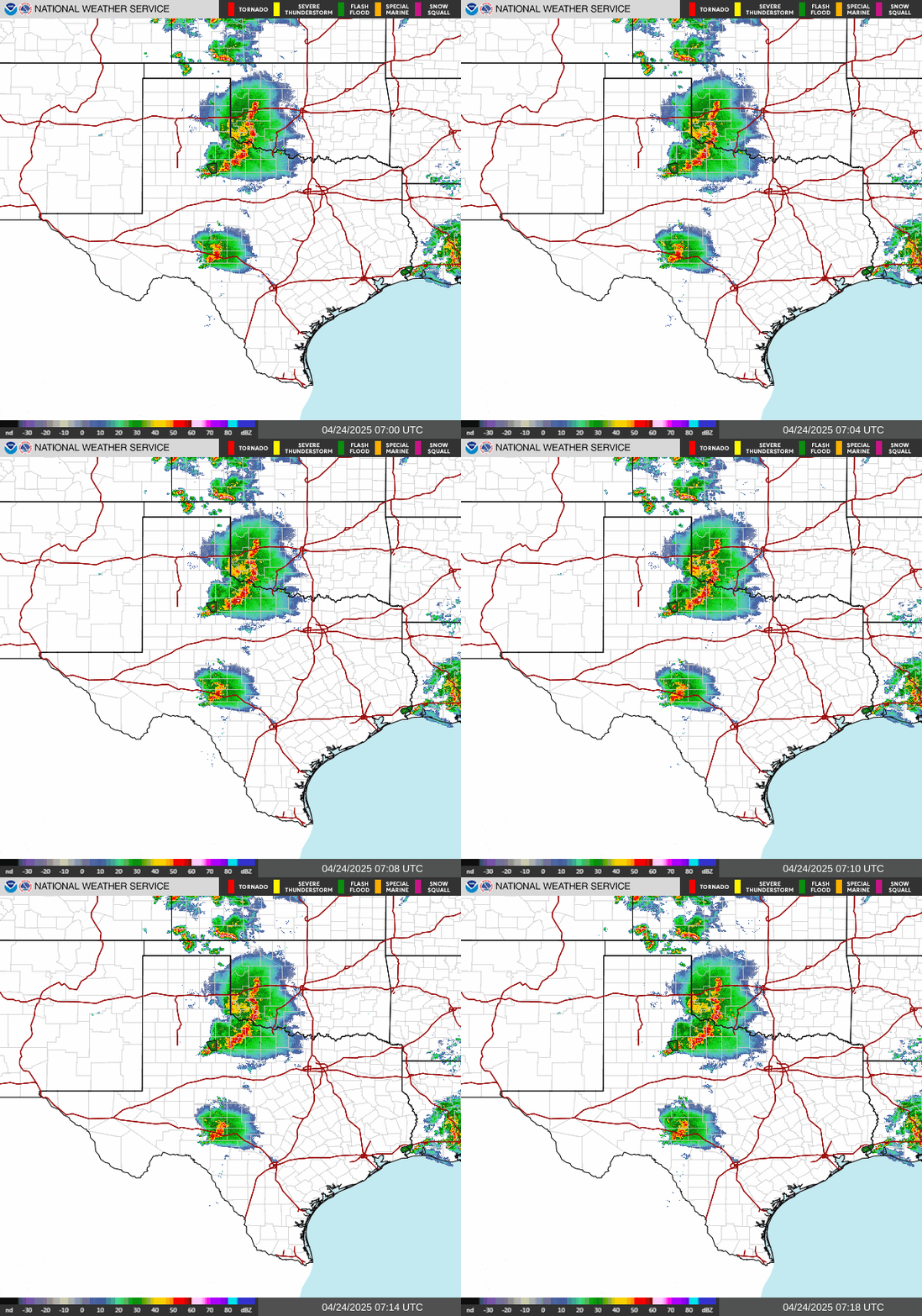
| Surface Analysis | Surface Forecast | DFW TRACON Forecast | DFW Gate Forecast | Radar | SAT VIS | SAT IR | TCF 4 HR | TCF 6 HR | TCF 8 HR | SPC Day1 | SPC Day2 | SPC Day3 |
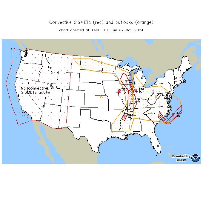
| Jetstream-ZFW | Corner Post Wind | Compression | TURB AOA FL180 | TURB AOB FL180 | Icing | Convective SIGMETs |
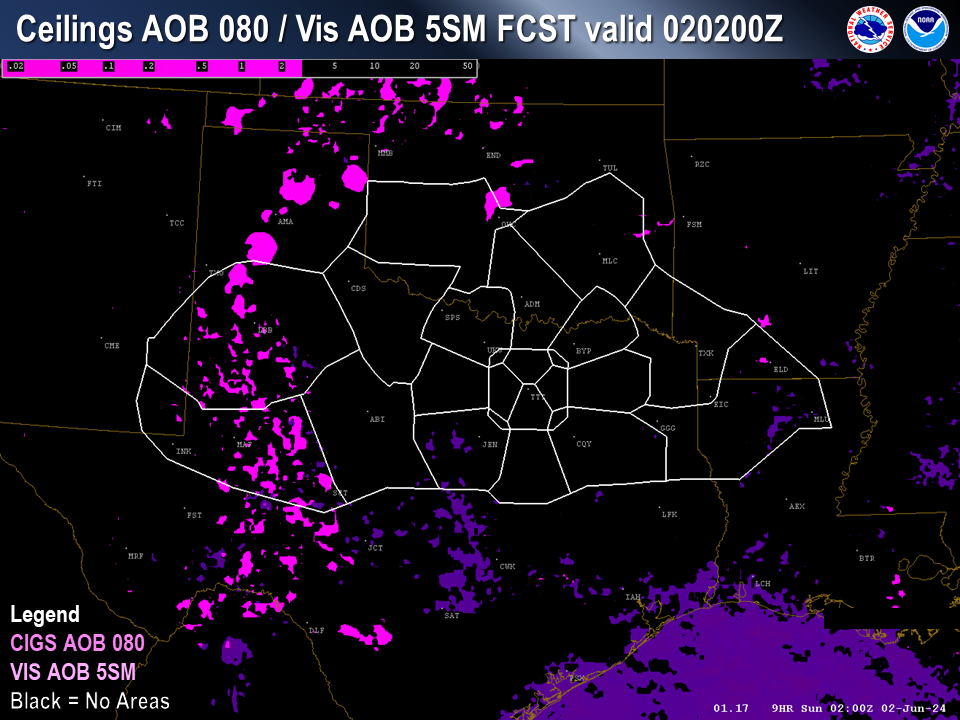
| VFR-MVFR-IFR Analysis | VFR-MVFR-IFR Forecast | CIG/VIS PIREP Request Analysis | CIG/VIS PIREP Request Forecast |






US Dept of Commerce
National Oceanic and Atmospheric Administration
National Weather Service
Fort Worth CWSU
13800 FAA Road
Fort Worth, TX 76155
Comments? Questions? Please Contact Us.

