
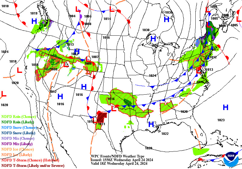
A prolonged atmospheric river will continue to bring gusty winds, heavy rainfall which may lead to urban and river flooding with possible landslides, and heavy inter-mountain snow over the Pacific Northwest into the northern Rockies through Thursday. A clipper will cross the Great Lakes and Northeast U.S. into Thursday with areas of moderate to heavy snow and mixed wintry precipitation. Read More >
Click on an image to enlarge the hourly weather graphic, or see the 7-day forecast or expanded hourly forecast by visiting the links below the images.
Dallas/Fort Worth |
Waco, TX |
|
|
|
Click on any image to enlarge it.
CONUS Sector |
Southern Plains Sector |
 |
 |
Fort Worth, TX Radar (KFWS) |
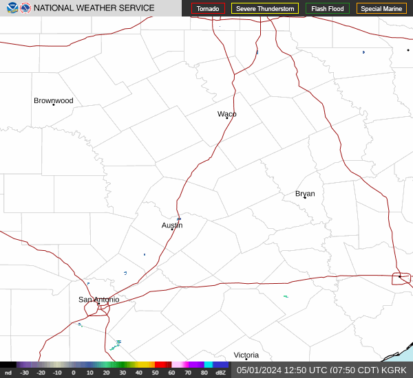
Granger/Fort Cavazos, TX Radar (KGRK) |
 |
 |
Geocolor Satellite Imagery with Lightning Density |
Infrared Satellite Imagery |
 |
 |
Click an image to enlarge it.
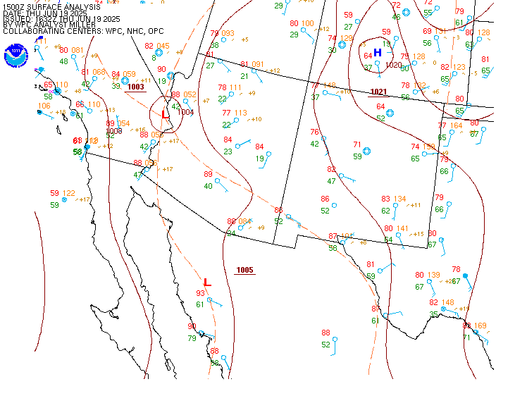
Southwest CONUS |
South-Central CONUS |
 |
 |
Click on an image to enlarge it.
6-Hour Forecast |
12-Hour Forecast |
18-Hour Forecast |
24-Hour Forecast |
 |
 |
 |
 |
Three-Day Loop |
|||
 |
|||
Click an image to enlarge it.
Day 1 |
Day 2 |
Day 3 |
|---|---|---|
 |
 |
 |
Click an image to view the detailed outlook.
Day 1 |
Day 2 |
Day 3 |
|---|---|---|
 |
 |
 |
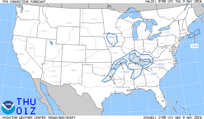
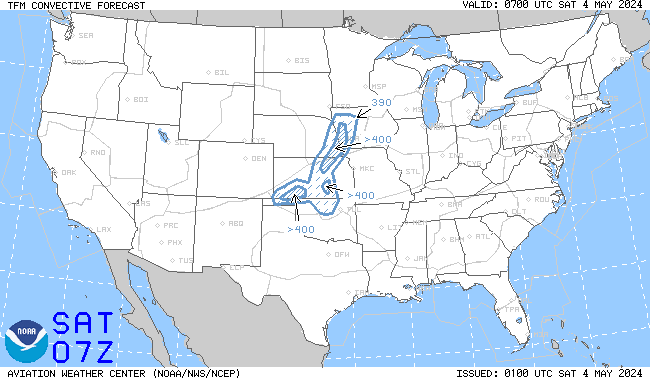
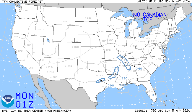
Click an image to enlarge it. Click here to go the AWC TCF website.
4-Hour Forecast |
6-Hour Forecast |
8-Hour Forecast |
|---|---|---|
 |
 |
 |
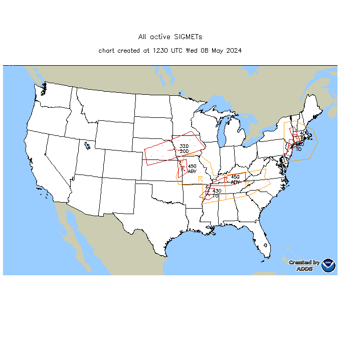
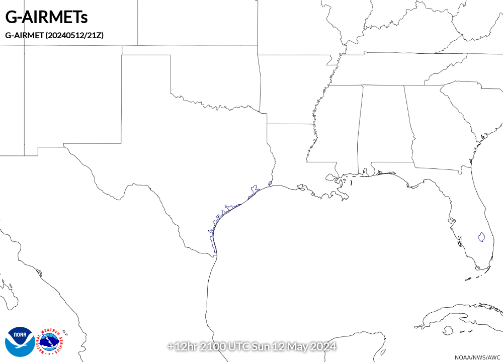
Click an image to go to the AWC website.
SIGMETs |
||||
|---|---|---|---|---|
 |
||||
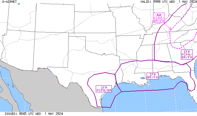
AIRMET Sierra (Ceilings/Visibility/Mountain Obscuration) |
||||
00 Hour |
03 Hour |
06 Hour |
09 Hour |
12 Hour |
 |
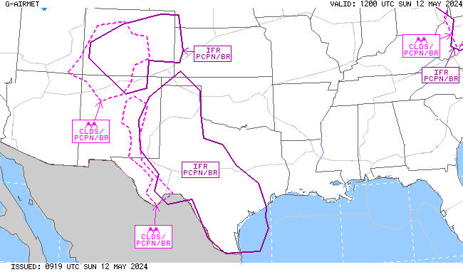 |
 |
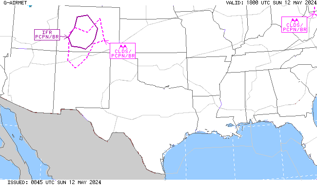 |
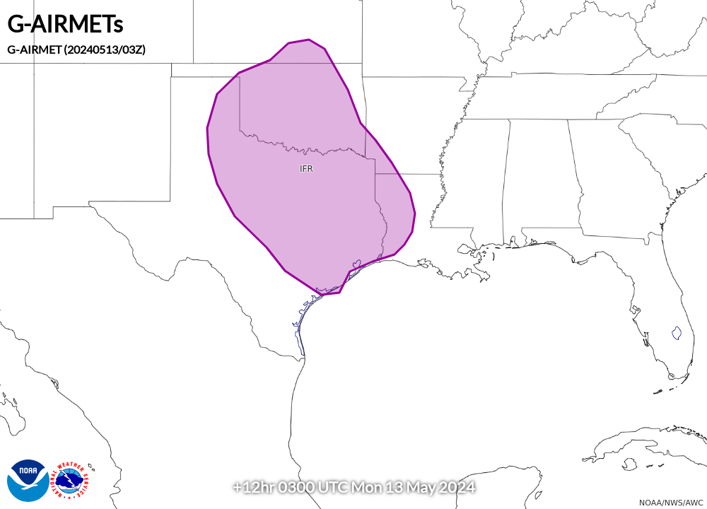 |
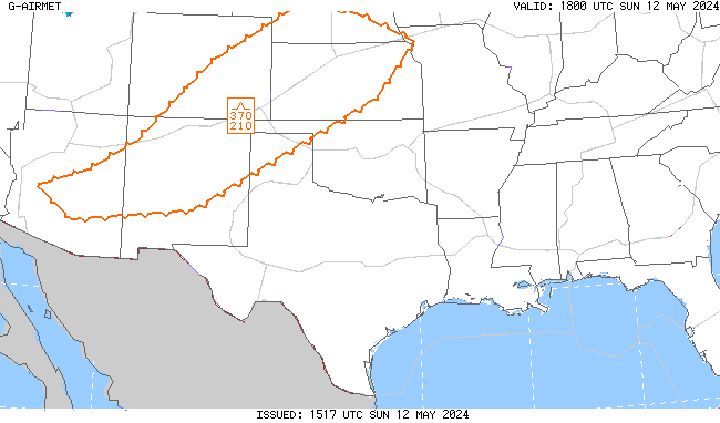
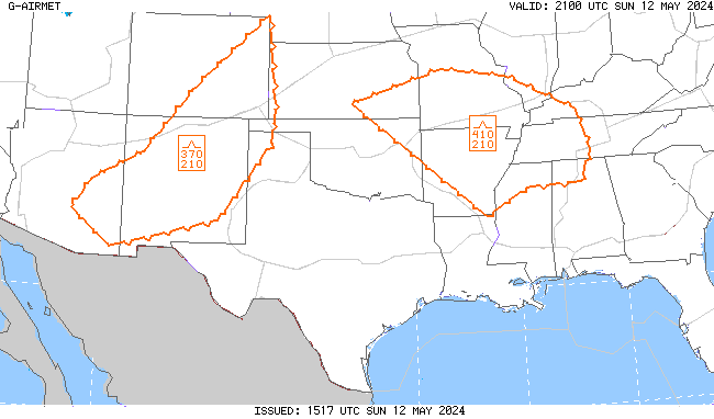
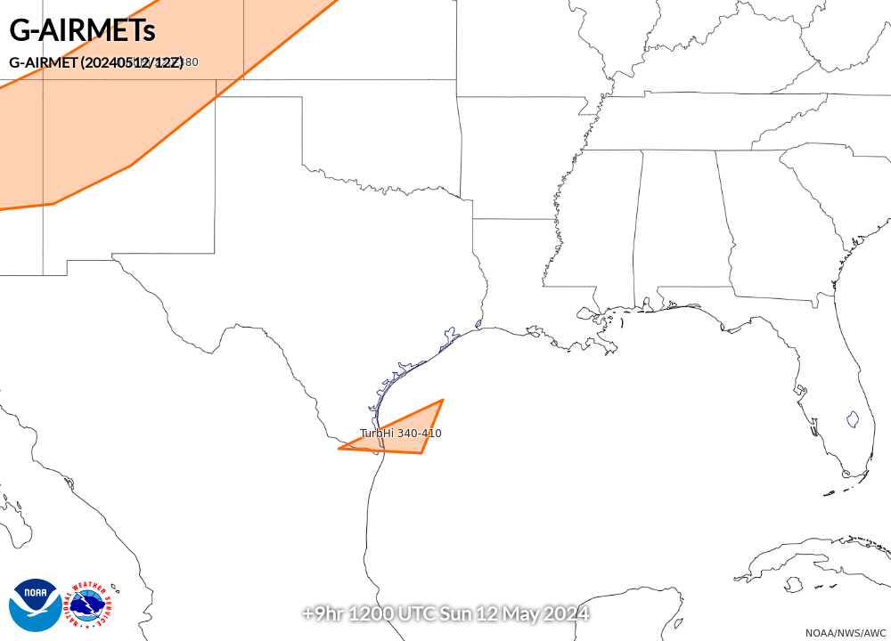
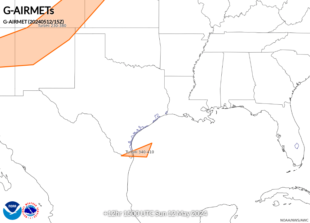
AIRMET Tango (Turbulence/Low-Level Wind Shear/Strong Surface Winds) |
||||
00 Hour |
03 Hour |
06 Hour |
09 Hour |
12 Hour |
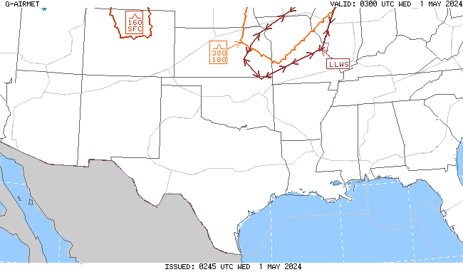 |
 |
 |
 |
 |
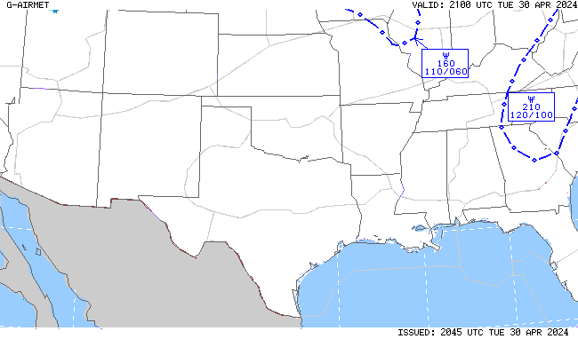
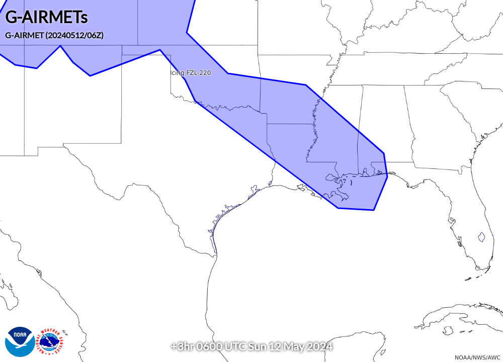
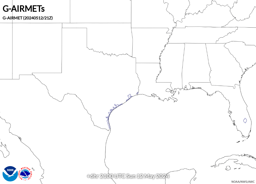
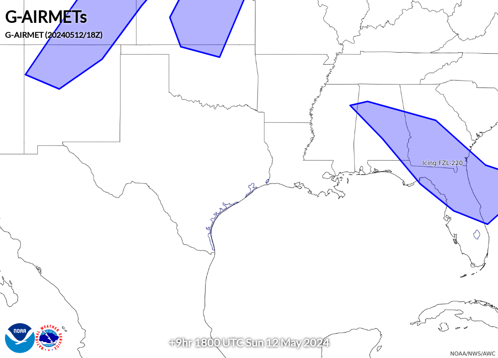
AIRMET Zulu (Icing and Freezing Level) |
||||
00 Hour |
03 Hour |
06 Hour |
09 Hour |
12 Hour |
 |
 |
 |
 |
 |


