Lake effect snow will continue downwind of the Lower Great Lakes through Wednesday, with accumulations of 4 to 8 inches possible for portions of Upstate New York and the Adirondacks. Gusty winds and dry conditions will result in critical fire weather conditions in the Southwest and Southern Plains Wednesday through Friday. Red Flag Warnings have been issued. Read More >
Spaceflight Meteorology Group
National Center
This page is under development. More content coming soon!
Kennedy Space Center, FL / USAF Eastern Range
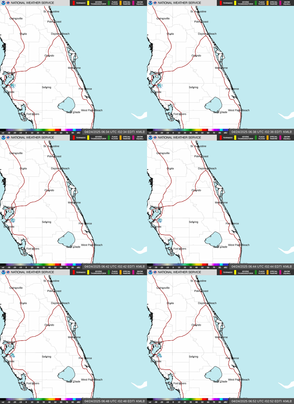
Melbourne, FL WSR-88D Radar
SMG Experimental Products
KSC mesonet plot 54 ft and 204 ft level data
Cape Canaveral Rawinsonde (weather balloon sounding)
KSC Tropospheric Doppler radar wind profiler
South Cape 915 MHz wind profiler
False Cape 915 MHz wind profiler
Merritt Island 915 MHz wind profiler
Mosquito Lagoon 915 MHz wind profiler
TICO Airport 915 MHz wind profiler
All USAF Eastern Range / KSC Profilers in one
Simple Unified KSC Wind Profile
US Dept of Commerce
National Oceanic and Atmospheric Administration
National Weather Service
Spaceflight Meteorology Group
Johnson Space Center / WS8
Houston, TX 77058
Comments? Questions? Please Contact Us.


