National Weather Service United States Department of Commerce

Severe Thunderstorms in the East Sunday; Excessive Heat Lingers in the Southern U.S. and Returning to California

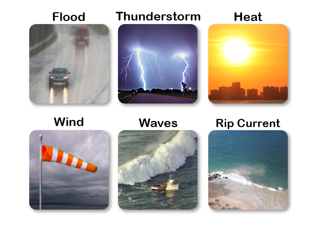
Scattered damaging winds from severe thunderstorms will be possible across parts of the Northeast and Mid-Atlantic States Sunday. Excessive heat will continue over the southern U.S. Sunday before another round of heat arrives Monday through the central and southern U.S. spreading into the East by Independence Day. California will see excessive heat starting Tuesday. Read More >

Click a location below for detailed forecast.

Last Map Update: Sun, Jun 30, 2024 at 7:35:06 am AST

Otro día con una Advertencia de Calor vigente para la mayoria de las areas costeras y urbanas de Puerto Rico, Vieques, Culebra y Santa Cruz. Another day with a Heat Advisory in place for most coastal and urban areas of Puerto Rico, Vieques, Culebra and St. Croix.
Es probable que nuevamente se desarrollen tronadas por la tarde en el oeste y suroeste de Puerto Rico. Afternoon convection will likely develop once again across western/southwestern Puerto Rico.
Hurricane Beryl: At 500 AM AST (0900 UTC), the center of Hurricane Beryl was located near latitude 10.7 North, longitude 53.1 West. Beryl is moving toward the west near 21 mph (33 km/h). A continued quick westward to west-northwestward motion is expected during the next few days. On the forecast track, the center of Beryl is expected to move across the Windward Islands early on Monday and across the southeastern Caribbean Sea on Monday night and Tuesday. Satellite estimates indicate that the maximum sustained winds have increased to near 100 mph (155 km/h) with higher gusts. Rapid strengthening is forecast over the next day or so, and Beryl is expected to become an extremely dangerous hurricane before it reaches the Windward Islands. Hurricane-force winds extend outward up to 15 miles (30 km) from the center and tropical-storm-force winds extend outward up to 80 miles (130 km). The estimated minimum central pressure is 981 mb (28.97 inches).
Eastern Tropical Atlantic: An area of low pressure located several hundred miles southwest of the Cabo Verde Islands is producing an area of disorganized showers and thunderstorms. Environmental conditions appear conducive for additional development of this system, and a tropical depression is likely to form by the middle of next week while it moves generally westward at 15 to 20 mph across the eastern and central tropical Atlantic. * Formation chance through 48 hours...low...30 percent. * Formation chance through 7 days...high...70 percent.