National Weather Service United States Department of Commerce

Heat Continues for the East and South-Central U.S.; Strong to Severe Storms Across the Mid-Atlantic and Northeast

The extremely dangerous heat wave continues across the East Coast and much of the South-Central U.S. today. Record high temperatures are expected for some areas especially across the Mid-Atlantic where extreme heat risk conditions reside. There is a Slight Risk (level 2 of 5) of severe thunderstorms today for the northern Mid-Atlantic into portions of southern New England. Read More >

Click a location below for detailed forecast.

Last Map Update: Wed, Jul 17, 2024 at 1:14:38 pm AST
TJUA Radar - Cayey, P.R.
Low level winds will be generally from the southeast as high pressure builds across the west and central Atlantic. Hot and humid conditions will continue the rest of the workweek with an extensive layer of Saharan dust forecast to spread and linger across the region through the end of the week promoting hazy skies.
Tutt low and associated low level trough will continue to influence the local weather pattern today but will gradually weaken while moving westward away from the region. Low level winds will be generally from the southeast as high pressure builds across the west and central Atlantic. Hot and humid conditions will continue the rest of the workweek with an extensive layer of Saharan dust forecast to spread and linger across the region through the end of the week promoting hazy skies. A tropical wave will bring additional moisture and instability Friday through Saturday. Moderate to locally strong east to southeast winds will bring breezy conditions later today and through the weekend.
A prominent Saharan Air Layer (SAL) will reach the islands later today prompting hazy skies and decreased air quality with pulses continuing to arrive through Sunday. Aerosol Optical Depth (AOD) values can reach around 0.40 to 0.60. These conditions can exacerbate respiratory conditions in immunocompromised, vulnerable and sensitive groups.
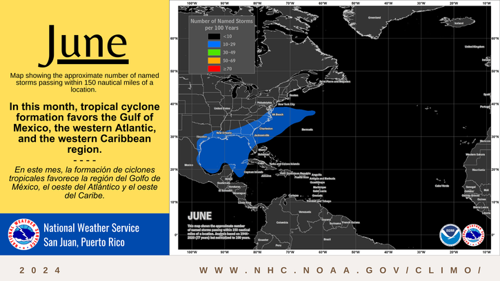
Tropical cyclone formation is not expected during the next 7 days. | No se espera la formación de ciclones tropicales durante los próximos 7 días.
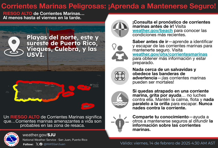
There is a moderate risk of rip currents for northern, eastern and southern Puerto Rico, as well as for St. Croix, eastern Culebra and Vieques. | Hay un riesgo moderado de corrientes marinas para el norte, este y sur de Puerto Rico, como también para St. Croix y el este de Culebra y Vieques.