National Weather Service United States Department of Commerce

Active Weather for the West and Northeast Corridors

Moisture continues to flow into portions of the West, Great Basin and Rockies with strong winds, lower elevation rain and higher elevation snow. Precipitation will occasionally be heavy with impacts to travel and possible power outages. For the Northeast, gusty winds, lower elevation rain and accumulation snow for the higher terrain through this weekend; Slow improvements expected through Sunday. Read More >

Click a location below for detailed forecast.

Last Map Update: Fri, Nov 22, 2024 at 1:20:30 pm AST

TJUA Radar - Cayey, P.R.
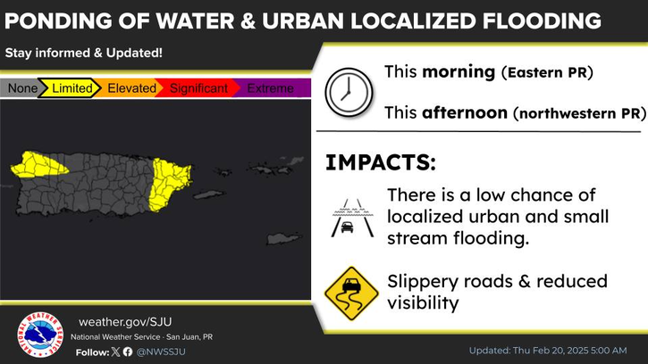
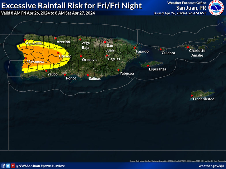
Abundant tropical moisture from the Caribbean Sea will filter into the region today. Shower activity will increase in the afternoon hours into tonight, with a limited risk of excessive rainfall for portions in the south and interior Puerto Rico including Vieques.
A high risk of rip currents is in effect for the beaches and coastal areas from Aguadilla to Fajardo and Culebra through 6 PM AST this evening
There is a high rip current risk for the beaches from the northwestern to northeastern beaches of Puerto Rico including Culebra.