|
To effectively warn for the protection of life and property, the National Weather Service must have a thorough handle on current weather conditions throughout the region. Although weather satellites and Doppler Weather Radar use the latest technology to provide a wealth of information to forecasters, no tool has yet been developed that can replace a human observation of the weather in a local area at a specific time. While we oversee a diverse network of nearly 1,000 volunteers, we can always use more "eyes and ears" in the field! Check out the information below for more information on our weather spotter and weather observer networks and see how you can participate and serve. If you would like additional information about any of these programs please contact Warning Coordination Meteorologist Tony Edwards at Tony.Edwards@noaa.gov. |
Weather Spotter (SKYWARN)

Trained weather spotters alert the NWS to significant weather events in their communities and help us determine when and where we need to issue warnings. Participation in the SKYWARN® spotter program is entirely voluntary. You are under no obligation and cannot be compensated. However, your vigilance is greatly appreciated - it helps others and could save lives!
There are currently two methods to becoming a SKYWARN® weather spotter for NWS Charleston, WV: 1) attending an in-person class or live webinar, or 2) watching a recorded training and taking an online quiz.
Training Method #1: Attending an In-Person Training Class or Live Webinar
The National Weather Service, in cooperation with county Emergency Management directors and/or civic groups, will typically hold several weather spotter classes each year. Additional classes will be held by live online webinar. A schedule of upcoming classes can be found below. These classes are open to the public and free of charge.
Note: These courses may be canceled or changed on short notice due to active weather. We will communicate these changes via this website and our social media channels.
Training Method #2: Watching Recorded Webinars and Taking Online Quiz
New weather spotters, or spotters needing a refresher, who are unable to make it to a live training, may watch the following recorded webinars. Viewing these webinars and successfully completing the quiz linked below with a passing score of 70 or above will qualify you to be a weather spotter for NWS Charleston, WV.
| Basic Weather Spotter Class | Winter Weather Spotter Class |
 Basic Weather Spotter Class Slides (pdf) Basic Weather Spotter Class Slides (pdf) |
Winter Weather Spotter Class Slides (pdf) |
Please complete the Quiz after watching the videos.
We will be notified after you have successfully completed the quiz (passing score of 70 required) and will follow up with additional information by email. Be sure to check your spam folder as sometimes follow up emails get sent there.
 |
 |
||
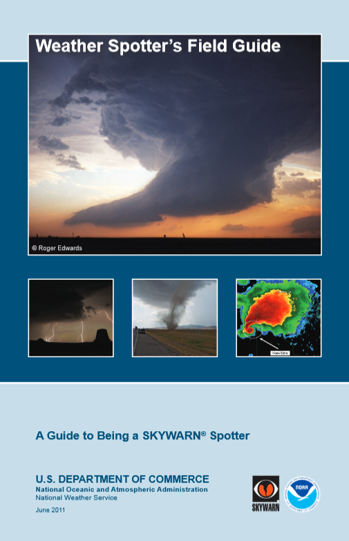
| Weather Spotter's Field Guide (pdf) | NOAA Cloud Chart (pdf) |
|
Real-Time Severe Weather Information
Reporting Resources/Apps
Weather Safety Resources |
Severe Weather History
Educational |
Cooperative Weather Observers
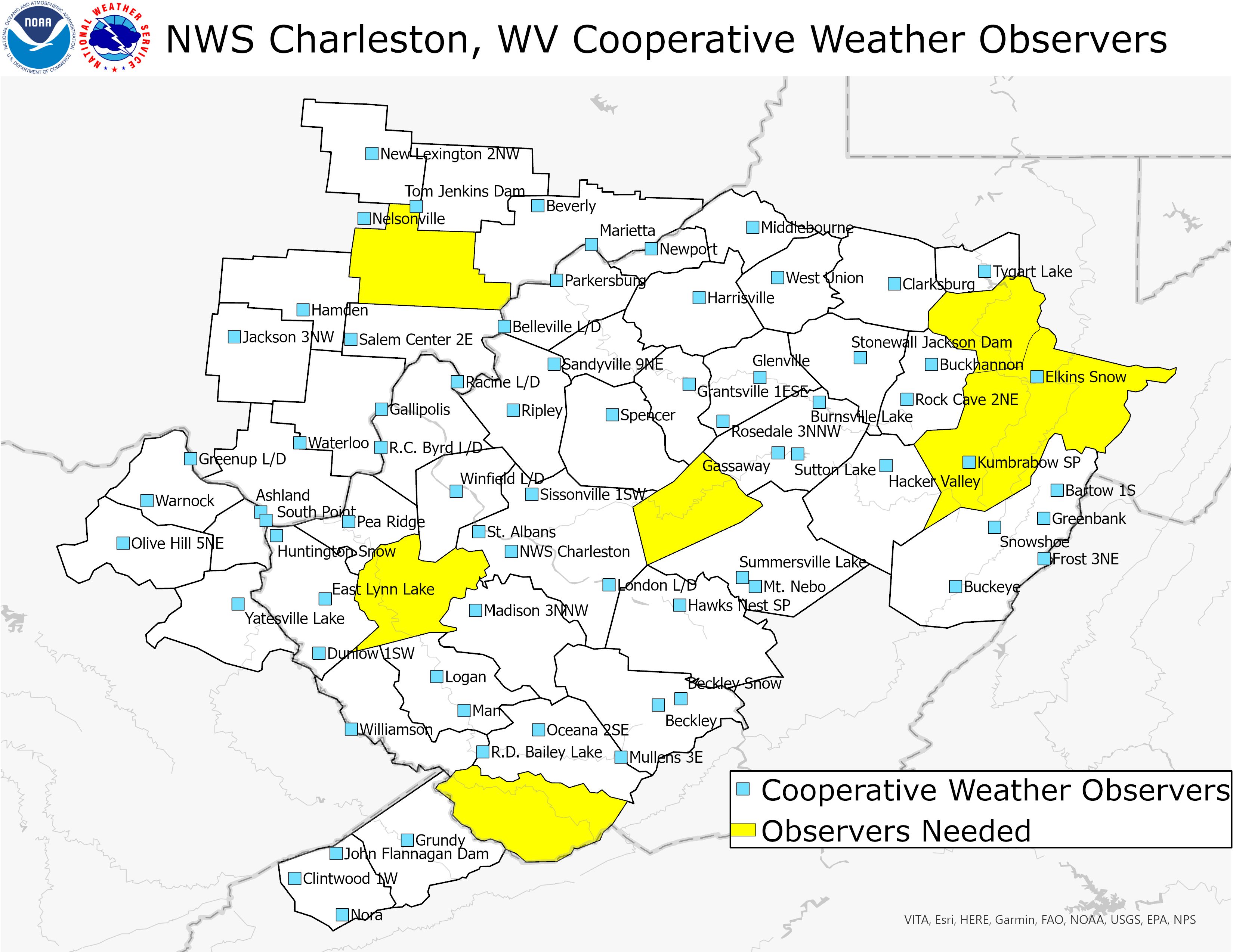
Cooperative Weather Observers are community volunteers that take various weather observations for the National Weather Service. Most observers record measurements of high and low temperatures, rainfall, snowfall and snow depth around 7 am local time each morning. NWS Charleston, WV manages a dense network of Cooperative Weather Observers but we still need observers in a few locations (counties marked in yellow in the map below).

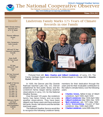
The data recorded by our Cooperative Weather Observers is used in real-time to assist our forecast and warning operations and is stored for future use at the National Centers for Environmental Information. In fact, data from Cooperative Weather Observers makes up the backbone of the long term climate record in the United States and some of the Cooperative Weather Observer locations in our region have weather observations dating back well into the 19th century! These include:
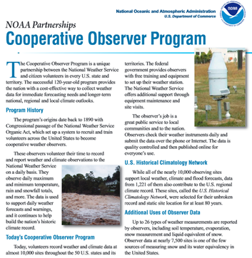
Find out more about our Cooperative Weather Observer program and view the data from the links below...
 |
 |
|
| National Cooperative Observer Page | Cooperative Weather Observer Newsletter |
For More Information...
Community Collaborative Rain, Hail & Snow Network
CoCoRaHS (pronounced KO-ko-rozz) is a grassroots volunteer network of backyard weather observers of all ages and backgrounds working together to measure and map precipitation (rain, hail and snow) in their local communities. By using low-cost measurement tools, stressing training and education, and utilizing an interactive website, the goal is to provide the highest quality data for natural resource, education and research applications.

Why do you need to know how much precipitation fell in my backyard?
Even in the day and age in which we live with Doppler Radar scanning the skies and automated weather observing equipment in many communities, we still need humans manually measuring the precipitation in their backyards. These manual observations serve as ground truth for the precipitation estimates we get from Doppler Radar and automated station measurements. Manual observations also fill in gaps where automated equipment doesn’t exist. Plus, there are no automated instruments in our region that measure the snow. So, we rely heavily on manual human observations to know how much snow fell.
Here’s a recent example of how rainfall varied across the “Metro Valley” between Huntington and Charleston.

Even though we have several CoCoRaHS observers in this heavily populated area, even more are needed to accurately map the rainfall. In more rural counties of our region, we often have no observers at all.
How do I become a CoCoRaHS observer?
Contributing your precipitation measurements each day takes less than 5 minutes (there’s even an app for that!) and it’s a fun way to learn about the wonderful natural resource that falls from the sky. Here’s how to join and start sharing your precipitation measurements:
Have additional questions or want to learn more?
The CoCoRaHS website is a great resource to visit in order to learn more about the network and to look at precipitation measurements being collected right now across our region. Each state has coordinators that can also help answer any questions you may have. Links to these contacts are included below: